Lynn Lake – Table of Contents
- Hike Introduction
- Hike Statistics
- Lynn Lake Video
- Map and Elevation
- Hiking Route Description
- Directions and Parking
- Free PDF Download
Lynn Lake Hike Intro
Lynn Headwaters Backcountry Winter Closure
This hike and all backcountry routes at Lynn Headwaters Regional Park are now CLOSED due to hazardous winter conditions. This applies to routes beyond Norvan Falls (e.g. Hanes Valley, Coliseum Mountain and Lynn Lake) as well as routes in the Grouse subalpine (e.g. Dam Mountain, Thunderbird Ridge, Crown Mountain, Goat Mountain, Little Goat & Goat Ridge). See more from Metro Vancouver.
Unpredictable and rapidly changing hazardous mountain weather conditions may include:
– Snow, ice and slippery conditions in steep terrain
– Heavy rainfall
– Rock and ice fall
– Lack of visibility (whiteout caused by fog and/or snow)
– No trail markers
Lynn Lake is a challenging hike located in Lynn Headwaters Regional Park in North Vancouver. The views and scenery on this hike won’t ‘wow’ you nearly as much as the other hikes in the area, but the trail to Lynn Lake is both unique and interesting. If you’re looking for a hike with a beautiful vista or pristine, turquoise lake, this is not for you. If you’re looking for something different and away from the crowds, that presents a hard effort with a little mud and sweat, look no further.
Because a portion of this hike requires walking directly up a creek, it is best done late in the summer when the creek is running at a trickle (you can check the LHRP website for seasonal route closures). If you go on a rainy day as I did, take extra caution on the large, smooth, slippery rocks of the creek-bed. I took at least a few spills on this one.
As Lynn Lake is remote and the trail is not traveled by many, take extra caution on this hike. Be doubly sure to carry the ten essentials and follow common-sense hiking safety. And you definitely don’t want to be doing this hike if there is any snow left on the trail.
Lynn Lake Hike Stats
Rating: Very Difficult
Distance: 22 km
Net Elevation Change*: 600 m
Highest Point: 800 m
Time Needed: 8+ hours
Type: Out-and-back
Season: June to October
Dogs Friendly: Allowed, but difficult
Est. Driving Time from Vancouver: 30 minutes
Trailhead Coordinates: 49.359619, -123.027950
*For a better understanding of the stats and difficulty rating, check out the Hiking Guides page for details. Always carry The Essentials and fill out a trip plan.
Lynn Lake Video
Here is a 2-minute video of our experience on this hike!
Lynn Lake Hike Map and Elevation
Lynn Lake
Profile
Lynn Lake Hiking Route
At the Lynn Headwaters Regional Park parking lot there is a signboard with details about the hiking trails in the area, including their estimated completion times. There are numerous trails in the park, including great hikes up to Coliseum Mountain and Lynn Peak. There is a PDF map of the park’s trails here. From the signboard, you’ll head north to the bridge that goes over Lynn Creek. Immediately, you will come to a hiker registration station. Fill out a form and drop it in the box (just in case).
Cool fact: “Lynn Headwaters Regional Park has been welcoming a steadily increasing flow of visitors since it opened to the public in 1985 after being kept off-limits for decades as part of the extensive North Shore watershed system”.[source]
Now take the Lynn Loop Trail north. The first part of the hike is easy, just follow the well-defined trail north for about 1.8 km until you come to a junction and a trail sign. Keep heading north, now along the Cedar Mills Trail. Follow Cedar Mills for about 2.3 km until you join up with the Headwaters Trail at the Third Debris Chute. From here the trail will start to become a bit more challenging but stays relatively flat. Again, keep going north, following the numerous yellow trail markers.
Before long, you’ll pass a trail marker for Coliseum Mountain and just beyond that a junction where you can go right to Norvan Falls or left. Go left, over a metal suspension bridge which take you over Norvan Creek and onward to Hanes Valley and the Lynn Lake trail. (If you wish to check out Norvan Falls its a mere 10 minute detour up and back). From here the trail become a bit harder to follow, but there are still plenty of markers to keep you on track. The hike up to this point is fairly flat and fast… a stark contrast to the trail from this point forward.
From the suspension bridge, it’s about 1 km to the next major trail junction. There will be trail sign directing you left, down into Hanes Valley, and straight, along to Lynn Lake. After this point, the trail becomes very steep and technical.
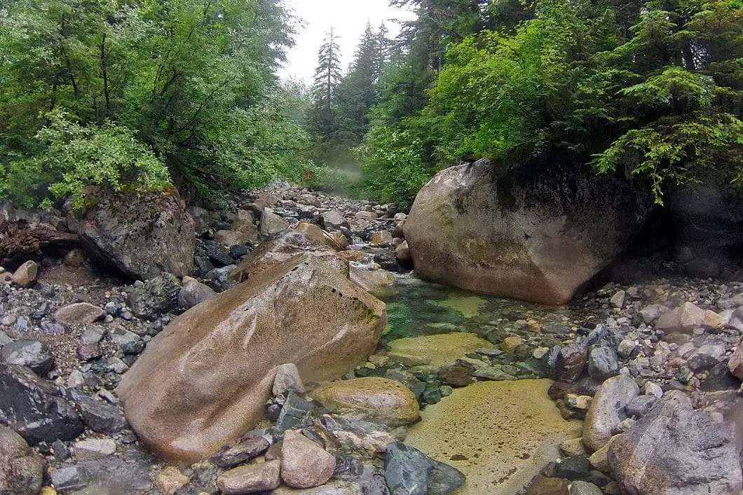
The trail follows alongside Lynn Creek northward. Climb up the trail and you will eventually begin hiking up Lynn Creek itself (this is where Coliseum Creek joins Lynn Creek). From here, some route-finding will be required. It can be difficult to stay on the ‘trail’, so make sure you are never too far from the last known trail marker (mostly orange flagging at this point alongside the creek) and that you are travelling up Lynn Creek.
You will snake your way up the creek, weaving from one side to the other, dodging dead-fall and large boulders. At several points the trail will guide you back into the trees for short stretches, and then back into the creek-bed. Just take your time on this section (not that you will have a choice on the rocks), and follow the orange flagging being careful to see when the trail skips back into the trees. I’m going to repeat my above comment – the rocks will be VERY slippery if wet.
Eventually, the creek will open wide up and you’ll see a cool mini-waterfall on your right with a pool of water draining into the creek. You will cross over this stream (when I was there the water was low, and there was a log jammed above the stream so I was able to climb over). This steep climb up out of the creek bed is one of the most dangerous spots of the entire hike. Take caution.
Download the free PDF version of this guide for offline use
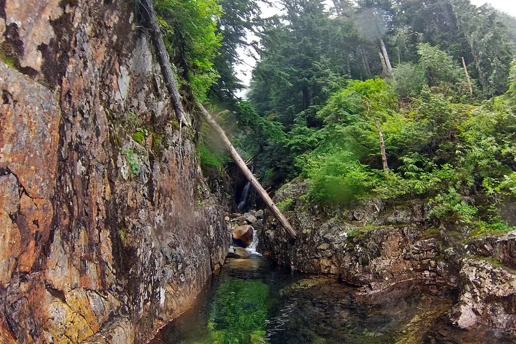
Now the worst is over, but you still have a bit more work to do. The trail will continue sharply upwards into the woods for about another kilometer before it finally flattens out and you reach the Lynn Lake. You will come to the lake, then follow the trail along its west side and come to an open area.
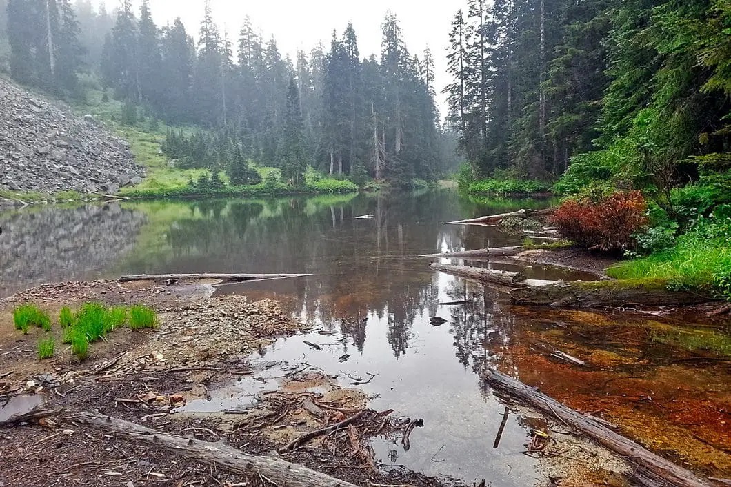
The east side of the lake is a large scree slope and the lake itself is not all that much to look at, but you have to admit the journey was fun. To the north there is a small trail to a SAR cache and nothing else. It’s time to go for a dip in the lake and then retrace your steps back to the parking lot!

Directions and Parking
From Highway 1 West take the Lynn Valley Road (exit #19 north) in North Vancouver. Follow Lynn Valley Road all the way up into the Lynn Headwaters Regional Park parking lots. The park gate is open 8am until 9pm during daylight savings time. Otherwise the gate is open from 8am until dusk.
Google Map directions are here.
Other great hikes in this area
- Lynn Peak Hike (moderate)
- Coliseum Mountain Hike (difficult)
- Norvan Falls Hike (moderate)
- View all hiking guides here


