Abby Grind – Table of Contents
- Hike Introduction
- Hike Statistics
- Map and Elevation
- Abby Grind Video
- Hiking Route Description
- Directions and Parking
- Free PDF Download
- 360° Photosphere
Abby Grind Hike Intro
The Abby Grind (or Abbotsford Grind) is a popular hiking trail for fitness. It is often referred to as ‘Abbotsford’s version of the Grouse Grind’, and it takes about 45 minutes to reach the top at a solid pace.
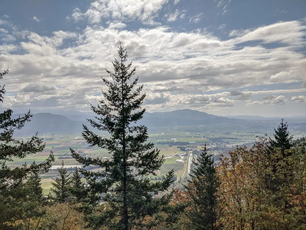
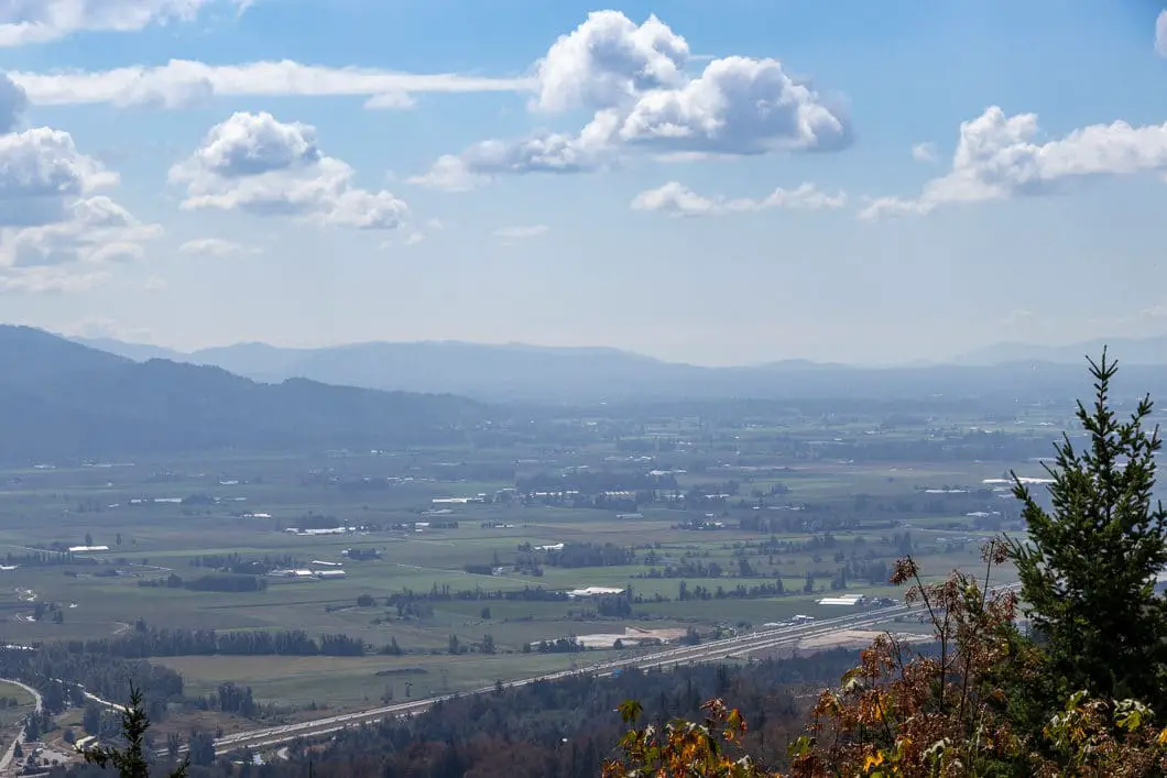
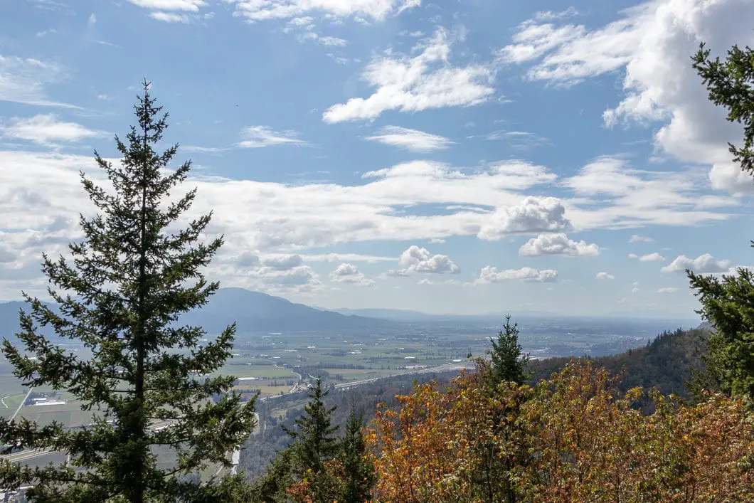
Aside from fitness, the trail is enjoyable and there is a rocky bluff with a nice lookout over the Fraser Valley at the top. The Abby Grind is a great spot to break up a long drive on Highway 1 with hike.
The Abby Grind Trail is the beginning portion of the Glen Ryder Trail, which continues on to the top of Taggart Peak.
Abby Grind Hike Stats
Rating: Moderate
Distance: 4 km
Net Elevation Change*: 405 m
Highest Point: 439 m
Time Needed: 1 Hour 30 Minutes
Type: Out-and-back
Season: Year-round
Dogs Allowed: Yes, on leash
Est. Driving Time from Vancouver: 1 Hour 30 Minutes
Trailhead Coordinates: 49.080568, -122.159866
*For a better understanding of the stats and difficulty rating, check out the Hiking Guides page for details. Always carry The Essentials and fill out a trip plan.
Abby Grind Video
Here is a 1-minute video of our experience on this hike!
Abby Grind Hike Map and Elevation
Abby-grind-traill
Profile
Abbotsford Grind Hiking Route
The trail begins by the large gravel parking lot just beyond the Abbotsford Fish & Game Club (directions). The trailhead is easy to find from the parking lot, where it heads up into the trees. Depending on the time of day, you’ll hear the loud gunshots from the shooting range as you begin the hike. The gunshots will fade away as you walk up the trail.
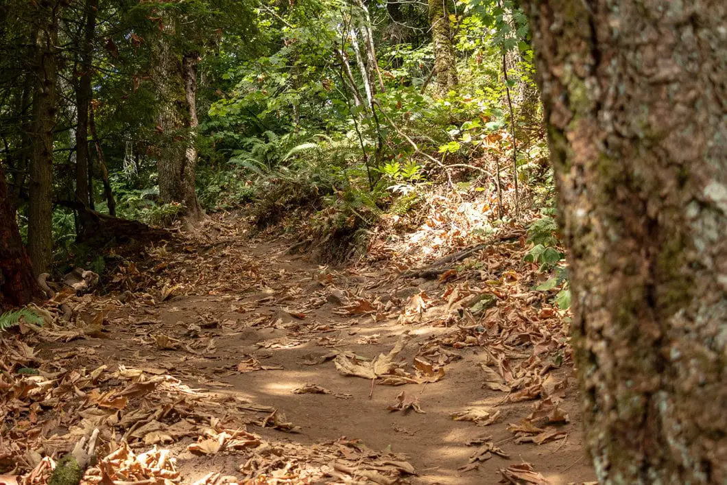
The trail begins climbing immediately and continues to climb at a steady rate. As you begin to hike up the dirt trail, there aren’t any trail markers but the route is clearly defined.
The trail is not overly difficult or covered with tree roots, but the steady uphill grade will quickly get your heart rate up.
As you climb, you will begin to see obstructed views through the trees, south towards the highway. The trail is mostly shaded by the trees but some sunlight will seep through on sunny days.
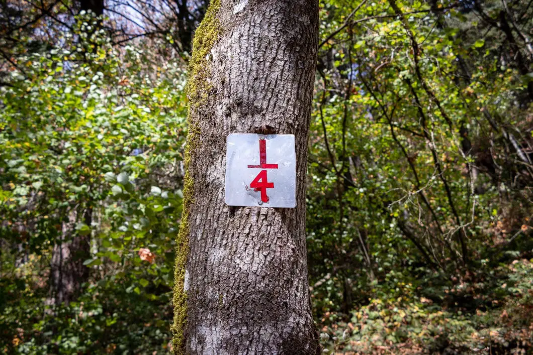
After about 10 minutes, or 400 m, you will come to the ¼ marker.
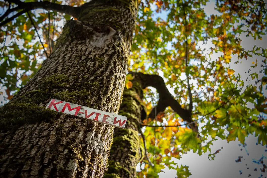
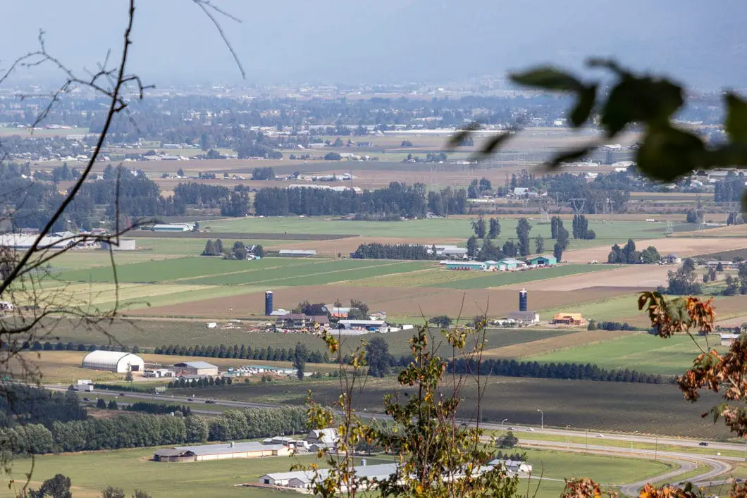
After about 20 minutes, you will come to a marker in a tree that reads ‘km-view’’. There is a clearing here with a nice view of the farmland and residential areas below.
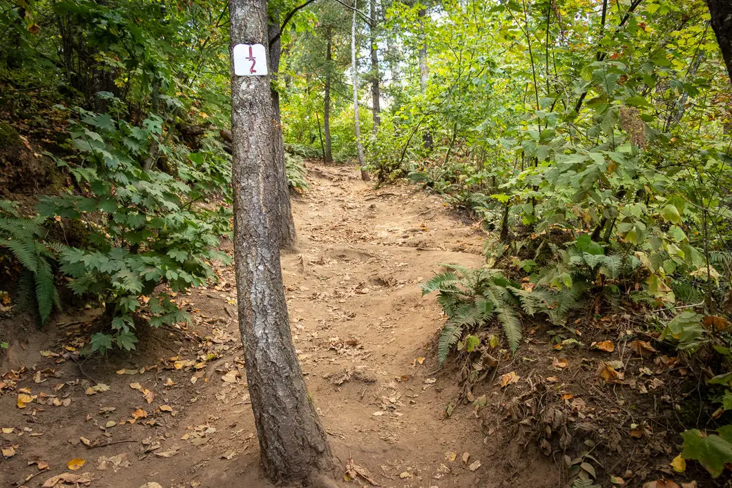
Just beyond the lookout, the trail climbs up sharply, and a tree in the middle of the trail is marked with the ½ marker. This is the steepest section of the hike.
At the top of this steep section, the trail keeps climbing, but at the previous, more gradual, grade.
The trail will turn west and there will be another steep section at about 1.3 km into the hike. The trail then levels out somewhat as it follows the highway west towards Vancouver.
After roughly 30 minutes you should hit the ¾ marker. There is a fork here, and you can go either way, as the trails join back together. The trail switches back and starts climbing up again.
From here, it’s just a matter of pushing up the final 400 m to the lookout.
From the summit you have a nice view of Abbotsford and its place in the Fraser Valley.
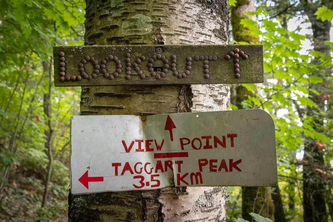
From the lookout area, the trail continues along the Glen Ryder Trail to the summit of Taggart Peak. Taggart Peak is a roughly 12 km, 6-hour hike (an additional 4 km one-way from the Abby Grind lookout), on a narrower, lesser-travelled trail.
Once you’ve enjoyed the views from the top of the Abby Grind (and your legs have recovered), turn around and retrace your steps back to the parking lot. The trail is steep, so bringing hiking poles may be helpful for the way down. If the dirt is dry, footing can be tricky on the steeper sections, so take your time on the way back.
Download the PDF version of this guide for offline use
Directions and Parking
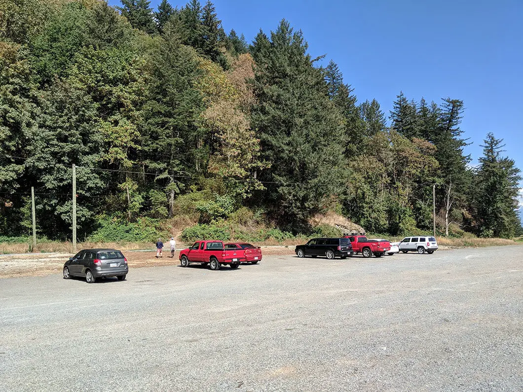
Take the Trans-Canada Hwy/BC-1 east, over the Port Mann Bridge. In Abbotsford, take exit 95 for Whatcom Road. Take the overpass over the highway and turn right on N Parallel Rd. N Parallel Rd will turn into Eldridge Rd. Turn right, back onto N Parallel Rd. Finally, turn left onto McDermott Rd and follow it to the large gravel parking area.
Google Map directions are here.
Other great hikes in this area
- Elk Mountain (easy)
- Cascade Falls (easy)
- Teapot Hill (moderate)
- View all hiking guides here


Mik
Hi there today is January 21st and as of right now due to the NOVEMEBER 2021 floods … there is no way to safety get to the Abby Grind due to the bridge being in the stages of a rebuild. Same with the Park… it was flooded so they are rebuilding that as well. It is officially closed until further notice. I live close and walk the area … they are always there working but it won’t be don’t untill late feb.
Karl W
Thanks for this update! I have added a notice to the top of this guide, and also added this to our trail closure notice page (https://www.outdoorvancouver.ca/vancouver-trail-closures/). Cheers.
Daryl Sturdy
The 1/4 etc. markers are not reliable information and the 45 minutes is more for people in good shape.