Alexander Falls Snowshoe – Table of Contents
- Hike Introduction
- Hike Statistics
- Map and Elevation
- Alexander Falls Video
- Hiking Route Description
- Directions and Parking
- Free PDF Download
- 360° Photosphere
Alexander Falls Hike Intro
Alexander Falls is a beautiful waterfall in Callaghan Country just a few kilometers south of Whistler. There is a viewing platform overlooking Alexander Falls along the road to the Whistler Olympic Park. In the summer, the viewing platform is a nice detour spot along a drive to or from Whistler.
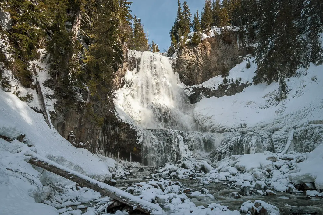
But in the winter, you can do one better than seeing the falls from the viewing platform. When Callaghan Country is operating during the winter months, you can snowshoe right to the base of the spectacular Alexander Falls for an up-close view.
If you’re lucky enough to time your trek during a cold snap, you may see Alexander Falls completely frozen, which is a remarkable sight. But frozen or not, a snowshoe trip to the falls always makes for a fun outing.
Alexander Falls is a cascade waterfall that plummets 52 meters over 6 separate steps.
Starting at the Callaghan Country base, you can take the Express Trail straight to the falls. Or, you can take a longer loop to enjoy more time snowshoeing through the beautiful forest. Taking the Express Trail, the snowshoe can be completed in about one hour. Doing the loop along the Alexander Falls Explorer Trail takes closer to two hours.
We recommend taking the longer, more scenic loop with the Finger Lakes / Alexander Falls Explorer Trails. The route description below describes this loop.
The trail is easy to navigate and shouldn’t pose too much of a problem for children or beginner snowshoers. The exception is one short, steep section just before Alexander Falls, where caution should be taken.
It is important to note that to snowshoe to Alexander Falls, you must pay admission to access the Callaghan Country terrain.
Besides the Alexander Falls Trail, there are other great snowshoe trails within Callaghan Country. Two popular trails are the Finger Lakes and Real Life trails. Admission also provides you joint-access to the snowshoe trails of the Whistler Olympic Park.
Callaghan Country is a popular place for cross-country skiing and is also home to the incredible Journeyman Lodge. We have reviewed both wintertime and summertime stays at the Journeyman Lodge before.
Please note: The trail is closed during the summer and the base of the falls cannot be accessed. In the summer you can view the falls from the viewing platform only.
Alexander Falls Snowshoe Stats
Rating: Easy
Distance: 2.5 km
Net Elevation Change*: 0 m
Highest Point: 820 m
Time Needed: 2 Hours
Type: Loop
Season: December – March
Dogs Allowed: Yes
Est. Driving Time from Vancouver: 90 Minutes
Trailhead Coordinates: 50.137288, -123.129339
Alexander Falls Video
Here is a 2-minute video of our experience on this hike!
Hike Map and Elevation
Alexander Falls
Profile
Alexander Falls Trail Route
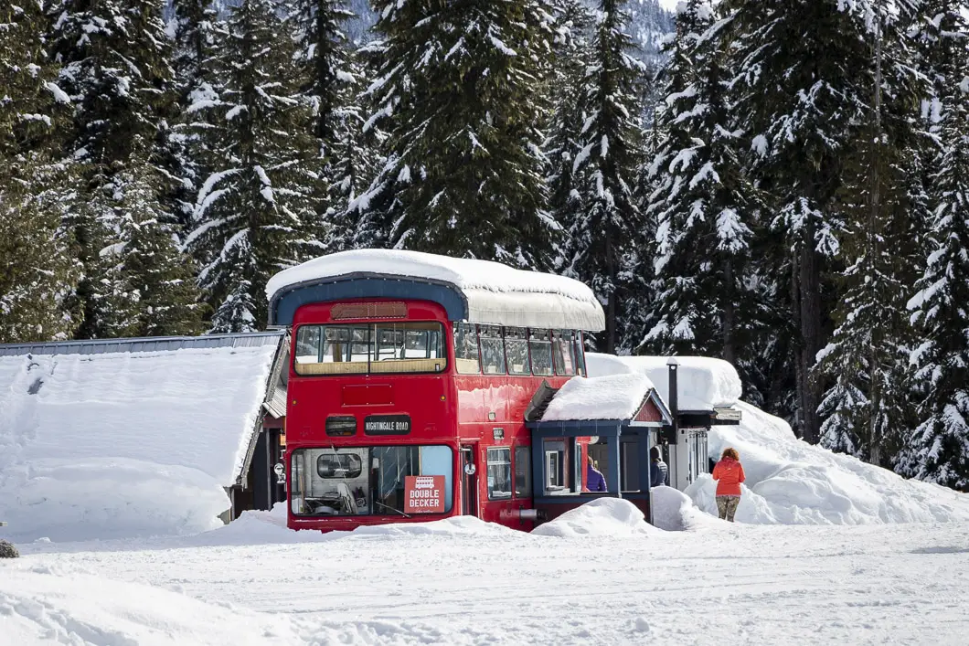
From the Callaghan Country basecamp, walk past the double-decker bus/ coffee shop. You will see the snowshoe trail access sign just behind it. The trail goes into the trees from the main junction. Then there will be a sign that says ‘Snowshoe Trails’.
You quickly come to a junction. The right is marked for the Real Life Trail, and the left is marked for the Express and Alexander Falls Explorer Trails. Go left.
The trail goes downhill and into the forest away from the main cross-country ski track.
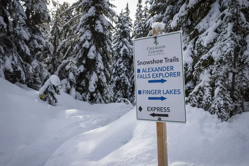
You’ll quickly come to another junction. Left is marked for the Express Trail. If you’re short on time go that way, to take the direct route to the falls.
If you have some time, stay to the right on the trail marked for the Finger Lakes Trail. This will take us to the Alexander Falls Explorer Trail.
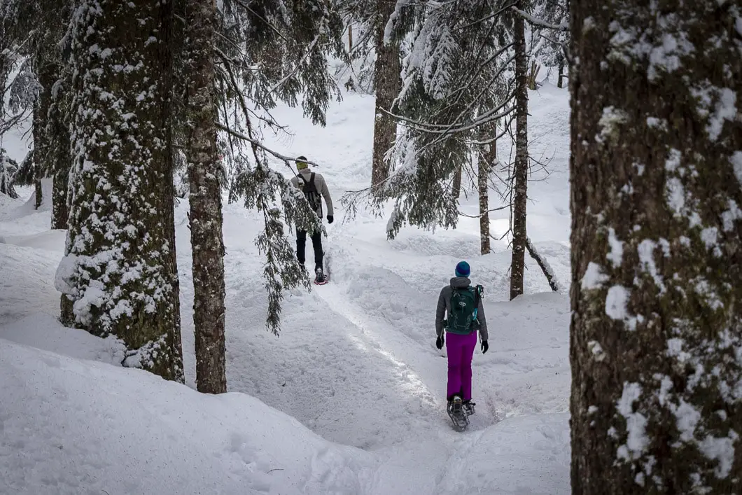
As you walk along the snowy path, there are yellow markers in the tree with an icon of snowshoes on them. The trail will undulate up and down.
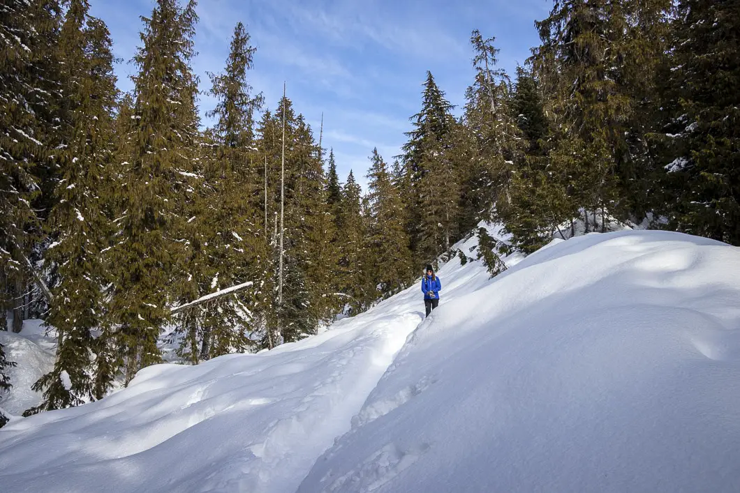
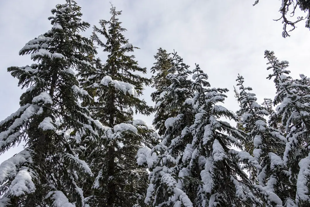
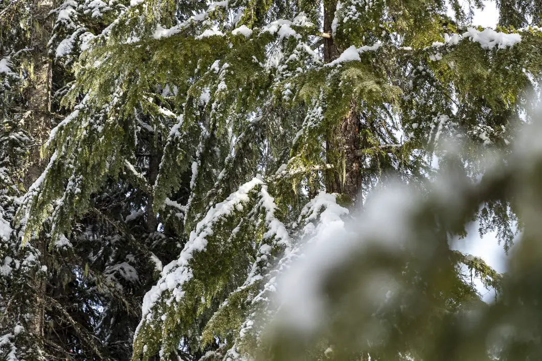
The trail continues to meander up, down and through the beautiful forest of Western Hemlock. In about ten minutes, you’ll come to the junction for the Alexander Falls Explorer Trail. Go left.
The trail drops downhill here. Quickly, you’ll come to a junction with orange flagging in the trees. Go left, following the orange flagging and onto the trail with the yellow snowshoe markers in the trees.
The trail continues to carry up and down but has a net downhill as you drop towards Madeley Creek. Depending on the amount of snow, you may see a small stream on the right, partially exposed.
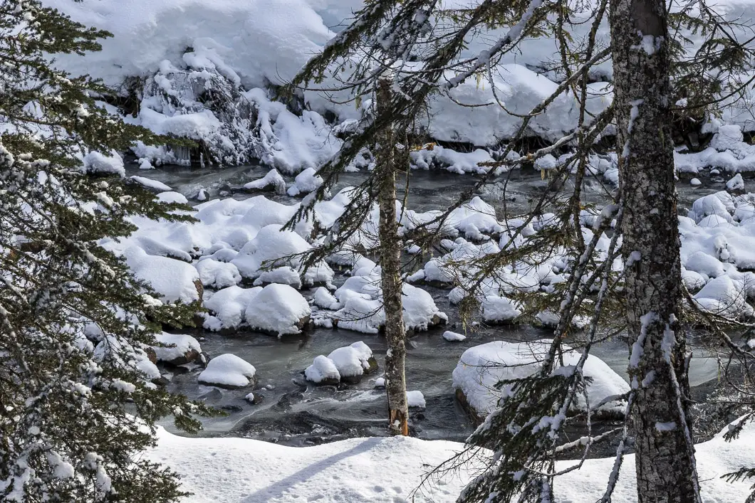
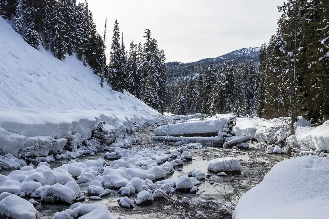
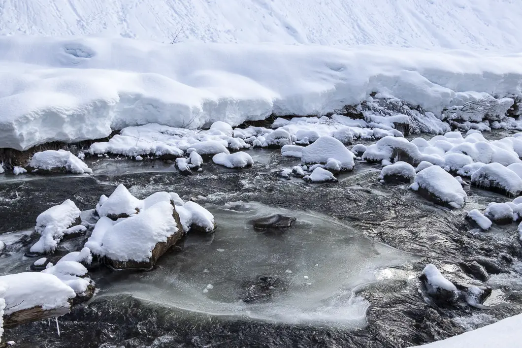
You’ll come out to a junction at the bottom of the Express Trail. Go right here and you’ll approach one final steep section to decline down the creek. Take your time on this short section of the trail.
When you drop down at the creek-level, you’ll go left. It’s just a two-minute walk to the base of the waterfall, and you’ll see it appear ahead of you as you round the corner.
Alexander Falls runs along the Madeley Creek which lies in the Squamish River watershed. It is 52 m tall and about 20 m wide at its widest point.
Cool fact: The falls are usually cited to drop 141 feet (43 meters), but upon surveying the falls in 2009 it was shown to be 173 feet (52 meters) tall. [source]
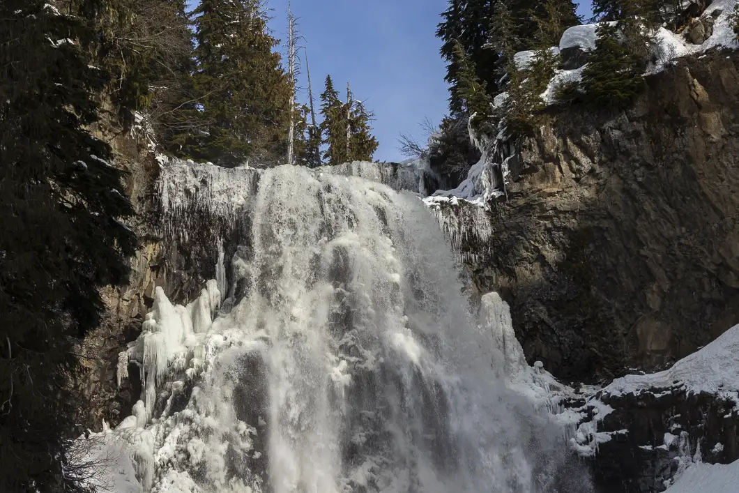
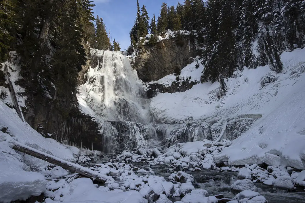
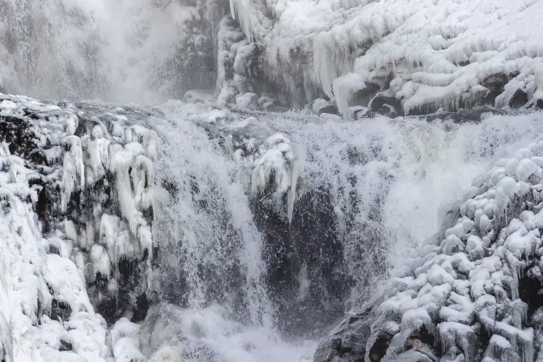
Enjoy the beautiful falls, before heading back up the trail. This time, as you reach the junction with the Alexander Falls Explorer Trail, stay straight. This allows you to short-cut straight up the Express Trail to the Callaghan Country Lodge. By doing this, the hike out will be quicker than the hike down.
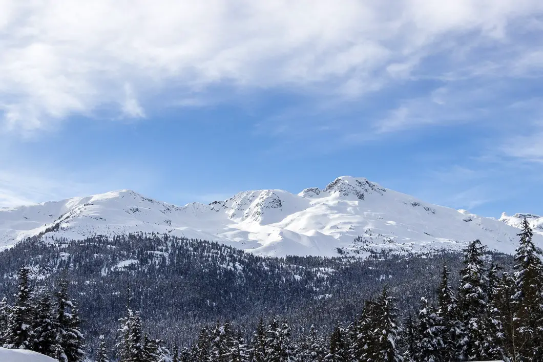
As you drive back out towards the Sea to Sky highway, there is a terrific view of the iconic Black Tusk ahead of you.
Download the PDF version of this guide for offline use
Directions and Parking
Take the Sea to Sky Highway (Hwy 99) north passed Squamish towards Whistler. Not too far beyond Brandywine Falls Provincial Park, there will be a turning lane to turn left onto Callaghan Road. Turn left and head up Callaghan Road.
The entrance is just after the Alexander Falls lookout. Just before a hairpin turn, you’ll see the bridge and entrance gate for Callaghan Country.
If you reach the Whistler Olympic Park, you’ve gone too far.
Google Map directions are here.
Other great snowshoe trails
- Elfin Lakes (difficult)
- Dog Mountain (easy)
- Mount Seymour (moderate)
- View all hiking guides here
The 14 Best Snowshoe Trails Around Vancouver
Click here to read our guide to snowshoeing in and around southwest B.C.


Jody Hendry
We did the trail yesterday. It was a beautiful day and great trail BUT not all junctions are well marked. We met up with 2 other groups that had previously done the trail and they were also on the wrong trail (out to Finger Lakes). One group phoned the lodge and they were not very helpful stating they didn’t like to put up too many signs as they like to keep the wilderness look. We turned back met up with another group and they very nicely got us in the right direction. Turns out the map they handed out did not have the snowshoe trails marked on it. Still it was a beautiful day well worth the drive and the falls were spectacular! Thanks for introducing us to Alexander Falls.