Al’s Habrich Ridge – Table of Contents
- Hike Introduction
- Hike Statistics
- Map and Elevation
- Al’s Habrich Ridge Video
- Hiking Route Description
- Directions and Parking
- Free PDF Download
- 360° Photosphere
Al’s Habrich Ridge Hike Intro
With the opening of the Sea to Sky Gondola in 2014, came the opening of some new hiking trails. There is no hike more popular at the top of the gondola, than Al’s Habrich Ridge. While a mouthful to say, Al’s Habrich Ridge is stunning and worth the journey up the gondola.
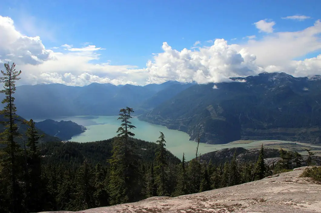
The hike to Al’s Habrich Ridge takes you through a pleasant forest up to the ridge which sits below the summit of Mount Habrich. From the ridge, you have an expansive view of Howe Sound, The Stawamus Chief, Sky Pilot Mountain and the Tantalus Range. From the ridge viewpoint, the trail pushes along further to reach the Neverland Lake. There is also an extended version of the hike called Neverland Loop. The Neverland Loop Trail adds an extra hour to the route described here and takes you to a small waterfall.
As of 2016, an adult ticket for the gondola is $38, or $10 for a download-only ticket. If you want to hike up, you can take the Sea to Summit Trail. It is possible to hike both the Sea to Summit Trail and Al’s Habrich Trail in the same day, but that will make for a long day of hiking.
The extra perk of this hike is the amenities at the Sea to Sky Gondola lodge. After your hike is over you can enjoy a drink and some food on a beautiful patio, before downloading back down to the parking lot.
Al’s Habrich Ridge Hike Stats
Rating: Moderate
Distance: 7 km
Net Elevation Change*: 350 m
Highest Point: 1,220 m
Time Needed: 4 – 5 Hours
Type: Out-and-back
Season: July – October
Dogs Allowed: No
Est. Driving Time from Vancouver: 1 Hour
Trailhead Coordinates: 49.670513, -123.126296
*For a better understanding of the stats and difficulty rating, check out the Hiking Guides page for details. Always carry The Essentials and fill out a trip plan.
Al’s Habrich Ridge Video
Here is a 2-minute video of our experience on this hike!
Al’s Habrich Ridge Hike Map and Elevation
Al's Habrich Ridge
Profile
Al’s Habrich Ridge Hiking Route
Before starting your hike, make sure you’ve noted the time of the final gondola run. You don’t want to be stuck at the top after your hike!
From the top of the Sea to Sky Gondola, walk down the platform towards the large map of the area. From the map, you’ll find a sign for the Wonderland Loop. Follow that direction down a wide gravel road (Backcountry Access Road). At the bottom of the hill, there will be a sign marked for Al’s Habrich Trail. You will pass by a water reservoir on your left. Go up the hill, and on your left, you will see a marker for Al’s Habrich Trail going into the trees.
The singletrack trail starts here by tucking into the trees. Following the trail from here is fairly straightforward, and there will be markers in the trees along the route. There is some pink flagging and every so often there are official ‘Al’s Habrich Trail’ markers . They are large, diamond-shaped markers. Each of the markers are numbered and will end at #44 at Neverland Lake.
The trail rolls up and down but remains more or less level. After a few hundred meters there is a large rock wall on your right. To your left, a partial view of Squamish will open up.
There will be some wooden steps on this section of trail as the trail winds along through the trees.
Roughly 600 m into the hike there’s a creek crossing with a rope to help you across. Although, later in the summer Oleson Creek will be dry and the rope won’t be needed.
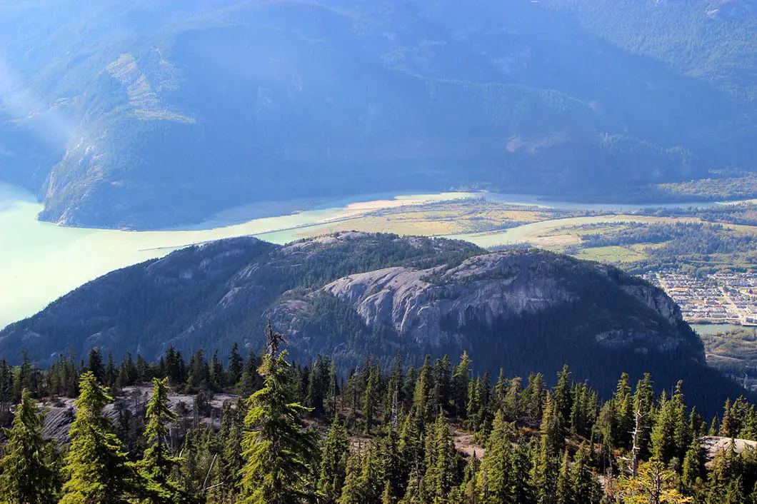
From the creek, the trail begins to climb up but remains easy to follow. About 1 km in, you can find a small bluff just off the trail overlooking Howe Sound the 3 peaks of The Chief down to your right.

Shortly after, there are a few steep sections with ropes to help you scramble up the trail. You will come out onto an exposed ridge and the upward climb continues. There aren’t many markers as you scramble up this section of rock, but if you look carefully you will see some pink tape or cairns along the way. Just keep climbing up and up the granite outcropping.
2 km along the hike you will start to descend. At the bottom of the descent on the other side of the ridge, the trail ducks back into the trees to your right. There is a trail marking and some ribbon at this spot – which might be hard to find at first. Once you’ve found the trail, it goes back into the trees and drops down a bit.
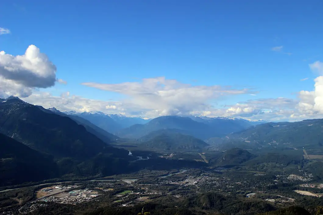
Follow the trail through the trees and around 2.8 km there’s a junction for Yuko’s Pond. You are nearing the beautiful view at Al’s Habrich Ridge. Stay right at that junction and you’ll soon emerge at the ‘summit’. There are two main viewpoints. One is a steep scramble up the exposed rock just off to your right. This area provides a slightly better view as you can see all the way up the Squamish Valley. You will also get a spectacular view of the Sea to Sky Gondola lodge, The Stawamus Chief, Sky Pilot mountain and Howe Sound. To the north, you can see Mount Garibaldi and Garibaldi Provincial Park. Enjoy the view and have a snack before carrying along the trail towards Neverland Lake.
Carefully scrambling back down, the main trail carries along to the south. There is another expansive bluff with the same incredible view. You can stop here if you want, but the full hike of Al’s Habrich Ridge Trail requires another kilometer to reach Neverland Lake.

The trail continues to the south along the ridge and will tuck back into the trees. There is an Al’s Habrich Ridge Trail marker in the tree where the trail continues.
Picking up the trail and going into the forest, you will cross over a small creek. Keep following the trail.
Before too long, there will be a junction on your left for Neverland Loop and the Neverland Falls. You can do a 30-minute detour if you wish to see the waterfall, but, it isn’t the most scenic waterfall around. In the summer it might not be much more than a trickle. Or, if you want to do the full loop be sure to add at least an hour to your estimated time for this hike.
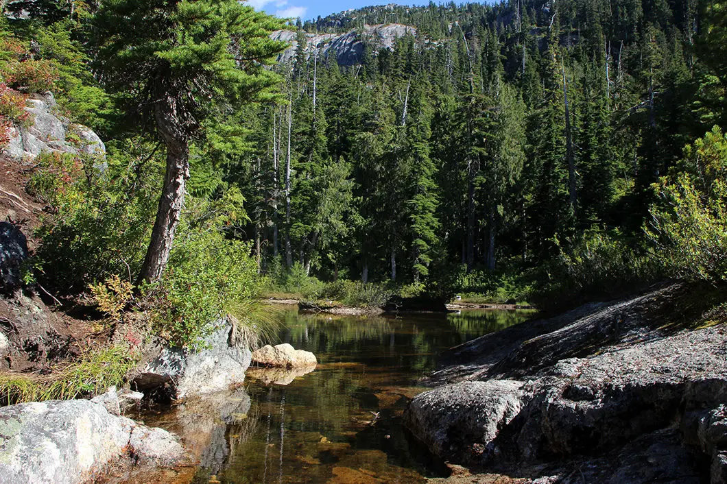
Staying right at the Neverland Loop junction, the trail will continue a few hundred meters more to Neverland ‘Lake’. While it isn’t much larger than a pond, the lake is actually quite scenic. There is a neat drop off the back side of the lake. You can cross over the stream on the end of the lake and follow the trail up the other side to another little bluff with a great view. The view is the same as from the main lookout at Al’s Habrich Ridge.
After enjoying the lake retrace your route back to the gondola. If you want, you can enjoy a beverage at the gondola before heading back down to the parking lot.
Download the PDF version of this guide for offline use

Directions and Parking
Take Highway #99 heading north past Horseshoe Bay towards Squamish. As you near Squamish, watch for the signs for Shannon Falls and the Sea to Sky Gondola (they’re hard to miss), and simply pull into the lot right off the highway.
Parking: There is parking at the base of the Gondola, although sometimes it fills up. There is long term parking at Darrell Bay (to the south across the highway from Shannon Falls) and Chances Casino (to the north), and a shuttle operates for these lots on weekends and holidays.
You can also park at the parking lot for the Stawamus Chief Provincial Park, or at the parking lot for Shannon Falls (recommended if you can find a spot).
Google Map directions are here.
Other great hikes in this area
- Sea to Summit Trail (moderate)
- The Stawamus Chief (moderate)
- Upper Shannon Falls (moderate)
- View all hiking guides here


Bev
I am disappointed you have not informed your readers of the extended hike to the upper ridge on the informal trail. It deserves more usage.