Ammonite Falls – Table of Contents
- Hike Introduction
- Hike Statistics
- Map and Elevation
- Ammonite Falls Video
- Hiking Route Description
- Directions and Parking
- Hike rating
- Free PDF Download
Ammonite Falls Hike Intro
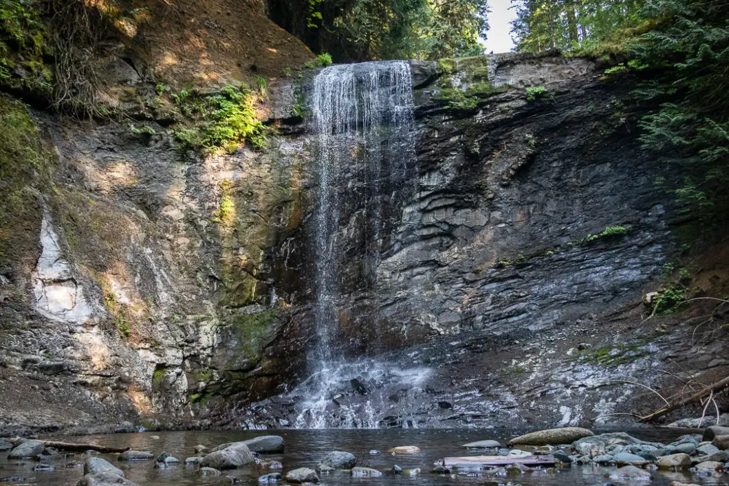
Ammonite Falls is an easy-to-moderately difficult hike near Nanaimo. The waterfall itself lies within Benson Creek Falls Regional Park, though the hike starts outside the park boundaries.
Most of the trail is easy to follow and has minimal elevation change. But the final section of trail to the waterfall is steep and can be difficult, though there are ropes in place to assist.
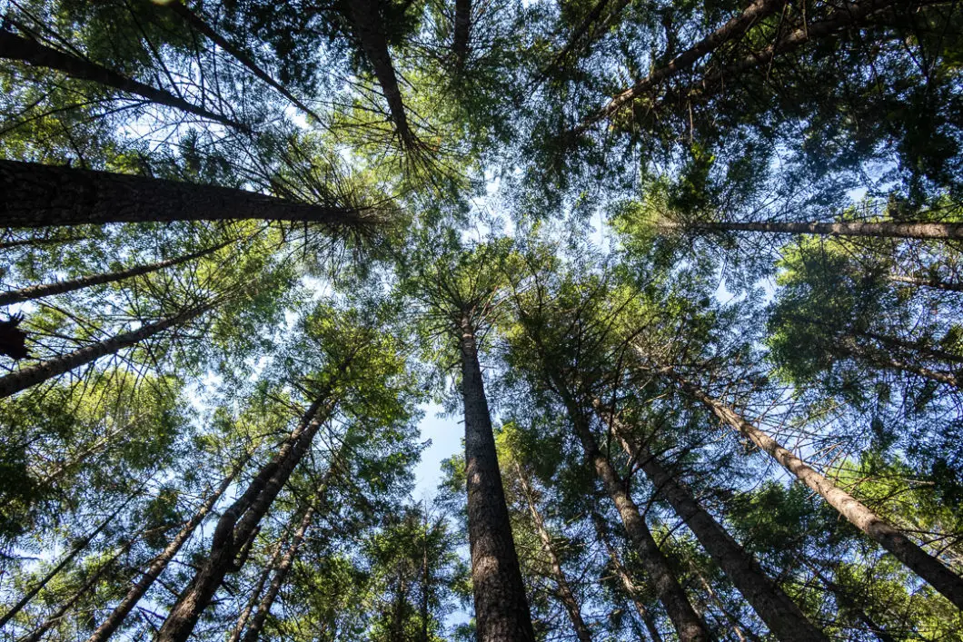
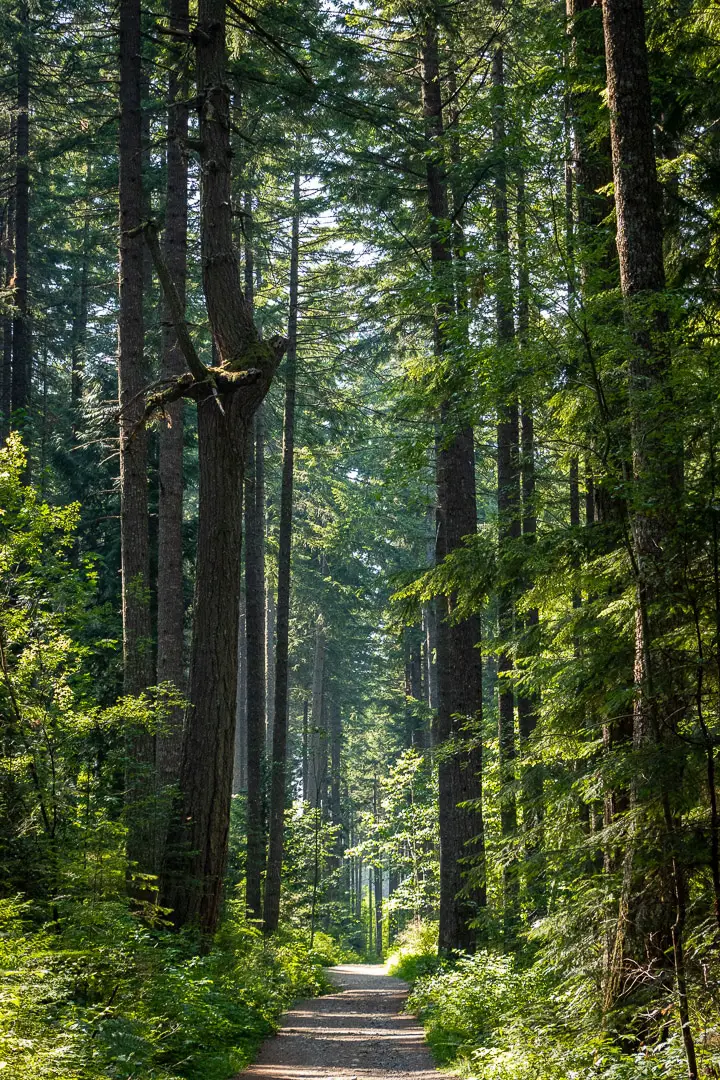
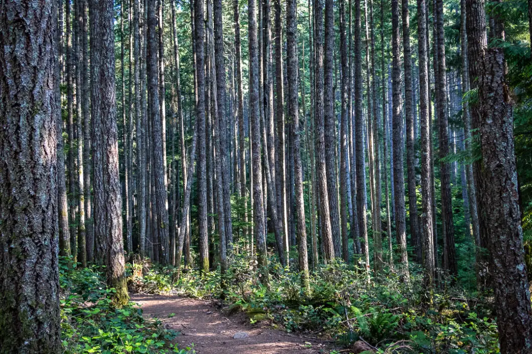
Along the hike the Ammonite Falls, you can enjoy the beautiful forest of massive fir trees. Unfortunately, you also walk through a large area of clear-cutting on the way to the falls.
If you are thinking of hiking to Ammonite Falls, you may want to plan your timing. In the summer, the falls may be little more than a trickle. During the spring runoff, or after a period of heavy rain, is the best time to go to see the waterfall in full effect. However, these times are also when the trail tends to be muddiest, so be prepared for that as well.
Ammonite Falls Hike Stats
Rating: Moderate
Distance: 5 km
Net Elevation Change*: 30 m
Highest Point: 265 m
Time Needed: 2 Hours
Type: Out-and-back
Season: Year-round
Dogs Allowed: Yes
Est. Driving Time from Vancouver: 3 Hours
Trailhead Coordinates: 49.179920, -124.063701
*For a better understanding of the stats and difficulty rating, check out the Hiking Guides page for details. Always carry The Essentials and fill out a trip plan.
Ammonite Falls Video
Here is a 2-minute video of our experience on this hike!
Ammonite Falls Hike Map and Elevation (one-way)
Ammonite Falls (one-way)
Profile
Ammonite Falls Hiking Route
The Ammonite Falls Trail starts two minutes up the road from the gravel parking lot (directions). There is a sign in the parking lot with information about the trail.
Leaving the parking lot, you will walk up the road to the intersection and turn right.
You will see a forest service road and a “No parking / Private road” sign. Follow the gravel road past the private driveway. Keep going straight and after about 200 meters, you’ll come to a yellow gate. Walk past the yellow gate.
You will still be on the gravel road but soon entering into the forest. You’ll walk by birch trees and see a signpost on your right which reads “Recreational trail. Welcome to Ammonite Falls Regional Trail. Follow the orange trail markers directing you to Benson Creek Falls Regional Park. Please note that the numbers do not represent a measure of distance”.
You will see the mentioned orange markers in the trees which are numbered.
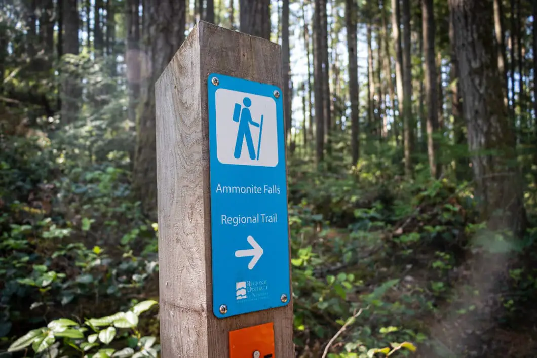
After about 650 meters, you will come to a large Y junction. The trail splits and the road on the left goes up hill. Stay to the right on the lower road. You’ll soon see a sign with another split onto a single track trail which is marked for Ammonite Falls Regional Trail.
Go right, and the trail will drop down sharply for about 100 m. The trail then levels out and enters into a section of heavily forested trail.
Soon you will start to see some of the logging that has taken place in the area.
There’s a junction 900 meters from the falls with the Ammonite Falls Regional Trail. Go left at the junction, which is marked by trail marker #16.
Cross the road, and on your left, you’ll see a trail marker where the trail continues. Follow the trail a short distance until you see another junction and trail sign for Ammonite Falls Regional Trail. Go left again.
Carry on for 500 meters proceeding on a wide stretch of trail. The trail is well maintained and easy to follow but has some tree roots. As you carry along the trail there are patches of deforested land on either side of you.
You will come to trail marker #25 and you find a small trail off to your left. Go right. There’s a sign here that says ‘Mid Falls Regional Trail’. The trail is still wide and well-maintained, but rooty and rocky in sections.
From here, the trail carries up and down alongside some arbutus trees, with an overall net downhill grade.
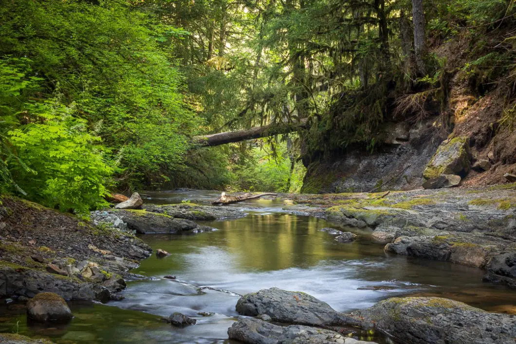
Soon, you’ll hear Benson Creek rushing off to your left and you’ll be able to catch a glimpse of it down through the trees.
To find the final junction, you’ll want to pay attention. Look out for trail marker #31 in a tree. From there, the trail splits down and to the left for the final push to Ammonite Falls.
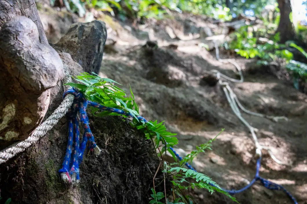
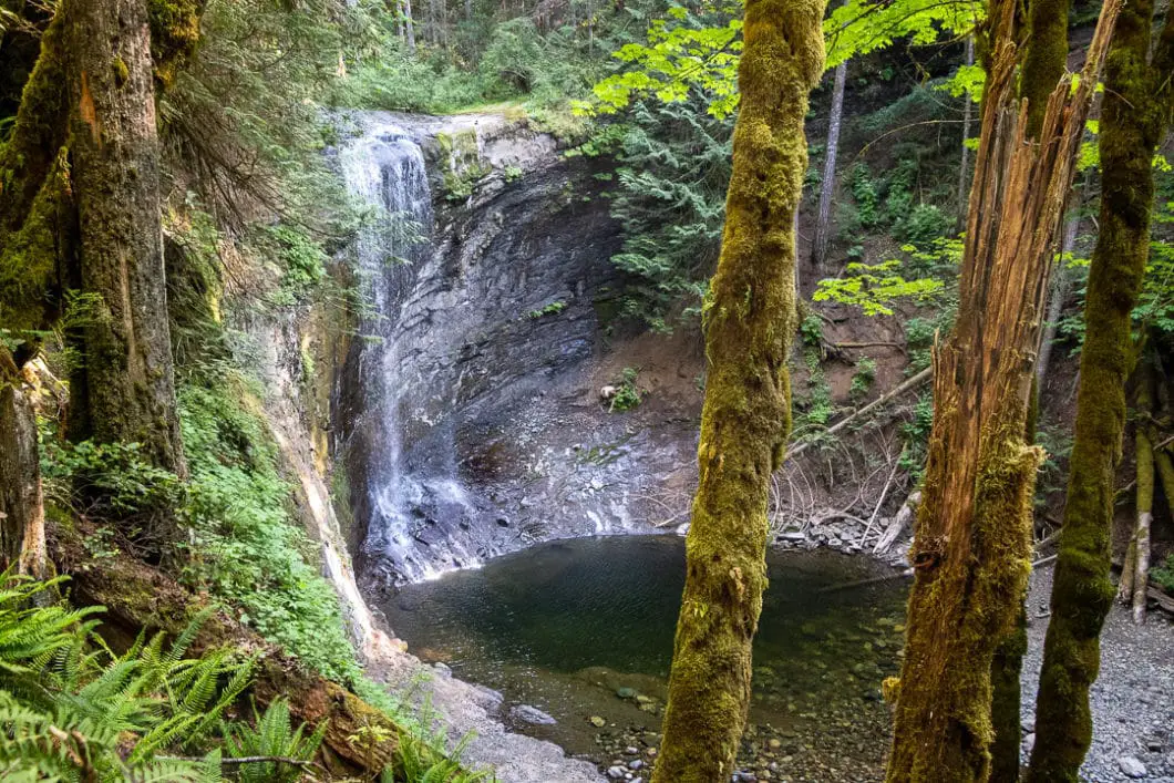
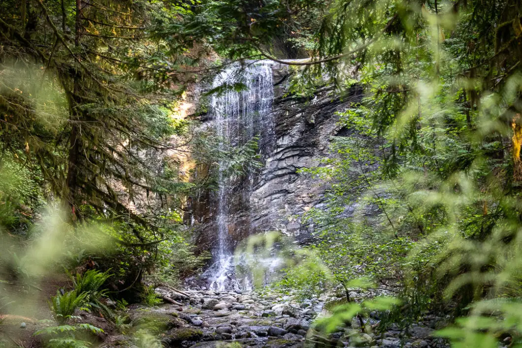
Follow the trail a few more minutes and then you will come to the final, steep, descent down to the falls. There’s a fence near the upper falls where you can peer down into the canyon. There is also a rope to assist your climb down into the canyon. Carefully climb down to the base of the falls. The climb down can be slippery in both wet and dry conditions.
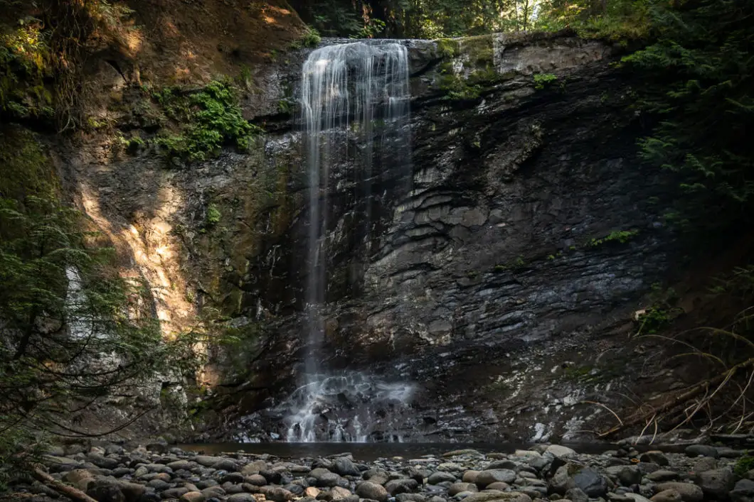
Cool fact: “Ammonite Falls is named for the fossils that inhabit the stack of sedimentary layers of rock kept slick by the falls.” [Source ]
You can walk right up to the pool of water at the base of Ammonite Falls and enjoy the spectacular view.
Enjoy the falls, take a dip in the water if you wish, and then return the way you came in when ready.
Download the PDF version of this guide for offline use
Directions and Parking
The trailhead for Ammonite Falls can be reached within 20 minutes from Nanaimo.
From Highway #19 (Nanaimo Parkway) turn onto Jingle Pot Road. Follow Jingle Pot Road for several kilometers and turn onto Kilpatrick Road. Follow Kilpatrick a short way, then turn right onto Jameson Road.
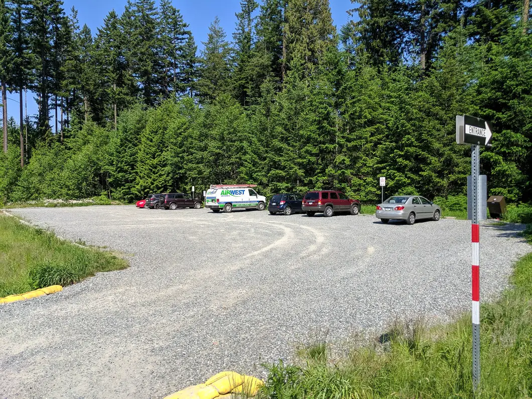
Follow Jameson Road for 2.4 km. As you come to the end of Jameson, turn right onto Creekside Place. 100 m down the road, on your right, will be a large gravel parking lot. This is the parking for the Ammonite Falls Trail.
Do not park on the forest service road with the yellow gate or you may get towed.
Google Map directions are here.
Other similar hikes
- Brandywine Falls (moderate)
- Lady Falls (easy)
- Goldstream Trestle (moderate)
- View all hiking guides here


Heather
Hello Karl,this info is out of date. No longer a rope or slippery, there’s a huge staircase down to the pool area.
Wendy
Thank you, Karl, for the detailed hike information. By the way, how many hours to complete the trial ?
Thanks.
Wendy
Karl W
Hi Wendy,
The hike takes about 2-3 hours on average.
Cheers,
Karl
Shondra
Can you swim at the bottom of the falls? Is it pretty deep??
Karl W
It’s quite shallow. I’ve only been the once but I think in the summer it can run almost dry.
Sandi
Thanks for all the info. Is the bridge completed yet, and is the trail open? I’ve read comments on AllTrails that it’s still not hikeable.
Karl W
Hi Sandi. I haven’t been in a few years so I don’t know offhand, but from what I read online it sounds like the new stairs/ viewing platform are complete, and the trail is open!