BCMC Trail – Table of Contents
- Hike Introduction
- Hike Statistics
- Map and Elevation
- BCMC Video
- Hiking Route Description
- Directions and Parking
- Free PDF Download
BCMC Trail Hike Intro
The BCMC Trail is an alternative trail to the popular Grouse Grind. The BCMC Trail runs parallel to the Grouse Grind and takes you from the Grouse Mountain parking lot up to the Grouse Mountain lodge.
The trail is slightly less steep than the Grouse Grind, but a little bit longer. Overall, they are comparable in difficulty and time needed to complete.
As the trail is so steep, there is a wide variance in the estimated completion time. Some can complete the hike in 45 minutes or less, and it may take others over 2 hours.
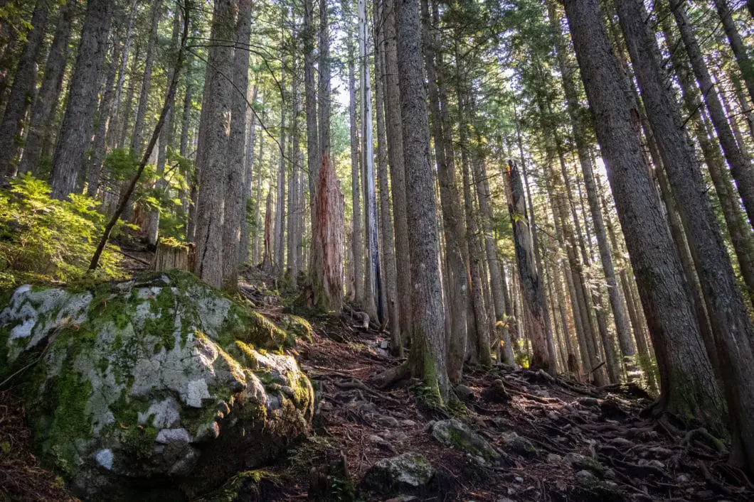
The BCMC Trail is a nice alternative to the Grouse Grind because it is less crowded. Unlike the Grouse Grind, the trail doesn’t have stairs, which makes it feel more like a hike. The trail is rough and rugged.
The trail is primarily used for fitness and exercise. There are no scenic viewpoints along the trail until you reach the Grouse Mountain chalet. However, the climb up through the thick forest is scenic in itself.
BCMC Trail Hike Stats (one-way)
Rating: Difficult
Distance: 3 km
Net Elevation Change*: 798 m
Highest Point: 1,092 m
Time Needed: 1.5 Hours
Type: Point-to-point
Season: May – October
Dogs Allowed: No
Est. Driving Time from Vancouver: 30 Minutes
Trailhead Coordinates: 49.371239, -123.098348
*For a better understanding of the stats and difficulty rating, check out the Hiking Guides page for details. Always carry The Essentials and fill out a trip plan.
BCMC Trail Video
Here is a 5-minute video of our experience on this hike!
BCMC Trail Hike Map and Elevation
BCMC Trail
Profile
BCMC Hiking Route
The BCMC Trail begins at the same starting point as the Grouse Grind Trail, near the Grouse Mountain parking lot.
As you walk through the fence at the trailhead, you immediately come to a junction. Left is the Grouse Grind, and right is marked for the BCMC and Baden-Powell trails. Go right.
After a few minutes you will pass another junction. Stay to the right. The trail climbs up gently and passes over a creekbed.
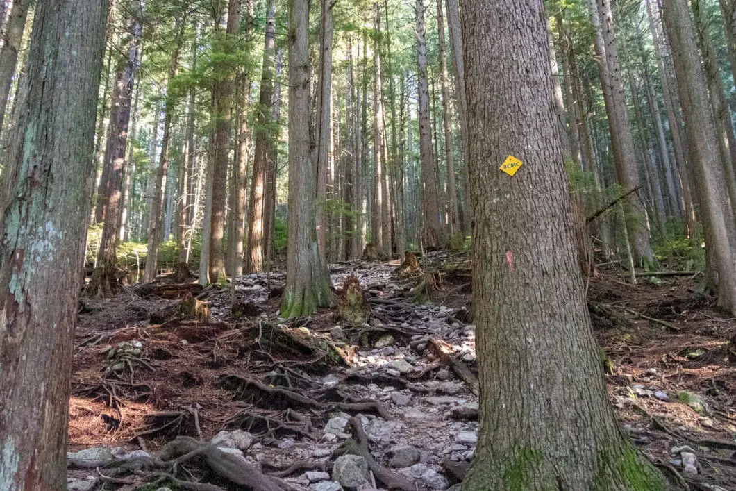
Within 10 minutes of starting the hike, you will come to a junction that is marked for the BCMC trail with several signs. There are orange and yellow diamond-shaped markers in the trees up the hill. Turn left, heading uphill, onto the BCMC Trail.
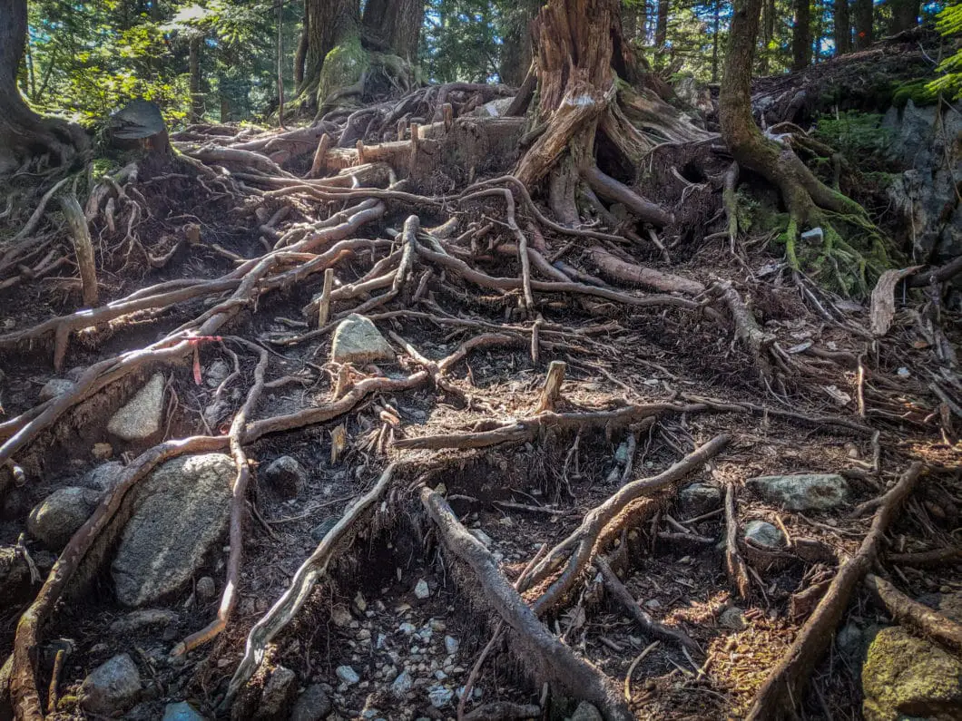
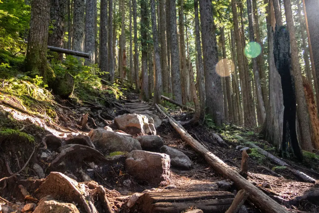
The trail will begin to climb uphill more steeply from here. The bottom portion of the BCMC Trail is quite rocky, and footing can be difficult.
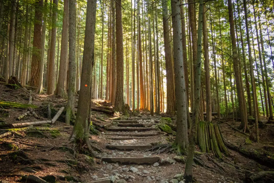
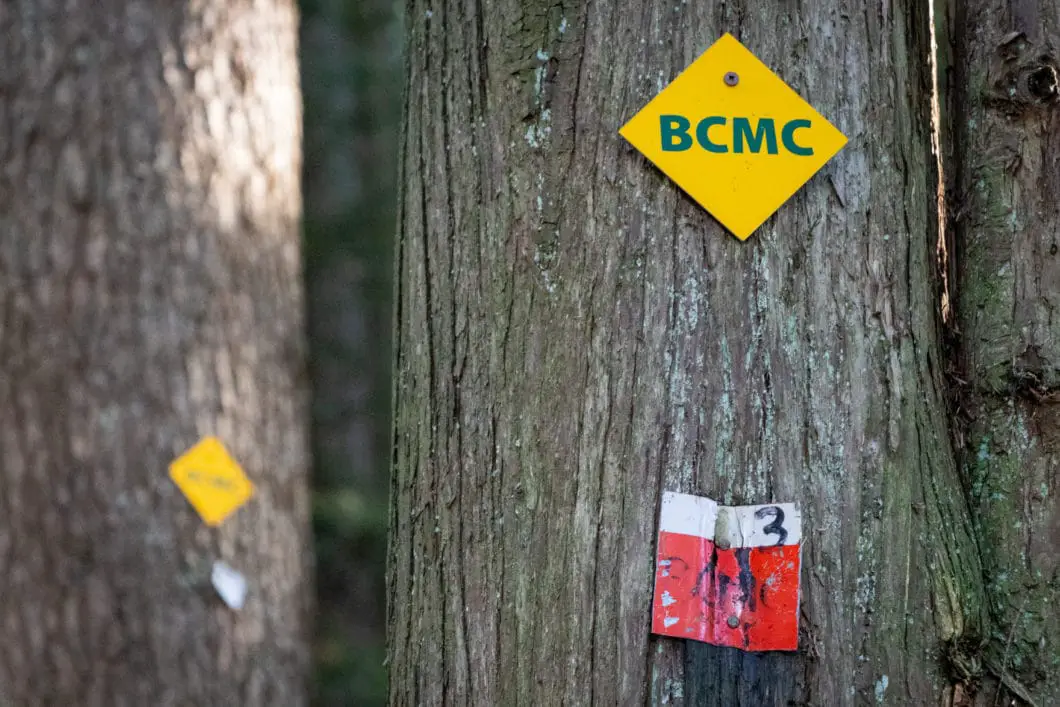
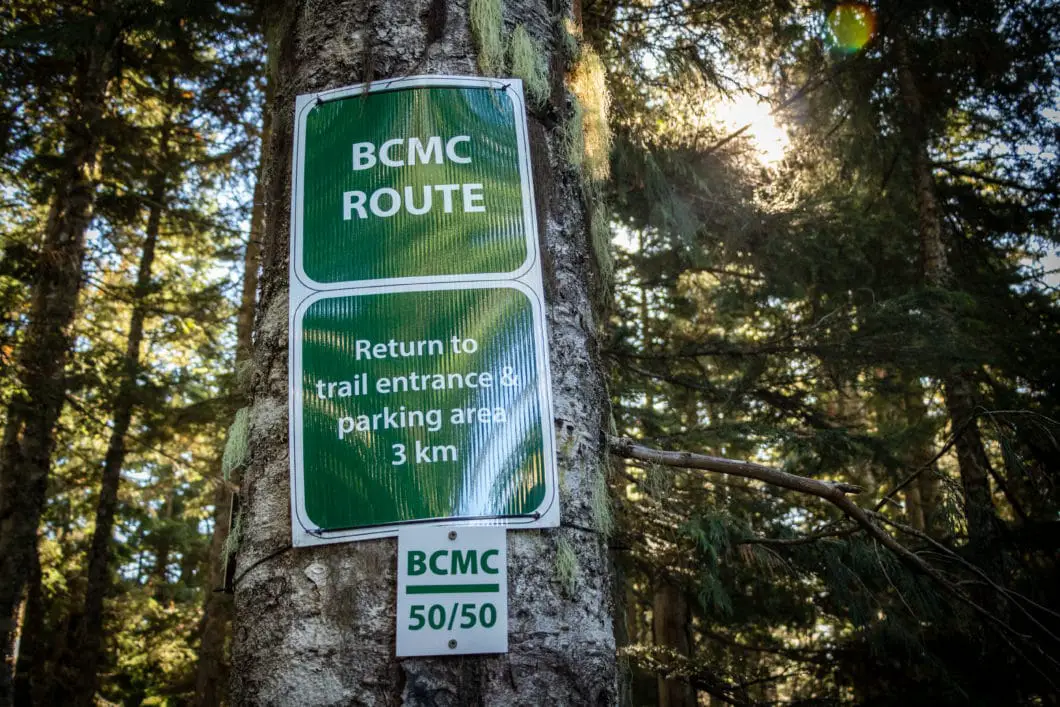
As you climb up the BCMC Trail, there are (in addition to the small, diamond markers) 50 large, white markers, which are numbered 1 to 50. As you climb up the BCMC Trail, you can track your progress against these numbered markers.
It should be easy to stay on track if you are following the markers, but sometimes you can veer off the main trail if you don’t pay careful attention.
The trail climbs up sharply over a series of short switchbacks, with plenty of tree roots and rocks to keep you on your toes.
As you reach trail marker #11/50, you will be able to find the access point to the Flint and Feather Trail, which runs between the Grouse Grind and BCMC Trails.
Keep grinding up the trail, and you will reach marker #25/50, marking the roughly halfway point. The markers are not perfectly spaced from top to bottom, and you’re a little over halfway.
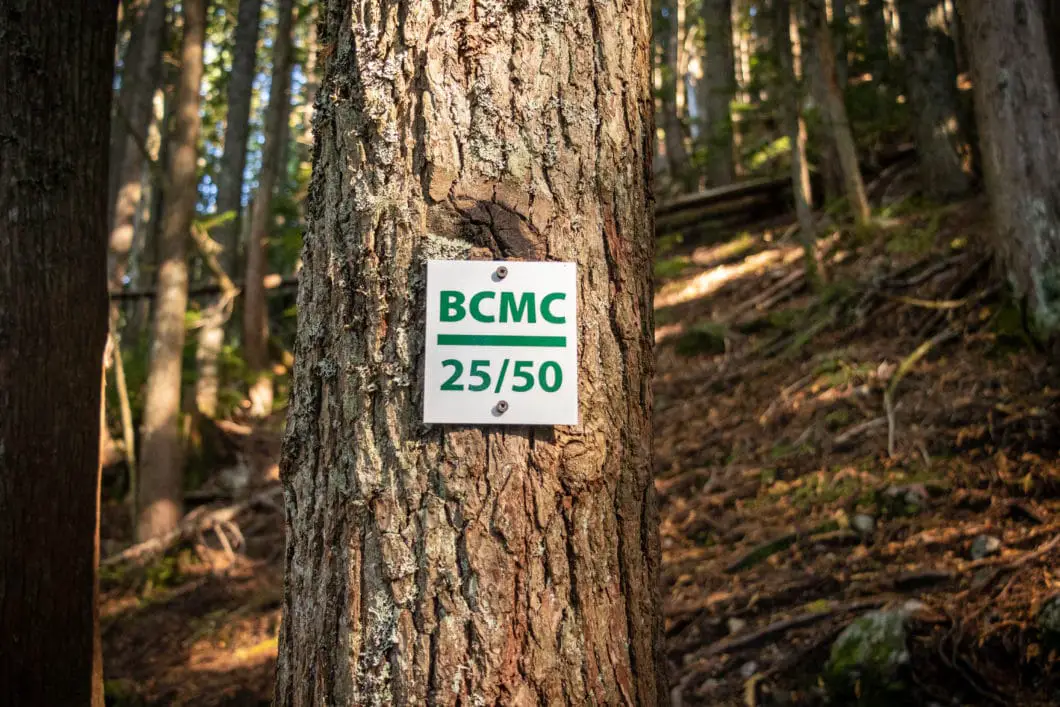
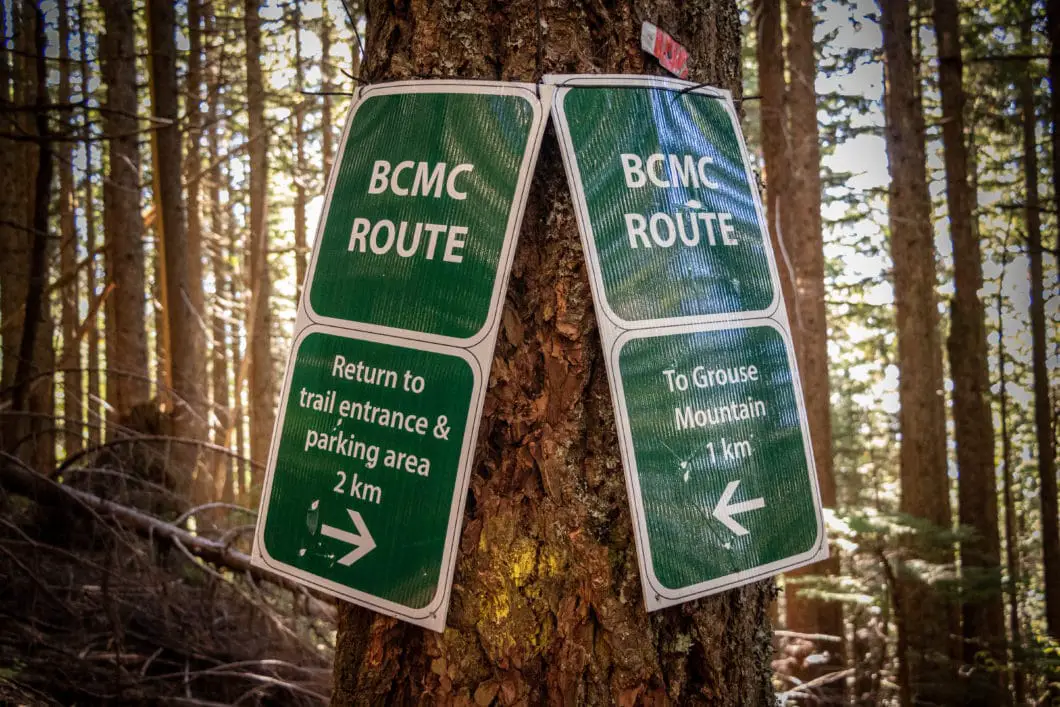
Shortly after marker #25, you will come to a large green sign, which reads 1 km remaining to reach Grouse Mountain, or 2 km to head back to the parking lot.
Shortly after, you will see another marker that places the distance at 900 meters to the top.
Cool fact: Built in the early 1900s, “[t]he BCMC trail on Grouse Mtn. is a legacy of the various trails the [British Columbia Mountaineering Club] built on Grouse to access its cabins and the upper slopes.” [source]
From this point, the trail starts to level out a bit, giving you a break from the steep incline. The final 15 minutes of the hike are much less steep than the lower portion of the trail, as you get into the old growth.
Download the PDF version of this guide for offline use
Keep following the trail, enjoying the final push until you reach a doubletrack, gravel trail. Go left onto the trail and walk out the final few minutes. You will emerge just east of the top of the Grouse Grind Trail and the Grouse Mountain Chalet.
You can take a break at the Grouse Mountain chalet, and catch the gondola down (for a fee, tickets purchased in the lodge) or hike back down the BCMC. But, down-hiking the BCMC can be hard on the legs and knees.
Please note, down-hiking the Grouse Grind Trail is not permitted due to the heavy amount of upwards hikers.
If you want to make a full day of hiking, Dam Mountain, Crown Mountain, Goat Mountain, and Hanes Valley are all accessible from the top of Grouse Mountain.
Directions and Parking
From the Upper Levels Highway (HWY #1), take exit #14, heading north onto Capilano Road. Capilano Road will turn into Nancy Green Way. Follow Nancy Green Way to the end, where it reaches the Grouse Mountain parking lot.
The Grouse Mountain parking is all pay parking. There is some limited free parking on the right-hand side of the road as you approach the parking lot.
Google Map directions are here.
Other great hikes in this area
- Flint and Feather Trail (difficult)
- Grouse Grind (difficult)
- Dam Mountain (moderate)
- View all hiking guides here


Yesnospin
I really enjoyed this BCMC Trail Hike in North Vancouver! The views were amazing and the hike was very challenging. I would definitely recommend this hike to anyone looking for a great outdoor experience!
Daryl Sturdy
Thanks for all the info. There are stairs on the BCMC.