Belcarra Bluffs – Table of Contents
- Hike Introduction
- Hike Statistics
- Belcarra Bluffs Video
- Map and Elevation
- Hiking Route Description
- Directions and Parking
- Free PDF Download
- 360° Photosphere
Belcarra Bluffs Hike Intro
Belcarra Bluffs is a moderately challenging hike in Belcarra Regional Park. The trail typically sees less traffic than other hikes in the park such as Jug Island and Admiralty Point. Comparatively, the Belcarra Bluffs Trail is more difficult and has more elevation gain than those hikes as well.
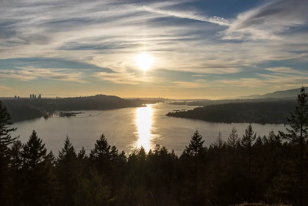
The Belcarra Bluffs lookout offers exceptional views to the west. Capitol Hill in Burnaby, the Burrard Inlet, the North Shore, and downtown Vancouver, can all be prominently seen.
The Belcarra Bluffs hike can be done as an out-and-back, or as a loop connecting with the Admiralty Point Trail. Completing the hike as a loop doesn’t take significantly longer, so we recommend doing the loop if you have the time and energy.
It is important to note the trail is rugged in sections, and there are many interconnecting, unmarked trails. As such, navigating to the lookout can be difficult, and you should be prepared to find your way without marked trails. Leave yourself extra time on this hike. We recommend this hike only for those with adequate route-finding skills, carrying a map and compass.
The Belcarra Regional Park gate closes at night, so it is important to note the closing time for the time of year you decide to do this hike.
Belcarra Regional Park can be busy during the summer months. If you prefer hiking with fewer crowds and not struggling to find parking, we recommend hiking in the shoulder seasons. As a low elevation hike, Belcarra Bluffs is snow-free for most of the year.
Belcarra Bluffs Hike Stats
Rating: Moderate
Distance: 7 km
Net Elevation Change*: 242 m
Highest Point: 252 m
Time Needed: 3 Hours
Type: Loop
Season: Year-round
Dogs Allowed: Yes, on leash
Est. Driving Time from Vancouver: 45 Minutes
Trailhead Coordinates: 49.310529, -122.926255
*For a better understanding of the stats and difficulty rating, check out the Hiking Guides page for details. Always carry The Essentials and fill out a trip plan.
Belcarra Bluffs Video
Here is a 4-minute video of our experience on this hike!
Belcarra Bluffs Hike Map and Elevation
Belcarra Bluffs
Profile
Belcarra Bluffs Hiking Route
Update on Trail Markers
We have been notified that the Canada Pacific Trials Association’s lease of the land ended in February of 2022. As a result, some of the trail markers mentioned in the description below, including the “1986 World Round Hill Loop” markers, may have been removed. Please keep this in mind while following the guide below.
From the bathrooms, find the signs and the trail marked for Springboard Trail and Admiralty Point. Start walking along the trail, due south. You’ll be on a well-groomed, wide path.
After a minute you’ll come to a dirt road. Follow the sign for the Springboard Trail straight ahead on the other side of the gravel road.
Walk past a yellow gate. There are a couple of switchbacks and some slight elevation gain. The trail is well-groomed and easy to follow as it meanders through the scenic forest.
Before a sharp hairpin turn to the right, you’ll notice the main road into Belcarra Park can be seen through the trees on your left. This is about 15 minutes, or 800 m into the hike.
After about 1.2 kilometres or 18 minutes, you will come to another sign. It reads “Springboard Trail” and indicates that it is one kilometre to reach Woodhaven Swamp. Just after that sign, there’s a trail on your right. It is unmarked and very easy to miss. Hang right there, leaving the main trail and heading onto the faint path. Carry on the trail as it starts to ascend.
After about 1.7 kilometres or half an hour into the hike, you’ll come to a junction. There’s a yellow marker in a tree that reads “1986 World Round Hill Loop”. Go left.
The trail is fairly rooty and rocky and technical from here. It can also be a little overgrown in sections. The trail weaves in and out, up and down a bit.
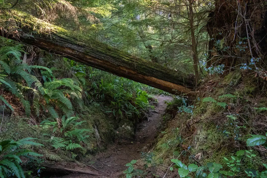
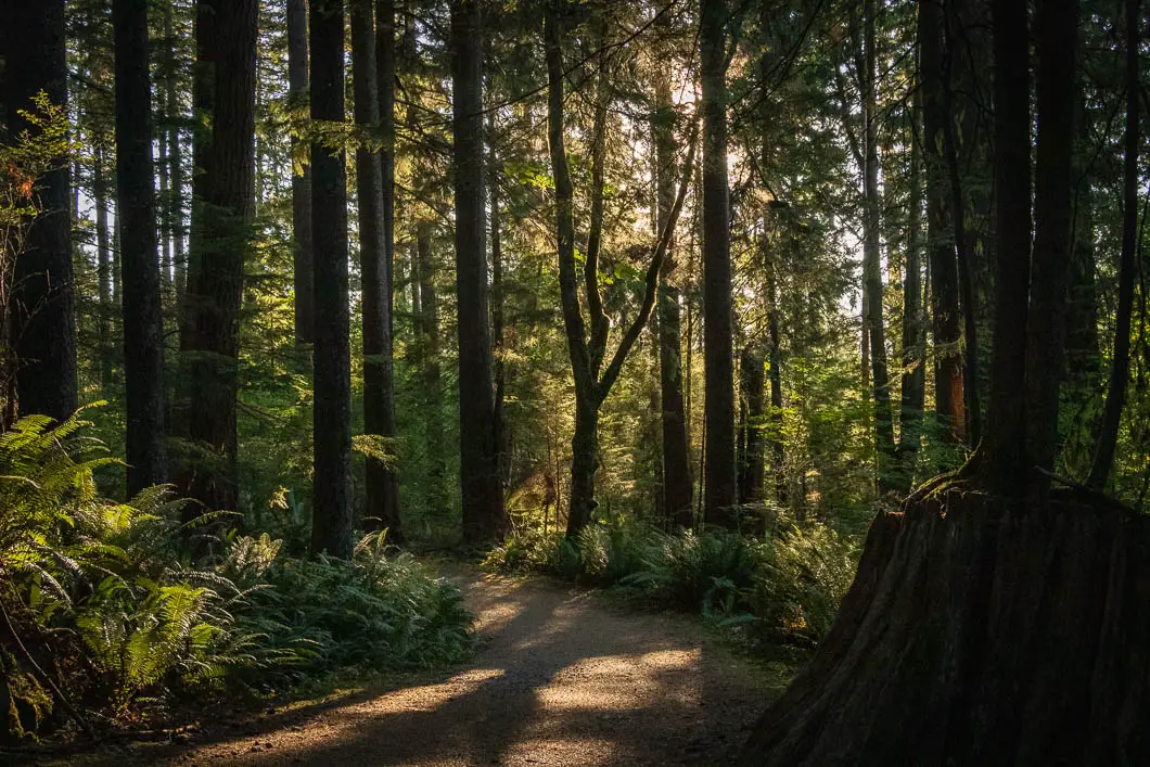
There are no trail markers, but it should be easy to stay on the path. Keep climbing up until the trail flattens out somewhat and the forest becomes more open, with fewer bushes.
At this point, about 2.2 km into the hike, if you look behind you, there is a yellow marker in the tree. It, too, reads “1986 World Round Hill Loop”. About 10 meters past that sign, there’s a junction. It’s not an obvious junction and would be easy to miss. But you’ll see a faint trail that goes to your right and a faint trail that carries straight up the hill. Go right.
Follow the trail, now due west towards the inlet, and you’ll soon be walking slightly downhill. The trail is faint, and you have to keep a sharp eye to stay on track in this section.
As you go down, there’s a junction with a defined trail on your left. Stay to the right, as this is the final short stretch to reach the bluffs. The trail drops sharply, and you’ll soon emerge onto Belcarra Bluffs.
At an average pace, it should take about an hour, maybe a little longer, to reach this spot. Belcarra Bluffs sits at 194 m elevation and has great views west towards Vancouver.
Take a break here, enjoying the views and watching the boats come in out of the Indian Arm and Port Moody Arm of Burrard Inlet.
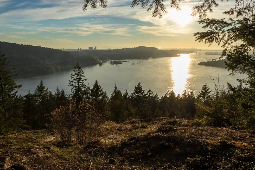
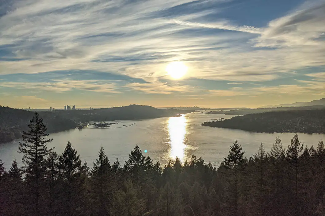
When you’re ready to return, you have two choices. Go back the way you came, or continue looping down to Burns Point, returning along the Admiralty Point Trail. We’ll continue to describe the route for the loop here.
From the lookout, retrace your steps for a minute to the previous junction. Here, you will take a right to start the descent to Burns Point. Start heading downhill. Within a few minutes, you’ll come to a junction. Go to the right, and you’ll continue dropping downhill. The trail is well-worn and easy to follow, but none of the junctions are marked.
In about 10 more minutes, you’ll come out to a major junction. Here, you want to head left onto the 1986 World Round Hill Loop Trail. Thankfully, there’s a sign in the tree at this junction.
Continue on the trail for about 5 more minutes, keeping a sharp eye out on your left.
There’s going to be another junction, but it’s not obvious and would be very easy to walk by. The natural way to go would be to continue straight and miss the junction off to your left, so pay attention in this area.
There’s a creek here, and you may be able to hear it before you see the junction. Go left on the small side-trail and cross the stream.
Shortly after, you’ll come to a sign in the tree marked for the Canadian Pacific Trails Association boundary. You’ll cross over another stream and then just a few minutes later, you’ll come to yet another junction.
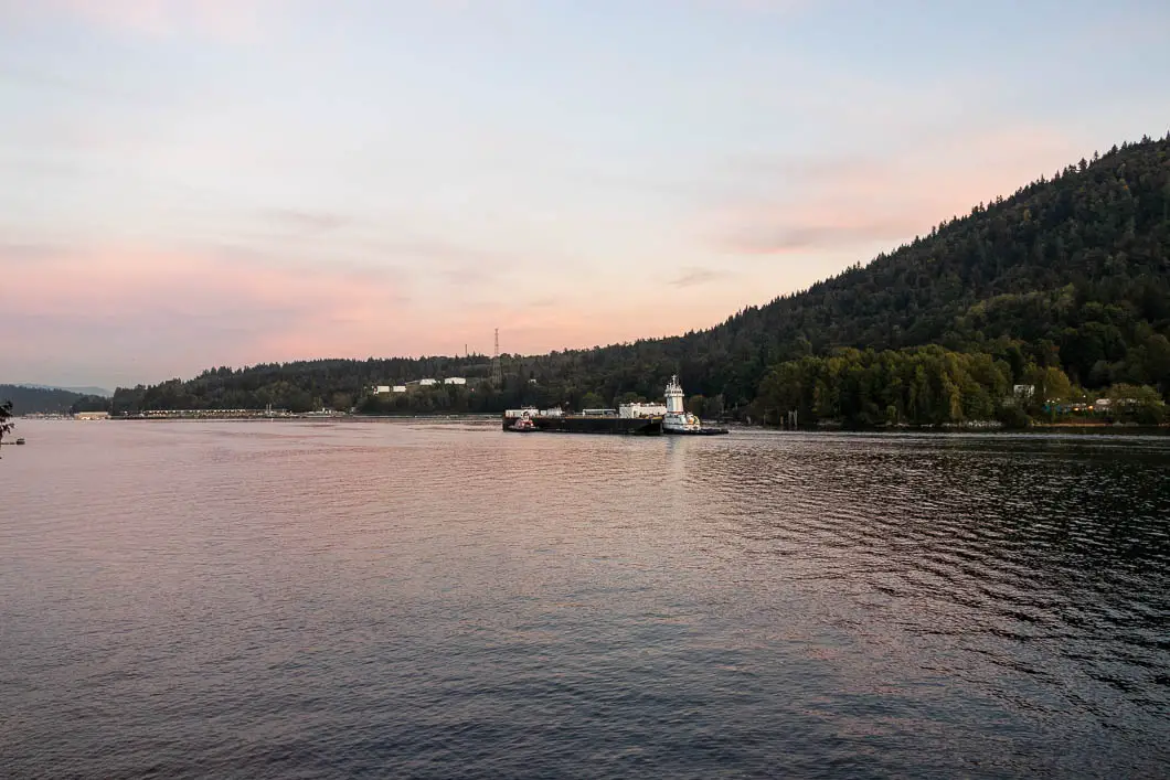
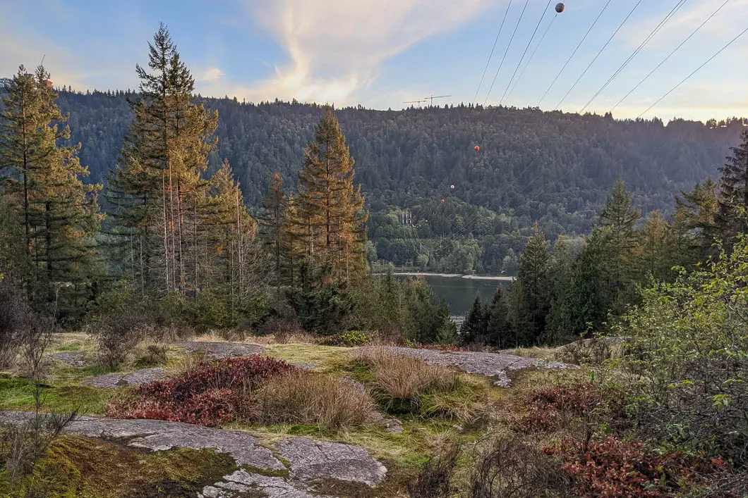
There are two markers in the tree that say “Irish Mud Bog”. At the first tree with the marker, that has two smaller tags on it, turn right. It’s not an obvious trail but if you’re paying attention, you’ll see it.
Next, you will come to a sign that says “Bridge 10 Years After”. Here, there is a wooden bridge across another creek. Go across and keep following the trail.
You’ll come to a large power line that extends across the Burrard Inlet. There’s a lookout area here where you can see the residences at SFU at the top of Burnaby Mountain. You can also see Barnet Marine Park down below. To the right of the power pylons (on the west side), you’ll be able to pick up the trail as it starts to drop sharply down.
The trail here is rugged. But the good news is that it’s only five or ten more minutes to reach the Admiralty Point Trail.
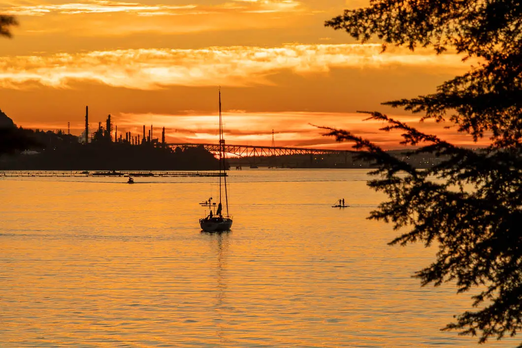
Once you emerge onto the Admiralty Point Trail, there is a short detour to your left that takes you to a lookout at Burns Point. It’s worth the few extra minutes to check out. From Burns Point, turn around, and simply follow the well-groomed Admiralty Point Trail. The trail follows the shore back to the Belcarra Park parking lot.
It is worth stopping at Admiralty Point as well to enjoy the views from there. We have a complete guide for Admiralty Point with further details on that hike.
Download the PDF version of this guide for offline use
Directions and Parking
From the Barnet Hwy/ St. Johns Street in Port Moody, take Ioco Road north. Follow Ioco to the left at the intersection with Heritage Mountain Boulevard. Ioco Road will climb up alongside Rocky Point. In about 4 km turn right onto 1st Ave. Follow 1st Ave left at the first junction, as it turns into Bedwell Bay Road.
Follow Bedwell Bay Road and then turn left onto Tum Tumay Whueton Dr.. Follow Tum Tumay Whueton Dr. all the way to the parking lot at the shore. There will be signs for Belcarra Regional Park along the final stretch of the drive.
Seasonal pay parking is in effect at Belcarra Regional Park, from April 1 to Sep 30.
Pay attention to the park hours. In the winter months the gates close early!
Google Map directions are here.
Other great hikes in this area
- Jug Island (moderate)
- Admiralty Point (easy)
- Sugar Mountain (moderate)
- View all hiking guides here


Tom Gibson
Your video briefly shows the memorial to Jack Elsdon.
Jack told me he saw that bluff in the evenings when he was driving home to Port Moody and always thought there must be a great view from there. He made a number of attempts before he found the best route to the viewpoint and then flagged a trail there.
Jack took members of the Valley Outdoors Association on that hike many times. And his ashes are scattered on the viewpoint.
Jack’s trail is a spur off one of the many motorbike trails on that hill. The motor bike riders were there before the park and have an agreement with Metro Vancouver that grandfathers their use of the regional park. None of these trails are on the official Belcarra Park maps.