Beth Lake – Table of Contents
- Hike Introduction
- Hike Statistics
- Beth Lake Video
- Map and Elevation
- Hiking Route Description
- Directions and Parking
- Free PDF Download
- 360° Photosphere
Beth Lake Hike Intro
Beth Lake is a less-busy hike along the Sea to Sky corridor which starts near the Furry Creek Golf Course.
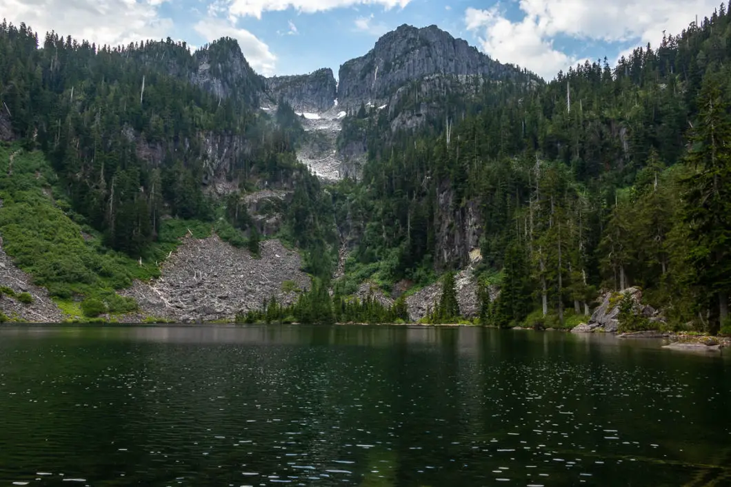
The main draw to this hike is the scenic Beth Lake, which is surrounded amphitheatre-style by tall, jagged peaks. Another nice thing about this hike is that it is less often frequented than many others in the area.
The first part of the hike climbs gradually along a forest service road. The trail then enters a scenic forest along a deactivated service road, crossing several creeks. The final part of the hike is a steep climb up to Beth Lake itself.
Some people choose to bring mountain bikes and hide them in the trees once biking isn’t viable any longer. This might save some time, especially on the descent back out.
The route to Beth Lake is also the first half of the route up to Capilano Mountain.
Beth Lake Hike Stats
Rating: Moderate
Distance: 17 km
Net Elevation Change*: 1,011 m
Highest Point: 1,056 m
Time Needed: 6 Hours
Type: Out-and-back
Season: June – November
Dogs Allowed: Yes
Est. Driving Time from Vancouver: 45 Minutes
Trailhead Coordinates: 49.586396, -123.219726
*For a better understanding of the stats and difficulty rating, check out the Hiking Guides page for details. Always carry The Essentials and fill out a trip plan.
Beth Lake Video
Here is a 5-minute video of our experience on this hike!
Beth Lake Hike Map and Elevation
Beth Lake
Profile
Beth Lake Hiking Route
From the small parking area (directions), walk up the service road for about 100 meters. You will come to a yellow gate. Walk past the gate and continue walking up the road.
As you walk up the hill, you’ll get glimpses of Howe Sound through the trees as well as the Furry Creek Golf Course below you.
The road will take a hairpin turn to the right at a power line. You’ll walk under it and keep heading uphill at a gradual incline.
After a while, the road cuts away from the power lines and into the trees. You’ll see a one-kilometer marker in a tree on your left. This should be roughly fifteen to twenty minutes into the hike.
Next, you’ll come to a three-way junction with a quarry on the left. Here, you will want to stay on the path to the right. The trail becomes more forested and you’ll hear Furry Creek below you on the right. The road here is mostly flat.
You’ll pass by a road that heads down to a BC Hydro facility. There’s a yellow gate there, so just stay to the left.
After two kilometers, or about 40 minutes, you will come to a bridge crossing over Furry Creek. The road does a hairpin turn to the right here.
A few minutes later, you’ll cross a bridge over another creek (Phyllis Creek). The road then starts to climb more steeply. Continue walking for roughly another kilometer.
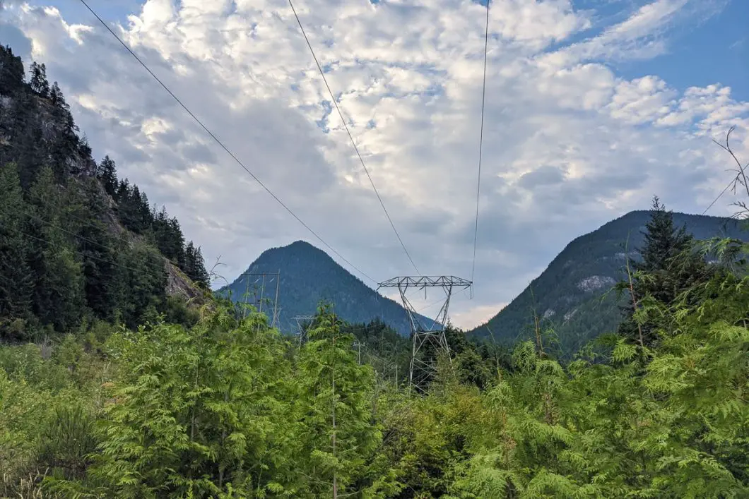
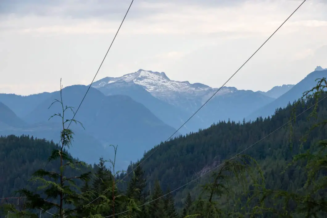
As you come out under a power line, you’ll have an open view of Mount Sedgwick behind you. Here, you’ll be looking for a smaller road that shoots off to the left off from the main road. There should be some orange flagging in the brush. You want to go left here but it is not an obvious junction. Keep your eyes peeled. If you stay straight and head into an area of clear-cut you’ve gone too far.
You will cross back over Phyllis Creek on a small bridge to get onto the Furry-Downing forest service road. On the other side, the trail narrows.
As you walk along the road, there’s a slight incline but it is easy to navigate. It becomes progressively narrower and there are a few sections that feel overgrown.
Keep following the road through the forest. At roughly 1 hour and 45 minutes, you’ll come to a short but steep section where you pass through a small landslide area. The trail cuts across the landslide and carries back into the woods on the other side.
After this area, Furry-Downing Road becomes more of an overgrown single-track trail. But the path remains easy to follow.
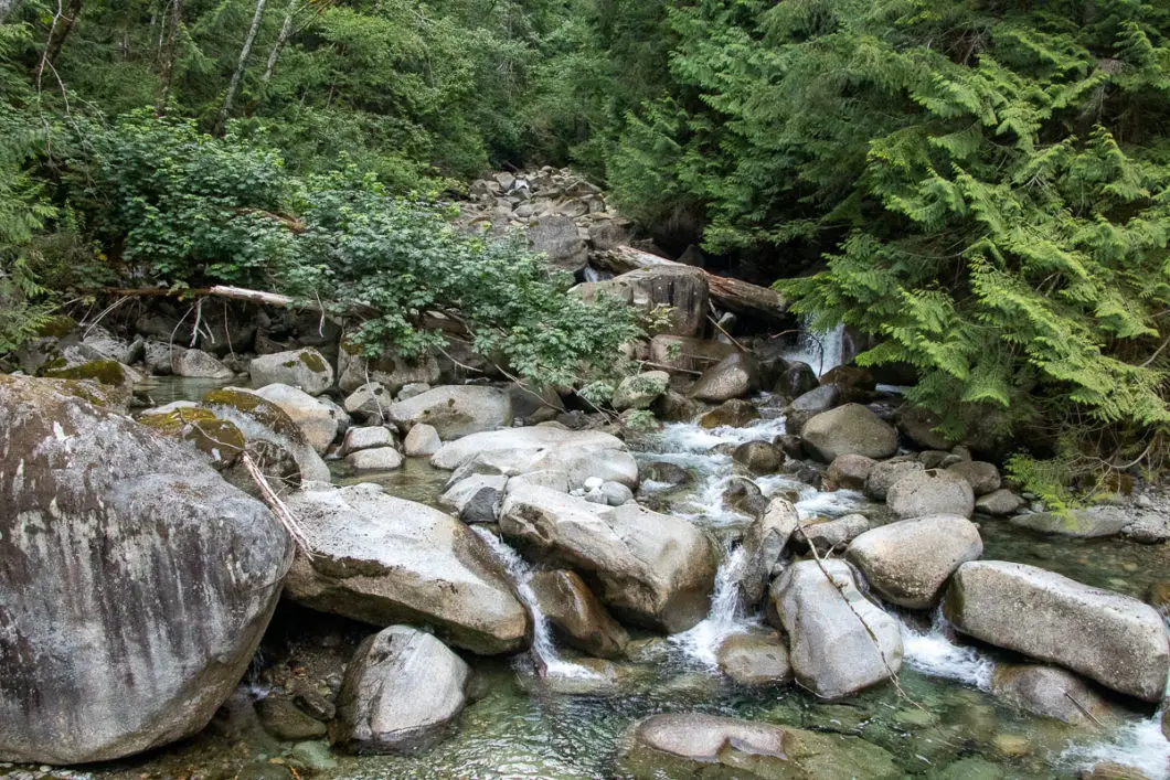
You’ll pass over a few creeks. The trail continues to be overgrown but easy.
You’ll come to another creek after a while. This creek may be too difficult to pass early in the spring, especially after rainfall. Use your better judgment and come back another time if the water is too dangerous. But in the late summer, the creek shouldn’t be too much more than a trickle. You will notice the remnants of an old bridge here.
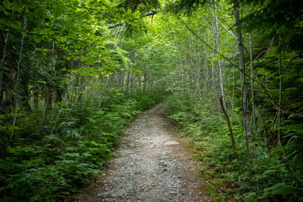
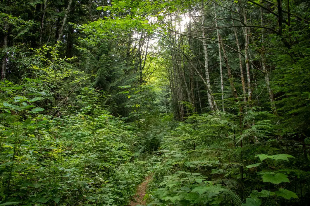
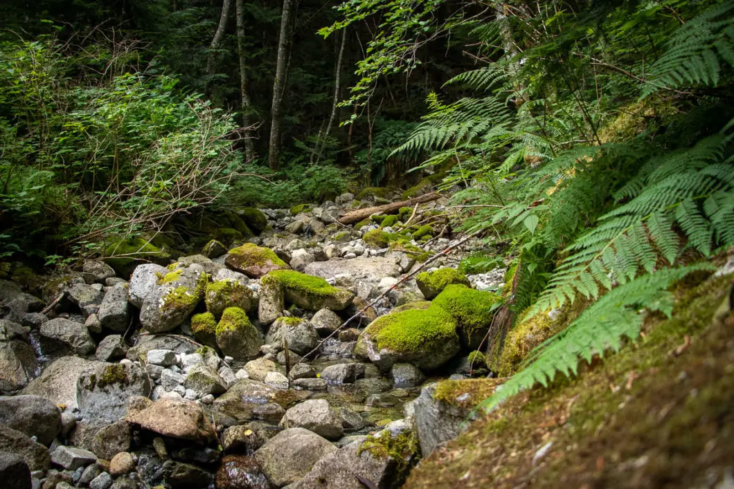
100 m after the largest and final creek crossing (Beth Creek), the trail cuts to the right. Here, the trail leaves the Furry Downing Service Road and you will begin the Beth Lake Trail. This is just a little more than 7 kilometers into the hike. From here, the trail becomes steep and remains steep until reaching the top.
It is about 1.5 km and 400 m of elevation to reach Beth Lake from the Furry-Downing Road junction. This final stretch is also the most strenuous part of the hike.
There is flagging periodically in some of the branches of the trees and bushes. But the trail should be worn enough you can follow it without too much difficulty. There are also small square orange markers nailed into the trees.
There aren’t any junctions to worry about, so keep following the trail markers and grunt your way up the hill.
As you approach Beth Lake, you’ll emerge from a part of the trail that feels overgrown. Beth Creek will be on your right and the forest will open up more. There’ll be a lot of large trees and orange markers in some of them.
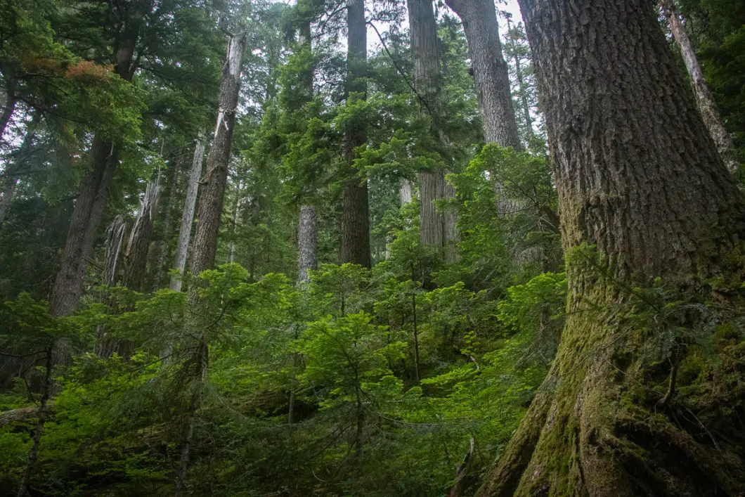
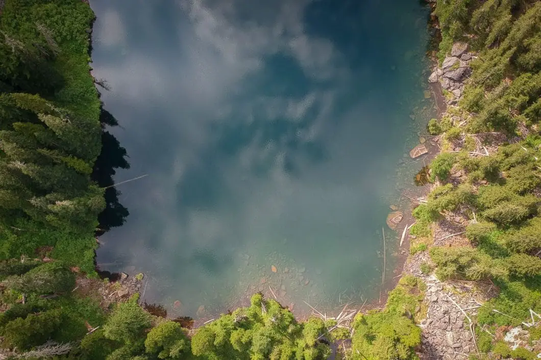
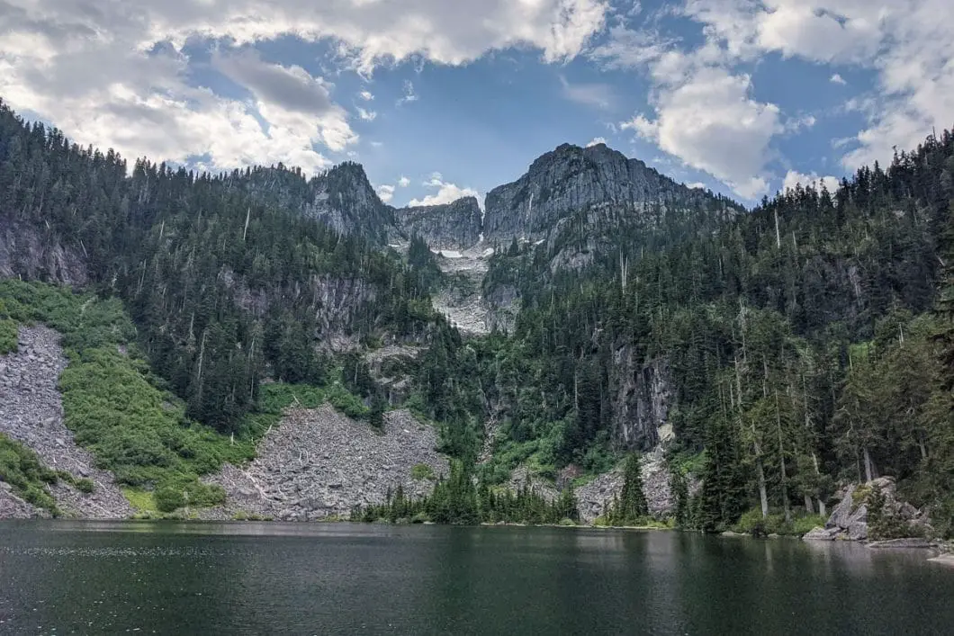
From here, push on for the final 10 minutes until you emerge at Beth Lake.
There is not much in the way of a beach or open space to stretch out. But there are a few spots where you can get along the shore and enjoy the fantastic view of the dramatic peaks rising behind the lake.
There is a trail that continues around Beth Lake up to Capilano Mountain, but that is much more difficult and beyond the scope of this guide.
Enjoy the scenery, take a break, and when ready return to your car on the same path.
Download the PDF version of this guide for offline use
Directions and Parking
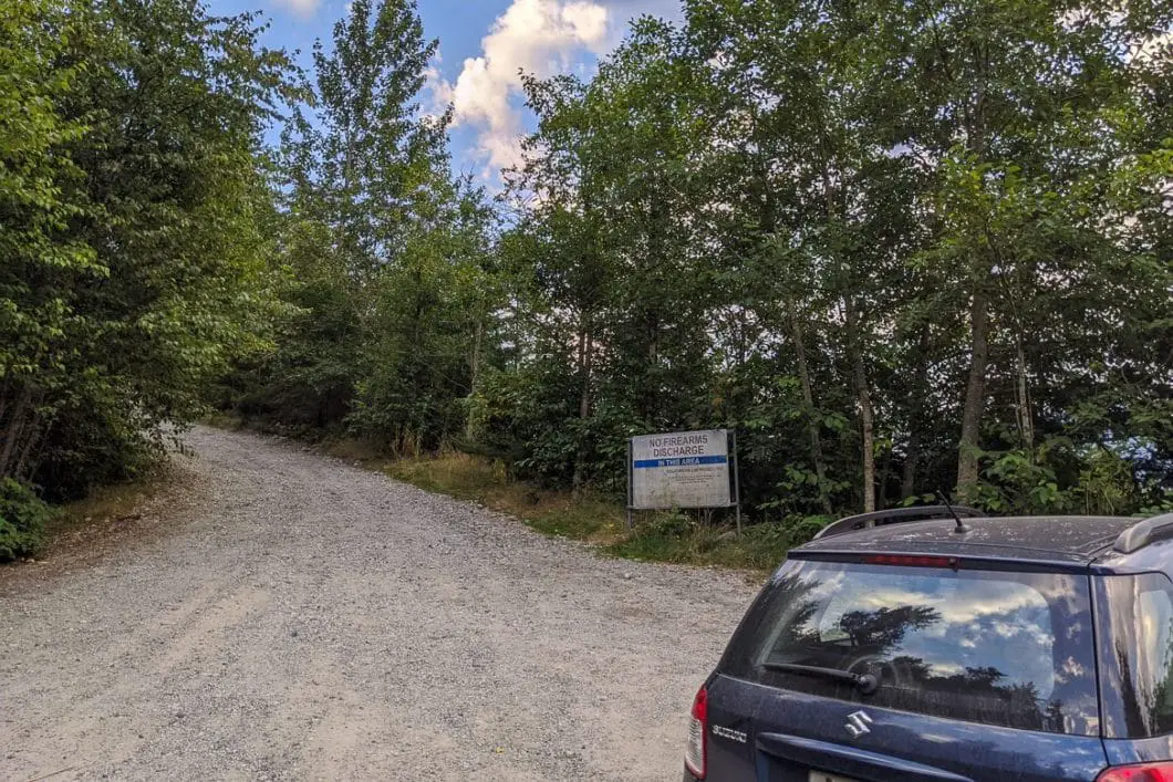
From Vancouver, drive north along Hwy 99 towards Squamish. Take the Furry Creek exit.
At the first stop sign, turn left onto Furry Creek Drive. Next, turn right onto Sea View Drive. As soon as you turn up Sea View, you will see a small parking area on the right-hand side of the dirt road.
Don’t leave any valuables in your car.
Google Map directions are here.
Other great hikes in this area
- Tunnel Bluffs (moderate)
- Murrin Park Loop (moderate)
- The Stawamus Chief (moderate)
- View all hiking guides here


