Black Mountain Snowshoe – Table of Contents
- Hike Introduction
- Hike Statistics
- Black Mountain Video
- Map and Elevation
- Hiking Route Description
- Directions and Parking
- Free PDF Download
- 360° Photosphere
Black Mountain Snowshoe Intro
Black Mountain is a popular snowshoe trail in Cypress Provincial Park in West Vancouver. While popular, this trail is usually less busy than the nearby Hollyburn Mountain and Bowen Lookout snowshoe routes.
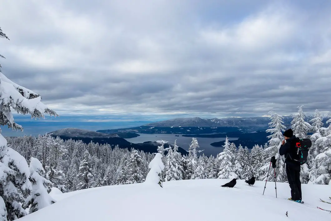
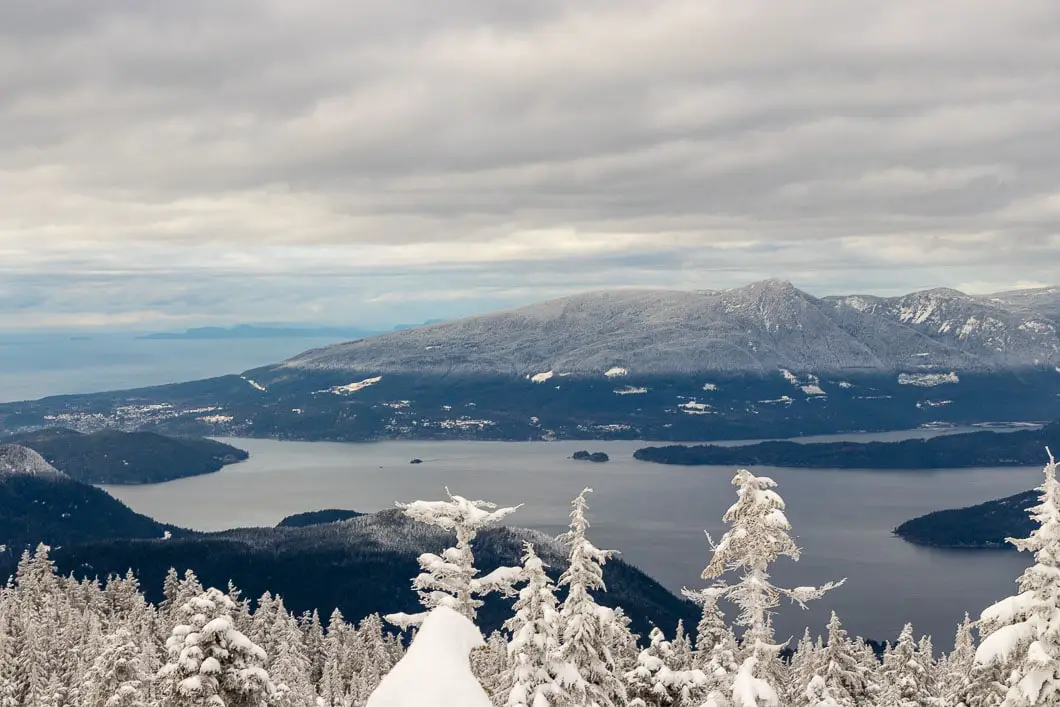
The trail begins at the Cypress Mountain Resort Lodge and climbs up sharply to the south summit of Black Mountain. From the summit, there are beautiful panoramic views of Howe Sound, Vancouver, and the North Shore mountains.
The trail is a part of the Cypress Provincial Park backcountry and is free to use. But you will need to grab a free backcountry access pass (release of liability) before you begin the trail.
The snow on the trail is often heavily packed in so if there isn’t fresh snow, microspikes should suffice. If you need snowshoe rentals, they are available in the rental shop in the Nordic area of Cypress Resort.
Avalanche Awareness
Avalanche.ca rates this route as Class 1 (Simple) terrain: “Exposure to long angle or primarily forested terrain. Some forest openings may involve the runout zones of infrequent avalanches. Many options to reduce or eliminate exposure. No glacier travel.” Use the Avalanche.ca Trip Planner to factor in the risk levels with current avalanche forecasts. More information about winter travel and avalanche safety can be read here.
Black Mountain Snowshoe Stats
Rating: Moderate
Distance: 6 km
Net Elevation Change*: 290 m
Highest Point: 1,217 m
Time Needed: 2.5 – 3 hours
Type: Partial-loop
Season: November – April
Dogs Allowed: Yes, on leash
Est. Driving Time from Vancouver: 30 Minutes
Trailhead Coordinates: 49.397245, -123.205670
Black Mountain Video
Here is a 4-minute video of our experience on this snowshoe!
Black Mountain Snowshoe Map and Elevation
Black Mountain
Profile
Black Mountain Snowshoe Route
Before you start, you need to get a self-served backcountry pass from the Black Mountain Lodge (the old, smaller lodge in the lower parking lot). The pass is free to grab, but you will be asked by Cypress Resort staff to show it before you are allowed to walk towards the trailhead. After you have the pass, walk up to the Cypress Creek day lodge by the uppermost parking lot.
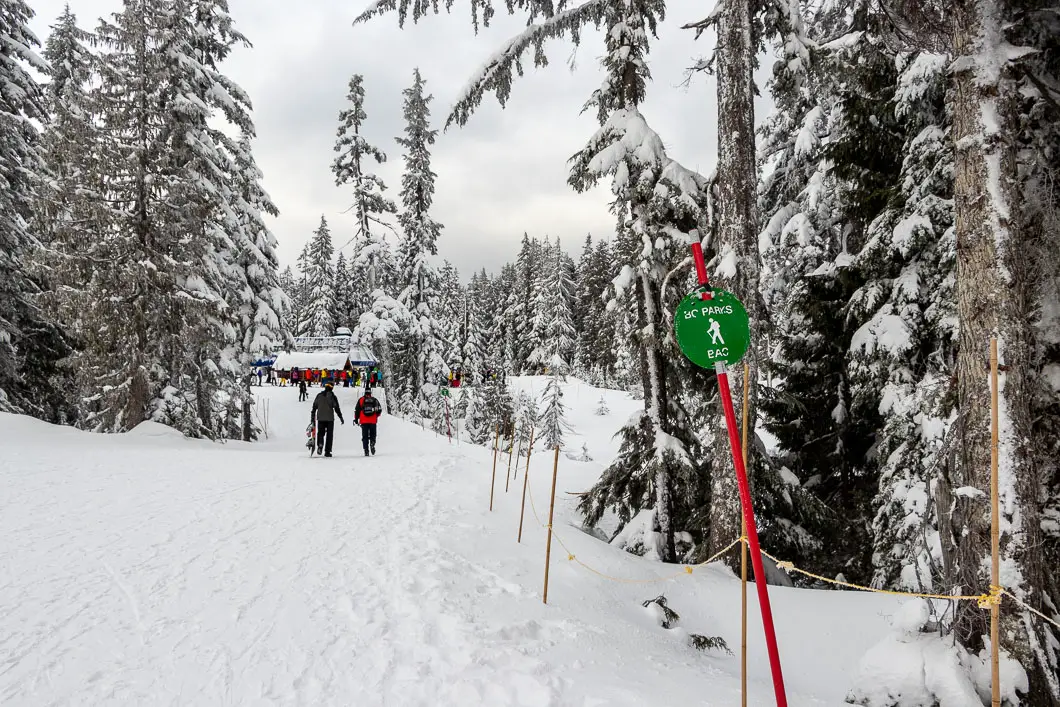
From in front of the Cypress Creek Lodge, walk towards the Eagle Express chairlift. You should notice a pole with a “BAC” marker on it with an icon of a hiker. This is marking the route through the “Backcountry Access Corridor”. As you approach the Eagle Express chairlift, you’ll see a roped lane for ‘hikers’. Follow the signage, and you’ll be at the trailhead. There’s a sign here that warns you that you are entering the uncontrolled backcountry of Cypress Provincial Park. Walk a short way and you’ll come to a junction. The Bowen Lookout Trail goes to the right and the Black Mountain Plateau Trail goes left. Head left.
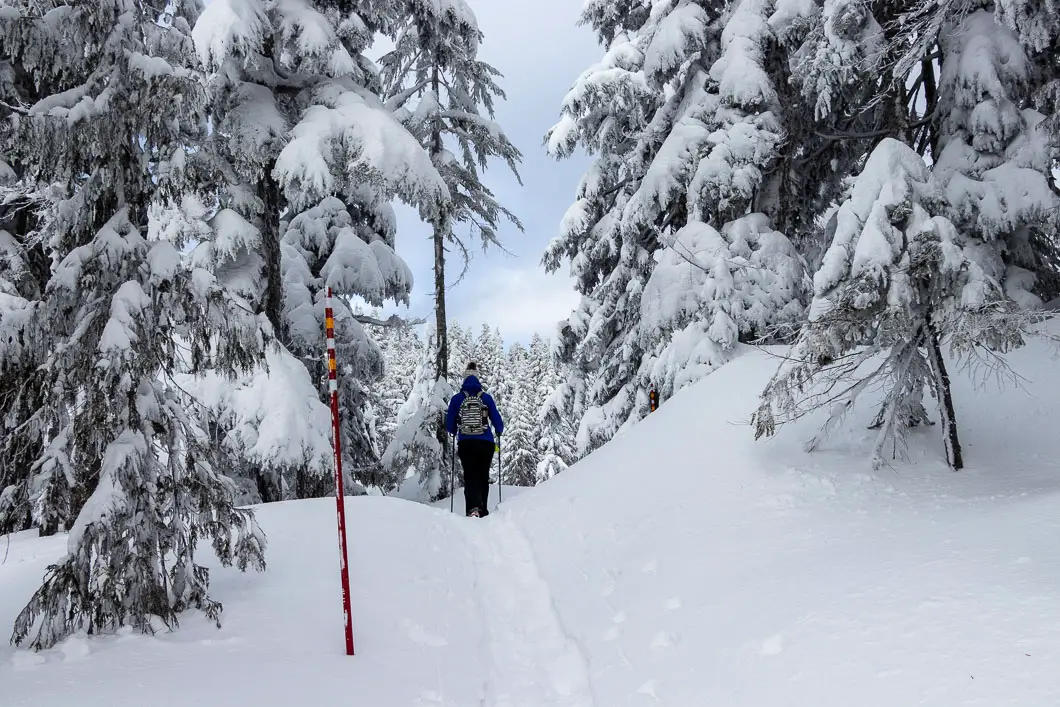
During the winter, the trail is marked frequently by red poles. The trail should also be well-worn by others unless you are breaking the trail after fresh snow.
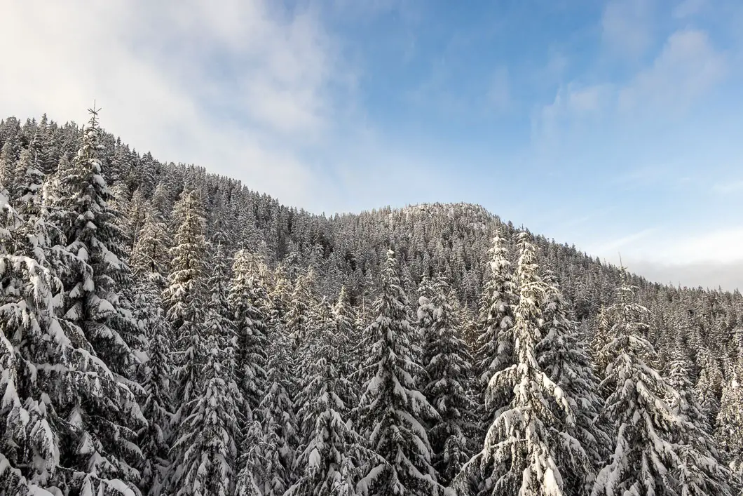
The trail goes into the trees and starts climbing uphill, zig-zagging in and out. You’ll have views of Black Mountain north summit to your right early on. Maelle Ricker’s Gold ski run will be on your left, but you won’t see it for the first part of the climb.
After roughly half an hour or 1 kilometre, you’ll come to an open area where you will have a view of Mt. Strachan behind you. Maelle Ricker’s run will be immediately on your left and you can see the skiers whizzing by.
If you look carefully, you might get a few glimpses into Howe Sound here as well.
Keep climbing up the steep trail, following the red poles. After roughly one hour or a little under two kilometres, you’ll come to the junction for the Black Mountain loop. The loop is 1.6 kilometres to complete. Heading to the right is the faster way to reach Black Mountain, so head that way.
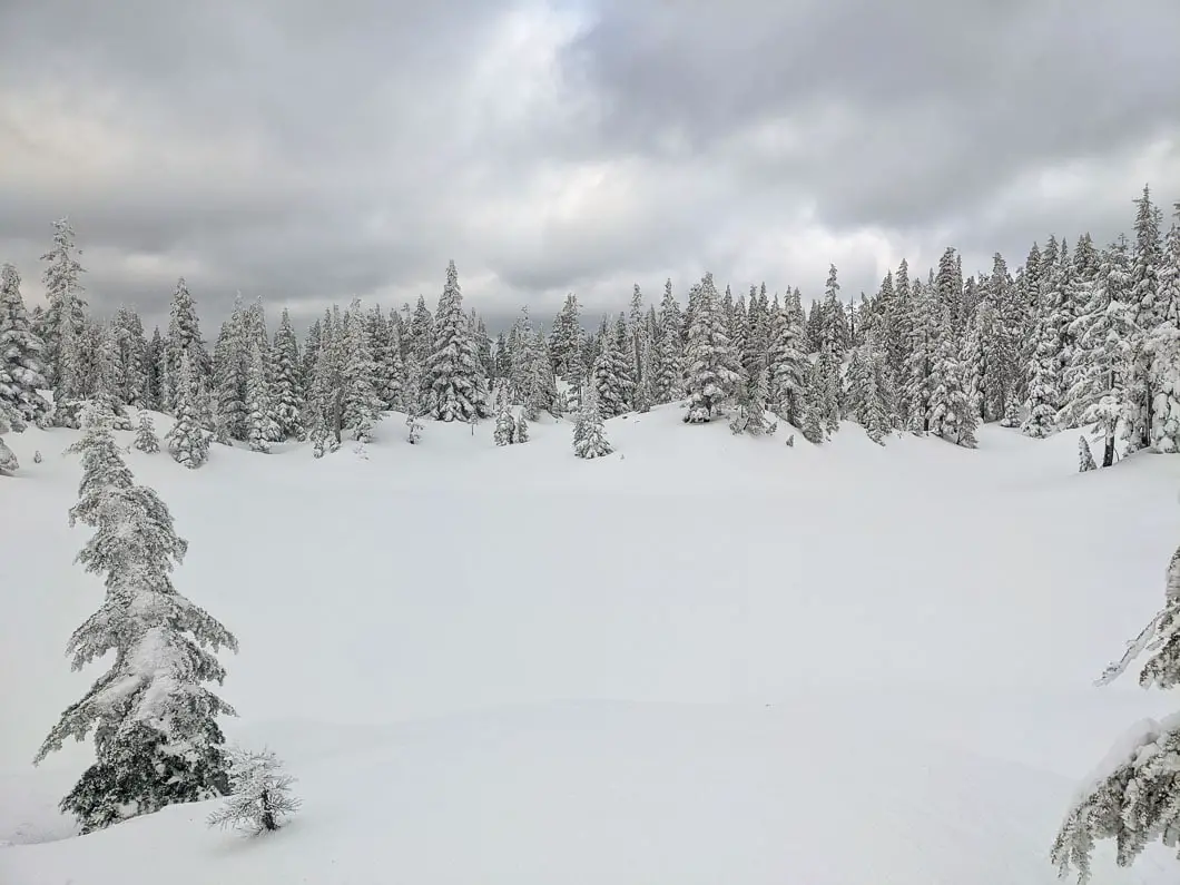
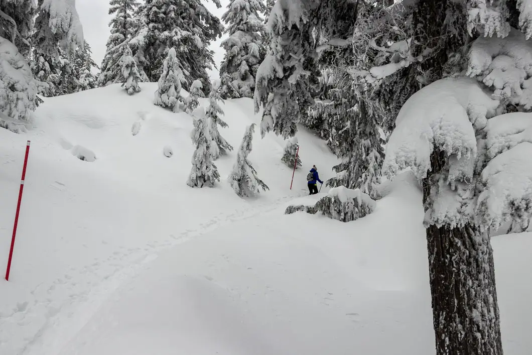
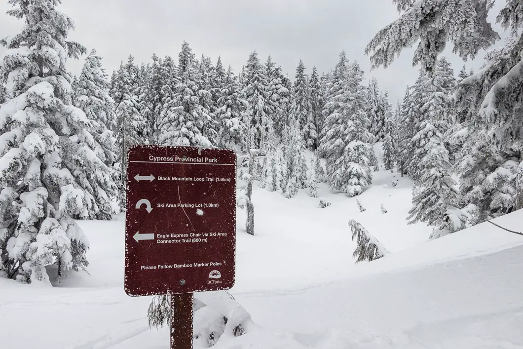
Keep following the trail, which will be less steep now. Following the trail, you’ll come to Cabin Lake, which you’ll recognize as a large open area without any trees. From Cabin Lake, the trail heads southward.
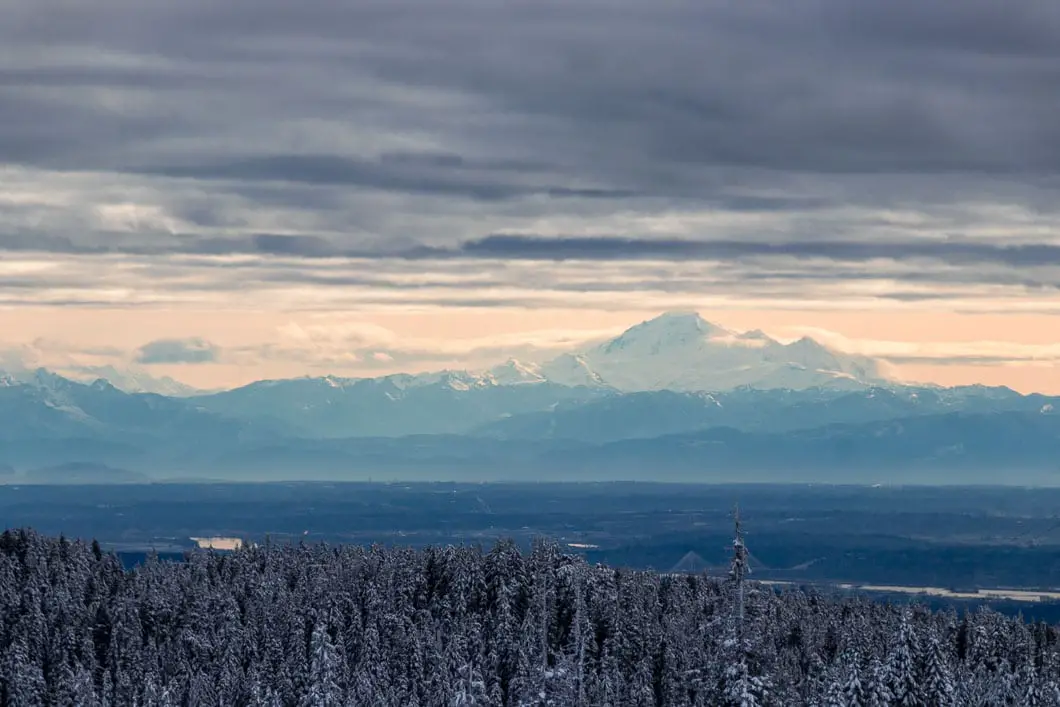
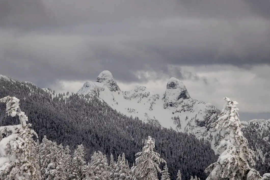
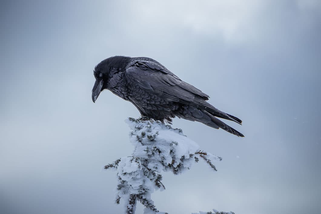
After about an hour and a half, you’ll come to the summit of Black Mountain. At the summit, there’s a view of Vancouver, Howe Sound, The Lions, Mount Baker, Hollyburn Mountain, Mount Strachan, Bowen Island (Mount Gardner), and more. Enjoy the view and visit with the resident ravens if they are around.
If you want to go back to the parking lot as quickly as possible, return the way you just came from. Otherwise, complete the full loop which is scenic and worthwhile.
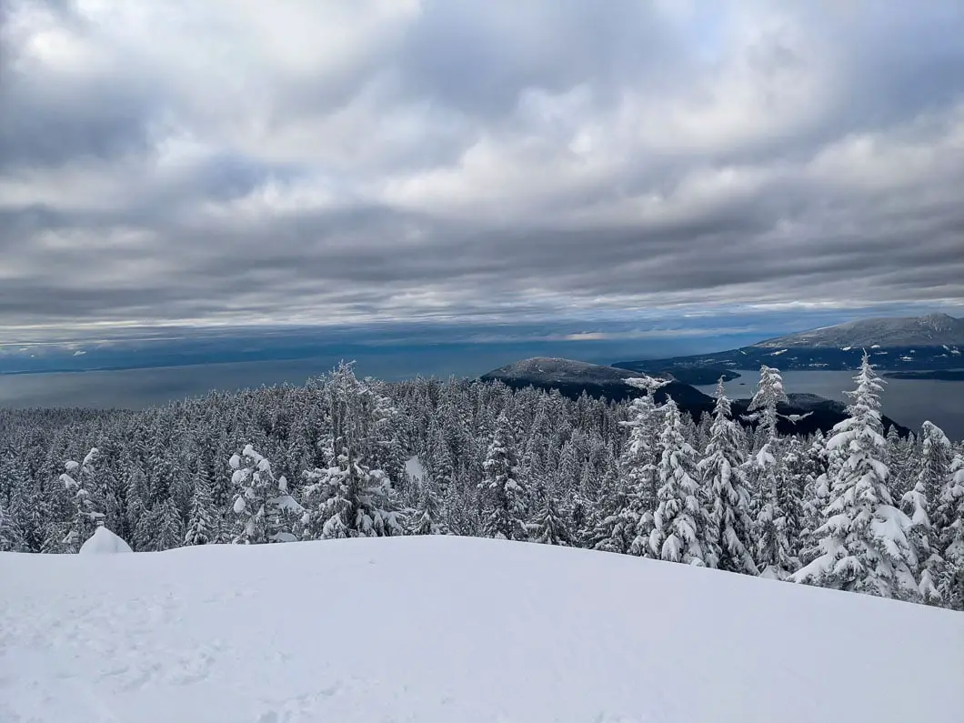
Carrying on from the summit, the trail heads into the trees, downhill. After a while, you will pass a part of the trail that splits to Eagle Bluffs. This route is unmarked and not recommended for winter travel, so continue to follow the red poles to stay on the loop.
The trail will pass by Owen, Sam, and Theagill Lakes, all of which will be buried deep under snow. The trail will climb uphill sharply, making its way back to the original junction where you began the loop. As you approach the top of the climb, you will come to a T-junction.
To the right is the route backcountry skiers take to descend back downhill. Make sure you go left which is marked with poles and carry on from there. In about 10 more minutes of ascent, you will arrive back at the junction for the loop. Head right to return to the parking lot, retracing your steps the rest of the way.
If you want to snowshoe some more, the nearby Bowen Lookout is an easier route that can be completed in the same outing.
Download the PDF version of this guide for offline use
Directions and Parking
The snowshoe trail to Black Mountain starts from the Cypress Mountain Resort parking lots. Take Highway #1 West and take Exit #8 onto Cypress Bowl Rd. Follow this highway for 15 km to the downhill ski parking lot.
There is also a private bus operated by Cypress Mountain you can take in the winter. Details here.
Parking in the winter is no longer free for backcountry users unless you park in the furthest lot (3B). Other lots require paying $10 at the machine where you pick up your backcountry pass.
Google Map directions are here.
Other great hikes in this area
- Bowen Lookout (easy)
- Hollyburn Mountain (moderate)
- Snowshoe Grind (moderate)
- View all hiking guides here


Shashi
Great guide. Thanks for putting this together.