Bowen Lookout – Table of Contents
- Snowshoe Introduction
- Snowshoe Statistics
- Bowen Lookout Video
- Map and Elevation
- Hiking Route Description
- Directions and Parking
- Free PDF Download
Bowen Lookout Snowshoe Intro
The Bowen Lookout is a short but sweet snowshoe route in Cypress Provincial Park.
The Bowen Lookout route carries along the Yew Lake Trail before passing through a section of scenic old-growth forest and then climbing uphill about 100 m of elevation. The trail ends with a fantastic viewpoint overlooking Howe Sound and Bowen Island.
The Bowen Lookout Trail is free to use as part of Cypress Provincial Park, but requires a backcountry access pass from Cypress Mountain ski resort.
Other popular snowshoe routes in Cypress Provincial Park are the Hollyburn Mountain and Black Mountain routes. Both are more challenging than the Bowen Lookout route, which is beginner-friendly.
Avalanche Awareness
Avalanche.ca rates this route as Class 1 (Simple) terrain: “Exposure to long angle or primarily forested terrain. Some forest openings may involve the runout zones of infrequent avalanches. Many options to reduce or eliminate exposure. No glacier travel.” Use the Avalanche.ca Trip Planner to factor in the risk levels with current avalanche forecasts. More information about winter travel and avalanche safety can be read here.
Bowen Lookout Snowshoe Stats
Rating: Easy
Distance: 4.2 km
Net Elevation Change*: 98 m
Highest Point: 1,022 m
Time Needed: 1.5 – 2 Hours
Type: Out-and-back
Season: November – April
Dogs Allowed: Yes, on leash
Est. Driving Time from Vancouver: 30 Minutes
Trailhead Coordinates: 49.397245, -123.205670
Bowen Lookout Snowshoe Video
Here is a 4-minute video of our experience on this hike!
Bowen Lookout Map and Elevation
Bowen Lookout Snowshoe
Profile
Bowen Lookout Snowshoe Route
Before you start the trail, you need to pick up a backcountry access pass from the Black Mountain Lodge (the older, smaller lodge in the lower lot). The passes are self-served, and you simply need to take one with you to show Cypress Resort staff before you can walk through the Backcountry Access Corridor (BAC). You’ll find the short BAC in front of the upper Cypress Creek Lodge, as it leads towards the Eagle Express chairlift.
From the Eagle Express chairlift, find the hikers lane which takes you to the trailhead for the backcountry hiking routes. After 20 meters or so, there’s a split in the trail. Going left takes you to Black Mountain and going to the right takes you to Bowen Lookout. The sign here is marked as 3.5 km return distance to the Bowen Lookout. As you start on the trail, you’ll see the red poles marking the route. On your left, there’s a small stream, which leads to Yew Lake.
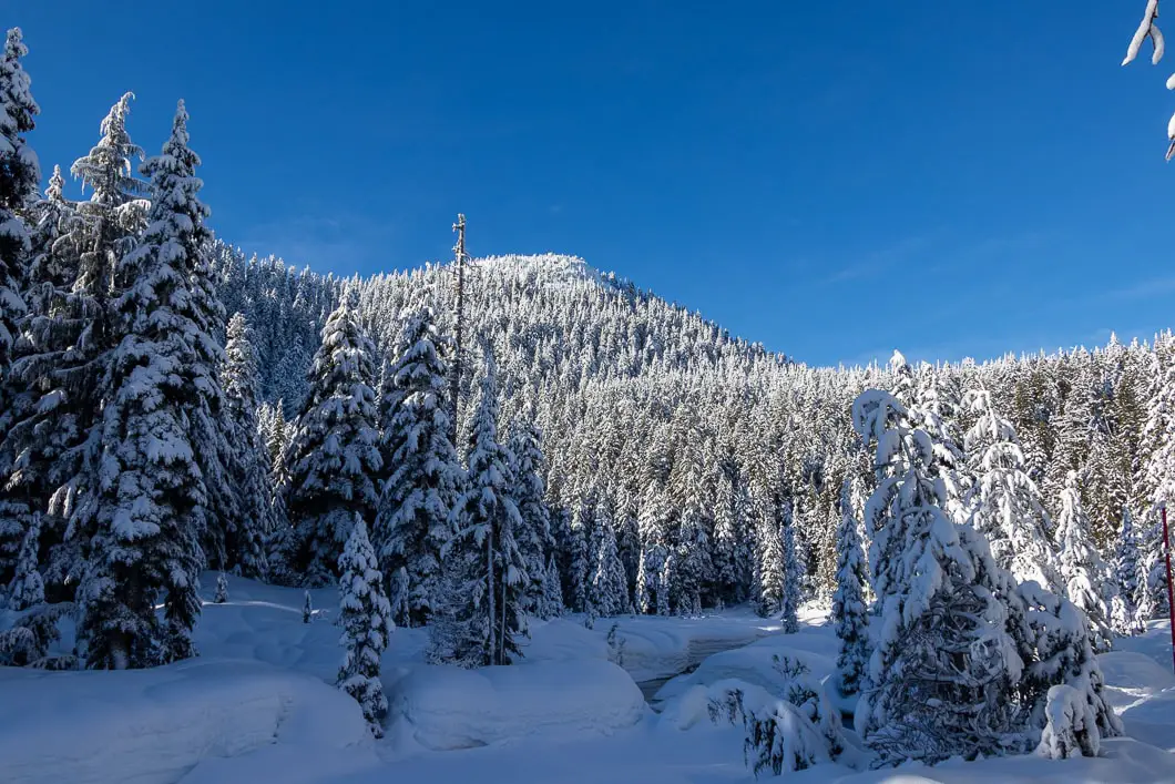
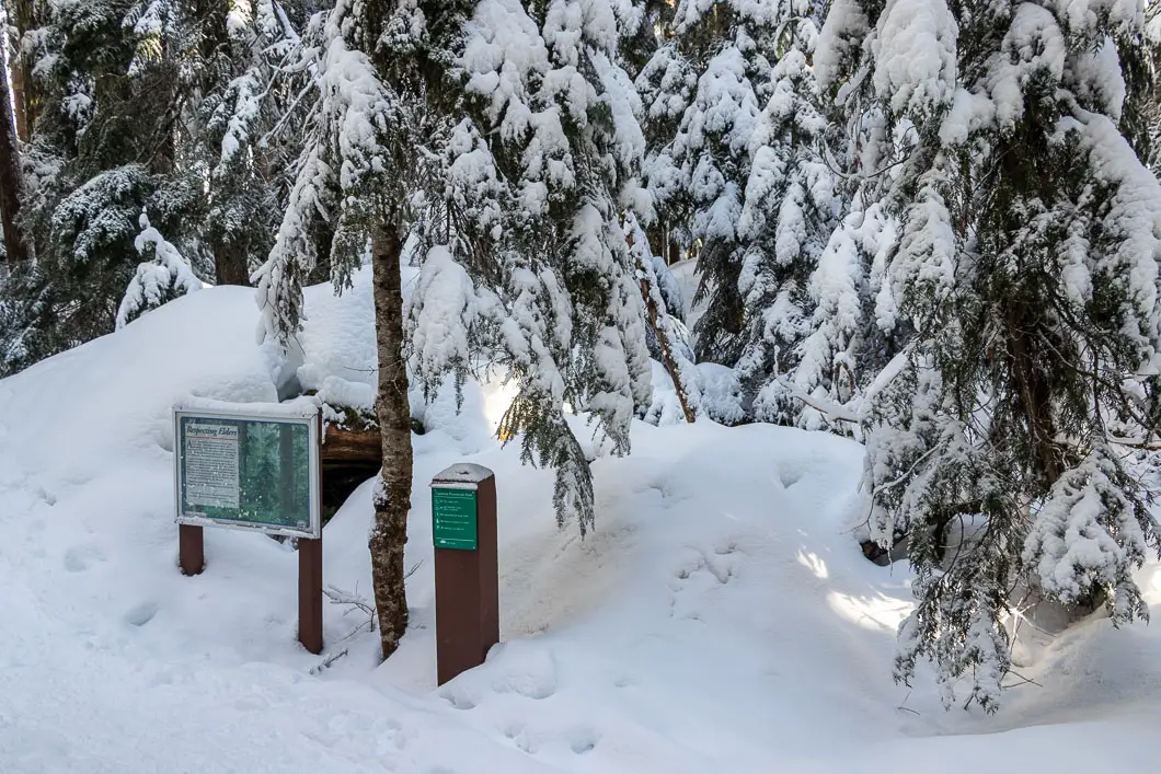
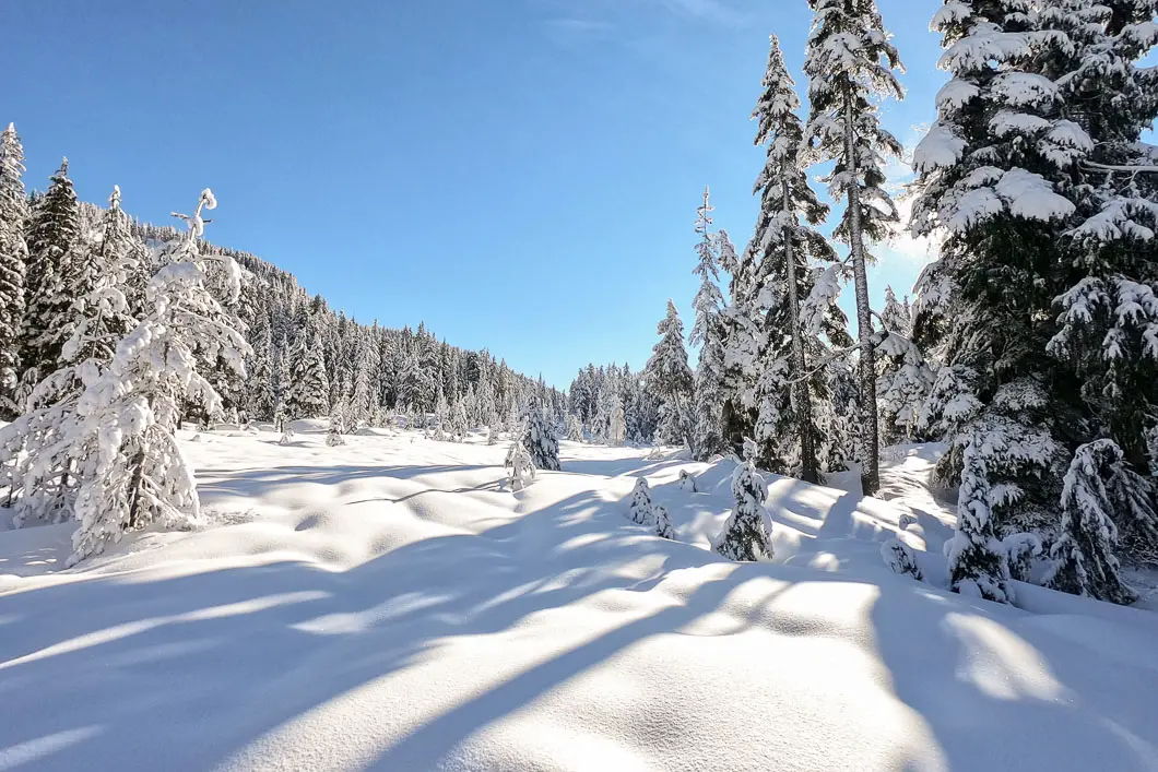
During this first stretch, the trail is flat, and it zigzags in and out of the trees. There are some scenic open areas, and views of Black Mountain to your left. After roughly 20 minutes or 1 km, you’ll enter the forest. There is a Cypress Park trail marker directing you to go left towards the Bowen Lookout. It’s marked as 1.2 kilometres from this point.
The trail passes by some massive trees in this scenic stretch through the forest. The trail climbs uphill slightly. Before long, you’ll come out to a road. There will be a small pump house on your right. Go left, following the red poles.
After a few minutes, you’ll come to another trail marker and a small bridge over a creek. Go right, over the small bridge. From there, the trail starts climbing uphill. This is the most difficult section of the hike and covers most of the overall elevation gain of the trail.
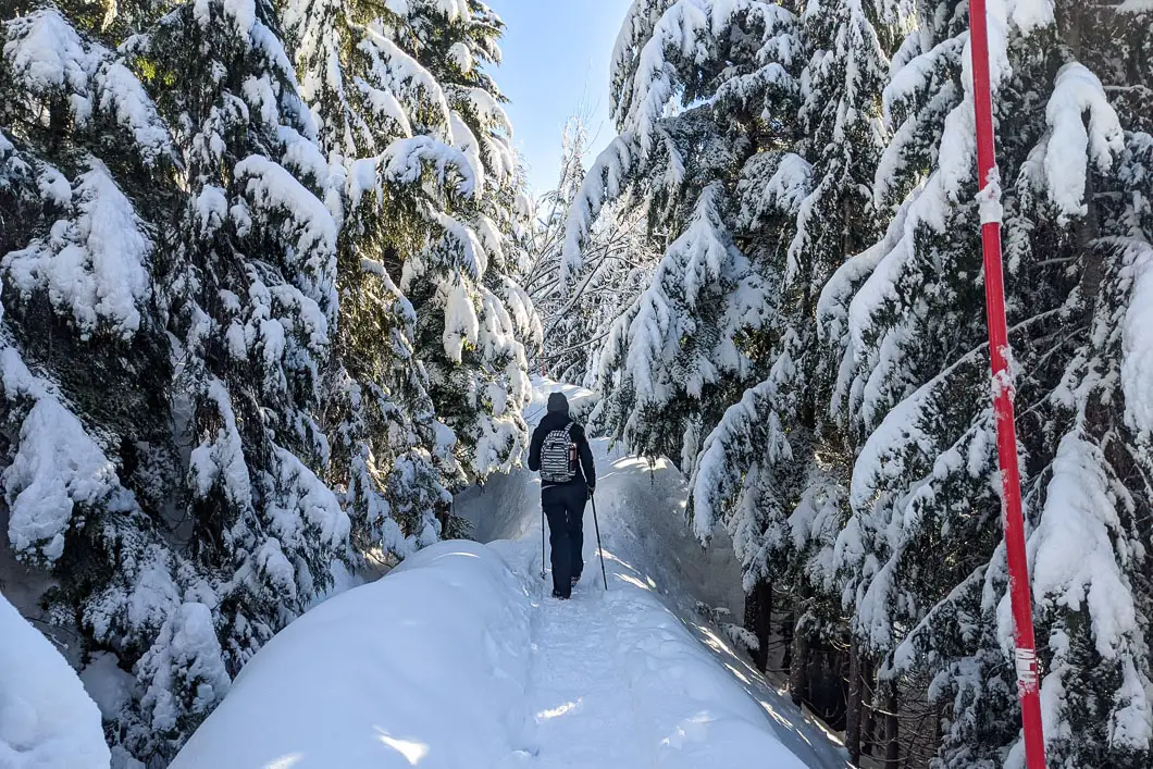
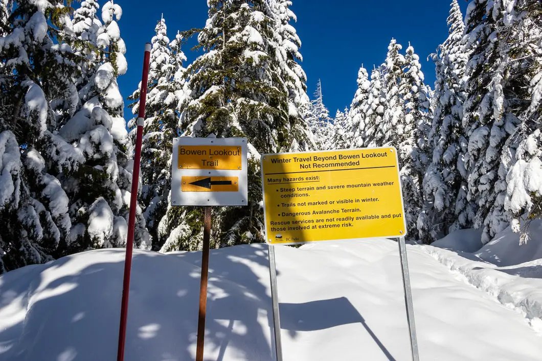
There are a couple of switchbacks and one final big push until you come to a junction between Bowen Lookout and the route to Saint Mark’s Summit along the Howe Sound Crest Trail. Go left here (backcountry travel along the Howe Sound Crest Trail is not recommended during the winter and has led to several deaths over the years).
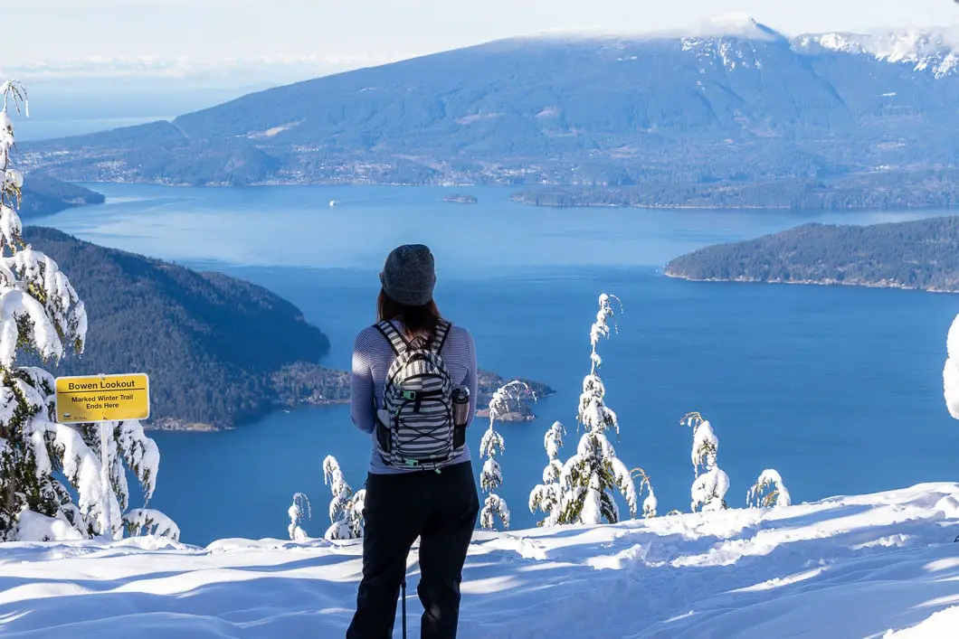
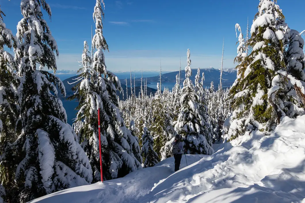
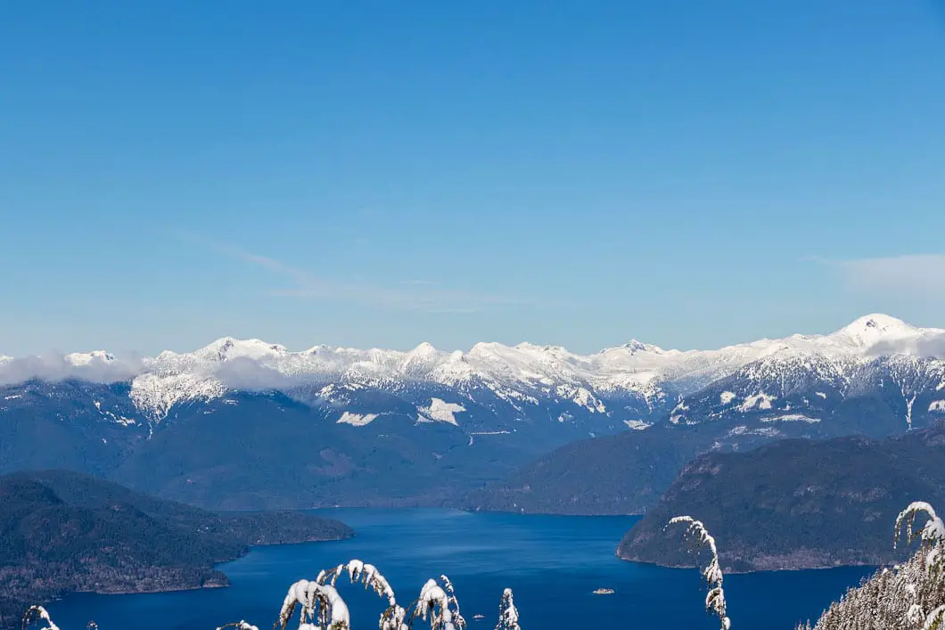
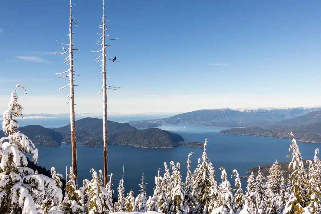
As you go left towards the Bowen Lookout, the trail will descend. In a few minutes, you’ll reach the lookout with an incredible view of Howe Sound. Bowen, Boyer, Gambier, and Keats islands can all be seen. The Sunshine Coast and Mount Elphinstone are directly across the water.
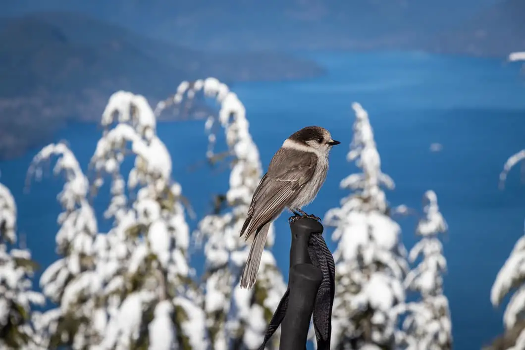
Enjoy the view, and the company of the resident ravens, Gray Jay, and Steller’s Jay birds if they are hanging around.
To return, retrace your steps, following the red poles.
Download the PDF version of this guide for offline use
Directions and Parking
The snowshoe trail to Bowen Lookout starts from the Cypress Mountain Resort parking lots. Take Highway #1 West and take Exit #8 onto Cypress Bowl Rd. Follow this highway for 15 km to the downhill ski parking lot.
There is also a private bus operated by Cypress Mountain you can take in the winter. Details here.
Parking in the winter is no longer free for backcountry users unless you park in the furthest lot (3B). Other lots require paying $10 at the machine where you pick up your backcountry pass.
Google Map directions are here.
The 14 Best Snowshoe Trails Around Vancouver
Click here to read our guide to snowshoeing in and around southwest B.C.
Other great snowshoes in this area
- Black Mountain (moderate)
- Hollyburn Mountain (moderate)
- Snowshoe Grind (moderate)
- View all hiking guides here


Ambra
Can this be done w good boots and no snowshoes?
Karl W
Depending on whether or not there is fresh snow and how compact the snow is, you may be able to get away with using microspikes – more details can be found here: https://www.outdoorvancouver.ca/resources/back-country-avalanche/
Varun Sidhu
Are able to rent snowshoes for this trail from cypress mountain? I know there is rental for the hollyburn mountain trails but they don’t allow their rental to be taken outside their trails.
Karl W
I think abiding by their terms and conditions, you are correct, snowshoes rented from Hollyburn aren’t to leave the Nordic area. You might be better renting from MEC or Sports Junkies.