Brandywine Falls – Table of Contents
- Hike Introduction
- Hike Statistics
- Map and Elevation
- Brandywine Falls Video
- Hiking Route Description
- Directions and Parking
- Free PDF Download
Brandywine Falls Hike Intro
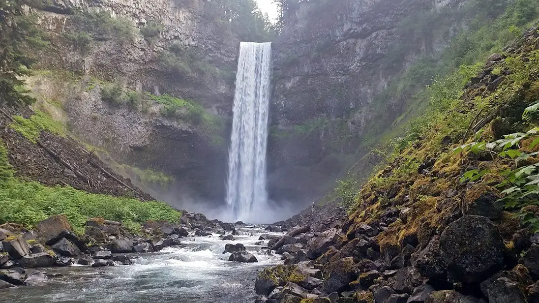
Brandywine Falls is an iconic landmark along the Sea to Sky Highway, located in Brandywine Falls Provincial Park. It is located just 20 minutes south of Whistler and 30 minutes north of Squamish. To reach the waterfall, it is a quick and easy hike on flat terrain. From the parking lot, you can reach the viewing platform, overlooking the spectacular 70 m waterfall, in about 15 minutes.
As the hike is only 1 km, a trip to Brandywine Falls is the perfect detour for anyone travelling between Whistler and Squamish.
The parking lot for Brandywine Falls Provincial Park is just 18 km south of Whistler, and well marked off the side of the Sea to Sky Highway. The park gates are closed during the winter months. However, some people will still park at the gate and walk into the park with snowshoes to reach the falls.
Brandywine Falls Hike Stats
Rating: Easy
Distance: 1 km
Net Elevation Change*: Minimal
Highest Point: 480 m
Time Needed: 30 minutes
Type: Out-and-back
Season: Year-round
Dogs Allowed: Yes
Est. Driving Time from Vancouver: 90 minutes
Trailhead Coordinates: 50.037865, -123.121473
*For a better understanding of the stats and difficulty rating, check out the Hiking Guides page for details. Always carry The Essentials and fill out a trip plan.
Brandywine Falls Video
Here is a 2-minute video of our experience on this hike!
Brandywine Falls Map and Elevation
Brandywine Falls
Profile
Brandywine Falls Hiking Route
This quick hike starts from the Brandywine Falls Provincial Park parking lot. The lot has plenty of parking and a restroom. At the trailhead, you see a covered, wooden bridge. Follow the bridge over Cheakamus Creek and you will see a marker on the other side. The direction to Brandywine Falls is marked (Falls Lookout 300 m), pointing you to the right. (The route to the left takes you along the Lava Lake Trail which extends 2.7 km through the forest and to a series of small lakes at the northern boundary of the park).
Follow the wide, groomed trail for a few hundred meters. You will come to a railroad track. Just before the railroad track there is a split off to the left towards Swim Lake. Despite its name, Swim Lake isn’t a great spot to take a dip as there is no beach. But, you can certainly cool off there on a hot day.
Once you reach the railroad track, make sure the coast is clear, and cross over to the other side. Just on the other side of the railroad tracks you will see a junction for the Sea to Sky Trail. The Sea to Sky Trail goes towards the Whistler Bungee bridge, and then carries beyond to the north. The Sea to Sky Trail is a well maintained multi-use trail of packed gravel that is being built between Squamish and Whistler. But, you can leave that for another day and keep to the right, in the direction for Brandywine Falls. It’s only a few hundred meters more until you reach the viewing platform for the falls.

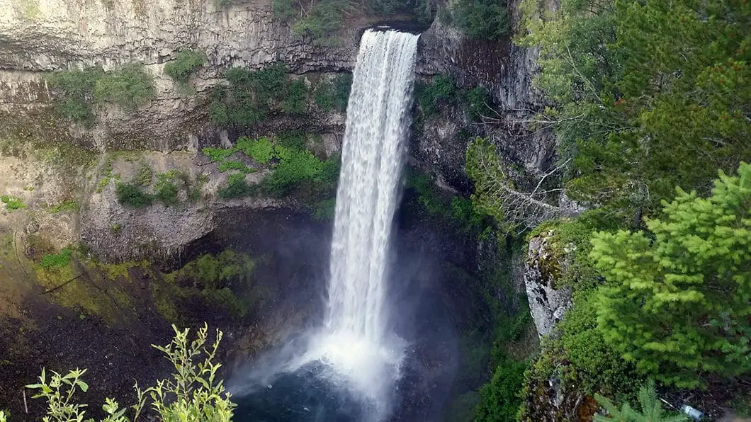
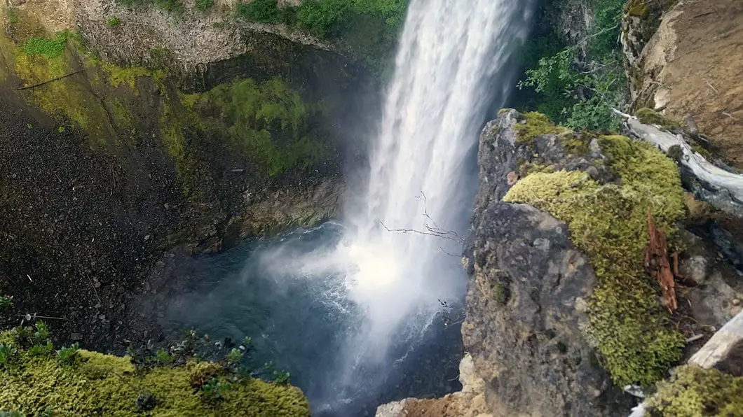
The waterfall is an amazing sight. Brandywine Falls tumbles 70 m straight down into a massive canyon which has been carved out over the passing of time.
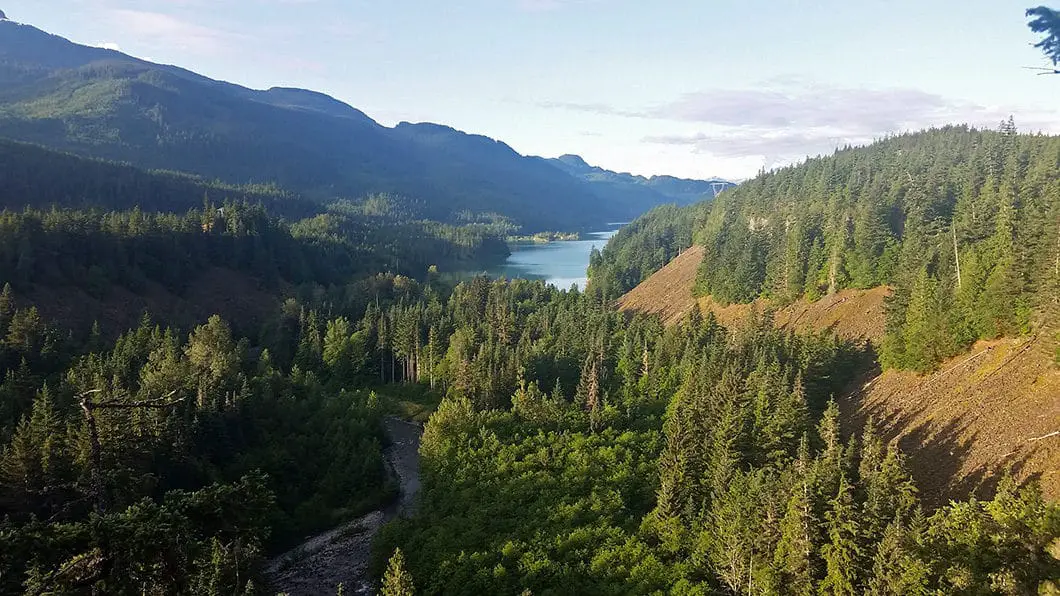
From the platform, you can follow the trail a bit further to the canyon rim. Here, there is an overlook of Daisy Lake and the surrounding mountains, including Black Tusk.
Cool fact: The word brandy is actually the shortened word for brandywine. No one is completely sure about how the falls got their name, but one possible explanation is that two surveyors (Jack Nelson and Bob Mollison) for the Howe Sound and Northern Railway made a wager for a bottle of brandy about who could estimate more accurately the height of the falls. When the height was actually measured with a chain it was Mollison who won the bottle of brandy and Nelson then named the falls Brandywine. [source]

After you’ve enjoyed the views of Daisy Lake and Brandywine Falls, you can retrace your steps back to the parking lot. If you wish to extend the hike, you can take any of the Sea to Sky, Lava Lake, or Swim Lake Trails.
It is possible to find a way down into the canyon. From the southern end of the trail near the Daisy Lake lookout, you can find an unmarked and unmaintained path in the trees. This trail is not marked by B.C. Parks and is a dangerous and rugged route. One section requires the use of rope, and there is an arduous scree slope to navigate. Along with the fact you have to walk along slippery rock to approach the waterfalls, it is unsafe to take this route. It is best left to those who are fit, experienced, and willing to take risk of injury. Hiking down is not recommended and is not reflected in any of the statistics of this guide to Brandywine Falls.
There is no camping in Brandywine Falls Provincial Park, but there are picnic tables available for use. There is also no potable water, so bring your own with you on this hike.
Download the PDF version of this guide for offline use

Directions and Parking
The parking lot is immediately off the side of the highway, and marked in both directions as you approach. The entrance is about 30 minutes north of Squamish or 20 minutes south from Whistler.
During the summer, the gates are closed overnight, so make sure you note the current closing time. In the winter, the gates are closed permanently.
Google Map directions are here.
Other great hikes in this Area
- Garibaldi Lake (moderate)
- Black Tusk (difficult)
- Panorama Ridge (difficult)
- View all hiking guides here


a Wife And Mother Game
This hike sounds absolutely stunning! I love the detailed description and the tips on what to bring. The photos really capture the beauty of Brandywine Falls—can’t wait to check it out myself! Thanks for sharing!
Angelina Jelly
Is it safe to go down the falls during winter?
Karl W
From B.C. Parks website:
Winter conditions
Trail and parking lots are not maintained in the winter. You may encounter deep snow, ice and slippery conditions. Micro spikes or snowshoes are strongly recommended. Use at your own risk.
Park gate closed – no parking along Highway 99
Highway must remain clear for safety and winter maintenance. Vehicles parked illegally may be towed at owner’s expense. Use alternate means to access the park, such as curbside drop off/pick-up, or parking at a Sea to Sky trailhead north along Highway 99.
Nathan
DON’T Park at the gate @ Brandywine falls! When the gate is closed for the winter. You will get towed.
Karl W
Hi Nathan,
Thanks for the heads up – It seems that suddenly this year they are starting to tow cars away from the gate. I have updated the parking instructions for this guide to remove the reference to parking at the gate during the winter.
Cheers