Burnaby Mountain – Table of Contents
- Hike Introduction
- Hike Statistics
- Burnaby Mountain Video
- Map and Elevation
- Hiking Route Description
- Directions and Parking
- Free PDF Download
- 360° Photosphere
Burnaby Mountain Hike Intro
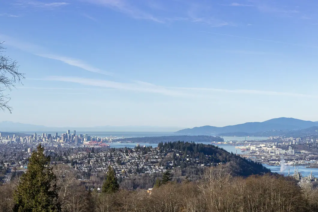
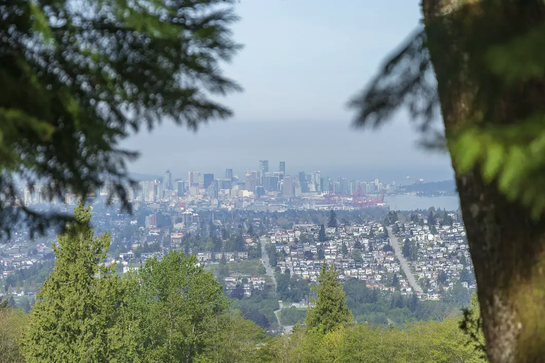
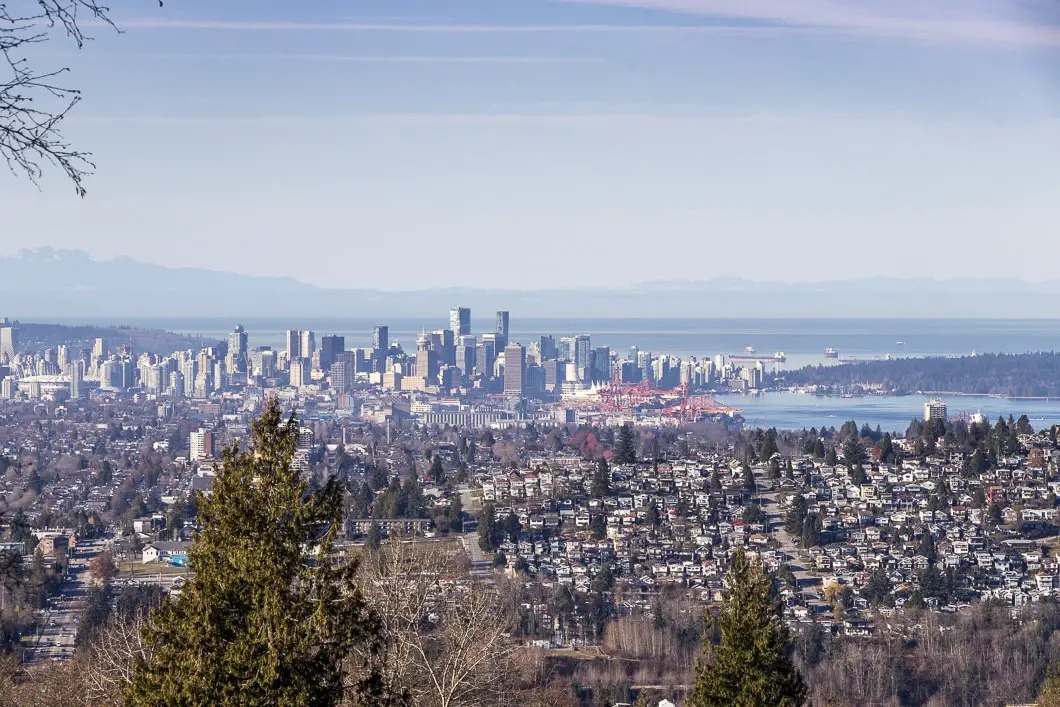
Burnaby Mountain is a popular hiking and mountain biking destination, boasting a large network of trails. With its summit at 366 m elevation, Burnaby Mountain offers great views of downtown Vancouver, the North Shore, the Indian Arm, and the Burrard Inlet.
The Burnaby Mountain Conservation Area, which surrounds the Simon Fraser University campus, has 28 kilometres of hiking trails to explore. With many different trails, a hike at Burnaby Mountain can be adapted for any age group or fitness level. For this reason, it’s a popular place for families.
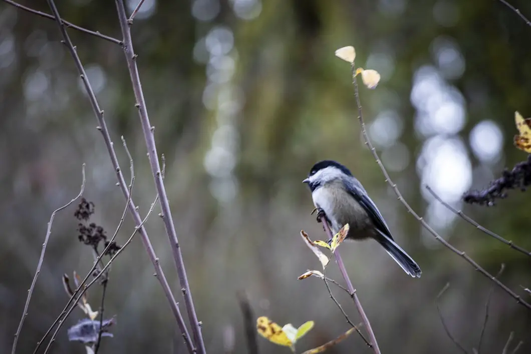
Burnaby Mountain is also home to wildlife, including deer, owls, coyotes, eagles and even the occasional black bear.
The Burnaby Mountain Park area near the Horizons restaurant is the perfect summer spot for a picnic and to watch the sunset over the Pacific. It is also where we will begin the long looping hike described below in this hiking guide.
However, with so many trails to explore within the park, you can choose your own route and don’t need to follow our specific example.
Burnaby Mountain Hike Stats
Rating: Moderate
Distance: 10 km
Net Elevation Change*: o m
Cumulative Gain: ~380 m
Highest Point: 328 m
Time Needed: 3 Hours
Type: Loop
Season: Year-round
Dogs Allowed: Yes, on leash
Est. Driving Time from Vancouver: 30 Minutes
Trailhead Coordinates: 49.283150, -122.933800
*For a better understanding of the stats and difficulty rating, check out the Hiking Guides page for details. Always carry The Essentials and fill out a trip plan.
Burnaby Mountain Video
Here is a 7-minute video of our experience on this hike!
Burnaby Mountain Hike Map and Elevation
Burnaby Mountain
Profile
Burnaby Mountain Hiking Route
There are over 28 km of trails on Burnaby Mountain, and more than one place you can begin. The route described here starts at the main parking area by Horizons Restaurant at Burnaby Mountain Park. The route is a giant loop, which covers the north side of the mountain. Our route covers 10 km, through the forest with views of the Burrard Inlet and Indian Arm. This hike finishes with a steep climb up the Velodrome Trail, which is a popular trail for fitness.
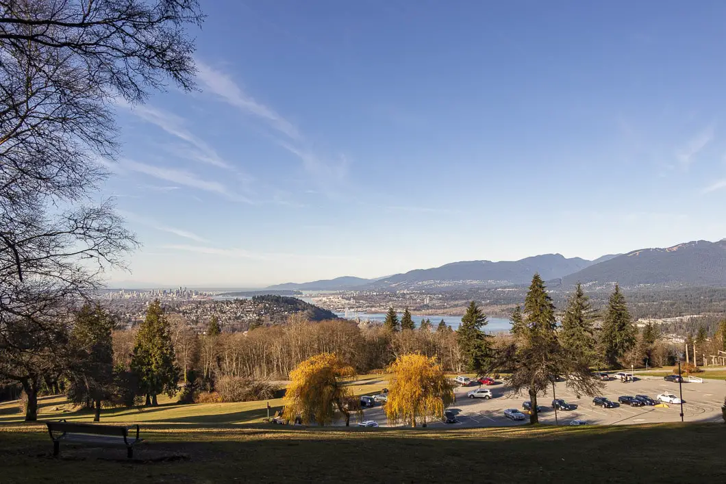
Starting from the large paved parking lot (Directions), head north and walk behind the Horizons restaurant to the fenced lookout area.
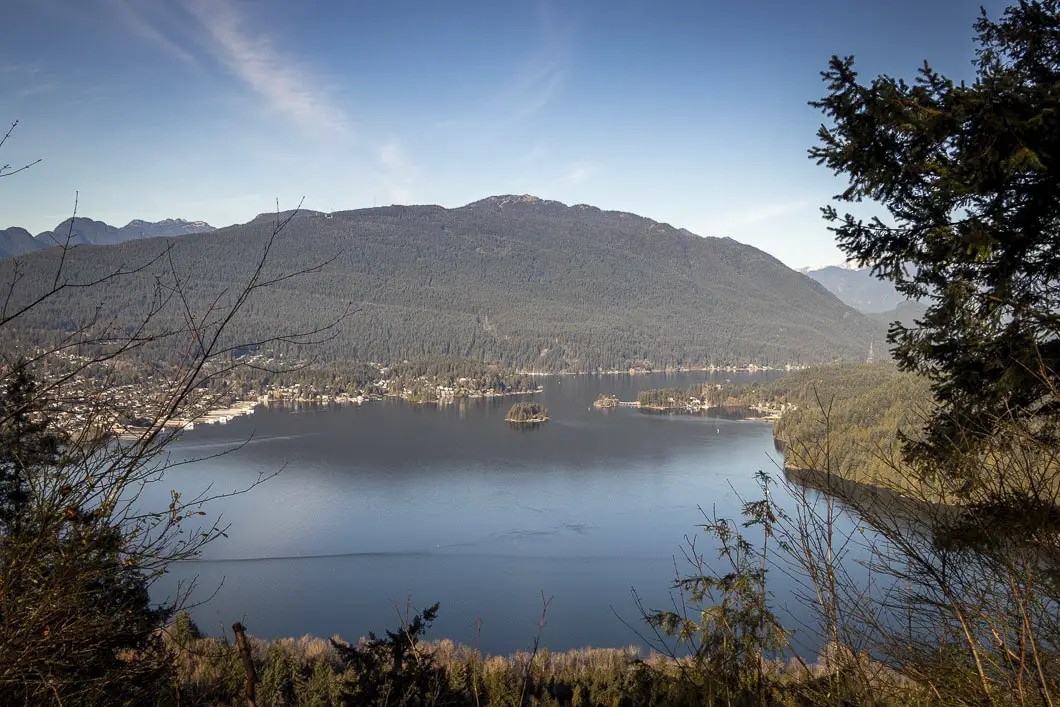
From here, you can look far up the Indian Arm and see Deep Cove (Quarry Rock), Cates Park, Diez Vistas, and the Burrard Inlet. After scoping the view, follow the path along the fence to the east. Follow the path up the hill and behind the playground, keeping the fence on your left.
As you approach the top of the hill, you’ll come to a junction marked for the Trans Canada Trail. Stay left here, following the fence. With the fence on your left-hand side, you’ll come to a water reservoir with a beautiful mural painted on it.
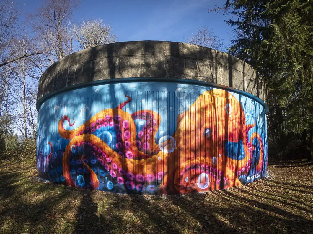
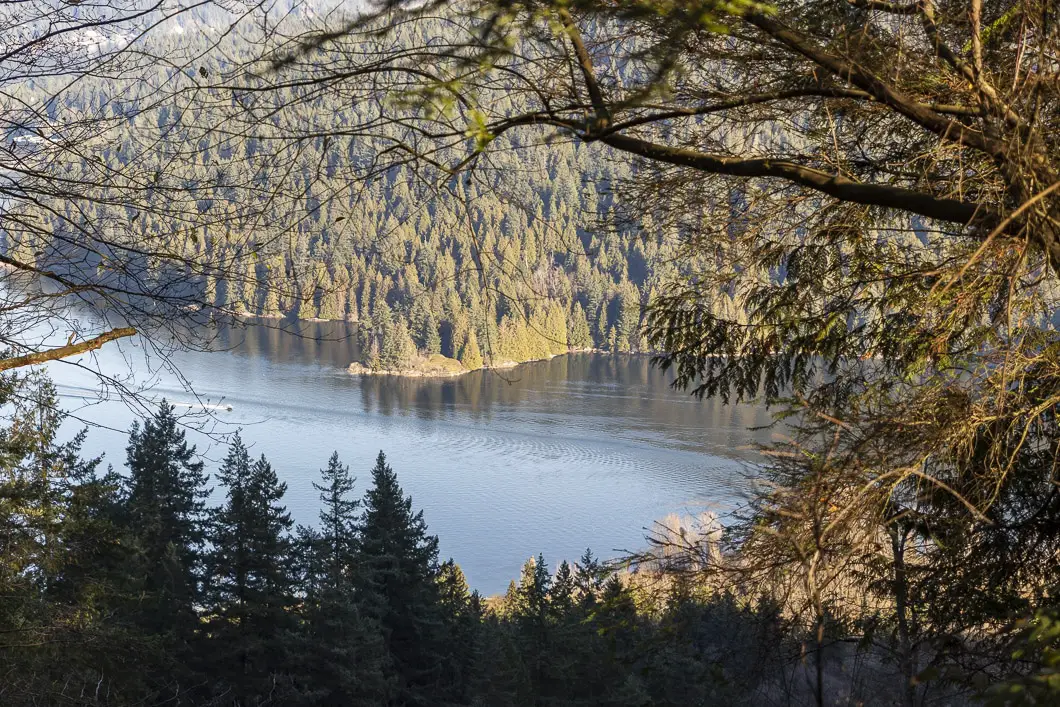
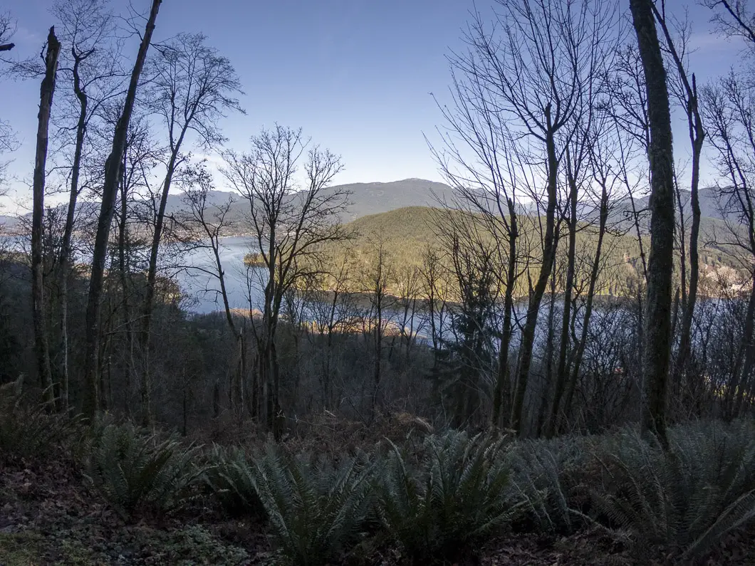
Keep following the wide, gravel path. On your left, you’ll have partial views of the Burrard Inlet through the trees.
As you continue to walk, you’ll come to a junction that has a Burnaby Mountain Conservation Area map. The map indicates your location. Go left, staying on the Trans Canada Trail.
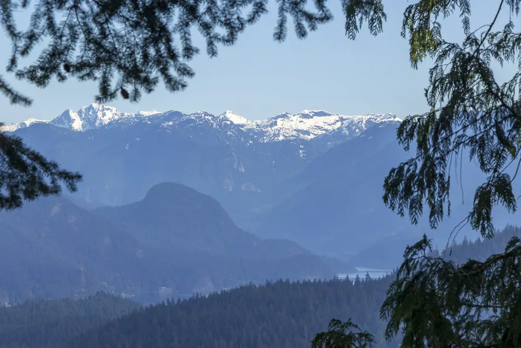
From the junction, the trail starts to drop downhill slightly, and you’ll have views of the Burrard Inlet to your left through the trees. You can also see Grouse Mountain, Crown Mountain, Seymour Mountain, and much of the North Shore as well. The trail is wide, groomed, and free of tree roots. The Simon Fraser University campus will be up on your right, just out of view.
About 10 minutes from the previous map, the path will climb back up. There will be another junction with another map. You’ll see part of the SFU campus ahead of you on the road. Don’t go up towards the campus, and instead stay left at the junction to stay on the trail.
The trail remains mostly flat with some ups and downs. After a few minutes, you’ll pass over a wooden bridge that takes you over a stream.
You’ll come to another bridge and then the trail will climb up. There is a railing on the left and the trail zig-zags before beginning to decline again.
Some views will open up to your left. You’ll be able to see part of Belcarra Park with the tip of Admiralty Point at the Third Narrows of the Burrard Inlet. You can still see over to the North Shore, but now you’re closer to the Port Moody Arm. Boats can be seen coming in and out of the harbour.
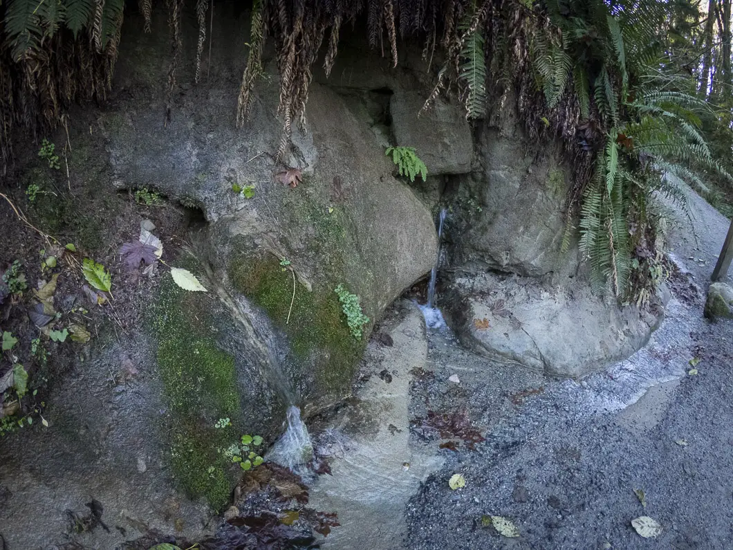
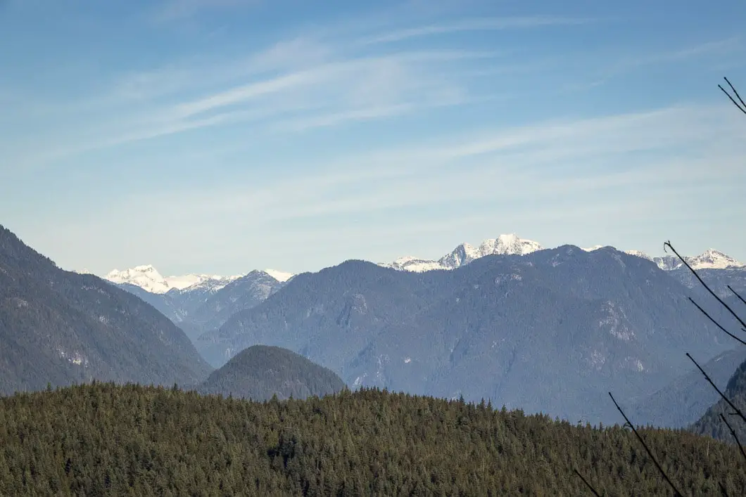
A trained eye can spot peaks like Mamquam Mountain, Seed Peak, and Mount Bishop across the water.
You’ll pass by another junction, this one marked for Cardiac Hill. Stay left, heading downhill.
Within five to ten minutes of the Cardiac Hill junction, the trail drops down and hits a junction with Mel’s Trail. Again, stay left. In another five minutes, you’ll come out at the bottom of the mountain under power lines.
At the bottom is a T-intersection, and you’ll find another park map here. Go left, towards the water. A sign at the junction has it marked as ‘Trans Canada Trail East’, and the trail drops downhill.
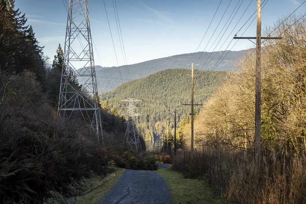
You’ll see the Burrard Inlet and Belcarra area ahead of you. Keep following the path down in between the power lines. As you start to descend the hill, you’ll see a junction on your right for a trail called Dead Moped. Ignore that trail and keep straight.
A little further down the trail, you’ll come to another junction where it starts to reach one of the power line towers. A sign here says the trail is closed due to hazardous terrain. Near the sign, the trail veers to the right and you’ll find where it’s marked for the Trans Canada Trail.
Go right, following the path down. The trail drops steeply at this point.
The Suncor Energy Refinery will be on your right as you drop down the trail. After five minutes, the trail will come to yet another junction. Go left where it is marked for the Cougar Creek Trail. The Cougar Creek Trail will connect you to the Barnet Trail and to the bike park.
As you follow the Barnet Trail back west along the lower portion of Burnaby Mountain, the Barnet Highway will be to your right.
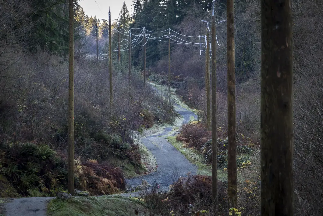
You’ll pass over a wooden bridge. Then you’ll climb up a short but steep hill and you will keep following the wide gravel trail. This stretch is the least exciting part of the hike until you reach the bike park.
Once you get to the mountain bike park, you’ll see the huge paved parking lot. Walk across to the far end of the parking lot and you will see a park map and wooden bridge where the trail continues back into the trees.
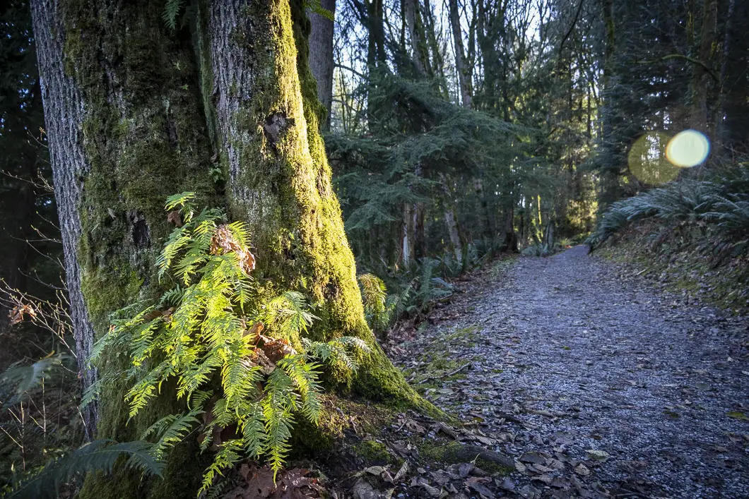
You’ll see a trail sign for the Mountain Air Trail. The trail here becomes narrower and rockier and the forest becomes thicker.
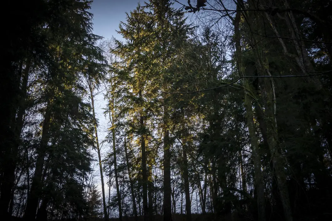
As you walk along the trail, you’ll pass by several interpretive signs. The signs have information about the Sitka spruce, black cottonwood, bigleaf maple, western hemlock, western redcedar, and Douglas fir trees in the area.
Download the PDF version of this guide for offline use
Velodrome Trail
The trail meanders up and down through this scenic stretch of trail for about fifteen minutes. You will come out at the junction for the popular Velodrome Trail. Go left, and you’ll begin climbing up the many, many stairs. There are about 500 stairs in total to reach the top, and this is the most strenuous part of the hike. The Velodrome Trail covers about 200 m of elevation gain if starting from the parking area off the Barnet Highway. Starting from where we join the trail on this loop, the trail climbs about 100 m elevation to reach the top of the stairs.
Many people park at the Harry Jerome Sports Centre off the Barnet Highway and hike up and down these stairs for exercise. The Velodrome Trail is sometimes considered ‘Burnaby’s Grouse Grind’, though it is not nearly as difficult or long as the Grouse Grind.
As you make your way up the Velodrome Trail, you’ll get several great vantage points out into the Indian Arm.
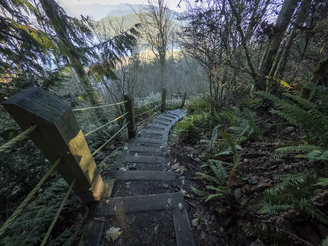
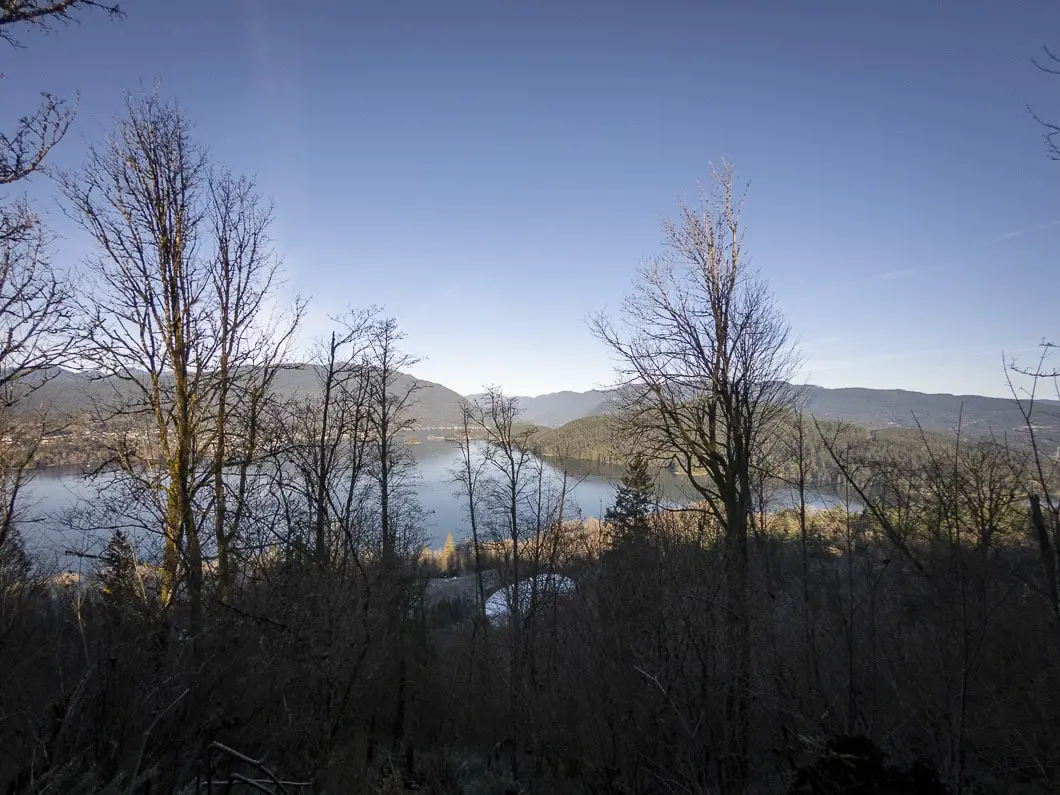
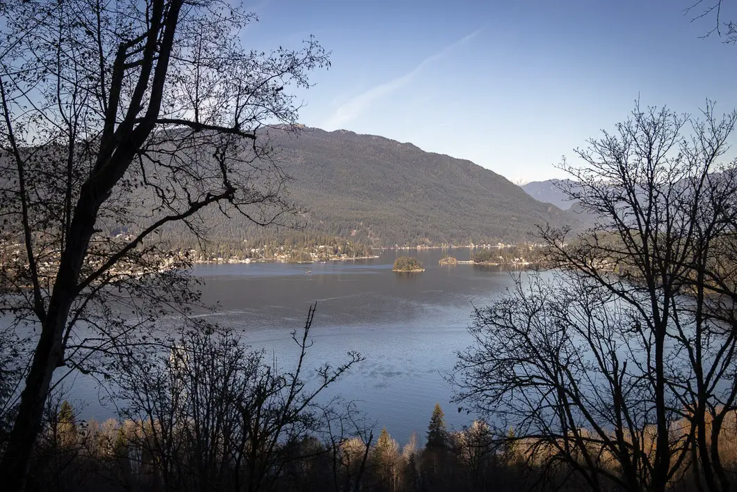
When you reach the top of the trail, go left onto the Pandora Trail, carrying uphill for a final ten-minute push back to the parking lot.
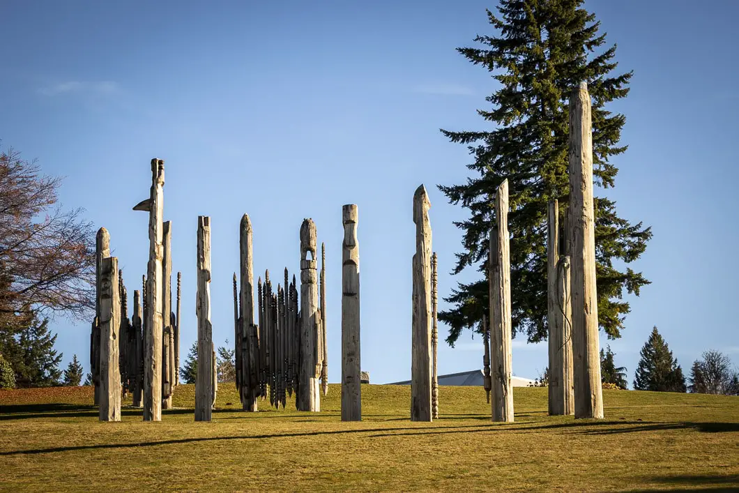
You’ll emerge from the trees into the open field below Horizons Restaurant and the totems.
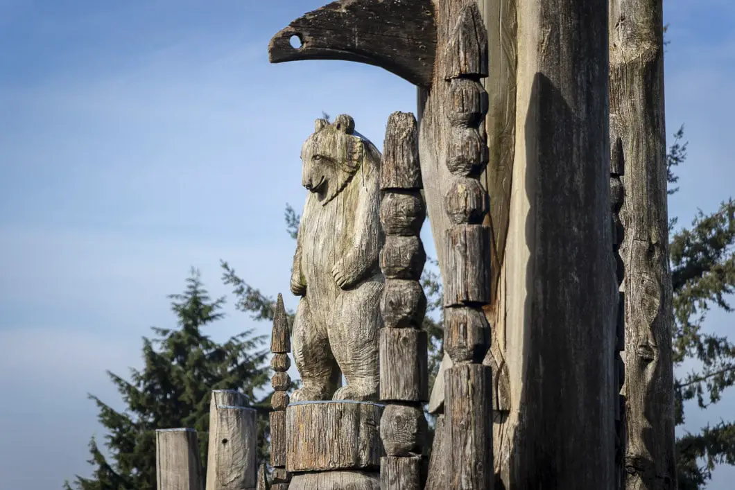
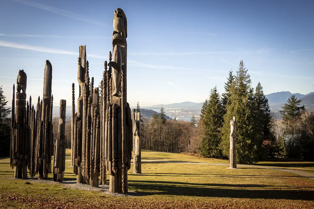
Towering over the distant city are the Kamui Mintara (Playground of the Gods) sculptures. At sunset, these carved wooden poles—more than a dozen in all—are etched dramatically against the sky.
Created by Japanese sculptors Nuburi Toko and his son, Shusei, these works of art commemorate the goodwill between Burnaby and its sister city, Kushiro, Japan. [source]
From here, make the short walk back to your car, and enjoy a picnic at the beautiful lookout area near the parking lot as a reward for your trek.
Help Us Create New Hiking Guides!
Advertising revenue is falling quickly across the internet, and independently-run sites like Outdoor Vancouver are hit hardest by it. We are committed to keeping Outdoor Vancouver free and independent, but we need to find other ways to continue operating this site.
If you like our hiking guides and would like to help, please consider making a contribution with the PayPal or Patreon links below – any amount helps! There is also a list of other ways you can support Outdoor Vancouver here!
Becoming a Patron through Patreon unlocks membership benefits and rewards. Learn More.
A one-time donation through PayPal helps with monthly website hosting costs.
Directions and Parking
From Vancouver, take Hastings Street eastbound. Stay on Hastings Street, being careful not to veer onto the Barnet Highway.
As you climb the road up to SFU, Hastings will turn into Burnaby Mountain Road. Drive up the road, turning left onto Centennial Way, where there are signs for Burnaby Mountain Conservation Area. Follow Centennial Way to the end of the road, into the parking lot.
Google Map directions are here.
Other great hikes nearby
- Diez Vistas (moderate)
- Admiralty Point (easy)
- Burnaby Lake (coming soon)
- View all hiking guides here


