Burnett Falls – Table of Contents
- Hike Introduction
- Hike Statistics
- Burnett Falls Video
- Map and Elevation
- Hiking Route Description
- Directions and Parking
- Free PDF Download
- 360° Photosphere
Burnett Falls Hike Intro
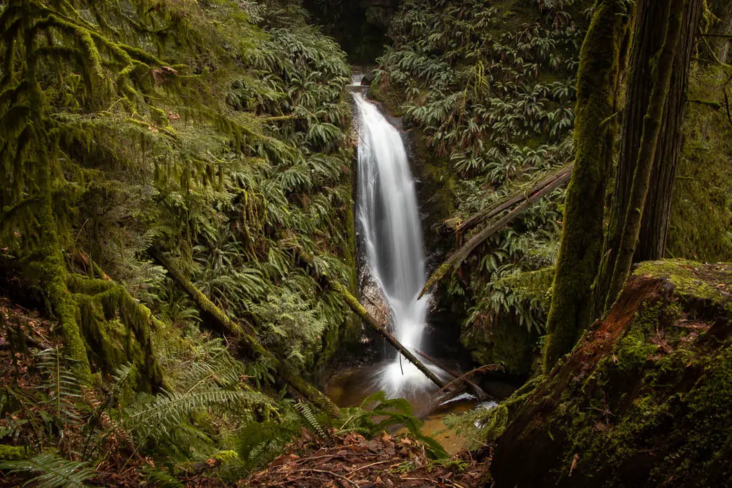
Burnett Falls is a short and easy hike in Sechelt, close to Porpoise Bay Provincial Park.
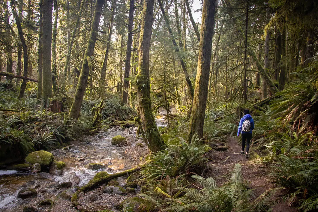
The route from the parking area to the waterfall is easy to follow and has a gradual incline. The waterfall can be reached in about 15 minutes or less, and the trail is suitable for young children.
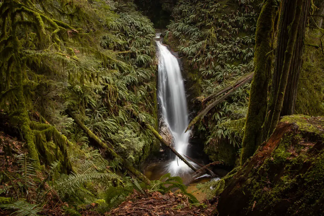
There is a lookout area directly across Burnett Creek from the waterfall. The viewpoint provides a close-up and unobstructed view of the beautiful falls.
Late winter and early spring are usually the best time of year to visit Burnett Falls. Late in the summer, the flow of water over the falls will be limited. However, the forest is scenic, and this short trail can be hiked year-round.
If you are looking for a short and easy hike, with a nice reward at the end, Burnett Falls is the perfect spot!
Burnett Falls Hike Stats
Rating: Easy
Distance: 1 km
Net Elevation Change*: 45 m
Highest Point: 74 m
Time Needed: 30 minutes
Type: Out-and-back
Season: Year-round
Dogs Allowed: Yes, on leash
Est. Driving Time from Vancouver: 3 hours
Trailhead Coordinates: 49.500774, -123.740656
*For a better understanding of the stats and difficulty rating, check out the Hiking Guides page for details. Always carry The Essentials and fill out a trip plan.
Burnett Falls Video
Here is a 1-minute video of our experience on this hike!
Burnett Falls Hike Map and Elevation
Burnett Falls
Profile
Burnett Falls Hiking Route
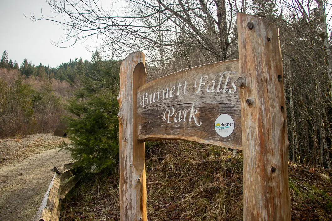
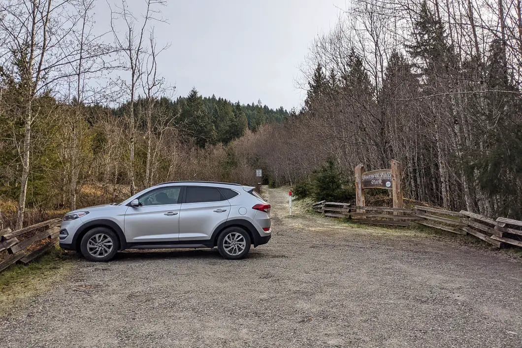
From the parking lot area, there is a large sign for Burnett Falls Park. Park here, and begin walking up the wide, gravel trail.
From the parking area, the trail carries uphill gradually. The path is a wide, well-groomed double track trail. As you begin walking up the path, you will pass a picnic bench on your left.
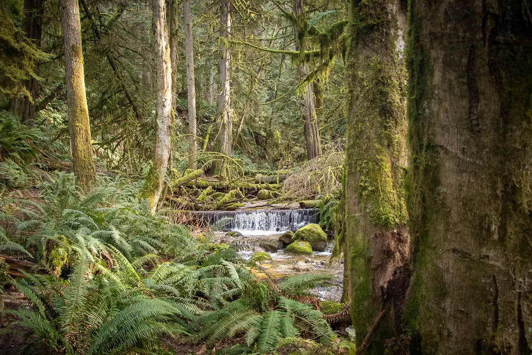
After passing the bench, the trail will dip into the dense, scenic forest.
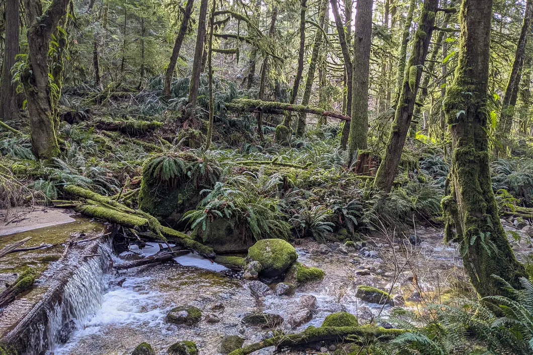
Burnett Creek will be on your right. There is a worn path down along the side of the creek. You can walk down along the creek, but to reach the lookout of Burnett Falls, stay on the wider, upper trail. It will only take about 10 – 15 minutes to reach the waterfall.
Once you reach the lookout, you will have a perfect view of Burnett Falls. There is a wooden bench here, where you can relax and soak in the view.
When ready, return to the parking lot along the same path.
Download the PDF version of this guide for offline use
Directions and Parking
From Langdale, take the Sunshine Coast Highway north.
Once you reach Sechelt, turn right onto Xenichen Ave. Turn right onto Porpoise Bay Road, which will become Sechelt Inlet Drive. After a few minutes, turn right onto Burnett Road.
Park at the end of the road near the large park sign. Google Map directions are here.
Other great hikes in this area
- Smuggler Cove (easy)
- Pender Hill (easy)
- Mount Elphinstone (moderate)
- View all hiking guides here


