Capilano River – Table of Contents
- Hike Introduction
- Hike Statistics
- Capilano River Video
- Map and Elevation
- Hiking Route Description
- Directions and Parking
- Free PDF Download
- 360° Photosphere
Capilano River Hike Intro
Capilano River Regional Park in North Vancouver is one of Metro Vancouver’s oldest parks. The park boasts 26 km of walking trails, the incredible Capilano Canyon, the Cleveland Dam, the Capilano River, and a salmon hatchery, among other highlights.
The route described in this guide will take us along a roughly 3.5 km, 1.5-hour loop which hits on all these attractions, and more. If you have more time available, there are plenty of great trails within the park you can take to extend the length of the hike.
Capilano River Regional Park is popular for hiking, fishing, and even kayaking. It’s hard to call Capilano Park a hidden gem since it sees many visitors every year. But due to its proximity to the Grouse Grind and the Capilano Suspension Bridge, its beautiful trails are probably not explored as often as they should be.
This is a terrific hike to leave for a rainy day when views in the mountains are obscured. The cool canyon is also a refreshing place to walk in the dead heat of summer as the thick tree canopy provides plenty of shade and a cool temperature.
From the vertical cliff walls of the impressive canyon to the swirling whitewater of the river, Capilano Park is one of Vancouver’s most surreal natural areas.
For those who aren’t aware, you cannot access the nearby Capilano Suspension Bridge from Capilano River Park. The suspension bridge is a private park which you must pay to enter.
Capilano River Hike Stats
Rating: Easy
Distance: 3.5 km
Net Elevation Change*: 0 m
Highest Point: 160 m
Time Needed: 1.5 Hours
Type: Loop
Season: Year-round
Dogs Allowed: Yes, on leash
Est. Driving Time from Vancouver: 30 Minutes
Trailhead Coordinates: 49.359209, -123.107537
*For a better understanding of the stats and difficulty rating, check out the Hiking Guides page for details. Always carry The Essentials and fill out a trip plan.
Capilano Park Video
Here is a 5-minute video of our experience on this hike!
Capilano River Hike Map and Elevation
Capilano River
Profile
Capilano Canyon Hiking Route
With 26 km of hiking trails within Capilano River Park, you can look at a map and choose your own route depending on how much time you have to explore.
The route outlined below is a nice loop that takes you to most of the park’s major attractions. The loop is roughly as follows:
- Over the top of the Cleveland Dam
- Down the Giant Fir Trail to Grandpa Capilano (a huge Douglas fir tree)
- To the Second Canyon Viewpoint
- Over the Cable Pool Bridge
- To the Cable Pool lookout
- To the salmon hatchery
- Up the Palisades trail to the upper Dam viewpoint
- Back to the parking lot
To start, on the west side of the Cleveland Dam parking lot (directions) you’ll find a park map where there should be park brochures available to take. Bathrooms are to the south, just over the service road in the grassy area.
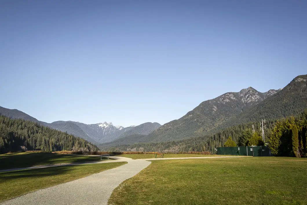
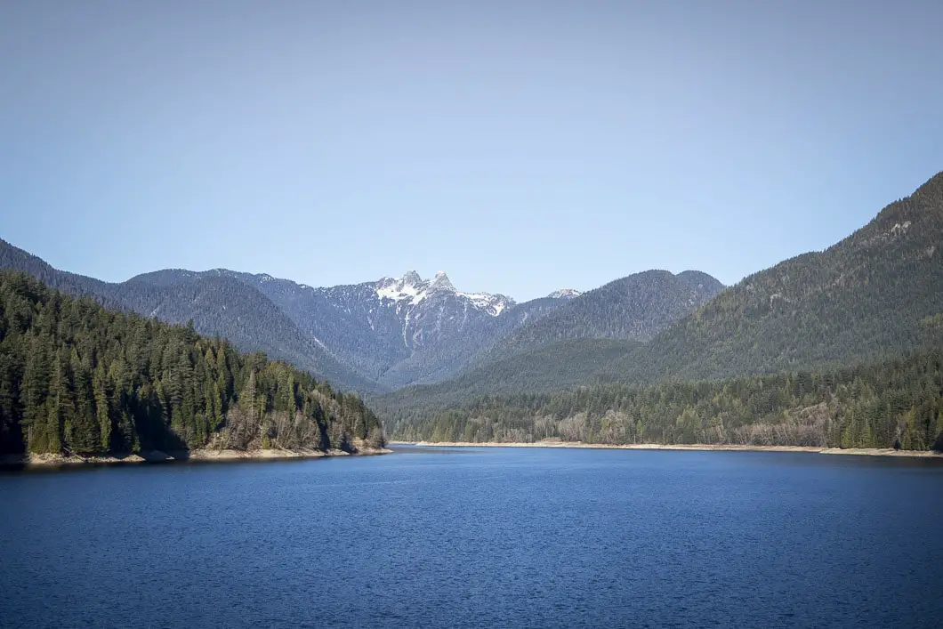
You can read the map to get an understanding of the many trails within the park and to get your general bearings. Head up the concrete stairs to the large field overlooking the man-made Capilano Lake. The Capilano reservoir supplies about 40% of Metro Vancouver’s drinking water.
“Capilano reservoir is 5.8 kilometers long, 800 meters wide, and 75 meters deep and can store 57.9 billion litres of water.” [source]
Here, you have a terrific view of The Lions standing guard over Vancouver. To the north, you can also see Grouse Mountain and may be able to spot the gondola going up or down the mountain.
Follow the path as it drops down to the road, and you’ll find some interpretive signs about the Cleveland Dam and history of the park. You can then walk towards the top of the dam itself, along the paved road.
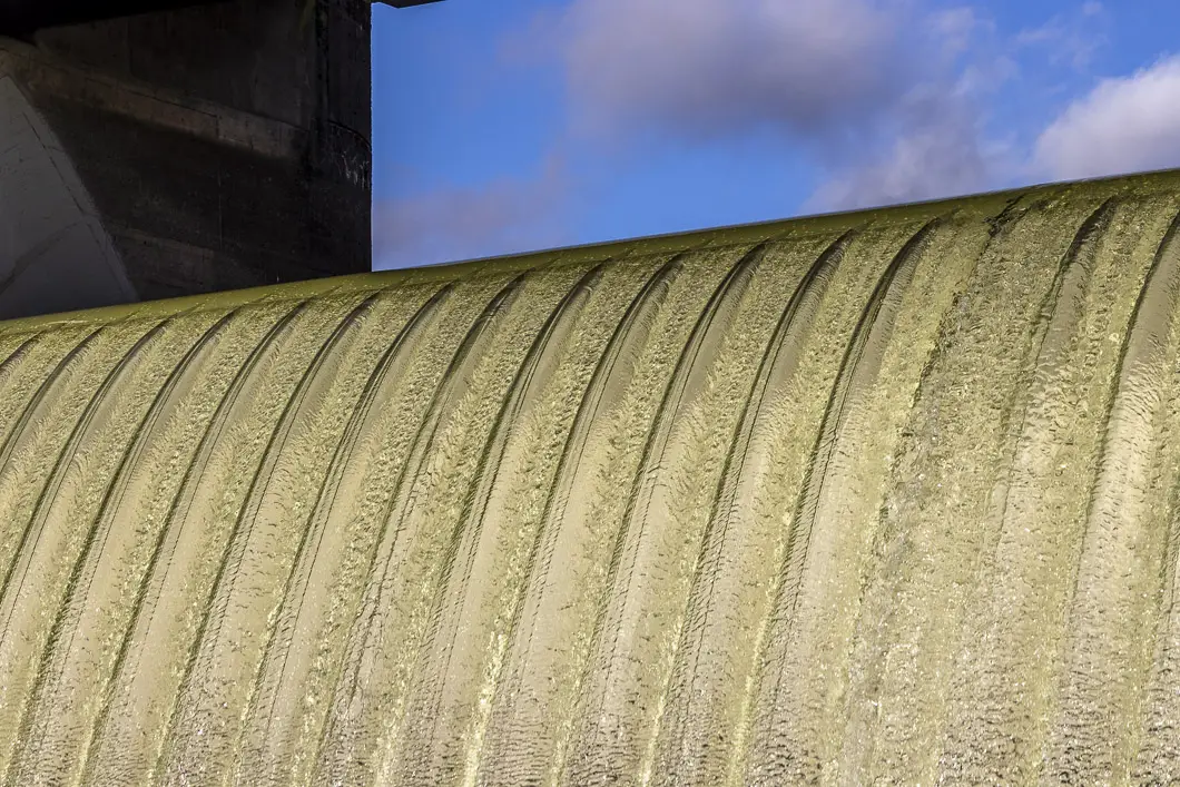
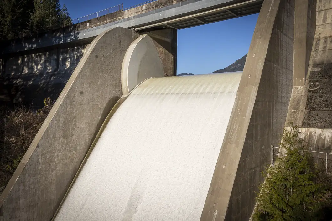
Standing from the top of the dam, you can look directly down the impressive spillway and into the incredible Capilano Canyon. While man-made, it is a truly impressive waterfall, plunging 97 meters. The flow of the water can vary depending on the level of Capilano Lake but is always an impressive sight.
Cross over the dam, and you’ll see a few trails emerging to the left. The trail on the right is the Baden-Powell Trail.
Stay on the leftmost trail, which is a wide, gravel path that begins to descend. Within a minute, you will come to another junction where the trail narrows and splits. The trail on the right is the Lower Shinglebolt Trail, and on the left is the Trans Canada Trail/ Capilano Pacific Trail. Go left, onto the Trans Canada Trail, and continue to follow it downhill.
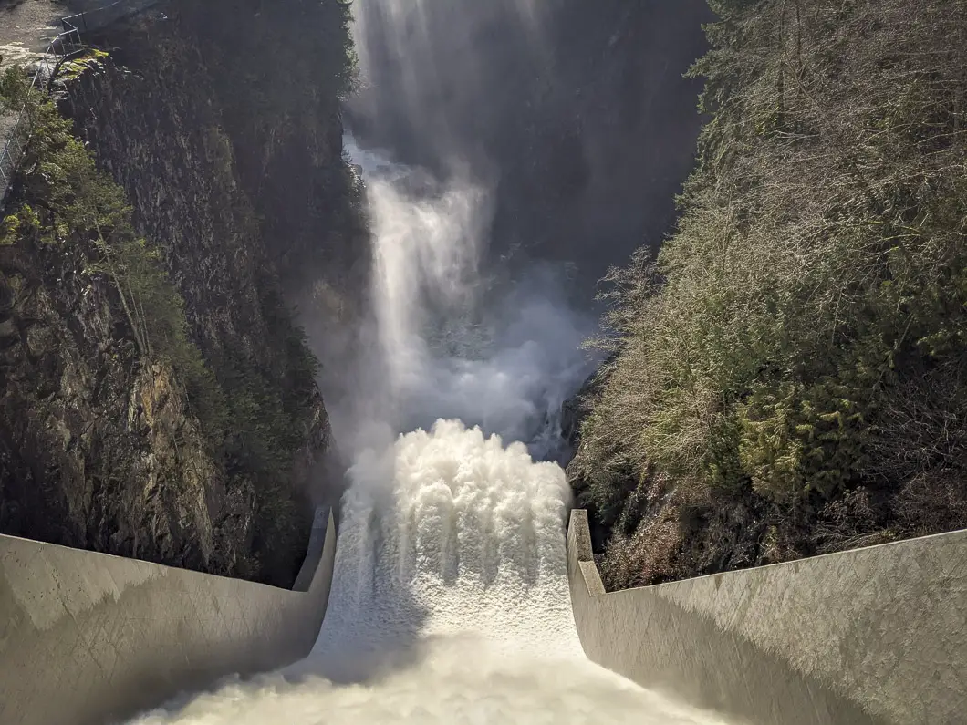
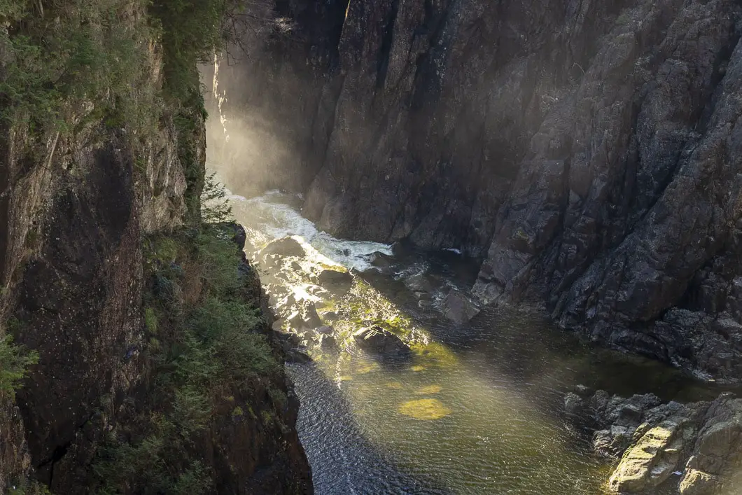
You’ll hear the water pouring into the canyon through the thick forest on your left.
Walking down the hill for about five minutes, you’ll come to a junction for the Capilano-Pacific Trail on your right. From here, it’s 5.5 kilometers to reach Ambleside Park and its beach. We’ll leave that for another day, and this time we’ll stay straight continuing down the wide dirt path.
Shortly, you will come to a junction on your left marked as the Giant Fir Trail. Go left onto this trail, and down a series of wooden steps.
As you drop down the trail and round a corner, you’ll see ‘Grandpa Capilano’ on your left. Grandpa Capilano is an 800-year-old Douglas fir tree that reaches over 200 feet high and is 2.5 meters in diameter. There is an interpretive sign here which explains the importance of these incredible trees for the ecosystem.
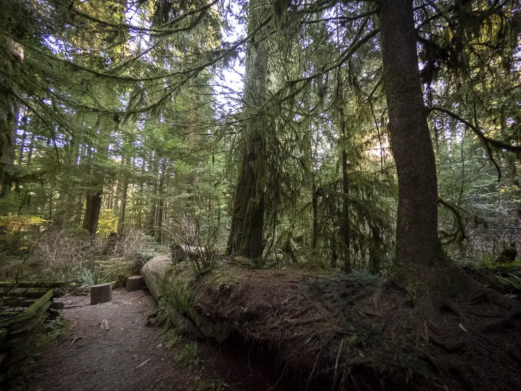
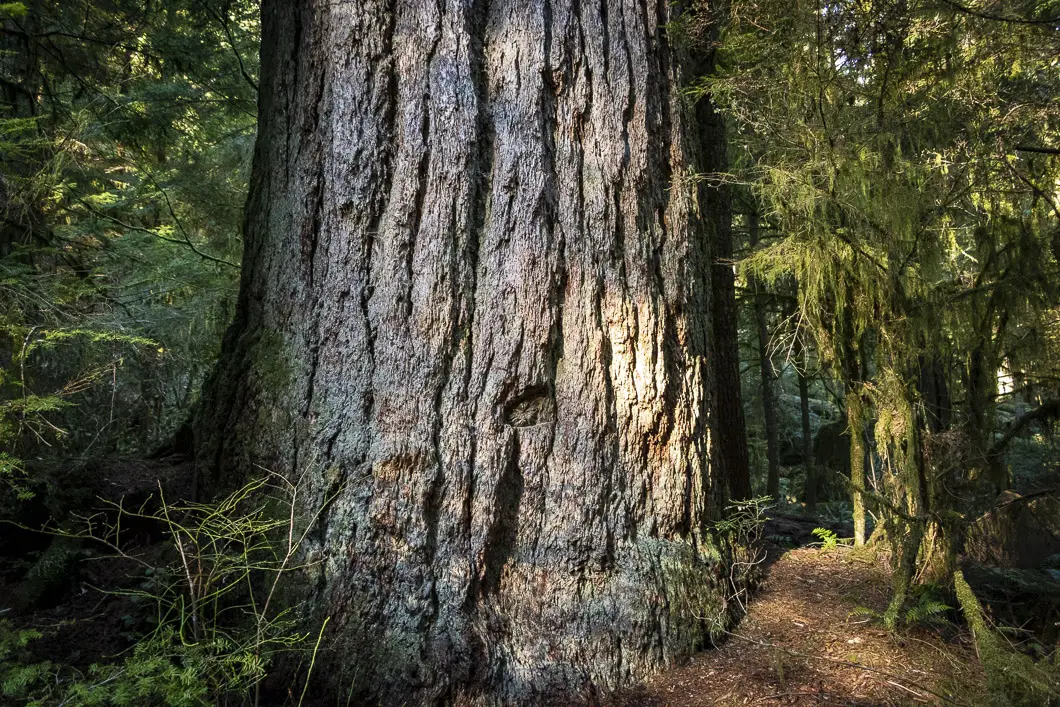
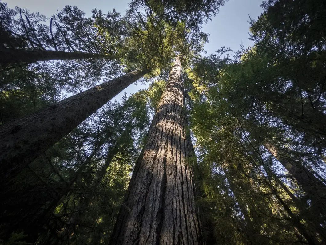
After marveling at Grandpa Capilano, follow the Giant Fir Trail a little further down and to the left. The trail will begin heading upstream and you will soon reach a clearing with a nice vantage point of two more huge fir trees. They’re not quite as big as Grandpa Capilano, but are just as awe-inspiring.
Follow the trail as it drops to a junction. You’ll see a sign marked for the Second Canyon Viewpoint. Go left here.
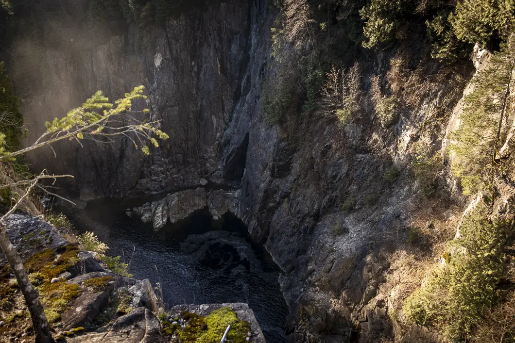
You’ll walk onto a wooden platform with a view directly into the Capilano Canyon and onto the lower portion of the Cleveland Dam. The mist from the falls blows into the canyon, and if it’s falling with strength will reach you on the platform.
The platform has several interpretive signs with information about the history of the Cleveland Dam and also about the species of salmon which migrate here (steelhead, coho, chinook). You can also see the Capilano Salmon Hatchery across the river.
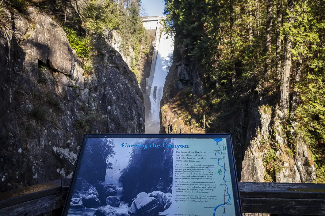
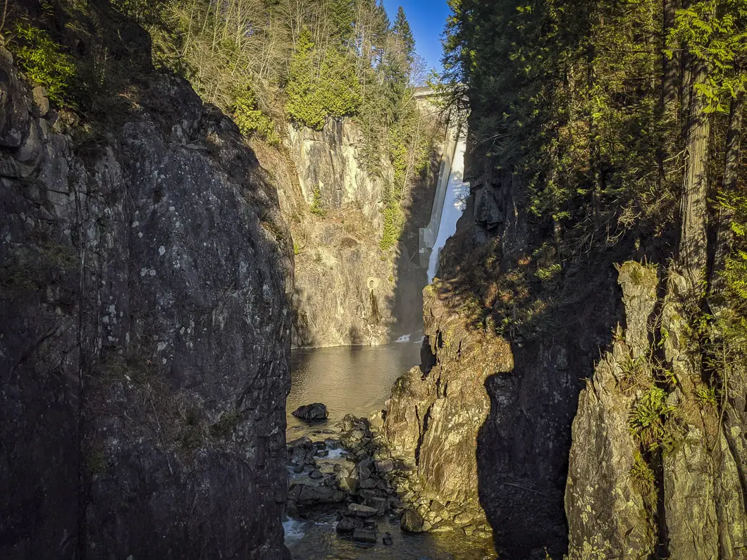
After you’ve enjoyed the view, double back towards the previous junction. This time stay to the left, following the path downstream alongside the river. This is the Second Canyon Viewpoint Trail.
You’ll also stay to the left when you pass by Pipeline Trail junction, keeping the river on your left.
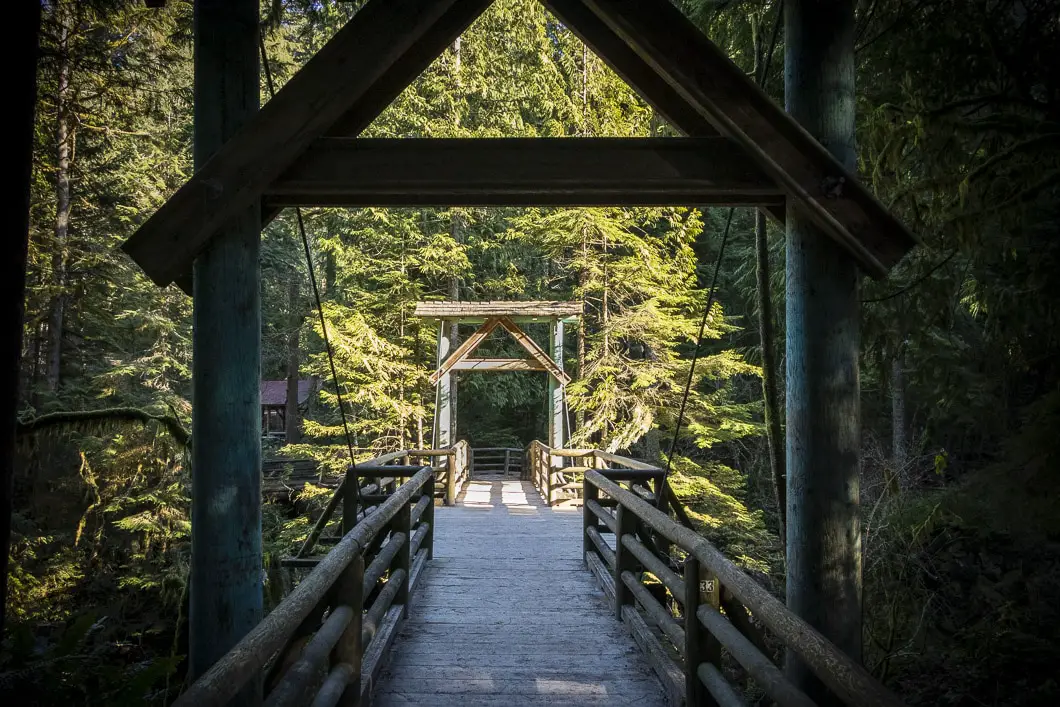
In a few minutes, you will see the Cable Pool Bridge. Cross over the bridge, which provides another perspective into the beautiful canyon.
Across the bridge, you can head right to do a quick detour to a wooden platform overlooking Cable Pool. Follow the trail and you’ll come to an archway, which is engraved ‘Cable Pool’. You can look upstream to see the Cable Pool Bridge and look downstream further into the canyon. This is a popular fishing spot.
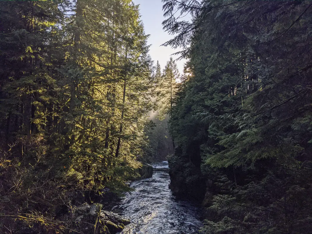
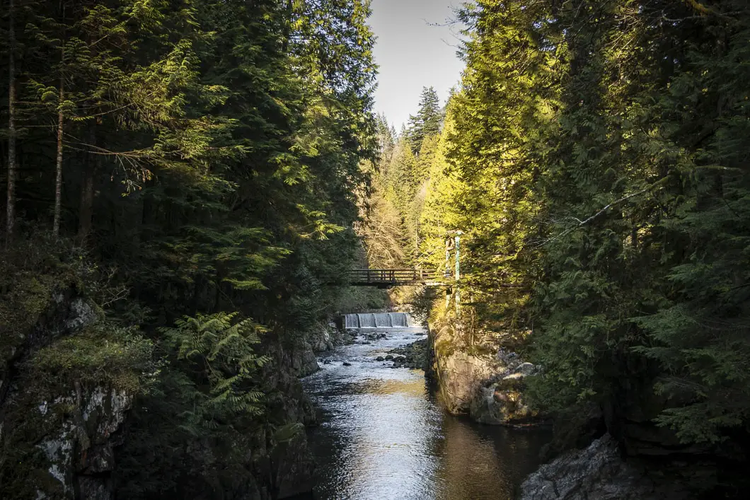
Cool fact: “The river was originally called Homulchesan, as was the native village at its mouth. It was renamed later after the great Squamish Chief Kia’palano, who died about 1875 and was buried on the Mission Reserve in North Vancouver. ” [Source]
If you want to extend your hike, you can keep following the Coho Loop Trail to the south and loop back over the Pipeline Bridge. Or, you can carry even further south along the Chinook Trail before doubling back.
Today, we’ll head back towards the Cable Pool Bridge, and just beyond it to the Capilano Salmon Hatchery.
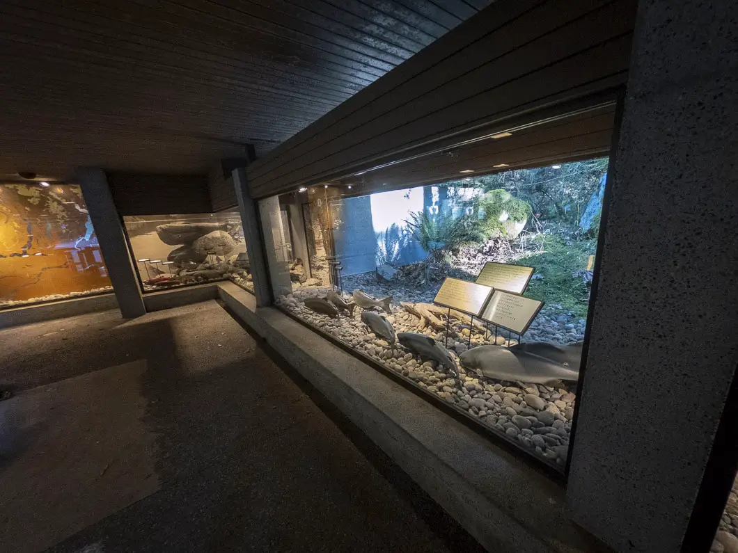
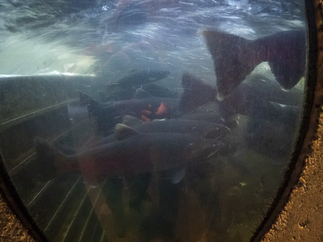
The salmon hatchery is open to the public and is incredibly informative. Admission is free, and this is a great spot to take kids. There is a fish ladder and depending on the time of year you may get to see some adult salmon in action.
You can easily spend 15-30 minutes walking around the hatchery, reading the information, seeing the juvenile salmon, and enjoying a close-up view of the Capilano River.
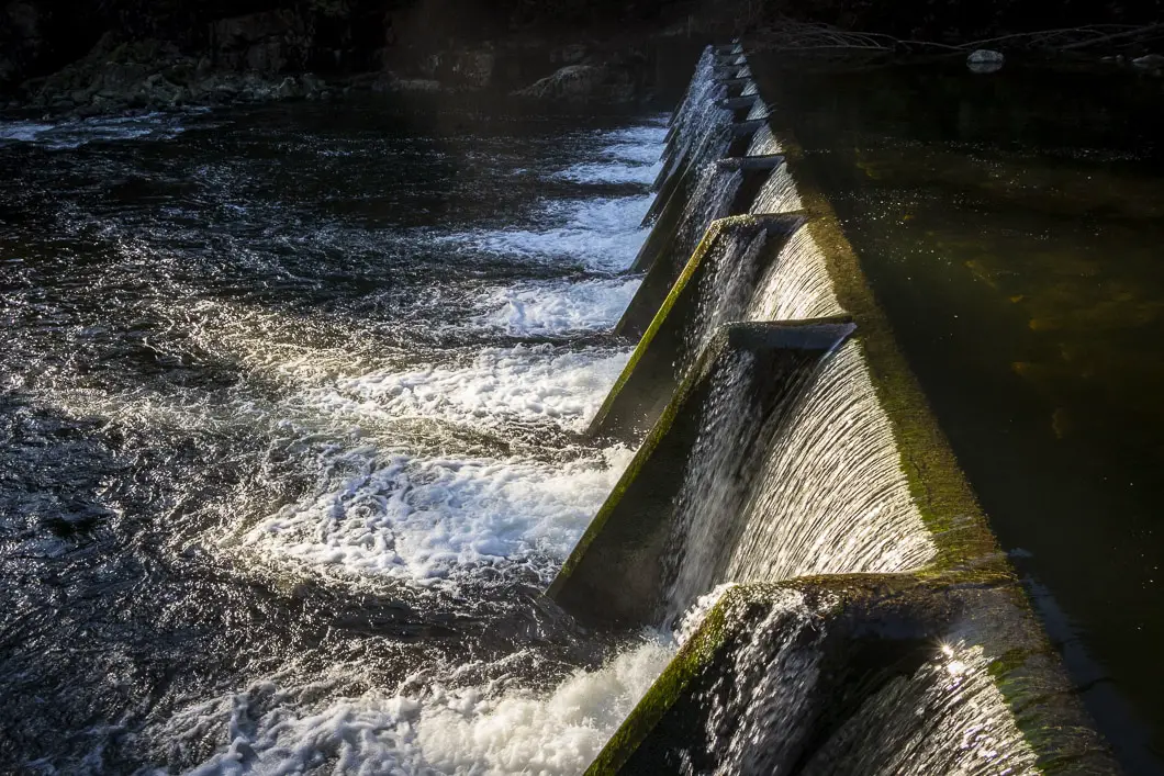
When you’re ready to move on from the hatchery, find the Palisades Trail for the final stretch of this adventure. The trail begins between the hatchery parking area and entrance, and begins climbing up a set of stairs.
At the top of the stairs, you will reach a gravel road. The stairs continue on the other side of the road, but if you go left onto the road, you can take a different route back to the Cleveland Dam parking lot. This route will give you one final unique view of the dam and canyon, so go left onto the road.
Within a few minutes of steady uphill walking, you’ll come to a large platform area where you can get an up-close view of the dam and down into the canyon below.
After viewing the dam, head back a short way. Along the dam’s retaining wall you will find a flight of stairs on your left. Take the stairs back to the top of the dam and to the parking lot where we began the hike.
The Cleveland Dam area has picnic tables and large grassy fields, so having a picnic might be a great way to end your hike!
Download the PDF version of this guide for offline use
Directions and Parking
From the Upper Levels Highway (HWY #1), take exit #14, heading north onto Capilano Road. Capilano Road will turn into Nancy Green Way. Follow Nancy Green Way past the Capilano Suspension Bridge, passed the signs for the salmon hatchery, and turn left into the parking lot which is clearly signed for the Cleveland Dam.
Google Map directions are here.
Other great hikes in this area
- Grouse Grind (difficult)
- BCMC Trail (difficult)
- Mount Fromme(moderate)
- View all hiking guides here


Cristi S
great hiking guide (as usual)…
try the Capilano Pacific Trail when you have time. We used to start from the lake, walk to the Ambleside beach and back. It’s just like another easy walk in a park, but you go through wonderful small bridges, nice parks, beyond the suspension bridge area, quiet residential areas from West Van, to the sea.
It’s very nice and peaceful, all in the heart of the city.