Cliff Falls, Kanaka Creek – Table of Contents
- Hike Introduction
- Hike Statistics
- Cliff Falls Video
- Map and Elevation
- Hiking Route Description
- Directions and Parking
- Free PDF Download
- 360° Photosphere
Kanaka Creek, Cliff Falls Hike Intro
Cliff Falls in Kanaka Creek Regional Park, Maple Ridge, is a great place for a weekend outing with the family. On sunny and rainy days alike, Kanaka Creek is a peaceful area filled with easy walking trails.
Kanaka Creek runs through a beautiful forest of Sitka spruce, Douglas fir, and moss-covered maple and Western red cedar trees. The Cliff Falls waterfall is the main attraction to the park. Swimming, picnicking, horseback riding, trail running and salmon viewing also bring many to the 400-hectare park.
Kanaka Creek begins near Blue Mountain and flows southwest to the Fraser River. The lower half of Kanaka Creek sits within the boundaries of the 12-kilometer long park.
There are two main entrances to Kanaka Creek Park. One at the Fraser Riverfront and one at Cliff Falls. The riverfront area is great for biking along the dike and is a kayak and boat launch area.
The Cliff Falls area is described in the hiking route below. The trail starts a few hundred meters from Cliff Falls itself where Kanaka Creek carves its way through a sandstone canyon. The trail then carries through the forest and alongside Kanaka Creek to the Bell-Irving salmon hatchery.
The description of Kanaka Creek on the Metro Vancouver pamphlet sums up the park perfectly:
…a burbling creek descends through rich mountain forests, majestic sandstone canyons and impressive falls, finally ending in a peaceful estuary…
Kanaka Creek Hike Stats
Rating: Easy
Distance: 4 km
Net Elevation Change*: Minimal
Highest Point: 120 m
Time Needed: 1.5 Hours
Type: Partial loop
Season: Year-round
Dogs Allowed: Yes, on leash
Driving Time from Vancouver: 1 Hour
Trailhead Coordinates: 49.213063, -122.526447
*For a better understanding of the stats and difficulty rating, check out the Hiking Guides page for details. Always carry The Essentials and fill out a trip plan.
Kanaka Creek Video
Here is a 2-minute video of our experience on this hike!
Kanaka Creek Hike Map and Elevation
Kanaka Creek
Profile
Kanaka Creek Hiking Route
From the parking lot (directions), there is a gravel path beside the soccer field. Follow the path and you will come to a large map of the park and information board. Use the map to get a sense of the trails and read about the park. From the map, follow the trail down a couple meters and you will come to a junction. Cliff Falls is straight ahead, 100 m away. The hatchery trail goes to the left.
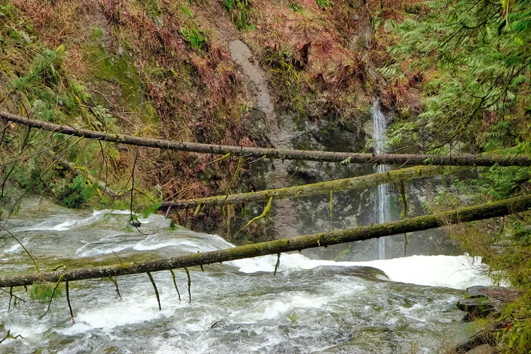
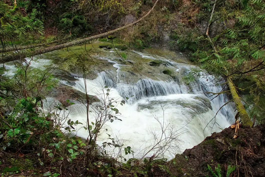
Follow the wide, groomed trail down towards Cliff Falls. You will come to a bridge crossing over the north arm of Kanaka Creek. Before you cross the bridge, there is a short detour to your right which gives you a nice overlook onto the lower Cliff Falls and a portion of Kanaka Creek. You can see the water rushing from the bottom of Cliff Falls, and where the two arms of Kanaka Creek join back together at this point.
There is no picture-perfect vantage point on the main trails from which to see Cliff Falls cascading down. There is this viewpoint, and a close-up view just above the falls, which we will walk to next.
Cross over the bridge, and you will find a large picnic area with tables, benches, fire pit, and outhouse. Immediately across the bridge, follow the gravel path to the right. Walk down a few wooden stairs and you will come to a viewpoint of the upper Cliff Falls. If the water level is high, the neat features carved into the sandstone may be partially hidden. But when the water level is lower after the spring runoff, you can really see some neat features where the sandstone canyon has eroded over time.

Cool fact: “Hawaiian labourers, known as “kanakas” in their native language, were employed on Hudson’s Bay Company ships transporting goods to Europe in the late 1800s. Upon arrival in the Fraser Valley, many decided to stay and make their homes on the lower section of the creek, earning its name “Kanaka Creek”. Source: Metro Vancouver park pamphlet
After scoping out Cliff Falls, follow the path up to the left. You will come to a junction where you can go straight or to the right. Go right, over another bridge. This bridge crosses the south arm of Kanaka Creek. The bridge provides another nice vantage point to see Kanaka Creek spilling over Cliff Falls.
Beyond the bridge, there is a sharp but short climb. At the top of the hill, there is a junction. Going right is marked for 112th Ave. Go left, in the direction marked for the Canyon Loop Trail. There are yellow bars here preventing bicycles from entering the trail.
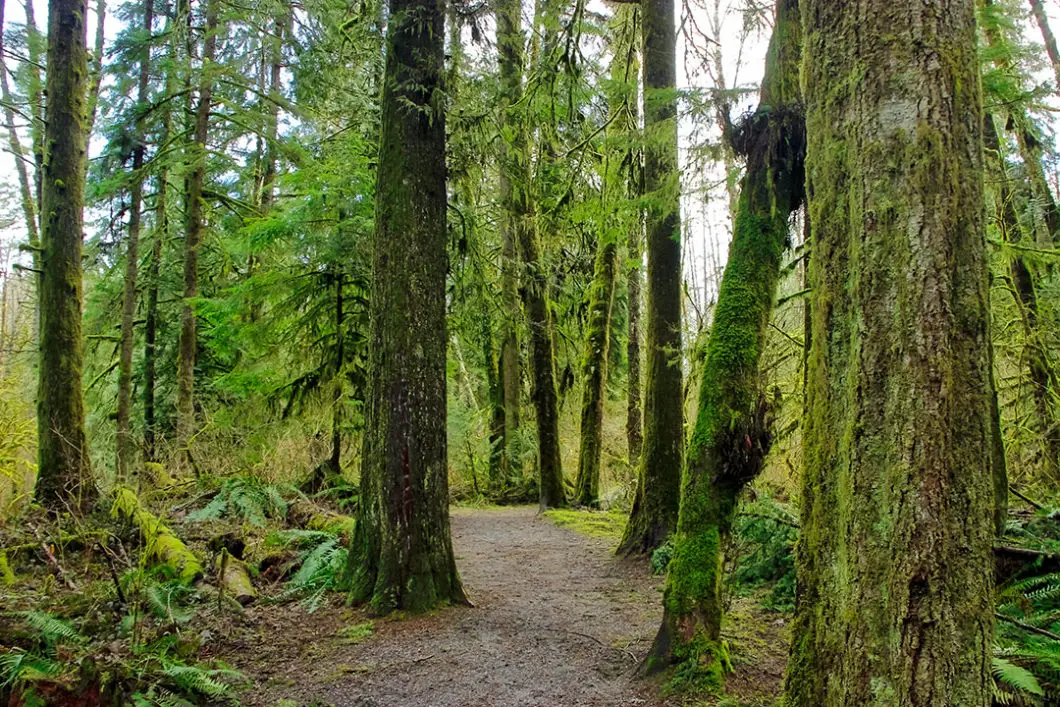
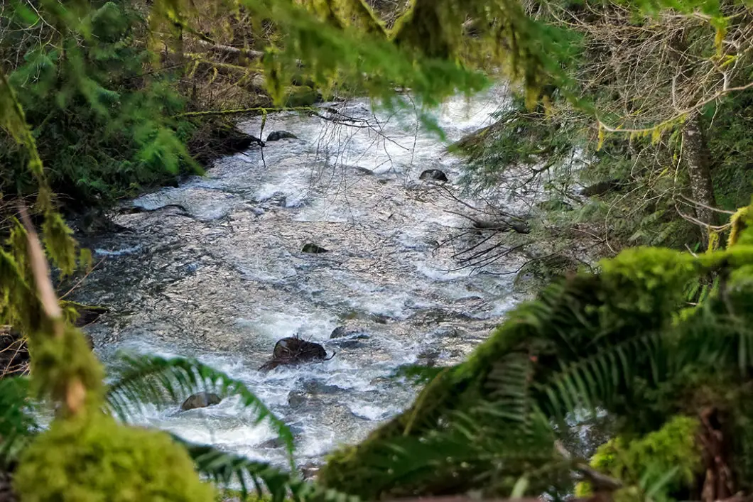
The trail goes back up along some more wooden steps. Follow the trail along the path through the green, moss-covered trees. Kanaka Creek will be rumbling down below to your left. You will come to a stream and a junction. Go straight in the direction marked for the fish hatchery, 500 m away.
Kanaka Creek will remain on your left. Follow the trail and you will come to a road (256th Street). Cross the road and there is a parking lot for the Bell-Irving hatchery and fish fence. There are bathrooms here. At the end of the parking lot, there is a trail that takes you up to the hatchery itself.

The Bell-Irving Hatchery and fish fence support salmon populations in Kanaka Creek for chum, coho, and pink salmon. The fence operates from September to the beginning of December each year. “Since the hatchery opened in 1983, millions of salmon fry – most of them chum, with some coho,- have been released”. [Source: 52 Best Day Trips from Vancouver]
There is an information center at the hatchery, open on the weekends for limited hours.
There are a few benches here if you want to eat lunch before heading back. When you’re finished at the hatchery, you can follow the pleasant trails back to the parking lot. But we will return on a slightly different trail to explore more of the park.
From the hatchery, retrace your steps to the previous junction (500 m). Turn right onto the Pine Ridge Trail and go down the stairs. You will soon cross over a metal bridge. The trail climbs back up and takes you to another junction. Going right takes you to 116th Ave. Simply go left here, and the trail takes you back to Cliff Falls and the picnic area 200 m away.
The rest of the way is covering the short walk back to your car.
Download the PDF version of this guide for offline use

Directions and Parking
Take Lougheed Hwy (#7) east into Pitt Meadows. Turn left onto Golden Ears Way. Continue on Golden Ears Way, and continue onto 128 Ave/ Abernethy Way. Turn right on 232 St, and left onto Dewdney Trunk Road.
Turn right onto 252 St., and follow the street around the curve. You will reach a municipal sports field with a gravel parking lot. Park in the parking lot, and you will see the large sign for Kanaka Creek Regional Park.
Google Map directions are here.
Other similar hikes
- Gold Creek Falls (Maple Ridge)
- Steelhead Falls (Mission)
- Cypress Falls (West Vancouver)
- View all hiking guides here


