Colony Farm – Table of Contents
- Hike Introduction
- Hike Statistics
- Colony Farm Video
- Map and Elevation
- Hiking Route Description
- Directions and Parking
- Free PDF Download
Colony Farm Hike Intro
Trans Mountain Pipeline Construction Notice
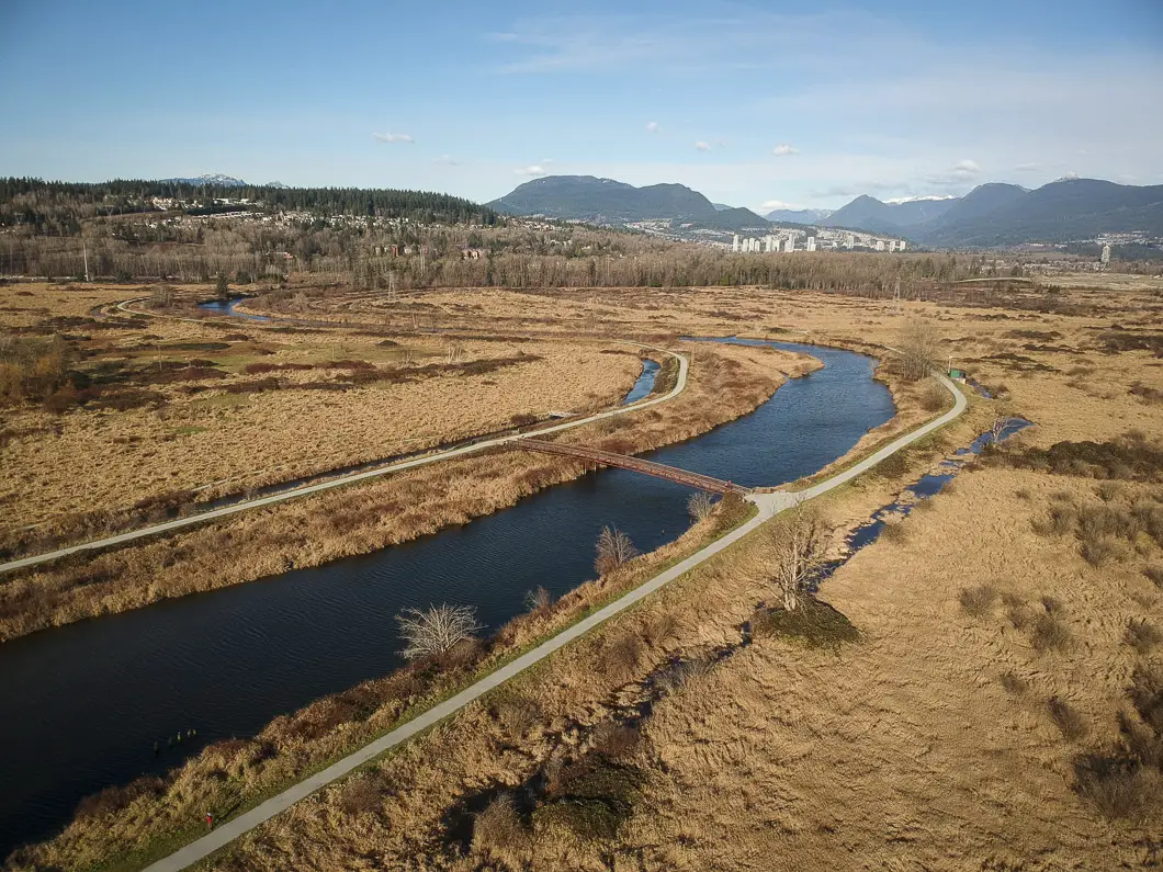
Colony Farm Regional Park is a popular place for walking, cycling, jogging, and birding. The park lies within both Coquitlam and Port Coquitlam.
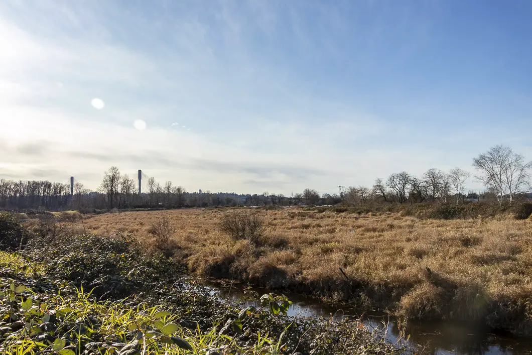
Colony Farm is located between the Mary Hill Bypass and the Lougheed Highway. Colony Farm has a large network of trails that weave through the park and along the Coquitlam River. The park features large open fields, hedgerows, and has plenty of wildlife including over 200 species of birds.
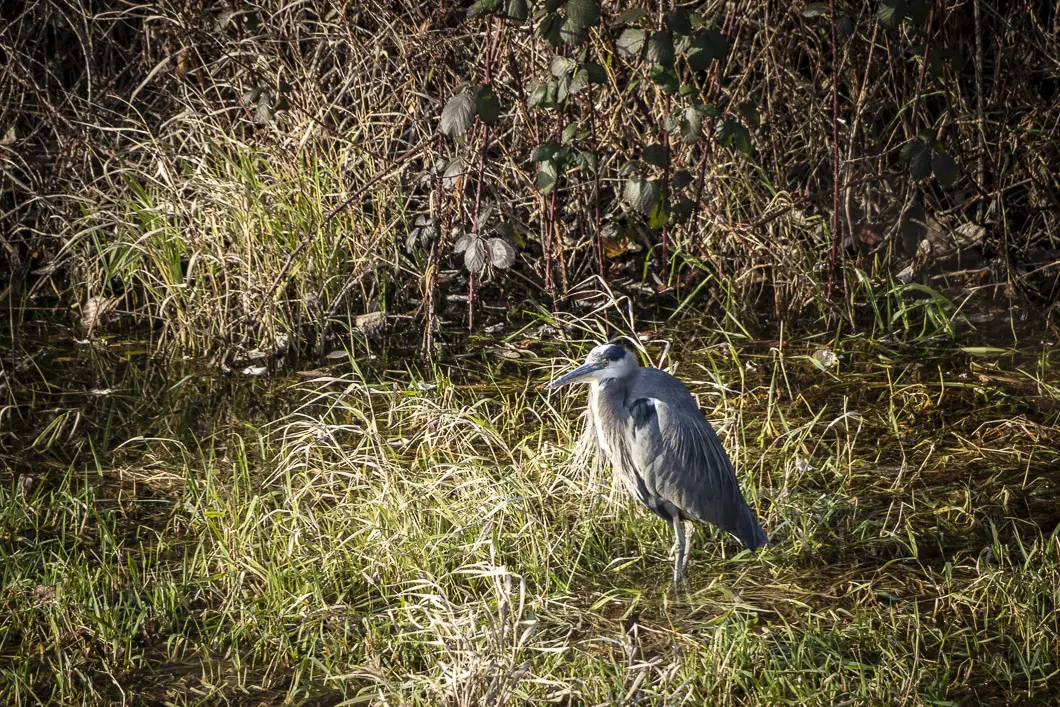
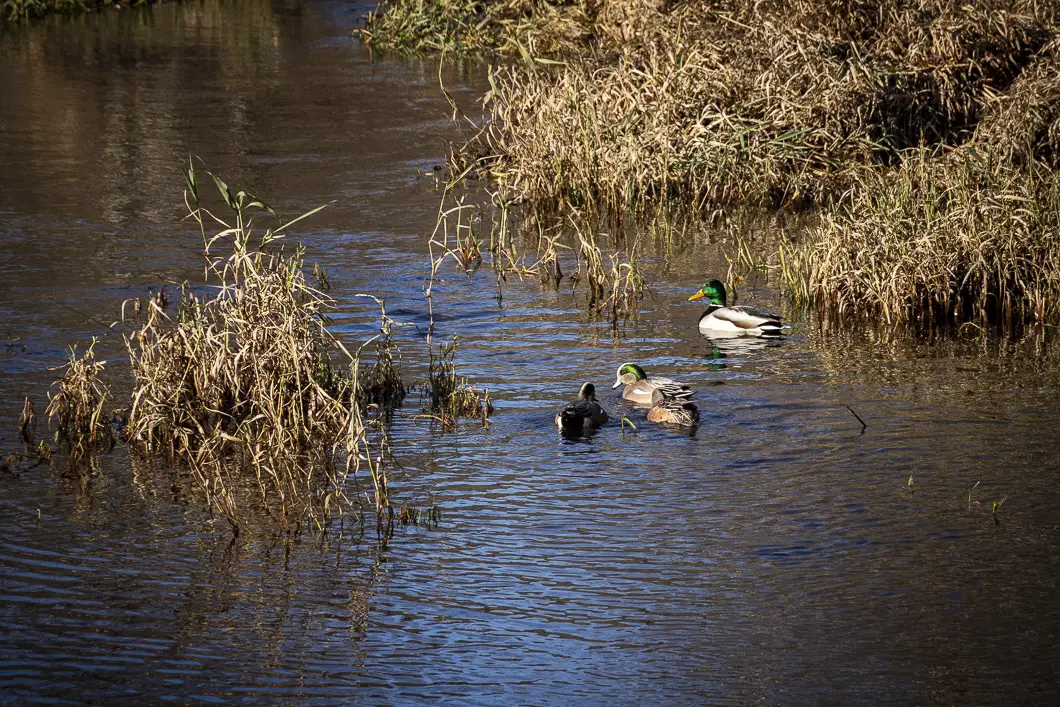
In addition to the birds like owl, hawk, and heron, Colony Farm is home to coyotes, river otters, and muskrats. Even the odd black bear wanders through!
The wildlife habitat areas and restoration areas inside Colony Farm Park are in place to provide refuge, food, and breeding sites for a diverse range of wildlife. Please help these projects succeed by staying on designated trails and keeping dogs on-leash.
The area also has a rich history, and some of the remnants of the original farm can still be noticed.
“Colony Farm officially opened in 1910. In 1918, the Farm was expanded with the purchase of the Wilson property on the east side of the Coquitlam River. With considerable support from the provincial government, Colony Farm would become one of the most successful farms in British Columbia’s history. The farm was an integral part of the [Riverview] hospital – providing both food and therapeutic occupation for patients.” [source]
From the original farm, only a bunkhouse (c.1911) and the Manager’s House (c.1917). Colony Farm became a regional park in 1996. [source: Metro Vancouver park brochure].
The route described below is a long loop that takes you through a good portion of Colony Farms.
Colony Farm Hike Stats
Rating: Easy
Distance: 6.5 km
Net Elevation Change*: 0 m
Highest Point: 10 m
Time Needed: 1.5 Hours
Type: Partial loop
Season: Year-round
Dogs Allowed: Yes, on leash
Est. Driving Time from Vancouver: 30 Minutes
Trailhead Coordinates: 49.237864, -122.791103
*For a better understanding of the stats and difficulty rating, check out the Hiking Guides page for details. Always carry The Essentials and fill out a trip plan.
Colony Farm Video
Here is a 3-minute video of our experience on this hike!
Colony Farm Hike Map and Elevation
Colony Farm
Profile
Colony Farm Hiking Route
There is no right or wrong way to enjoy a walk around Colony Farm Regional Park. There are about 10 km of trails, and if you consult the park map before heading out, you can choose your own route.
There are also multiple parking areas to access Colony Farms, so you can choose where you want to start. We started this hike at the small pullout parking area along Shaughnessy St. (directions). The route described here is a large loop that will allow you to see most of the park including the Millennium Bridge, Community Gardens, and the Wilson Dyke Farm Trail.
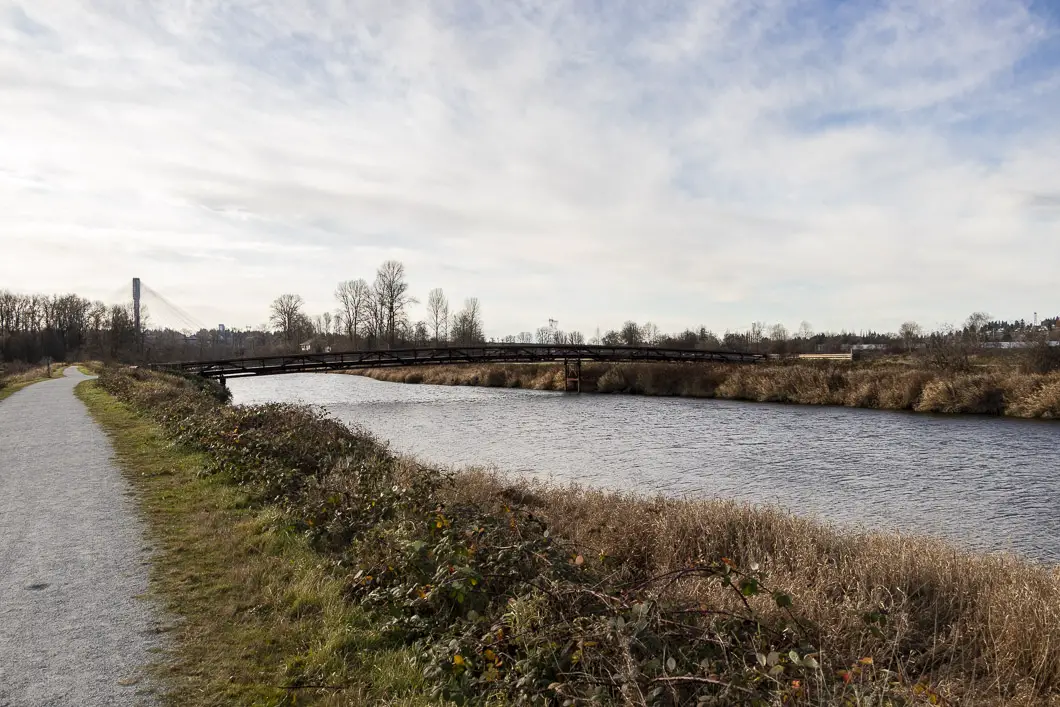
To begin, walk down the Pumphouse Trail for about 700 meters. As you walk down the trail the Wilson Farm Wildlife Habitat Area will be on your right. You’ll quickly gain an appreciation of how large and open the park is. You’ll also be able to see the mountains to the north, including Coquitlam Mountain and Cypress Mountain. At the end of the trail, you’ll come to a junction with the Wilson Farm Dyke Trail. Go left, and the Coquitlam River will now be on your right. You’ll be on a wide, flat, and gravel trail.
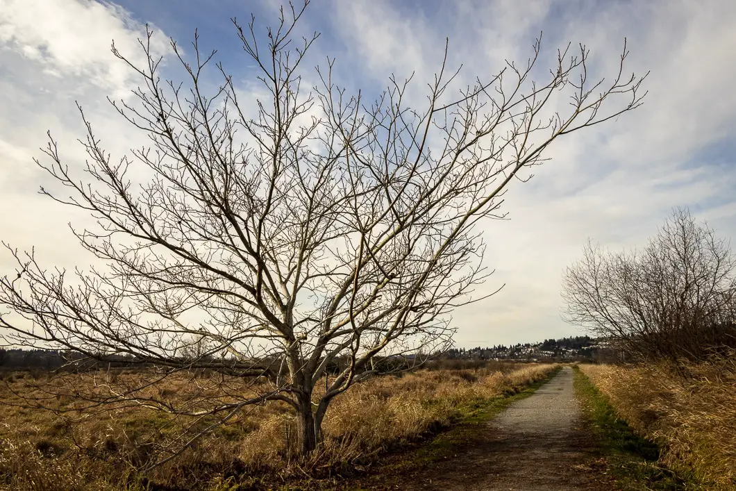
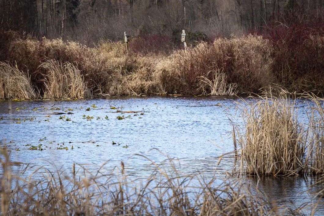
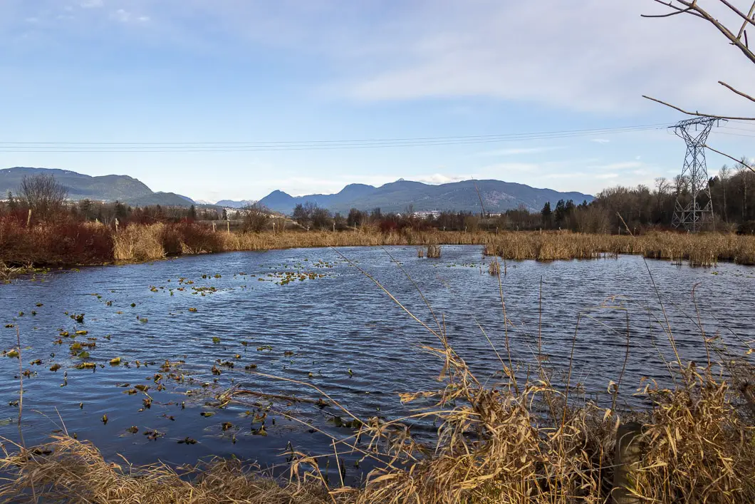
Follow the trail alongside the river, heading towards the Millennium Bridge. The Port Mann Bridge is visible in the distance. The houses of Citadel Heights can be seen to your left on the hill.
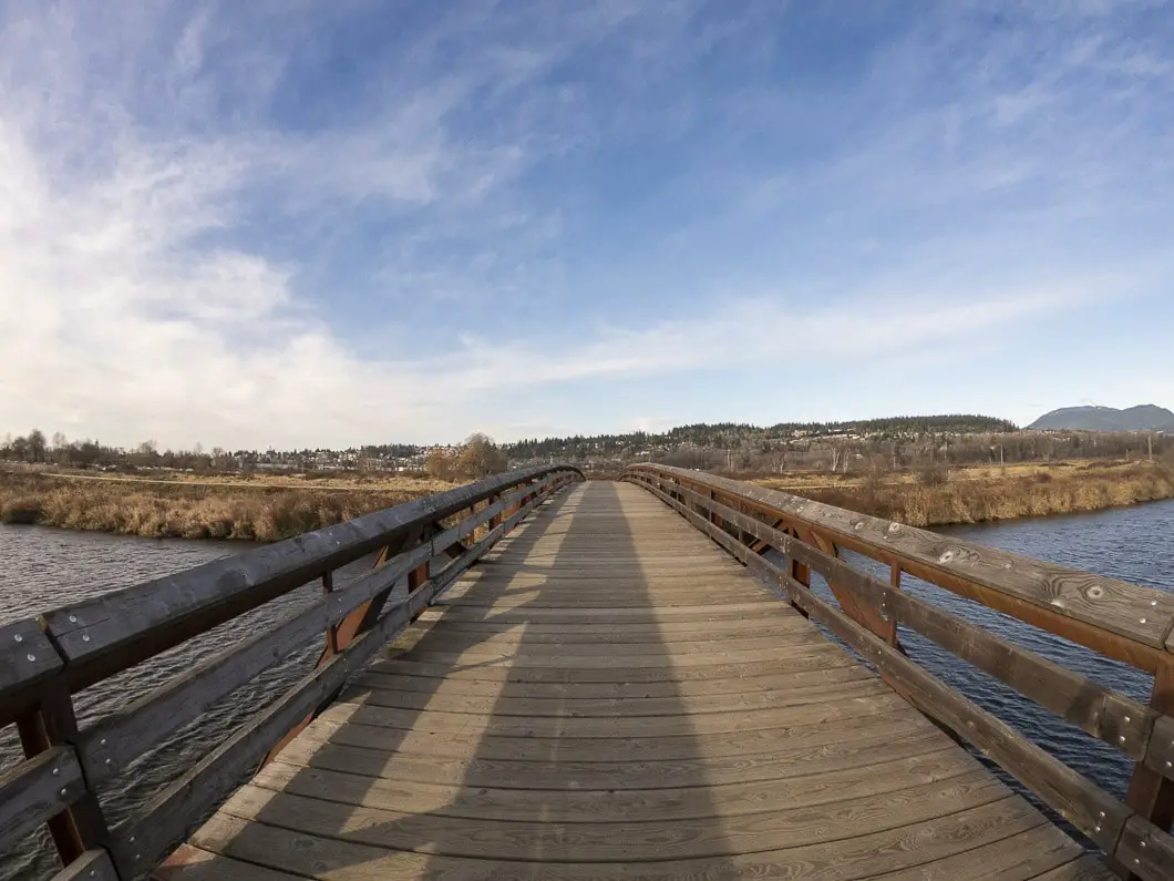
When you reach the Millennium Bridge, head right and cross over it. On the other side of the bridge, take a left onto the Garden Trail. Follow the trail as it winds around. You’ll pass through two yellow gates and the Kwikwetlem First Nations Land will be on your left as you come to a paved road. Follow the road to a parking lot and you’ll come to the Community Gardens.
The Colony Farm Community Gardens have over 280 members which tend the 7 acres of land. [source]. There are picnic tables and bathrooms here, and you are able to wander the gardens if you wish, but please don’t pick anything from the gardens.
Walk to the far end of the parking lot, reaching the red bathrooms. Keep following the road until you pick up the trail on the left-hand side of the road. You’ll see the signs for the Mundy Creek parking area and the Colony Farm Road Trail.
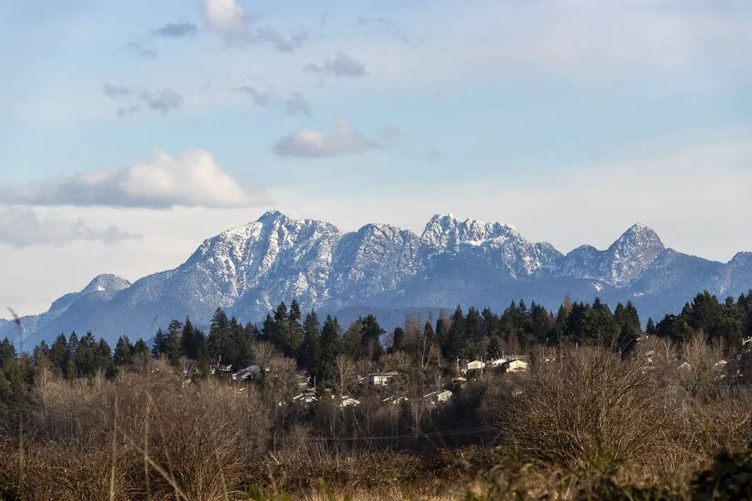
You will now be walking on the straight trail towards the Mundy Creek entrance off Lougheed Highway. You will see an industrial park off to your left and have views of Golden Ears Mountain to your right. This is probably the least exciting stretch of the hike. But it’s just a 10-minute (1 km) walk to reach the Mundy entrance and then you’ll get back onto more interesting trails.
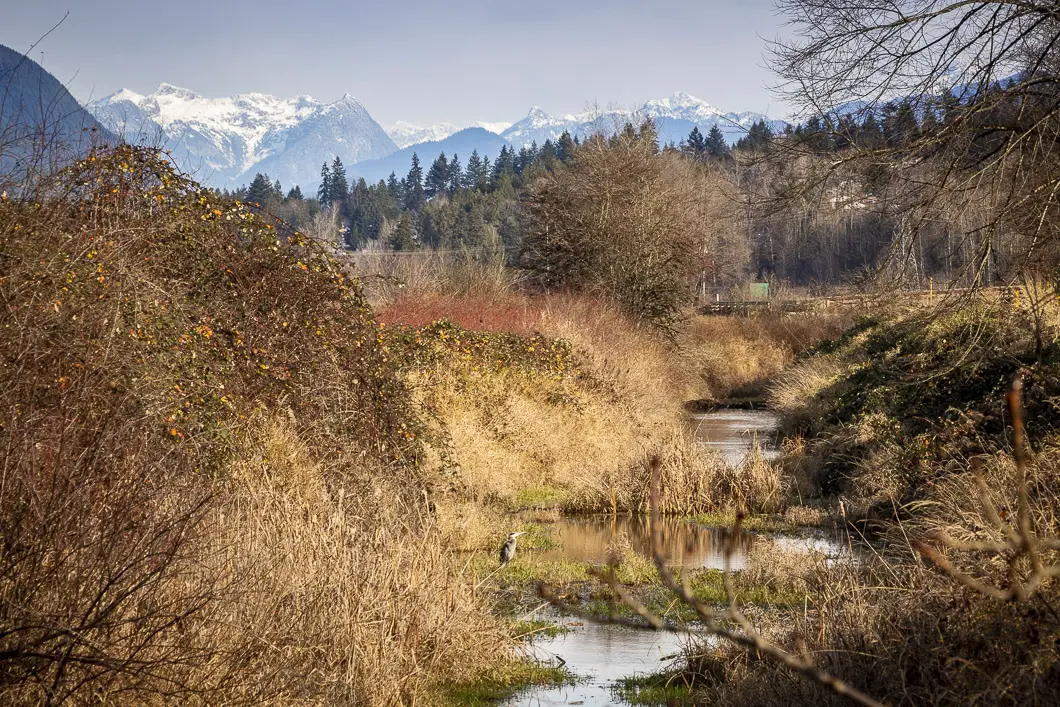
At the Mundy Creek parking lot, you will come to a junction. Go right, onto the Mundy Creek Trail. Soon, there will be another junction on your left (marked for the Sheep Paddocks). Stay to the right along the dyke. You’ll now be on the Home Farm Dyke Trail.
Like earlier, you will be on a flat and wide, gravel trail. There are open fields to your right and a few trees to your left.
As you follow the trail, it will slowly curve to the left, back towards the direction of the Mary Hill Bypass and Fraser River. You’ll follow the trail all the way to the Millennium Bridge. Head left over the bridge.
From here, retrace your steps back to the starting point.
Download the PDF version of this guide for offline use
Directions and Parking
There are several parking areas for Colony Farm. The main one is located on Lougheed Highway and Colony Farm Road.
The driving instructions here are for the small parking area we used to start the hike in the description above.
From Vancouver, take Highway 1 east. Take exit #44 for BC 7B E toward Coquitlam City Centre/Maple Ridge. Continue on BC-7B and then turn left onto Shaughnessy Street. Just past Eastern Dr, you will see the small parking area on the other side of the street. You will need to find a suitable place to turn around, and park in the pullout area.
Google Map directions are here
Other great hikes in this area
- Cypress Lake (moderate)
- Coquitlam Crunch (easy)
- High Knoll (moderate)
- View all hiking guides here


