Conflict Lake – Table of Contents
- Hike Introduction
- Hike Statistics
- Conflict Lake Video
- Map and Elevation
- Hiking Route Description
- Camping
- Directions and Parking
- Free PDF Download
Conflict Lake Hike Intro
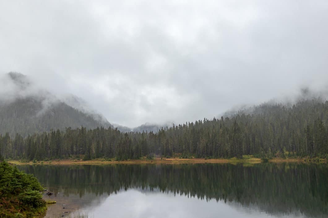
Conflict Lake is a beautiful hike in the gorgeous Callaghan Valley backcountry. In the late summer, the wildflowers are blooming in the sub-alpine meadows, making the entire length of the trail scenic and enjoyable.
Conflict Lake itself sits next to the Journeyman Lodge. A hike to the lake is often combined with hiking to nearby Ring Lake, but it’s a worthy destination of its own for those that don’t have time to extend the hike further.
On the downside, the drive into the trailhead is no piece of cake and requires a vehicle with good clearance (details at the bottom of this guide). Snow persists late in the season, and the meadows, full of creeks and ponds, are also a haven for mosquitos earlier in the hiking season.
Per BC Parks “Camping in Callaghan lake Park is only permitted in the small drive-in camp ground at the lake.”
Conflict Lake Hike Stats
Rating: Moderate
Distance: 12 km
Net Elevation Change*: 180 m
Highest Point: 1,379 m
Time Needed: 4.5 Hours
Type: Out-and-back
Season: June – September
Dogs Allowed: Yes, on leash
Est. Driving Time from Vancouver: 2.5 Hours
Trailhead Coordinates: 50.190969, -123.182305
*For a better understanding of the stats and difficulty rating, check out the Hiking Guides page for details. Always carry The Essentials and fill out a trip plan.
Conflict Lake Video
Here is a 2-minute video of our experience on this hike!
Conflict Lake Hike Map and Elevation
Conflict Lake
Profile
Conflict Lake Hiking Route
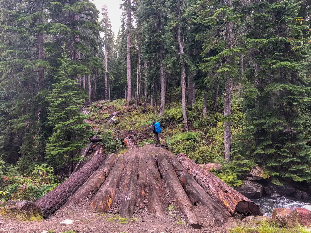
From the parking area (directions), which is about 200 m away from the main Callaghan Lake parking area, you’ll see the Conflict Lake Trail which starts behind a fire pit. Follow the path for a minute, and you’ll see a large log bridge which takes you over Callaghan Creek.
After the bridge, the trail starts zig-zagging into the woods. The trail is rocky and covered by tree roots. Much of the year, it can be muddy as well.
While the footing is difficult in parts, the trail is relatively flat. Follow the trail and the periodic flagging. The trail is heavily forested but remains easy enough to follow. The forest here is full of many Douglas firs and western red cedars.
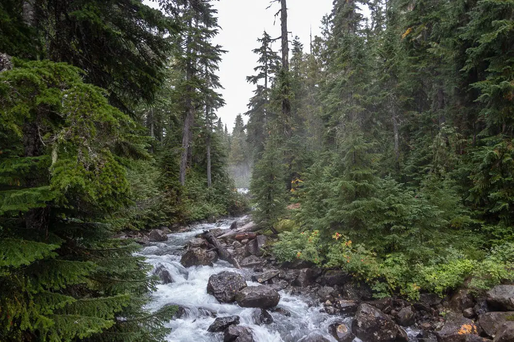
After 500 meters or so, you’ll start to cross wood planks which have been placed as makeshift bridges over small streams. They are each etched with a number, starting at #1.
After about 20 minutes or roughly 1 km, you should reach plank #4.
The trail continues to gently roll up and down, with a slight net gain in elevation as it winds through the woods. In the late summer, there are plenty of blueberries along the trail.
After 30 minutes, you may notice a large green sign with the #9 up in a tree.
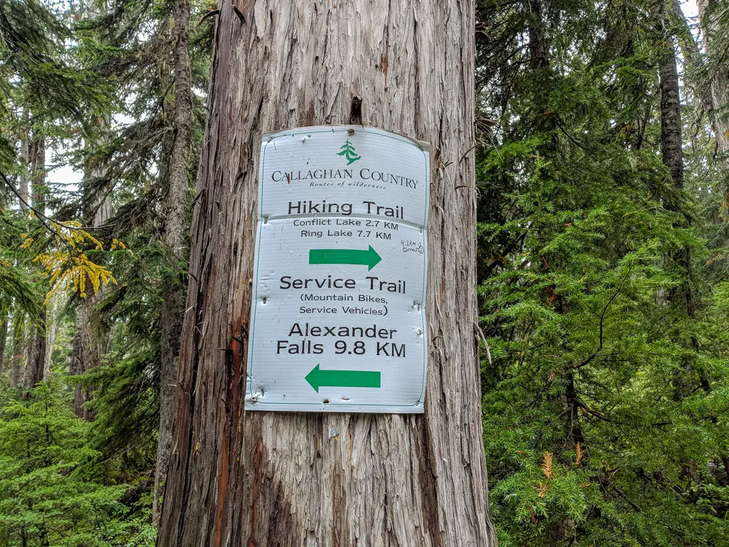
After roughly 2 km or 45 minutes, you will come to a junction. There is a sign here that reads ‘Hiking Trail’ and lists the distances to Conflict Lake at 2.7 km, and Ring Lake at 7.7 km. The sign here also lists Alexander Falls at 9.8 km to the left. Go right.
Around the 2.5 km mark, the trail finally starts to climb uphill more, although the climb is short-lived. Follow the pink ribbons along this stretch of the trail. There are many stream crossings in this section.
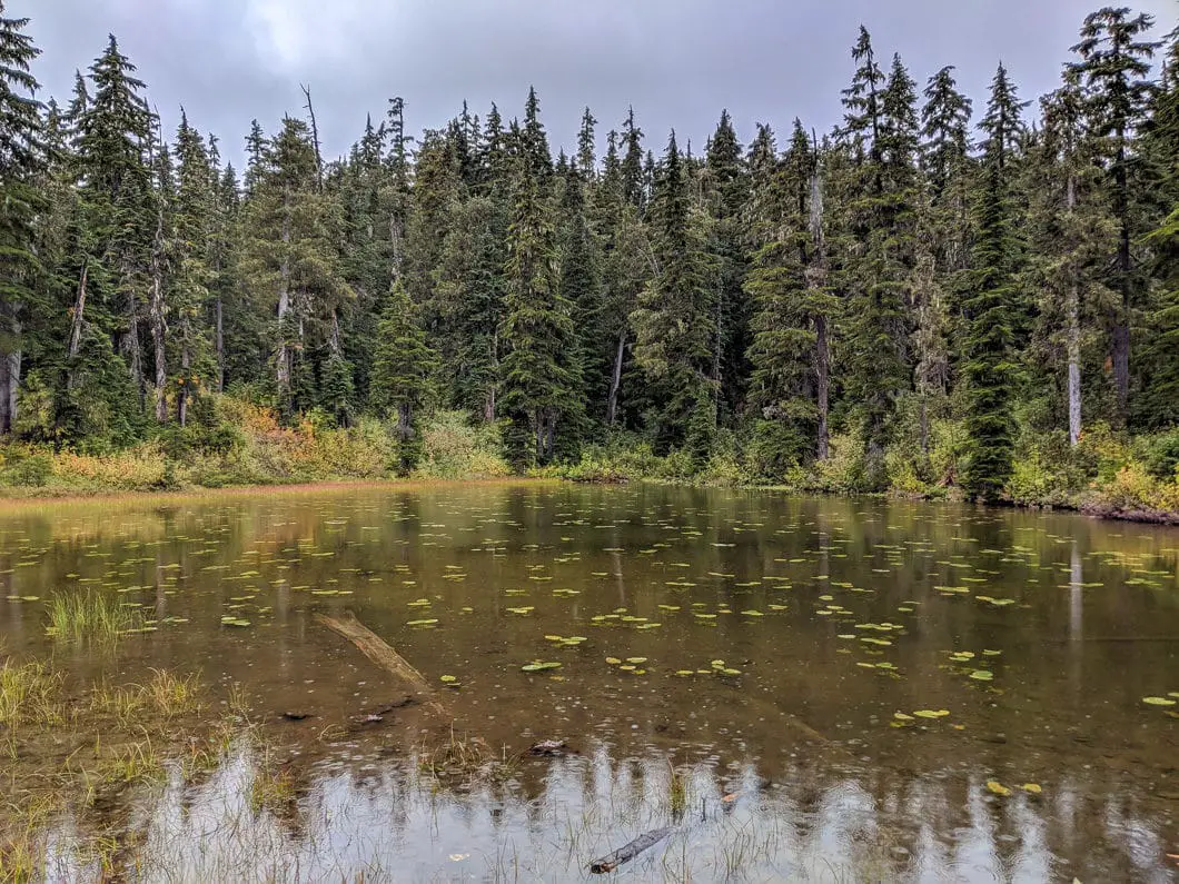
At roughly 3 km, a small pond is visible off to the left through the trees.
15 minutes later the trail starts climbing up again for about 10 minutes of hiking. Nothing too steep but at more of an incline than before.
After the uphill section, roughly 1 hour 15 minutes into the hike, you will come to a clearing and see the southern slope of Hidden Peak ahead.
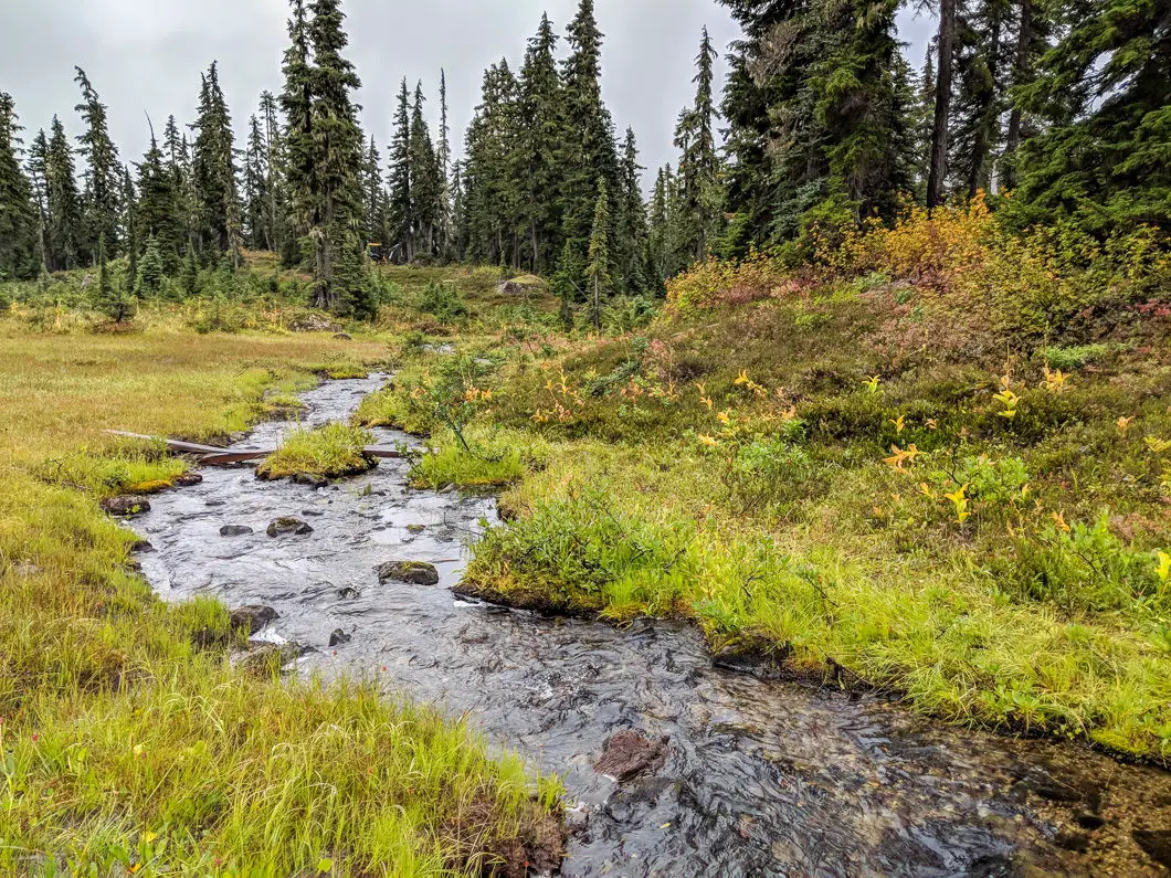
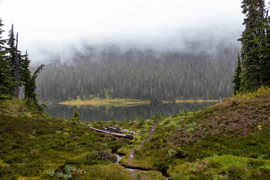
Keep following the trail and you will come out into the beautiful meadows of the sub-alpine. Here the forest is more open, with many creeks, ponds, and pockets of pristine water. Continue to follow the flagging in the trees.
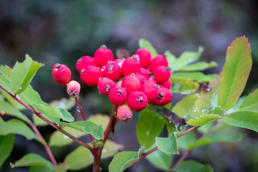
The area here is scenic, with flowers, mushrooms, blueberries, and western huckleberries.
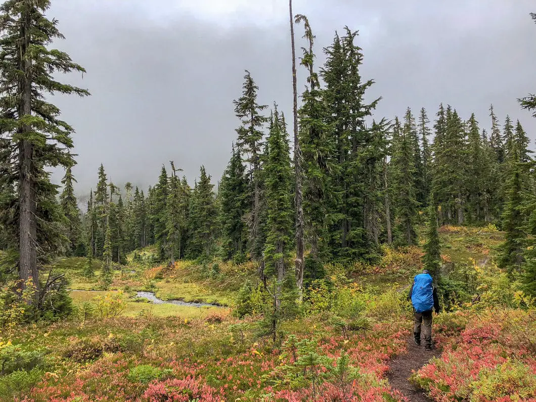
Roughly 2 hours and 6 km after starting the hike, you will reach the Journeyman Lodge.
A popular wintertime getaway for backcountry skiers, the Journeyman Lodge was built in 1998. At the time it was called Powder Mountain Lakeside Lodge. [source]
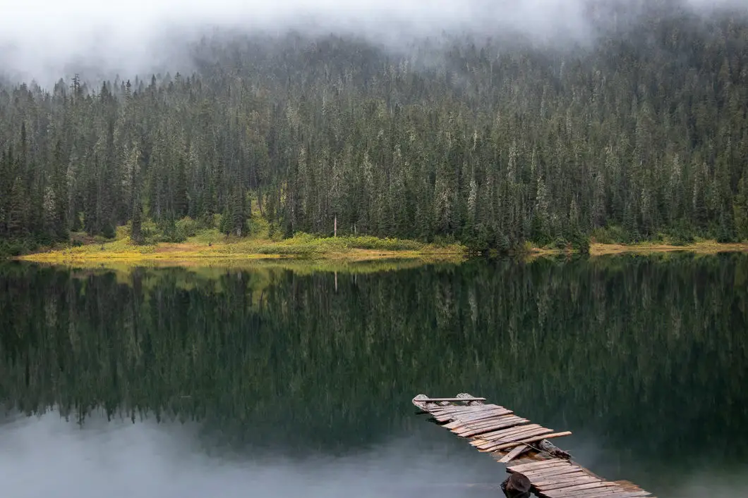
From the lodge, follow the trail down to Conflict Lake. There are several different spots along the lake that make great places to rest and eat lunch.
If you want to extend your hike, you have a few options. You can walk around the entire lake in about 1 hour. Or you can continue up to Ring Lake which is an additional 4 km, one-way from Conflict Lake and gains an additional 330 meters of elevation.
When ready, return via the same route you took in.
Download the PDF version of this guide for offline use
Camping
Camping is available at Callaghan Lake but not at Conflict Lake. “This park offers informal vehicle accessible campsites on a first-come, first-served basis – campsite reservations are not accepted. The current camping area is an informal, confined area at the end of the road, close to the lake. This camping area can accommodate four – six tents or high clearance camper trucks. Camping is available only in snow free months (mid-June to end of October). There is no fee.” Read more on the Callaghan Lake Provincial Park website.
You can also potentially stay at the Journeyman Lodge. Historically, they lodge has been closed during the summer months. However, as of 2018 they have been experimenting with having a few weeks available for summer hikers to stay in the incredible lodge. It’s worth checking to see availability.
Directions and Parking
Parking for the Conflict Lake hike is at Callaghan Lake Provincial Park. A high-clearance vehicle is needed to navigate the final 9 km of the drive.
Take the Sea to Sky Highway north, towards Whistler. About 30 minutes beyond Squamish, you will pass Brandywine Falls Provincial Falls. 5 minutes after Brandywine, you will see a sign for the Callaghan Valley Recreation Area. Turn left here on to Callaghan Road. Drive for 9 km until you see the sign for Callaghan Country on your left (just past Alexander Falls). If you reach the Whistler Olympic Park, you’ve gone too far.
Turn left and drive over the bridge. From here, the road becomes rough and requires a vehicle with high clearance – a 4WD vehicle is best. A 2WD vehicle can make it to Callaghan Lake, but there are many washed out sections/ ditches that will stop a low-clearance vehicle in its tracks.
Follow the rough road for about 9 km (30+ minutes). The Conflict Lake Trail starts about 200 meters before Callaghan Lake, on the left side of the gravel road. There is a pullout area to park on the side of the road.
Google Map directions are here.
Other great hikes in this area
- Brandywine Meadows (moderate)
- Whistler Trail Wreck (easy)
- Brandywine Falls (easy)
- View all hiking guides here
Download the PDF version of this guide for offline use


Tara
We did this hike on the last weekend of October and while it was still doable in hiking boots, there was a good foot of snow on the ground. There are a few very small creek crossings, but the walk is mostly flat and in the forest, save for the last few kilometres along a FSR. While the trail to Conflict Lake was better marked than I expected, we elected not to proceed to Ring Lake as we weren’t confident about wayfinding (there were no tracks ahead of us) and it took a lot longer to trudge through snow than we expected. Overall, the walk, scenery, and lake are absolutely stunning and I would definitely recommend it as a beautiful day out.
Keep in mind that as with most places in the area, you are in grizzly bear country and we definitely saw black bear tracks. I’ve also been in Callaghan Provincial Park in the summer and seen 10+ bears along the side of the road in.
Also, the FSR to the trailhead is definitely 4WD/high clearance- we barely made it in a RAV4.