Coquitlam Crunch – Table of Contents
- Hike Introduction
- Hike Statistics
- Coquitlam Crunch Video
- Map and Elevation
- Hiking Route Description
- Directions and Parking
- Free PDF Download
Coquitlam Crunch Hike Intro
The Coquitlam Crunch is a popular trail primarily used for exercise. The route starts off Landsdowne Dr. near Eagle Ridge Elementary School and climbs straight up Westwood Plateau in Coquitlam. The total return-trip is 4.4 kilometers and takes about 1.5 hours on average.
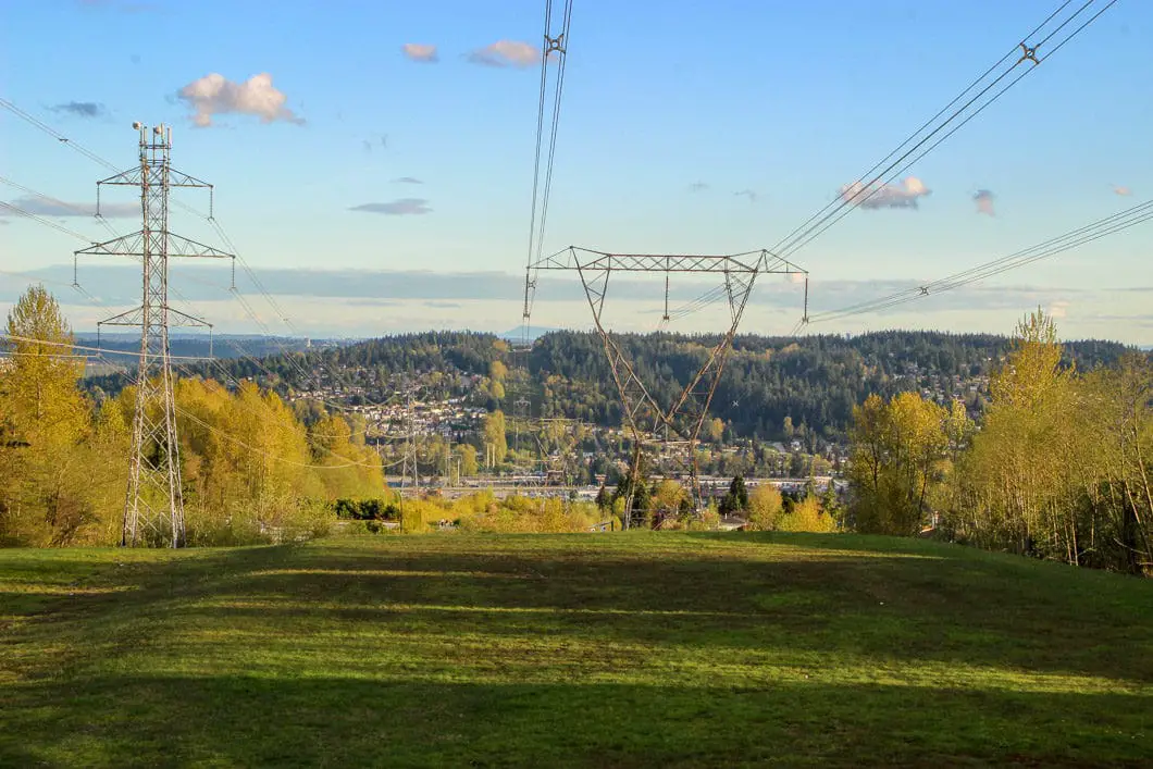
The Coquitlam Crunch runs under a power line and has a net elevation of 242 m. The trail is a mixture of stairs, pavement, and gravel. In the summer months, it is bustling with locals getting in some post-work exercise. “The trail sees approximately 7,000 visits per month during the low periods and up to 52,000 visits per month during peak use periods in the spring and summer months” [Source]
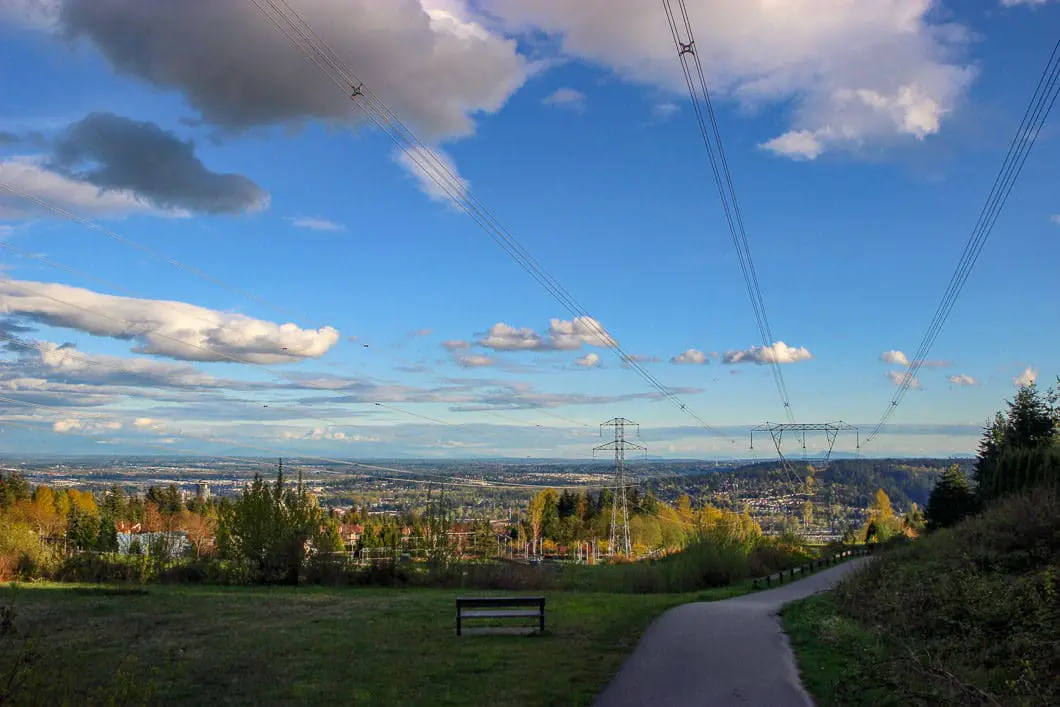
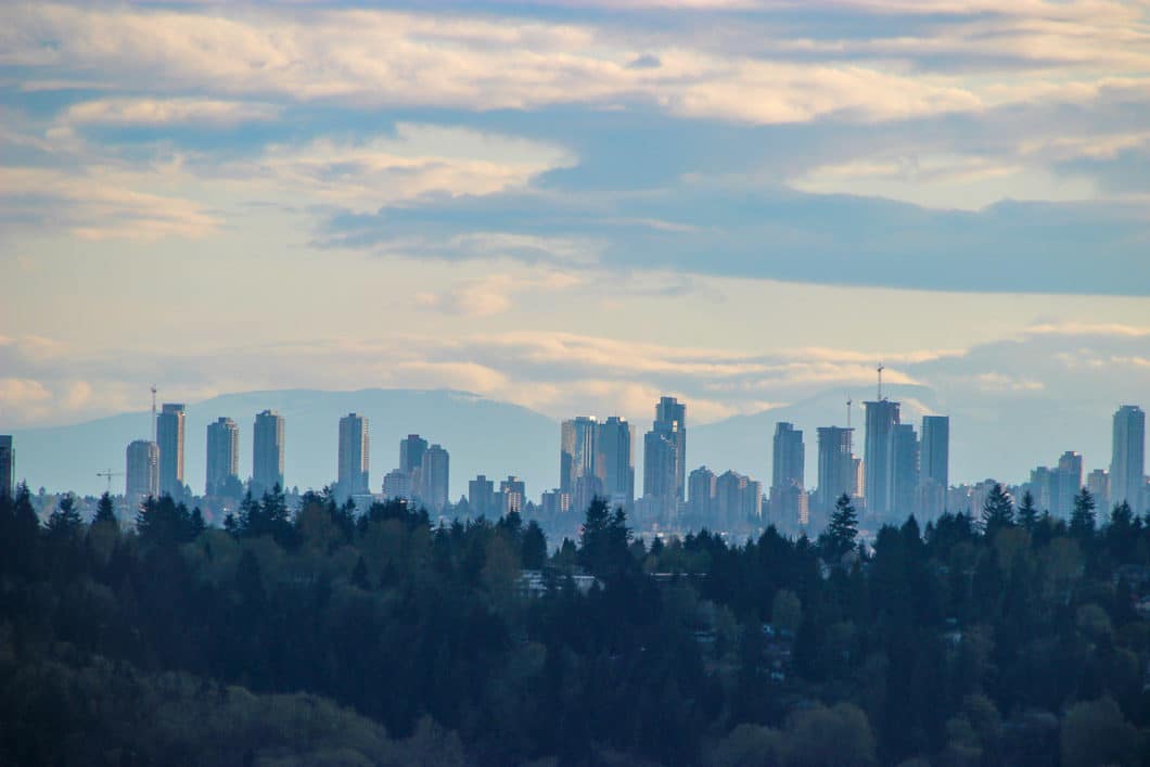
If you’re looking to get away from the city and into nature, you should probably take a pass on this hike. While the trail runs underneath a power line and isn’t your typical ‘hike’, it does, however, offer some nice views, especially on a sunny evening. As you climb the trail and look back, you have scenic views of Blue Mountain, Burnaby Mountain, and beyond to the Fraser Valley.
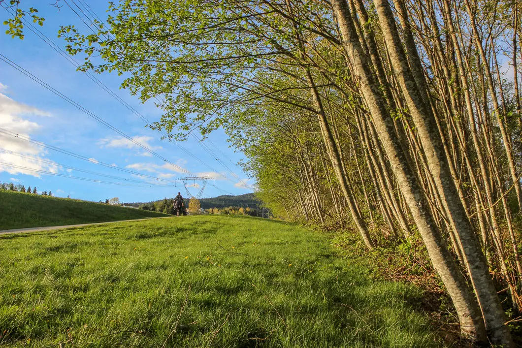
The many shrubs which run under the power lines and up along the trail provide habitat for birds, raccoons, coyotes, deer, and even black bears.
The Coquitlam Crunch is undergoing upgrades by the City of Coquitlam through 2023. New washrooms, paved parking, and additional connector trails will be built following the writing of this guide in 2018. There are now stairs on both sides of the lower portion of the trail.
While the trail sometimes draws comparisons to the Grouse Grind, the Coquitlam Crunch trail is much easier.
A note on safety: Stay clear of the power lines. They are 500,000-volt transmission lines. Never touch or go near the wires. You should also stay away from this hike during lightning storms, and never seek shelter near the base of the towers.
Coquitlam Crunch Hike Stats
Rating: Easy
Distance: 4.4 km
Net Elevation Change*: 242 m
Highest Point: 280 m
Time Needed: 1.5 Hours
Type: Out-and-back
Season: Year-round
Dogs Allowed: Yes, on leash
Est. Driving Time from Vancouver: 1 Hour
Trailhead Coordinates: 49.285322, -122.815076
*For a better understanding of the stats and difficulty rating, check out the Hiking Guides page for details. Always carry The Essentials and fill out a trip plan.
Coquitlam Crunch Video
Here is a 1-minute video of our experience on this hike!
Coquitlam Crunch Hike Map and Elevation
Coquitlam Crunch
Profile
Coquitlam Crunch Hiking Route
We hiked this trail in the fall of 2017, and the description below reflects the trail as of that time. The City of Coquitlam is currently doing major upgrades to the trail and the route as described below will now have some differences. Mainly, the stairs at the start of the hike which have been moved to the other side of the power lines. We will complete this hike again soon and update the description below soon.
From the parking lot (directions), there’s a signboard with information about the trail. Walk along the gravel path north, up the hill. It’s a wide and groomed gravel trail. Walk up for about two minutes. You will come to a set of stairs and the first road crossing, which is Lansdowne Drive.
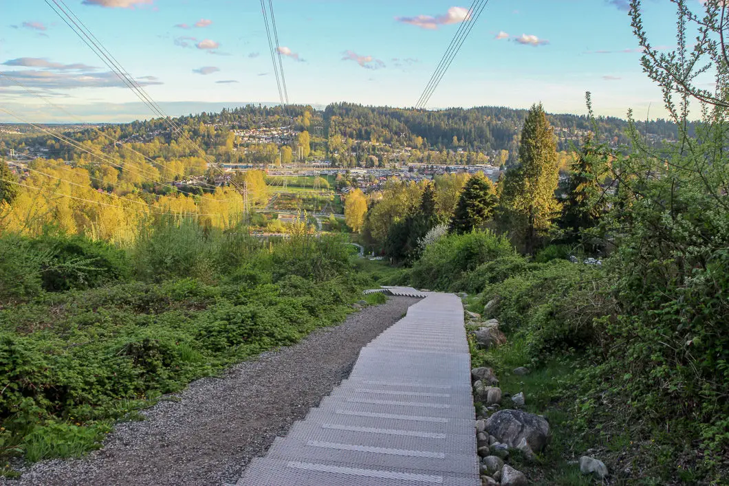
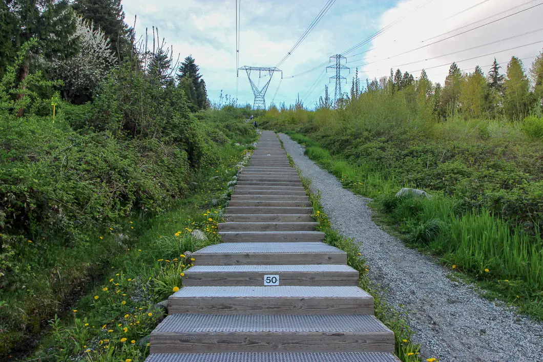
After crossing the road, the stairs begin. They are periodically numbered, starting at 0 and ending at stair 437. There’s a trail to the side of the stairs if you prefer the gentle incline to the steps. The stairs themselves are wide and able to comfortably accommodate up and down traffic.
The stairs here are steep, and it won’t take long for your heart rate to increase. Settle into a comfortable pace and make your way up the many, many steps.
When you get to step 375 there’s a bench and lookout on the right. Catch your breath, and then keep going to step 437.
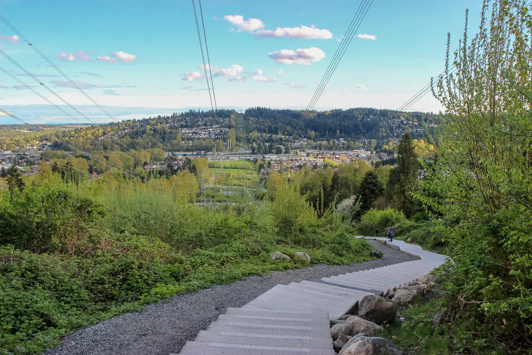
At the top of the stairs, you will cross over Lansdowne Drive for the second time.
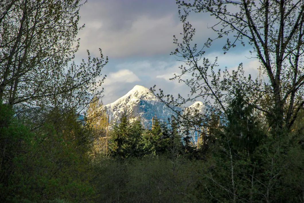
The next section of trail is gravel. There are a few stairs where the trail takes a curve to the right and then curves back up north. Behind you, to the left, you can see Burnaby Mountain and the Metrotown area off in the distance. Directly south you can see Blue Mountain.
Soon, you will reach another road (David Ave). After crossing David Ave., the trail becomes pavement and climbs less steeply than before. If you have your dog, the area of grass here is the Bramble Park off-leash area.
Download the PDF version of this guide for offline use
Keep climbing, and as you reach the end of this section, the trail splits to the left or right. Go to the left, up the stairs towards the basketball court. You can go right, but it’s more direct to go left. Follow the trail up to the next road, which is Panorama Drive.
Cross the road and begin the next and final section of trail. There is Bramblewood Elementary School on your right and a baseball diamond. The route continues to be paved. Simply keep going up all the way to the top. The trail turns back to gravel for the final stretch and continues at a gradual incline. At last, you will reach a sign at Eagle Mountain Drive, the end of the trail.
Take a break and enjoy the view from the top. When ready, tackle the steady downhill back to your car.
Directions and Parking
Take the Barnet Highway in Coquitlam, and turn north onto Lansdowne Drive. Shortly after passing Guilford way, you will take a left into the parking lot for the start of the Coquitlam Crunch.
Google Map directions are here.
Other great hikes in this area
- Diez Vistas (moderate)
- Colony Farm (easy)
- Sawblade Falls (easy)
- View all hiking guides here


