Cypress Falls – Table of Contents
- Hike Introduction
- Hike Statistics
- Cypress Falls Video
- Map and Elevation
- Hiking Route Description
- Directions and Parking
- Free PDF Download
Cypress Falls Introduction
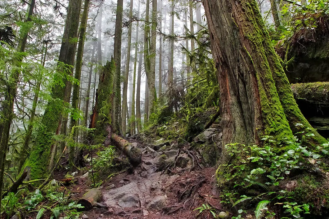
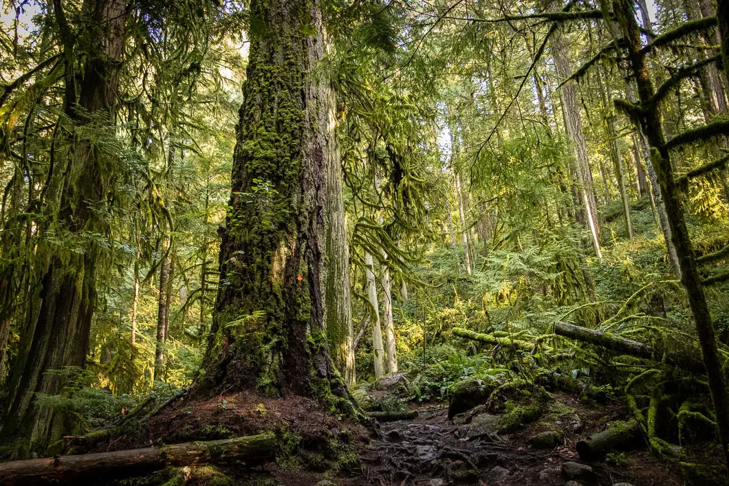
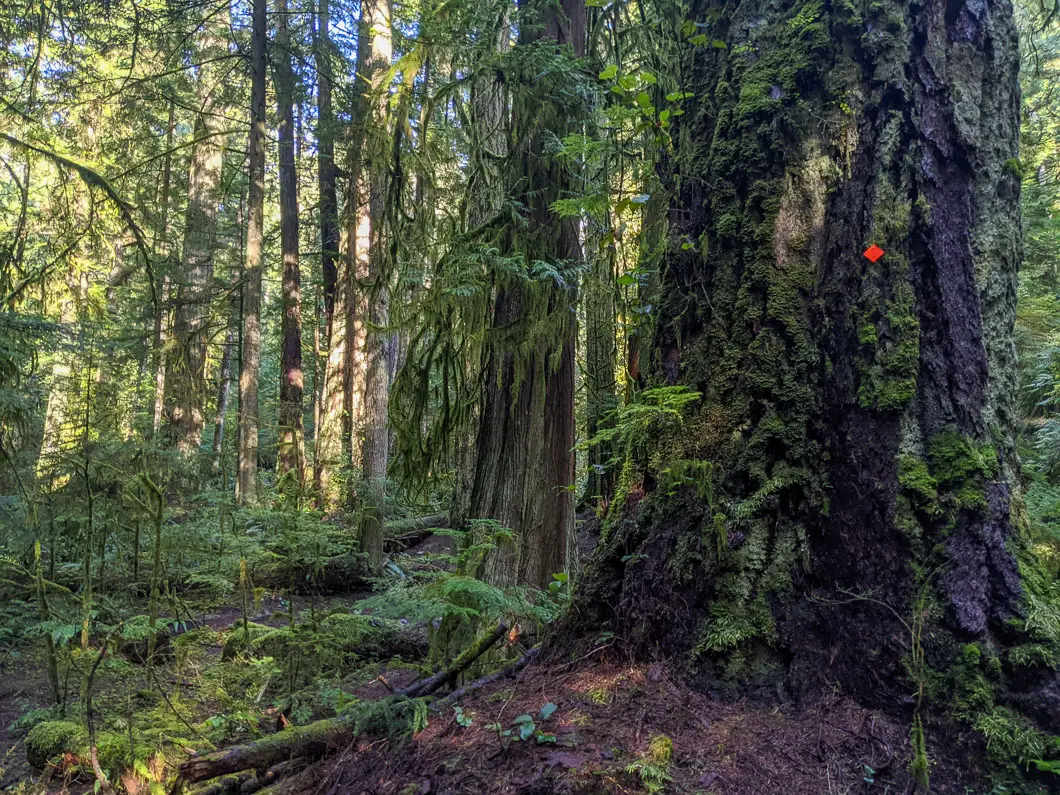
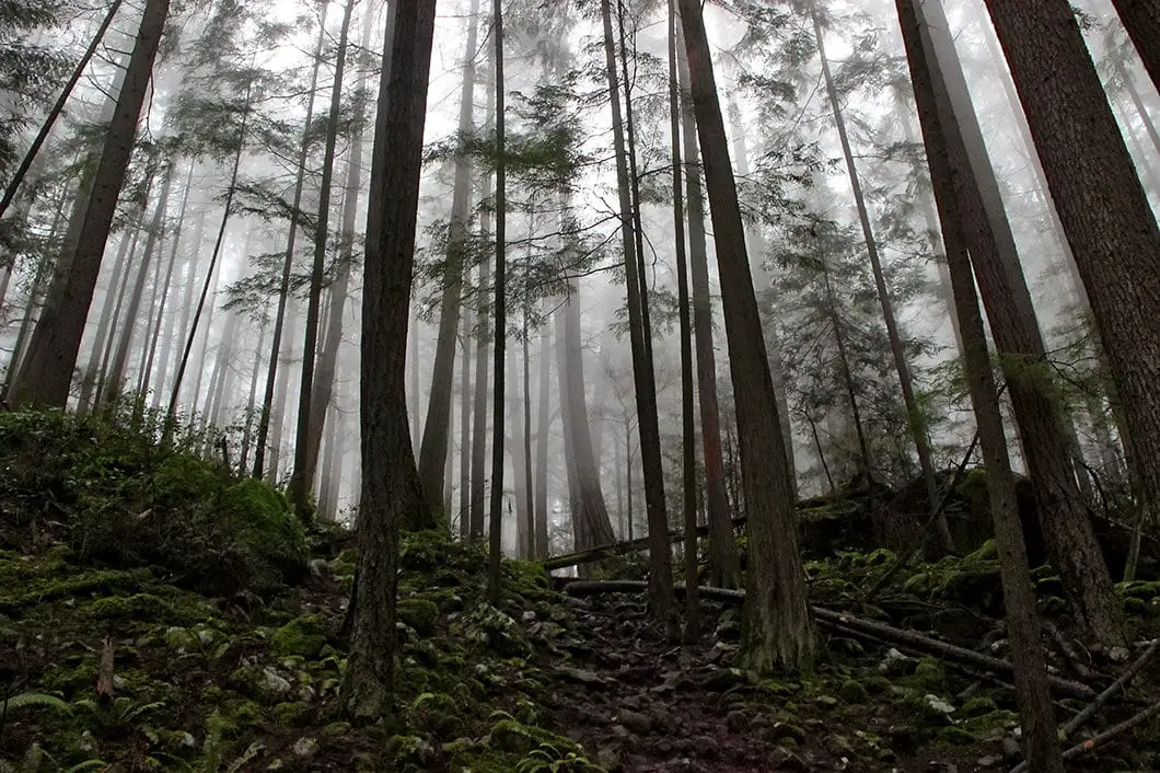
Cypress Falls Park is a lesser known, yet impressive area of forest in West Vancouver. A walk through the trails of Cypress Falls Park takes you amongst some of the biggest trees you can find on the North Shore. The 300+ year old giants are rivaled only by the trees of nearby Lighthouse Park.
As Cypress Falls Park sits at a lower elevation, this hike is accessible year-round and is family-friendly. It is a great hike to save for an overcast or rainy day. Spring is the perfect time of year for a hike to Cypress Falls.
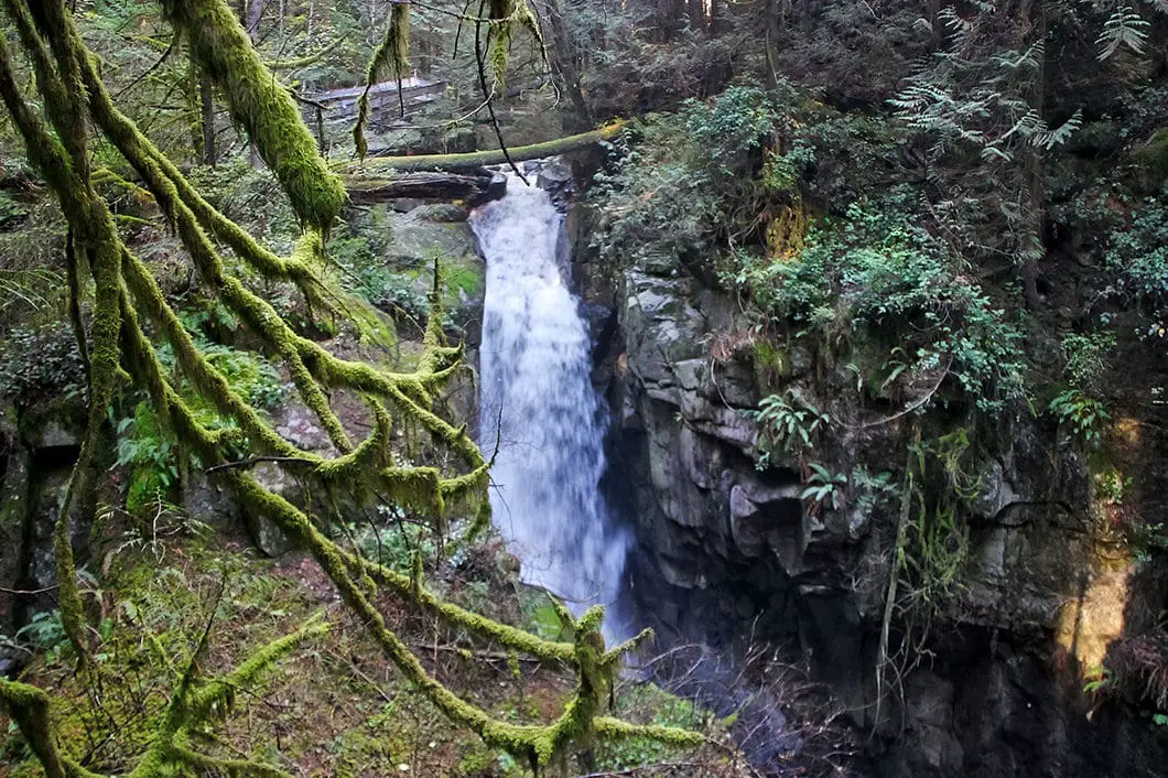
Cypress Creek carves its way through the park and provides two impressive waterfalls.
The route described below will take us to both the upper Cypress Falls and lower Cypress Falls, in a partial-loop. However, there are multiple trails within the park, and you can take alternative routes if you wish.
Cypress Falls Hike Stats
Rating: Easy
Distance: 3 km
Net Elevation Change*: 120 m
Highest Point: 300 m
Time Needed: 1.5 hours
Type: Partial loop
Season: Year-round
Dogs Allowed: Yes
Est. Driving Time from Vancouver: 30 minutes
Trailhead Coordinates: 49.352047, -123.240833
*For a better understanding of the stats and difficulty rating, check out the Hiking Guides page for details. Always carry The Essentials and fill out a trip plan.
Cypress Falls Video
Here is a 4-minute video of our experience on this hike!
Cypress Falls Hike Map and Elevation
Cypress Falls
Profile
Cypress Falls Hiking Route
From the gravel parking lot, just above the baseball field, walk east along the path towards the trees. The path drops down onto the trail within the forest and immediately begins going north, to your left.
After a short way, you’ll notice the trail splits down to your right. You can go that way to reach lower Cypress Falls, but it will be easier to stay on the wide, upper trail. It’s only a 5 to 10-minute walk to reach lower Cypress Falls. When you reach the lower falls, there are two places to view the waterfall. The first is from a viewing area by a wooden fence just below the main trail, where you get a full view of the falls crashing down into the canyon.
The second view is from the concrete platform directly above the top of the falls. It’s impressive to see the powerful torrent of water from such close range.
The lower falls itself is a good destination for a quick outing with young kids. The trail to this point is wide and relatively flat. However, both falls have dangerous drops into the canyon, so be sure that everyone keeps their distance from the edges.
Once you’ve had your fill of the lower falls, it’s time to carry on.
Several trails that branch out in this area and there is more than one way to reach the upper falls. Generally speaking, you want to continue walking north, with the creek on your right, following the orange markers.
Just upstream from the top of the lower falls, you’ll see a wooden bridge. Walk up the hill, following the orange markers, and staying on the west (left) side of the creek.
The trail will soon level out, but maintain a slight incline. The trail can be muddy, with plenty of tree roots in sections, but it is easy to stay on the trail. There are several sections where you’ll have views into the deep canyon to your right.
You will come to a metal fence, with a warning sign on it. This is the official boundary of Cypress Falls Park, but you are permitted to carry on to the upper falls. At this fence, if you look down to your right, you may notice a small waterfall falling down the other side of the canyon (in the summer, it may not be there). From the fence, carry on a short distance until you reach upper Cypress Falls.
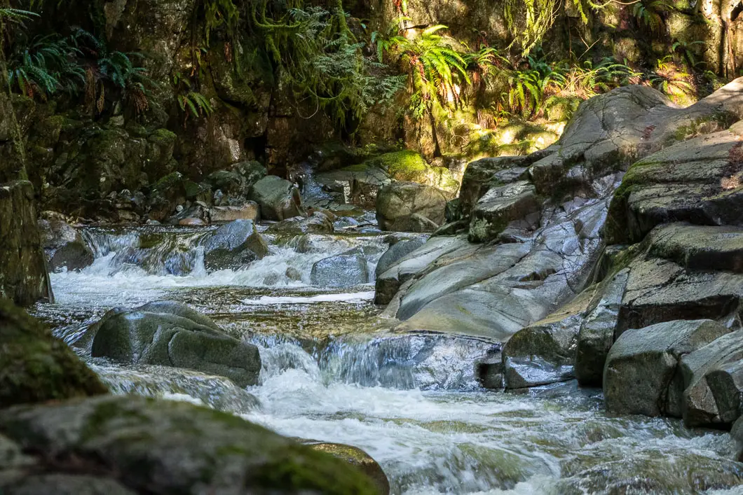
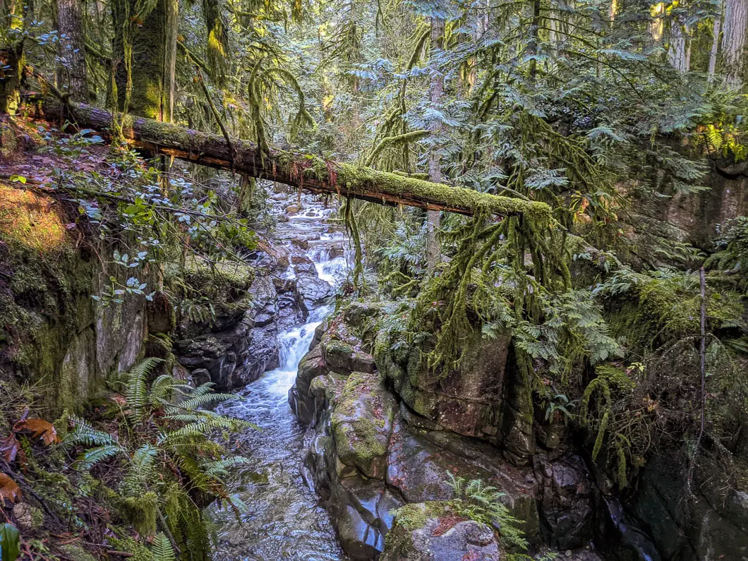
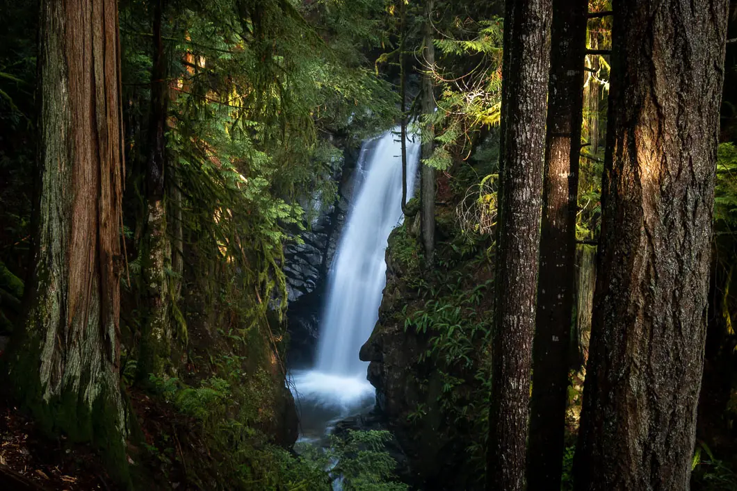
There are several spots where you can get a nice, clear view of the beautiful waterfall. The depth of the canyon is impressive. The sound of the roaring water, lush forest, and view of the waterfall make this a true gem of the North Shore.
When you’re ready you can retrace steps back to the parking lot.
Alternatively, you can take two different routes to make a partial loop back to the parking lot.
Option 1: Follow the trail to your left from the top of the falls. The trail will go up a short but steep hill, and then head left (south) at a junction. Just make sure you don’t end up on the Northwood Connector service road, and you’ll be able to follow a trail that parallels the trail you took to the upper falls. It will rejoin the original trail at the lower falls area.
Option 2: You can also follow the creek from the upper falls to a path that takes you to a service road. Head right, and then right again onto Eagle Lake Access Road, crossing a bridge over Cypress Creek. Follow the road south, until you pass by a building on your right. Shortly after, there is a trail that takes you back into the forest. Get onto the path, and you can follow it down to the wooden bridge that crosses over Cypress Creek near the lower falls.
Download the PDF version of this guide for offline use
Directions and Parking
To get to Cypress Falls take Highway 1 westbound from Vancouver. Take exit #4 and turn right onto Woodgreen Drive. Take your third right onto Woodgreen Place. At the end of the road, there is a gravel parking lot adjacent to a baseball diamond. Park and begin your hike here.
Google Map directions are here.
Other great hikes in this Area
- Lighthouse Park (easy)
- Eagle Bluffs (moderate)
- Whyte Lake (easy)
- View all hiking guides here


