Dog Mountain – Table of Contents
- Hike Introduction
- Hike Statistics
- Dog Mountain Video
- Map and Elevation
- Hiking Route Description
- Directions and Parking
- Free PDF Download
- 360° Photosphere
Dog Mountain Hike Intro
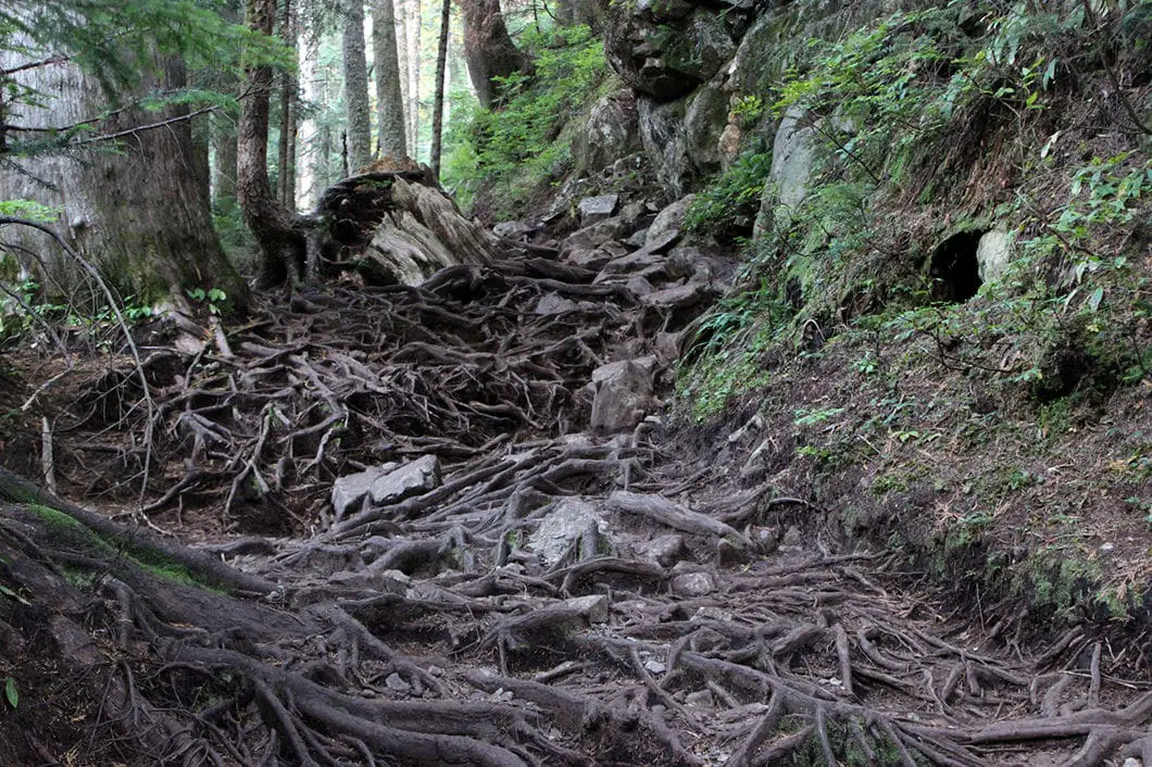
Dog Mountain is the most popular hike in Mount Seymour Provincial Park. It is a short hike with little net gain in elevation. Yet, the trail is rooty and rocky, and can also be muddy and slippery. These trail conditions make this hike moderate in difficulty, rather than easy.
But, the trek is well worth it. The views from Dog Mountain are spectacular. Mount Baker, the Fraser Valley and Lower Mainland, Stanley Park and the Strait of Georgia are all prominently on display.
The Dog Mountain Trail is busy during the summer months. For those wanting to get a full day of hiking in, this hike can be extended by detouring to Dinky Peak or completed in addition to nearby Mystery Lake.
In the winter, this is a popular snowshoeing route. The snowshoeing version of this guide can be found here.
Dog Mountain Hike Stats
Rating: Moderate
Distance: 5 km
Net Elevation Change*: 34 m
Highest Point: 1,054 m
Time Needed: 2 Hours
Type: Out-and-back
Season: May to October
Dogs Allowed: Yes, on leash
Est. Driving Time from Vancouver: 30 Minutes
Trailhead Coordinates: 49.367578, -122.949108
*For a better understanding of the stats and difficulty rating, check out the Hiking Guides page for details. Always carry The Essentials and fill out a trip plan.
Dog Mountain Video
Here is a 1-minute video of our experience on this hike!
Dog Mountain Hike Map and Elevation
Dog Mountain
Profile
Dog Mountain Hiking Route
At the northern tip of the parking lot, you will find a B.C. Parks sign with a map and details about Mount Seymour Provincial Park. From the map, walk down toward the Mystery Peak Express chairlift. The trailhead is on your left, marked by a signpost. Just follow the sign for Dog Mountain and First Lake into the trees on your left.
You will tuck into the woods and quickly come to a large map placed by Metro Vancouver. You will cross over a bridge onto a well-groomed, gravel trail. The trail starts out well-groomed but will quickly become rooty and rocky. For much of the hiking season this trail can be particularly muddy and slippery as well – so come prepared with proper footwear.
There isn’t any significant elevation gain on the Dog Mountain Trail, but there is a lot of up-and-down travel over technical terrain.

While the trail is slow-moving and rooty, navigation shouldn’t prove too difficult. You will find orange markers in the trees to help you stay on the trail. There are also several small stream crossings along the way.
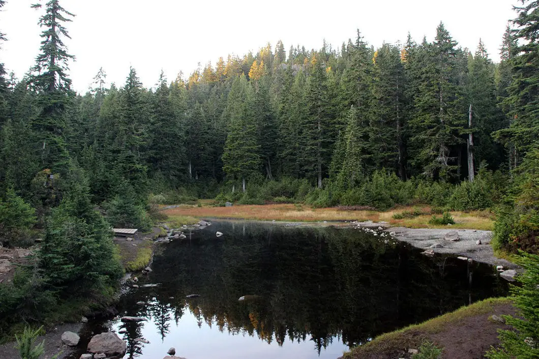
Roughly 900 m into the trail stick to the right, going up a small hill. At the top of the hill, there’s a wooden boardwalk. The trail will drop down again and First Lake will emerge at the bottom of the hill. This is a nice spot to take a quick break.
There is a trail marked to the right for Dinky Peak, which you can take for an extended hike on the way back if you wish. Instead, go straight, staying on the south side of First Lake, in the direction marked for Dog Mountain.
Keep following the trail. The trail is more or less flat but muddy, rooty, and slippery in spots. 15 minutes beyond First Lake, you will come to two small ponds. One pond on the left and one on the right.

As you approach the summit there’s a split in the trail. Make sure you go left, up the final hill to the peak of Dog Mountain. The other trail will have a metal tag marked for Suicide Bluffs.
A note on Suicide Bluffs: Suicide Bluffs is another hiking trail that connects back to the Mount Seymour Trail. It can be taken to complete this hike in a loop back to the parking lot. It is a more difficult and longer route – and is beyond the scope of this guide. It is not officially maintained by Metro Vancouver and the trail does not appear on their map. More than one person has mistakenly gone onto the Suicide Bluffs Trail on the way to or from Dog Mountain. When this happens, hikers who are lost and/or under-prepared, usually need the aid of North Shore Rescue to find their way back out.
Make the final push up Dog Mountain and you’ll emerge onto the rocky bluff of the summit. The views, while partially obstructed by trees, are spectacular. To the west, you can see many nearby peaks including Grouse Mountain, Crown Mountain, Lynn Peak, and Coliseum Mountain. To the southwest, you can see Stanley Park, the Lions Gate Bridge and the Burrard Inlet. To the south, you’ll see Metro Vancouver and the Fraser Valley. To the southeast, you should also be able to spot Mount Baker.
Have a snack, soak up the views, and return along the same route when ready.
Download the PDF version of this guide for offline use

Directions and Parking
Take the Mount Seymour exit off Highway #1 in North Vancouver. Take Mount Seymour Parkway until you come to sign for Mount Seymour Road. Take a left onto Mount Seymour Road and follow it up to the ski hill area. Park your car at the northern end of the top parking lot.
Google Map directions are here.
Other great hikes in this area
- Mount Seymour (difficult)
- Mount Elsay (moderate)
- Mystery Lake (easy)
- View all hiking guides here


Mandy
I went with my 5 year old son and a friend today. The trail was wet, muddy and rooty. It took us more than 5 hours to complete the hike. I think it is misleading to call it an easy hike. If you are going with a little kid, be prepared that it would be a longer hike .