Elfin Lakes Hike – Table of Contents
- Hike Introduction
- Hike Statistics
- Elfin Lakes Video
- Map and Elevation
- Hiking Route Description
- Camping
- Directions and Parking
- Free PDF Download
Elfin Lakes Hike Intro
Elfin Lakes is a popular hiking destination located in Garibaldi Provincial Park near Squamish, B.C. There are two lakes (one swimmable, and one reserved for drinking water), a well-equipped shelter, and a campsite available in a beautiful, subalpine area. Camping at Elfin Lakes also opens up the opportunity to tackle other hiking destinations in the area, such as The Gargoyles, Opal Cone and Mamquam Lake.
With only about 600 meters of elevation gain, this is one of the more moderate hikes in Garibaldi Provincial Park, but no less spectacular than any of the others.
It is also a popular winter trail.
Elfin Lakes Hike Stats
Rating: Moderate
Distance: 22 km
Net Elevation Change*: 600 m
Highest Point: 1,590 m
Time Needed: 6 Hours
Type: Out and back
Season: July to October
Dogs Allowed: No
Est. Driving Time from Vancouver: 1 Hour 30 Minutes
Trailhead Coordinates: 49.750175, -123.053186
*For a better understanding of the stats and difficulty rating, check out the Hiking Guides page for details. Always carry The Essentials and fill out a trip plan.
Elfin Lakes Video
Here is a 2.5-minute video of our experience on this hike!
Elfin Lakes Hike Map and Elevation
Elfin Lakes (one-way)
Profile
Elfin Lakes Hiking Route
The Elfin Lakes hike starts from the gate at the end of the Diamond Head parking lot. There is a map and some area information, along with a dropbox. You can pay cash at the dropbox if you will be camping overnight and didn’t pay in advance online.
From the parking lot, the trail begins behind the yellow gates onto an old road and immediately begins climbing upwards. This first stretch of trail is the remnants of a road that was built to bring guests and supplies into the Diamond Head Lodge which thrived between the 1940’s and 70’s before being left to decay1.
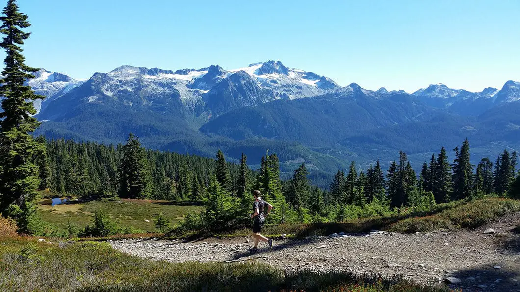
After a few hundred meters, the trail sharply turns to your left, increases in grade, and wends its way up through the forest and into the subalpine. You will follow the road all the way to Red Heather Meadows and shelter. It is a 5 km hike to reach the Red Heather shelter from the parking lot, and should take roughly 1.5 hours. There aren’t any landmarks of note before the shelter, but with a keen eye you can catch a few views of the Tantalus Range to the west through the trees as you make your way up the trail.
Cool fact: “The [Elfin Lakes] name was adopted in 1978 when it was identified in a pamphlet for the local lodge. However, a 1946 letter from W.H. Matthews, a Vancouver City Archivist notes that the lakes were once called Crystal Lakes but were never found on any maps” [source]
Once you reach the Red Heather Meadows area you can use the outhouse, grab a snack in the shelter, and hang out with the resident Whiskey Jacks, before moving on. Depending on the time of year the vibrant colors of the meadow make it well-worth spending ample time here resting your legs.
Worth noting, even though you’re only 5 km from the parking lot, this is true B.C. backcountry. The highest concentration of black bears within Garibaldi Park is found within this area around Red Heather Meadows – so be aware while traveling through here – especially in September and October.1
Camping is not permitted here in the summer, as the subalpine meadow gets a limited window in which to grow each year and is sensitive to being trampled. The shelter is primarily used in the winter for skiers and snowshoers to warm up using the wood furnace.

From Red Heather Meadows to Elfin Lakes
Just beyond the Red Heather Meadows shelter and outhouse, the trail will split in two directions, and there will be a green sign directing hikers to the left. The right is marked for mountain bikers, and is a slightly longer route. However, both trails will merge back together before long.
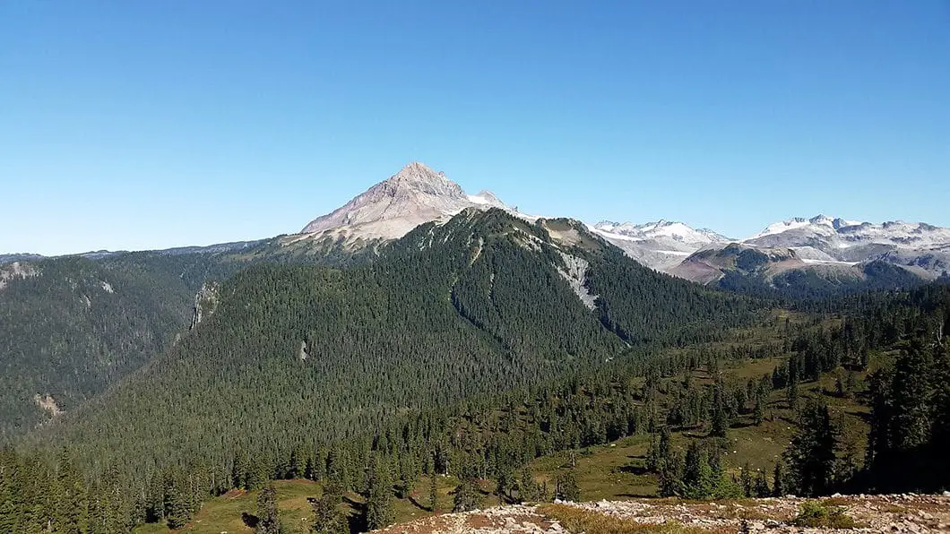
Follow the trail as directed to the left, and you’ll quickly come to a view of Atwell Peak – often mistaken for Diamond Head – which is the southern summit Mount Garibaldi. Atwell Peak was named after Atwell Duncan Francis Joseph King, leader of the first party to reach the summit of Mount Garibaldi in 19071.
After the trail merges back up with the mountain biking route, you will be on a wide gravel road with expansive views around. The trail will climb up further along Paul Ridge, before reaching the high point of 1,590 m. From here the trail continues to follow Paul Ridge, and dips back down before reaching Elfin Lakes at an elevation of 1,470 m.
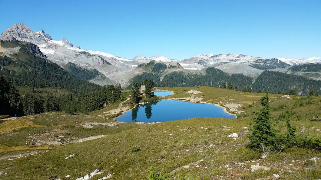
As you descend the trail towards the lake you will have amazing panoramic views – notably, Mount Garibaldi to the left and Mamquam Mountain to the right.
And then there’s the lakes themselves. The top lake is a perfect place to take a dip on a hot August day, however, the lower lake is reserved strictly for drinking water for the campsite.
Download the PDF version of this guide for offline use on any device

Camping at Elfin Lakes Campsite
Camping at Elfin Lakes opens up a few other hiking opportunities:
“Elfin Lakes to Little Diamond Head: Length, 7 km; suggested time, 2 to 3 hours one way; elevation change, 625 metres. This is a fairly arduous hike past the Gargoyles (strange visages sculptured by nature in lava) to 2,100 metre Little Diamond Head.
Elfin Lakes to the Opal Cone: Length, 6.5 km; suggested time, 2 to 3 hours one way; elevation change, 250 metres. Trail leads down to Ring Creek then climbs the Opal Cone, an extinct volcano with a crater. Garibaldi Neve and Mamquam Lake can be seen from the top.
Elfin Lakes to Mamquam Lake: Length, 11 km; suggested time, 4 to 5 hrs one way; elevation change, 570 metres. A strenuous hike that follows the route to the Opal Cone and then continues eastward past the Rampart Ponds. The trail descends to the lake from here. Overnight camping is permitted.[source]”
There is a large hut at Elfin Lakes, primarily used during the winter, but open year-round. The hut is heated by propane and has solar panels for interior lighting.
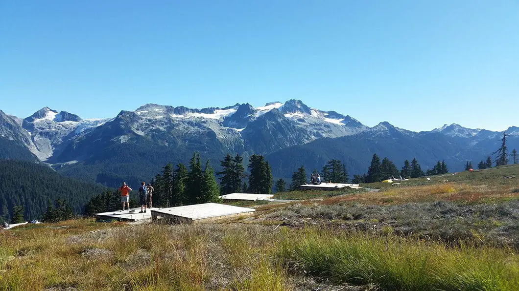
Better than sleeping in the hut, however, is the adjacent campsite with 35 sites and a day-use shelter. It’s hard to find a camping spot with a better view than this. The campsite was moved to the lakes in 2013, and used to be located further down the meadows.
As of 2018, reservations are required for all overnight stays in Garibaldi Provincial Park, year-round, and can be made up to 4 months in advance.
Also, self-registration stations are no longer be available at the Garibaldi Park trailheads as they used to be. All campers must pay in advance using the online system.
More details on the camping in Garibaldi Park and backcountry camping permits can be found here.

Directions and Parking
To get to the trail from Vancouver, take Highway 99 just north past Squamish. As you are driving through Squamish, exit right at the BC Parks sign for Garibaldi Park Diamond Head. This is Mamquam Road, right before the Canadian Tire. It is about 16 km to reach the trailhead from Highway 99, mostly on a narrow, gravel road. The road will steepen and you will pass Quest University. You will eventually see another sign pointing you left, for Garibaldi Park Diamond Head.
Thieves are known to operate in the various parking lots around Garibaldi Provincial Park, so don’t leave anything in your car.
Google Map directions are here.
Other great hikes in this area
- Hiking Opal Cone (difficult)
- Garibaldi Lake (moderate)
- Black Tusk (difficult)
- View all hiking guides here


NA7WHATSAPP OFFICIAL
What an amazing post! The Elfin Lakes Trail sounds absolutely stunning, and your descriptions really bring the scenery to life. I can’t wait to hit the trails and experience the breathtaking views for myself. Thanks for the great tips on what to expect!
sss pinterest official
What an amazing hike! Your photos really capture the beauty of Elfin Lakes. I can’t believe the views – they look breathtaking! Thanks for sharing your experience; I can’t wait to explore this trail myself!
Adam
Completed this hike on June 9th weekend. There is still plenty of snow and some good elevation to make this a fun yet challenging hike. I am really impressed with the hut equipped with solar panel, heat, lights and bunk beds (bring something soft or else it’s like sleeping on hard wood). Also do yourself a favour and take the cyclist path when there’s snow or else you are in for an unmarked path. Overall great experience with great people to meet in the hut!