Elk Mountain – Table of Contents
- Hike Introduction
- Hike Statistics
- Elk Mountain Video
- Map and Elevation
- Hiking Route Description
- Directions and Parking
- Free PDF Download
- 360° Photosphere
Elk Mountain Hike Intro
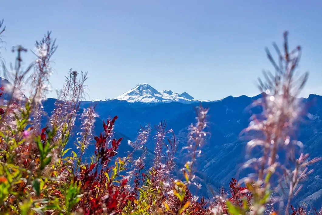
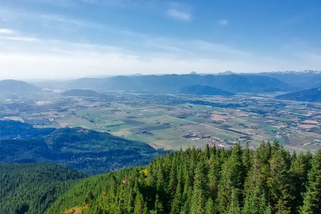
Elk Mountain is a popular hike in Chilliwack. The Elk-Thurston Trail takes hikers 4 km, uphill to an incredible viewpoint overlooking the Fraser Valley. The Elk Mountain lookout pmrovides an endless view that is hard to beat. Cultus Lake and Mount Baker are also prominently featured from the viewpoint.
The Elk-Thurston Ridge, just beyond the Elk Mountain lookout, provides more amazing views of the Chilliwack River Valley, Mount Slesse, Border Peaks, and more.
“The first 3.5 km of trail travels through temperate rainforest before arriving at the first scenic viewpoint. Take some time here to enjoy the sweeping panoramic views of the Fraser Valley. The trail then heads back into the forest briefly before emerging onto the ridge, which is bordered by a beautiful alpine meadow. During the months of June through August, the meadow is in full bloom. As the trail continues along the ridge towards the summit of Elk Mountain, there are impressive views to the south and the southeast of the Border Peaks”. [source: Park sign at the trailhead]
While steep in sections, the 8 km hike isn’t overly demanding, making this a local favourite.
Beyond Elk Mountain, the Elk-Thurston Trail extends a further 4 km to Mount Thurston.
Know before you go: Water is limited (or non-existent) on most of the Elk-Thurston trail. Bring plenty with you. There are also many bears in the area.
Elk Mountain Hike Stats
Rating: Moderate
Distance: 8 km
Net Elevation Change*: 770 m
Highest Point: 1,410 m
Time Needed: 4 Hours
Type: Out-and-back
Season: June to October
Dogs Allowed: Yes, on leash
Est. Driving Time from Vancouver: 1 Hour 45 Minutes
Trailhead Coordinates: 49.104928, -121.820679
*For a better understanding of the stats and difficulty rating, check out the Hiking Guides page for details. Always carry The Essentials and fill out a trip plan.
Elk Mountain Video
Here is a 2-minute video of our experience on this hike!
Elk Mountain Hike Map and Elevation
Elk Mountain
Profile
Elk Mountain Hiking Route
Park your car in the pull-out area (directions) and walk towards the park information board.
You’ll be able to read some info about the hike before beginning, including a history of the trail and the Stó:lō First Nations Tribe.
Just beyond the information board, you will see a trail marked by an ‘Elk Thurston Trail’ sign that goes into the trees. Just up the trail, there is an outhouse on your right.
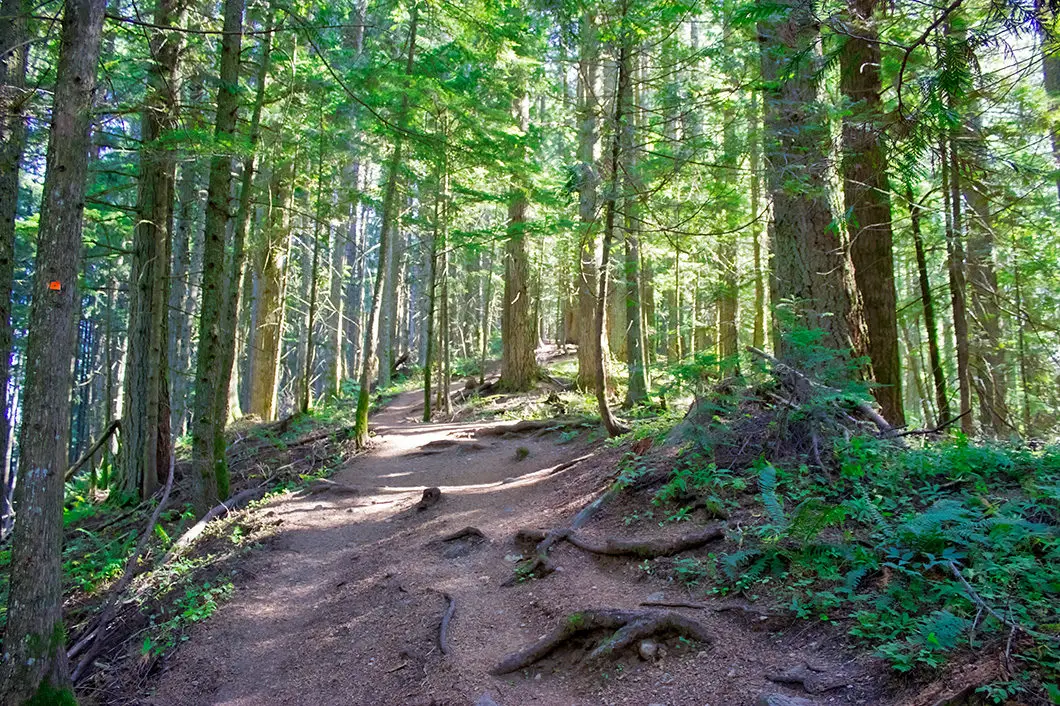
From the outhouse, the trail begins climbing up at a slight grade. The trail is wide, well groomed, and easy to follow. The trail here is smooth and the footing is easy. There are orange, square markers in the trees to guide you along the trail. These markers are along the trail all the way to the Elk Mountain lookout.
About 800 meters, or about 20 minutes into the hike, you’ll drop down to a wooden bridge that crosses over a small stream. This stream will be dry in the late summer. After the bridge, the trail starts climbing up again. And it will keep climbing up.
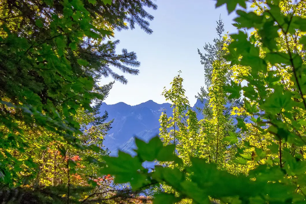
At the 1-kilometer mark, you’ll get obstructed views of the Fraser Valley through the trees to your left.
About 1.5 kilometers (approx. 30 minutes) into the hike, you come out to a gravel service road. Walk across to the other side of the road and you’ll see where the trail continues. The trail is again marked with a large ‘Elk Thurston Trail’ sign.
From the road, the trail keeps climbing up and continues to be well-groomed, wide and easy to follow. Orange markers continue to guide the way.
About 40 minutes in, you might notice a 2 km marker in one of the trees. As you climb up the trail here, there is a gully to your left.
Between the 2 km and 2.5 km point of the hike, the trail climbs up a ridge within the forest.
Shortly after the 2.5 km marker, or about 55 minutes into the hike, the trail begins to get steeper.
As you climb up the steep section you’ll come to a junction where there’s an obstructed viewpoint over the Fraser Valley and Highway 1. It is a quick detour off the path to this quasi-viewpoint. After you’ve had a peak, carry back along the trail heading uphill.
From that ‘lookout’, the trail becomes rootier and footing becomes more difficult. As you gain elevation, the trail will become steeper still, and there will be a few short switchbacks.
You will see a few splits in the trails after the 3 km point. If you notice these junctions, simply follow the direction bearing the orange markers. The trails all seem to merge back together regardless.
About 3.4 km, (approx. 1 hour 20 minutes) into the hike, you’ll come to a big set of wooden stairs. You are nearly at the lookout.
At the top of the stairs, you will emerge from the forest. The ridge opens up and you begin to have amazing views. The 180-degree view overlooks Cultus Lake and Mount Baker. Keep climbing, you are nearly at the lookout and the view gets even better.
As you do a quick hairpin turn and scramble up a rocky section, you’ll come to a rocky outcrop that serves as the Elk Mountain lookout. You get a terrific view south, down the Fraser Valley and over Cultus Lake, and the City of Chilliwack. To the other side of the ridge, you get a nice view further north up the Fraser Valley.
Download the PDF version of this guide for offline use
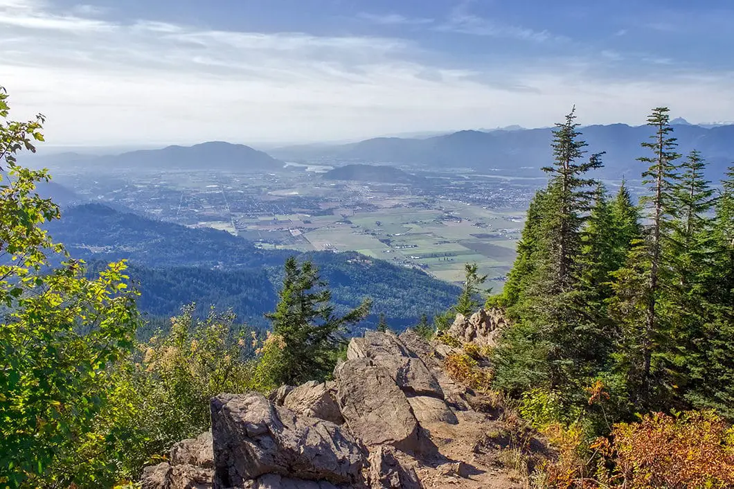
Some choose to stop here and turn back. If you have more energy, it’s well-worth climbing another 15 minutes to another great viewpoint along the Elk-Thurston Ridge.
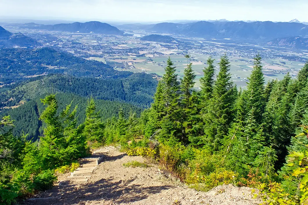
If you continue, the next section is the most difficult of the hike, with a short but very steep and technical section of climbing. Follow the trail up, being careful on the loose dirt. (Keep in mind, coming down is always more difficult). You’ll come to another set of wooden stairs. At the top of the stairs, the ridge flattens out.
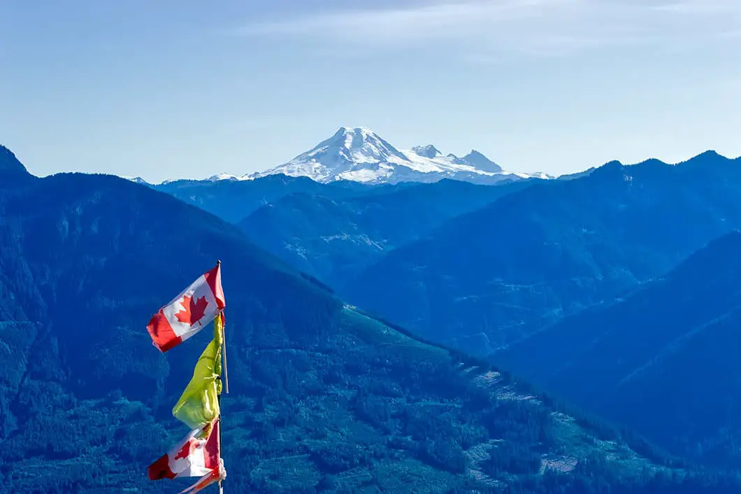
As you walk along the ridge, you are rewarded with incredible views to the south, looking towards the United States. You can still see Mount Baker, but now also have terrific views of Chilliwack River, Mount Slesse, Mount MacFarlane, Tomyhoi Peak, and the American and Canadian Border Peaks.
Cool fact: “Elk-Thurson ridge was one travel route among a series of high mountain trails that connects the Pelho’lhxw (Pilalt) and Ts’elxweyeqw (Chilliwack) Tribes and provides access to Lhilheqey (Mt. Cheam) overlooking the Fraser Valley and Stó:lō (Fraser River). [source: Park sign at trailhead]
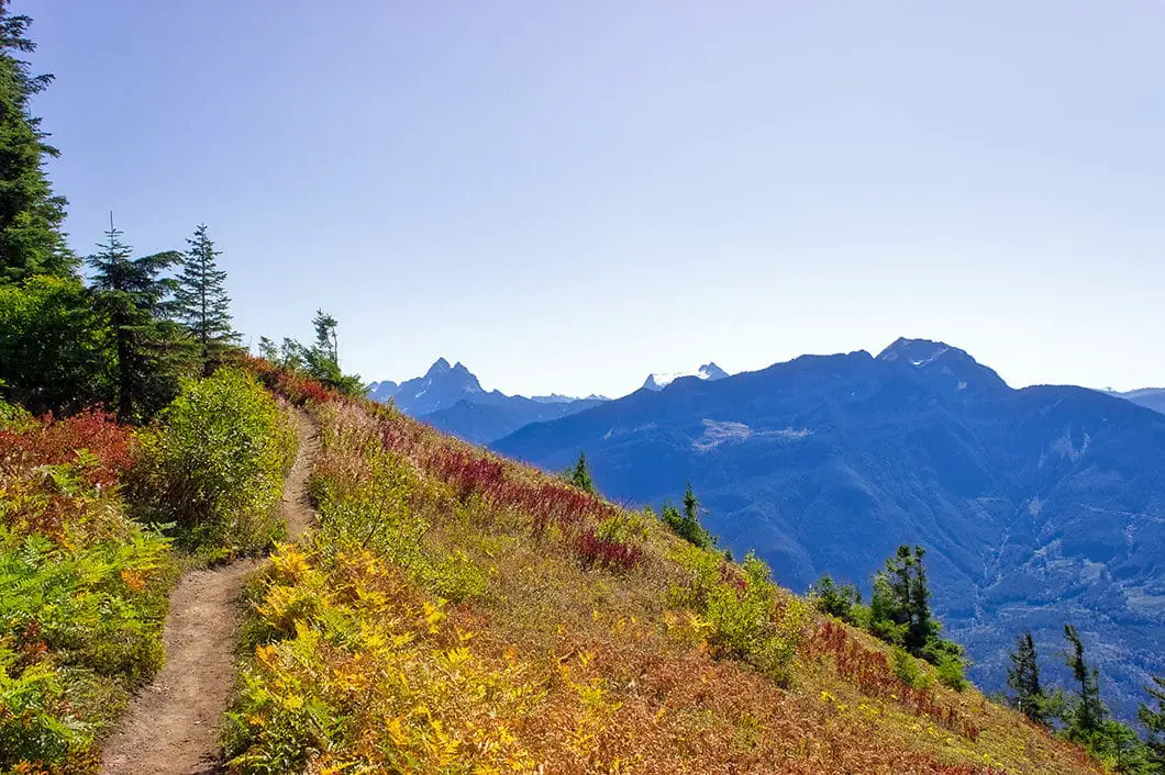
You’ll also see a flagpole bearing a Canadian flag placed for paragliders to judge the wind, as this ridge is used as a jump-off point.
There is a bench near the tree line, and this is a great spot to hang out, eat lunch, and head back when ready. The official summit of Elk is up a hill just further down the trail but doesn’t provide a different view.
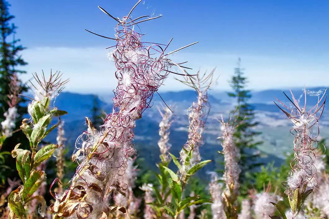
The statistics of this guide reflect stopping and returning from here. But, if you want more adventure, you can travel a further 1.5 km to a second viewpoint, marked by a cairn on a false summit of Mount Thurston. The view is largely the same, but the walk is pleasant, with only a slight incline. If the wildflowers are out along the ridge, it’s a worthy destination.
Beyond that lookout, for those wanting even more adventure, the trail carries on a further 3 km to Mount Thurston proper. That trail becomes more difficult, with some sections of harder navigation.
Directions and Parking
Follow Trans-Canada Highway #1 east to Prest Rd in Chilliwack. Take exit 123. Take a left on Bailey Road and then fork right onto Elk View Road. Elk View Road will wind uphill for a long ways, and turn to gravel for the last kilometer. You will reach a gravel parking area at the trailhead.
Google Map directions are here.
Other great hikes in this area
- Lindeman Lake (moderate)
- Bridal Veil Falls (easy)
- Mount Thurston (moderate)
- Mount MacFarlane (difficult)
- View all hiking guides here


Fraser Valley Conservancy
Watch for the detour route on a main road to the Elk Mountain/Mt. Thurston Trailhead in Chilliwack!
Starting any day now, and lasting a couple of weeks, there will be thousands of tiny toadlets migrating across Elk Road – the main road up to the Elk Mountain Trailhead. They’re almost impossible to see when you’re driving because of they’re no bigger than a dime!
Trail users can help make sure these little guys don’t get squished by using use the clearly marked detour route along Ryder Lake Road! This road still leads to the trailhead, and only adds an extra 400m to your drive.
Thank you for doing your part to save the Western Toads!
Thank you!
-The Fraser Valley Conservancy