Mount Elphinstone Summit – Table of Contents
- Hike Introduction
- Hike Statistics
- Mount Elphinstone Video
- Map and Elevation
- Hiking Route Description
- Directions and Parking
- Free PDF Download
Mount Elphinstone Hike Intro
Mount Elphinstone is a tall peak on the southern Sunshine Coast. The trained eye can pick out this summit from several Sea to Sky and Squamish hikes, such as The Chief.
At an elevation of 1,232 m and 13 km in distance, the Elphinstone Summit Trail offers a good challenge. But the trail is well-maintained and easy enough to follow that we rate it as moderate in difficulty.
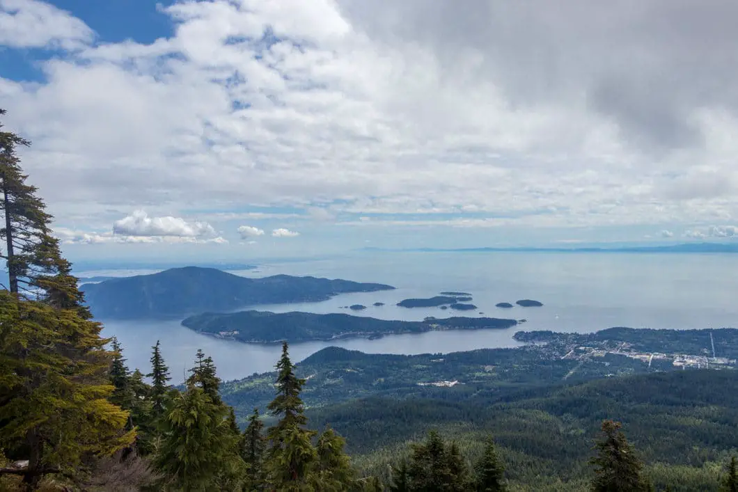
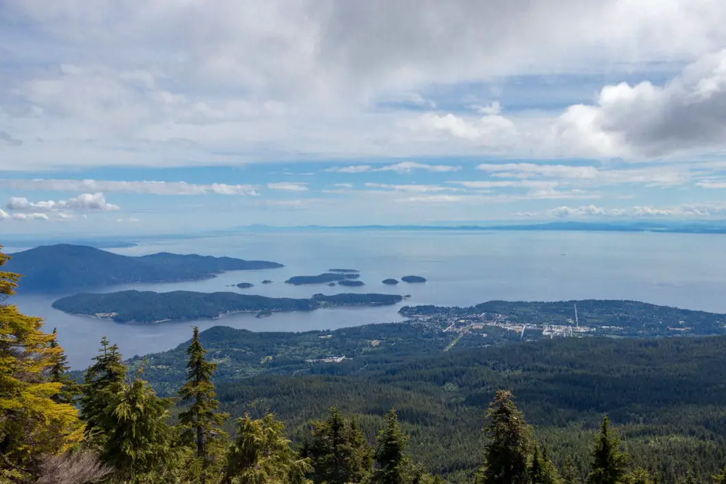
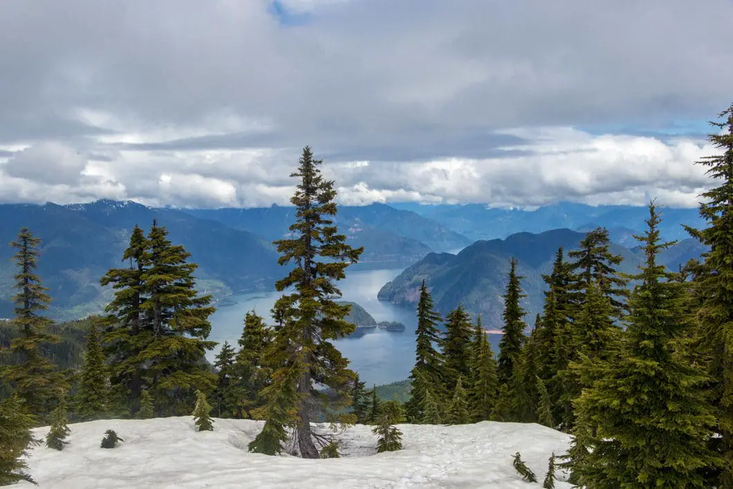
Offering expansive views from the summit, Mount Elphinstone is the perfect day hike for anyone visiting the Sunshine Coast. Vancouver, Gibsons, Bowen Island, and much of Howe Sound can all be seen from the summit.
Mount Elphinstone Hike Stats
Rating: Moderate
Distance: 13 km
Net Elevation Change*: 1,009 m
Highest Point: 1,232 m
Time Needed: 6 Hours
Type: Out-and-back
Season: June – October
Dogs Allowed: Yes
Est. Driving Time from Vancouver: 2 Hours
Trailhead Coordinates: 49.428734, -123.508516
*For a better understanding of the stats and difficulty rating, check out the Hiking Guides page for details. Always carry The Essentials and fill out a trip plan.
Mount Elphinstone Video
Here is a 1.5-minute video of our experience on this hike!
Mount Elphinstone Hike Map and Elevation
Mount Elphinstone
Profile
Mount Elphinstone Hiking Route
The Mt. Elphinstone Summit Trail starts by the SprocKids mountain bike park (directions). From the parking area, find the trailhead near the yellow gate with a ‘private’ sign. Enter the forest and you’ll be on a wide, groomed trail.
There are markers in the trees of a variety of colors: orange, white, blue, red and yellow. To reach the Elphinstone summit, you’re going to follow the yellow trail markers. There are many different trails for biking on the lower part of the mountain, but as you climb higher up, there will be only one trail to follow. All the junctions are well-marked.
The trail will quickly bend to the left, then split in two directions. Go to the right, in the direction with yellow markers. The trail begins to climb up slightly from the junction.
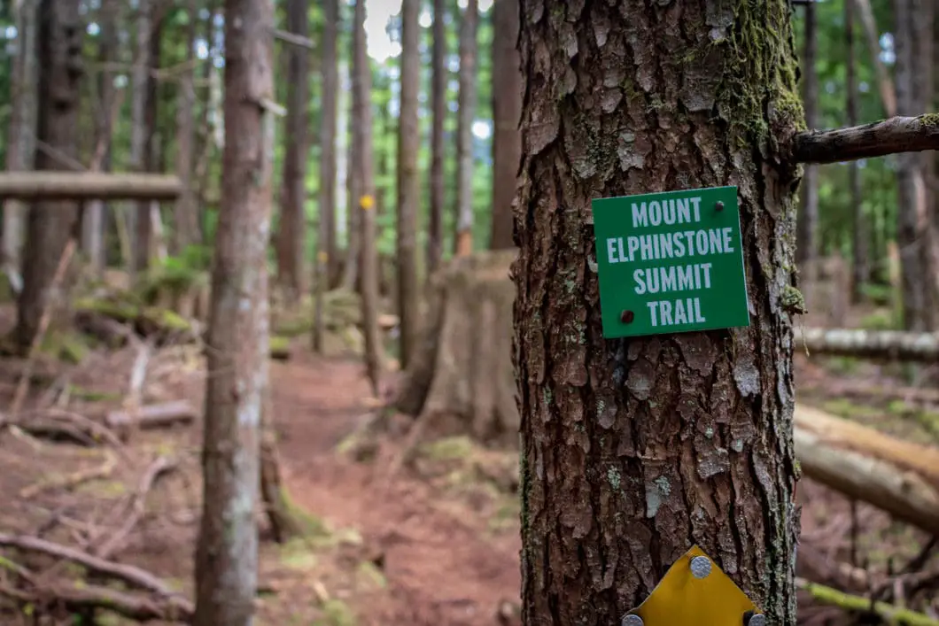
Follow the trail up for two minutes. You’ll see a junction where the trail splits into three. If you look carefully, on the left you’ll see a green marker that reads ‘Mt. Elphinstone Summit Trail’, and the yellow markers. Take this trail to the left.
The trail begins to climb a little more steeply than before.
About 400 meters into the hike, there is another junction. You’ll come to a park map and start to hear Langdale Creek of water running off to your right.
There are too many side trails and junctions to mention them all, but there is almost always a yellow marker in sight.
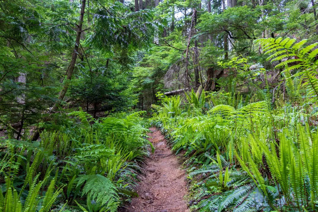
The trail will head into an area less heavily forested with bushes and birch trees. You come to a split, where you will go straight, again following the yellow markers. The trail narrows here, becoming singletrack.
You will soon pass by three abandoned cars just off the right-hand side of the trail.

Shortly after the cars, there is another junction where you will stay left. You will see a sign in the tree for Langdale Falls in the other direction.
About 800 meters in, the trail begins to steepen slightly, and becomes more rugged with bigger rocks.
At 1.15 km, the trail will veer to the right and flatten out briefly before continuing uphill.
The trail, wide and easy to follow, continues climbing at a steady rate.
After about 50 minutes, or 2.3 km, the trail temporarily levels out. To the right, you can hear rushing water again down below. Here the trail climbs up a ridge, with a steep embankment down to the right.
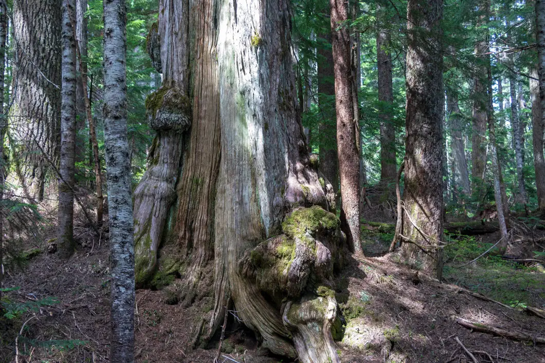
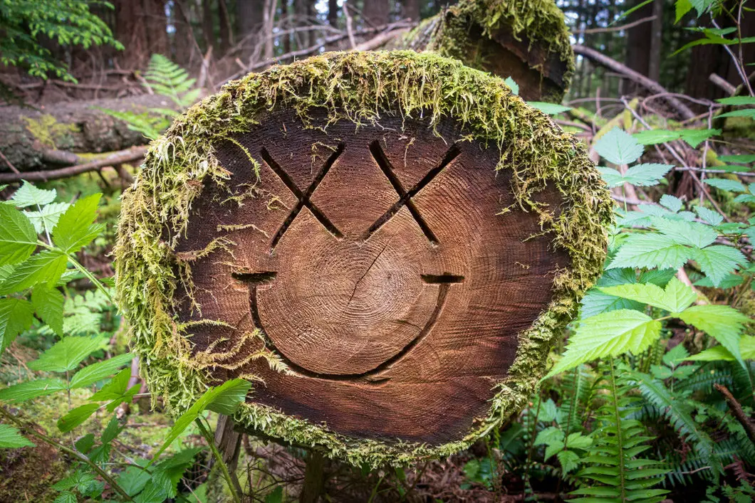
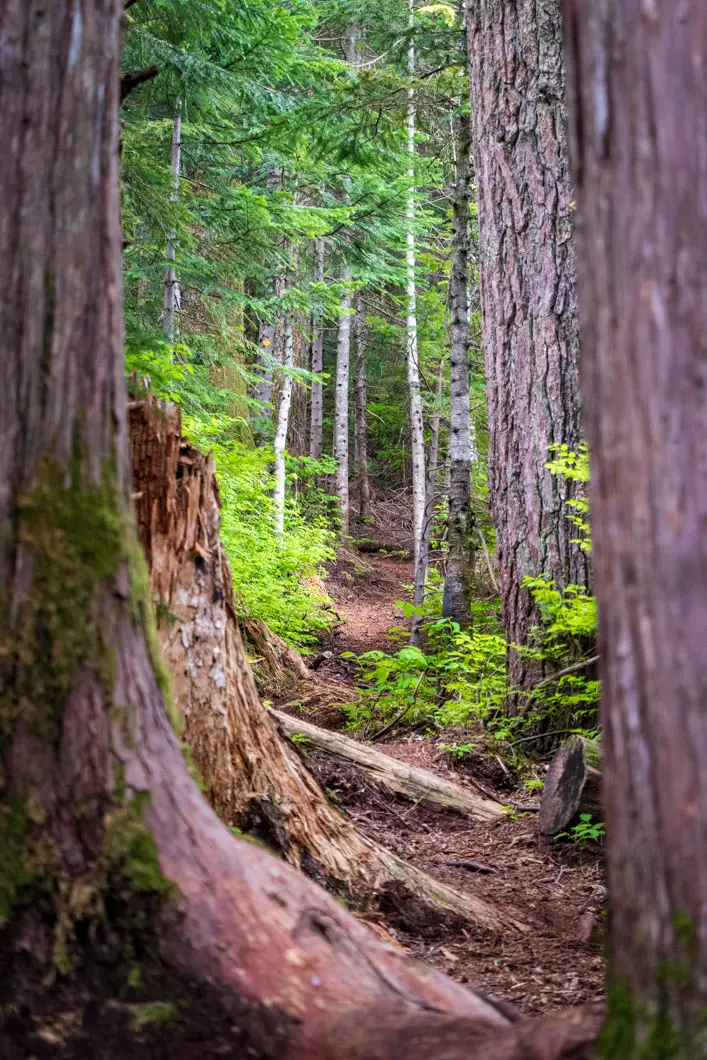
You will see more and more remnants of the old growth forest that was cut down long ago, with massive stumps everywhere. The forest here consists of hemlock, cypress, and fir trees.
The trail keeps climbing along the ridge, and roughly 2.8 km in, or 1 hour, there is another creek off to the left.
In another 500 m or so, you’ll get some glimpses of Langdale creek down to the right. Just keep following the ridge. There are no more junctions in this stretch or anything noteworthy about the trail.
Roughly 3.6 km, or 1 hour 20 minutes into the hike, you’ll reach a sign that says the trail is dangerous and difficult in the winter. Just past this point, you’ll see a nice small waterfall on your right.
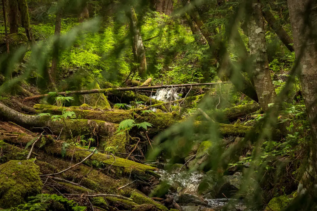
After the waterfall, you’ll be walking alongside the creek. You’ll soon cross over the Langdale Creek and start walking away from it. The forest here is lush green and mossy.
The trail quickly steepens again and before long you’ll hear the creek now off to your left.
About 1 hour 45 minutes, or 4.8 km into the hike, you’ll get a partial view of a big waterfall off to your left. The trail now begins to get more technical, with more roots.
In the spring, the trail here may start to become muddy. There will be several small stream crossings in this area, and the trail can be slippery and slow-going.
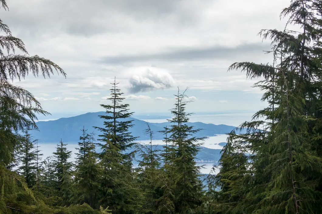
After one of the creek crossings, you’ll get partial views of Howe Sound as the trail flattens out.
Download the PDF version of this guide for offline use
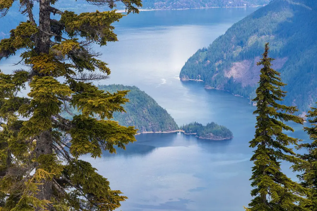
At about 5.6 km, you’ll come to one of the nicest views of the hike so far, overlooking Howe Sound. You’ll also be able to find one of the green ‘Mount Elphinstone Summit Trail’ markers. The trail then carries up back into the forest and away from the view.
You will soon come to a marshy area with some boardwalks and another green Summit Trail marker.
As you begin the final approach to the Mount Elphinstone summit from the ponds, the trail begins to get very steep. The last stretch of trail to the summit is the most difficult part of the hike.
As you climb, you will come to a junction for Dakota Creek Roads. Stay straight, in the direction marked for the Mt. Elphinstone Summit Trail. This junction comes at about 6.25 km, 1,068 m elevation, and 2.5 hours of hiking.
You will push up to a false summit, and you actually need to follow the trail up to your right for the final push. There is a short but steep and technical section with a rope to assist your climb.
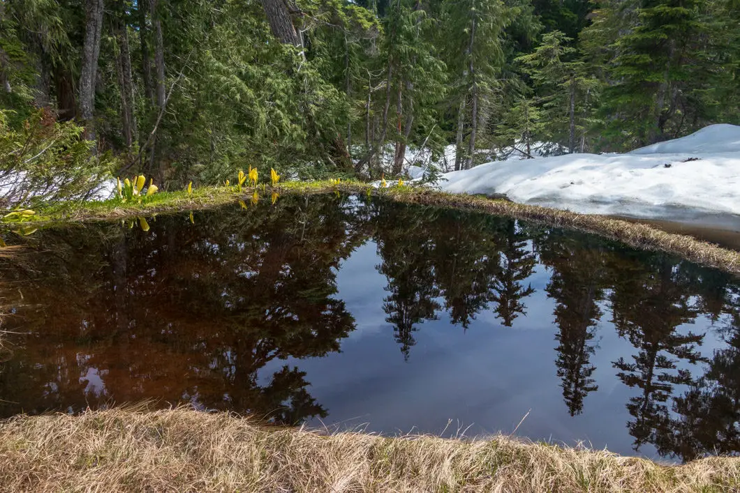
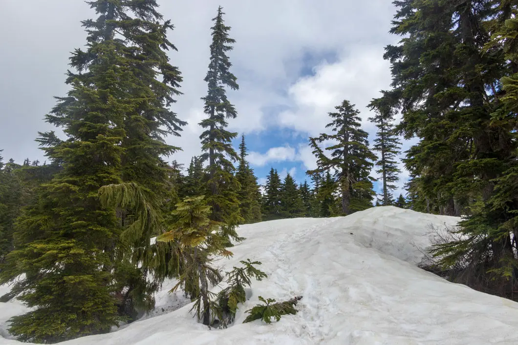
As you climb out into the opening, you will come to a magnificent view overlooking Gibsons, Bowen Island, Keats Island, Vancouver, Richmond and beyond to the United States. This is probably the best spot to stop, enjoy the views, and have lunch.
However, the true summit is still about 5 minutes away up one final hill. Keep carrying up the trail and back into the trees briefly for one final climb.
You will come out to a radio/cell tower and more incredible views. The views from here are partially blocked, but give you a different perspective into the surrounding area.
Enjoy the views, and when you’re ready retrace your steps back to the parking area.
Directions and Parking
Coming off the Langdale Ferry, go straight through the intersection onto the Sunshine Coast Highway. After a few minutes, you will come to a T-intersection. Go right, towards the SprocKids mountain bike park. Just up the hill, you’ll turn right and find parking available on the gravel road.
The trailhead is just down the road, near the yellow gate, marked ‘private’
If you want to leave your car and walk onto the ferry, there is a connector trail from the end of Wharf Road in Langdale. This will add about 45 minutes in each direction to the hike.
Google Map directions are here.
Other great hikes in this area
- Mount Gardner (moderate)
- Pender Hill (easy)
- Smuggler Cove (easy)
- View all hiking guides here
Download the PDF version of this guide for offline use


Eve Kidd
Do you know if wilderness camping is permitted/possible at the peak of elphinstone?
Karl W
There are no tent pads or facilities, but you could wilderness camp. I’ve only been once and there was snow cover at the summit, so I’m not sure how hard/easy it would be to find a suitable spot.