Garibaldi Lake – Table of Contents
- Hike Introduction
- Hike Statistics
- Garibaldi Lake Video
- Map and Elevation
- Hiking Route Description
- Camping in Garibaldi Park
- Directions and Parking
- Free PDF Download
Garibaldi Lake Hike Intro
Garibaldi Lake in Garibaldi Provincial Park is a stunning, glacier-fed lake that sits 1,450 m high, surrounded by snow-capped mountains, glaciers, alpine meadows and volcanic structures. It is a great day hike, and even better camping destination. Camping at Garibaldi Lake provides opportunities to explore other nearby hikes such as Black Tusk and Panorama Ridge.
There are 50 campsites at the lake, which are only available by reservation through the Discover Camping website.
This is a very popular hike, so expect crowds unless you go outside of July and August, which is when the flowers are in full bloom.
Garibaldi Lake Hike Stats
Rating: Moderate
Distance: 18 km
Net Elevation Change*: 810 m
Highest Point: 1,450 m
Time Needed: 5 – 6 Hours
Type: Out-and-back
Season: June to October
Dogs allowed: No
Est. Driving Time from Vancouver: 90 Minutes
Trailhead Coordinates: 49.957284, -123.120488
*For a better understanding of the stats and difficulty rating, check out the Hiking Guides page for details. Always carry The Essentials and fill out a trip plan.
Garibaldi Lake Video
Here is a 2-minute video of our experience on this hike!
Garibaldi Lake Hike Map and Elevation
Garibaldi Lake
Profile
Garibaldi Lake Hiking Route
Starting at the Rubble Creek parking lot, it is a 9 km hike to reach Garibaldi Lake. The first 6 km take you up through a forest of plentiful Western Red Cedar and Douglas Fir trees.
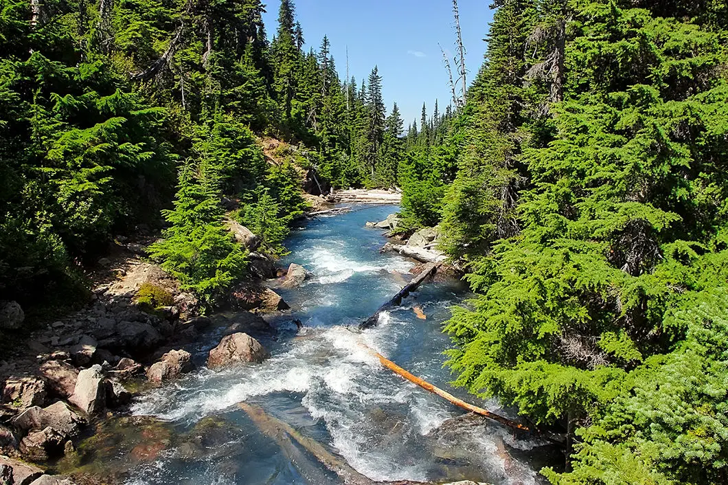
Around the 30 minute mark of the initial ascent along the Garibaldi Lake Trail / Rubble Creek Trail, there is a creek crossing, and the only opportunity for water for a long while. The next hour or so of climbing is not very noteworthy – just a relentless uphill battle. If you’re camping and have your heavy backpack, the continuous switchbacks on the steep trail can be especially grueling. Put your head down and count off the kilometer markers: 3. 4. 5…
A few minutes past the 5 km marker you will get a nice view of The Barrier, which is a lava dam that actually contains the Garibaldi Lake system and is 300 m thick on the containing wall. The sheer cliff you see was formed during a massive landslide in 1885, which is also how Rubble Creek received its name. If The Barrier were to collapse, Garibaldi Lake would release down onto the town of Squamish below, and it is thought the impact-wave hitting Howe Sound could even reach Vancouver Island. [1]
Just beyond the 6 km marker, there is a major junction with options for Taylor Meadows campground or Garibaldi Lake. Here, you will be at 1,360 m elevation. The junction is a good point to take a break, and if you bring some bird-seeds, the whiskey jacks here will eat out of your hand. Please don’t feed them human food.

Alternate route: If you want to head left at this junction, towards Taylor Meadows, you can do so creating a partial loop to the lake. If you head left here, you will pass the Taylor Meadows campground, and carry on towards Black Tusk Meadows. There is a large junction where you can follow the trail down to Garibaldi Lake. This route adds some time, distance, and elevation to the stats above, but not a significant amount.
From the 6 km junction, take the trail to the right. Most of the elevation gain is behind you. During the final 3 km towards Garibaldi Lake, you will pass by Barrier Lake and Lesser Garibaldi Lake. Both are beautiful, but only provide a taste of what’s to come. You will also get a wide, open view of The Barrier.
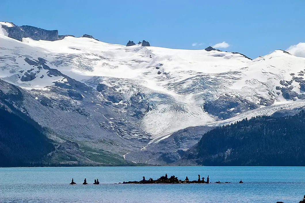
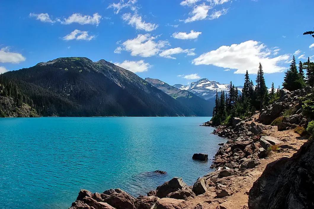
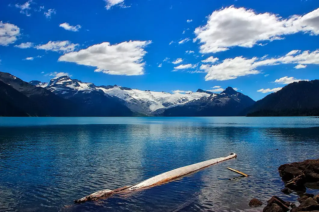
Along the way, you will cross a few small creeks that feed into Lesser Garibaldi Lake. After leaving Lesser Garibaldi Lake you’ll cross a wooden bridge over Taylor Creek. 20 minutes later you’ll come to another fork which can take you up into Taylor Meadows. Stay on the path for Garibaldi Lake and you will quickly be descending down a few final switchbacks to the lake. Once you get around the final bend, you are rewarded with the spectacular view of the pristine, turquoise Garibaldi Lake, and Sphinx Glacier hovering above it.

Cool fact: The turquoise colour is caused by “rockflour” (sediment from the glacier) that is suspended in the water and absorbs and scatters the sunlight.
Garibaldi Lake is 5 km long, 4 km wide, and 300 m in depth. Alongside the lake, you will find a few day-use cooking shelters, pit toilets and the campground. Now you can set up your tent, have lunch, and take a dip in the chilly lake if you wish to cool down. ‘Chilly’ might be an understatement. There are also trout in the lake which were introduced in the 1920s, so fishing can be done here. If you are camping overnight, you should still have time to climb up Panorama Ridge or Black Tusk and return to the campsite before sunset. To return to the parking lot from Garibaldi Lake, simply retrace your steps.
Download the PDF version of this guide for offline use

Camping at Garibaldi Lake
Camping is permitted at Garibaldi Lake and nearby Taylor Meadows. As of 2018, reservations are required for all overnight stays in Garibaldi Provincial Park, year-round, and can be made up to 4 months in advance.
Self-registration stations are no longer be available at the trailheads as they used to be. All campers must pay in advance using the online system.
More details on the camping in Garibaldi Park and backcountry camping permits can be found here.
Directions and Parking
Take Highway #99 heading north passed Horseshoe Bay towards Squamish. Keep driving along the Sea to Sky highway all the way to Squamish. Once you hit downtown Squamish, watch your odometer and keep driving north for about another 37 km.
Keep a sharp eye out for the Garibaldi Provincial Park sign on your right. Just over the Rubble Creek Bridge you will take a right onto a small paved road that is not hard to miss. Just continue on for a few kilometers until you reach the Rubble Creek parking lot.
There is a Google Map with Directions here.
Other great hikes in this area
- Hiking Black Tusk (difficult)
- Hiking Panorama Ridge (difficult)
- Hiking Elfin Lakes (moderate)
- Hiking Watersprite Lake (moderate)
- View all hiking guides here


James
LOST
Camped overnight at Garibaldi Lake on June 16 and have lost my GoPro5 (black with an extendable handle). If anyone happens to come across it, please contact me at 6476206169 or [email protected], will give reward in return as all my footage from the trail was on there :’)
Apart from that, the lake itself was beautiful, 5.5 hours up with heavy backpacks and 3.5 hours down. Crampons recommended as there was lots of snow near the top.
Alex Marees
Has anyone ever camped at Garibaldi Lake in October? Trying to make reservations but the website will not let anyone book beyond Sept. 30th. Any suggestions for how to go about doing this? Should we just get day passes and go up there without reservations?
JT
Thanks for the info and nice pics!
Is it possible to hike the panorama ridge in one day?
Also, I will be hiking solo. if anyone happens to be in Whistler from Aug 2 – Aug 6. Let’s go together !
Karl W
Glad it helps! It’s possible but not easy. Years ago I think I started around 4 or 5am, summited Black Tusk and Pano Ridge and was back at my car by 1pm – but I was doing a lot of ultra running in those days. I travelled light and jogged sections of the trail.. so it would just depend on your fitness and pace.
Shashi
Beautiful hike even in winter. The road to the Rubble Creek parking lot is now plowed but a 4WD/AWD is recommended. I did this hike with a friend on Jan 30 and were able to do it under six hours. I have shared my experience here –
https://shashishanbhag.com/trek/garibaldi-lake-winter-hike/