The Flatiron – Table of Contents
- Hike Introduction
- Hike Statistics
- The Flatiron Video
- Map and Elevation
- Hiking Route Description
- Camping at Flatiron
- Directions and Parking
- Free PDF Download
- 360° Photosphere
The Flatiron Hike Intro
The Flatiron Peak is one of several fantastic hikes at the Coquihalla Summit Recreation Area, near Hope.
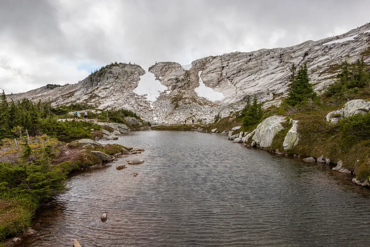
The hike up to the summit is enjoyable and scenic. A tarn sits below the summit and is a popular spot for camping.
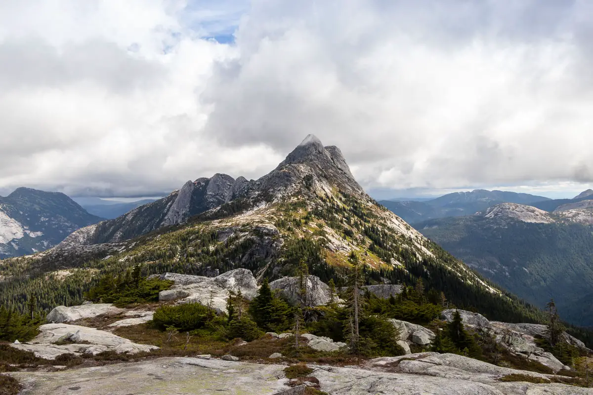
The summit has incredible 360-degree views. Yak Peak, Needle Peak, Ilal Mountain, Coquihalla Mountain, and Portia Peak can all be seen, among other mountains.
The Flatiron is an easier hike than the nearby Needle Peak, as the scramble to the top is much less exposed. Some will tackle both summits in one outing. If doing so, we recommend tackling the more difficult Needle Peak first, as you’ll want to make sure you have all your energy for that difficult ascent.
Be prepared for wind and rapidly changing weather conditions on this hike.
The Flatiron Hike Stats
Rating: Moderate
Distance: 10.5 km
Net Elevation Change*: 697 m
Highest Point: 1,898 m
Time Needed: 5 hours
Type: Out-and-back
Season: July to September
Dogs Allowed: Yes, on leash
Est. Driving Time from Vancouver: 2 hours
Trailhead Coordinates: 49.594830, -121.122488
*For a better understanding of the stats and difficulty rating, check out the Hiking Guides page for details. Always carry The Essentials and fill out a trip plan.
The Flatiron Video
Here is a 4-minute video of our experience on this hike!
The Flatiron Hike Map and Elevation
The Flatiron
Profile
The Flatiron Hiking Route
The first 3.3 km of this hike follows the same trail that takes you to Needle Peak. If you want a more detailed description of the first 3.3 km, read our description for that hike. Here, we will describe this initial portion of the route in a more abbreviated form.
Starting from the parking area (directions) off the Coquihalla Highway, follow the path west, away from the large shed. After crossing over a small stream, you’ll find the trailhead marked with a B.C. Parks sign for the Needle Peak saddle.
The trail climbs sharply, and it is well-marked with orange markers. Follow the trail, and within roughly 45 minutes you will start to emerge into the sub-alpine.
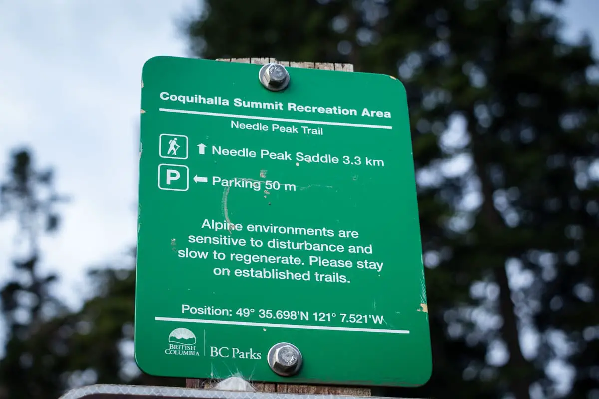
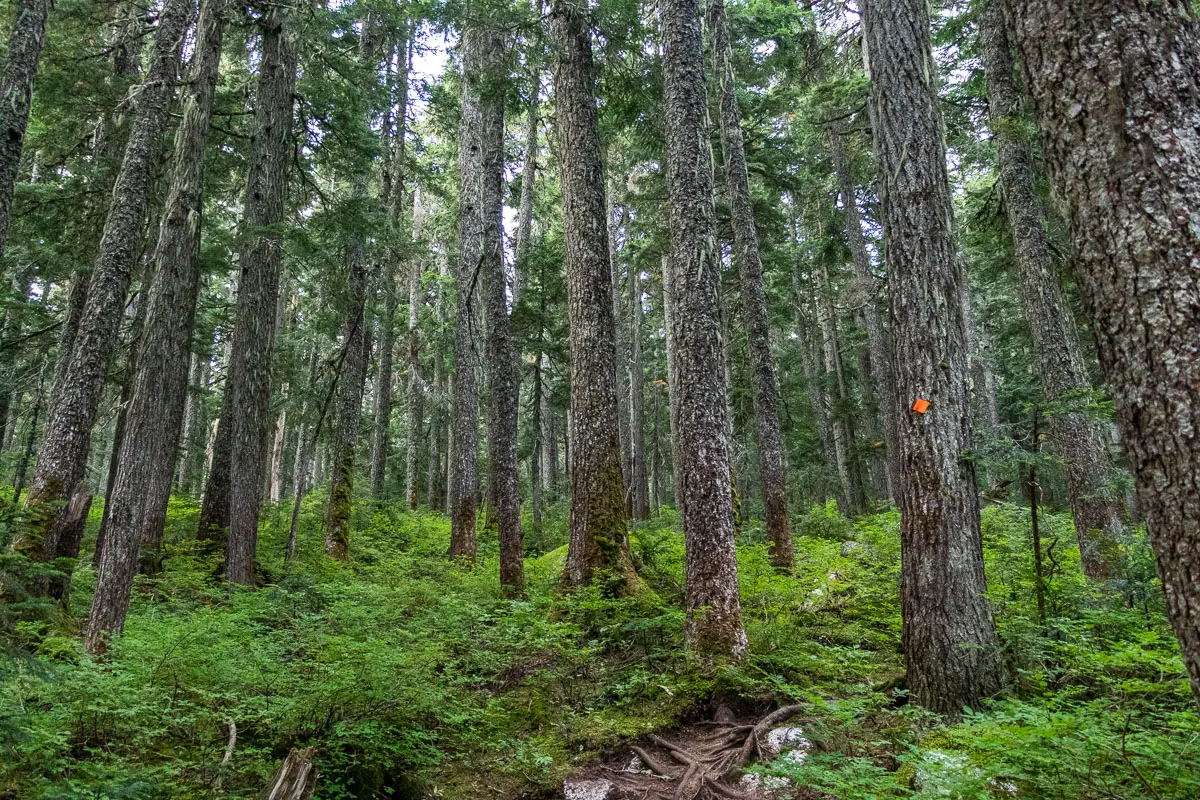
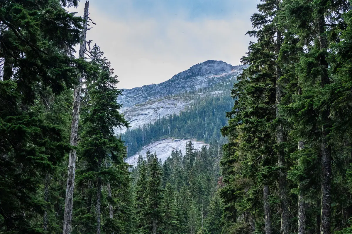
Looking behind you over the other side of the Coquihalla Highway, you will have views of Yak Peak and the Anderson River Group. Ahead of you, you will get a nice view of Needle Peak.
Soon, the trail comes to a section of granite rock before returning to a dirt path.
Continue climbing up the trail, which is now less steep than before, until you reach the saddle between Needle Peak and Flatiron Peak.
Cool fact: Established in 1986, Coquihalla Summit Recreation Area lies in the territories of the Nlaka’pamux, Sto:lo, and Yale First Nations. The recreation area’s 1990 master plan identifies classification as a Class A Provincial Park as an objective – which has not yet occurred”. [Source]
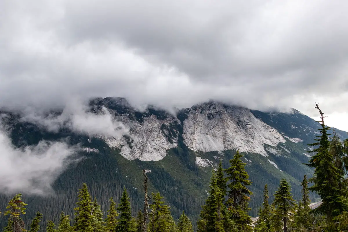
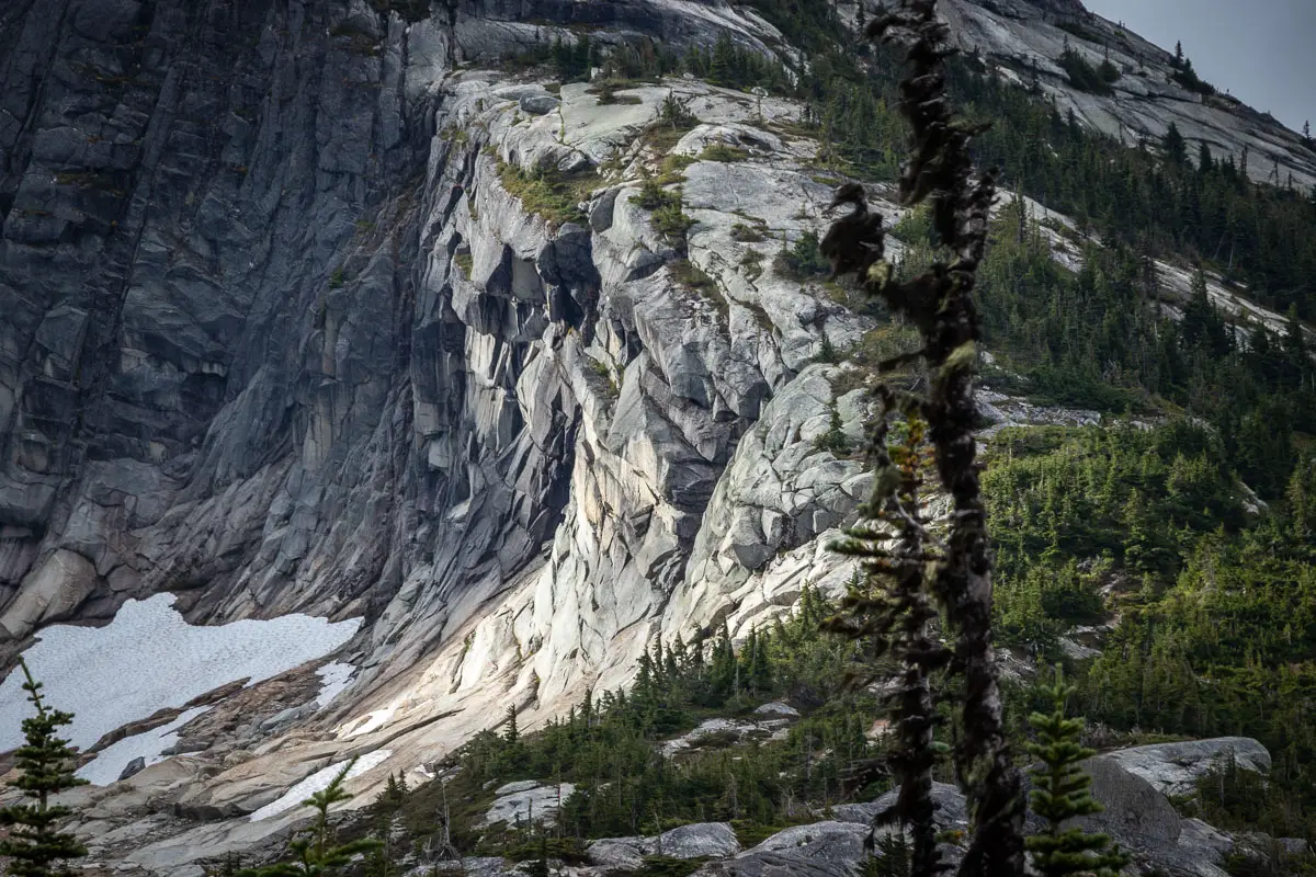
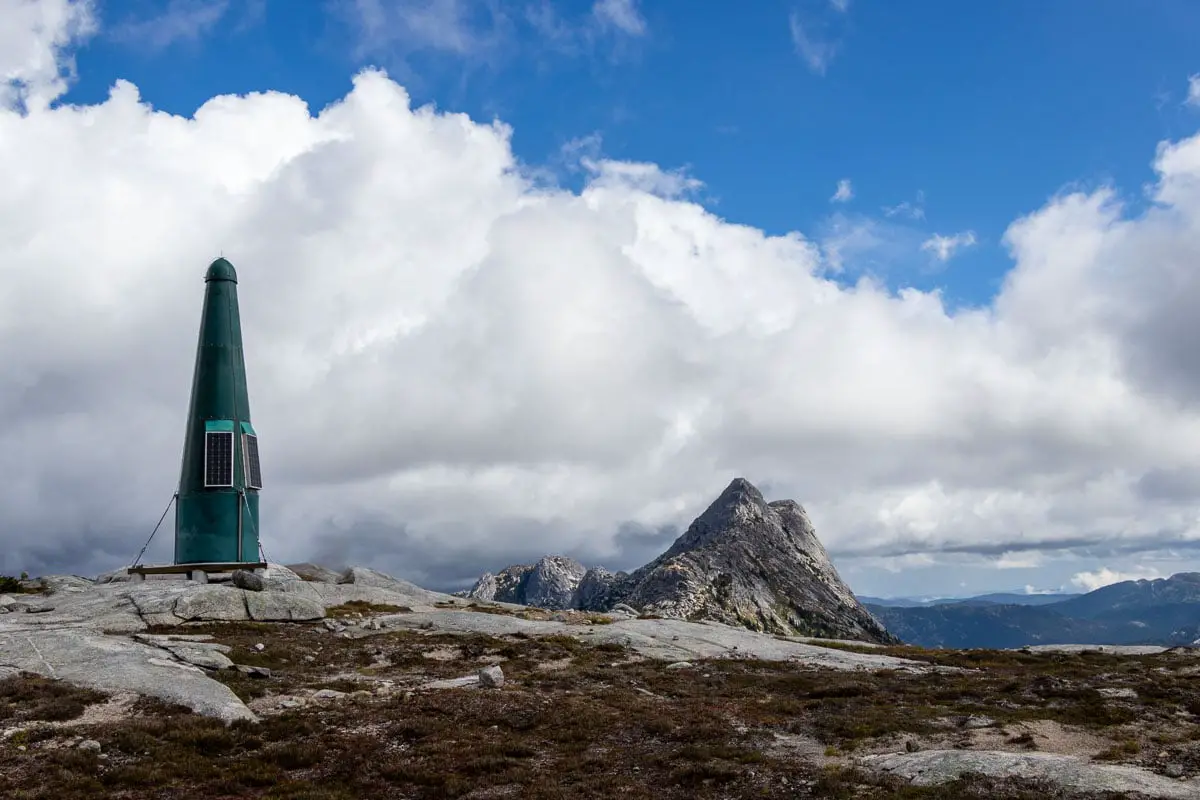
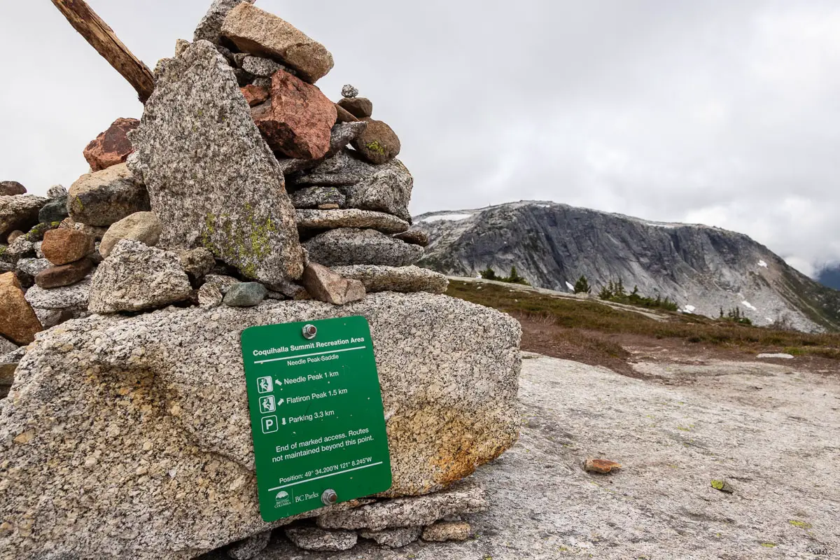
Find the B.C. Parks trail marker at a large cairn. Needle Peak will be looming large to your left. Off to your right, you will see Flatiron Peak, and you should be able to spot the green, rocket-shaped communication tower on its summit.
From the saddle, it will take you about 30 – 45 minutes to reach a small, unnamed lake that lies below Flatiron Peak. And another 15 minutes to reach the summit from there. The summit of The Flatiron is 1.5 km from the B.C. Parks marker at the saddle.
From the saddle, stay to the right (southwest) and follow the path heading towards The Flatiron. There are several worn paths but they all end up connecting. There should also be some pink and orange flagging. Just make sure you aren’t climbing uphill, towards the summit of Needle Peak on the left.
After a few minutes, the trail will begin to drop in elevation. Follow the trail to the bottom. Before long, the trail will start climbing uphill again.
You will be on the right-hand side of the ridge and will have incredible views towards the Coquihalla Highway on your right.
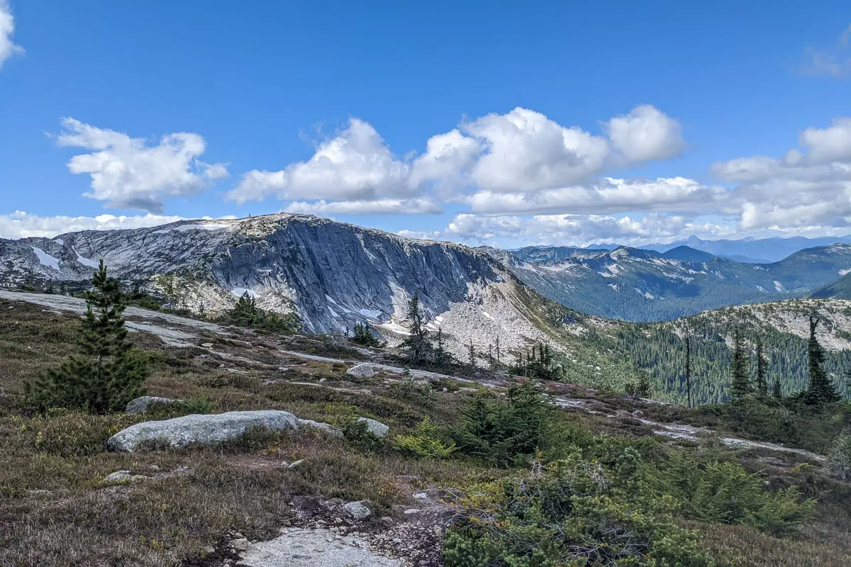
There’s a small stream that runs down from the lake below Flatiron, which will be on your left.
Keep following the trail up until you reach the lake. This is the most suitable area for camping (details on camping below).
To reach Flatiron Peak, find the path on the other side of the lake. Pick your line and carefully make your way up to the top. Along the climb, you can stop to enjoy the amazing views behind you, including Needle Peak. There is a light scramble up the rocks, but nothing nearly as dangerous as nearby Needle Peak’s ascent.
The summit area is a large, open space with plenty of room to explore and find a spot to rest.
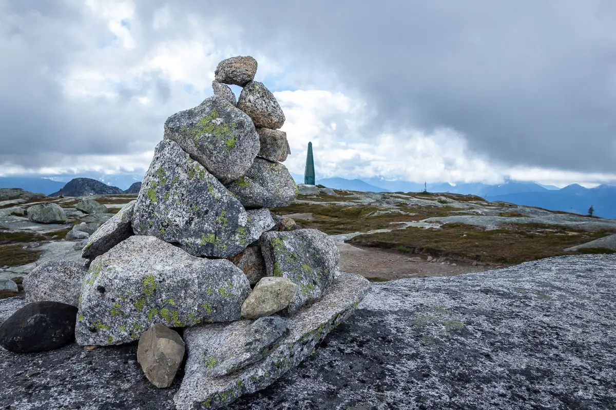
You’ll find a large cairn that marks the true summit, which sits at 1,898 meters.
Nearby, the large, green weather station is interesting to check out as well.
You can enjoy the incredible panoramic views, before heading back down to the lake and retracing your steps back to the parking lot.
Camping at The Flatiron
Backcountry camping at Flatiron Peak is allowed. Fires are not permitted.
There are lots of spots to camp around the lake, but not many with protection from the wind. There are no bathroom facilities, so please take care to keep your waste away from the lake, which is a drinking water source.
Hanging food can also be an issue, as there aren’t many suitable trees in the immediate nearby area.
Download the PDF version of this guide for offline use
Directions and Parking
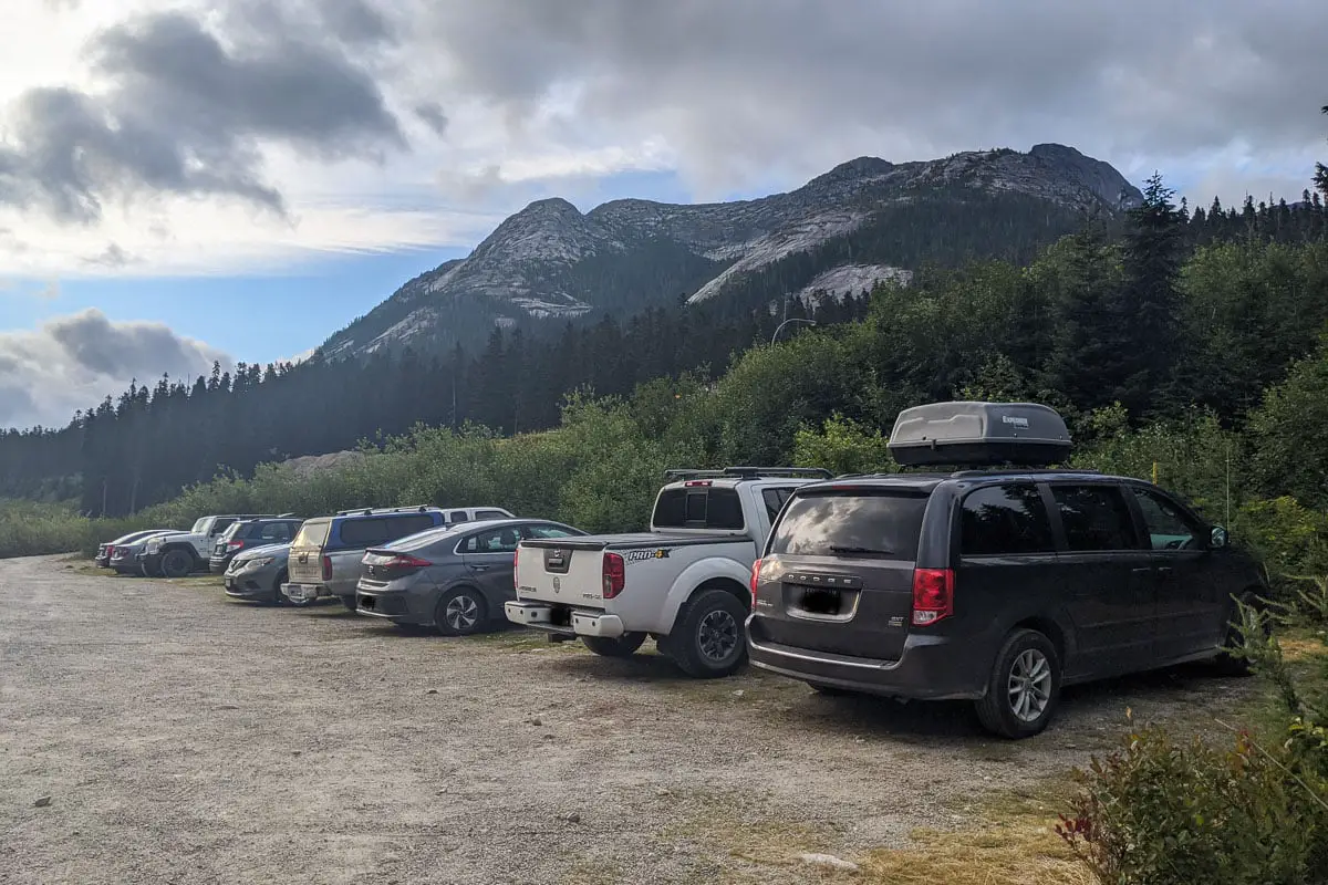
Take Highway #1 towards Hope. From Hope, continue north on Highway #5 (Coquihalla Highway).
As you reach the Coquihalla Summit, take exit #217. On your right, before taking the tunnel underneath the Coquihalla, turn right onto the dirt road. Follow the road back west a short way, and park in an available space.
Google Map directions are here.
Other great hikes in this area
- Needle Peak (difficult)
- Falls Lake (easy)
- Yak Peak (moderate)
- View all hiking guides here


Nicole Roy
This information is very helpful, thank you!