Flint & Feather – Table of Contents
- Hike Introduction
- Hike Statistics
- Flint and Feather Video
- Map and Elevation
- Hiking Route Description
- Directions and Parking
- Hike rating
- Free PDF Download
Flint & Feather Hike Intro
The Flint and Feather Trail is a route that leads up Grouse Mountain. It is an alternative trail to the popular Grouse Grind and BCMC trails.
The Flint and Feather is a nice alternative to the Grouse Grind because it has less traffic, no stairs, and offers a purer hiking experience. It also has an incredible viewpoint, which you don’t get along the BCMC or Grouse Grind trails.
However, the Flint and Feather Trail is much more difficult than the Grouse Grind. There are no markers, making route finding necessary. Inexperienced hikers may get lost on this trail and should stick to the heavily trafficked and well-marked Grouse Grind or BCMC.
Also, the Flint and Feather Trail has one difficult section of scrambling which requires climbing with hands. This opens up the possibility of serious injury. Because of the scramble, this hike should only be attempted during dry conditions. During rain, the rocks are slippery and the chance of a fall increases significantly.
As such, this hike should be left for experienced hikers.
The routes up the Grouse Mountain are closed during the winter months due to snow. Please check the current Grouse Grind hours to see when you can access the Flint and Feather Trail.
Flint & Feather Hike Stats (one-way)
Rating: Difficult
Distance: 3 km
Net Elevation Change: 798 m
Highest Point: 1,092 m
Time Needed: 1 -2 Hours
Type: Point-to-point
Season: May – October
Dogs Allowed: No
Est. Driving Time from Vancouver: 30 Minutes
Trailhead Coordinates: 49.371239, -123.098348
*For a better understanding of the stats and difficulty rating, check out the Hiking Guides page for details. Always carry The Essentials and fill out a trip plan.
Flint & Feather Video
Here is a 4-minute video of our experience on this hike!
Flint & Feather Hike Map and Elevation
Flint and Feather
Profile
Flint & Feather Hiking Route
This guide takes us onto the Flint and Feather via the BCMC Trail. There is a way to access the Flint and Feather via the Grouse Grind, but that route is not covered here.
To access the Flint and Feather Trail, you will start at the base of Grouse Mountain, at the start of the Grouse Grind Trail. At the fence for the Grouse Grind Trail, there is an information board with details on the current trail hours and wildlife sightings.
Begin the hike at the Grouse Grind chip timer and begin walking up the trail. Immediately, there is a marked junction. The left is marked for the Grouse Grind and going to the right is marked for the Baden-Powell and BCMC trails. Go right, onto the Baden-Powell Trail in the direction of the BCMC.
Follow the Baden-Powell Trail markers and follow the trail as it climbs up gradually.
After five minutes, you’ll come to another junction. Going left here reconnects with the Grouse Grind Trail, so stay right on the Baden-Powell.
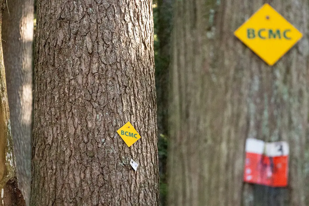
Soon, you will come to another junction that is marked for the BCMC. You will go left here, uphill. There are orange and white tags in the trees, some reading ‘BCMC’. The entire BCMC Trail is also marked sequentially starting at the bottom. Periodically, there are large, white tree markers that start at 1/50 and finish with number 50/50 at the top.
We will follow these markers to number 11.
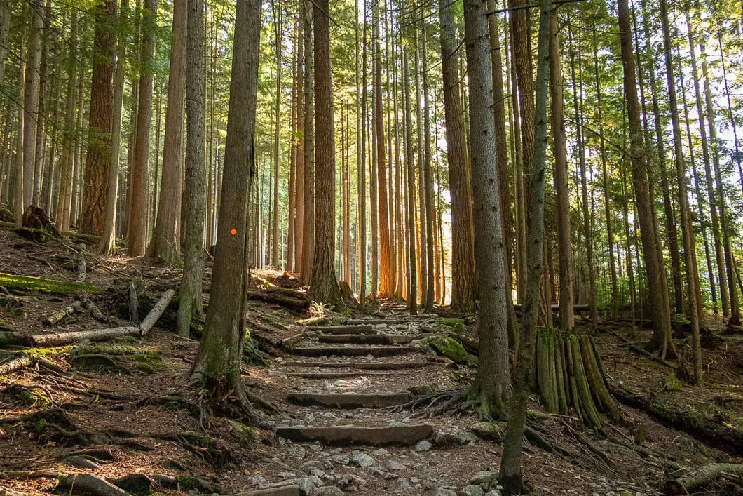
As you get onto the BCMC, the trail becomes steep and there will be a creekbed off to your left.
Climb your way up the steep trail until you reach BCMC marker 11/50. Here, you will need to pay attention, as the Flint and Feather Trail is not marked and is easy to miss.
Just past marker #11, there is a hairpin turn in the trail, and off to the left of this corner, there is a trail that leads towards the creek. The trail carries along a narrow ledge above an embankment before dropping down to the creek.
As you reach the creek, follow the trail up along the right-hand side a short way. Pay careful attention as you walk up alongside the creek for a minute or two. You’ll be able to see where the trail crosses over the creek and picks up on the other side.
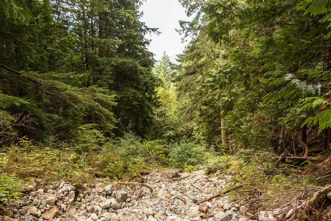
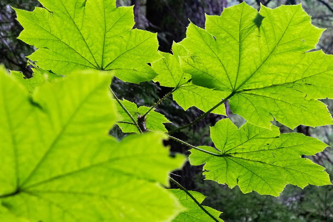
On the other side of the creek, the trail continues climbing uphill again.
There are no markers whatsoever and in some points, there are multiple paths, so you will have to pay attention. Use your better judgement and route-finding skills to stay on the trail.
The trail climbs up steadily and sharply as you would expect from a trail that parallels the Grouse Grind. The trail is technical and full of tree roots. Unlike the Grouse Grind, there are no stairs built to make the climb easier.
Continue chipping away at the elevation and eventually, you will come to a scramble up an exposed section of rock. This is the most difficult and dangerous section of the hike. The viewpoint lies just above.
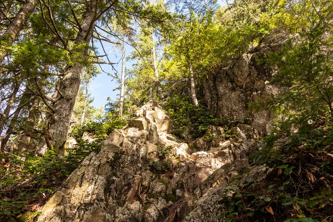
If you stay slightly right as you climb up the rock, you should be able to find the path of least resistance. Take your time and use extreme caution in this section of the hike.
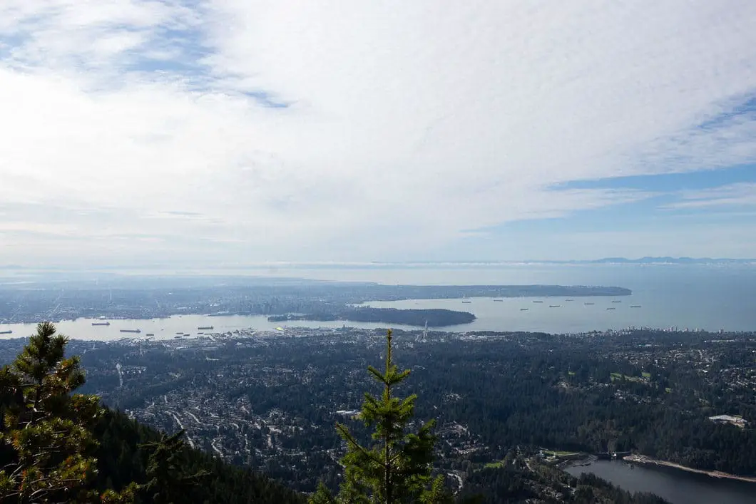
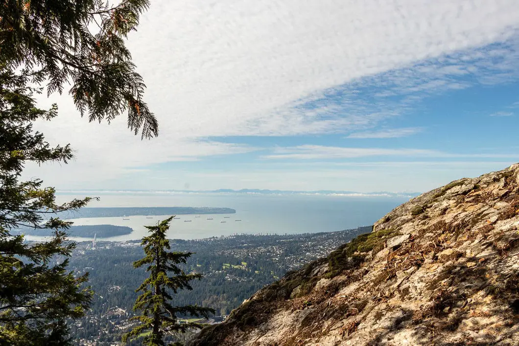
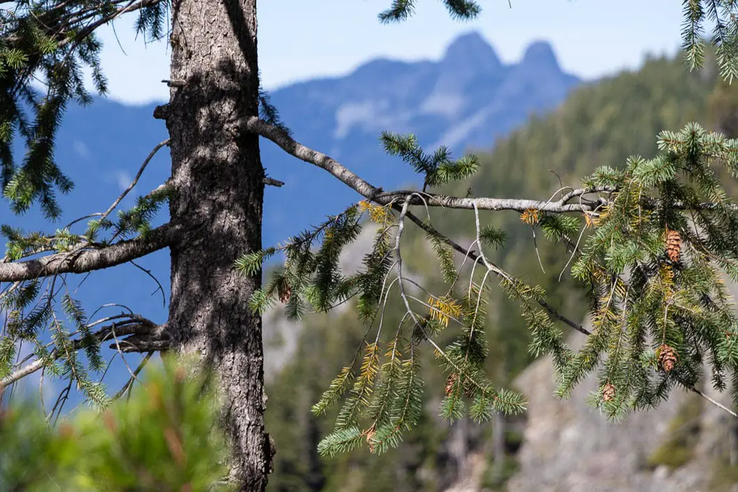
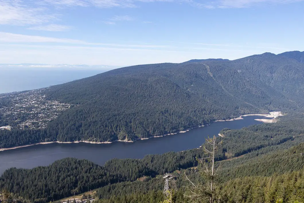
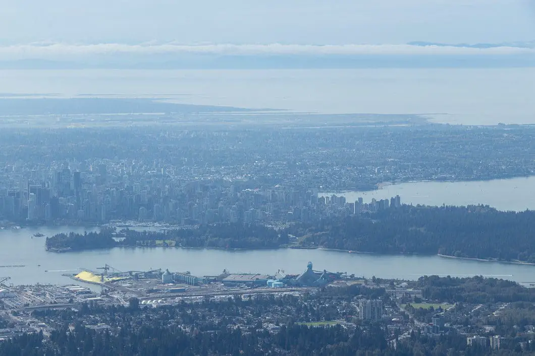
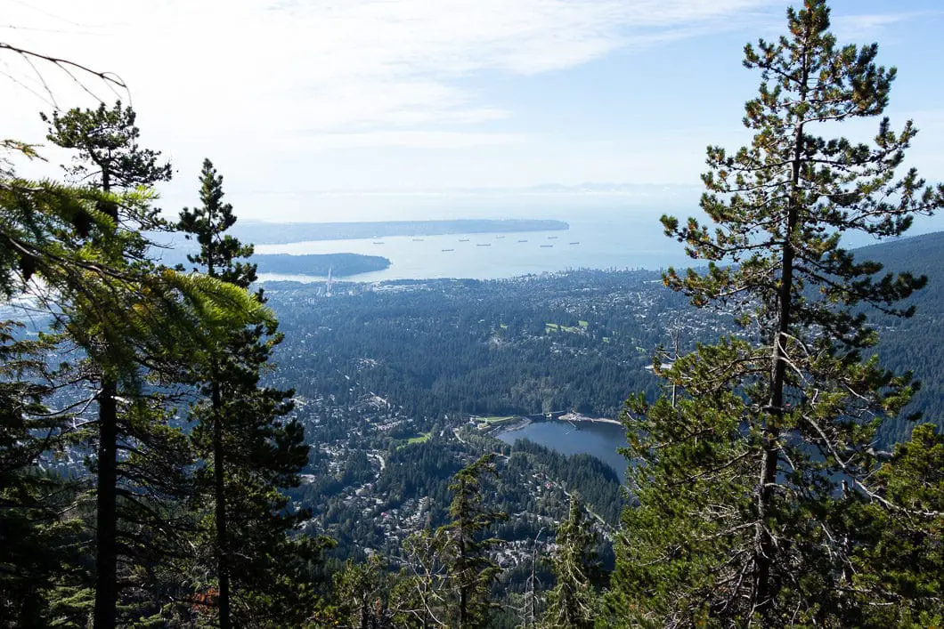
As you scramble up the exposed rock, you’ll come to a ledge with ample space to find a seat and enjoy the view. From this lookout, you can see south to Vancouver, Stanley Park, English Bay, North Vancouver, Capilano Lake, and to Richmond. To the west, you can see over to Vancouver Island, and even catch a nice view of Cypress Mountain and The Lions.
Enjoy the view and when you’re ready you can continue up the trail. It’s about another twenty to thirty minutes to reach the top, but it doesn’t get any easier.
Carefully continue up the steep and technical climb and make sure you stay on the main trail.
Cool fact: The Flint and Feather Trail was named after a collection of poems by Pauline Johnson (link).
Download the PDF version of this guide for offline use
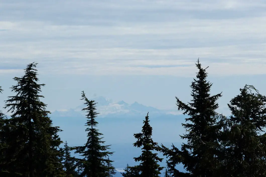
As you climb, you will continue to have partial-views through the trees behind you. At one point, you’ll even get a view to the southeast and can catch a glimpse of Mount Baker.
Eventually, the Flint and Feather Trail spits you back out onto the BCMC trail, right before BCMC marker 45/50.
If you want, you can hang a right on the BCMC and head straight back down the mountain. Downclimbing the Flint and Feather is not recommended due to the section of scrambling.
Otherwise, go left onto the BCMC and follow the trail the rest of the distance to the Grouse Mountain Lodge.
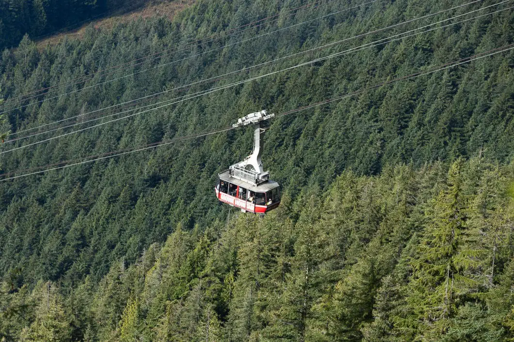
From the lodge, you can enjoy a meal before climbing down the BCMC, or you can buy a ticket to take the Sky Ride gondola back to the parking lot. Down-climbing is not permitted on the Grouse Grind Trail.
If you want to make a full day of things, other great hiking opportunities start from the Grouse Mountain Lodge. Great options are Dam Mountain, Crown Mountain and Goat Ridge.
Directions and Parking
From the Upper Levels Highway (HWY #1), take exit #14, heading north onto Capilano Road. Capilano Road will turn into Nancy Green Way. Follow Nancy Green Way to the end, where it reaches the Grouse Mountain parking lot.
The Grouse Mountain parking is all pay parking. There is some limited free parking on the right-hand side of the road as you approach the parking lot.
Google Map directions are here.
Other great hikes in this area
- Grouse Grind (difficult)
- BCMC Trail (difficult)
- Dam Mountain (moderate)
- View all hiking guides here
Download the PDF version of this guide for offline use


AP
Given this trail’s easy access, the fact it unsanctioned and beginning to show signs of overuse with significant erosion is it prudent to make public posting of it?