Flood Falls – Table of Contents
- Hike Introduction
- Hike Statistics
- Flood Falls Video
- Trail Map
- Hiking Route Description
- Directions and Parking
- Free PDF Download
Flood Falls Hike Intro
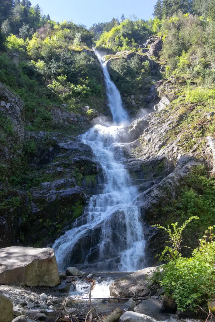
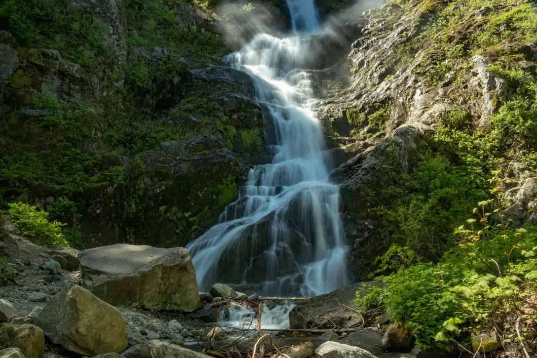
Flood Falls (also known as the Flood-Hope Falls) is a quick and easy hike starting alongside Highway 1 in Hope. Located just 20 minutes north of Bridal Veil Falls in Chilliwack, Flood Falls is less-often visited, but no less impressive.
As the entire hike can be completed casually in about 30 minutes, it’s a great option for families, and anyone wanting to stretch their legs during a long drive through Hope.
The heavily forested trail and the stream flowing from the falls make it a nice, cool hike on a hot day.
The waterfall is extremely tall and narrow, and can be spotted briefly while driving along the highway.
The spring is the best time of year to view the falls, when the water flow is at its peak. In the late summer, the falls may be little more than a trickle. During periods of the winter, it may be frozen to a stand-still.
Flood Falls Hike Stats
Rating: Easy
Distance: 1 km
Net Elevation Change*: 80 m
Highest Point: 120 m
Time Needed: 30 minutes
Type: Out-and-back
Season: Year-round
Dogs Allowed: Yes
Est. Driving Time from Vancouver: 1.5 Hours
Trailhead Coordinates: 49.362455, -121.519274
*For a better understanding of the stats and difficulty rating, check out the Hiking Guides page for details. Always carry The Essentials and fill out a trip plan.
Flood Falls Video
Here is a 2-minute video of our experience on this hike!
Flood Falls Hike Map
Flood Falls (one-way)
Profile
Flood Falls Hiking Route
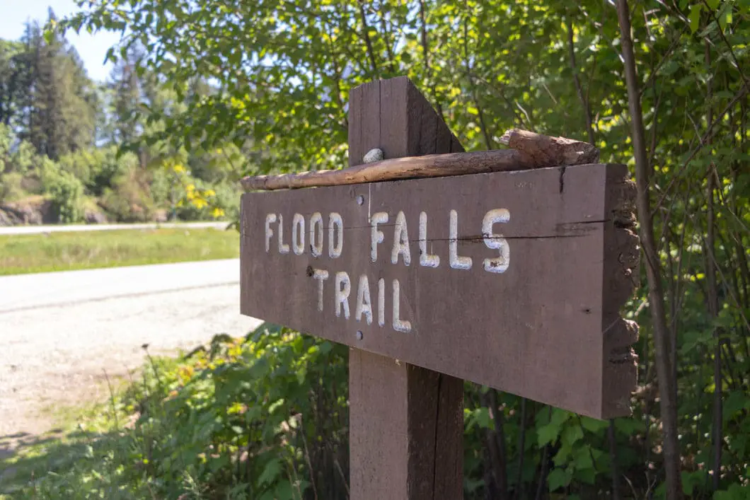
The start of the trail is clearly signed “Flood Falls Trail” by the pullout on the side of the road (directions). Walk into the trees and onto the trail.
The trail begins at a slight incline. You’ll quickly hear and see a creek running on your right, which breaks out into several different veins. The trail will follow up along the left side of the creek all the way to the waterfall.
Late in the summer, the creek bed may be dry.
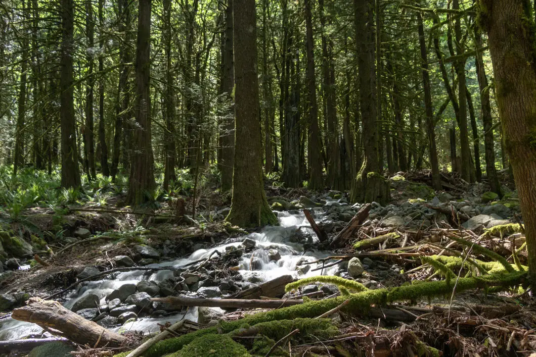
The temperature is nice and cool in the heavily-forested area. There are no markers on the path, but the trail is obvious.
As you approach the falls, you’ll come around a bend and see the falls ahead. Keep following the trail right up to the base of the falls. It shouldn’t take more than fifteen minutes to reach the base of Flood Falls.
The entire hike is at a gentle incline, which steepens just slightly for the final few hundred meters.
As with all waterfalls, keep a safe distance and be wary of rocks and logs being hurtled down from above you.
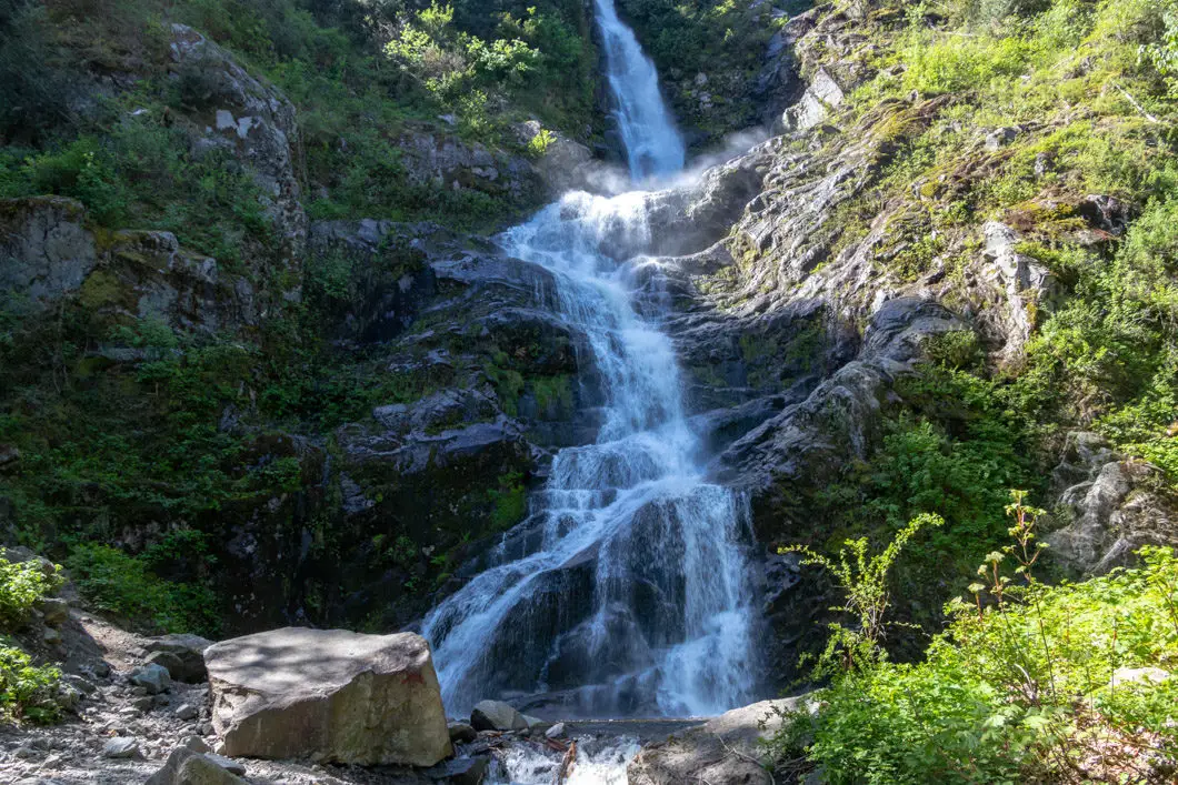
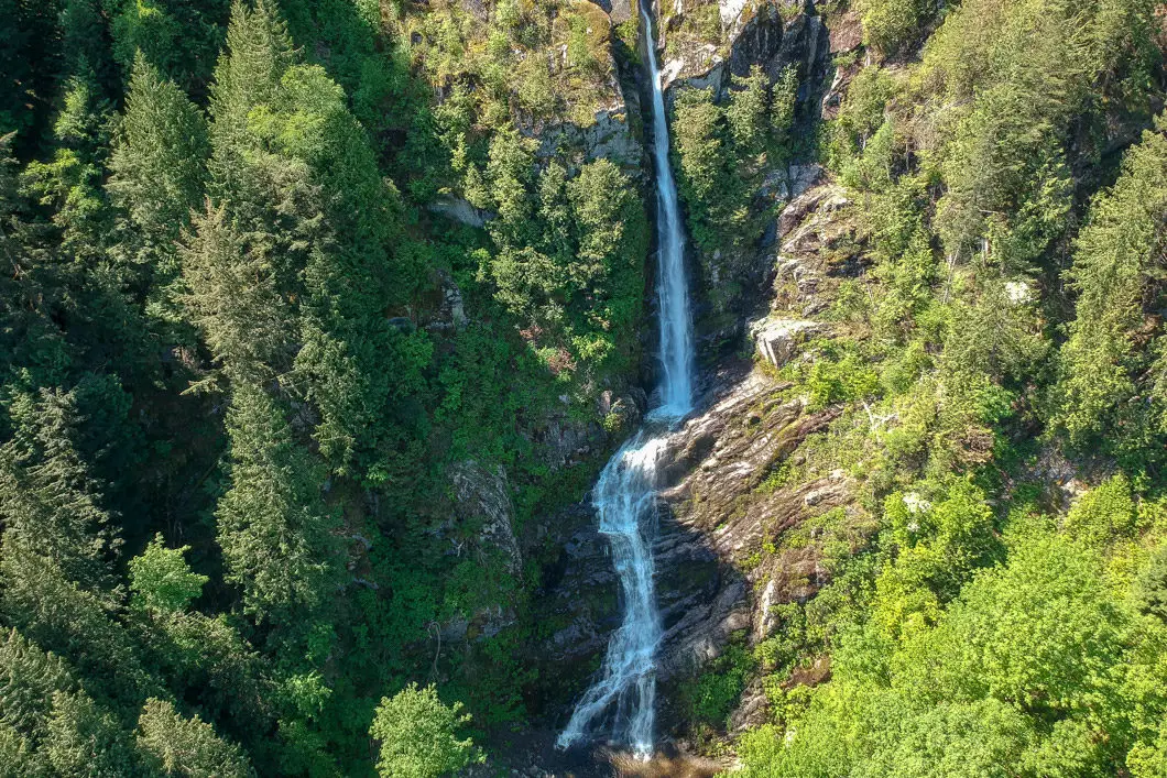
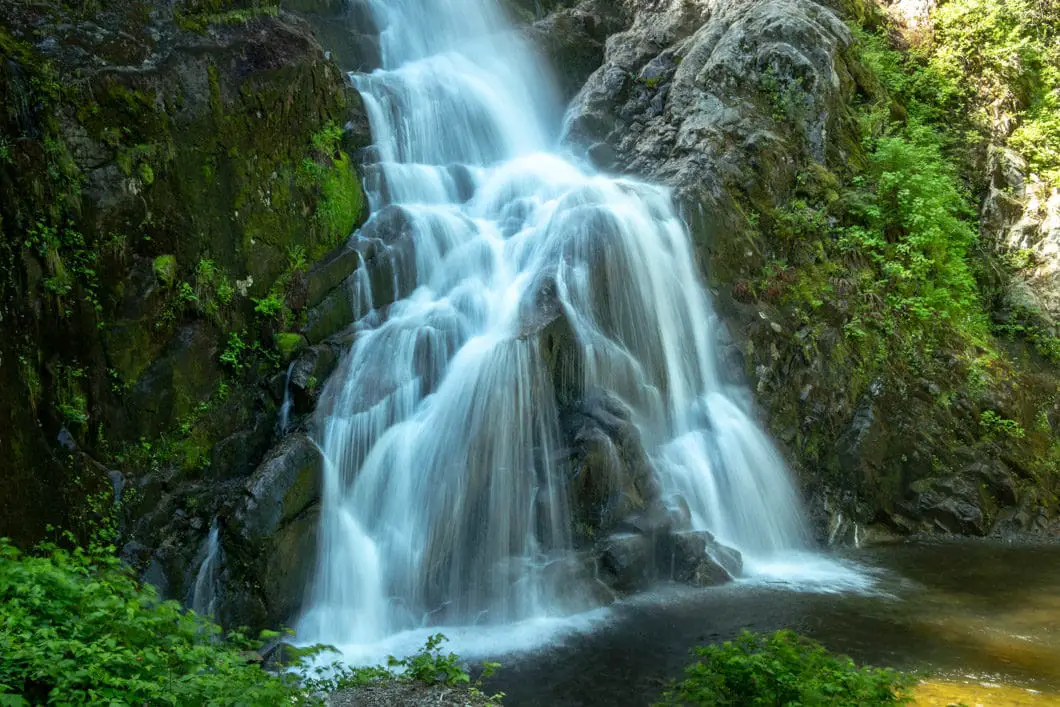
Cool fact: The falls drain from a small basin on top of the ridge as well as avalanche deposits which accumulate in the upper half of the gully, plunging about 1200 feet to the valley floor in 9 distinct drops, almost all of which are vertical or nearly vertical in nature. From the base of the falls, however, only the bottom 250 feet of the falls can be seen. [source]
Download the PDF version of this guide for offline use
Directions and Parking
From Vancouver, follow the Trans-Canada Hwy/BC-1 E to Flood Hope Rd in Hope. Take exit 165 from Trans-Canada Hwy/BC-1 E. After to take exit 165 you will reach an overpass. Turn right onto Flood-Hope Road, and immediately take a left. Quickly, you will see a pullout on the right-hand side of the road, along with a sign for the trailhead.
Google Map directions are here.
Other great hikes in this area
- Bridal Veil Falls (easy)
- Elk Mountain (easy)
- Othello Tunnels (easy)
- View all hiking guides here
Download the PDF version of this guide for offline use
