Gold Creek Falls – Table of Contents
- Hike Introduction
- Hike Statistics
- Gold Creek Falls Video
- Map and Elevation
- Hiking Route Description
- Directions and Parking
- Free PDF Download
Gold Creek Falls Hike Intro
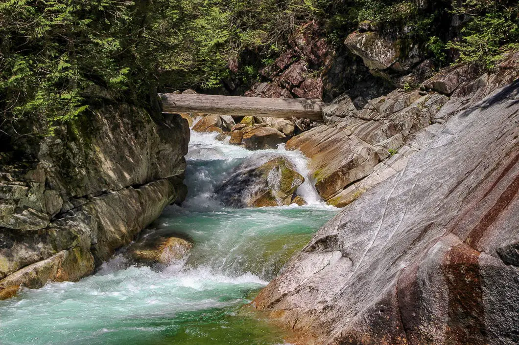
Gold Creek Falls, reached by the Lower Falls Trail, is a popular hike in Golden Ears Provincial Park, near Maple Ridge, B.C. Gold Creek Falls is a great hike for those camping in the park or visiting Alouette Lake. It is a popular pick for those seeking an enjoyable and relaxing hike.
The trail is wide and groomed the entire way to the waterfall. With minimal elevation gain, this is an easy hike, perfect for beginner hikers and children. The Lower Falls Trail winds through a beautiful stretch of forest before reaching the Gold Creek Falls waterfall. It takes about 1 hour each way, to the Gold Creek waterfall.
As the park doesn’t receive much snow in the winter, this is a perfect hike to save for the shoulder hiking season. But, it is great any time of year. Hiking in the summer makes it easier to brave the cold waters of Gold Creek or nearby Alouette Lake for those looking to take a dip.
Gold Creek Falls Hike Stats
Rating: Easy
Distance: 5.6 km
Net Elevation Change*: 80 m
Highest Point: 240 m
Time Needed: 2 Hours
Type: Out-and-back
Season: Year-round**
Dogs Allowed: Yes, on leash
Est. Driving Time from Vancouver: 70 Minutes
Trailhead Coordinates: 49.333049, -122.457976
**During the winter months the road may be closed in bad conditions.
*For a better understanding of the stats and difficulty rating, check out the Hiking Guides page for details. Always carry The Essentials and fill out a trip plan.
Gold Creek Falls Video
Here is a 2-minute video of our experience on this hike!
Gold Creek Falls Hike Map and Elevation
Gold Creek Falls
Profile
Gold Creek Falls Hiking Route
The trailhead for the Lower Falls Trail is clearly marked from the Gold Creek parking lot in Golden Ears Provincial Park. Find the wide, groomed trail as it enters into the forest from the parking lot. The Lower Falls Trail will be easy to follow all the way until it reaches Gold Creek Falls.
There are orange markers in the trees indicating every 500 meters. You might not notice all of them, but they are there if you look closely.
The trail winds up and down gradually over small hills, but will continue to be groomed gravel. During the summer you can find blueberries and salmon berries in the bushes along the way. The thick forest provides a nice blanket of shade on a hot, summer day.
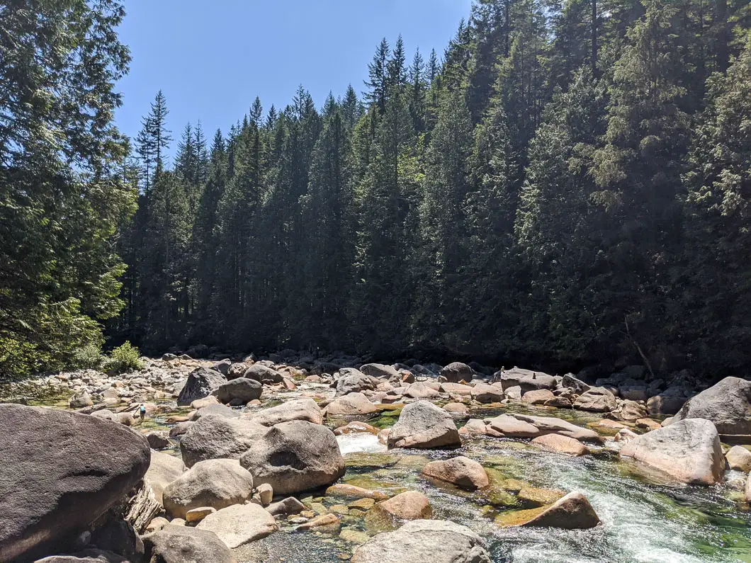
The trail carries north, paralleling Gold Creek. Within 10 minutes you’ll start to hear the sound of Gold Creek, which runs into Alouette Lake. At various times during the hike, you can hear or catch glimpses of Gold Creek to your left.
Once you are roughly 1.2 km into the hike, you will find a few small trails off to your left where you can reach the creek.
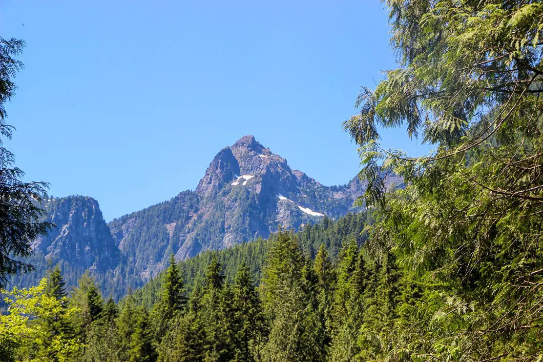
Continuing along the trail – at 1.5 km into the hike – there are a few more small trails on your left. These trails will take you to a nice spot along Gold Creek. There is a large, sandy clearing here on a calm section of the creek. This is a nice spot to step out for a few minutes, and you can cool off in the water on a hot day. Looking up you will have a partial view of the mountains looming over Evans Valley. These are the Alouette, Edge, and Blanshard Mountains.
From the beach on Gold Creek, carry back along the Lower Falls Trail. At 2.4 km you will cross over a creek on a wooden bridge. You can again see Mount Blanshard from this section.
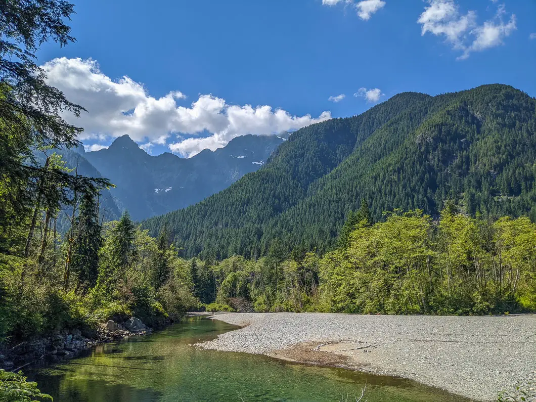
Cool fact: The park was named after the twin peaks of Mount Blanshard near the peak’s western boundary. Originally part of Garibaldi Provincial Park, the establishment of Golden Ears Park in 1927 recognized the almost impenetrable mountain barrier between the two areas. [source]
Follow the trail and you will come to a marker that says 2.5 km. Here, you will cross over another bridge. Shortly after, there is an outhouse and rest area. From the outhouse, it is a short climb up the hill to the lower falls lookout platform. Here, you get an up-close look at the powerful surge of water. The rushing water tumbles 10 meters over the falls down Gold Creek.
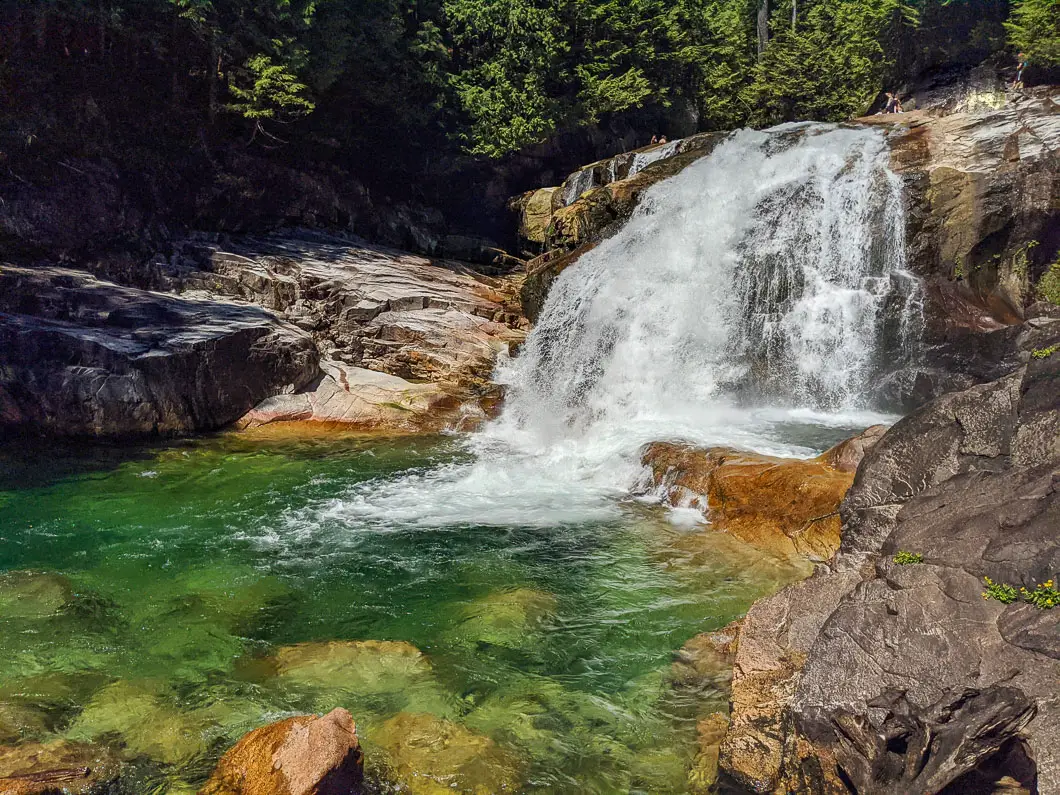
From the wooden platform, you can continue on the trail to the upper falls. There’s a quick switch-back and within a few minutes you will reach the upper falls. At the top of the trail, you will find a gate and a sign warning you not to go into the water. Sadly, people have died by trying to swim in the water and being swept over the falls. The beautifully green pool of water at the top of the falls may look inviting, but it is not for swimming in.
Enjoy the view of the torrent and surrounding forest, eat a snack and have a rest.
When you’re ready, retrace your steps back to the parking lot.
Download the PDF version of this guide for offline use
Directions and Parking
The trailhead for the Lower Fall Trail is accessed via the Gold Creek parking lot in Golden Ears Provincial Park, near Maple Ridge, B.C..
Once you enter Golden Ears Park, follow Golden Ears Parkway all the way to the end, ignoring the turnoffs for Alouette Lake or the Campground. Follow the signs for the Gold Creek Day Area. You will drive over a small, single lane bridge. The Gold Creek parking lot is immediately over the bridge.
During winter season from Thanksgiving Monday to March 30, Golden Ears Park main gate is locked from 5:30 p.m. to 8:00 a.m. daily.
Google Map directions are here.
Other nearby hikes
- Cliff Falls (Easy)
- Golden Ear Summit (Difficult)
- Evans Peak (Moderate)
- View all hiking guides here


