High Knoll Hike – Table of Contents
- Hike Introduction
- Hike Statistics
- High Knoll Video
- Map and Elevation
- Hiking Route Description
- Directions and Parking
- Free PDF Download
Minnekhada Regional Park Intro
The hike to High Knoll is located within Minnekhada Regional Park in Coquitlam, near the Pitt-Addington Marsh and the Pitt River.
With over 200 hectares in Minnekhada Regional Park, there are many trails to explore throughout. The main trails are the Quarry Trail, Mid-Marsh Trail, Lodge Trail and the Fern Trail.
The main points of interest in Minnekhada Park are the historic Minnekhada Lodge, and the amazing view provided from the hike to High Knoll. There is also a marsh, rich with wildlife, located in the middle of the park. The marsh is divided into upper and lower sections by a dyke.
There are three entrance points to the park. The main entrances are the parking lot off Quarry Road, and the parking lot at Minnekhada Lodge along Oliver Road. There is a third entrance in the northwest corner of the park, also along Quarry Road, with limited parking.
While there are many trails within the park, this guide will take us directly to High Knoll and Low Knoll and back to the parking lot. If you wish, you could easily extend this trail out from the described 6.5 km route below to a longer 10 km hike by making a loop out the Minnekhada Lodge. There is a PDF trail map here.
A word of caution. It is common to find bears within Minnekhada Regional Park, so be bear aware.
High Knoll Hike Stats
Rating: Easy
Distance: 6.5 km
Net Elevation Change*: 140 m
Highest Point: 180 m
Time Needed: 2.5 Hours
Type: Out-and-back
Type: Out-and-back
Season: Year-round
Dogs Allowed: Yes, on leash
Est. Driving Time from Vancouver: 45 Minutes
Trailhead Coordinates: 49.300016, -122.707234
*For a better understanding of the stats and difficulty rating, check out the Hiking Guides page for details. Always carry The Essentials and fill out a trip plan.
High Knoll Video
Here is a 2-minute video of our experience on this hike!
High Knoll Hike Map and Elevation
High Knoll
Profile
High Knoll Hiking Route
There are three potential starting points for a hike through Minnekhada Park. We’ll start our hike at the main Quarry Road parking lot as found in the directions at the bottom of this guide.
In the Quarry Road parking lot you’ll find an information board and a free park map to take. There is also an outhouse at the trailhead.
Begin the hike by walking down the trail, with tall brush on both sides of you. After about 100 meters you will come to a split in the trail. Going to the right takes you to Minnekhada Lodge along the Lodge Trail. We’ll go left, in the direction marked for High Knoll/ Low Knoll. It’s 2.3 km to reach High Knoll from here.
Almost immediately, you’ll come to another junction. You can go left along the Log Walk Trail or right along the Meadow Trail. Both trails will take you to the marsh. We’ll go right along the loose gravel Meadow Trail.
About 10 minutes into the hike you come to another sign. This junction provides another opportunity to go right to Minnekhada Lodge, or again left to High Knoll. Go left. Just beyond this sign you’ll get a glimpse of the marsh directly in front of you through the trees.
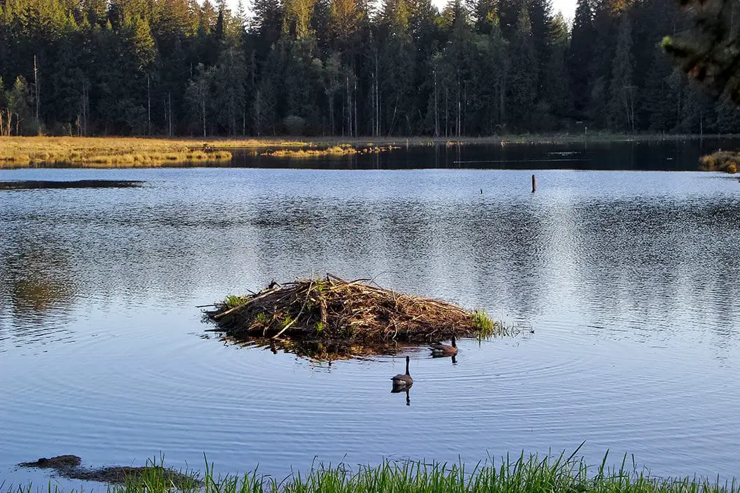
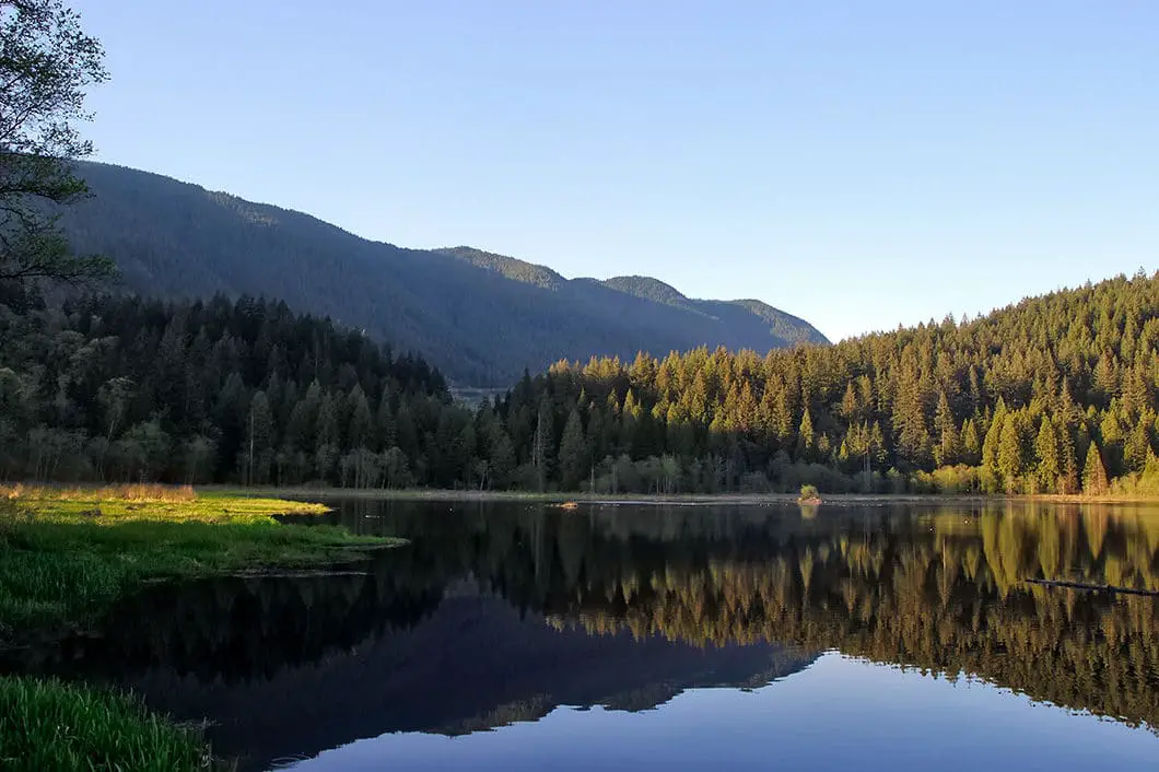
Follow the trail as it climbs down to the scenic marsh. The marsh is a great spot for viewing birds and other wildlife like beavers. There are many ducks and geese in the water. Depending on the time of year, you may also be able to spot some frogs along the edges of the marsh.
Walk across the dyke which divides the marshland, enjoying the open view and wildlife.

Hiking from the marsh to Low Knoll
After you cross the dyke, you’ll head back into the trees and there is a short but steep climb ahead. The trail will climb, then quickly fall back down the other side.
The trail after the marsh has some technical drops and rooty and rocky sections. Overall, the trail is nothing too difficult but there are a few trickier spots. Soon, you will find a small creek running on your left.
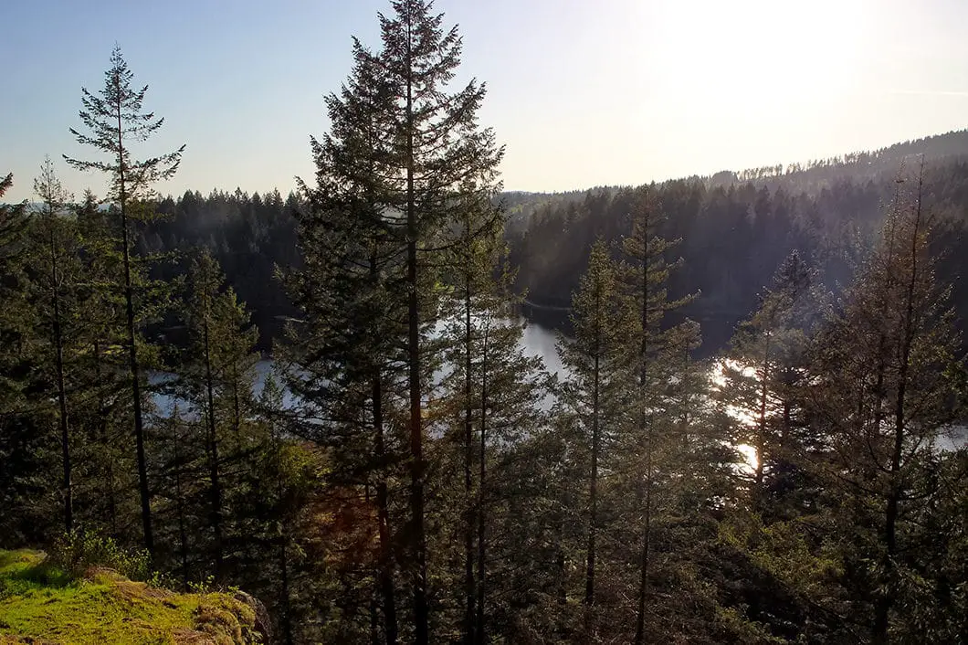
1.3 km into the hike you will come to the junction for High Knoll and Low Knoll. We’ll go to Low Knoll first as it is a quick detour. Go right, in the direction marked for Low Knoll. Walk up the hill a short ways and find the sign on your right pointing to Low Knoll. Take the trail to your right, and do the small climb to the Low Knoll lookout. From here, you get a partially obstructed view of the marsh below. Take a quick break and double-back towards the High Knoll / Low Knoll junction. At the junction, this time go in the direction of High Knoll.

The final stretch to High Knoll
The trail just after the junction is flat and groomed, but the steepest part of the hike is just ahead.
After 15 minutes you will come to a junction. Going left would take you to the northern park entrance off of Quarry Road. Go right, towards our destination of High Knoll. It’s not far from here, but it is steep until the summit.
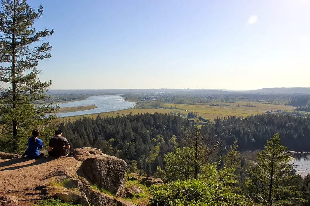
Keep climbing, and you will soon come out to the expansive view looking south. From the High Knoll summit you can see the park’s marsh, Minnekhada Lodge, the Pitt River, the Pitt-Addington Marsh, and the surrounding farmlands. There is plenty of space to find a spot to sit down.
Grab lunch and enjoy the view, before retracing your steps back to the parking lot.
Or, if you want to make a complete loop of the park, you can head back towards Low Knoll. This time, pass by the Low Knoll trail and keep walking along the Fern Trail, until it connects to the Minnekhada Lodge and the Lodge Trail.
Cool fact: Minnekhada Lodge was built as a country retreat for hunting in 1934 by Lieutenant Governor Eric Hamber (and apparently Queen Elizabeth stayed there at one time). The lodge is open for viewing from 1 pm to 4 pm the first Sunday of the each month (except January). [Source]
Download the PDF version of this guide for offline use

Directions and Parking
Head north on Coast Meridian Road in Port Coquitlam. Turn right onto Victoria Drive. Go left where Victoria Drive forks. You’ll see a sign that says welcome to Coquitlam. Follow Victoria Drive, which will turn into Quarry Road. You’ll see a sign on the right-hand side of the road that says ‘Minnekhada – Quarry Trailhead’. Turn right into the parking lot.
Google Map directions are here.
Other great similar hikes
- Jug Island (moderate)
- Quarry Rock (easy)
- Lynn Peak (moderate)
- View all hiking guides here


Michiko Higgins
I had been going up on Grouse Grind for the past 4 years, but I,d like to try other hiking destinations starting this spring.
I,d appreciate if you could introduce me to some hiking clubs. I am 75years old and in good shape.
Thank you.
Michiko
Karl W
Hi Michiko,
We have a list of hiking clubs here: https://www.outdoorvancouver.ca/resources/outdoor-clubs/
Good luck!
Karl