Dam Mountain – Table of Contents
- Hike Introduction
- Hike Statistics
- Dam Mountain Video
- Map and Elevation
- Hiking Route Description
- Directions and Parking
- Free PDF Download
Dam Mountain Hike Intro
Lynn Headwaters Backcountry Winter Closure
This hike and all backcountry routes at Lynn Headwaters Regional Park are now CLOSED due to hazardous winter conditions. This applies to routes beyond Norvan Falls (e.g. Hanes Valley, Coliseum Mountain and Lynn Lake) as well as routes in the Grouse subalpine (e.g. Dam Mountain, Thunderbird Ridge, Crown Mountain, Goat Mountain, Little Goat & Goat Ridge). See more from Metro Vancouver.
Unpredictable and rapidly changing hazardous mountain weather conditions may include:
– Snow, ice and slippery conditions in steep terrain
– Heavy rainfall
– Rock and ice fall
– Lack of visibility (whiteout caused by fog and/or snow)
– No trail markers
Dam Mountain is a moderate hike easily accessible from the Grouse Mountain lodge. This hike is fairly short if you are starting from the top of the Grouse Mountain Skyride, and as such is a nice extension to other hikes in the area such as Goat Mountain, Crown Mountain, Thunderbird Ridge and Little Goat Mountain. If you really want a workout, you can also start this hike from the base of Grouse Mountain and hike up the Grouse Grind or BCMC trails.
The trail to Dam Mountain is well-defined and marked. It can be accessed via the Ridge Trail or Alpine Trail, or via both trails creating a partial loop. At over 1,300 m snow can persist on this trail late into the year.
The winter version of this trail is known as the Snowshoe Grouse Grind.
Dam Mountain Hike Stats
Rating: Moderate
Distance: 5 km
Net Elevation Change*: 264 m
Highest Point: 1,349 m
Time Needed: 2 Hours
Type: Partial Loop
Season: July to September
Dogs Allowed: No
Est. Driving Time from Vancouver: 30 Minutes
Trailhead Coordinates: 49.379259, -123.082363
*For a better understanding of the stats and difficulty rating, check out the Hiking Guides page for details. Always carry The Essentials and fill out a trip plan.
Dam Mountain Video
Here is a 2-minute video of our experience on this hike (and beyond to Goat Mtn)!
Dam Mountain Hike Map and Elevation
Dam Mountain
Profile
Dam Mountain Hiking Route
From the Grouse Mountain lodge you will walk north towards the grizzly bear enclosure. At the service road just beyond the grizzly bears, head left, walking underneath the Peak Chair.
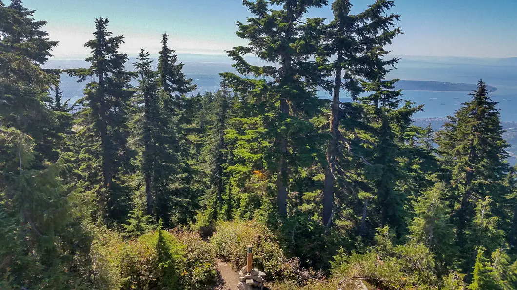
Here, there is a hiker registration board for Lynn Headwaters Regional Park and you can complete a form (so search and rescue knows where to look for you just in case). Follow the wide dirt road to the west for about 500 m, enjoying the partial views of West Vancouver and the Burrard Inlet to the south. At the end of the road you will be funnelled into a single-track trail that is marked with a signpost directing you on the Alpine Trail.
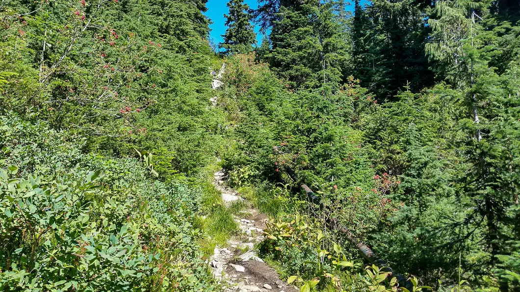
From here, the trail begins to climb and becomes more technical. The trail will switchback a few times and you will pass by a water pipeline (watch your head!). After 25 minutes or 1.4 km from the start of the hike, you will come to a junction for the Alpine and Ridge trails. Go left along the Ridge Trail – this is the most direct route to the summit of Dam Mountain and its only 500 m to go from here.
Cool fact: “It was October 12, 1894. A small party of hikers trudged through the snow of an unnamed mountain on the north shore of Burrard Inlet. Among the party were Sidney Williams, a surveyor, G.W. Edwards, a photographer, and Ernest Cleveland, later to become chief commissioner of the Greater Vancouver water district (and the man for whom Cleveland Dam is named). Near the peak the men flushed some blue grouse and shot one. “Gentlemen,” one of them said, “we’ll call this hill Grouse Mountain.” [Source]

There are several side trails you will encounter along the way. Just make sure to follow the flagging along the more established route to stay along Ridge Trail.
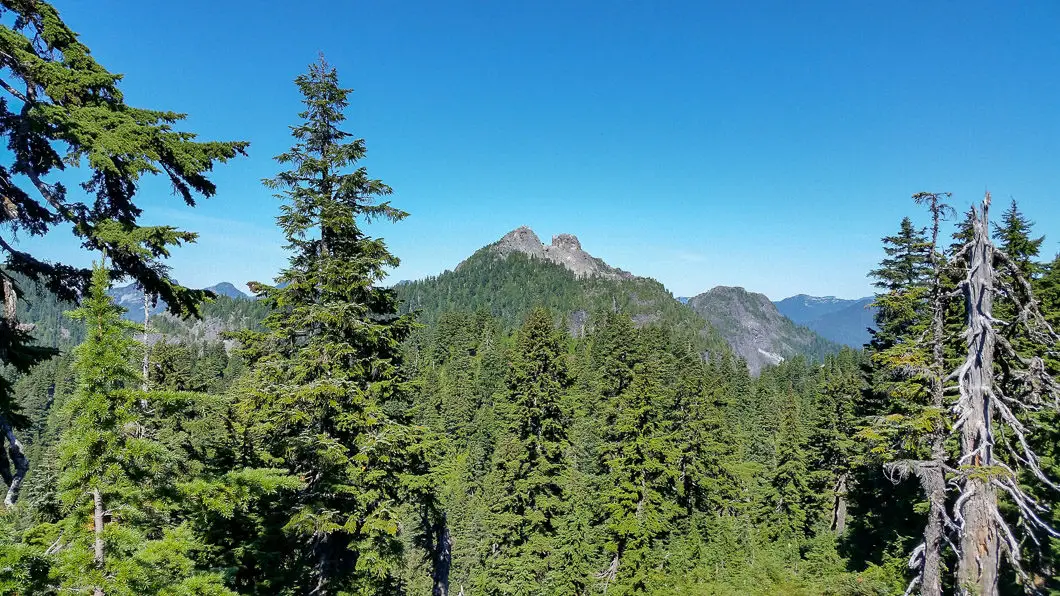
The final stretch of the trail from here is the most difficult. The trail may also be quite muddy in sections. Making your way up the steep sections of trail, you will pass by a wooden helicopter landing pad. The rocky peak of Dam Mountain is not far from here. It’s a quick scramble to the summit for an incredible – even if partially obstructed view – of Vancouver to the south.
Download the free PDF version of this guide for offline use

Instead of retracing your steps, its best to carry on a bit further to complete a loop using the Ridge Trail. Find the trail again as it picks up on the other side of the summit. You will immediately get a great view of Goat Mountain, Crown Mountain and The Lions. The trail will quickly drop down and there will be an unmarked junction.
Follow the orange flagging and keep dropping down the trail until you come to the northern junction for Alpine and Ridge Trails. Staying on Ridge Trail will take you to Little Goat Mountain, and taking Alpine Trail to the left will take you to Goat Mountain/ Crown Mountain. You need to be careful here to turn right along the Alpine Trail, in the direction for the Grouse Mountain Skyride (this junction is well marked).
Follow Alpine Trail back east along the ridge enjoying the nice view of the Kennedy Lake watershed below you. There is one potentially confusing part when you find yourself beside one of the Grouse Mountain Zipline platforms. There is a junction here and it appears the trail goes down, beside the platform, but you’ll actually want to take a right at the platform.
You’ll soon hit the original, southern, Ridge/ Alpine Trail junction you from the beginning of the hike and you have completed the mini loop. You can now retrace your steps back to the Grouse Mountain lodge.
Directions and Parking
From Highway #1, take the Capilano Road exit North (exit #14). Take Capilano Road up the hill all the way to the top. Beyond the Capilano Suspension Bridge, the road will is called Nancy Green Way. Just follow the road until it takes you to the Grouse Mountain parking lot. It is pay parking in the paved lots, or free if you park along Nancy Green Way.
Google Map directions are here.
Other great hikes in this Area
- Goat Mountain and Goat Ridge Hike
- Crown Mountain Hike
- Hanes Valley Loop Hike
- View all hiking guides here


