Juan de Fuca Trail – Table of Contents
- Hike Introduction
- JDF Trail Film
- Hike Statistics
- Map and Elevation
- Comparison to West Coast Trail
- Permits and Fees
- Getting There
- Accommodations
- Campsites
- Tidal Cutoffs
- Trail Etiquette
- Advice for the Trail
- FAQs
- Hiking Route Description
- Gear
- Resources
- Free PDF Download
Juan de Fuca Trail – Hike Introduction
Trail Closure Notice
Access to 9km section of trail between Mystic Beach and Bear Beach has been closed after a landslide destroyed a section of stairs. Repairs may not be complete until fall of 2021. A news article can be read here. Latest details from B.C. Parks here.
For a list of all current local trail closures, see our Trail Closures and Updates page.
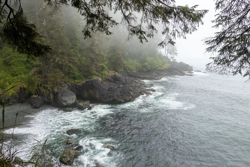
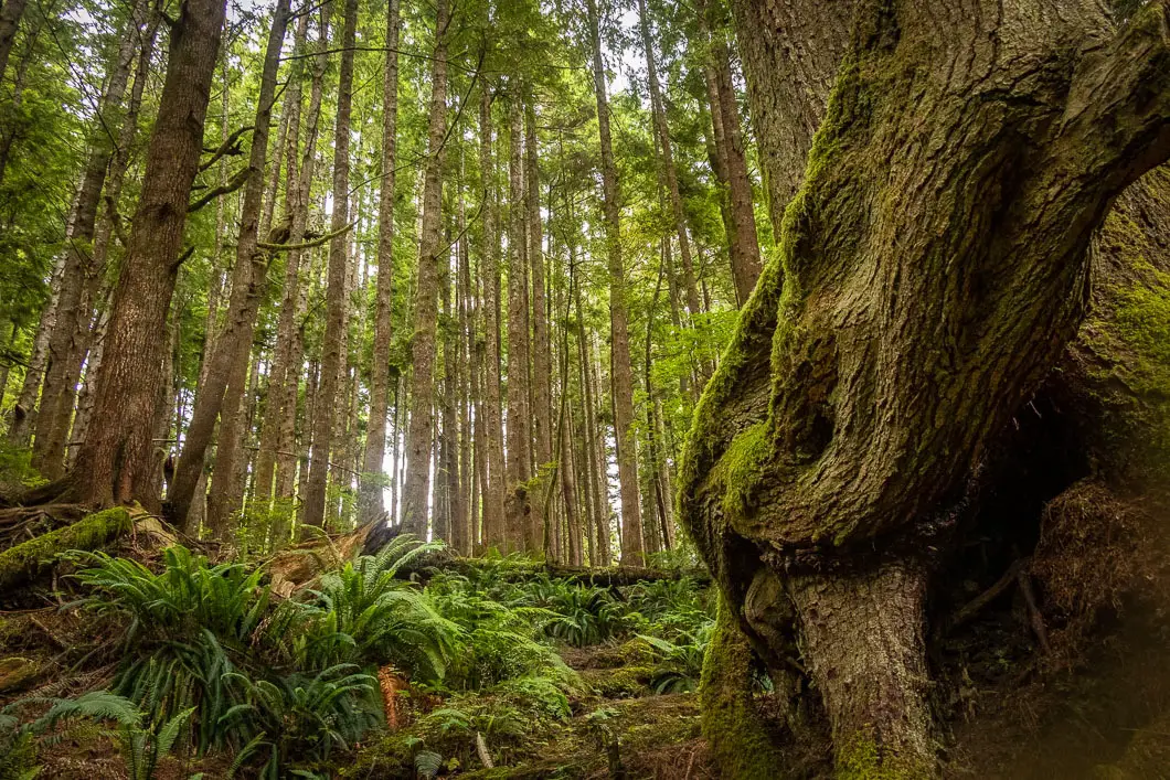
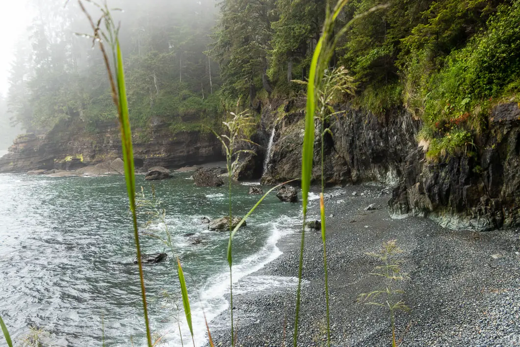
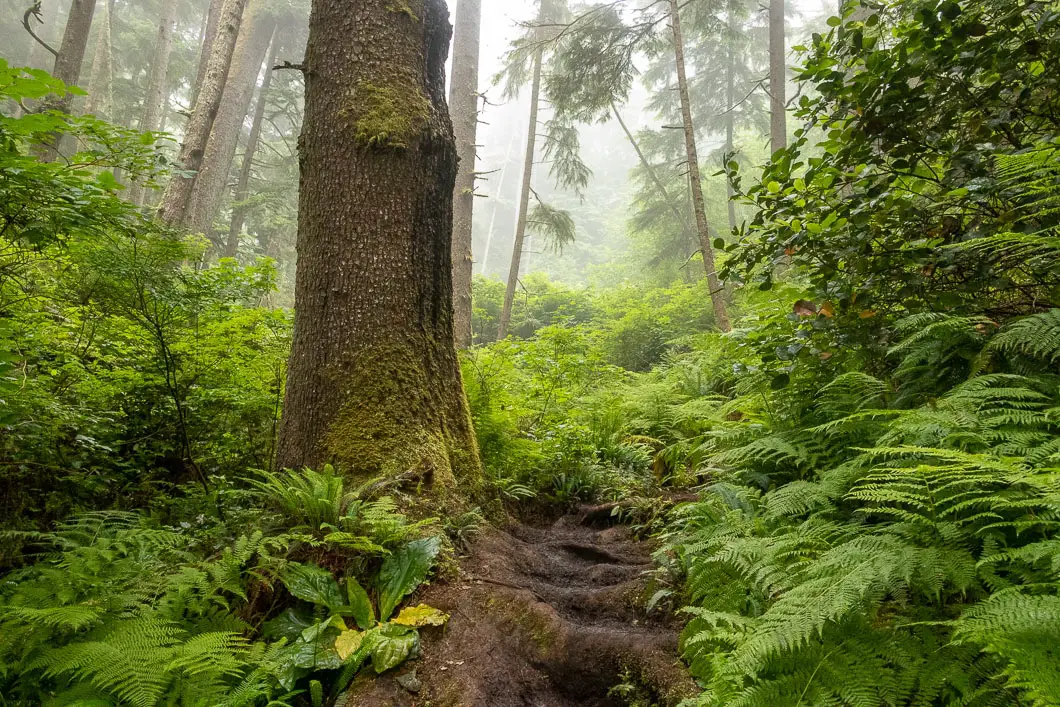
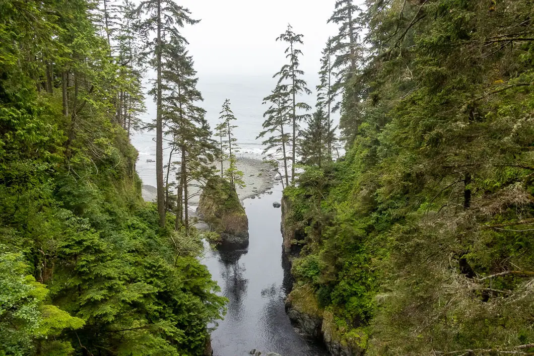
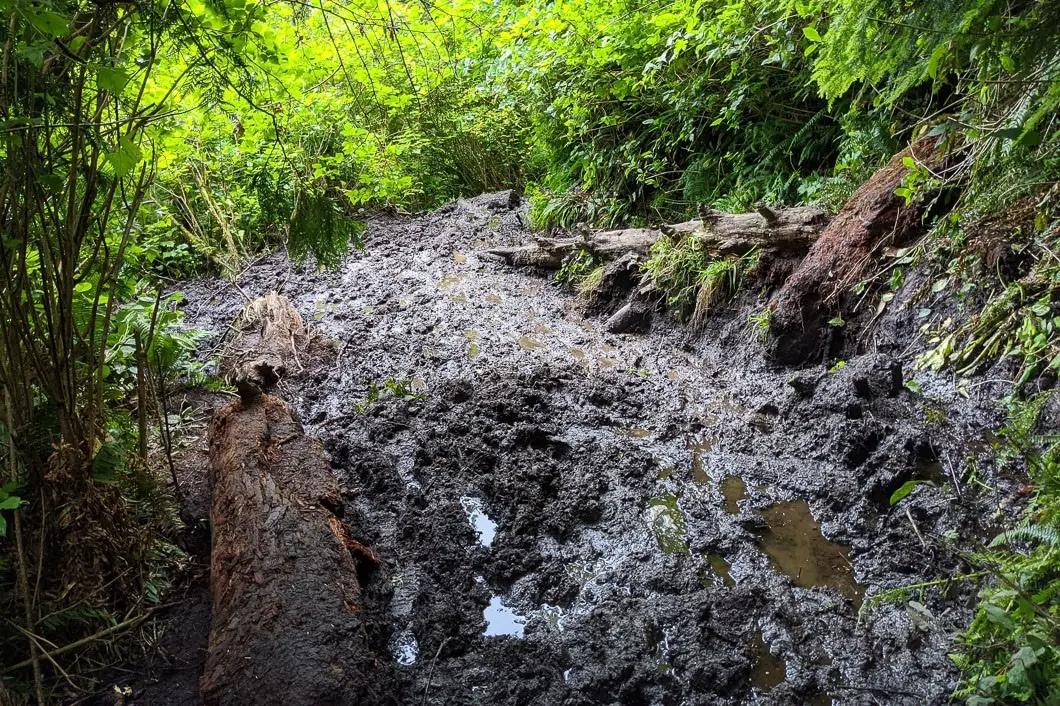
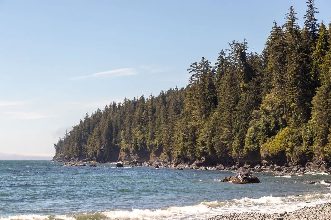
The Juan de Fuca Marine Trail covers 47 kilometres of dense, coastal forest. The trail carries alongside and over beautiful pebble beaches, waterfalls, suspension bridges, and the occasional pit of mud. Okay, there can be lots of mud.
The Juan de Fuca sits on the southwestern coast of Vancouver Island, between Botanical Beach in Port Renfrew and China Beach, which is just up the coast from Sooke.
The trail lies just south of the popular West Coast Trail and is often hiked as a more-accessible alternative. The JDF offers incredible scenery and wildlife viewing opportunities but doesn’t require any permits to be secured in advance like the WCT does.
There are also multiple trailhead options for the JDF, so the trail can be hiked in sections for those that don’t want to tackle the entire 47 kilometres in one go. The trail is usually completed in 3-5 days and can be hiked north-to-south or south-to-north.
The Juan de Fuca Marine Trail offers an incredible challenge full of technical and rugged terrain, with plenty of ups and downs, twists and turns. To get an idea of the difficult nature of the trail, consider this: The trail reaches its highest point at about 180 m. Yet the total cumulative elevation gain (estimated) is about 1,700 m! That’s a lot of up and down, up and down…. However, it rewards those willing to tackle the trail with incredible scenery and a sure-to-be unforgettable adventure at the western edge of the world.
JDF Video
Juan de Fuca Trail video overview – This is a 20-minute film of our hike of the trail in 2020. We hope it gives you a good idea of what the trail is all about!
Juan de Fuca Trail Hike Stats
Distance: 47 km
Cumulative Elevation Change**: 1,700 m
Highest Point: 180 m
Time Needed: Multi-day
Type: Point-to-point
Season: Year-round
Dogs Allowed: Yes, on-leash
Est. Driving Time from Vancouver: Half-day
Trailhead Coordinates: Botanical Beach: 48.533435, -124.443411, China Beach: 48.437935, -124.092814
**Aproximate – I’m not sure how accurate that is but that is the number from my Suunto 9 watch hiking the entire trail.
*For a better understanding of the stats and difficulty rating, check out the Hiking Guides page for details. Always carry The Essentials and fill out a trip plan.
Juan de Fuca Trail Hike Map and Elevation
Juan de Fuca
Profile
Comparison to West Coast Trail
As the Juan de Fuca Trail lies just south of the popular West Coast Trail, it often draws comparison.
The trail is shorter than the 75km West Coast Trail, but in many ways it is just as challenging. The Juan De Fuca trail is rugged, and has much more elevation gain and loss. Logistically, it is a lot easier to get onto the trail, and it certainly has fewer ladders to contend with.
The key differences are that compared to the West Coast Trail, the Juan de Fuca Trail:
- Doesn’t have ladders.
- Has much more elevation gain .
- Doesn’t require securing a permit in advance.
- Is much easier to get onto the trail, and is logistically easier to plan. Though this makes it feel a little less ‘wild’ or ‘off the grid’ than the WCT.
- Allows dogs, on-leash (though it is not recommended to bring them due to the difficulty of the trail).
- Has more day hiking opportunities.
- Can be hiked year-round if you wish.
But one thing is for certain – both trails share the same patented west coast beauty!
Permits, Fees, and Costs
Permits and Fees
You will need to pay for B.C. Parks Backcountry Camping permit for each night you are on the trail.
As of 2020, it is $10/person/night ($5 for children ages 6-15). It is easiest to pay in advance online, but there are self-registration forms at the Botanical Beach and China Beach Trailheads.
Other costs
Additional costs to consider:
- Vancouver Island is… an island. Unless you live there, you will need to either fly in or take a B.C. Ferry.
- There is the cost of gas.
- There is the cost of camping or a hotel if you will be staying anywhere on the island before or after your hike.
- There is all the food you will need to bring with you on the trail.
- There is the Trail Bus (see: Getting There) you might take to get from one trailhead to the other
- There is the hiking gear you will need to buy if you don’t already have it.
Getting There / Trailheads
Getting to the Juan de Fuca Provincial Park is fairly straightforward. First, you will need to get to Vancouver Island by B.C. Ferry or by airplane (Victoria has an international airport).
Vehicles can be left in the parking areas at the China Beach and Botanical Beach trailheads. Do not leave any valuables in your car. Thieves regularly prey on these parking lots!
For driving, you can take Hwy #14 from Victoria to China Beach (directions), or to Botanical Beach (directions).
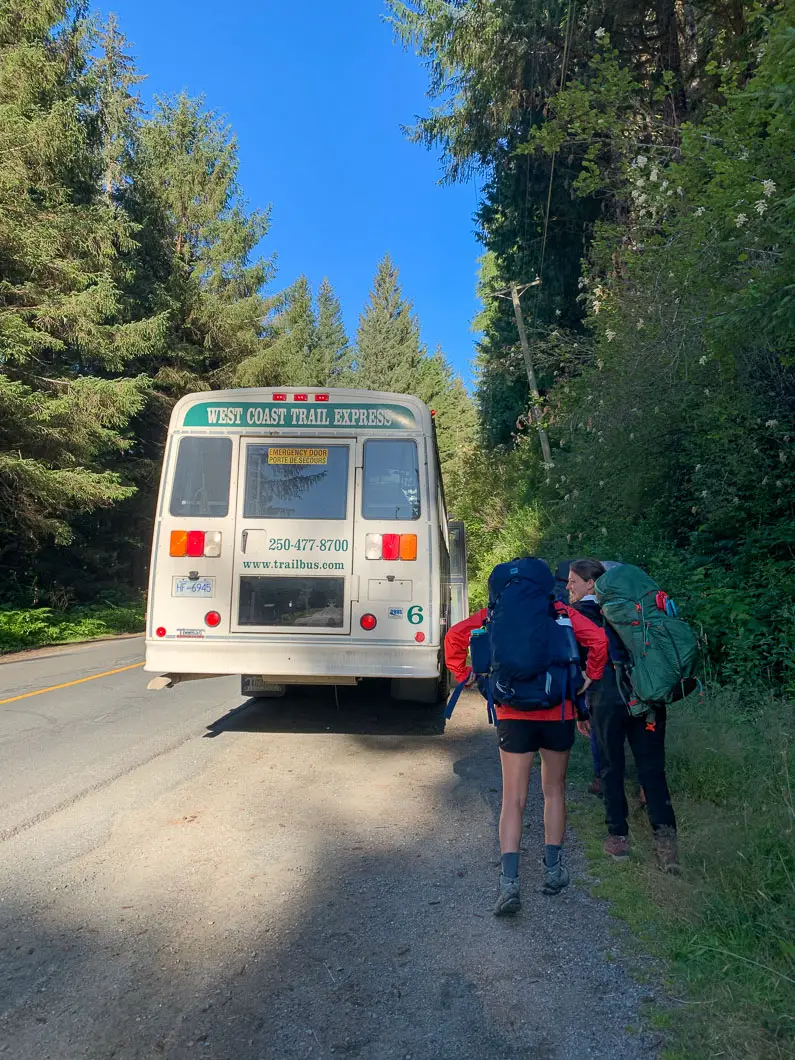
There is a private bus (West Coast Trail Express) that runs between Victoria and Port Renfrew and stops at the two endpoint trailheads. You can leave your car at one trailhead and take the bus to the other. It is recommended you book your spot on the bus in advance.
There are also trailheads at Sombrio Beach and Parkinson Creek. You can use these trailheads if you want to access the trail for day hiking, or don’t wish to through-hike the entire length of the JDF.
Accommodations
The town of Sooke is closest to the China Beach access point, and the town of Port Renfrew is close to the Botanical Beach access point. Both of these towns have a few options for accommodations if you need them before/after your trek (either hotels or Airbnb).
There is a drive-in campsite at the China Beach area. This campsite must be reserved.
Campsites
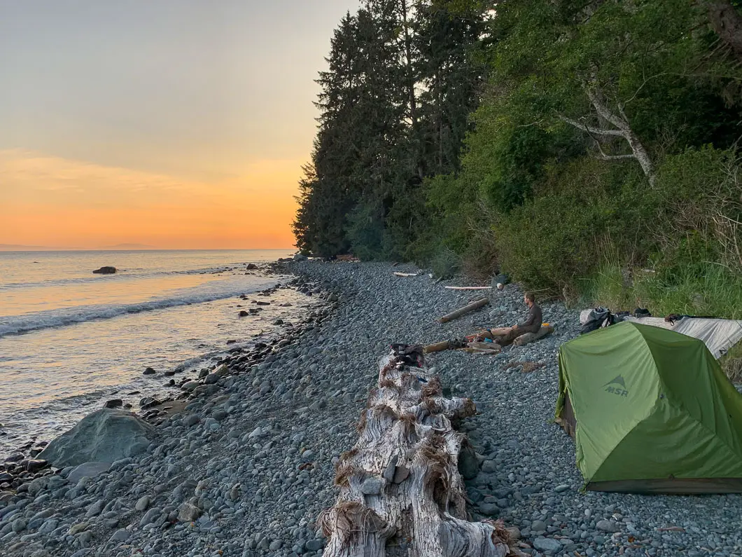
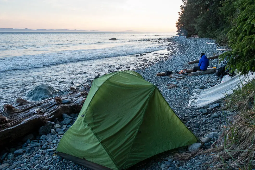
Campsites along the Juan de Fuca Trail are all first come first served. You are encouraged to camp at designated campsites and on the beach when possible to prevent degradation of the inland forest environment.
There are six campsites in total. All have nearby water sources, pit toilets, and food caches.
Mystic Beach, Bear Beach, Chin Beach, and Sombrio Beach are all located along the beach.
There are tent pads at West Sombrio you are encouraged to use. The other campsites don’t have designated spots.
Little Kuitsche Creek and Payzant Creek are forest campsites. Fires are not permitted at these sites. Because of this, and the lack of ocean views, they are typically less desirable spots to camp. They are also the two northern-most campsites.
Mystic Beach (2 km)
The Mystic Beach campsite is scenic and lies along a nice, sandy stretch of shore. However, as it is close to the China Beach trailhead, it often is skipped by through-hikers. There also isn’t much space for camping, and this site is often used by campers coming down from the parking lot who aren’t hiking the length of the trail.
Bear Beach (9 km)
There are three different creeks and camping areas along Bear Beach. All of them are great, and this is a popular campsite as the distance to campsites in either direction from here is relatively far.
Chin Beach (21 km)
There is limited space at this campsite, so you may want to try to arrive here early to get your pick of sites. It is a nice beach, and we saw a humpback whale and a dolphin here.
Sombrio Beach (27 km & 29 km)
Sombrio Beach is a popular campsite as there is a trailhead/ parking lot nearby. People often hike in to camp or surf.
There are three designated camping areas at Sombrio – East Sombrio, Sombrio, and West Sombrio. All three are fantastic. West Sombrio is most popular with surfers and day-hikers so options may be limited.
There is a fantastic waterfall at East Sombrio. Find the small stream coming out between the outhouse and just before the trail leaves the beach to climb inland. Follow the creek inland and upstream and within a few minutes you will see the waterfall!
Little Kuitshe Creek (33 km)
Little Kuitshe Creek leaves something to be desired compared to the other campsites. However, because the distance from Sombrio to Botanical Beach is 18 km, you may need to camp here or at Payzant Creek.
You can access the beach from the campsite, but the camping area itself is less-than-scenic.
Payzant Creek (40 km)
Payzant Creek is greener and nicer than Little Kuitshe but there is no beach access from this campsite.
Tidal Cut Offs
There are 6 high tide cut off points. You may not be able to pass along the beach during high tide at these points.
You should print the tide charts for the days you will be on the trail and bring this with you. Make sure you understand how to read the chart.
For the Juan de Fuca, use the Port Renfrew Tides.
A few of these sections have inland routes you can take if you get cut off by the high tide. Otherwise, you’ll need to wait for the tide to recede sufficiently if you have bad timing.
| # | Location | Km Marker (Approx) | Passable below tide height of (m) |
|---|---|---|---|
| 1 | Bear Beach | 8.7 | 3.00 |
| 2 | Chin Beach (East) | 20.6 | 2.75 |
| 3 | Chin Beach (West) | 21.3 | 2.75 |
| 4 | Sombrio Beach (East) | 28.0 | 3.00 |
| 5 | Sombrio Beach (West) | 29.6 | 2.60 |
| 6 | Sombrio Beach (West-west) | 30.2 | 3.00 |
Trail Etiquette
Each hiker is responsible for hiking with a minimal impact on the environment. Below are some etiquette guidelines, but these are by no means comprehensive. As always, it is best to hike by Leave No Trace principles (link in the resources section for more info).
Here is some of the basic etiquette to consider:
- Pack out everything. There are no garbage cans on the Juan de Fuca Marine Trail.
- Fires. Fires are permitted on the beaches as long as no current fire ban is in effect. Use only driftwood and do not cut any tree branches or any other living vegetation to use in your fire. Driftwood smaller than your wrist should be used. Fires should not be relied on for cooking food and you should have a camping stove. Fires must be below the high-tide line on the beach and cannot be started in the forest. When finished with the fire, fully extinguish it with water. No trace of the fire should be left behind.
- Water. Help keep the drinking water sterile. Use outhouses at the campsites and do not relieve yourself anywhere near a stream or source of fresh water. If no outhouse is near, dig a hole 7 inches deep, 100 feet away from any water source, and off the trail. Cover the hole. Pack out your toilet paper, or dispose of it in one of the campsite outhouses. Bath and wash dishes in the ocean or at the mouths of rivers. People downstream don’t want your germs in their drinking water. Use only biodegradable soap if necessary.
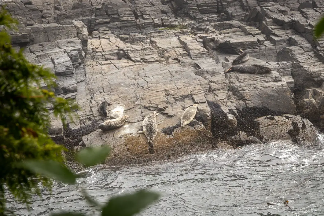
- Wildlife. Do not disturb wildlife. “Most rocks are covered with living plants and animals – step carefully to avoid crushing them. Do not remove rocks, shells, wood, plants, or any other natural items from the park. These natural objects provide important shelter and protection for smaller marine animals. Please keep dogs on a leash”. [source]
- Food storage. Use the metal food lockers provided at the campsites to store your food and deter wildlife. If the lockers are full, hang your food in a tree, away from your tent. Remember to take everything with you when you leave the campsite.
General Advice for the Trail and Helpful Tips
My general advice for the Juan de Fuca Trail is the same as any through-hike or backpacking trek: Prepare and plan, and then plan some more.
Think carefully about much food you’ll need. Reduce weight at every possible chance. Remove wrappers in advance so you don’t have to worry about garbage. And don’t bring non-essential items. You won’t miss them once you’re out on the trail, and you’ll be thankful your bag is that much lighter.
Plan a route and agree upon everything with your hiking partners. Then, be ready to be flexible with those plans once you start hiking as things almost never go to plan. Go with the flow. Take it all in stride and enjoy the trials and tribulations of the trail!
A few more tips:
- Beware that some beach routes cannot be taken at high tide. Understand how to read a tide table (and bring the current tide table chart with you).
- Leave nothing scented in your backpack or clothes pockets. For the bears, but also for smaller rodents that may find them as tasty treats while you sleep.
- Treat all your water. Even the water you use to brush your teeth. And collect the water from as far upstream as possible.
- Because campsites are first come first served, it is wise to arrive as early as possible at your desired campsite to get a good spot. This is especially true in the busier summer months, and at the Chin, Bear, and Sombrio beaches.
- Leave nothing valuable in your car. Thieves often target these parking lots at night.
- Gaiters will probably be very helpful with the mud, especially in the spring and early summer. Trekking poles are also highly recommended.
Frequently Asked Questions
Click to expand:
Which direction should I hike? North to south, or south to North?
As you start and end at sea level in both directions, it won’t really matter too much which direction you hike. The biggest factor may be for logistical reasons of how you plan to get onto and off the trail, and the times of the bus.
How do I get back to my car when I’m finished?
See Getting There.
What gear do I need?
A list of gear is here.
Are dogs allowed on the trail?
Yes, however the trail may be too difficult for some dogs. It is up to you to assess whether or not the trail is suitable for your dog. Dogs should be kept on-leash.
Is there cell service along the trail?
Don’t count on it. It may depend on your exact location and who your provider is. You might have the best luck if you can roam onto a US carrier from the nearby United States.
Where do I relieve myself?
Luckily, each of the campsites has outhouses. Otherwise, its preferred if you dig a hole in the forest or on the beach below the tide line, and cover it up. This is so your waste doesn’t make its way into a freshwater source.
When is the trail open?
The trail is open year-round.
Do I need to worry about wildlife?
Yes and no. Yes, there is potentially dangerous wildlife. But, no you shouldn’t worry too much. You do need to be prepared for an encounter. Know how to minimize your chance of an encounter, and how to behave if you see bears, wolves, or cougars. We have some basic wildlife safety information here.
Juan de Fuca Trail Hiking Route
This guide is not written like the other hiking guides on this site, which provide a clear route description to get from point A to B.
With the Juan de Fuca, you will have your choice of campsites, how many days you wish to hike, and some choices between inland and beach routes. You can also hike north-to-south or south-to-north.
As such, the guide below is a personal trip report from my own hike of the Juan de Fuca Trail in 2020. Your route may vary. You may use this as a guideline for your own hike, or you may want to take an entirely different approach.
We hiked from Botanical Beach to China Beach over 3 nights and 4 days.
Hiking the JDF – Day 0
We left Vancouver early in the morning and caught the ferry from Tsawwassen to Victoria. We stopped in Victoria to grab a few things from MEC and have lunch. We checked into an Airbnb near Sooke.
In the evening we grabbed a delicious pizza from Stoked and ate it overlooking French Beach. When then drove to the China Beach trailhead to be certain of where we would be leaving our car and catching the West Coast Express the following morning.
After that, we went back to our room and made our final preparations for the hike.
Hiking the JDF – Day 1
Botanical Beach to West Sombrio Beach
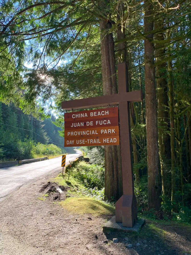
We woke up early in the morning, hit up Tim Hortons for a coffee, then drove to the China Beach trailhead. We parked our car, then waited on the highway for the West Coast Express. In short order we were dropped off at the Botanical Beach parking lot, ready to begin our adventure.
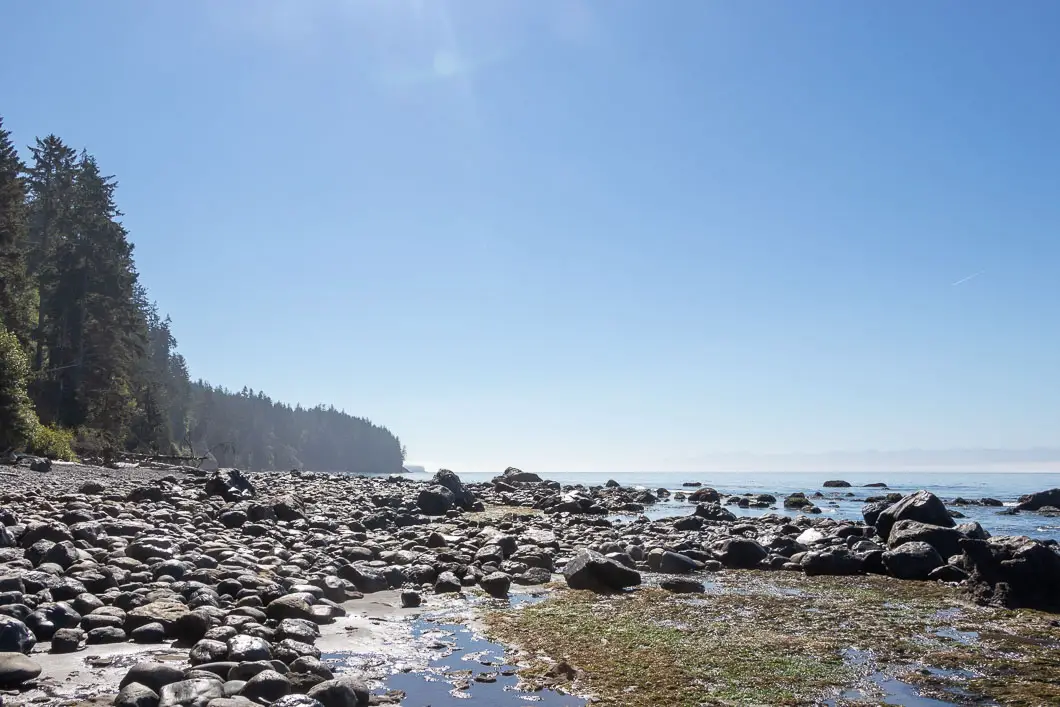
The trail started out easy enough. We checked out the beautiful Botanical Beach and explored its tidal pools. As we made our way towards Parkinson Creek, however, the trail went inland and became progressively more difficult.
Before we began hiking, we had read online reviews of the trail talking about the mud. I had largely thought it was exaggeration and boasting by hikers who had just come off the trail. As we progressed along the trail, however, it quickly became clear there was indeed a lot of mud on the trail, which significantly slowed down our expected pace.
Our pace slowed down so much we began to wonder if we’d make it to Sombrio Beach, which was our desired campsite for the first night.
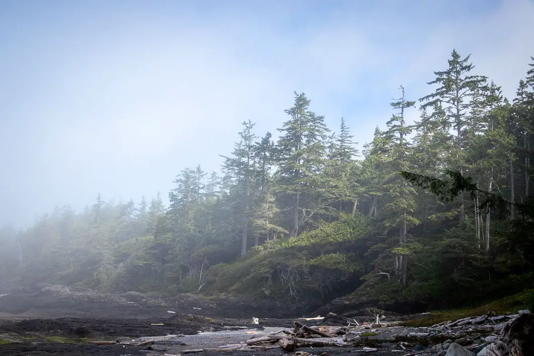
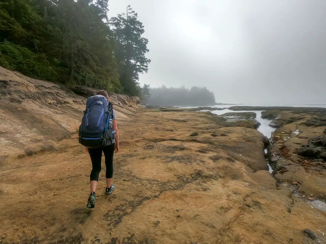
We made it to Little Kuitshe Creek at around 5pm, with daylight slowly starting to fade.
I was exhausted, dehydrated, and had developed a bad headache. I voted to set up camp at the less-than-scenic Little Kuitshe campsite and rest for the night. My wife voted to push on to Sombrio Beach where the ocean views were. The tie-breaker went to my wife, and we trudged on.
Sombrio was only about 4 km awa, but we were covering a mere 2 km an hour due to the technical nature of the trail, and tired legs under our heavy packs.
We reached a beach access point, where we had the option of taking the scenic and faster beach route to Sombrio, or taking the muddy, slow, and hilly inland route. The beach was our obvious preference, but this particular beach had a high-tide cutoff point. The tide was coming in and we knew from looking at the tide chart, we were pushing it close to being cut off by the rapidly rising waters. If that happened, we’d have to double-back to get onto the inland trail, and would surely be hiking into the darkness.
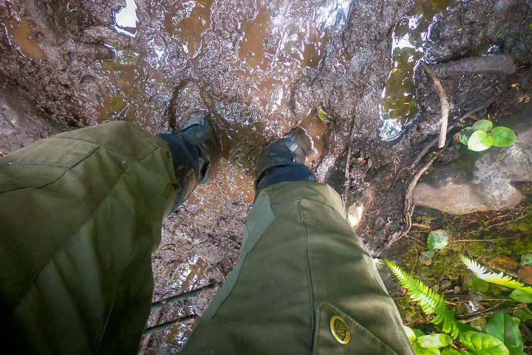
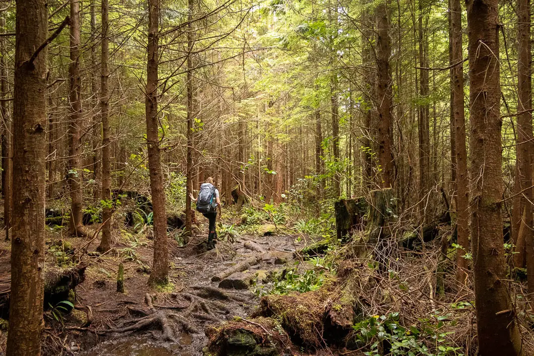
Tired, and wanting to get to the campsite as soon as possible, we gambled and took the beach route, racing against the tide as fast as our tired legs could take us over the rocky shore.
Luckily, our gamble paid off despite having to walk through ankle-deep ocean water at one point.
Tired, wet, and hungry, we arrived at Sombrio Beach. After setting up our tent, we lit a fire, had some warm food, and had a few sips of whiskey to raise our spirits.
Distance by the map for day 1: 18 km.
Total hiking time: 10 hours
Hiking the JDF – Day 2
Sombrio Beach to Chin Beach
Apparently somewhat shell-shocked from day 1, we didn’t break camp on day two of our trek until after 10am. We had breakfast, coffee, filled our water bottles, and then explored around Sombrio beach. The good news was we had covered over one-third of the trail on day one, allowing us to take an easier pace from here.
We made sure to check out the incredible waterfall tucked inside a slot canyon just off the beach. The waterfall was one of the top highlights of the trail.
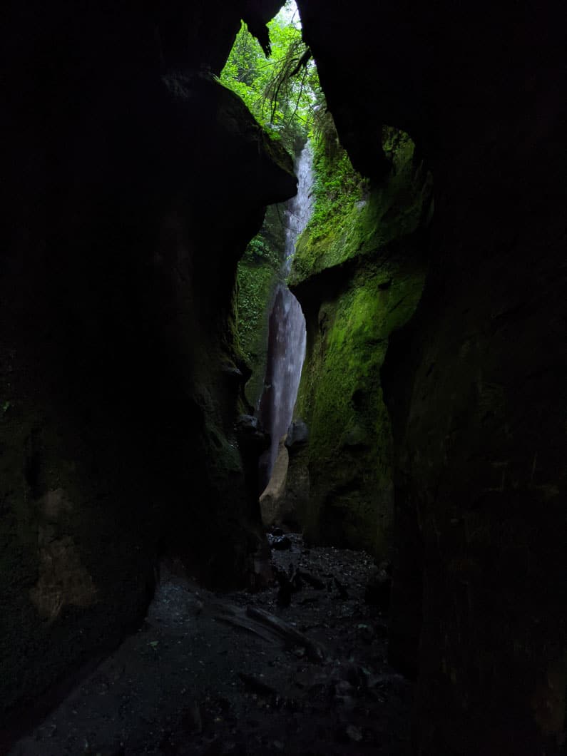
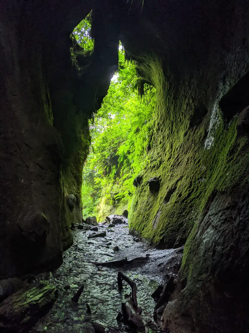
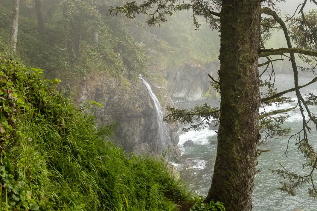
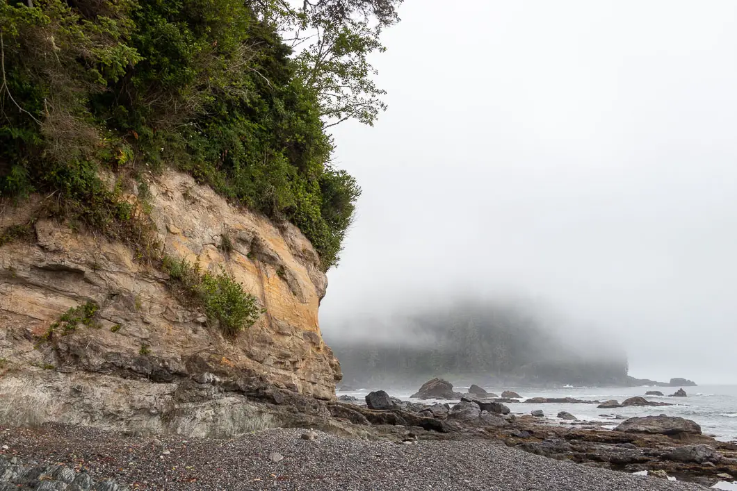
We took an easy pace after leaving Sombrio. The trail from Sombrio Beach to Chin Beach – our targeted campsite for the night – was all inland, and had one huge climb. The trail would continue to be exceedingly difficult and slow going in sections. The mud continued to be an annoyance, as did the periodic rain.
But several sections of jaw-dropping scenery, and more waterfalls, made it all worth it.
Again somewhat defeated, we arrived at Chin Beach around 4 o’clock. We were thankful for a shorter day and celebrated being over halfway along the Juan de Fuca.
But the 26 km we’d already covered had taken a toll, leaving us blistered, wet, sore, and fatigued.
It had rained off and on since we began hiking, and we were hoping for a change in fortunes for our final two days on the trail.
Distance by the map for day 2: 8 km.
Total hiking time: 6.5 hours
Hiking the JDF – Day 3
Chin Beach to Bear Beach
On day three we slept in, again, uneager to start tackling the unforgiving trail on another foggy morning. We knew the section of trail we had to tackle on this day was supposed the most difficult, with the most amount of climbing.
As we were having our breakfast and packing up, we saw a humpback whale and just after a dolphin in the waters just in front of our campsite. Those sightings would turn out to be a good omen for the day ahead.
When we finally hit the trail, right away there was a huge mud pit as we left Chin Beach. We thought ‘here we go again’. But to our amazement, after that, the trail got drier and drier as we made our way towards Bear Beach – which was our desired campsite for our final night on the trail.
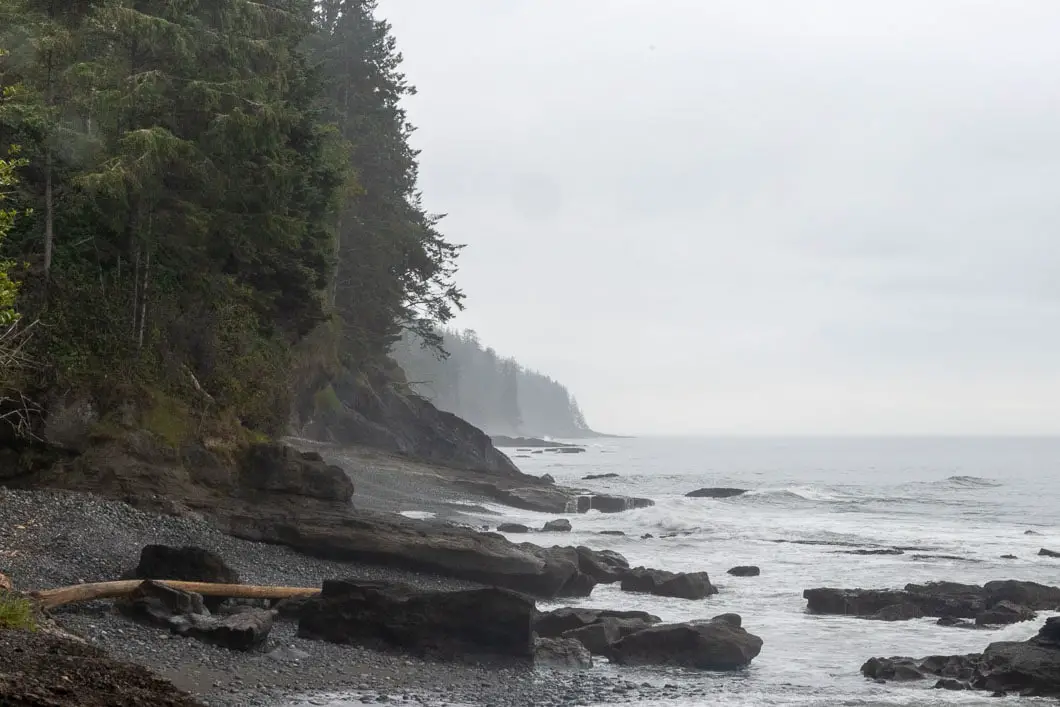
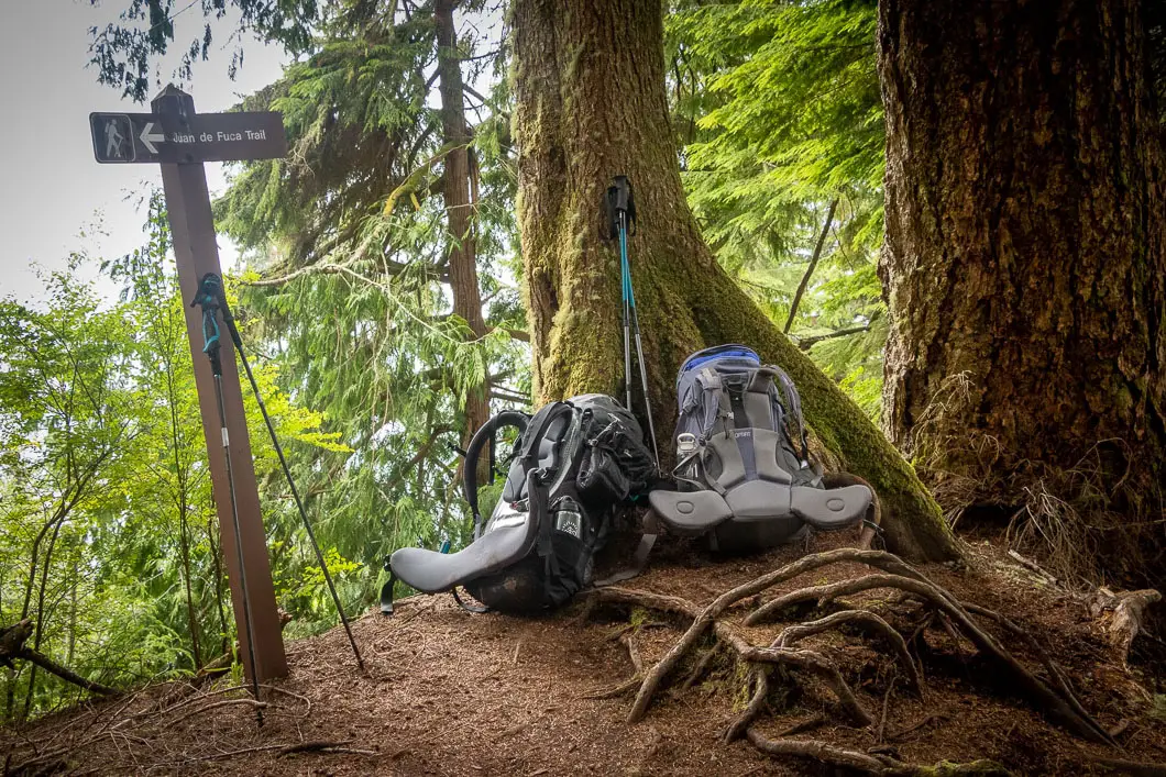
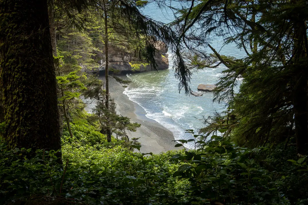
The clouds lifted a few hours into our day and the sun finally came out.
We passed by a re-routed section of trail that had been washed out by a recent mudslide. There was one big climb about 2 km before Bear Beach which had about 100 m of elevation, which really tired us out.
Even though this day was the most difficult from the standpoint of elevation gain, the improving trail conditions made this the most enjoyable day of the trek so far.
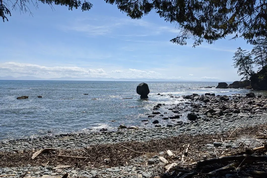
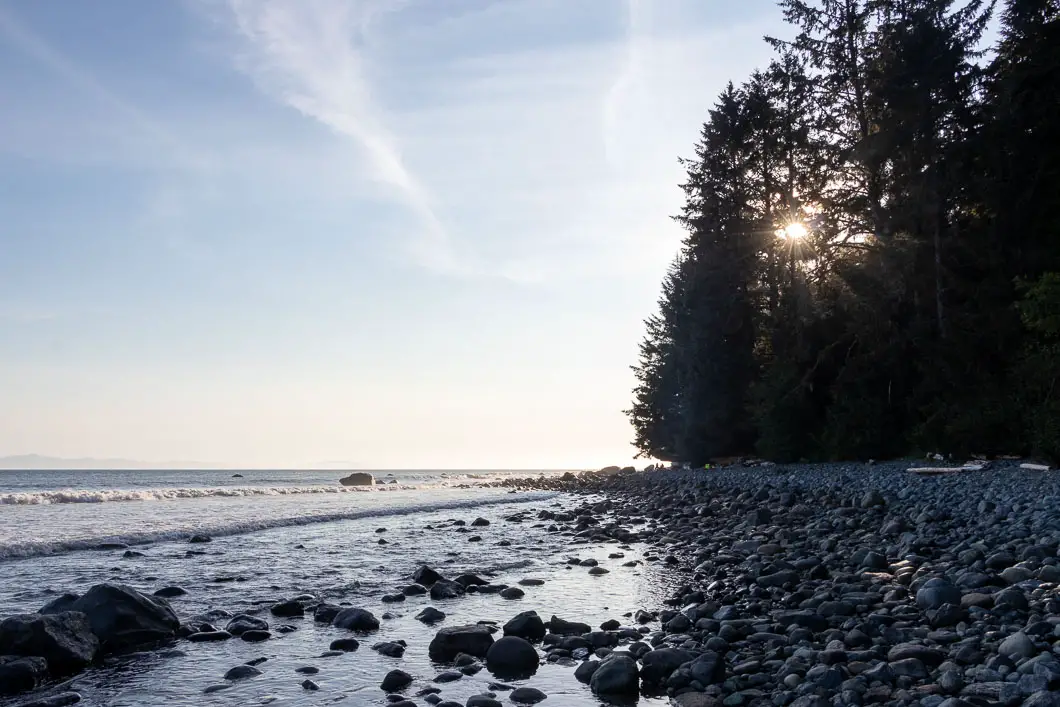
We made it to Bear Beach around 4:30 in the afternoon and set up our campsite right on the beach. We were able to relax, read some books, have a fire, and enjoy an incredible sunset.
We enjoyed our evening on the beach. We had a campfire and watched the ocean waves until it was time to sleep.
Distance by the map for day 3: 11 km.
Total hiking time: 4.5 hours.
Hiking the JDF – Day 4
Bear Beach to China Beach
We woke up to perfect weather on our final day.
All that was left to do was hike the final 8 km back to the China Beach trailhead, passing by the popular Mystic Beach along the way.
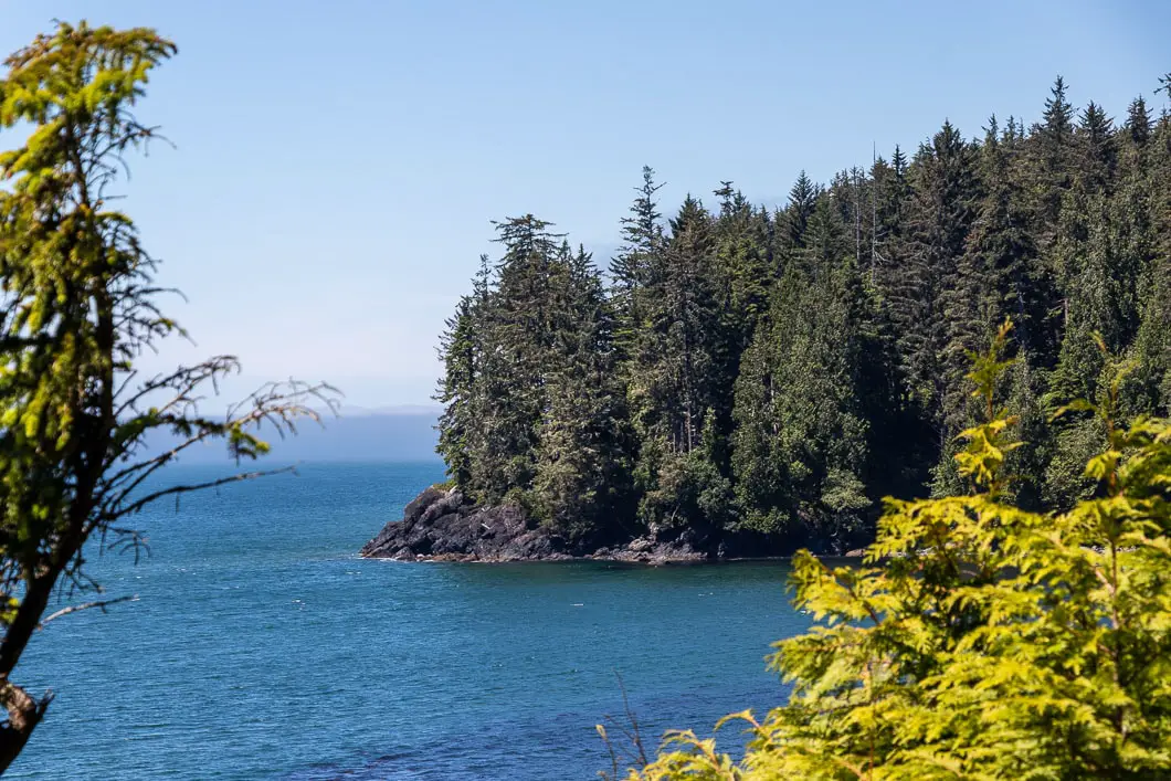
Our hike was mostly uneventful and enjoyable as the trail was so much easier than the previous few days. There were several elevated lookouts over the ocean and across to the United States.
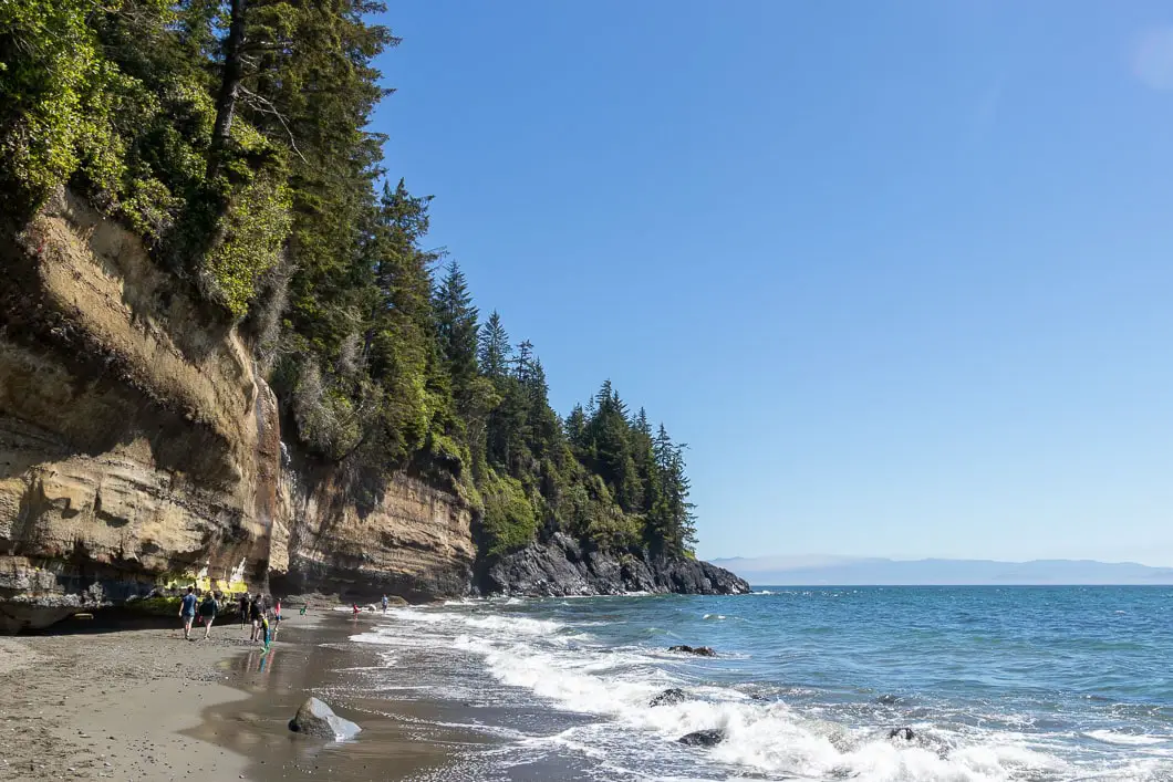
After a short break at the scenic, and on this day, busy Mystic Beach, we just had two kilometers left before we were back at our car, which would hopefully still have all its windows.
Hiking the JDF was an unforgettable experience, full of highs and lows. It was a difficult 4 days but the challenge was worth it in every way.
Distance by the map for day 4: 10 km.
Total hiking time: 5 hours.
Gear
Click to expand:
The Essentials
Clothing
- Gaiters
- Socks
- Base layers
- Underwear
- Hats
- Shorts
- Bandana/ Buff
- Warm sleepwear
- Hiking pants
- Rain shell
- Toque
- Insulating top layer
- Short sleeve shirt
- Long sleeve shirt
- Gloves
Camping Gear
- Backpack and rain cover
- Tent
- Sleeping pad
- Sleeping bag
Health and Hygiene
- Chapstick
- Biodegradable soap
- Synthetic travel towel
- Toothbrush and toothpaste
- Advil
- Toilet paper
- Hand sanitizer
- Blister kit
Extra Items
- Sandals / camp shoes
- Swim shorts
- Bug spray
- GPS Device
- Notebook and pencil
- Garbage bag
- Bear spray
- Clothing stuff sack
- Backup light source/ batteries
- Food stuff sack
- Camera
- Trekking poles
- Repair kit
- Cash
- Inflatable pillow or stuff sack
- Book
Download the PDF version of this guide for offline use
Resources
Helpful links
- Juan de Fuca Provincial Park official website
- B.C. Parks Backcountry Camping Permits
- Juan de Fuca Trail Map (PDF)
- Coastal Hikes: A Guide to West Coast Hiking (Guide book)
- Port Renfrew Tide Table
- Leave No Trace
- West Coast Trail Express (trail bus)
Download the PDF version of this guide for offline use
If you have any questions, or advice for future travellers, let’s hear it in the comments below!


Erika
Hey! Thank you for the tips. Which days were your favourite? I am planning to do sleep 1 or 2 nights and was wondering which sections are the ones I should not miss.
Thank you
Karl W
The lower half (southern-most portion of the trail) was my favourite. Sombrio and Bear Beaches were my favorite campsites. Have fun!!
Zenon Kripki
Hey! What month did you do your trek in?
Karl W
Middle of July!
Meg Rieder
Thank you so much for this very helpful post! If you have time, I was just wondering what time of year you hiked it? Thanks again, Meg
Karl W
Glad it was helpful! We hiked it in July.