Rohr Lake – Table of Contents
- Hike Introduction
- Hike Statistics
- Rohr Lake Video
- Map and Elevation
- Hiking Route Description
- Camping
- Directions and Parking
- Free PDF Download
- 360° Photosphere
Rohr Lake Hike Intro
Rohr Lake is a moderate to difficult hike near Pemberton. The trail begins just past the parking area for Joffre Lakes along the Duffy Lake Highway.
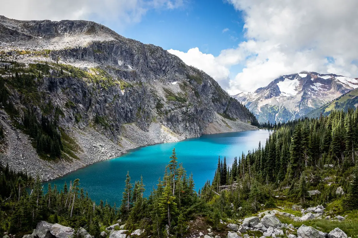
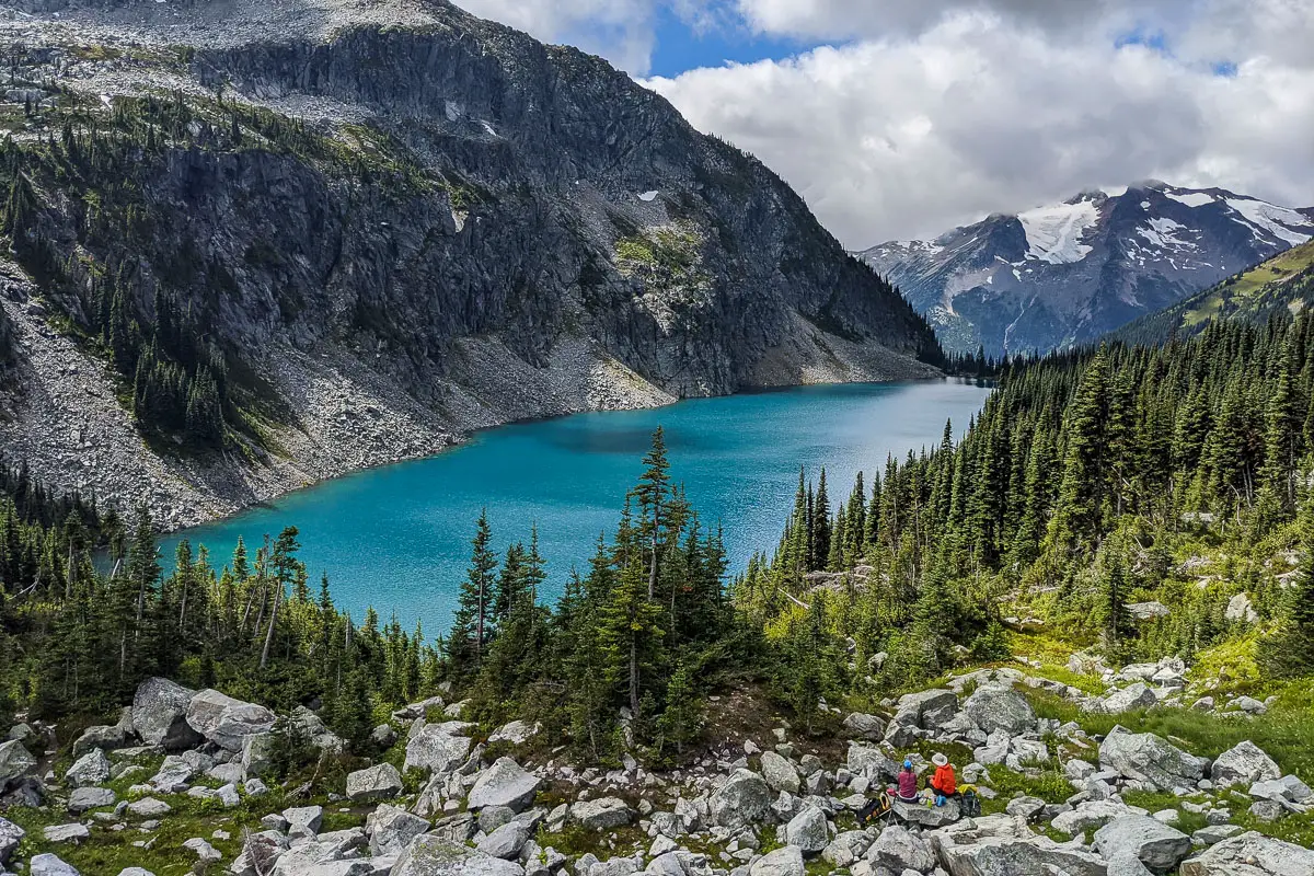
Rohr Lake itself is a beautiful turquoise colour. From the far end of Rohr Lake, sitting below Rohr Mountain, you get a picturesque vantage point of the lake. Cayoosh Mountain is seen prominently in the backdrop.
The hike begins on the Marriott Basin Trail, which is the winter route to the Wendy Thompson Memorial Hut.
Most of the trail to reach Rohr Lake is moderate (albeit somewhat muddy). The final push to the lake, however, is more difficult. For the final kilometre, you must make your way up a steep and technical boulder field. In the rain, this could be dangerous, so this hike is best left for dry days.
Once at the lake, you can walk around to the far side. There, you gain more elevation at another boulder field and have an incredible view down onto the lake.
Here is where most people enjoy a break before heading back down. You can, however, continue the hike up to Rohr Mountain itself. The route described below is for the lake and back, not to Rohr Mountain.
It is also possible to camp near the lake (details on camping are below).
Rohr Lake Hike Stats
Rating: Difficult
Distance: 10.5 km
Net Elevation Change*: 542 m
Highest Point: 1,826 m
Time Needed: 6 Hours
Type: Out-and-back
Type: Out-and-back
Season: June – September
Dogs Allowed: Yes, on leash
Est. Driving Time from Vancouver: 3 Hours
Trailhead Coordinates: 50.387271, -122.463508
*For a better understanding of the stats and difficulty rating, check out the Hiking Guides page for details. Always carry The Essentials and fill out a trip plan.
Rohr Lake Video
Here is a 4-minute video of our experience on this hike!
Rohr Lake Hike Map and Elevation
Rohr Lake
Profile
Rohr Lake Hiking Route
From the parking area along the Duffy Lake Highway (directions), walk back west a short way. You will find the faint outline of a trail on the other side of the ditch. There’s no flagging or marker, but if you look closely you should see a faint trail.
(If you don’t find the trail, you can continue to walk back along the highway until you reach the Cayoosh Creek Forest Service Road and begin walking up that.)
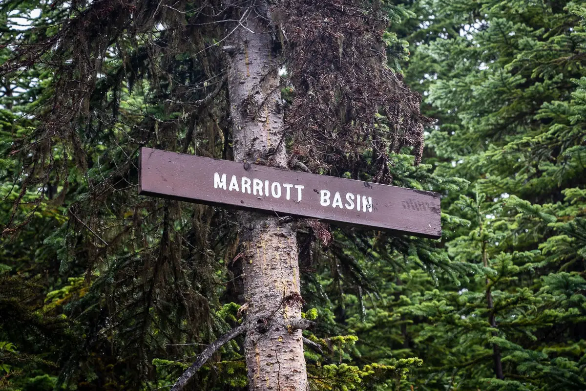
Walk up the faint trail and follow it for about 5 minutes. The trail will connect to the service road, emerging at a junction. You’ll see a sign in a tree that reads “Marriott Basin”. Stay straight, (heading north) at this fork.
The road has a slight incline as you walk. Follow the road for about ten minutes, and you’ll come to a small parking area. Just past the parking area, there’s a fork with another road that heads up to the right. Stay left.
After about 2.3 kilometres or half an hour of walking, you will reach the end of the road. There’s one final pullout parking spot here. If you have a 4×4 and are lucky, maybe you can get it and begin your hike here.
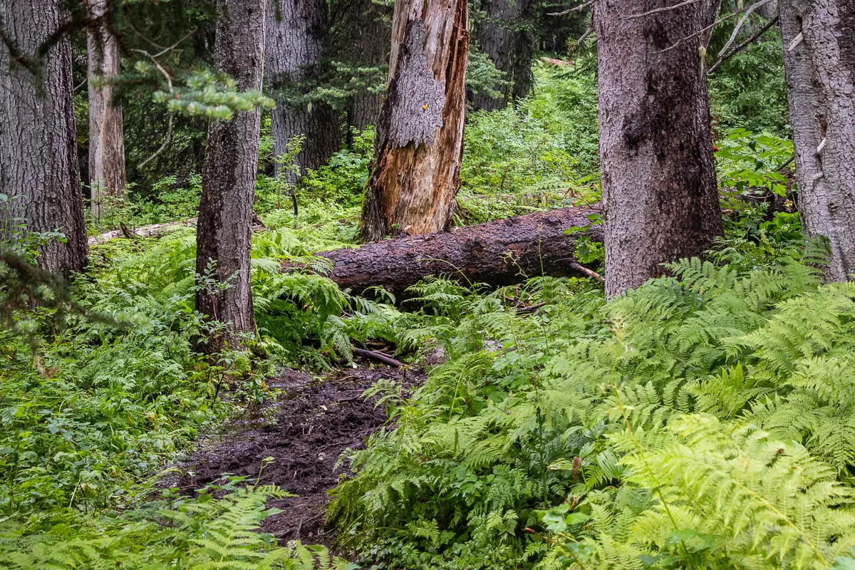
The trail then enters into the trees onto the single-track Marriott Basin Trail. Immediately, the trail becomes technical, tree-rooty, rocky, and a little muddy. There are boardwalks to help you get over some soggier sections.
You’ll come to an avalanche advisory board as well as the sign that reads ‘Wendy Thompson Hut Trail’.
The Wendy Thompson Hut, which is in the Marriott Basin (a different area than Rohr Lake), is managed by the Alpine Club of Canada. It is a popular destination for ski touring in the winter.
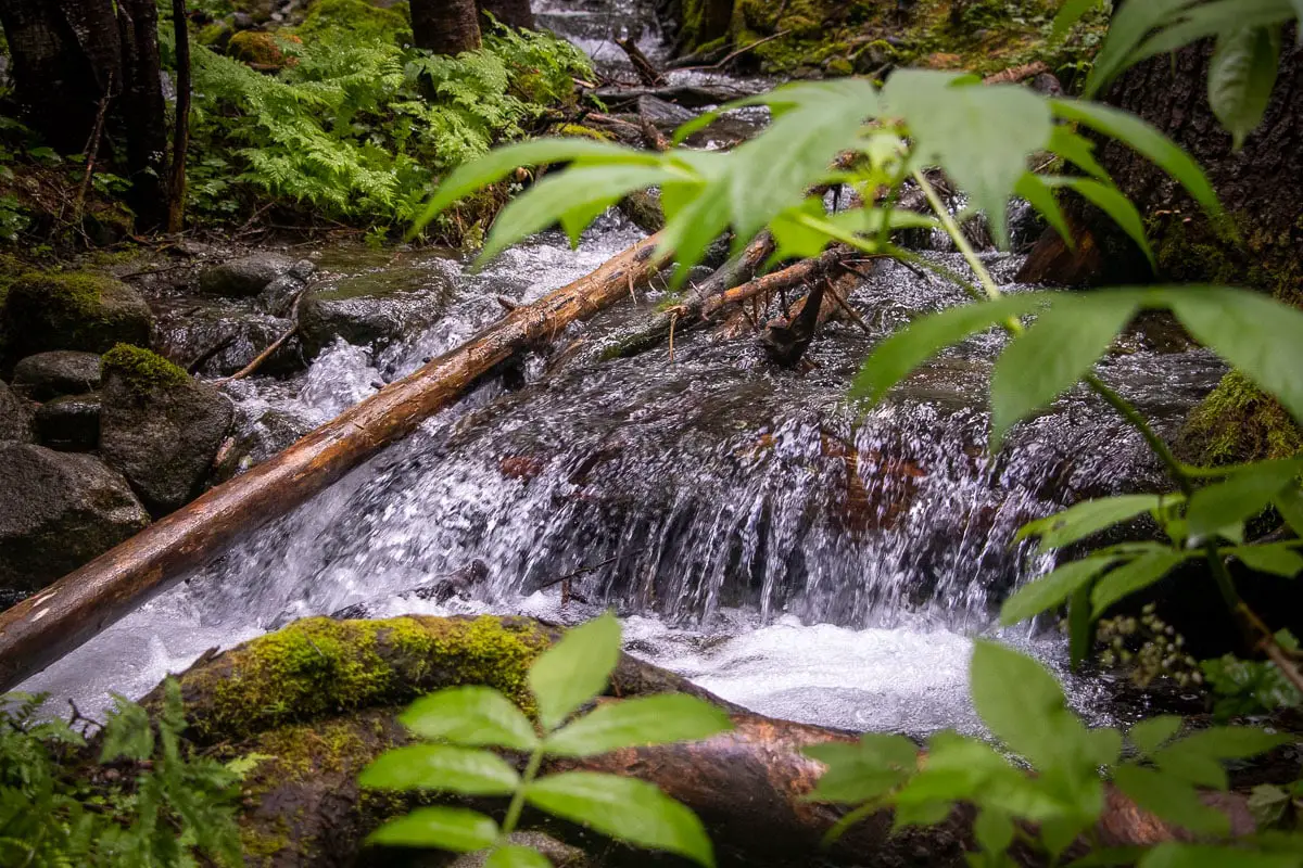
There are orange markers in the trees periodically. You’ll pass by a trail that goes to the right, and there will be some flagging. Stay left. Shortly after, you’ll come to a creek crossing with a log bridge.
You’ll pass over another creek shortly after. As soon as you cross over the creek, the trail begins climbing uphill. There are frequent orange markers in the trees here.
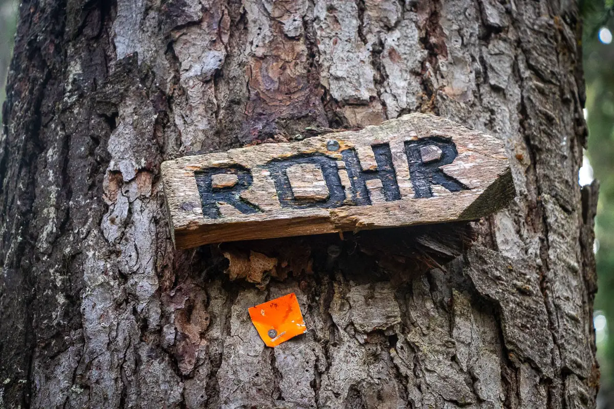
About 3.5 kilometres, or about an hour into the hike, you’ll come to a junction between Rohr Lake and the Marriott Basin. There are wooden signs in the trees. One is marked ‘WTH’ (for the Wendy Thompson Hut) and the other is marked ‘Rohr’. Go right, following the direction marked for Rohr.
There will continue to be orange markers in the trees. The trail will continue to climb up and be narrow single-track but is easy to follow. The trail is clear of debris, aside from the occasional deadfall.
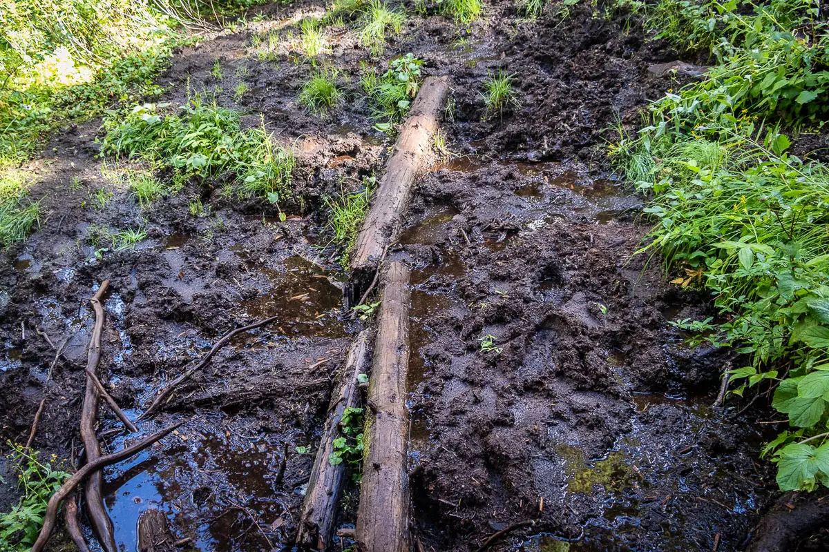
As you climb up the trail, the biggest challenge will be a few muddy sections. If you have gaiters, you will likely appreciate wearing them through these sections.
After four kilometres, the trail will come to a little meadow with a small, calm stream.
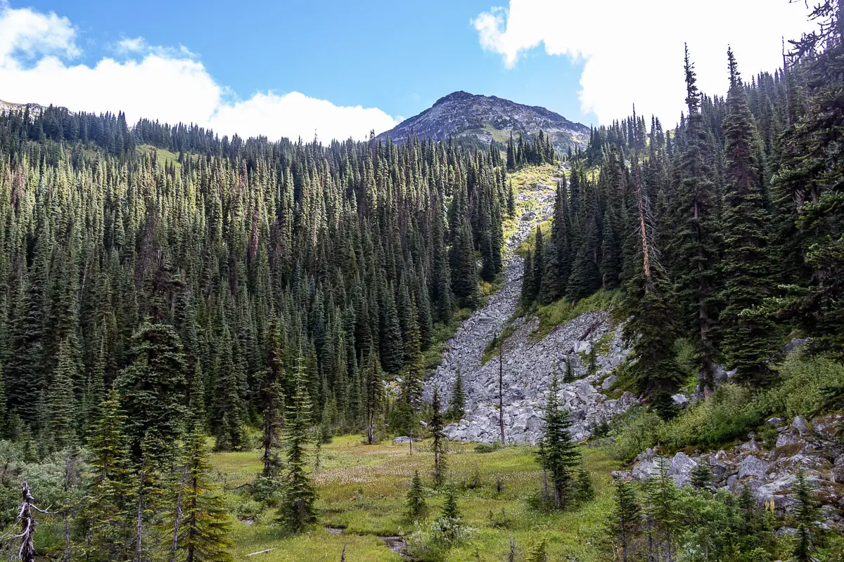
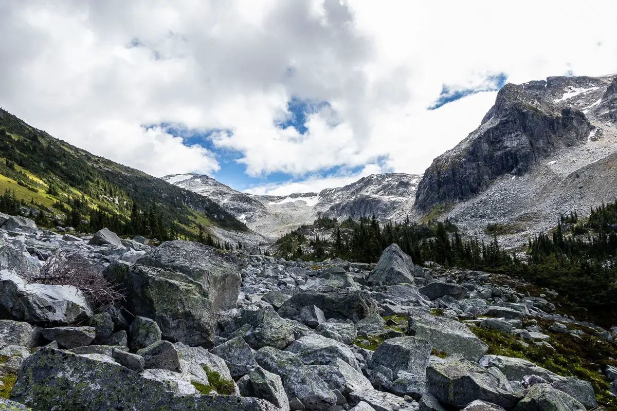
Follow the trail up to the right, and you’ll emerge into a large boulder field. There is a creek running down the right-hand side of the boulders. This is the hardest part of the hike.
Take caution as you scramble up the large, loose rocks. There will be a few paths you can follow. Generally, you want to stay on the right-hand side of the boulder field, roughly following up alongside the water.
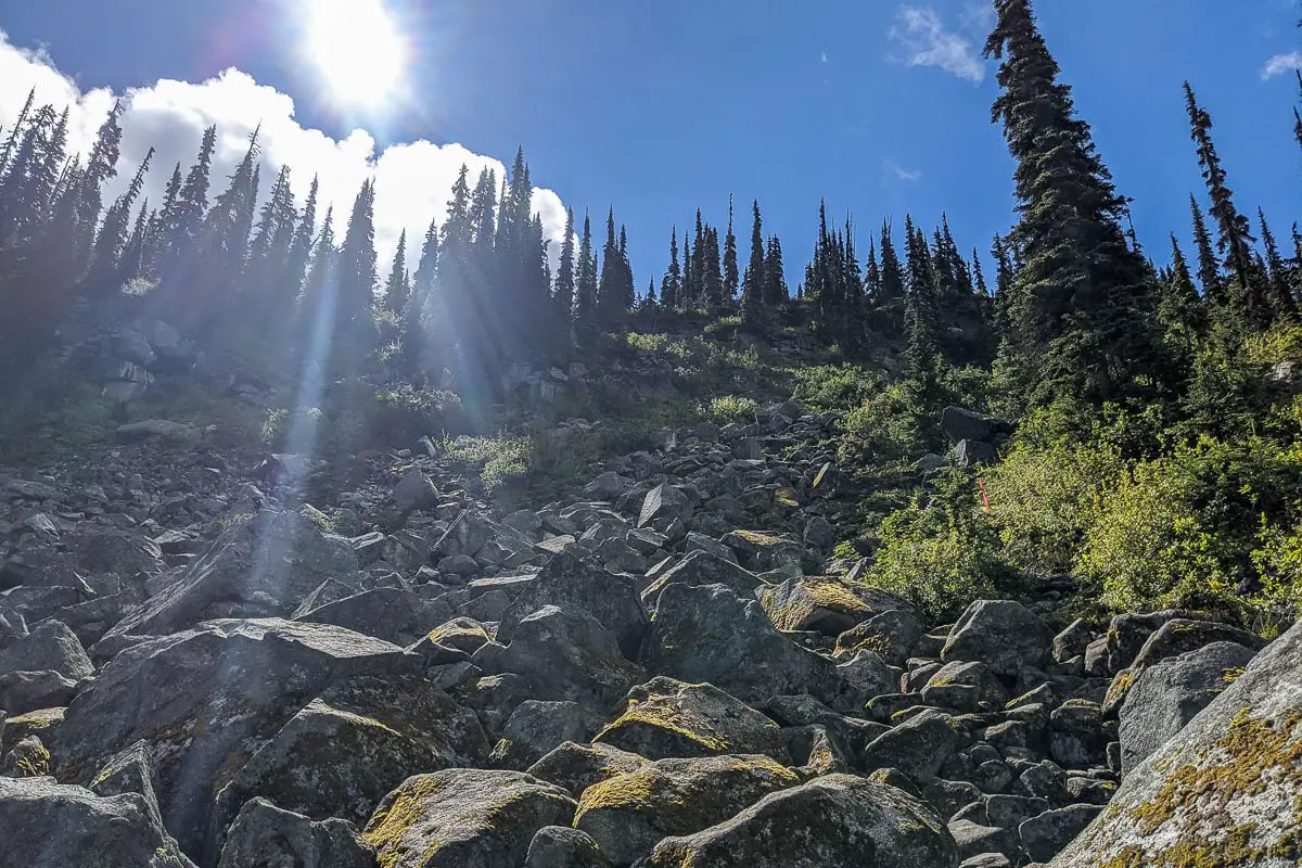
Take your time and use your best judgment to scramble up to the top. There is some flagging and small cairns to help, but the trail isn’t oblivious in some places. It will likely take at least 30 minutes to get up.
At long last, you’ll come out to the beautifully blue Rohr Lake. The water is clear, and you may spot some Rainbow trout along the edge of the water.
To get a better view of the lake, you must hike a little further to the far side.
There is a trail that flanks the left side of Rohr Lake and climbs in elevation to an alpine bench. Following the trail, you will emerge to another boulder field. Weave through the boulders a little way and you’ll come to a spectacular lookout of Rohr Lake.
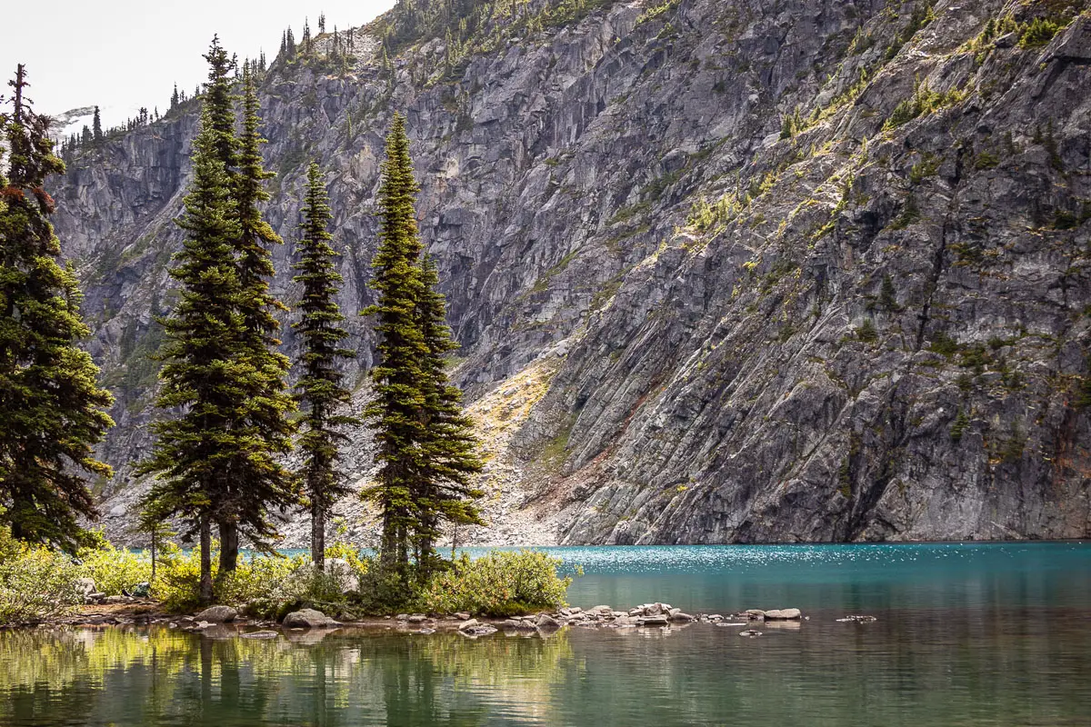
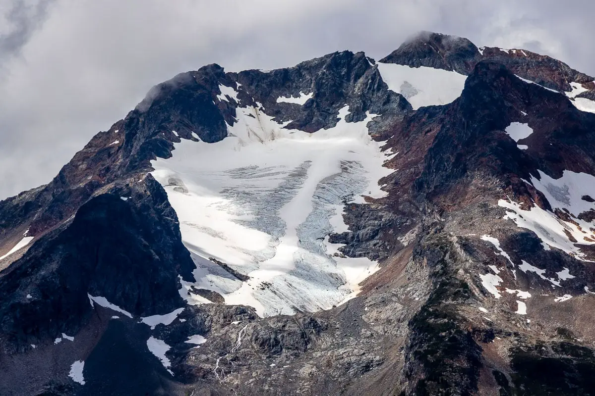
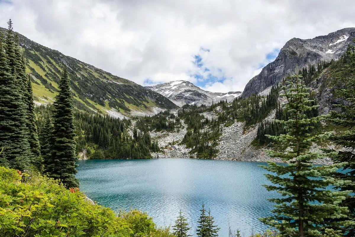
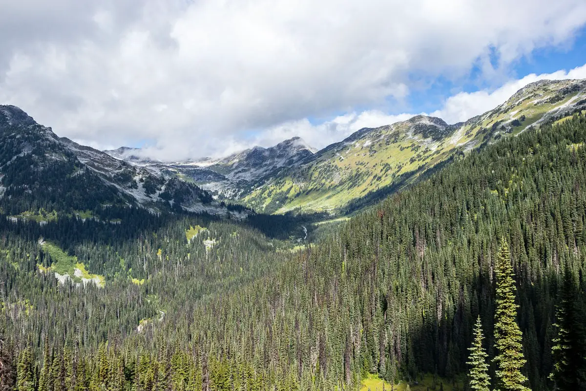
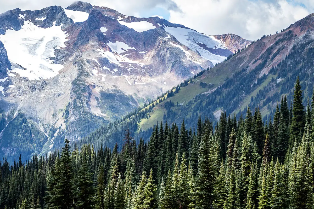
A small peak hugs the lake on the south, and Cayoosh Mountain looms in the backdrop with its glacier. Many peaks of the Cayoosh range can be spotted. Visible to the west, up the rocky slope, is Rohr Mountain, which sits at 2,423 m. It can be scaled but you should budget an additional 4 hours if you plan to summit. It is exposed and requires some route-finding, so should be tackled by experienced hikers.
Cool fact: “The mountain draws its name from Father Victor Rohr, a missionary who worked with First Nations people from Skookumchuck to Williams Lake.” [source]
Rest here, and enjoy the view of the lake. You can likely hear the marmots (American pika) calling loudly from around the rocks, and you might be able to spot a few of them.
When ready, retrace your steps along the same route, back to your car.
Download the PDF version of this guide for offline use
Camping at Rohr Lake
Camping is permitted at Rohr Lake. Campfires are strongly discouraged.
Most spots can be found at the western end of Rohr Lake, where you emerge from the boulder field. Head right as you come to the lake, and you’ll find some spots.
There are also a few flat spots on the bench above the lake where you can find a place for a tent.
If you camp and enjoy this beautiful area, please pack out everything you pack in and leave no trace.
Directions and Parking
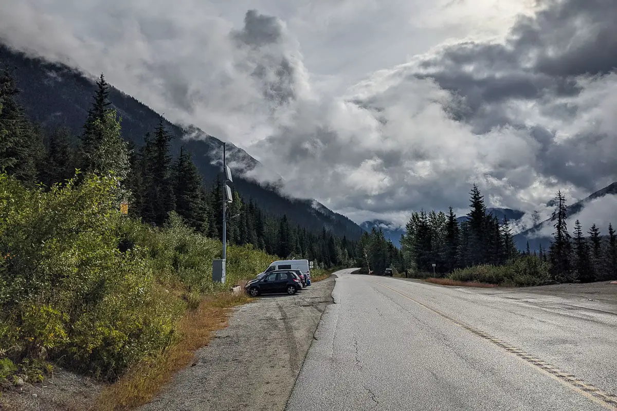
The directions here are to a parking area on the side of the Duffy Lake Highway. There is a forest service road (Marriott Basin Forest Service Road) just before reaching this parking area that you can drive onto.
A 2WD vehicle can navigate down this road for some distance and find one of the few pullout areas on the narrow road to park. This would save you some hiking distance. A vehicle with high clearance could make it to the end of the road, though available areas to actually pull off the road and park are limited.
The road can be narrow, so if you are worried about scratching your paint or otherwise damaging your low-clearance vehicle, the easiest thing to do is to park on the road across from the salt shed. The walk down the road is easy.
If you drive down the road and park, you can remove some distance from the stats listed above.
Google Map directions are here.
Other great hikes in this area
- Joffre Lakes (moderate)
- Nairn Falls (easy)
- Seton Lake Lookout (easy)
- View all hiking guides here


