Sea to Summit Trail – Table of Contents
- Hike Introduction
- Hike Statistics
- Sea to Summit Video
- Map and Elevation
- Hiking Route Description
- Directions and Parking
- Free PDF Download
Sea to Summit Hike Intro
As of June 17, 2022, a free day-use pass is required to visit Garibaldi Provincial Park, Golden Ears Provincial Park, and Joffre Lakes Provincial Park. Passes are available to book starting at 7 am, two days in advance of your planned visit.
Day use passes are not needed when camping, in which case a camping permit is required instead.
For full details on obtaining a Day-Use Pass to access this hike, please visit the B.C. Parks website.
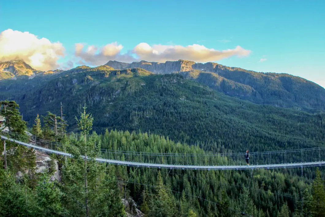
The Sea to Sky Gondola in Squamish opened in 2014, allowing people to travel from sea level to over 800 m in the span of 10 minutes. With the opening of the gondola, also came the opening of some new trails, and access to previously hard to reach trails. One such trail, which is poised to become popular – and one that draws a lot of comparisons to the Grouse Grind – is the Sea to Summit Trail.
The Sea to Summit Trail expands upon the existing Upper Shannon Falls Trail, which is an offshoot of the popular Stawamus Chief hiking trail. The trail is steep, long and challenging. It provides a great workout, and also nice views along the way, including an up-close look at Upper Shannon Falls. Best of all, you can enjoy a beer at the summit lodge, and then buy a ticket to download on the Sea to Sky Gondola.
Near the top part of the trail, you also have the option of diverting onto the Shannon Basin Loop – an alternate route to reach the top.
Sea to Summit Hike Stats
Rating: Moderate
Distance: 7.5 km (one way)
Net Elevation Change*: 835 m
Highest Point: 885 m
Time Needed: 3 – 4 Hours
Type: Point to point
Season: April to October
Dogs Allowed: Yes (but not up the gondola)
Est. Driving Time from Vancouver: 60 Minutes
Trailhead Coordinates (Shannon Falls Parking lot): 49.671559, -123.158853
*For a better understanding of the stats and difficulty rating, check out the Hiking Guides page for details. Always carry The Essentials and fill out a trip plan.
Sea to Summit Hike Video
Sea to Summit Hike Map and Elevation
Sea to Summit
Profile
Sea to Summit Trail Hiking Route
The Sea to Summit trail brings you from the base of the Sea to Sky Gondola to the Summit Lodge at the top. You can start at the Stawamus Chief parking lot, the Sea to Sky Gondola basecamp, or from the Shannon Falls parking lot. When I did this trail, I started at Shannon Falls, because, a) it’s where I could find parking and, b) it is the most scenic way to start the hike while only adding a little bit of easy distance to the trip.
Starting from Shannon Falls, follow the signs for the Stawamus Chief. Take this trail leading away from the Shannon Falls viewing platform. Be sure to ignore the signs for the gondola as that will just take you to the gondola basecamp – and follow the signs for the Sea to Summit trail. It’s a short, easy walk and before long you’ll cross over Oleson Creek to join up with the Chief Backside trail.
If you go on a weekend, you’ll be joined here by a mass of people making their way up/down The Chief. Don’t worry, once you zig off this trail the crowd will thin out dramatically. From here you’ll notice the ‘Sea to Summit’ trail markers. Large green diamonds in the trees, starting at #1 and going up to #400 at the summit. The entire trail is well marked and you can follow these markers the entire way.
Climb up the stairs and steep terrain, until, at about 280 m elevation, you see a junction for Upper Shannon Falls trail. Follow the signs to the right, away from the crowd. The next stretch of trail is relatively easy as you work your way back towards Shannon Falls.
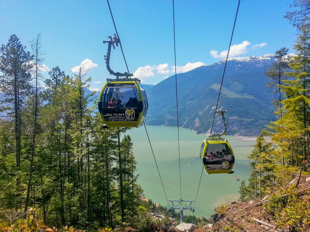
You’ll come out under a clearing for the Sea to Sky Gondola itself. You can watch the gondolas zip by overhead and wave at the passengers. You’ll also get a great view of The Spit in Squamish and if you look closely you can probably see kite surfers playing in the water.
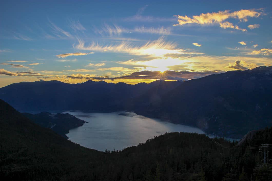
From here, it’s some more climbing and a short distance to Upper Shannon Falls. Enjoy the waterfall, and then carry back on up the trail. You’ll emerge from the dense trees to a few bluffs with more great views of Squamish below. Continue to follow the markers and you’ll reach a map at the junction for Shannon Basin Loop.
Going left here will take you on the Upper Sea to Summit Trail (description below). Going right will continue along the Shannon Basin Loop Trail. The Shannon Basin Trail is a slightly longer, but less challenging route to the summit lodge. The Upper Sea to Summit Trail is steeper and more technical, but it is also a shorter and more scenic route.
When you first connect onto the Upper Sea to Summit Trail you will be on a beautiful flat section of trail in the trees. You will once again pass underneath the gondolas before the trail begins to climb sharply upwards again. There are a few sections with chains to assist your climb. It’s a matter of simply following the markers to the summit.
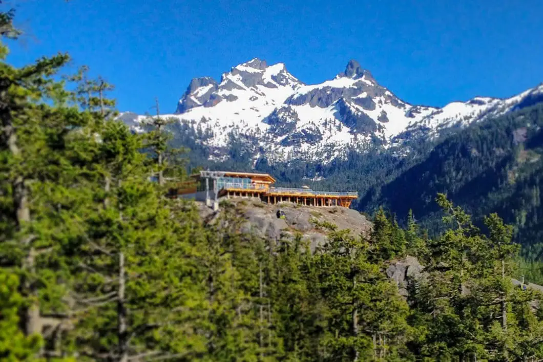
There are only a few kilometers to go from here on the relatively flat trail. Once you’ve reached the summit lodge you can grab a beer and a bite before heading down on the gondola ($10).
The video at the top of this post was shot by Jeff Pelletier and depicts our route as we went from Shannon Falls up the Sea to Summit Trail.
Download the PDF version of this guide for offline use on any device
Directions and Parking
Take Highway #99 heading north past Horseshoe Bay towards Squamish. As you near Squamish, watch for the signs for Shannon Falls and the Sea to Sky Gondola (they’re hard to miss), and simply pull into the lot right off the highway.
Google Map directions are here.
Parking: Since you are hiking up (and not taking the gondola) don’t park at the gondola basecamp as that lot is limited to 3 hours. There is long term parking at Darrell Bay (to the south across the highway from Shannon Falls) and Chances Casino (to the north), and a shuttle operates for these lots on weekends and holidays.
You can also park at the parking lot for the Stawamus Chief Provincial Park, or at the parking lot for Shannon Falls (recommended if you can find a spot).
Help Us Create New Hiking Guides!
Advertising revenue is falling quickly across the internet, and independently-run sites like Outdoor Vancouver are hit hardest by it. We are committed to keeping Outdoor Vancouver free and independent, but we need to find other ways to continue operating this site.
If you like our hiking guides and would like to help, please consider making a contribution with the PayPal or Patreon links below – any amount helps! There is also a list of other ways you can support Outdoor Vancouver here!
Becoming a Patron through Patreon unlocks membership benefits and rewards. Learn More.
A one-time donation through PayPal helps with monthly website hosting costs.
Other great hikes in the area
- Al’s Habrich Ridge (moderate)
- Hiking the Stawamus Chief (moderate)
- Hiking Upper Shannon Falls (moderate)
- View all hiking guides here
Download the PDF version of this guide for offline use




Jessica
I am planning on doing this hike at the end of October. Does anyone have experience with the trail during that time of year? What can I expect? Thanks for all and any help!
Jill Warland
Have done the Sea-to-Summit twice this summer, first time taking the Wrinkle Rock route and the second time the regular logging road route (thought it would be easier for the dog). On the way down the tram though we noticed a trail has formed underneath the gondola nearly all the way up, save the cliff face at the bottom. How does one access this route? We saw two hikers coming up even below where the Sea-to-Summit first crosses under the gondola.
Karl W
I know the trail you are referring to, which cuts up directly under the Gondola. I also saw someone hiking up, but I’ve only done the full trek up once so far. I don’t know where that trail begins, but as soon as I know I’ll respond here! (or if you find out first, please let me know!)
Ted M
Yes I too am looking for this trail ! Anyone?
Loren
A few years late, but it’s called the Skid Trail. On the map, you will cross under the Gondola once near the parking lot before any actual “hiking.” As you transition from the Chief trail to the Sea-to-Summit, you will pass under the gondola for the first time on the trail. The junction is here.
Maria Christina
I just made it to the SUMMIT last Thursday (08/21/14) morning all alone. Had the downloaded map with me and followed the trail….from the Gondola base camp (my 2 kids and a friend took the tram) to the Chief trail then followed the Upper Shannon Falls trail. Got a little bit lost and had to find the connecting route just after the big boulder viewing area, VOILA – found it among the bushy trees. Continued on till where the marks for the other continuing trails are. I really planned to take WRINKLE ROCK trail and so its the one i followed. I just kept on my pace till I noticed that moving gondolas are just overhead my path and a really nice view. Headed on till the Summit Lodge is seen from afar which I was able to reach in about 12 minutes more. A really rewarding view up there where i met with my friend and two kids. A 2 hours and 20 minutes record for me.
Karl W
Nice work Maria! All in all it sounds like a successful hike!