Hollyburn Mountain Snowshoe – Table of Contents
- Hollyburn Snowshoe Introduction
- Hike Statistics
- Hollyburn Mountain Video
- Map and Elevation
- Hiking Route Description
- Directions and Parking
- Free PDF Download
Hollyburn Mountain Snowshoe Intro
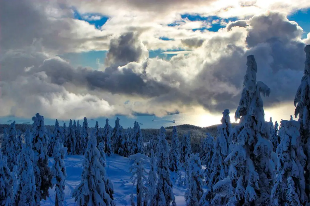
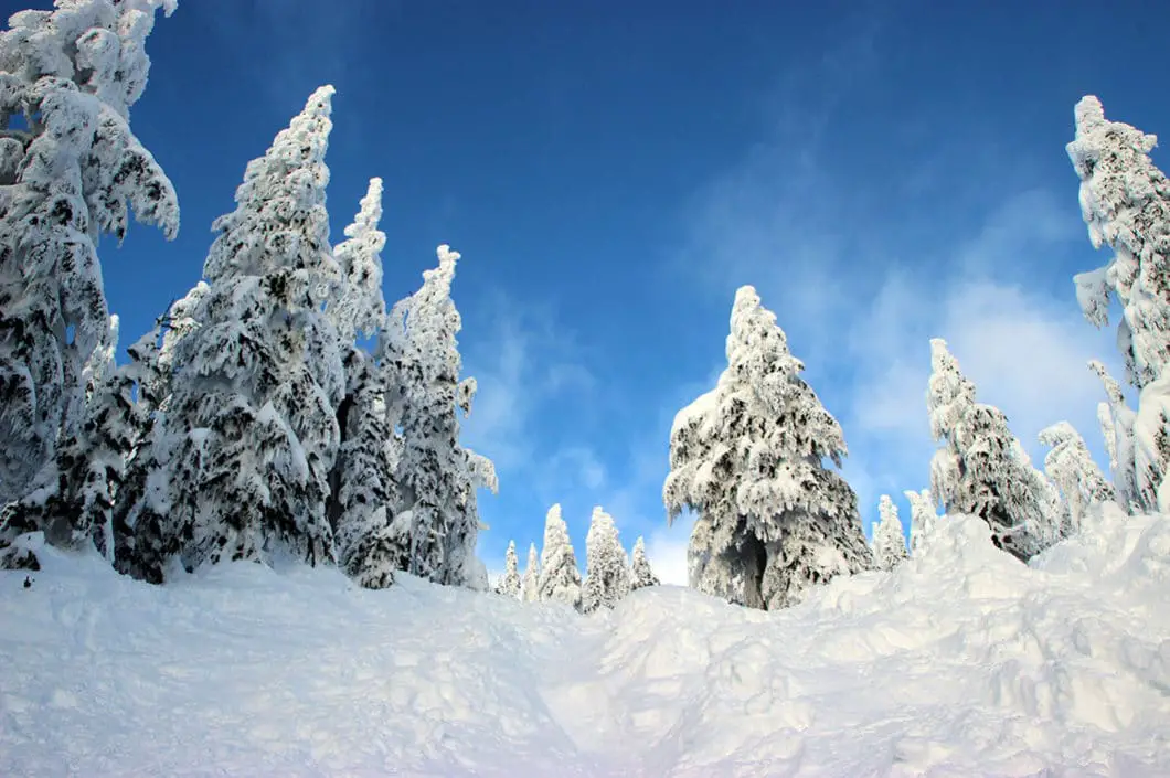
Hollyburn Mountain (aka Hollyburn Peak) in Cypress Provincial Park is one of the most popular winter trails around Vancouver. On a sunny weekend day, hundreds of people flock to the trail to get some fresh winter air and soak up the spectacular view of the city and surrounding mountains.
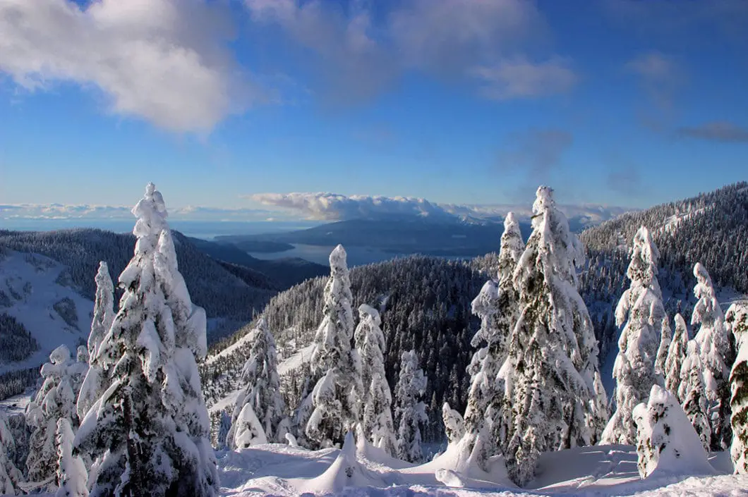
The Hollyburn Peak Trail is marked by B.C. Parks and takes you 2.5 km to the end of the Cypress Mountain Nordic ski area, and then up to an amazing look-out of the city of Vancouver. Those that have the stamina to make it to the summit of the mountain, are rewarded with an unbeatable view of the Cypress Bowl, The Lions, and many other mountains. On a clear day, there is an an incredible panorama of brilliant, white snow.
The Hollyburn Mountain Trail is a good option for the beginner snowshoer as the trail is well-flagged and heavily used.
Because the Hollyburn Mountain Trail runs adjacent to the Cypress Mountain Resort Nordic area, many people wonder if the trail is free to use. The Hollyburn Trail is indeed free to snowshoe. Cypress Mountain Resort offers an additional 11 km of marked snowshoe trails within their Nordic area, which is paid access, but separated.
It’s important to note, since you are not on resort terrain, the area is not patrolled and you should be appropriately prepared for backcountry travel. Avalanches can occur on Hollyburn Mountain and you need to know the current conditions and must be prepared.
You can rent snowshoes from the Cypress Mountain rental hut if you need them, but you might not even need snowshoes depending on the trail conditions. The trail is heavily used, meaning the snow is often very compact. If the snow is compact, you may find it easier to wear Yak Trax, Kahtoola Microspikes or Hillsound Equipment Trail Crampons. Poles may also be helpful for the steep sections of this hike.
Avalanche Awareness
Avalanche.ca rates this route as Class 2 (Challenging) terrain: “Exposure to well defined avalanche paths, starting zones or terrain traps; options exist to reduce or eliminate exposure with careful routefinding. Glacier travel is straightforward but crevasse hazard may exist”. Use the Avalanche.ca Trip Planner to factor in the risk levels with current avalanche forecasts. More information about winter travel and avalanche safety can be read here.
Hollyburn Mountain Winter Hike Stats
Rating: Moderate
Distance: 7.5 km
Net Elevation Change*: 440 m
Highest Point: 1,326 m
Time Needed: 3 – 4 hours
Type: Out-and-back
Season: November to May
Dogs Allowed: Yes, on leash
Est. Driving Time from Vancouver: 30 minutes
Trailhead Coordinates: 49.379274, -123.191640
Hollyburn Mountain Video
Here is a 2-minute video of our experience on this snowshoe!
Hollyburn Peak Map and Elevation
Hollyburn snowshoe
Profile
Hollyburn Mountain Snowshoe Route
The Hollyburn Mountain Trail begins by the B.C. Parks sign near the Nordic area parking lot on Cypress Mountain. The trail is off the side of the road before you reach the cross country ski/ snowshoe rental hut. On the side of the road, there are some stairs chopped into the snow which you can climb up and then put on your snowshoes. There is a sign here which states the Hollyburn Peak Trail is 5 km, return. However, if you’re going to the Hollyburn Mountain summit, the total distance is closer to 7.5 km.
From the start, the trail begins a gradual climb. For the first 2.5 km of the trail, you are guided by orange marker poles, stuck into the snow. They are very tall, have reflectors for dark, and are close together. Staying on the trail should not be a problem.
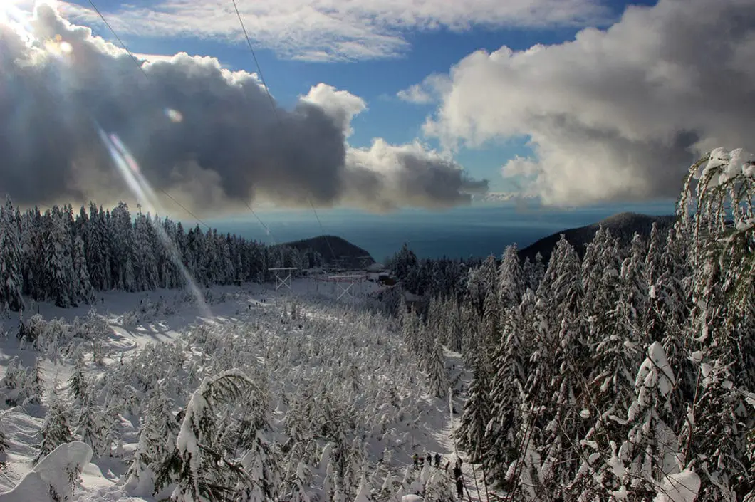
As you climb, the Cypress Mountain Nordic area will be on your right, as will be a powerline. The trail starts out very wide, and within 10 minutes there is a quick, steep switchback which leads to a clearing under the powerline. From here, you get a fantastic, open view of the Nordic ski area, with Vancouver and Georgia Straight far below.
Cool fact: In 1939, the official opening of the Lions Gate Bridge linking Vancouver and West Vancouver by His Majesty King George VI and Queen Elizabeth, signaled the end of the West Vancouver Ferry era and heralded the start of a population expansion in the city. As the population of the area increased there was an increasing necessity for more areas for skiing and hiking which resulted in the creation of Cypress Provincial Park. [source]

From this lookout, you continue up and over a small hill which has a steep descent on the backside. The trail will then narrow, and continue to roll and wind its way through the trees, mostly at a slight incline.
After roughly 2 km, you will come out to an area which meets the end of the groomed Cypress cross country ski area. This is the end of the Hollyburn Peak Trail as marked by the orange poles. The mountain will open to your left, to a wide slope clear of trees, which resembles a ski run. Proceeding beyond this point carries elevated avalanche risk, so make sure you are prepared and aware.
From here, there’s a steep climb up for a few hundred meters. There’s a leveled out area at the top of the hill, which has a great view of Vancouver and the Burrard Inlet. This spot is where most people turn around. However, the best view remains about 1 km above, up the steep and daunting-looking terrain. If you have the energy and the time before sunset, it is well worth the effort on a clear day. It should take about 30 minutes more. The final stretch to the summit is very steep and snow conditions can vary greatly, so use your own judgment as to your ability to get up and back down.

If you decide to reach the peak, you can find some tracks and make your way up the hill. You will hit another brief flat plateau before coming to the final, even steeper section of trail.
Once you reach the summit you are rewarded with an amazing panoramic view. You can see Vancouver, Stanley Park, the Lions Gate Bridge, Cypress Bowl, Howe Sound, the Georgia Straight, The Lions, Grouse Mountain and even more.
Stay at the top, replenish your carbs, snap photos, and hang out with the whisky jacks until you’re ready to head back down. The return trip should be much faster, once you’re beyond the initial steep descent.
Download the PDF version of this guide for offline use

Directions and Parking
From the Upper Levels Highway (Highway #99) in West Vancouver. Take exit #8 which will be marked for Cypress Mountain Provincial Park. Follow Cypress Bowl Road, up, up, and up until you reach the top of the road. Don’t drive all the way to the resort. Instead, turn right at the three-way intersection which is marked for the cross-country skiing area.
Parking on weekends can be very difficult here, and you may have to park on the side of road itself and walk in.
Google Map directions are here.
The 14 Best Snowshoe Trails Around Vancouver
Click here to read our guide to snowshoeing in and around southwest B.C.
Other Great Snowshoe Trails
- Dog Mountain (moderate)
- The Snowshoe Grouse Grind (moderate)
- Black Mountain (moderate)
- 14 Best Snowshoe Trails around Vancouver
- View all hiking guides here


bloons tower defence 5
Thank you for the detailed guide! I’ve been looking for new snowshoeing trails, and your tips on the Hollyburn Mountain trail sound perfect. Can’t wait to try the route and enjoy the stunning views!