Hope Lookout Trail – Table of Contents
- Hike Introduction
- Hike Statistics
- Hope Lookout Video
- Map and Elevation
- Hiking Route Description
- Directions and Parking
- Free PDF Download
- 360° Photosphere
Hope Lookout Hike Intro
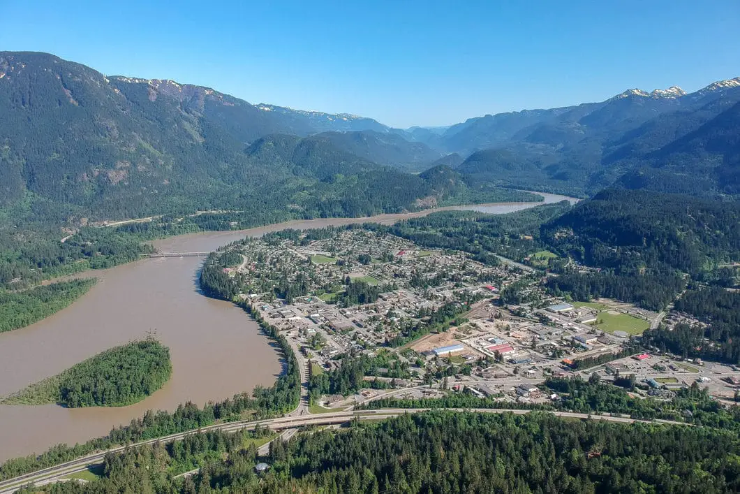
The Mt. Hope Lookout Trail is a short but steep hike just off Highway #1 in Hope, B.C. The trail takes you partially up Mount Hope, to a clearing with a beautiful lookout over the valley below.
Built in the 1990’s, the Hope Lookout Trail is often called “Hope’s version of the Grouse Grind”. The trail is a popular one for exercise and is used for the annual Hope Hustle race.
The trail itself offers a few partial views along the way up but is heavily shaded in the forest until you reach the lookout. The lookout area is on a talus slope at an elevation of 524 m that provides an incredible view of the District of Hope below.
From the lookout, you can also see the Fraser River, Kawkawa Lake, and the mountains that surround Hope to the north.
Hope Lookout Hike Stats
Rating: Moderate
Distance: 4.2 km
Net Elevation Change*: 462 m
Highest Point: 524 m
Time Needed: 3 Hours
Type: Out-and-back
Season: March – November
Dogs Allowed: Yes
Est. Driving Time from Vancouver: 2 Hours
Trailhead Coordinates: 49.372589, -121.441798
*For a better understanding of the stats and difficulty rating, check out the Hiking Guides page for details. Always carry The Essentials and fill out a trip plan.
Hope Lookout Trail Video
Here is a 1-minute video of our experience on this hike!
Hope Lookout Trail Map and Elevation
Hope Lookout
Profile
Hope Lookout Hiking Route
From the small parking area, find the information board and map. You’ll see a large sign that says Mt. Hope Lookout Trail.
Start walking up the gravel road that leads up to your left. As you approach the top of the hill, you’ll see another sign directing you to your right. Just as you come around the corner, the trail leads uphill on your left. The trail is just before you reach the metal gate with a warning sign.
In the trees here, you’ll see a sign directing traffic for hikers and bikers. As a hiker, head left, following the cleared-out area directly up the hill.
The hill is steep but short. At the top, you’ll see another sign where the trail cuts into the forest. Take a right into the trees and onto the singletrack trail.
You can still hear the highway behind you, but you’ll now be quickly walking into the forest. The route has several small splits. Stay left, following the gradual incline. There are orange markers in the trees which you’ll see every minute or so. The trail is very well-defined and easy to follow.
400 m into the hike, you will cross over a wooden footbridge over a stream bed (dry most of the year).
After about 700 m or 15 minutes, you will come to a marked junction. Going straight would take you to the Joan Greenwood Loop Trail. Instead, go right, in the direction marked for the Mt. Hope Lookout Trail.
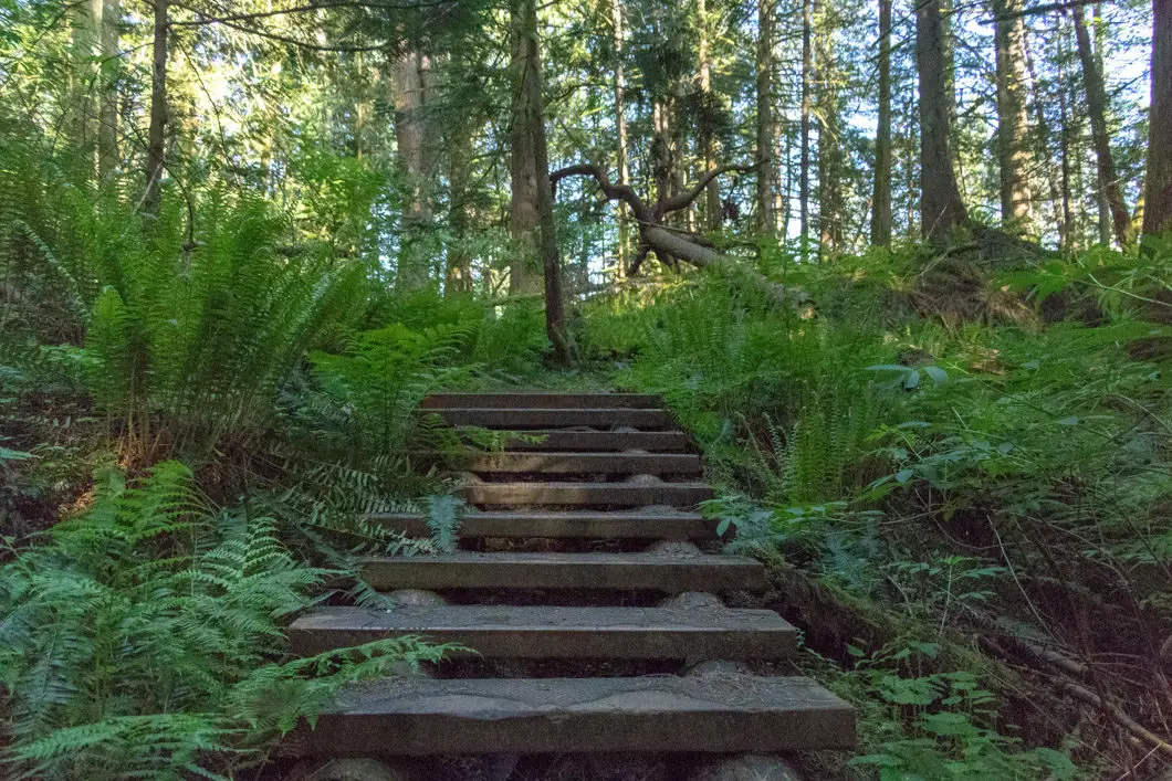
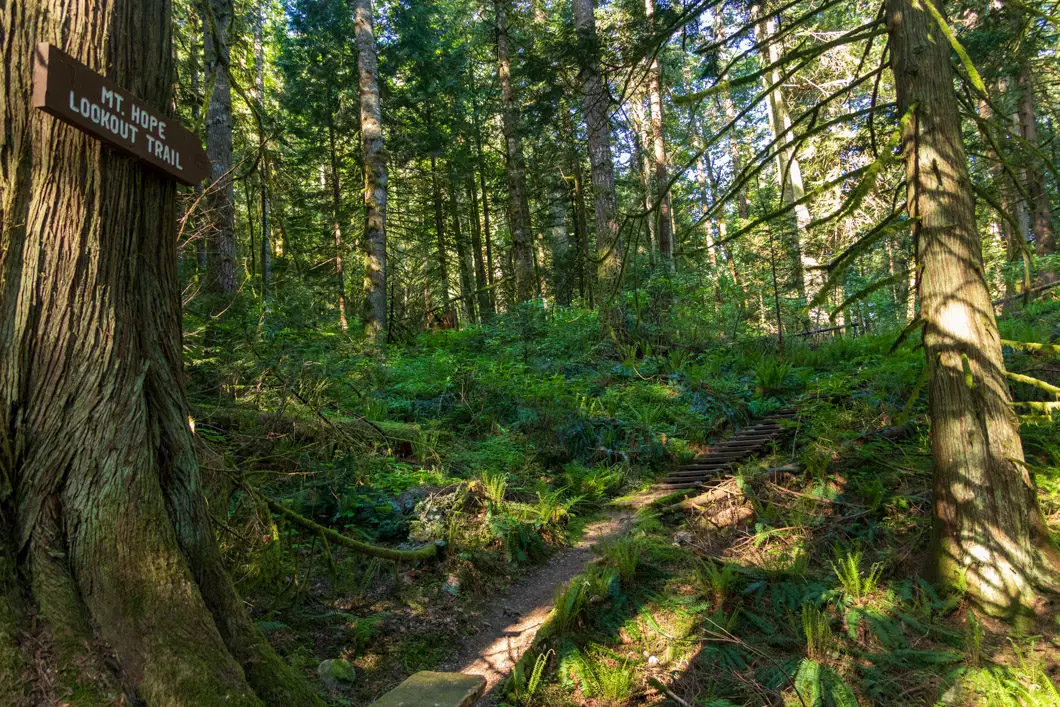
When you turn right at the junction, the trail goes up a short flight of wooden stairs. The trail then flattens out and meanders through the peaceful forest.
At about 1 km or 20 minutes into the hike, you will come to another junction with the Joan Greendrop Trail. Go right at this junction. The trail begins climbing uphill again and briefly becomes rocky.
Keep following the orange markers. You’ll climb another wooden staircase. In one section, you’ll find a chain-rope bolted to the rock to assist your climb. Immediately after the rope, there’s a nice lookout. It takes roughly 30 minutes to reach this point. The view is partially obstructed by trees and a power line, but you can see the town of Hope and mountains behind it.
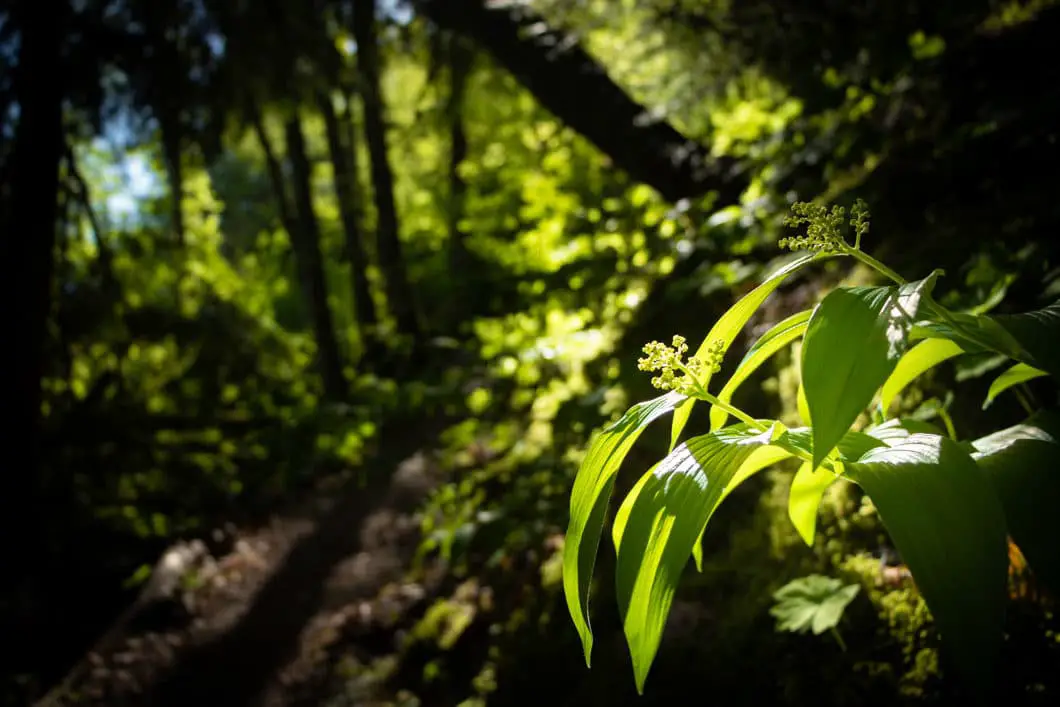
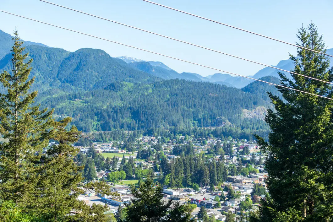
As you carry on and continue climbing, the trail will become steeper. You will have partial views of Hope and the Fraser River through the trees in sections. There will be a few more sets of stairs as you climb.
For the remainder of the hike, the trail will continue to be steep. There are no other junctions or places to get off-track, so simply keep following the trail up and up.
About 2 km into the hike, you’ll come to a little bench and picnic table on the side of the trail. You can sit down and catch your breath if needed. From the bench, it’s about 15 minutes more of climbing before you reach the final lookout.
At the top, you will come out to a huge boulder field. Leave the forest and follow the path the leads out into the middle of the boulders. You’ll find a few benches and an incredible view in front of you.
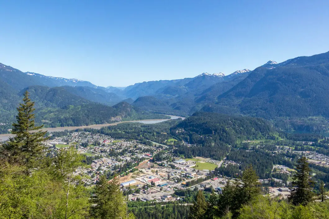
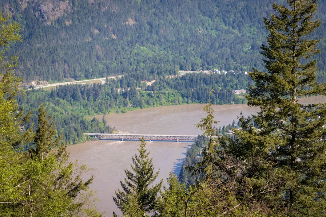
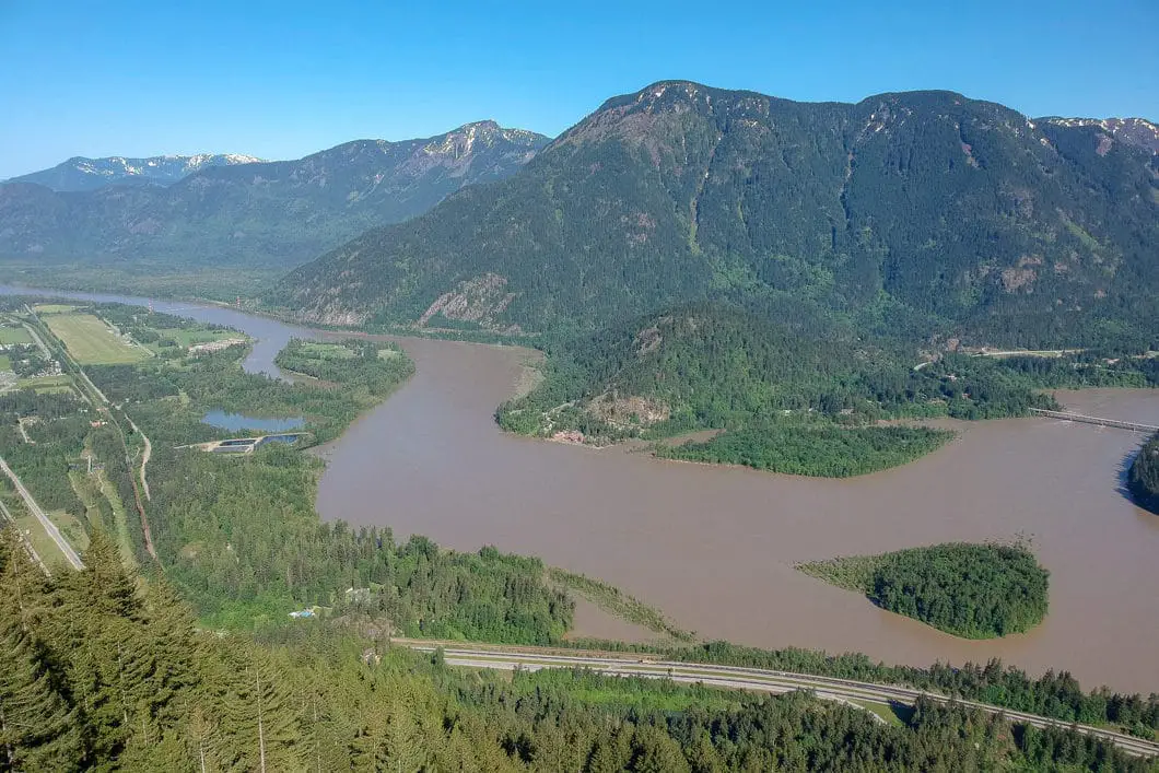
From the Hope Lookout, you can see all of Hope, the Fraser River, Kawkawa Lake, and about a dozen mountain peaks. There is a sign placed here which identifies all the peaks ahead of you. Most prominently, Dog Mountain is seen to your left and Olgilvie Peak is seen to your right, above Kawkawa Lake. Greenwood Island sits in the middle of the Fraser River, just below the Fraser Bridge.
Enjoy the view and return to your car by retracing your steps when ready.
On the way back down, you can take the Joan Greendrop Loop if you wish to add a bit of variety to your hike. It will add a few minutes to the hike.
Download the PDF version of this guide for offline use
Directions and Parking
Take Trans-Canada Hwy/BC-1 E towards Hope. Take exit 170 from the highway.
As you enter the town of Hope, you will take a right onto the Old Hope Princeton Highway, underneath the Crownest Highway overpass.
Immediately after you turn onto Old Hope-Princeton Way, you will make a right back underneath the overpass, and into a small parking area. It can be easy to miss. If you start to see Shell gas station, Tim Horton’s, etc, you have gone too far and need to turn around.
Once parked, you will find an information board with a trail map.
Google Map directions are here.
Other great hikes in this area
- Flood Falls (easy)
- Othello Tunnels (easy)
- Elk Mountain (easy)
- View all hiking guides here


