Iceberg Lake Hike – Table of Contents
- Hike Introduction
- Hike Statistics
- Iceberg Lake Video
- Map and Elevation
- Hiking Route Description
- Directions and Parking
- Free PDF Download
- 360° Photosphere
Iceberg Lake Hike Intro
Iceberg Lake is a popular day-hike in Whistler.
The hike up to Iceberg Lake follows 19 Mile Creek, which originates at Iceberg Lake. The 19 Mile Creek Trail is scenic and climbs through a beautiful forest. Along the way, you get views of Green Lake and pass by several waterfalls before emerging into a beautiful meadow.
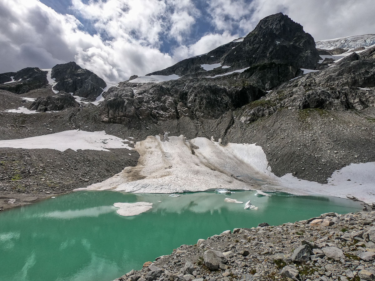
This is all before reaching Iceberg Lake itself. The lake sits below Rainbow Glacier and Rainbow Mountain, and remains partially frozen deep into the summer.
The hike is moderately challenging until you reach the meadow. From the meadow, the final push up to Iceberg Lake is steep and difficult as you climb a boulder field.
There are a few other routes you can take up to Iceberg Lake (Skywalk North and Skywalk South trails). The route described below follows the 19 Mile Creek Trail from the top of Mountain View Drive. This is the most direct route to Iceberg Lake and back, and taking one of the Skywalk Trails is a longer hike.
Iceberg Lake Hike Stats
Rating: Difficult
Distance: 15 km
Net Elevation Change*: 889 m
Highest Point: 1,628 m
Time Needed: 7 Hours
Type: Out-and-back
Season: July – September
Dogs Allowed: No (not permitted in the Rainbow Mountain Alpine Trail Network)
Est. Driving Time from Vancouver: 2 Hours
Trailhead Coordinates: 50.154271, -122.968026
*For a better understanding of the stats and difficulty rating, check out the Hiking Guides page for details. Always carry The Essentials and fill out a trip plan.
Iceberg Lake Video
Here is a 4-minute video of our experience on this hike!
Iceberg Lake Hike Map and Elevation
Iceberg Lake
Profile
Iceberg Lake Hiking Route
From the end of the cul-de-sac on Mountain View Dr. (directions), walk up the steep dirt road for a few minutes before connecting with another dirt road. You’ll see a marker in the tree for ‘19 Mile Creek Trail’. Head left, and the road will continue uphill towards a retaining wall.
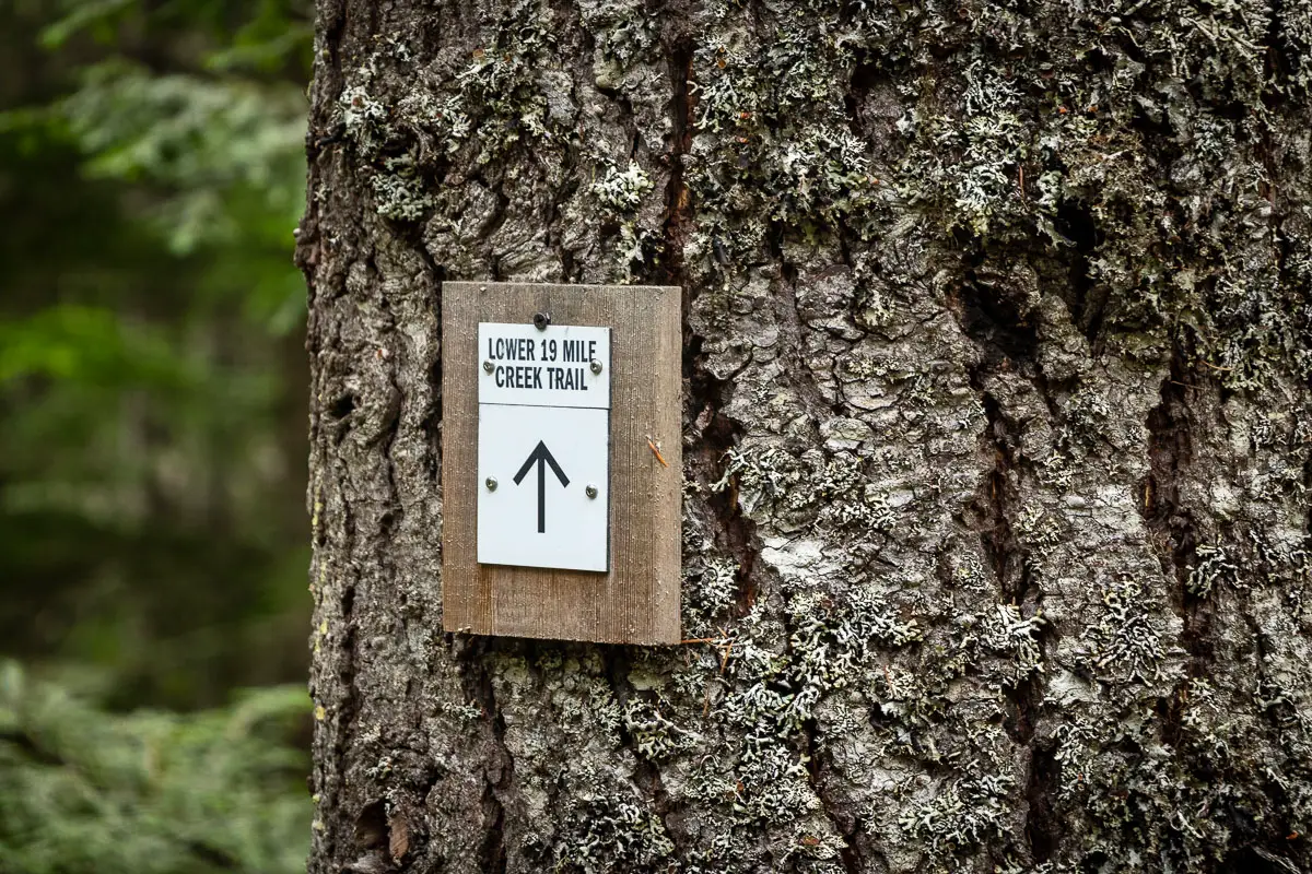
On your right, before reaching the retaining wall, there’ll be a trail marker for ‘Lower 19 Mile Creek Trail’. The trail cuts up into the trees. There are orange trail markers in the trees to mark the route.
The narrow trail climbs up for a few minutes before it intersects another dirt road. The trail picks up immediately across the other side of the road. Where the trail picks up on the other side, there’s a sign that says “Skywalk Trail, Iceberg Lake”.
The path here is a narrow single-track trail. You’ll cross a wooden bridge over a small creek. The trail then starts climbing uphill gradually.
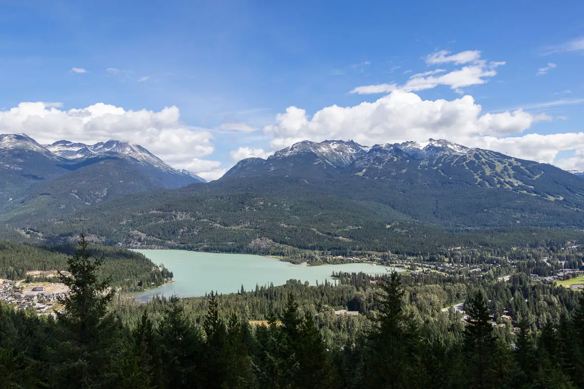
After about 700 m from the start or about 20 minutes, you’ll see Green Lake through the trees on your left. You’ll pass a small junction and a marker on your left where you can get an unobstructed view of Green Lake down below.
A little after a kilometer, or half an hour, you’ll come to a small junction with the Screaming Cat Connector Trail. Stay left, where it’s marked for the “Lower 19 Mile Creek Trail”. There continues to be square, orange markers in the trees.
The trail is narrow but forested and shady. The trail is well-maintained, free of debris, and easy to follow.
After a few minutes more, you’ll come to another junction with another trail. It’s marked with a blue marker and a white marker. Make sure you head right at this junction.
After a few more minutes, you’ll pass over a few makeshift wooden bridges over small streams.
You’ll emerge from the trees, connecting with a flat double-track trail. Go left, to keep following the orange markers. The markers are frequent here.
Traveling down the flat trail, you’ll come to a junction marked for the Upper 19 Mile Creek Trail. You will go to the right here, leaving the flat double-track trail.
The trail will carry on for some time, without too much elevation gain. There are still orange markers in the trees, and the trail remains easy to follow.
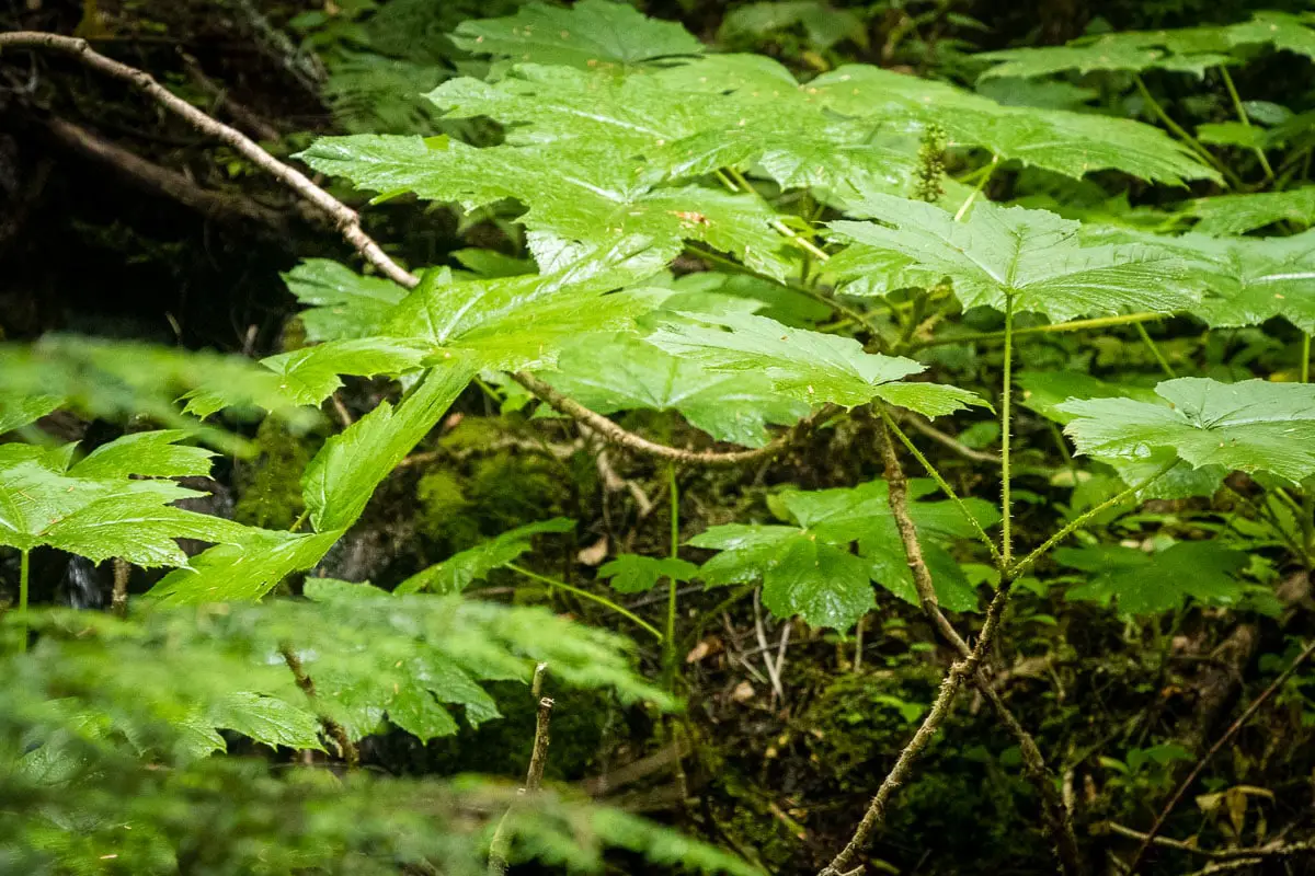
You’ll pass by a small, scenic stream in an open area packed with devil’s club.
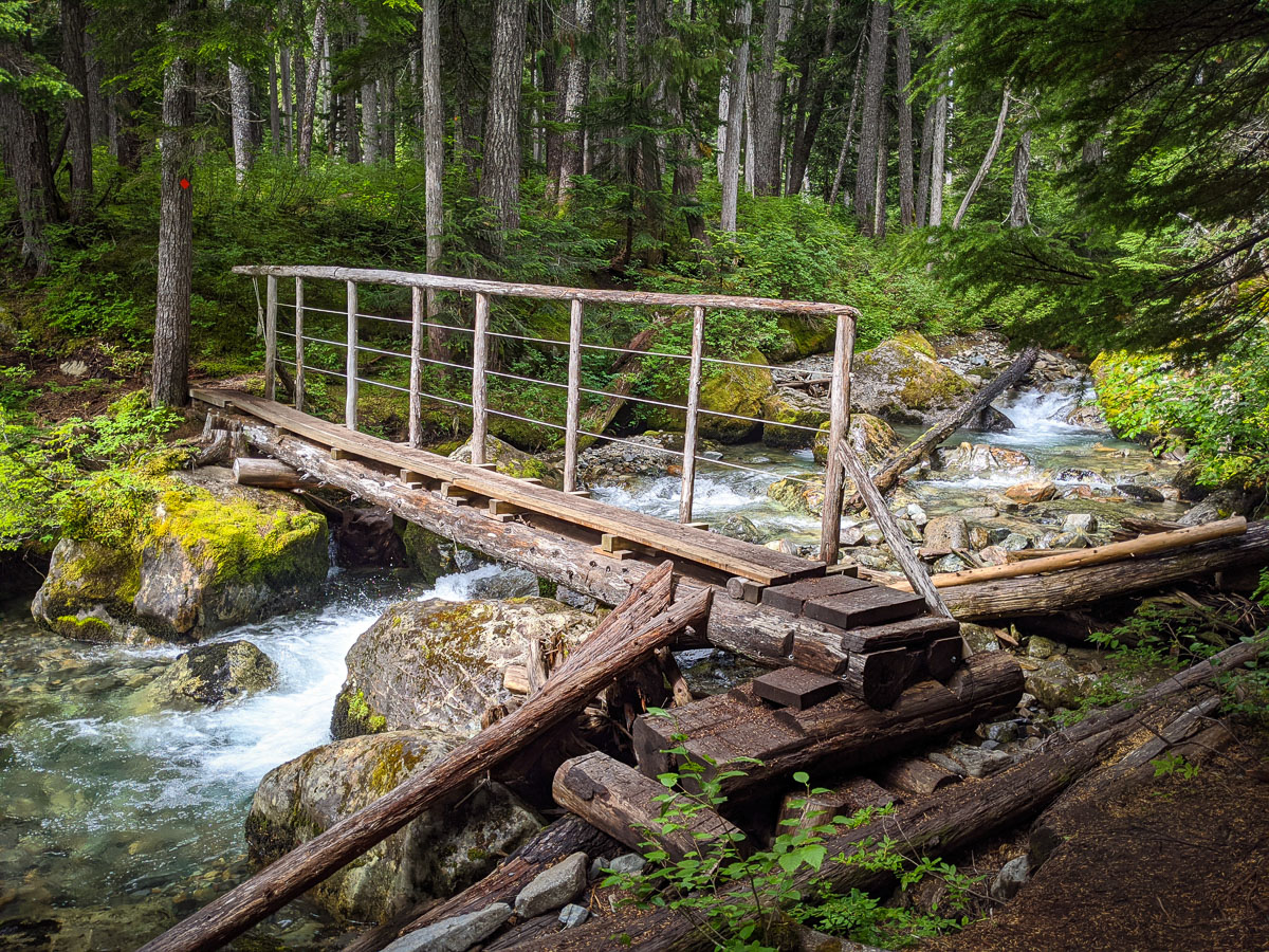
Continuing on, you’ll come to split with Adam’s Home Run Trail and the Skywalk Trail. Go left, onto the trail marked Skywalk Trail. Just after you go left, you’ll come to a wooden bridge crossing over 19 Mile Creek.
As you walk along the trail, the creek will now be on your right.
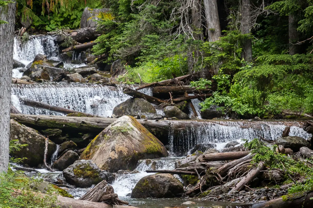
Roughly 4.5 km into the hike, you’ll pass by a small cascading waterfall along the creek. There’s a side trail where you’ll get a clear viewpoint of it. Enjoy the small waterfall, and then keep carrying along the trail.
After another 1 km or so, the trail gets steeper. It also starts switch-backing as you near the meadow.
As you’re climbing up, you’ll hear rushing water off to your right. If you pay attention, you’ll see a small trail that takes you to a lookout right at the base of a large waterfall. There’s a bench there, and it is worth checking out.
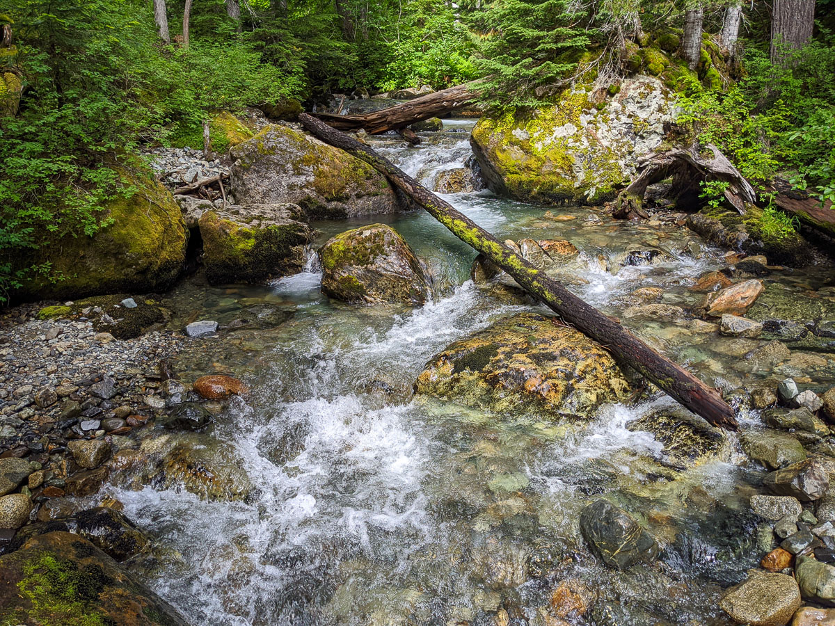
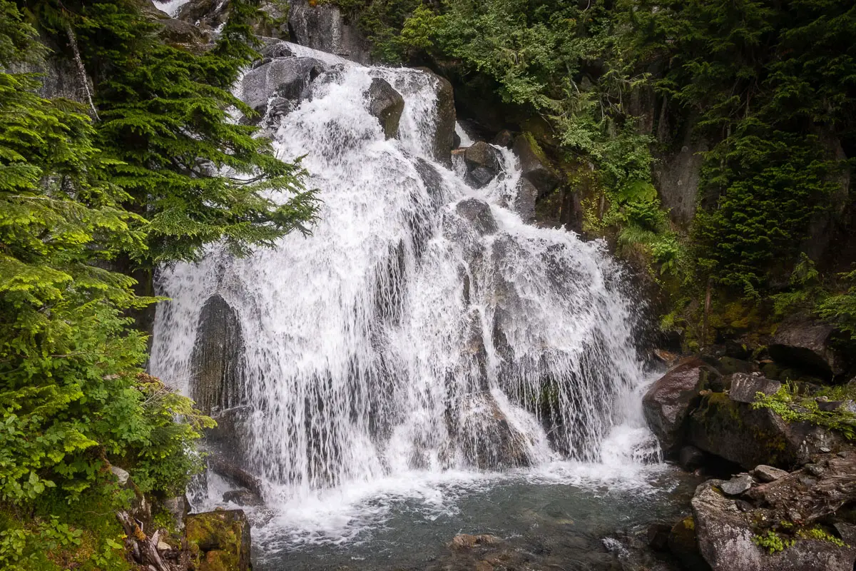
Just a little further up the trail, there’s another viewpoint of the upper falls. You can see a small pool of water at the top of the falls. From there, carry along the trail as it keeps climbing up.
Soon after the waterfall, you’ll start to emerge into the meadow. You’ll get a view of Rainbow Mountain ahead of you, which has a summit of 2,314 m.
In the meadow, you’ll come to an outhouse near a junction marked for Skywalk South and Skywalk North. Stay straight on the trail for Skywalk North. There is roughly one more kilometer to reach Iceberg Lake from here.
You’ll follow the trail into the open meadow as it approaches Rainbow Mountain.
The views here are spectacular in all directions. Behind you, you will have views of Wedge Mountain and Blackcomb. In the late summer, the wildflowers will be in bloom in the meadow.
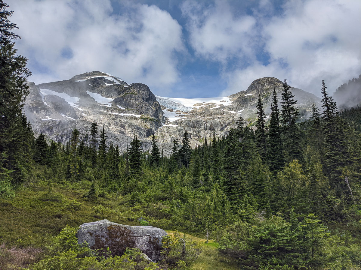
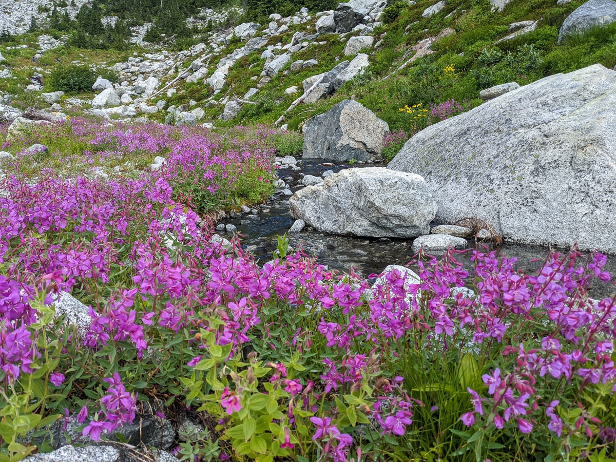
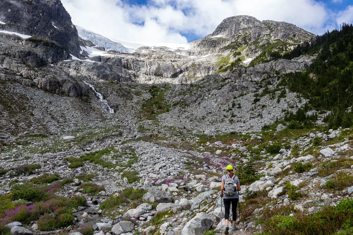
The trail will lead you to the base of a boulder field. This final stretch of trail is the most difficult of the hike. Take your time climbing up the loose rocks. The trail is steep, but you can rest and enjoy the views behind you as you climb up.
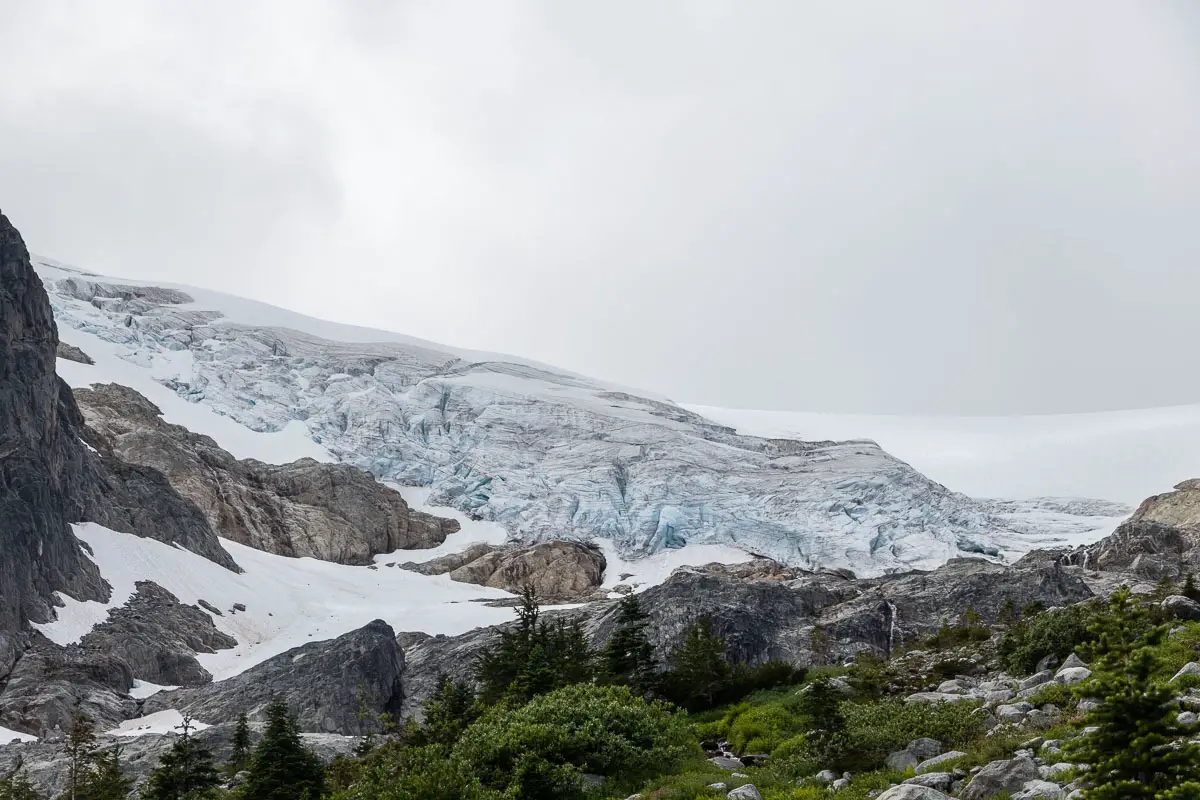
You’ll climb up one final section of scree before reaching the crest of the hill. Once you emerge at the top, you’ll have a view of the Rainbow Glacier high up on Rainbow Mountain. Iceberg Lake will be directly ahead of you.
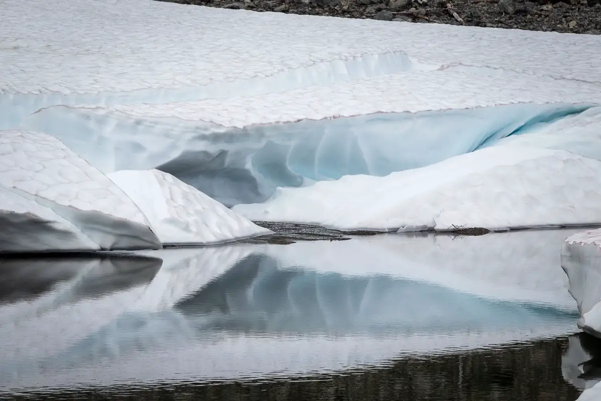
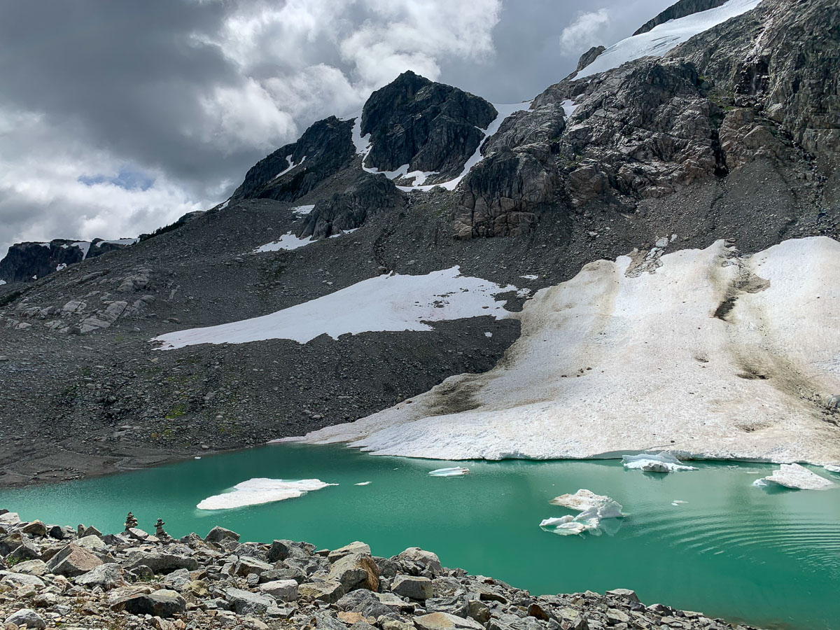
Iceberg Lake is a beautiful turquoise color and is lined with ice around the perimeter.
The brave can take a dip in the freezing waters. Otherwise, enjoy the views and explore the area around the lake, before retracing your steps back to the trailhead.
Download the PDF version of this guide for offline use
Directions and Parking
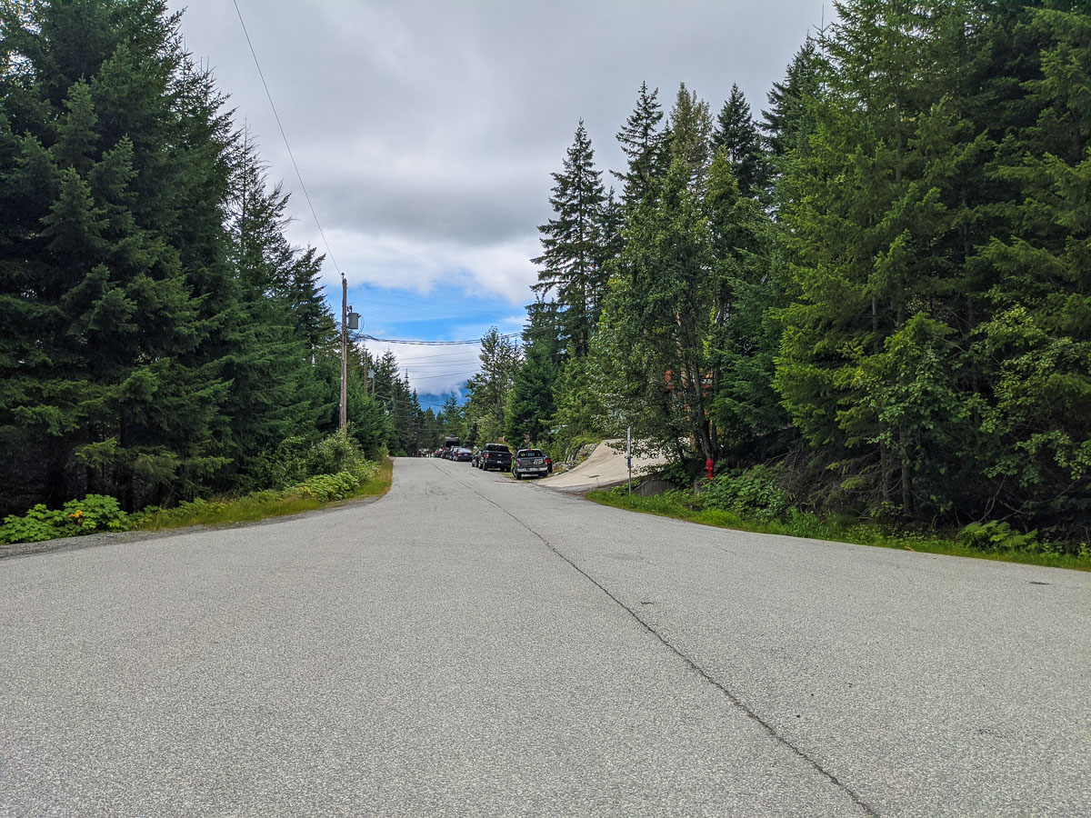
From Vancouver, take the Sea to Sky Highway north to Whistler. Stay on the highway, passing by the Whistler Village.
When Wedge Park / Green Lake is on your right, turn left onto Meadow Lane. Immediately, turn left onto Parkwood Drive. Turn left again onto Mountain View Drive.
Follow Mountain View Drive to the top of the cul-de-sac. Park along the side of the road where there is space available, observing the areas where parking is not allowed.
Google Map directions are here.
Other great hikes in this area
- Brandywine Meadows (difficult)
- Rainbow Lake (moderate)
- Rainbow Falls (easy)
- View all hiking guides here


Jason
FYI, I believe it is called “Kevin’s Home Run Trail,” not Adam’s Home Run Trail. A good description of a worthy hike. Hikers should pay very careful attention to parking availability in the cul-de-sac area. Even/odd side of the street restrictions apply and violators WILL BE TOWED.