Jug Island – Table of Contents
- Hike Introduction
- Hike Statistics
- Jug Island Video
- Map and Elevation
- Hiking Route Description
- Directions and Parking
- Free PDF Download
Jug Island Hike Intro
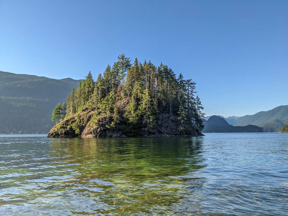
Jug Island Beach Trail sits within Belcarra Regional Park, at the mouth of the Indian Arm. The Jug Island Trail extends out across the Belcarra Peninsula to a small beach, which provides an up close and personal view of the nearby Jug Island.
It is an easier hike, through thick forest of cedar, hemlock and fir, up the spine of the peninsula, with Belcarra and Bedwell bays on either side of the trail.
As there is minimal elevation change along the Jug Island Trail, it’s a great hike for dogs and children. In the summer months, it makes the perfect place to go for a dip for those wanting to avoid the crowded beaches of the city. However, don’t expect a smooth sandy beach, or much direct sunlight exposure given the tall blanket of trees directly south of the beach.
Jug Island Hike Stats
Rating: Moderate
Distance: 5.5 km
Net Elevation Change*: 85 m
Highest Point: 95 m
Time Needed: 2 hours
Type: Out-and-back
Season: Year-round
Dogs Allowed: Yes, on leash
Est. Driving Time from Vancouver: 1 hour
Trailhead Coordinates: 49.312258, -122.924904
*For a better understanding of the stats and difficulty rating, check out the Hiking Guides page for details. Always carry The Essentials and fill out a trip plan.
Jug Island Video
Here is a 2-minute video of our experience on this hike!
Jug Island Hike Map and Elevation
Jug Island Beach
Profile
Jug Island Hiking Route
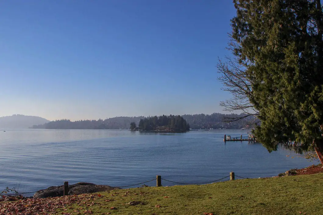
The Jug Island Beach Trail starts at the Belcarra Park picnic area. Before beginning the hike, you can take a quick walk down to the dock to have a look over Belcarra Bay. You can see Burnaby to the south, and North Vancouver to the west, across the Indian Arm.
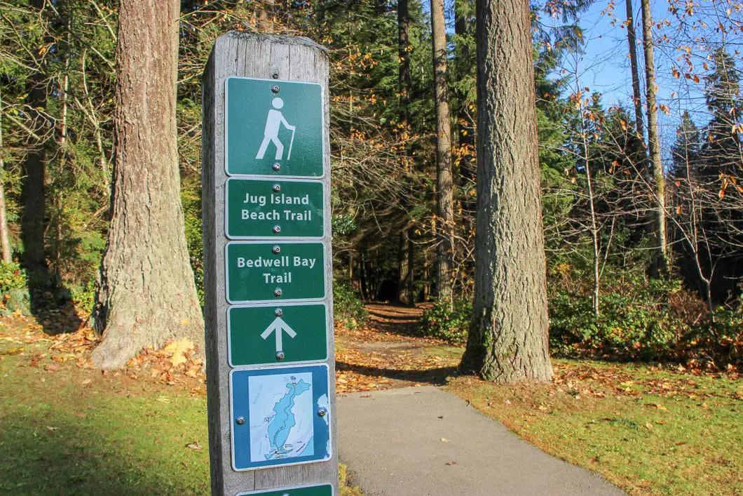
To start the hike, walk to past the picnic hut just in front of the parking lot and you will see a trail marker. The trail here is a wide, gravel path. Walk for a minute or two and you will come to Bedwell Bay Road. Go across the road and there will be a junction with the Bedwell Bay Trail.
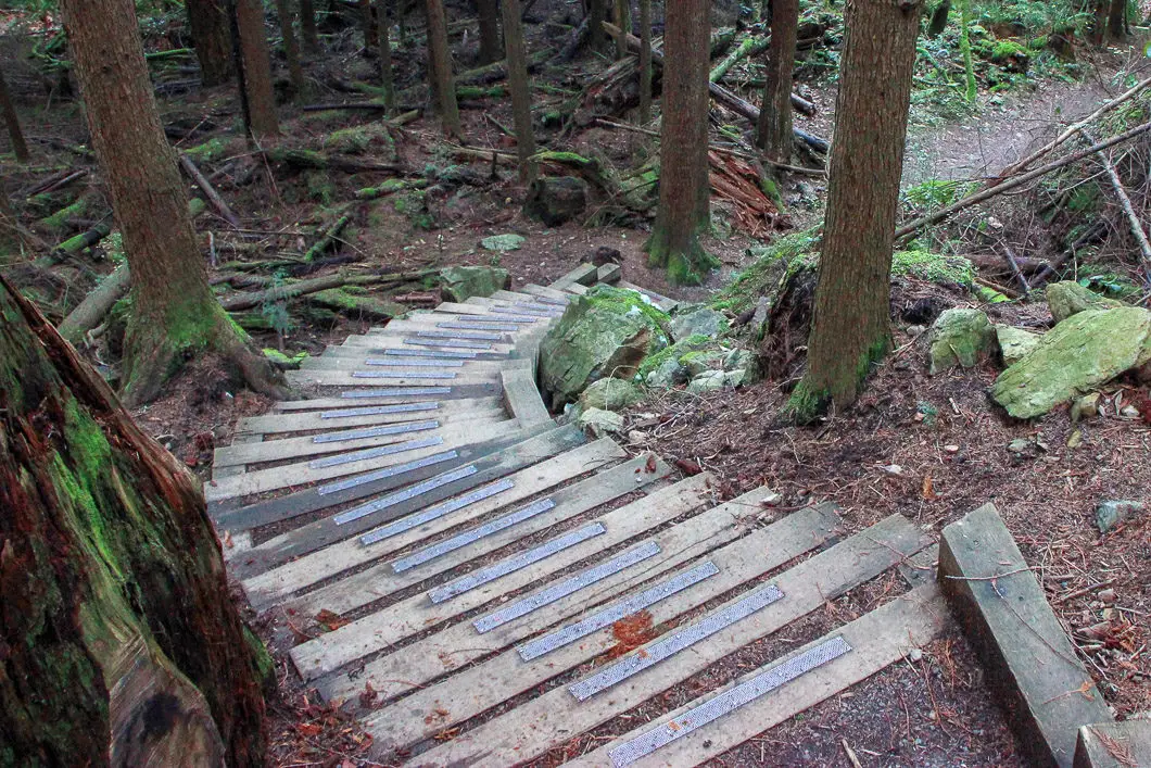
Go left, in the direction marked for Jug Island. The trail to the right is a short hike to Bedwell Bay. The trail climbs gradually, but remains wide and well-maintained. The trail here is actually the remnants of an old road, which is now being reclaimed by nature. After 30 minutes the trail becomes a little bit more rooty and rocky, but not too much. There are a couple sets of stairs to descend and ascend along the trail.
About 1.7 km into the hike, a view of Bedwell Bay opens up on your right. Soon after the viewpoint, you will reach a trail marker which states 2 kilometers to Jug Island Beach. This is slightly confusing, as it doesn’t indicate it is actually 2 km return to this point, and only 1 km to reach the Jug Island Beach.
Cool fact: “At one time Jug Island had stone formations that resembled a jug handle, hence the name “Jug” Island. This arch fell off some time ago” [source]
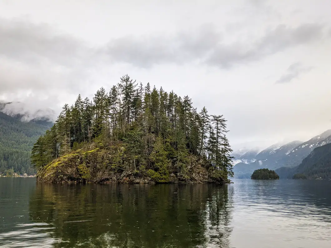
Continue following the trail the remaining kilometer. The trail drops down sharply as you approach the beach. There is a pit toilet on your left just before you emerge onto Jug Island Beach. The beach offers a view of Jug Island directly in front of you, and a nice glimpse up into the Indian Arm. To your left, you can pick out Quarry Rock perched above Deep Cove. To the right, in the distance behind Jug Island, you can spot Racoon and Twin Islands.
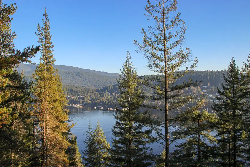
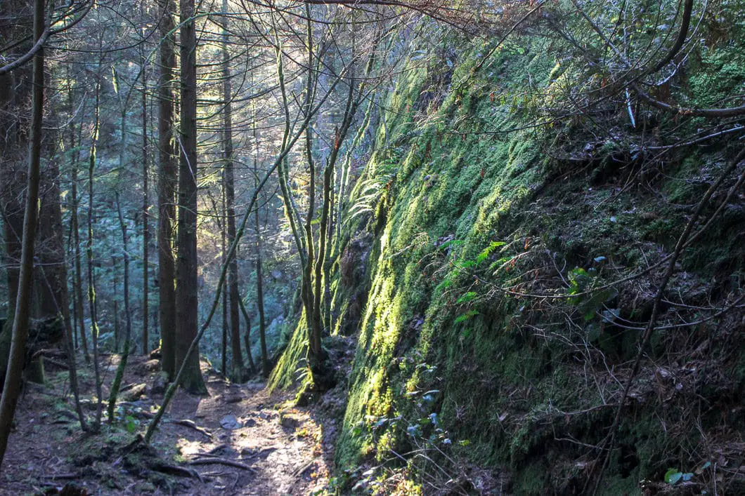
Once you’ve reached the beach you can sit on a log, eat a sandwich and watch the kayakers and sailboats out in the arm. You can also swim or comb the beach in either direction a short way, looking for small crabs and sea stars. Seals will often play in the water here too.
Once you’re ready to head back, simply retrace your steps.
Back at the parking lot, you can make use of the communal barbecue pits, so it might be worth leaving a cooler with some food in your car for a nice meal at the end.
If you want to do more hiking, Admiralty Point is another great hike starting from the Belcarra Park parking lot of similar difficulty.
Download the PDF version of this guide for offline use
Directions and Parking
From the Barnet Hwy/ St. Johns Street in Port Moody, take Ioco Road north. Follow Ioco to the left at the intersection with Heritage Mountain Boulevard. Ioco Road will climb up alongside Rocky Point. In about 4 km turn right onto 1st Ave. Follow 1st Ave left at the first junction, as it turns into Bedwell Bay Road.
Follow Bedwell Bay Road and then turn left onto Tum Tumay Whueton Dr.. Follow Tum Tumay Whueton Dr. all the way to the parking lot at the shore. There will be signs for Belcarra Regional Park along the final stretch of the drive.
Google Map directions are here.
Pay attention to the park hours. In the winter months the gates close early!
Other great hikes in this Area
- Sendero Diez Vistas (moderate)
- Sugar Mountain (moderate)
- Admiralty Point (easy)
- Belcarra Bluffs (moderate)
- View all hiking guides here


kerry thompson
cross this area off your list the residents have pressured council to make all areas other than the small metro pay lot available fines range fro 100-240 dollars and 25 and an additional 25 if you loose your dispute. Visitors are not welcome here