Kentucky Lake – Table of Contents
- Hike Introduction
- Hike Statistics
- Kentucky Lake Video
- Map and Elevation
- Hiking Route Description
- Camping at Kentucky Lake
- Directions and Parking
- Free PDF Download
- 360° Photosphere
Kentucky Lake Hike Intro
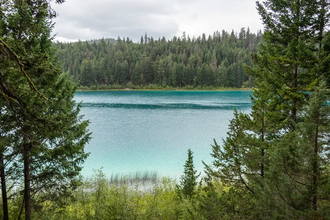
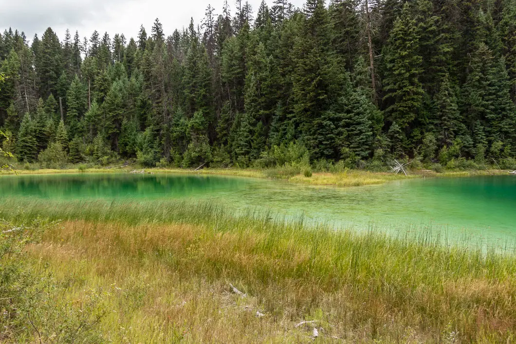
Kentucky Lake, in Kentucky-Alleyne Provincial Park, is a beautiful lake with a surreal turquoise color. It is popular for hiking, camping, fishing, and paddling.
A 4 km hiking trail navigates the outer perimeter of Kentucky Lake, and it takes about 1 to 1.5 hours to complete.
The trail has minimal elevation gain and provides different vantage points of the beautiful lake as you walk around it. The hike around Kentucky Lake is kid-friendly and is a great hike for families.
The Kentucky-Alleyne is surrounded by historic Douglas Lake Ranch, which is the largest-working cattle ranch in Canada and has been operating since the 1880s.
Just a short drive off Highway 97C (Okanagan Connector), this is also a great place to stretch your legs on a drive to or from nearby Merritt.
The lake is often quite cold, and much of the lakeshore is a natural marsh, but you can certainly find a few spots to jump in and cool off if you want to swim.
Another draw, Kentucky-Alleyne Provincial Park has 58 campsites (details on camping at the bottom of this post).
Kentucky Lake Hike Stats
Rating: Easy
Distance: 4.3 km
Net Elevation Change*: Minimal
Highest Point: 1,014 m
Time Needed: 1.5 Hours
Type: Loop
Season: May – October
Dogs Allowed: Yes, on-leash
Est. Driving Time from Vancouver: 3.5 Hours
Trailhead Coordinates: 49.90557, -120.56605
*For a better understanding of the stats and difficulty rating, check out the Hiking Guides page for details. Always carry The Essentials and fill out a trip plan.
Kentucky Lake Video
Here is a 1-minute video of our experience on this hike!
Kentucky Lake Hike Map and Elevation
Kentucky Lake Trail
Profile
Kentucky Lake Hiking Route
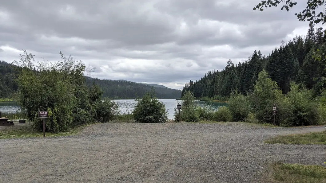
Starting by the day-use parking area at the edge of the lake, follow the gravel road to the boat launch area. Going this way will take us around Kentucky Lake in a counter-clockwise fashion.
The flat, gravel road leads you to a boat launch area (powerboats are not permitted) and a clearing at the edge of the lake. There’s a view of much of the lake from this clearing looking south.
Off to your right, at the end of the gravel road, you’ll see a trail that goes into the trees. This is the beginning of the single track trail that carries around the entire perimeter of Kentucky Lake.
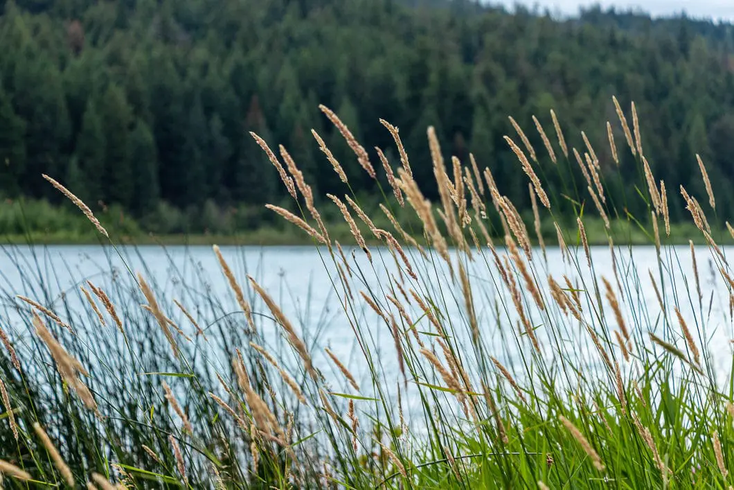
Get on the trail and start following it. The trail is well maintained and easy to follow, with few big roots or rocks to trip you up. The trail meanders around the edge of the lake through Douglas fir and Ponderosa pine trees.
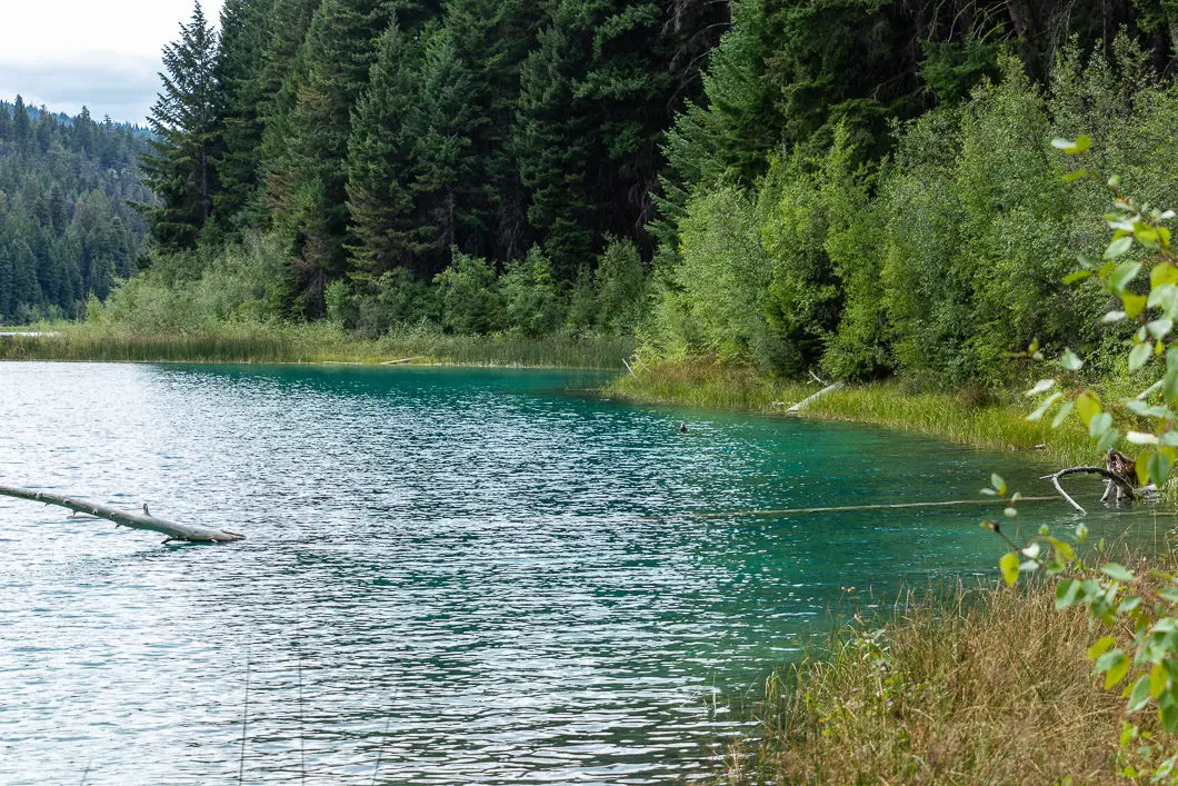
After about 800 meters, the trail climbs slightly and you will come to a lookout from a small rocky bluff. From this overlook, you have a great view of most of the lake and can really appreciate the incredible color of the turquoise water.
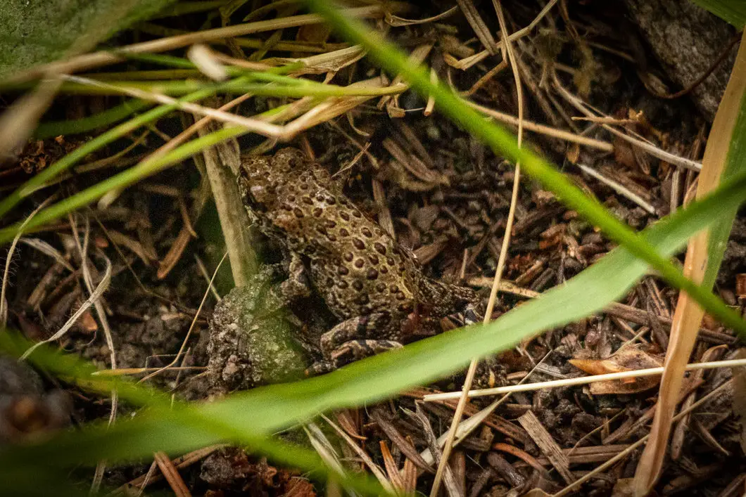
You may see people fishing in the lake, which is stocked annually with Rainbow trout. You may also see tadpoles or small frogs around the edge of the lake if you look closely.
Once you’ve enjoyed the view, continue along the trail.
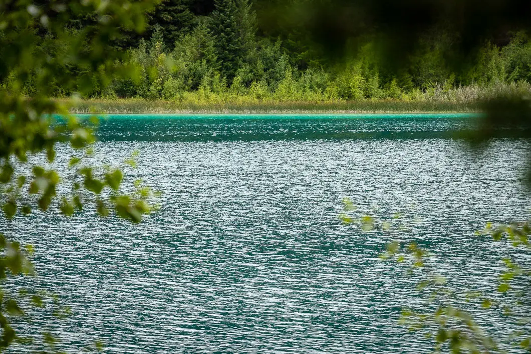
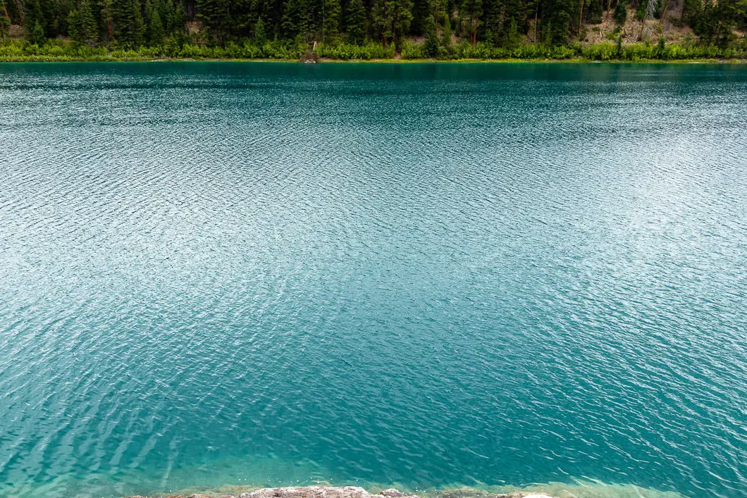
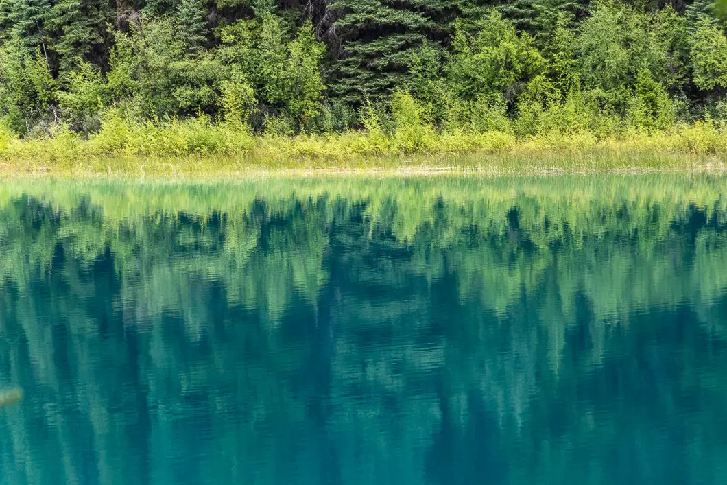
At about 1.3 kilometers, you will come to a point where the lake narrows and becomes shallow. It looks like it would be possible to walk across to the other side. Keep following the trail.
At around two kilometers you will come to the end of the lake. The end of the lake is a scenic, shallow area of water with a dog-leg shape.
Cool fact: “The park is nearly surrounded by the 115-year-old+ Douglas Lake Ranch, Canada’s largest cattle ranch.” [Source]
Follow the trail as it loops around the end of the lake. Enjoy the view from the edge of the lake, then carry along, now on the east side of the lake.
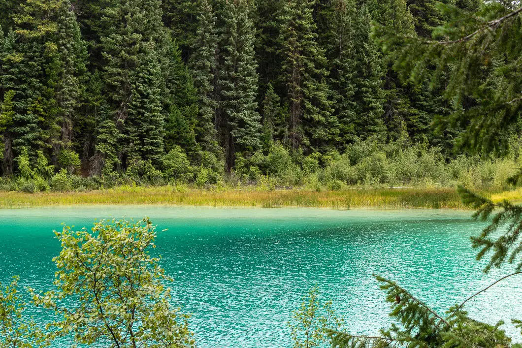
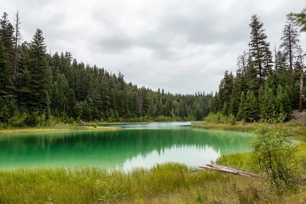
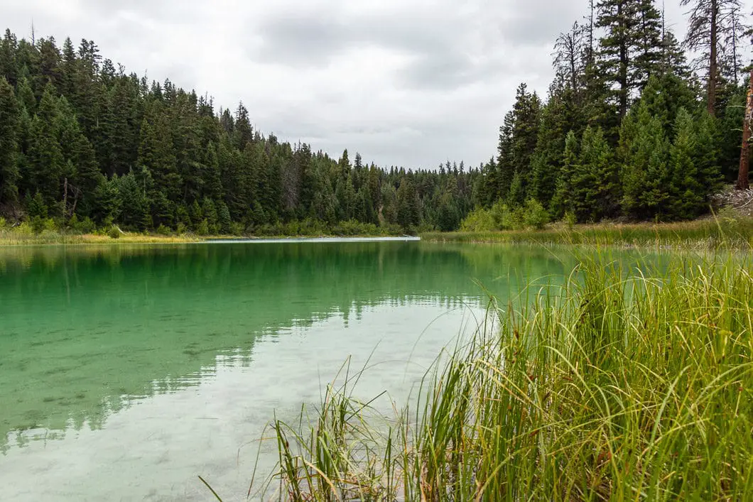
When you are roughly halfway back on the other side of Kentucky Lake, there’s a split in the trail. You can take either trail as they quickly rejoin. The upper trail gives you an elevated vantage point of the lake through the trees.
As you get roughly to the four kilometers mark, the trail climbs uphill once more, and you will get to one final viewpoint looking down on the lake.
From there, the trail drops back down and carries back to the camping area.
There are picnic tables if you wish to enjoy a meal before leaving the park.
Camping at Kentucky Lake
The main camping season in Kentucky-Alleyne Park is May 10 – Sep 30. There are 58 vehicle camping accessible sites, 5 double campsites, and 1 group campsite (for groups of 10 or more). 25 of the sites are reservable, and the rest are available on a first-come, first-served basis.
There are pit toilets and water taps available in the campground.
All campsite reservations must be made through Discover Camping.
Download the PDF version of this guide for offline use
Directions and Parking
Follow Trans-Canada Hwy and BC-5 N to BC-5A/BC-97C in Merritt.
At Merritt, take exit 286, following signs for Kelowna. Turn left onto BC-5A/BC-97C (signs for Kelowna). Turn right onto Princeton-Kamloops Hwy/BC-5A (signs for British Columbia 5A S). Turn left onto Bates Road and follow it for several kilometers past a few pot lakes until you reach the park, which will be signed.
Google Map directions are here.
Other great hikes in this area
- Ladner Creek Trestle (moderate)
- Yak Peak (difficult)
- Falls Lake (easy)
- View all hiking guides here


