Lady Falls – Table of Contents
- Hike Introduction
- Hike Statistics
- Lady Falls Video
- Map and Elevation
- Hiking Route Description
- Directions and Parking
- Free PDF Download
- 360° Photosphere
Lady Falls Hike Intro
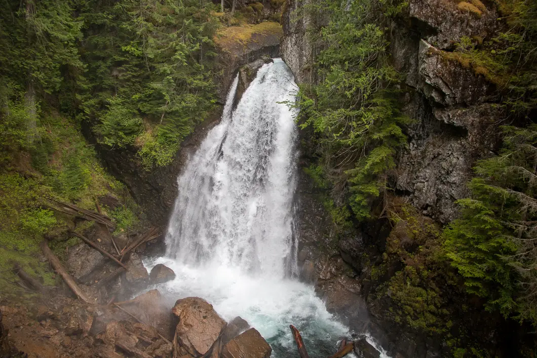
Lady Falls is one of many amazing waterfalls within Strathcona Provincial Park.
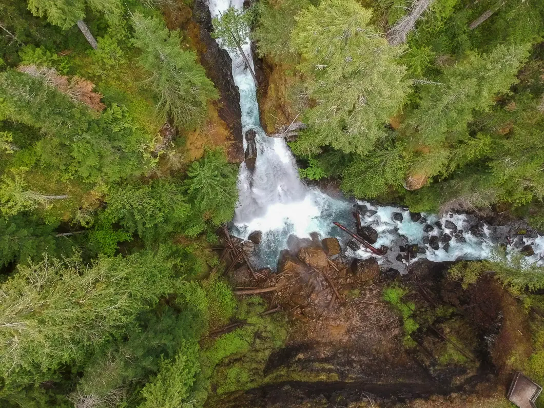
Lady Falls is easily accessible by a parking area off Highway 28 and is an easy hike. A platform overlooking the tremendous waterfall can be reached on a short and well-marked trail within about 10 minutes from the parking area.
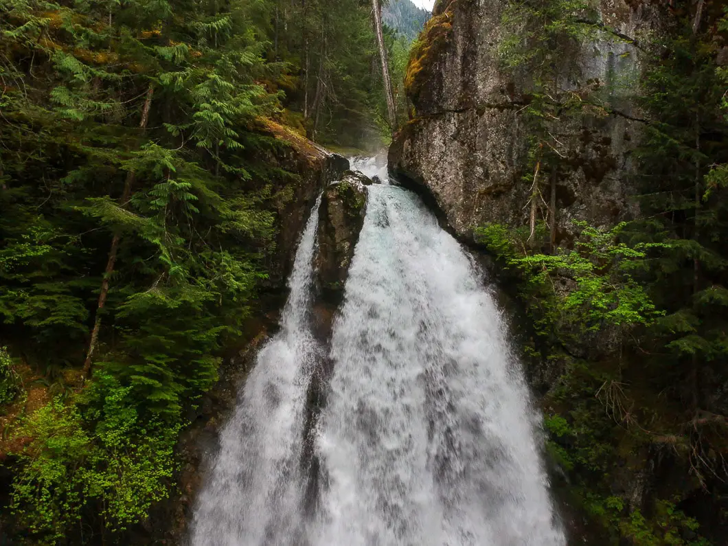
Falling nearly 100 feet along the Cervus Creek into a scenic gorge, Lady Falls is a beautiful waterfall, and is well-worth seeking out.
This hike the perfect outing for families camping at Buttle Lake, or anywhere within Strathcona Provincial Park.
The best time of year to view the falls is during the spring runoff until the start of summer. During this time of year, the cascade of water pouring over the falls can be dramatic!
Lady Falls Hike Stats
Rating: Easy
Distance: 0.9 km
Net Elevation Change*: 30 m
Highest Point: 280 m
Time Needed: 30 Minutes
Type: Out-and-back
Season: Year-round
Dogs Allowed: Yes, on leash
Est. Driving Time from Vancouver: 7 Hours
Trailhead Coordinates: 49.855058, -125.785216
*For a better understanding of the stats and difficulty rating, check out the Hiking Guides page for details. Always carry The Essentials and fill out a trip plan.
Lady Falls Video
Here is a 1-minute video of our experience on this hike!
Hike Map and Elevation (one-way)
Lady Falls
Profile
Hiking Route
At the parking area along the Gold River Highway/ Highway 28, there is an outhouse and picnic area along the river.
From the parking area, follow the trail into the forest. The trail is well-maintained and is free of tree roots and deadfall.
The trail carries up through a forest of Western hemlock and Douglas fir trees.
After about one-hundred meters into the trail, there is a switchback. From here, the trail starts climbing uphill.
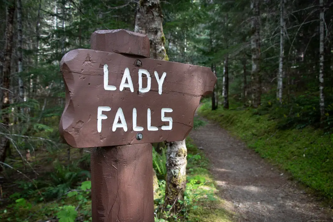
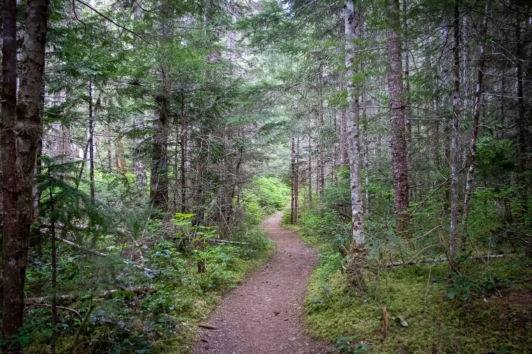
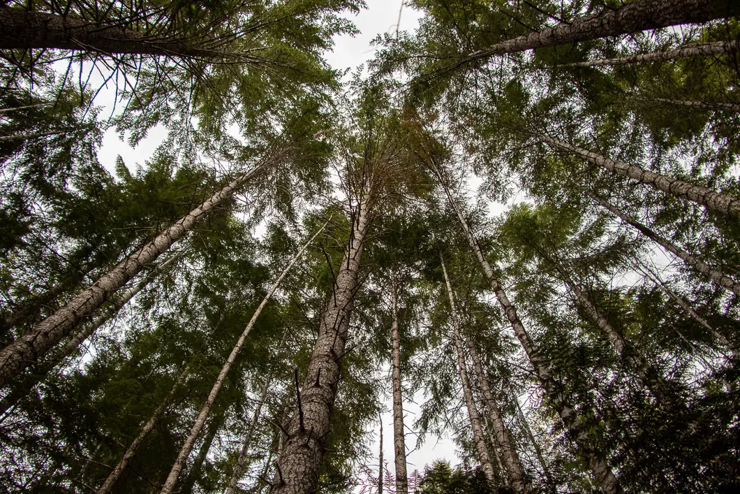
The trail climbs at a gradual rate until reaching the overlook of the waterfall. It is easy to stay on the path, and there aren’t any junctions where you can go astray.
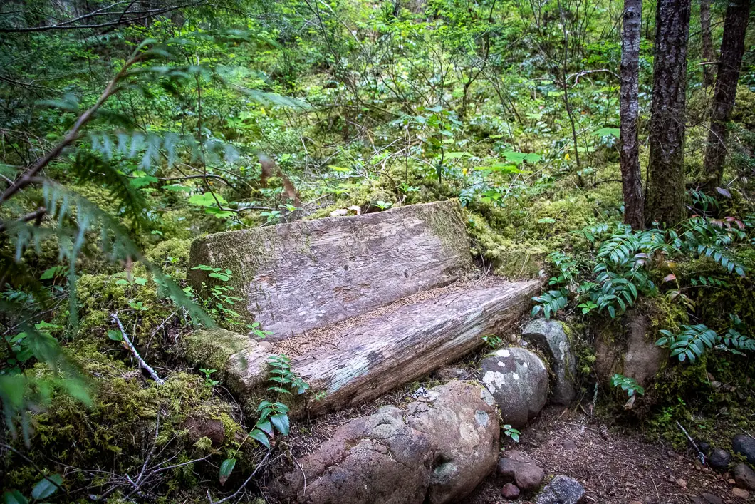
As you climb up the trail. there are a couple of wood logs that have been carved into benches should you decide to take a break.
Within about 10 minutes of beginning the hike, you will emerge onto the wooden platform perched on the edge of the cliff opposite the impressive Lady Falls.
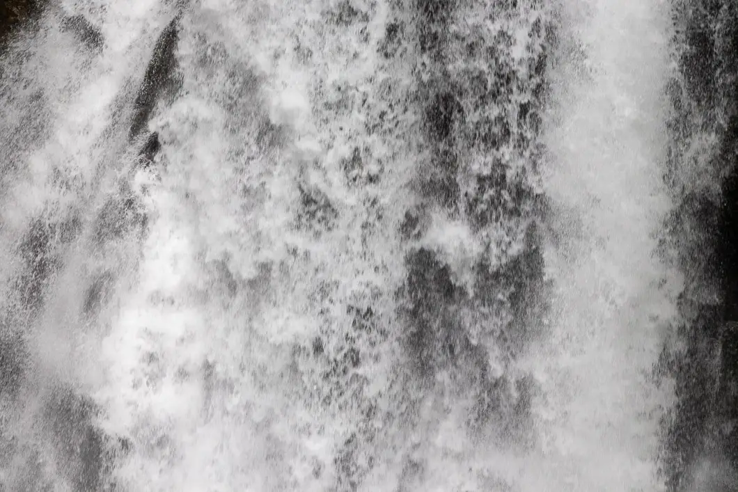
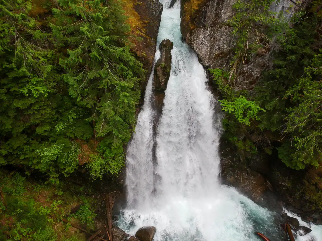
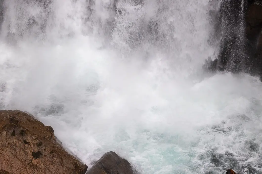
The waterfall plummets nearly 30 meters to the canyon floor below. Depending on the strength of the falls when you visit, you may be able to feel the spray of the falls.
Enjoy the incredible view before heading back out to the parking area.
If you want to check out other waterfalls in the area, Lupin Falls and Myra Falls are well worth the visit.
Download the PDF version of this guide for offline use
Directions and Parking
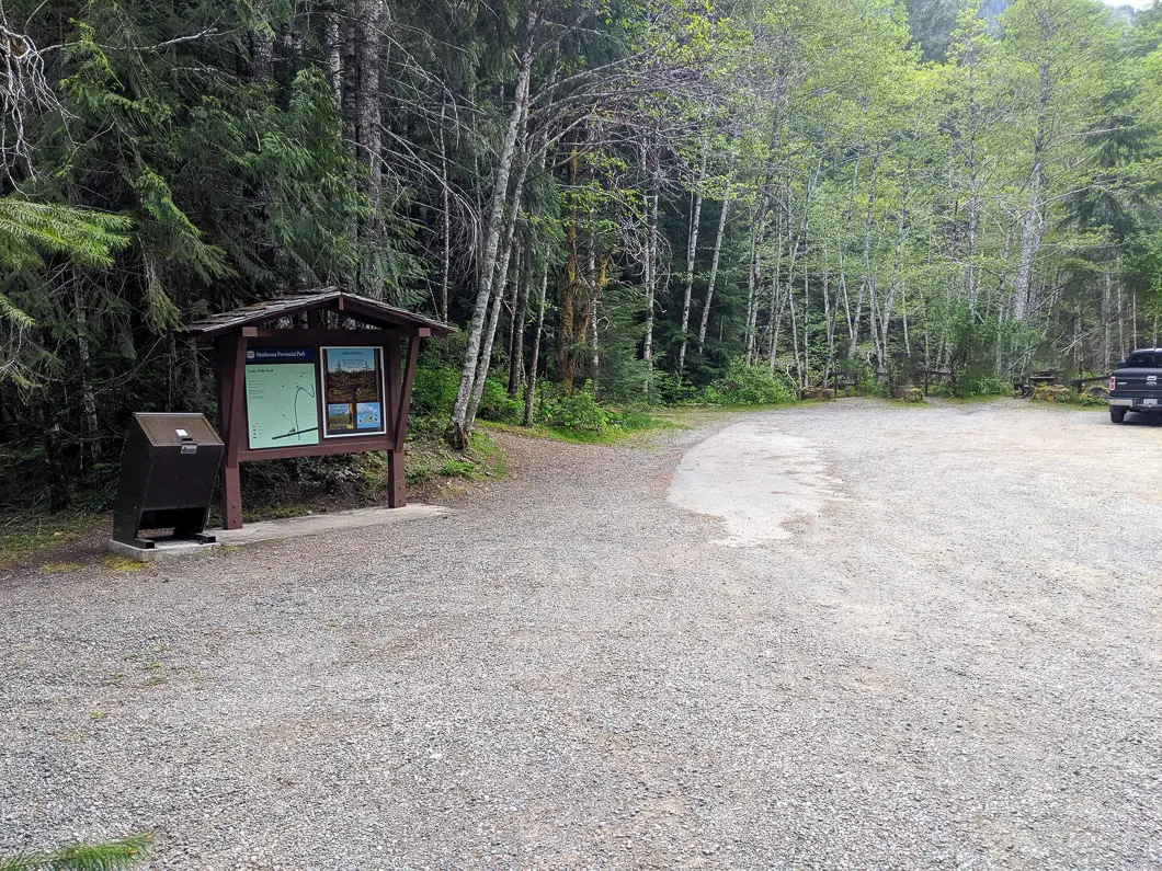
From Campbell River, head west on Highway 28, following the signs for Strathcona Park. Follow the road for nearly 50 km until reaching a junction at the Buttle Narrows. Turn right at the junction, heading over the bridge, to say on Highway 28.
Follow the road with Campbell Lake on your right for another approximately 15 km.
On your left, there will be a pullout to the parking area clearly marked for Lady Falls.
Google Map directions are here.
Other great hikes in this area
- Lower Myra Falls (easy)
- Lupin Falls (easy)
- Upper Myra Falls (moderate)
- View all hiking guides here


