Lahaina Pali Hike – Table of Contents
- Hike Introduction
- Hike Statistics
- Map and Elevation
- Hiking Route Description
- Directions and Parking
- Hike rating
Lahaina Pali Hike Intro
The Lahaina Pali Trail is a 5 mile (8 kilometre) trail in Maui that makes for a great out-and-back hike. The trail was built over 200 years ago as a way for travelers to get between Maalaea and Ukumehame by foot and by horseback. Prior to 1951, there was no Honoapiilani Highway to take.
The trail takes you through the Kaheawa wind farm, which is one of the most prominent landmarks on Maui because the 34 windmills are so large and visible from much of the island.
Starting from the highway, the trail is a zig-zagging 2.5-mile climb up to Kealaloloa Ridge, and a 2.5-mile drop down the other side back down to the highway. From there, you turn around and retrace the journey for a total trip of 10 miles if you want to do the entire trek.
Alternatively, if you have two cars or can arrange for someone to pick you up, you can hike the trail in a single direction.
You can also hike from one of the two trailheads, up to the ridge, then back to your car. The latter two options cut the total distance in half and make for a much more manageable hike since the trail is quite difficult.
In those cases, you can start from the west (Lahaina side) or east (Kihei side) trailheads. The west side is easier, and in the winter months is a great place for whale watching. The east side has more spectacular views of the Central Valley, Haleakala and the coast around Kihei and Maalaea.
Parking is easiest at the trailhead near Maalaea Harbor just off the side of the Honoapiilani Highway (directions at bottom of this post).
A few words of caution:
The Lahaina Pali Trail is well-marked and easy to follow, but it is steep and rocky in some sections. The word ‘pali’, in Hawaiian, means ‘steep cliff’! This makes it a slow-going trail.
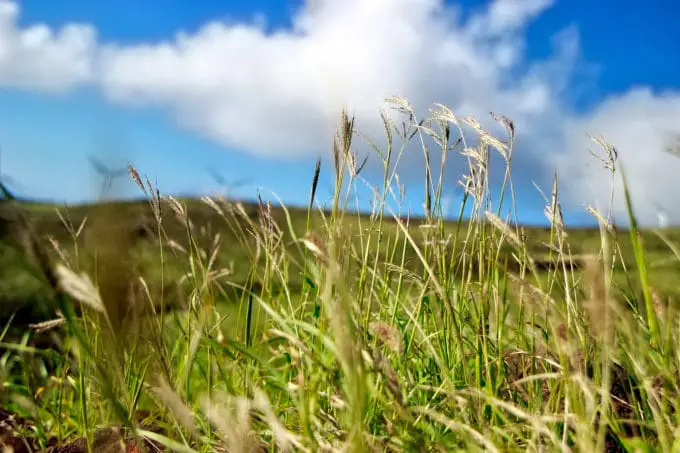
There is also extreme brush fire hazard in this area. The dry brush has been known to ignite and brush fires can flare up very quickly. Do not smoke on this trail.
Obviously, it can get very hot. Bring twice the amount of water you might normally bring, and have proper sun protection. On the flip side, sudden rain can come in from clouds forming over the ridge. Be prepared for heavy rain, even if the weather is clear at the start of your hike.
Lastly, the Lahaina Pali Trail is a historic roadway and as such is protected by Hawaii State Law. Do not disturb the environment or any artifacts.
Lahaina Pali Hike Stats
These stats are for completing the entire trail, in both directions. It is possible to complete the trail in only one direction if you can arrange a second car. It is also possible to hike only to the windmills, and return. This is the most common option, and results in a hike that is about half the distance.
Distance: 16 km
Elevation Gain: 422 m (1,385 ft)
Highest Point: 480 m (1,575 ft)
Trailhead Coordinates: 20.807470, -156.512862
For a better understanding of the stats and difficulty rating, check out the Hiking Guides page for details. Always carry The 10 Essentials and fill out a trip plan.
Lahaina Pali Hike Map and Elevation

Lahaina Pali Hiking Route
This guide starts at the Maalaea Bay trailhead, travelling west.
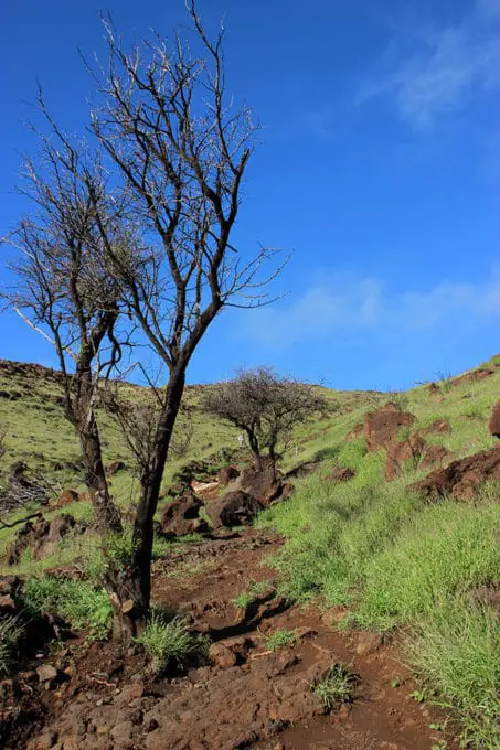
At the start of the Lahaina Pali Trail there is an engraved stone with history about the trail. The trail starts out and almost immediately begins a steady climb uphill. There is no break from the climbing until you reach Kealaloloa Ridge. The trail is scattered with large rocks, making footing difficult in some sections, and slowing down your pace.
There are only a few small trees on the trail that provide any shade so you are exposed to the sun the whole time. Starting at daybreak is a good idea.
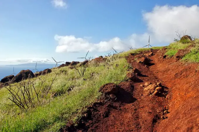
The trail is easy to follow but there are many switch-backs as you zig-zag your way up the ridge. As you continue to ascend you will start to see the tips of the windmills above you. Don’t be deceived, as they seem closer than they really are. There are several smaller ridges you have to work your way over before finally reaching them.
Once you begin to crest Kealaloloa Ridge, you come to Kaheawa wind farm. There is a service road here and you will be directly below the turbines. From here, you get incredible views all around.
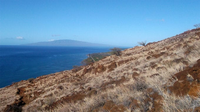
From the ridge, you can view Haleakala and Maalaea Bay to the east, the islands of Molokini and Kaho’olawe to the south, and the West Maui Mountains to the west. On a day of good visibility, the big island of Hawaii is also visible beyond Haleakala.
In the winter, humpback whales may be visible down in Maalaea Bay.

Kealaloloa Ridge is roughly the mid-point of the trail. The ridge is the southern rift zone of the volcano that formed West Maui long ago. This ridge can be, as you might have guessed, quite windy! Maalaea Bay is purportedly one of the windiest bays in the world.
In total there are 34 wind turbines on the ridge, and they have the capacity to power the equivalent of 18,700 Maui homes annually. The turbines are 168 feet tall and have 115-foot blades.
If you’re not returning back to your car from here, then you will continue along the trail, which remains clearly marked and easy to follow. The second half of the trail is a bit rockier but fairly similar to the first half of the trail. The incline is also not as steep, which is nice if you are climbing up from the other direction.
Follow the trail as it winds its way down the ridge, towards Ukumehame. As you approach the bottom section of the trail, keep a keen eye out to the ocean. From December to May, this is a great spot for whale watching.
You will eventually come all the way down the trail and reach a small parking area off the highway, near the tunnel. If you have left a second car here or are getting picked up, congrats on finishing the trail. And if you are hiking all the way back to Maalaea…. Have fun!
Directions and Parking
Parking on the Maalaea side is fairly easy as there is a pullout just off the side of Honoapiilani Highway. Many people park right off the side of the highway. But there is also a closed but unlocked gate you can open and drive through, to reach the actual parking area at the trailhead. If you have a small car the short stretch of road can be a bit rugged.
Parking on the Ukumehame side is just before the Ukumehame Beach State Park off Honoapiilani. The parking area is at Manawaipueo Gulch about 0.25 mile north of the Pali tunnel on the right.
Google Map directions are here.
Outdoor Vancouver and Reader’s Hike Rating
[wp-review]