Lindeman Lake – Table of Contents
- Hike Introduction
- Hike Statistics
- Lindeman Lake Video
- Map and Elevation
- Hiking Route Description
- Directions and Parking
- Free PDF Download
- 360° Photosphere
Lindeman Lake Hike Intro
Lindeman Lake is a popular and scenic hike in Chilliwack Lake Provincial Park. At 3.4 km, it is a short hike, but well-worth the lengthy drive out to the trailhead. While it is a short trail, it’s still a good workout, so don’t be fooled.
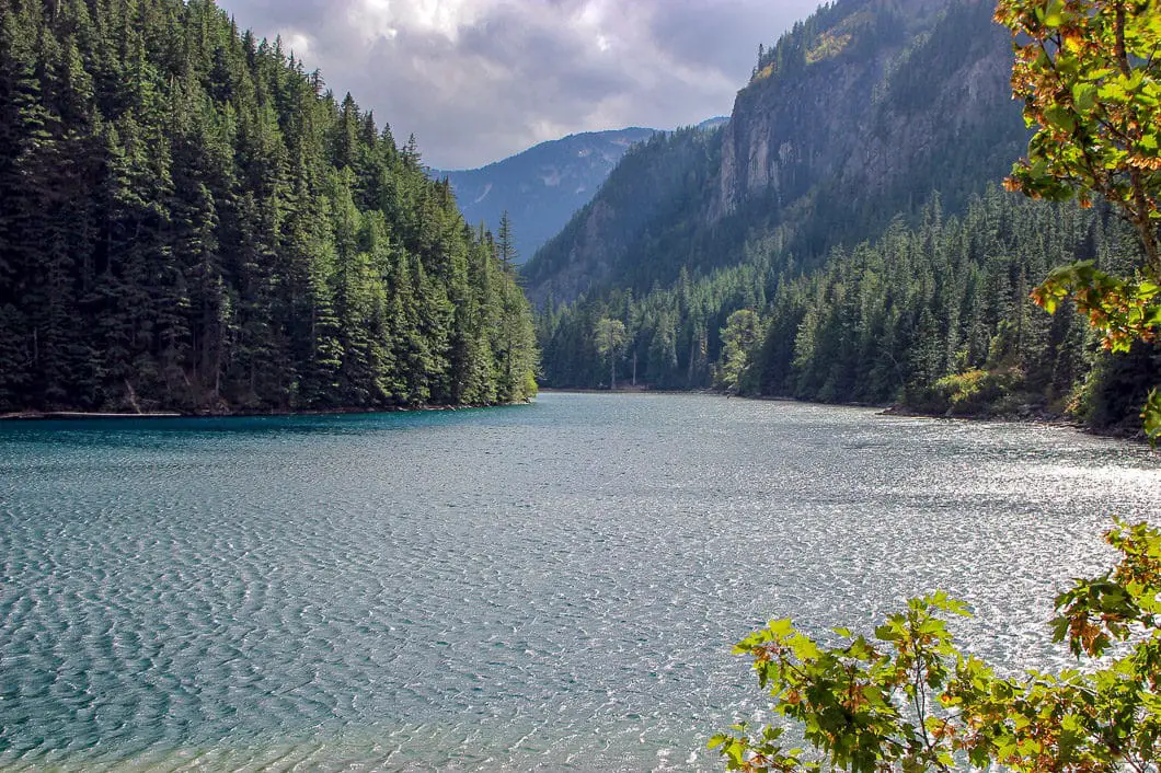
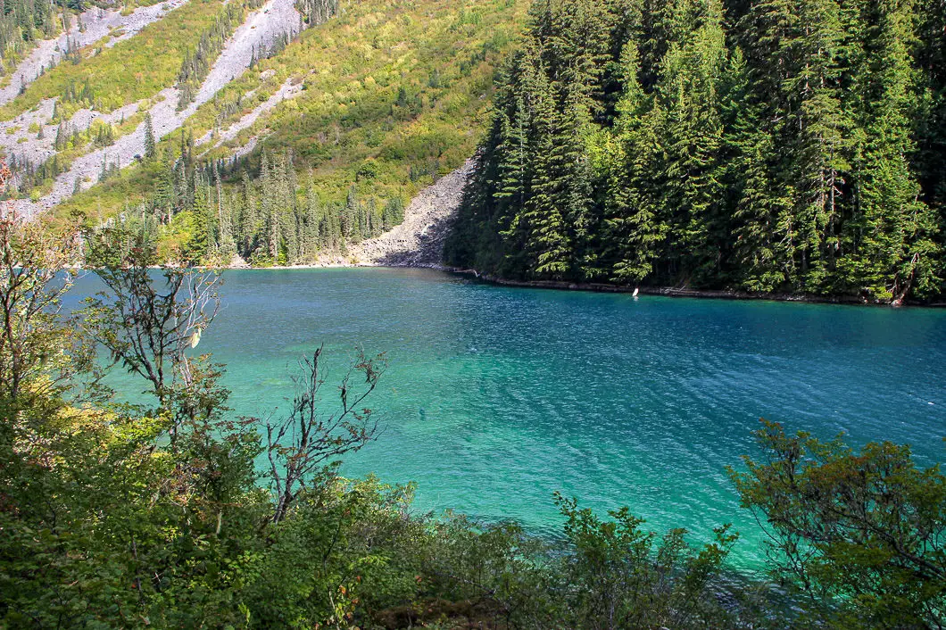
Lindeman Lake itself is a gorgeous, turquoise lake surrounded by dense forest and mountain peaks. The lake looks inviting to swim in on a hot summer day but is, unfortunately, freezing cold year-round. That said, many brave souls will take a plunge into the lake despite the frigid temperature.
Lindeman Lake is a terrific day-hiking location, and it’s also a nice camping spot. There are several tent pads available for those wishing to camp overnight.
Kids and dogs will enjoy this trail, but (as always) keep in mind this is bear and cougar country.
And for those wanting a more rigorous hike, the trail pushes beyond Lindeman Lake to Greendrop Lake, adding 6 km to the hike. Lindeman Lake, Greendrop Lake and nearby Flora Lake can all be completed in a full-day 20 km loop for the adventurous and experienced hiker.
Lindeman Lake Hike Stats
Rating: Moderate
Distance: 3.5 km
Net Elevation Change*: 200 m
Highest Point: 840 m
Time Needed: 2 Hours
Type: Out-and-back
Season: May to October
Dogs Allowed: Yes
Est. Driving Time from Vancouver:2 Hours
Trailhead Coordinates: 49.096865, -121.456256
*For a better understanding of the stats and difficulty rating, check out the Hiking Guides page for details. Always carry The Essentials and fill out a trip plan.
Lindeman Lake Video
Here is a 1.5-minute video of our experience on this hike!
Lindeman Lake Hike Map and Elevation
Lindeman Lake
Profile
Lindeman Lake Hiking Route
From the Post Creek parking lot you will find a Chilliwack Lake Park map and an outhouse. The map outlines the trail to Lindeman Lake and other hikes in the area like Flora Lake.
From the outhouse, follow the wide path down, and you will quickly come to a junction. There is a marker here. Going to the right takes you directly to Flora Lake and is the path you would return on if you decided to do the full 20 km loop from Lindeman Lake. Instead, stay straight on the trail marked for Lindeman Lake.
The trail will drop down and you’ll soon come to Post Creek. Post Creek both feeds and drains from Lindeman Lake. From Post Creek, the path becomes a singletrack trail. Post Creek will remain on your left as you hike up the trail.
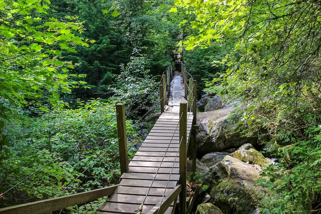
The trail enters the trees and becomes technical, with many large rocks slowing your progress. This part of the trail may prove a little difficult for small children but is manageable at a slow pace. You will soon cross over a log bridge. The trail is mostly flat at first but begins to climb about 600 m into your hike.

About 1 km into the hike the trail becomes even steeper. While steep, the trail remains easy to follow and there are trail markers to guide you. Navigation is straight-forward along the entire route to the lake.
Keep climbing uphill, following the trail. As you begin to approach the lake, there is one particularly steep section. This section is very slippery, even under dry conditions. Take caution on the loose dirt, especially on the way back down and if carrying heavy camping gear.
It’s simply a matter of pushing up the steep climb until you reach the lake. You will pass by several massive granite boulders and as you near the top, the trees will thin out. You may begin to feel a strong wind pushing through the valley off the lake.
Once you reach Lindeman Lake you will find several tent pads available for campers and an outhouse. Camping requires a backcountry camping permit – booked online, in advance. There is an open area along the south shore and plenty of space to enjoy a snack on the edge of the water. The southeast side of the lake is partially filled by scree.
Fishing and swimming are popular activities at Lindeman Lake. Some will attempt a dip in the water, but we warned that the temperature is frigid through the year. There is a population of fish in the lake, including Brook Trout, Cutthroat Trout, and Rainbow Trout. The lake has a deepest point of about 20 meters.
Cool fact: “Lindeman Lake and Lindeman Peak (which lies near the US border and is not visible from here) were named after Chilliwack pioneer Harry Lindeman who reputedly used to carry fish up the trail to stock the lake.” [Source]

If you want to explore more of the lake, the trail continues through the trees along the west side of the lake. As you walk along the trail you’ll get an elevated glimpse of the beautifully-turquoise water through the trees.
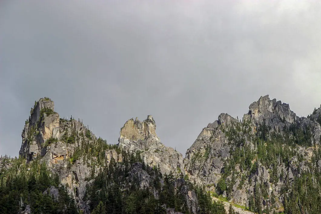
At the north end of the lake, you will find a boulder field and a nice view of ‘The Gargoyles’ looming high above. You’ll get a nice vantage point of the whole lake, and there is a small beach there, too. Beyond the boulder field, the trail picks up again and carries on to Greendrop Lake. Greendrop Lake is not as scenic as Lindeman Lake and is smaller. It does see fewer people, and camping is permitted there, so some choose to carry on.
Pushing on to Greendrop Lake will add an additional 6 km (return) and 360 m elevation to the hike. There are several boulder field crossings along that trail, making it more difficult than the route to Lindeman Lake. From Greendrop Lake you can also carry on further to Flora Lake, completing a long, difficult loop back to the parking lot. Both routes are for experienced hikers and are beyond the scope of this guide.
Once you had your fill of Lindeman Lake, simply retrace your path back to your car.
Download the PDF version of this guide for offline use

Directions and Parking
From Vancouver take Highway 1 East, and take Exit #104 onto No. 3 Road in Abbotsford. Follow the signs for Cultus Lake until you come to a T-intersection with Yarrow Central Road. Take a left on Yarrow Central Road, which will merge into Vedder Mountain Road. Vedder Mountain Road will cross over the Chilliwack River. Just over the river, turn right onto Chilliwack Lake Road. The Post Creek parking lot is about 40 km from Vedder Crossing along Chilliwack Lake road.
The Post Creek parking lot will be on your left as you approach the Chilliwack Lake Provincial Park. There is a gravel parking lot with many spaces. However, in the busy summertime, the parking lot can quickly fill up. If there is no room in the lot, simply park along the side of the road.
Google Map directions are here.
Other great similar hikes
- Mystery Lake (North Van)
- Joffre Lakes (Pemberton)
- Garibaldi Lake (Whistler)
- View all hiking guides here


Ella West
Haha, George is right, but not today :) Hiked on March 17, 2022. Gate to parking lot still locked, parked on the side of the road. Between 08:40 and 12:00, it was just us, birds, a couple of Bambis and 2 other people. If you want peace and beauty, hike this trail outside of peak season. Do your research, prepare accordingly. Snow and patches of ice remain in some areas. Otherwise trail is in really good condition with some broken trees/branches scattered all around, off the trail, between the parking lot and Lindeman Lake. Lake is completely thawed, beautiful as ever. We continued past the south end of the lake, over the boulder field(s), to the northern tip of the lake, hoping to make our way to Greendrop Lake. Past the northern tip of Lindeman Lake we came across a few more boulder fields. These are all covered in snow, still, which is good and bad. Be careful. Approx 3/4 way to Greendrop Lake we found ourselves at a large sheet of ice and decided it was not safe for us to continue on. Gives us an excuse to return.
George
Don’t bother with this hike anymore. It used to be beautiful and peaceful. Now there are 9,000 people on the trail every day.
Tina
we plan to hiking this Lindeman Lake trial at mid -Nov, is this trail open in Nov? and any chance of snow?
Transformer
The log bridge mentioned in this post has been replaced by a steel one. Just visited there on Aug 30, 2019. The bridge marks almost the middle point of the trail to Linderman lake.
Jamie Nails
Wow. Thanks for taking the time to put this together. It’s a great resource. And the trail looks beautiful