Little Qualicum Falls Loop – Table of Contents
- Hike Introduction
- Hike Statistics
- Qualicum Falls Video
- Route Map
- Hiking Route Description
- Camping
- Directions and Parking
- Free PDF Download
Little Qualicum Falls Hike Intro
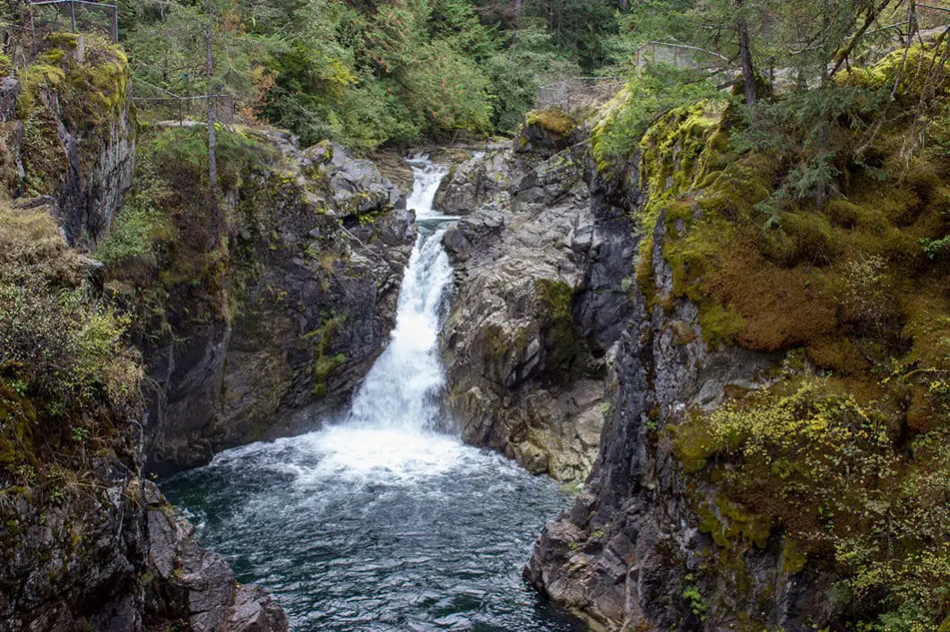
Little Qualicum Falls is a gorgeous waterfall located on central Vancouver Island. The falls sit within Little Qualicum Falls Provincial Park, which was established in 1940 to protect the old growth forest.
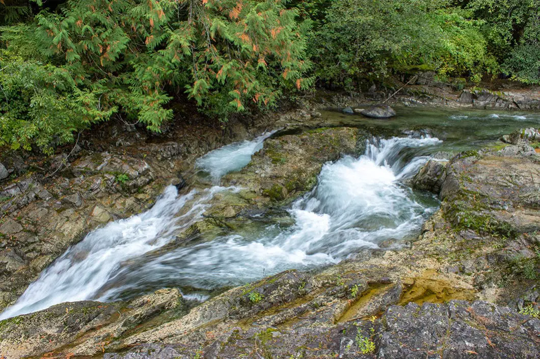
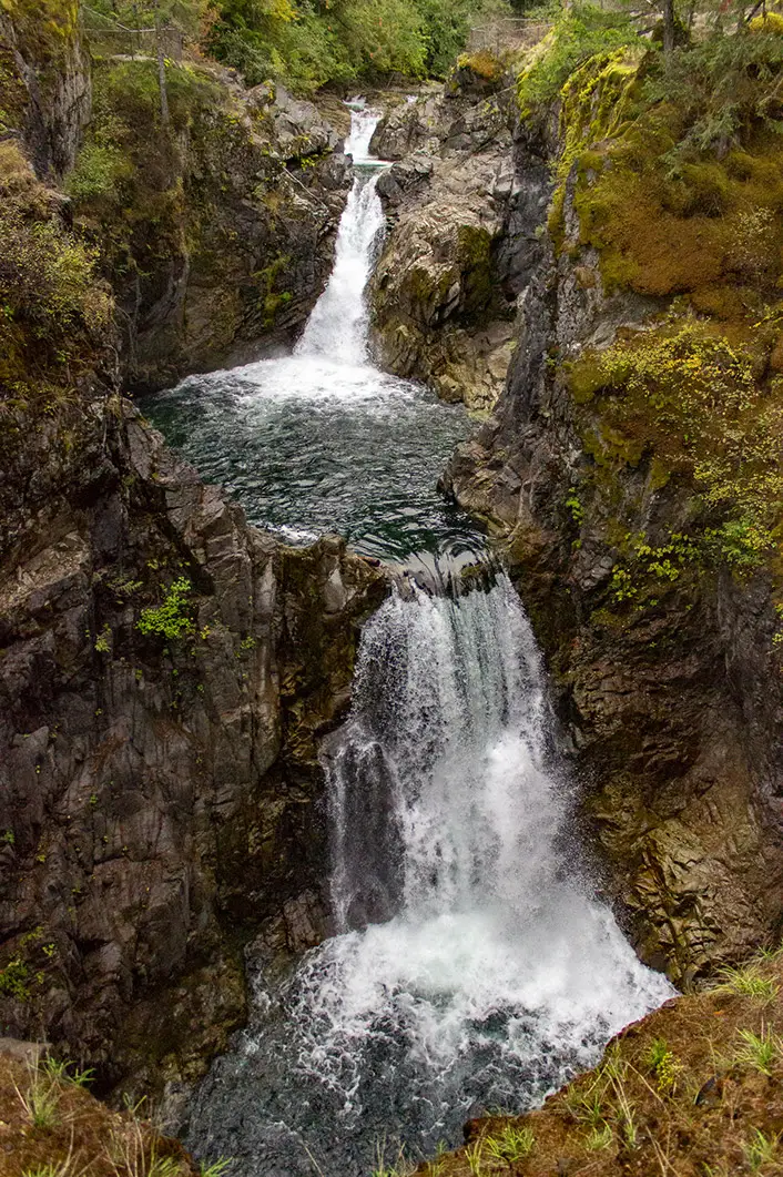
There are actually several falls that cascade down the Qualicum River which carves its way through an impressive rocky canyon.
There’s more to Little Qualicum Falls Park beside waterfalls. There is swimming and fishing available within Cameron Lake, picnic facilities, and a great campsite.
The park is located near Parksville and Qualicum Beach. It’s a great place to stop and stretch your legs during a drive to Coombs, Cathedral Grove, Port Alberni, or Tofino.
We recommend hike the loop and seeing the lower falls and upper falls, which will take about 1 hour. If you have less time you can do a quicker out-and-back directly to the upper falls.
The route below describes a short 2 km loop from the lower falls to the upper falls. The entire park has about 6 kilometres of hiking trails if you wish to deviate from the route below and do further exploring.
A word of caution: Sections of the Qualicum River contain strong currents and other hazards. Make sure you stay away from the cliffs and riverbank edges. Jumping from bridges and cliffs is prohibited.
Little Qualicum Falls Hike Stats
Rating: Easy
Distance: 2 km
Net Elevation Change*: Minimal
Highest Point: 140 m
Time Needed: 1 Hour
Type: Loop
Season: Year-round
Dogs Allowed: Yes, on leash
Est. Driving Time from Nanaimo: 45 Minutes
Trailhead Coordinates: 49.315929, -124.554453
*For a better understanding of the stats and difficulty rating, check out the Hiking Guides page for details. Always carry The Essentials and fill out a trip plan.
Little Qualicum Falls Video
Here is a 2-minute video of our experience on this hike!
Little Qualicum Falls Hike Map
Little Qualicum Falls
Profile
Little Qualicum Falls Hiking Route
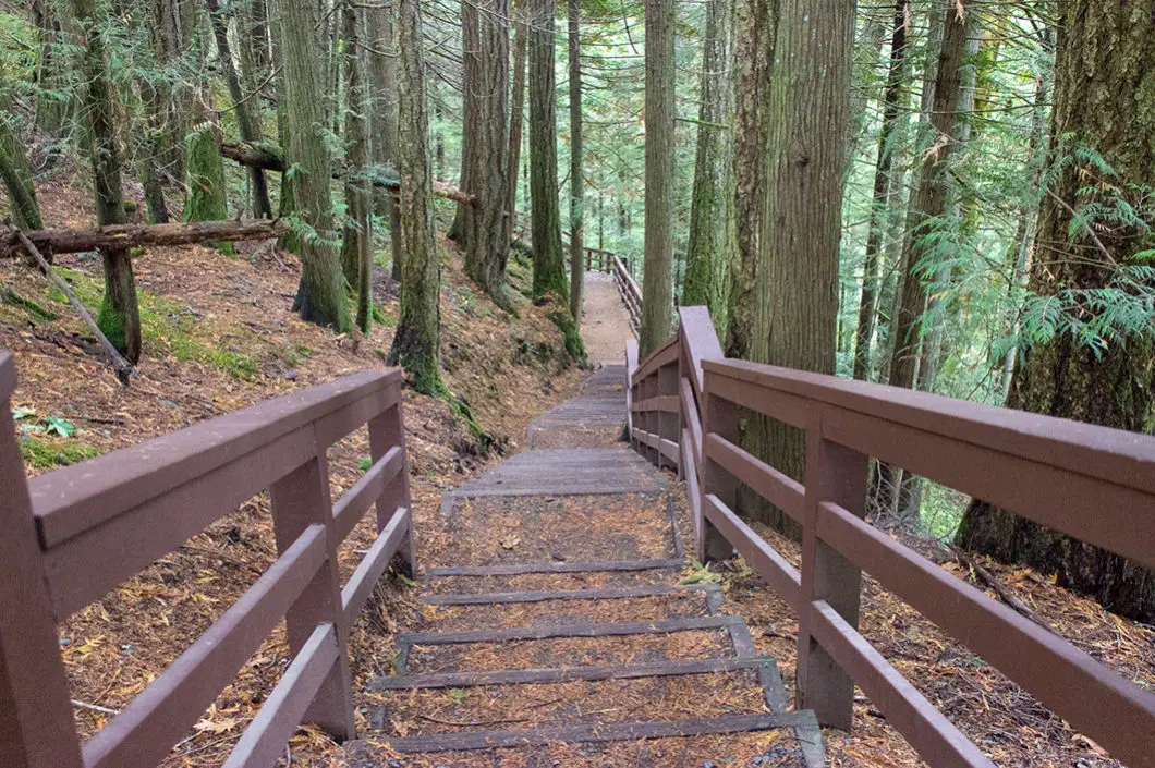
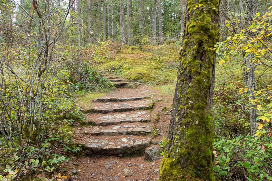
At the bottom of the parking lot, you’ll see a sign marked for the Lower Falls. Find the sign, and go down the wooden stairs. You’ll immediately begin to drop down the trail. After a couple of minutes, the trail will meet up with a few other trails that connect to the Lower Falls.
The trail is made up of wooden stairs and gravel sections. All the trails throughout the park are well-defined and maintained.
Keep to your right, and continue walking down to the bottom of the trail. Near the bottom, you will do a hairpin turn to the right and go down a few final stairs. You will then see the river on your left and a wooden bridge with metal railings. This is the Lower Qualicum Falls.
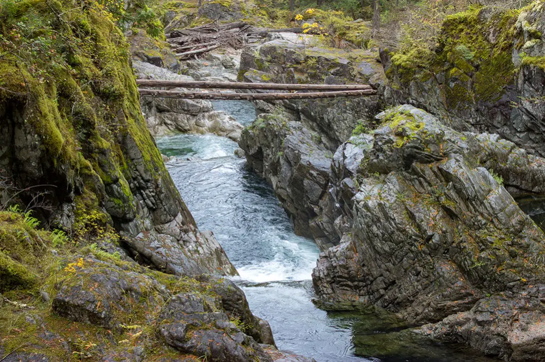
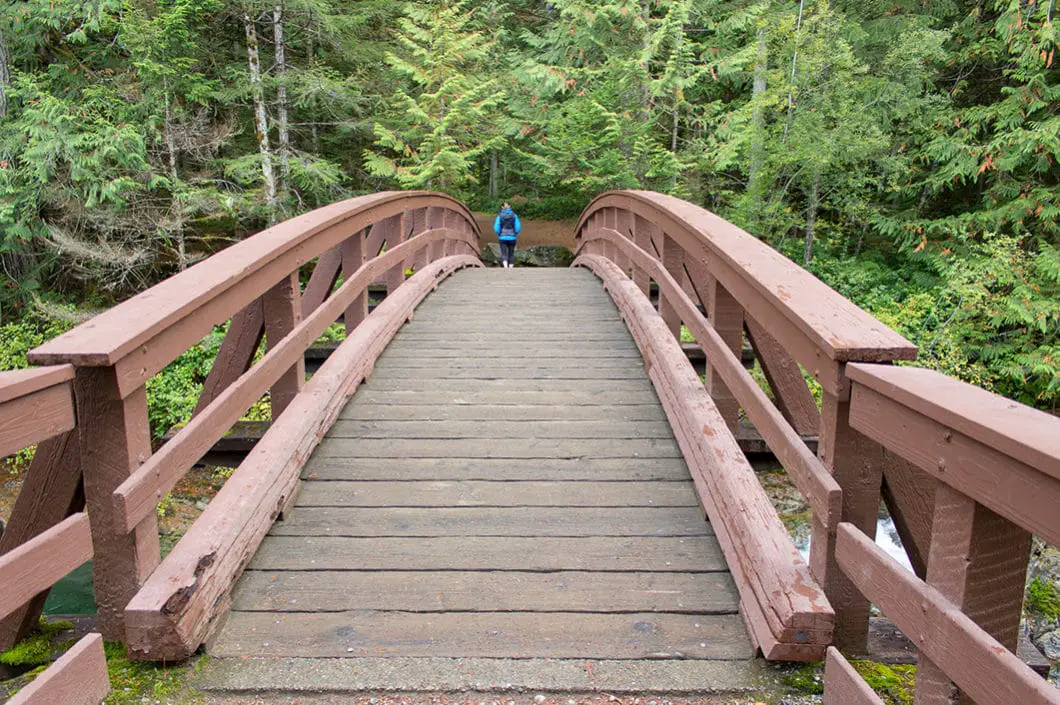
Walk over the bridge, enjoying the small, but scenic falls. Once you are across the bridge, go left. Follow the trail alongside the fence. In a short way, there is a small viewing point where you can stand along the fence and view the top of the Lower Qualicum Falls.
When ready, keep following the trail upstream.
The trail here is wide, groomed doubletrack, with a very gradual incline. The trail is easy to follow.
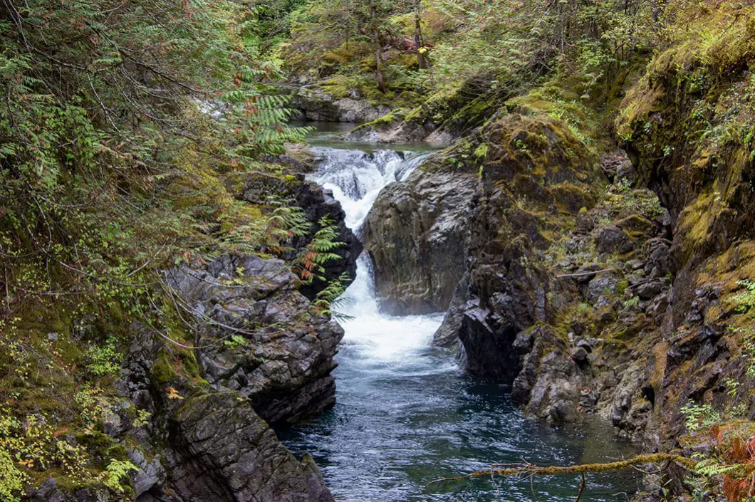
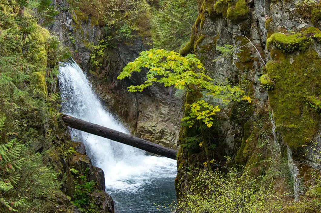
Within about 10 to 15 minutes, you’ll reach the Upper Qualicum Falls. As you approach the falls, there is a wide-open area to the left with several viewing platforms. Work your way along the fence, peering down into the canyon below. The ‘signature’ view of Qualicum Falls comes from one of the lower viewing platforms. From there, you can see the multi-tiered waterfall perfectly.
At the top of the Qualicum Falls, there is another wooden bridge. Across the bridge, there a little park map at a trail junction. Go left here. The other trails here meander to the Qualicum Falls campground.
Quickly, you’ll come to another view point of the Upper Qualicum Falls. This time, from this opposite side of the river you were on before.
Keep going along the trail until you reach another junction. Go left again and you’ll go down a set of stairs. There’s yet another viewing platform of the bottom of the waterfall as seen through a narrow canyon.
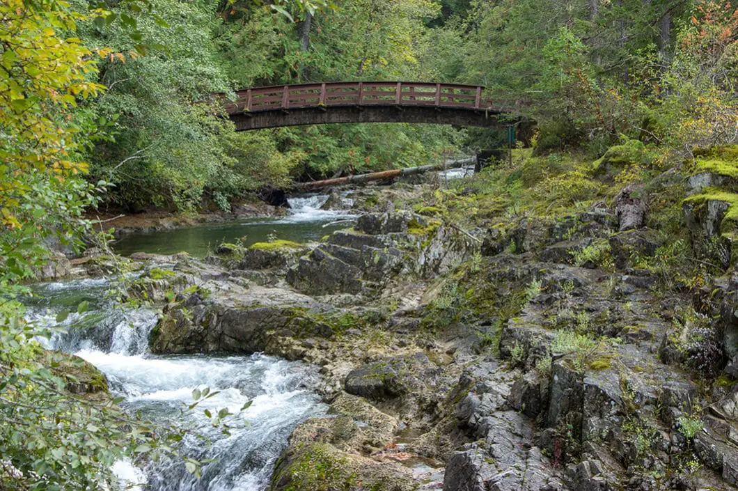
Follow the river down with the chain-link fence on your left. There are a few more scenic spots along the river as the water crashes down from Qualicum Falls.
The trail continues, flat and wide. If you look to your right you’ll see a large, covered picnic area. Follow the trail to the hut, and you’ll see the washrooms and parking lot where you started.
If you keep following the trail along the fence, you’ll eventually reach the Lower Falls again where you began the hike.
If you wish to take a dip after your hike, the day-use area at nearby Cameron Lake is the perfect spot.
Download the PDF version of this guide for offline use
Camping in Little Qualicum Falls
There are 105 campsites within Little Qualicum Falls Provincial Park. Camping is not available during the winter, but the day-use areas remain open.
Reservations are required through Discover Camping.
Directions and Parking
From Nanaimo, take BC-19 N. Take exit 60 toward Port Alberni. After about 11 km, turn right onto Little Qualicum Fall Rd. Watch for the Provincial Park signs.
There is free parking at the end of the road.
Google Map directions are here.
Other great hikes on Vancouver Island
- Goldstream Trestle (easy)
- Yeo Point (easy)
- Elk Falls (easy)
- View all hiking guides here


91 CLUB
Wow, this post really captures the beauty of Little Qualicum Falls! I’ve always wanted to explore that area, and your photos and tips have inspired me to plan a visit soon. The loop sounds perfect for a day hike, and I can’t wait to experience the stunning waterfalls in person! Thanks for sharing!