Lower Myra Falls – Table of Contents
- Hike Introduction
- Hike Statistics
- Lower Myra Falls Video
- Map and Elevation
- Hiking Route Description
- Directions and Parking
- Free PDF Download
Lower Myra Falls Hike Intro
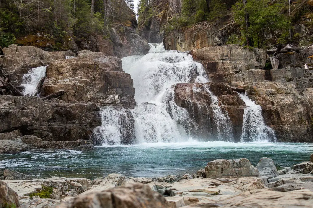
Lower Myra Falls, in Strathcona-Westmin Provincial Park, is a short hike which leads to a beautiful waterfall. Lower Myra Falls has upper and lower viewing areas.
Located at the southern tip of Buttle Lake, Lower Myra Falls is remote but well worth the stop for anyone visiting or camping in Strathcona Park.
Shorter and easier to hike than nearby Upper Myra Falls, Lower Myra Falls is kid-friendly and makes for a terrific family outing.
Please note, Lower Myra Falls and Upper Myra Falls are two distinct waterfalls, not different portions of the same waterfall. Our guide for Upper Myra Falls is coming soon.
Lower Myra Falls Hike Stats
Rating: Easy
Distance: 1.5 km
Net Elevation Change*: 54 m
Highest Point: 308 m
Time Needed: 45 Minutes
Type: Partial-loop
Season: Year-round
Dogs Allowed: Yes, on leash
Est. Driving Time from Vancouver: 7 Hours
Trailhead Coordinates: 49.577395, -125.565523
*For a better understanding of the stats and difficulty rating, check out the Hiking Guides page for details. Always carry The Essentials and fill out a trip plan.
Lower Myra Falls Video
Here is a 1.5-minute video of our experience on this hike!
Lower Myra Falls Hike Map and Elevation
Lower Myra Fallsl
Profile
Lower Myra Falls Hiking Route
From the parking lot, you’ll find an outhouse and a B.C. Parks signboard. The sign has some information about the waterfall and the area.
The trail begins down to the right on a flat, groomed path. Soon, the trail begins dropping downhill.
After about 200 meters or three minutes down the trail, you will come to a junction for the upper and lower viewpoints. Stay straight, heading for the lower viewpoint.
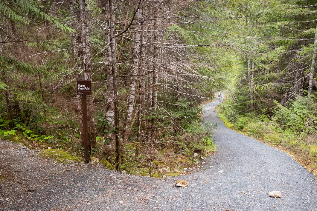
Trees along the trail include Douglas-fir, western red cedar, western hemlock, and grand fir.
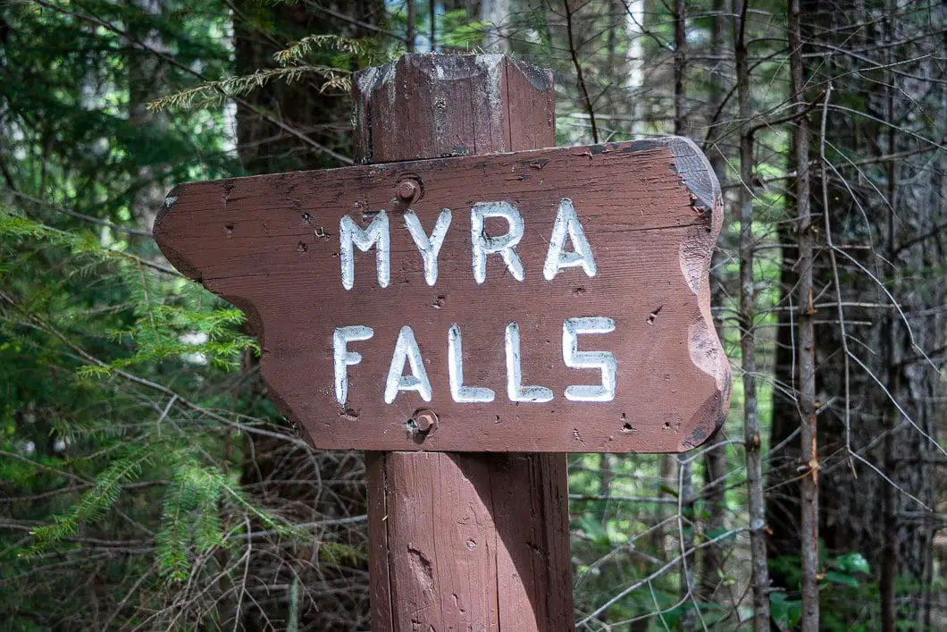
After 400 meters, or five minutes, you will come to a sign marked for Myra Falls. Just past this sign, there’s a little junction and the trail splits left or right. Left is where we’ll go later to loop to the upper lookout. First, take the path on the right-hand side, and within another minute you’ll come to the lookout of Lower Myra Falls.
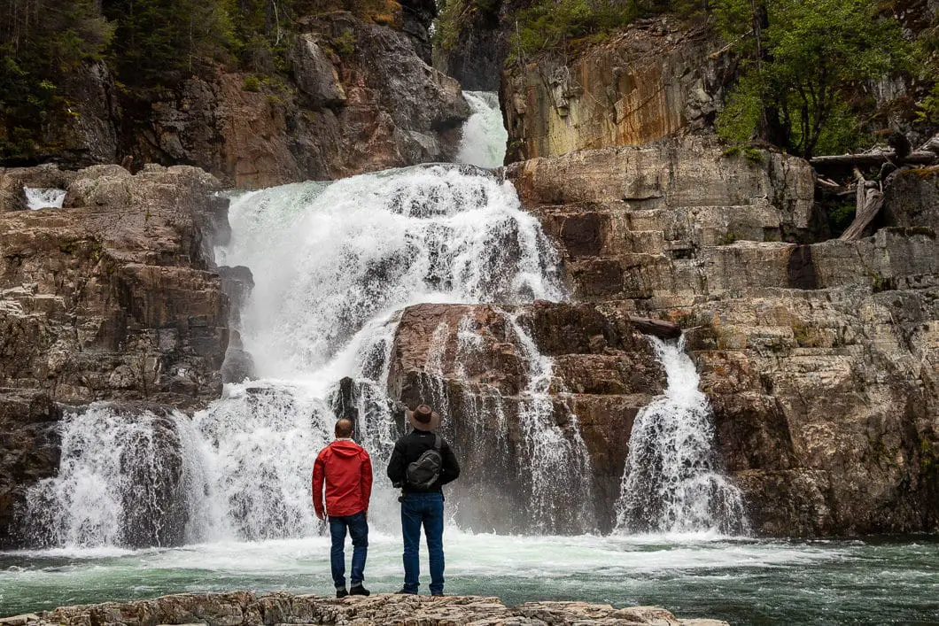
You can walk out onto the rocks below the falls to get the best view. Please be mindful of slippery rocks, especially with children. Also be sure to stay back from any edges, as a slip into the powerful current could sweep you over the lower falls as it plummets into Buttle Lake.
The water is a beautiful color and remarkably clear. There are several nice spots where you can sit on the rocks and relax while you enjoy the view of the falls. Bringing a picnic and towel might be a good idea.
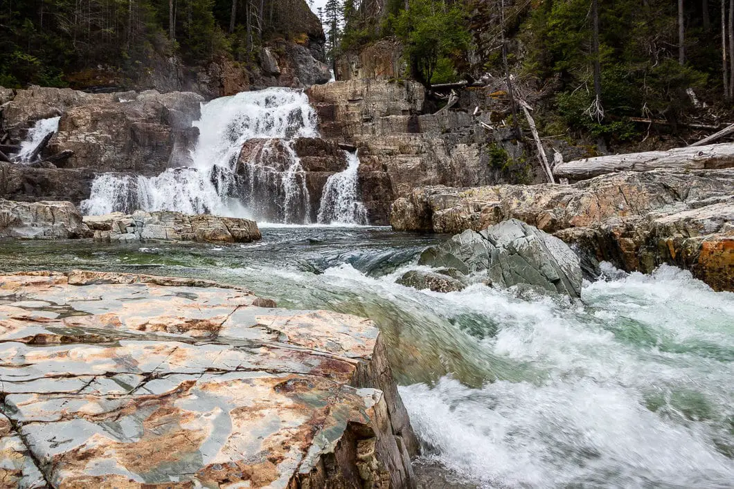
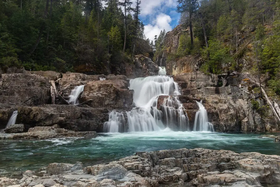
Behind you, Buttle Lake can be seen through a clearing in the trees further down the falls. You can also see Syd Watts Peak and a portion of Mt. Albert Edwards across the lake.
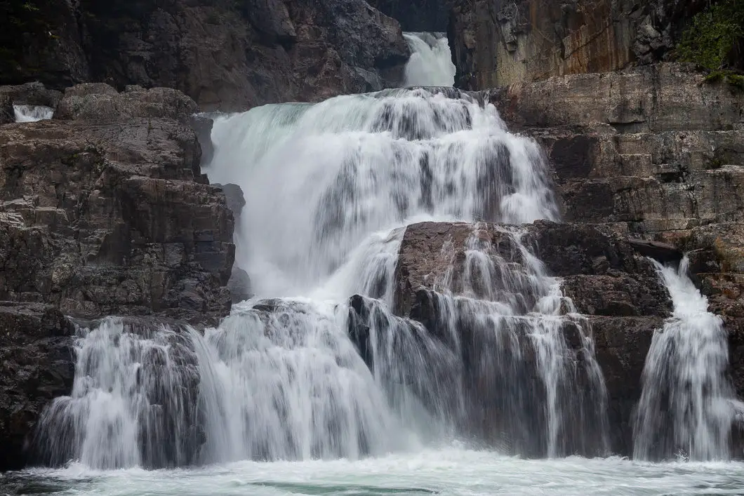
Cool fact: “Here at Myra Falls, the creek plunges nearly 70 meters in three cascades, each marking a shift in the crust and reminding us of the forces at work deep inside the earth” [Source: B.C. Parks sign]
After you check out the lower viewpoint of Lower Myra Falls, go back to the previous gravel junction by the sign marked Myra falls, and go up to your right. There’s a short series of switchbacks that lead to another junction. Go right, and follow the trail a few minutes to a viewpoint of the upper portion of Lower Myra Falls.
There’s a small viewing platform with a concrete wall, from which you can see the waterfall from above. You’ll have a great vantage point of a large pool of green water. It is not as impressive as the lower viewpoint, but it provides a different perspective where you can appreciate just how powerful the falls are.
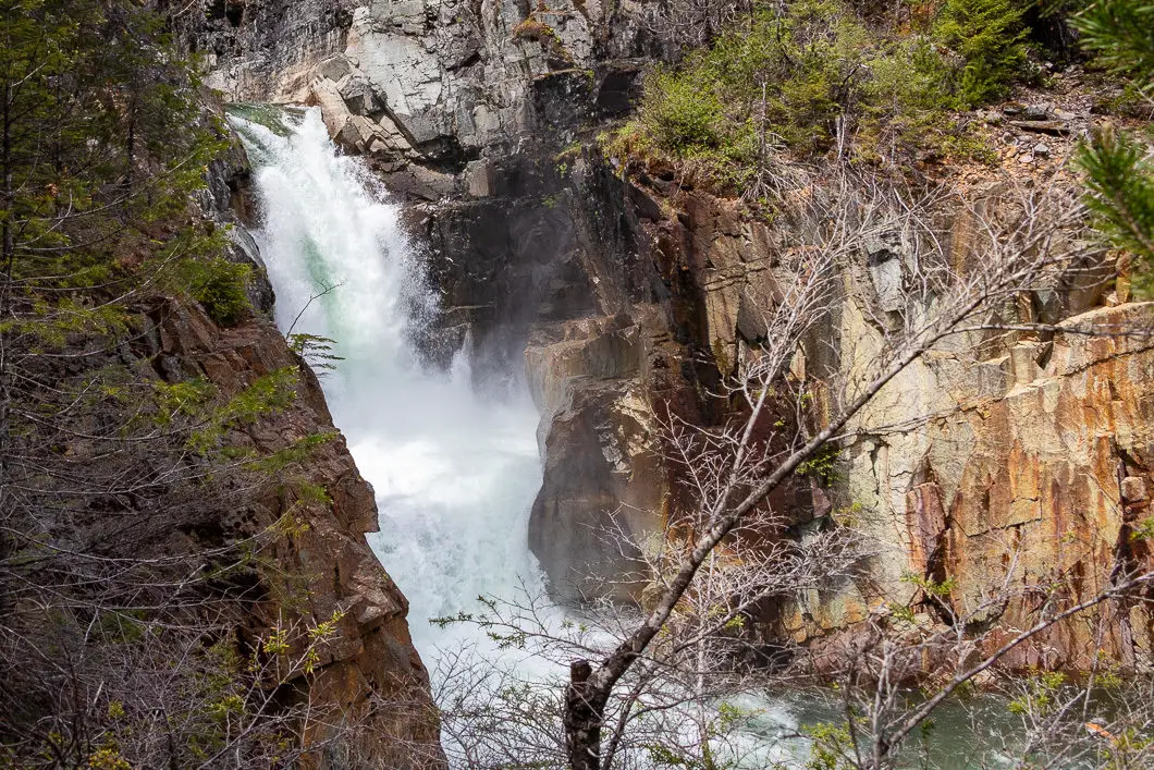
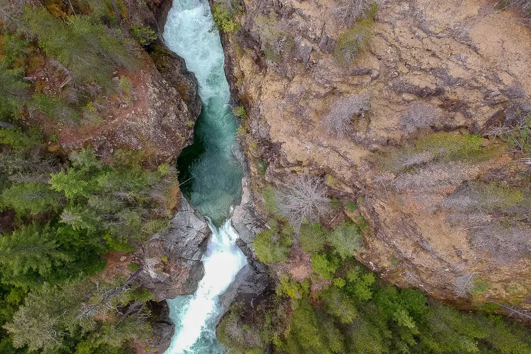
From here, you can do a partial-loop (a route sometimes called a lollipop or lasso) back to the main trail. Heading back, stay straight at the trail which comes out from the switchbacks.
Once you hit the main, wide trail, turn right, and climb back up the hill to the parking lot.
Download the PDF version of this guide for offline use
Directions and Parking
From Nanaimo, take BC-19 N towards Campbell River. Turn left onto BC-28 W when you reach Campbell River. Follow the winding highway into Strathcona Park. Carry straight passed the turnoff for Buttle Creek Campground and carry on to Westmin Road.
The road will hook around the southern tip of Buttle Lake and you’ll see a sign on your right for Lower Myra Falls. Turn off Westmin Road and the parking lot is on this dirt road.
Google Map directions are here.
Other great hikes in this area
- Upper Myra Falls (moderate)
- Lady Falls (easy)
- Lupin Falls (easy)
- View all hiking guides here


yt5s official
This post really captures the beauty of Lower Myra Falls! I loved the detailed tips on the best viewing spots and the hike. Can’t wait to plan my visit—thanks for sharing such useful information!
Coralie
How is the road past the south end of Buttle lake? I drive a focus. I’ve made it to Bedwell trail head before so if it’s not any worse than that, I’m thinking it should be fine…
Chris Smythe
There is a typo on the directions page. Word should be past and not passed.
“From Nanaimo, take BC-19 N towards Campbell River. Turn left onto BC-28 W when you reach Campbell River. Follow the winding highway into Strathcona Park. Carry straight passed the turnoff for Buttle Creek Campground and carry on to Westmin Road.”