Lupin Falls – Table of Contents
- Hike Introduction
- Hike Statistics
- Lupin Falls Video
- Map and Elevation
- Hiking Route Description
- Directions and Parking
- Free PDF Download
Lupin Falls Hike Intro
Lupin Falls is a short yet scenic hike in Strathcona Provincial Park on Vancouver Island, leading to a picturesque waterfall.
The Lupin Falls Trail is a hike that can be completed in a 1 km loop.
As this is a short hike, it’s often done as a quick detour on the drive to Lower Myra Falls. It is also a great place to visit for anyone camping within Strathcona Provincial Park.
While it is accessible year-round, spring is usually the best time of the year to visit Lupin Falls. At the end of summer there may be little volume to the waterfall.
Hike Stats
Rating: Easy
Distance: 0.8 km
Net Elevation Change*: 40 m
Highest Point: 275 m
Time Needed: 0.5 Hours
Type: Loop
Season: Year-round
Dogs Allowed: Yes, on leash
Est. Driving Time from Vancouver: 7 Hours
Trailhead Coordinates: 49.798947, -125.597846
*For a better understanding of the stats and difficulty rating, check out the Hiking Guides page for details. Always carry The Essentials and fill out a trip plan.
Lupin Falls Video
Here is a 1-minute video of our experience on this hike!
Hike Map and Elevation
Lupin Falls (one-way)
Profile
Hiking Route
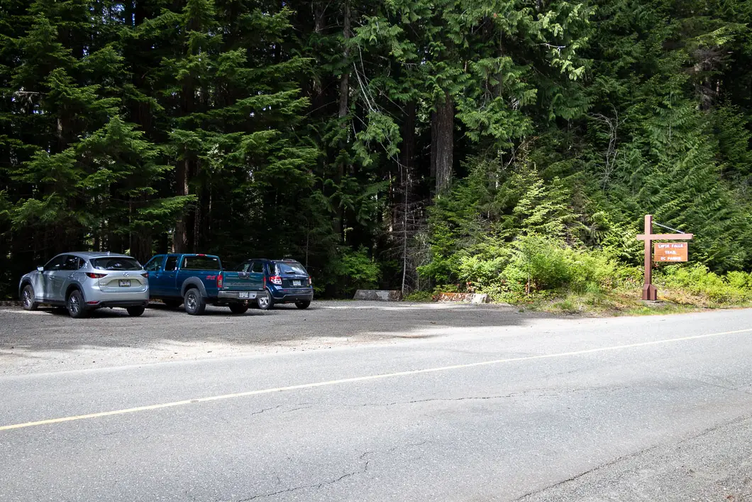
Park in the pullout on the side of Westmin Road (directions).
There are basic facilities here, and a path that leads down to the edge of Buttle Lake, which you can explore after checking out rhe waterfall.
To get on the Lupin Falls Trail you need to cross the road. You will see the trailhead marked by a sign.
As soon as you get on the trail, there is a junction. You can go in either direction, but we’ll stay straight.
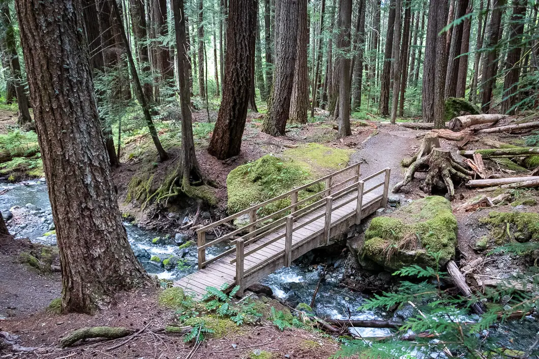
Cross the wooden bridge to the other side of Lupin Creek. The wide, double-track trail will enter the forest. The trail is well-groomed, easy to follow and surrounded by many large cedar and fir trees.
Walk along the trail as it follows the creek, which is now on your right.
The trail gets narrower, with more tree roots, but remains easy to follow.
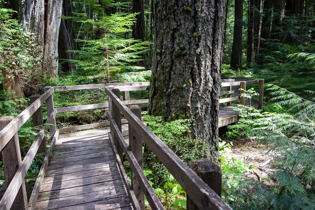
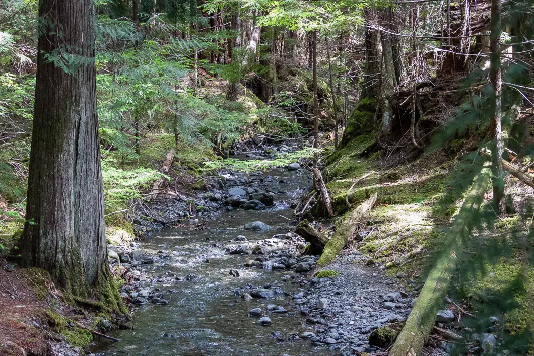
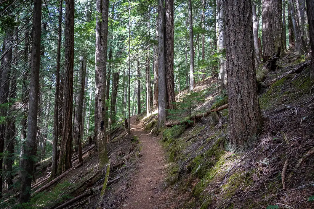
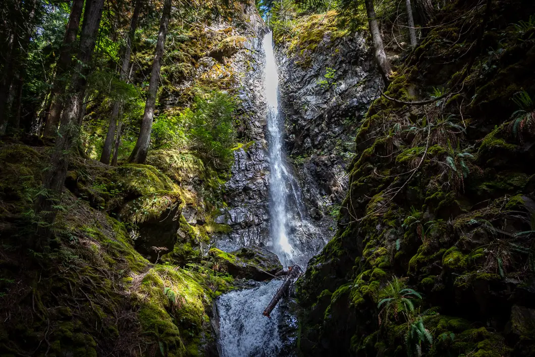
After a few minutes, there is a switchback and the trail begins to climb uphill. As you come to the top of the climb, you’ll see Lupin Falls through the trees ahead of you.
There’s just one more short switchback before you descend back down the trail to the base of the waterfall.
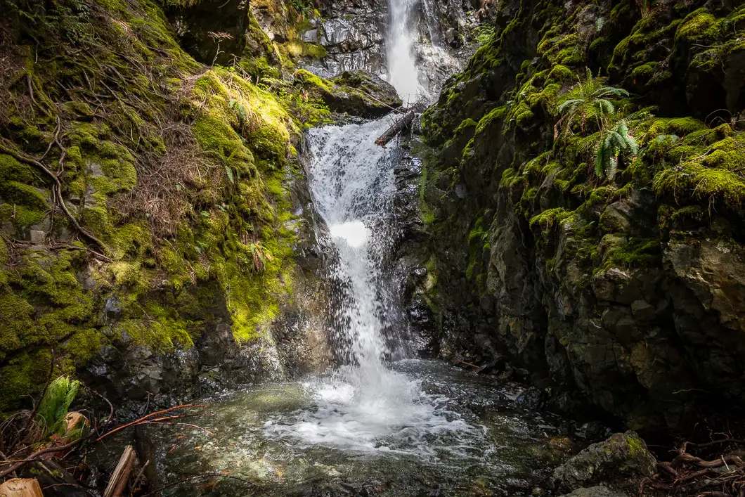
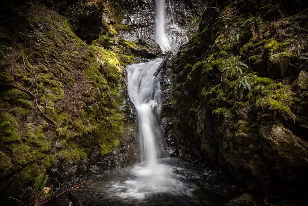
Lupin Falls has two tiers and cascades 40 m. At the base of the falls, there is a bench and viewing platform, where you can soak in the scene.
Once you’ve enjoyed the falls, you can continue along the trail and finish the loop back to the trailhead. Simply cross over the bridge near the falls, and follow the trail for the short walk back to the parking area.
Download the PDF version of this guide for offline use
Directions and Parking
From Campbell River, head west on Highway 28, following the signs for Strathcona Park. Follow the road for nearly 50 km until reaching a junction at the Buttle Narrows.
Follow Westmin Road for about 5.3 km south of the bridge. There are signs and a pullout for Lupin Falls Trail on the side of the road.
Google Map directions are here.
Other great hikes in this area
- Lower Myra Falls (easy)
- Upper Myra Falls (moderate)
- Lady Falls (easy)
- View all hiking guides here


