Lynn Loop – Table of Contents
- Hike Introduction
- Hike Statistics
- Lynn Loop Video
- Map and Elevation
- Hiking Route Description
- Directions and Parking
- Free PDF Download
Lynn Loop Hike Intro
The Lynn Loop Trail is a popular hike in Lynn Headwaters Regional Park, North Vancouver. Compared to other hikes in the park, Lynn Loop is a relatively easy hike and can be completed in about 2 hours.
While the Lynn Loop hike doesn’t have an epic viewpoint or a waterfall, it is still a scenic and enjoyable hike.
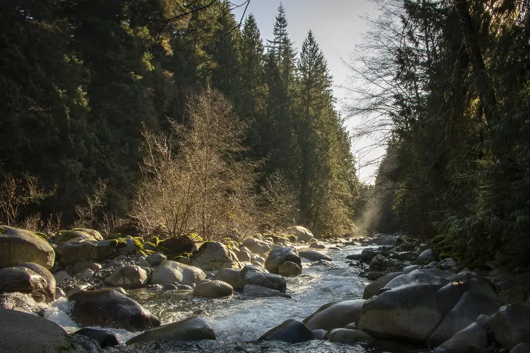
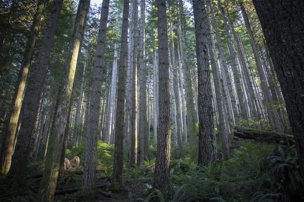
The upper portion of the trail carries you through the peaceful and beautiful forest of Lynn Headwaters. The lower portion of the trail follows Lynn Creek and makes for an easy, flat walk.
The Lynn Loop is a popular trail for dog owners and is a nice destination for a quick and easy outing. You can start in the morning and complete the hike before lunch.
This route is also a great option for trail running.
Lynn Loop Hike Stats
Rating: Moderate
Distance: 5.5 km
Net Elevation Change*: 172 m
Highest Point: 365 m
Time Needed: 2 Hours
Type: Loop
Season: Year-round
Dogs Allowed: Yes, on leash
Est. Driving Time from Vancouver: 30 Minutes
Trailhead Coordinates: 49.359619, -123.027950
*For a better understanding of the stats and difficulty rating, check out the Hiking Guides page for details. Always carry The Essentials and fill out a trip plan.
Lynn Loop Video
Here is a 6-minute video of our experience on this hike!
Hike Map and Elevation
Lynn Loop
Profile
Lynn Loop Trail Hiking Route
The hike along the Lynn Loop Trail begins at the Lynn Headwaters Regional Park trailhead. This is the same trailhead as other popular hikes like Norvan Falls, Lynn Peak, Coliseum Mountain, and Hanes Valley.
To begin the hike, park at Lynn Headwaters (directions), and walk onto the trail. There is a park map and two outhouses available at the trailhead.
Take the bridge over Lynn Creek and you’ll be at the main junction. As this hike is a loop you can go in either direction. We will describe the hike as heading right at this junction, walking counter-clockwise.
The advantage of hiking counter-clockwise is that most of the elevation gain is gradual over the first half of the hike. If you hike clockwise, the start of the hike will be very flat, and then you will have to climb directly up at the Second Debris Chute, up about 100 m of climbing.
Go right at the junction, by the information board, in the direction for Lynn Peak.
Follow the wide trail as it drops down, and then climbs a small hill. At the top of the hill, there is another junction. Go left here, in the direction marked for Lynn Loop.
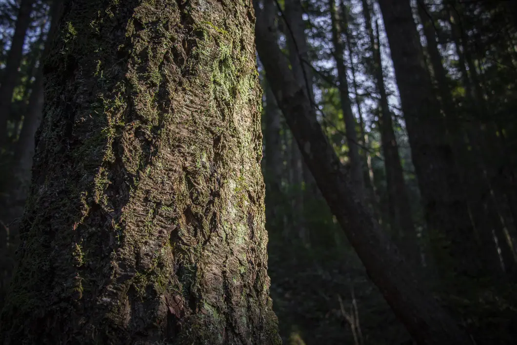
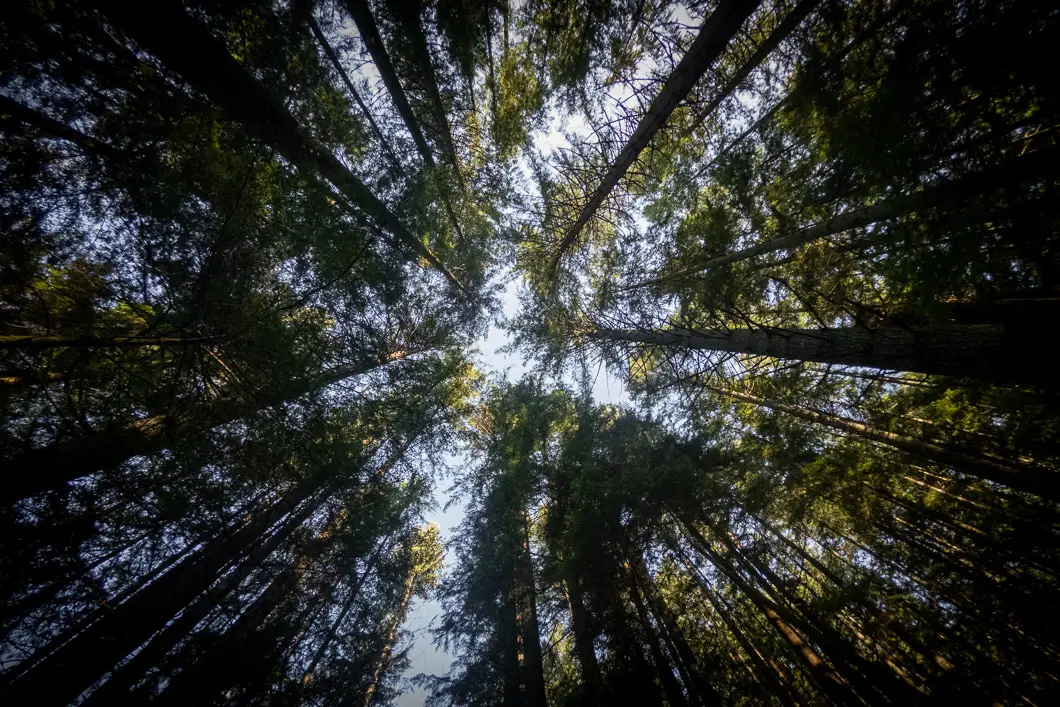
The trail will climb up now, into the forest of second-growth cedar and Hemlock, but remains wide. After about 800 m, you’ll come to the junction for Lynn Peak. Stay left, ignoring the split for Lynn Peak.
The trail will now be narrower, with more tree roots and ups and downs. Overall, it remains easy to follow and shouldn’t pose too much of a problem.
As you carry along the trail, you will cross over several creeks that have wooden bridges. The bridges are numbered with yellow tags if you look at their bases.
You can hear Lynn Creek running off to your left at a few points along the trail. There are some partial views across Lynn Creek at various spots, with Mount Fromme barely visible through the thick layers of trees.
The forest itself is beautiful and calming.
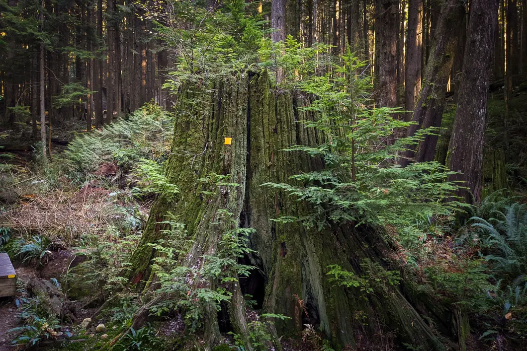
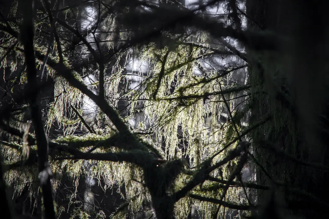
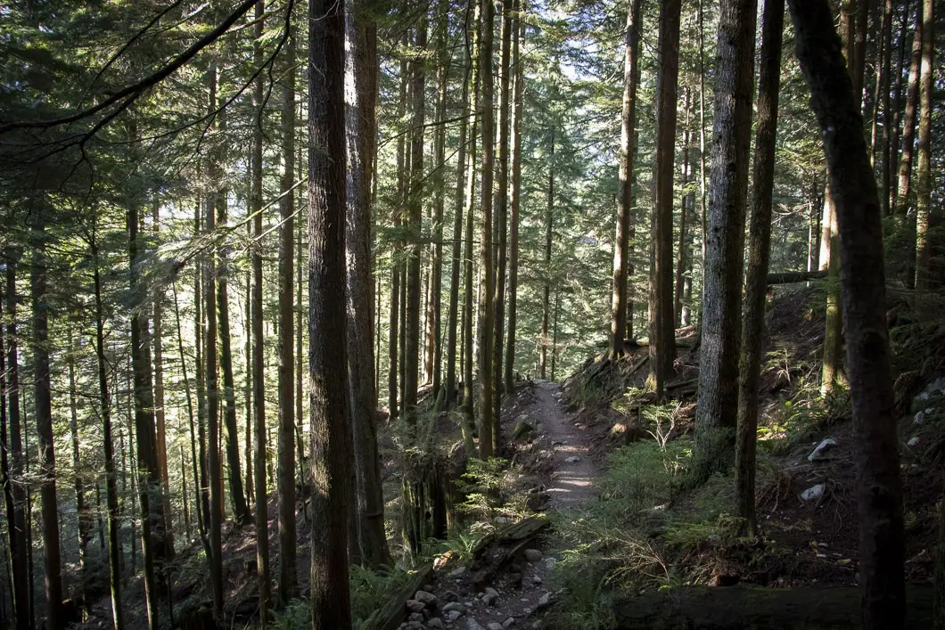
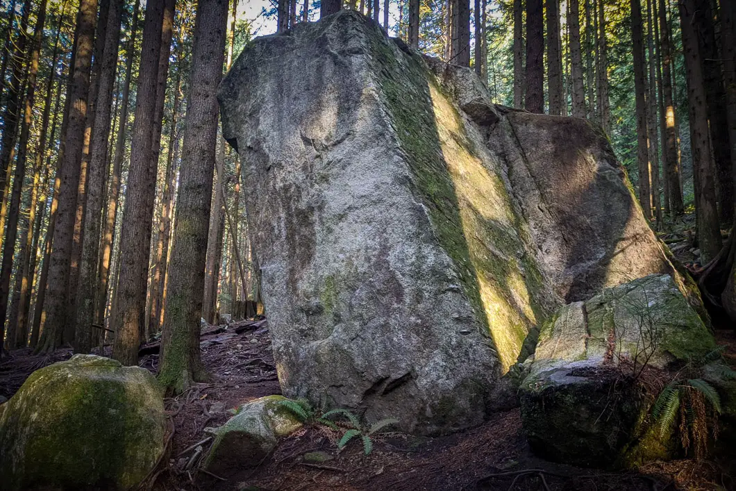
After around 3.3 km into the hike, you will come to a bridge which is numbered #17. Here, there’s a junction that’s uncreatively marked for nearby ‘boulders’. You can take a quick detour to check out the boulders. They are large and impressive, and the trail to reach them is short. It only adds several extra minutes to the hike, so it’s worth checking out.
After the boulders (or if you don’t detour), go over the bridge. Follow the trail and you will quickly come to a junction with the Second Debris Chute.
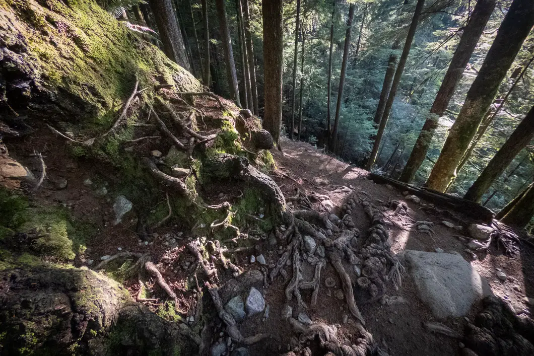
This is where you’re going to head down to stay on the Lynn Loop Trail and begin heading back to the parking area.
If you’d like to extend your hike you can carry along the Headwaters Trail to the Third Debris Chute. From there, you can head back to the parking lot along the Cedars Mill and Lynn Loop Trails. This would add 4 km and at least an hour to the hike.
From this junction, take the wooden stairs as they drop down towards Lynn Creek. A combination of stairs and steep trail will take you all the way down. It takes about 10 – 15 minutes to get to the bottom.
When you come to the bottom, there’s a T-junction. Going right would take you along the Cedars Mill Trail towards the Third Debris Chute (and beyond to Norvan Falls). You’re going to go left on the Lynn Loop Trail.
Download the PDF version of this guide for offline use
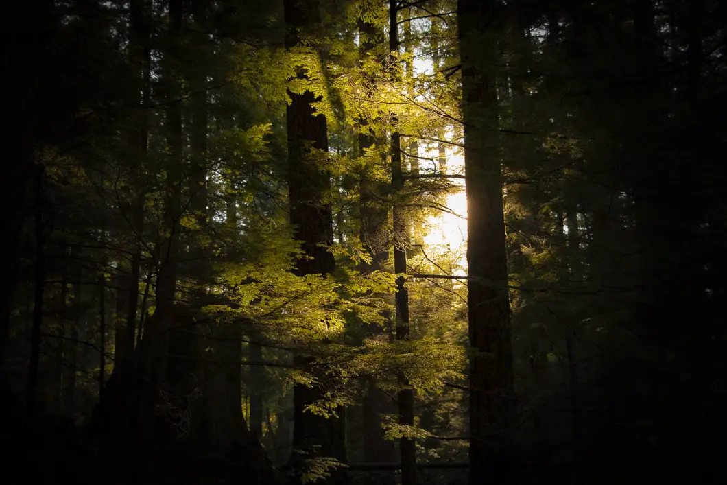
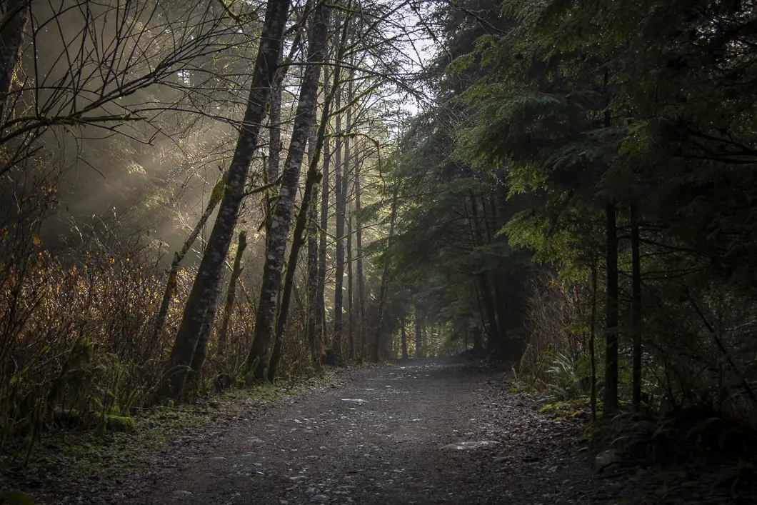
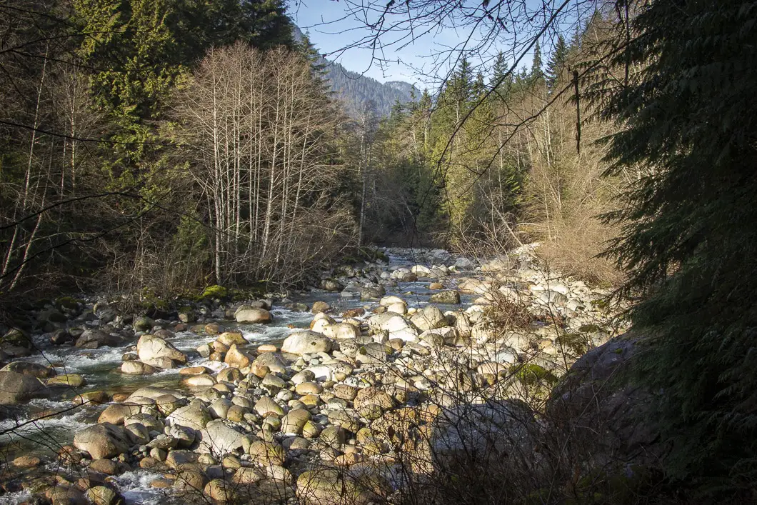
The trail is flat and easy the rest of the way, and you’ll soon be back at the starting point.
It is 1.8 km back to the parking lot from here. It is much easier than the upper portion of the trail which you just came from. Simply follow the trail alongside Lynn Creek downstream.
Directions and Parking
From Highway 1 take the Lynn Valley Road (exit #19 north) in North Vancouver. Follow the road all the way up the the Lynn Headwaters Regional Park parking lots.
Google Map directions are here.
You can also start this hike from the Lower Seymour Conservation Reserve by taking the Lynn Headwaters Connector Trail to the Upper Lynn Loop Trail.
Other great hikes in this area
- Norvan Falls (moderate)
- Hanes Valley (difficult)
- Lynn Peak (moderate)
- View all hiking guides here


Latestmodapks
I’ve been wanting to try this trail for a while now, thanks for the detailed guide! Your photos are stunning, really makes me want to get out there and hike it soon