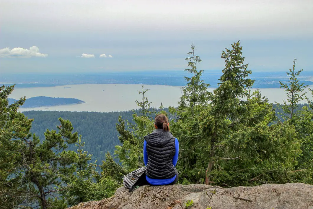
Mount Gardner – Table of Contents
- Hike Introduction
- Hike Statistics
- Mount Gardner Video
- Map and Elevation
- Hiking Route Description
- Directions and Parking
- Free PDF Download
- 360° Photosphere
Mount Gardner Hike Intro
Any reason to head to Bowen Island for the day is a good one, but there is perhaps no better reason than for a hike to Mount Gardner. A trip up to Mount Gardner on Bowen Island gives you a great hike with the bonus of a fun day-trip off the mainland.
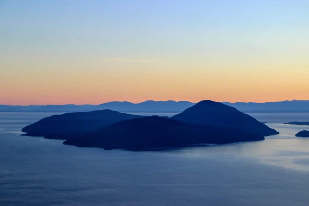
A trip to the summit of Mount Gardner provides views of Vancouver, and also the sunshine coast and the Howe Sound islands. The hike is pleasant and can be completed in a loop which is always nice.
The trailhead is 3 km from the Snug Cove ferry terminal on Bowen Island. If you want to save some cash for the ferry ride, it’s easily doable as a bike ride, saving you the vehicle fee and getting you an extra 6 km of exercise. Or, if you have time to spare, you can even walk those 6 km, though they won’t be terribly exciting.
If you want to extend your outing on Bowen Island, Crippen Regional Park and Killarney Lake offer some additional easy hiking.
The only drawback to this hike is a lack of clear markings on many of the trails, which can lead to some confusion as you make your way up.
But, if you’ve never been to Bowen Island before, the hike is worth it for the experience alone. You may even get lucky and see orcas on the ferry ride over, as I did.
Mount Gardner Hike Stats
Rating: Moderate
Distance: 10 km
Net Elevation Change*: 570 m
Highest Point: 720 m
Time Needed: 4 – 5 Hours
Type: Loop
Season: Year-round
Dogs Allowed: Yes
Est. Driving Time from Vancouver: 1.5 hours (incl. ferry)
Trailhead Coordinates: 49.390908, -123.363251
*For a better understanding of the stats and difficulty rating, check out the Hiking Guides page for details. Always carry The Essentials and fill out a trip plan.
Mount Gardner Video
Here is a 2-minute video of our experience on this hike!
Mount Gardner Hike Map and Elevation
Mount Gardner
Profile
Mount Gardner Hiking Route
From the ferry, follow the directions to the parking area just south of Killarney Lake. Park along the gravel road and walk up the hill towards the gate. A few minutes beyond the gate you will come to a junction for Hikers Road/ N. Mount Gardner Trail and the Skid Trail.
This guide will take us starting along the route to North Mount Gardner Trail in a counterclockwise loop. It can be done in the other direction, starting on Skid Trail, if you prefer.
A quick word of caution for this hike. There are plenty of small, orange square markers in the trees and there are wooden signs at various spots and junctions along the way. BUT, because there are so many trails in the area, it can be confusing to stay on track. There is more than one way to reach the summit, regardless of which direction you complete the loop. Following this guide, step for step, may prove difficult. There are a few main trails you will try to stay on but don’t stress too much. The mountain is fairly small. As long as you’re heading uphill on a well-defined trail with periodic markings, you’ll be okay.
Follow the road straight up in the direction marked for Hiker’s Road/ N. Mt. Gardner Trail. In about 500 meters you’ll come to a split in the trail. Stay left on the wide path, going under the power line.
The trail is mostly flat with some climbing in this section.
About 30 minutes into the hike, you’ll come to a junction where you can cut down to Skid Road or keep going on Hikers Road. Stay on Hikers Road. After a short, steep climb, you will come to a junction marked for Handloggers Trail.
Sidenote about Handloggers Trail: You can detour onto Handloggers and find the junction back to N. Mt. Gardner Trail if you want. It will add time, and you’ll need to make sure you don’t miss the connecting trail back, but it is a very scenic, enjoyable trail. There is a nice viewpoint along the trail overlooking the Sunshine Coast. You will come to a well marked junction with a hand carved sign in a tree stump. From there, it’s a steep climb up to connect back with the N. Mt. Gardner Trail. If you miss that junction, you’ll end up skirting the Mount Gardner summit and end up on the other side of the mountain.
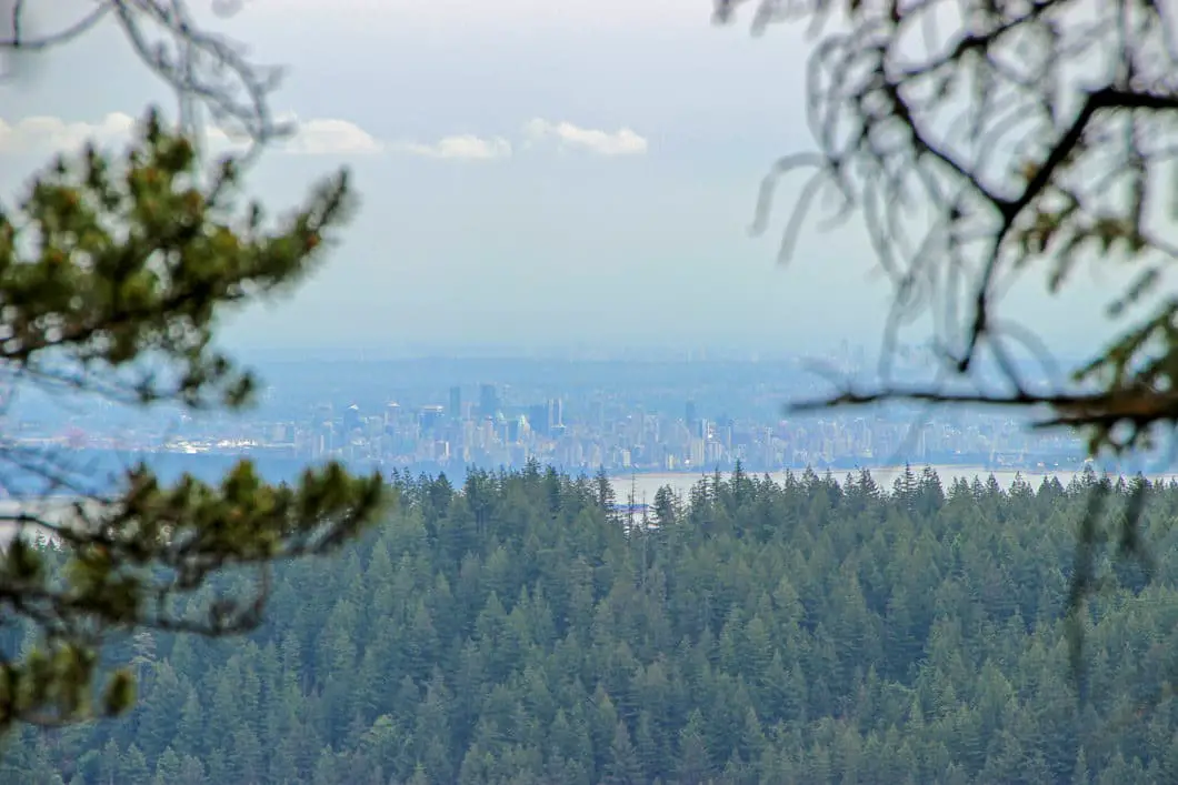
Stay straight, bypassing Handloggers Trail. The trail will become rooty and will continue to gradually climb uphill. Before too long, you will come to a nice lookout over Keats and Gambier Islands, and Gibsons and the Sunshine Coast.
Keep following the winding trail as it continues gradually uphill. About 20 minutes from the previous lookout you’ll come to the junction for the North Summit of Mount Gardner. There are two markers on a large tree. Go left here, towards the summit.
The trail climbs for about 10 more minutes and you will come to a final steep climb with ropes. This short section is the toughest part of the hike, but the summit is just at the top. Climb the ropes and you will emerge onto the summit of Mount Gardner. Here you will find two helicopter pads on either side of the summit, and some ugly communication towers in the middle.
The view to the west overlooks the Sunshine Coast and the town of Gibsons. To the east you look back onto West Vancouver and the coast mountains, and further south over the Burrard Inlet, downtown Vancouver and UBC.
Pick a helicopter pad with your preferred view, have a seat and enjoy lunch before tackling the rest of the loop back down to the trailhead.
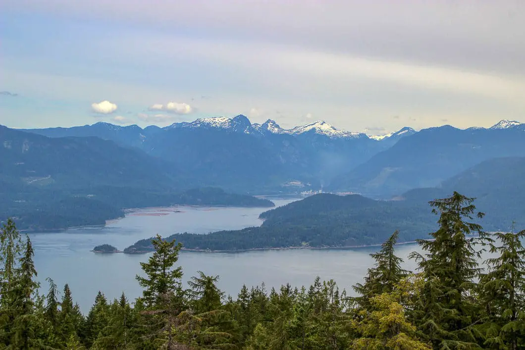
When ready, continue the loop by dropping down the south side of the summit. From the southern helicopter pad overlooking Vancouver you can pick up the trail that goes back into the trees. This is the way you will head to continue the loop back down to the parking lot.
Drop down the trail and you will quickly come to a junction. Go left in the direction marked South Summit and Bowen Bay.
Feel free to ignore the sign for South Summit, there is no view and it’s not an exciting detour. However, the south peak is technically higher than the north peak – so if peak bagging is your thing, go tag it so you can say you did it.
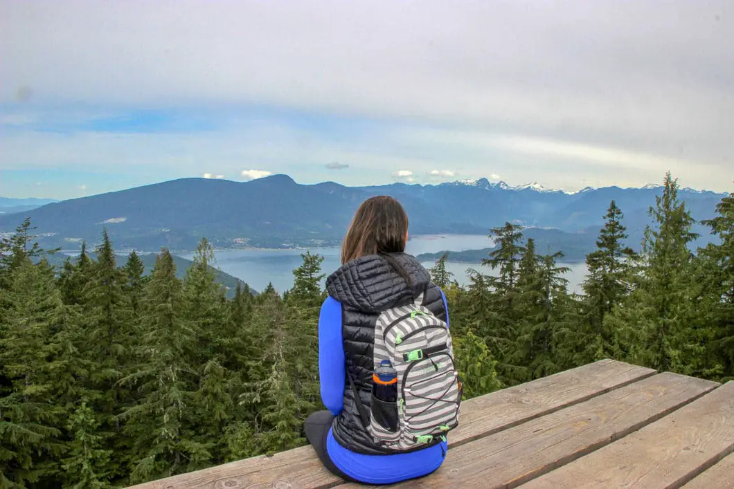

You are now on Mount Gardner South Trail. The trail will start to descend and it’s a matter of staying on the trail back down to the trailhead. You will reach a junction where you can go to Bowen Bay. Stay straight on the South Trail.
600 meters after the Bowen Bay junction the trail starts to do some big switchbacks. A nice view of downtown Vancouver will open up on your right.
Soon after you will come to another junction which shortcuts back up to the South Summit. Ignore it, and keep going straight in the direction marked for Killarney Lake.
The rest of the descent is relatively uneventful. You will pass by few dry creek beds and an area full of large boulders from and old rockslide.
Before too long, you will come back to the road (Bowen Pit Road) you started on. Simply head down the gravel road until you reach the gate and the parking lot.
Download the PDF version of this guide for offline use
Directions and Parking
From Snug Cove head up Bowen Island Trunk Rd unto it reaches Mt. Gardner Rd (at the Bowen Island Community School). Turn right onto Mt. Gardner R. Follow Mt Gardner Rd toward Crippen Regional Park and Killarney Lake. Once you are beside the lake, you will come to Bowen Pit Rd on your left. Head up Bowen Pit Rd until you find some parking spots on the left side of the road. You can park here, and the trailhead is just a short way up the gravel road.
Google Map directions are here.
Other great hikes in this area
- Lighthouse Park (easy)
- Eagle Bluffs (moderate)
- St. Mark’s Summit (moderate)
- View all hiking guides here


.Murray Atherton
You have a wonderful write up on Mount Gardner along with a pin on your map but there is no link in your search bar for Mount Gardy!
Tim Shields
Great article. I am going to hike up there to photograph the Vancouver skyline. Thanks for the instructions.