Mount Harvey – Table of Contents
- Hike Introduction
- Hike Statistics
- Mount Harvey Video
- Map and Elevation
- Hiking Route Description
- Directions and Parking
- Free PDF Download
- 360° Photosphere
Mount Harvey Hike Intro
Mount Harvey is a challenging hike with rewarding views from the summit. Similar to nearby hikes like Brunswick Mountain, The Lions, and Tunnel Bluffs, jaw-dropping views of Howe Sound are enjoyed from the summit. However, Mount Harvey seems to see less trail traffic than its neighbours.
What makes Harvey a difficult hike is the elevation gain – a lung-busting 1,422 m of gain in a little over 6 kilometres of trail. There is a light scramble on the approach to the summit, but nothing overly dangerous in good, snow-free conditions.
Make sure to bring plenty of water on this hike. Other than a potential detour to Alberta Creek, there are no other water sources.
There are two routes to access the summit of Mount Harvey. The route described below is the most commonly used route from the west side of Harvey, starting at Lions Bay. A more advanced route exists on the east side of Mount Harvey, connecting to the Howe Sound Crest Trail.
There have been fatalities and many notable rescues on Mount Harvey before, so don’t underestimate the difficulty of this hike.
Cool fact: Like so many other coastal features [the name] commemorates an eighteenth-century British naval officer, Capt. James Harvey, who served under Admiral Howe. [Source]
Mount Harvey Hike Stats
Rating: Difficult
Distance: 12 km
Net Elevation Change*: 1,422 m
Highest Point: 1,652 m
Time Needed: 6-8 Hours
Type: Out-and-back
Season: July – October
Dogs Allowed: Yes, on leash
Est. Driving Time from Vancouver: 40 Minutes
Trailhead Coordinates: 49.470989, -123.234799
*For a better understanding of the stats and difficulty rating, check out the Hiking Guides page for details. Always carry The Essentials and fill out a trip plan.
Mount Harvey Video
Here is a 5-minute video of our experience on this hike!
Mt. Harvey Hike Map and Elevation
Mount Harvey
Profile
Mount Harvey Hiking Route
From the Sunset Drive parking area (directions), the beginning of the hike to Mount Harvey begins on the same trail as the hike to The Lions. From the parking area, walk past the gate onto the gravel road, and begin the ascent.
After about five minutes, you’ll see a water station on your right. Go past the water station to your right. The gravel road will narrow a little.
After another five minutes or so, you’ll come to a switchback on the road.
After 200 m further, you will reach another switchback. You will then come to a clearing at a fork in the road. Ahead of you, you will notice a ‘no trespassing’ sign for the Magnesia Creek watershed. Go right here, and continue along the road.
There are several more switchbacks on the road. You must get these out of the way before the hike becomes more interesting (and more difficult).
After one last switchback, you will reach the junction for the Brunswick Mountain and Tunnel Bluffs Trails. This junction is roughly 1.9 km into the hike.
Stay right at the junction, along the road in the direction marked by a painted sign for The Lions.
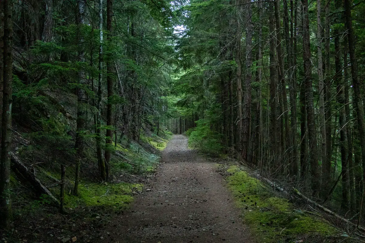
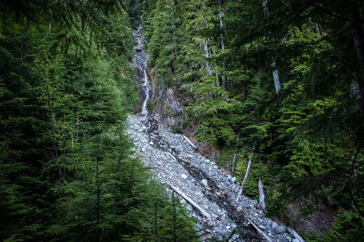
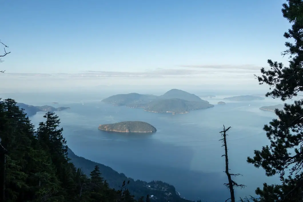
As you continue along, the trail will level out and you’ll have partial views of Howe Sound to your right through the trees.
Keep an eye open for a junction on your left. After roughly an hour or 2.6 km, you’ll reach the junction for the Mount Harvey Trail. There are two metal, orange markers in the trees indicating the directions for Mount Harvey and The Lions. This is at roughly 690 meters of elevation.
At the junction, you’ll leave the main trail and head left, uphill on the singletrack trail towards Mount Harvey. If you reach a creek crossing / bridge, you’ve gone too far and missed the Harvey junction. If so, you will need to back-track about 200 m.
The trail will immediately begin climbing uphill at a steep grade. There are orange tags in the trees that you will follow during the exhausting ascent. To reach the bottom of the Harvey ridge from this point is a roughly 2 km uphill battle.
Within the first few minutes of climbing up the trail, you’ll notice a short side trail leading to a creek on the right. This is Alberta Creek. You can take this short detour to get a view of Alberta Creek Falls. Continuing, the trail becomes rocky and more technical.
There are a lot of switchbacks as you make your way up. At several points, you’ll have obstructed views of Howe Sound and Bowen Island behind you.
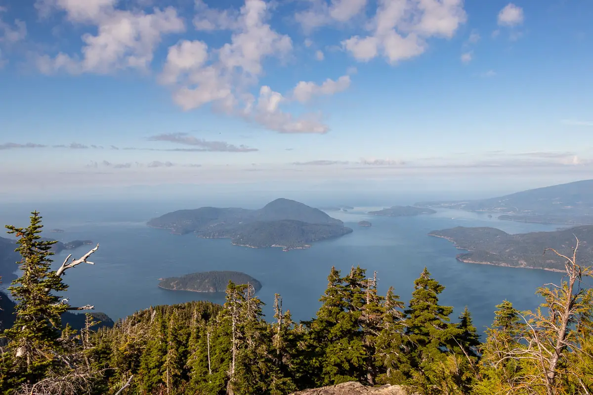
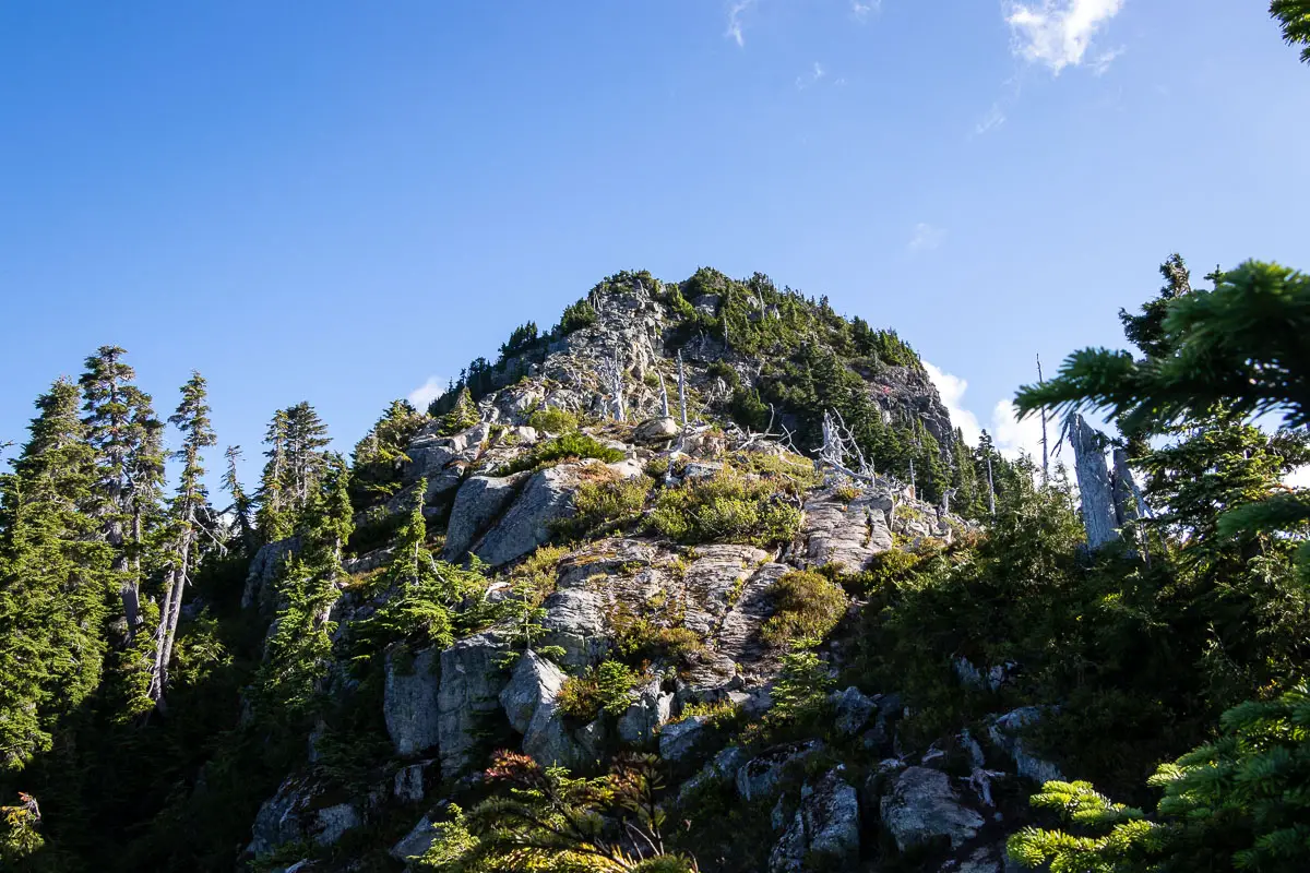
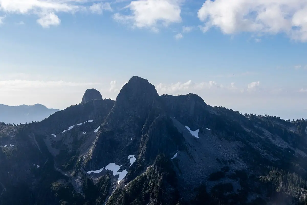
There are lots of orange markers, but there are a few spots where you could go astray. Just make sure you see an orange marker every few minutes. The trail is well-maintained and well-defined, and you should be able to keep on track without too much difficulty.
After much huffing and puffing, you’ll finally emerge onto the Mount Harvey ridge after about 4.5 kilometres or 2.5 hours. Here, there will be a gorgeous view of the West Lion ahead of you.
From here, you have about an hour or less remaining to reach the summit of Mount Harvey.
After the viewpoint of The Lions, find the trail which keeps heading uphill, to your left. The trail becomes more exposed from here as you head due north.
As you climb further along the ridge towards the Harvey summit, views will open up to your left. You’ll start to see Harvey summit to the north and then also the Tantalus Mountain Range, Howe Sound, and the Sunshine Coast to the west.
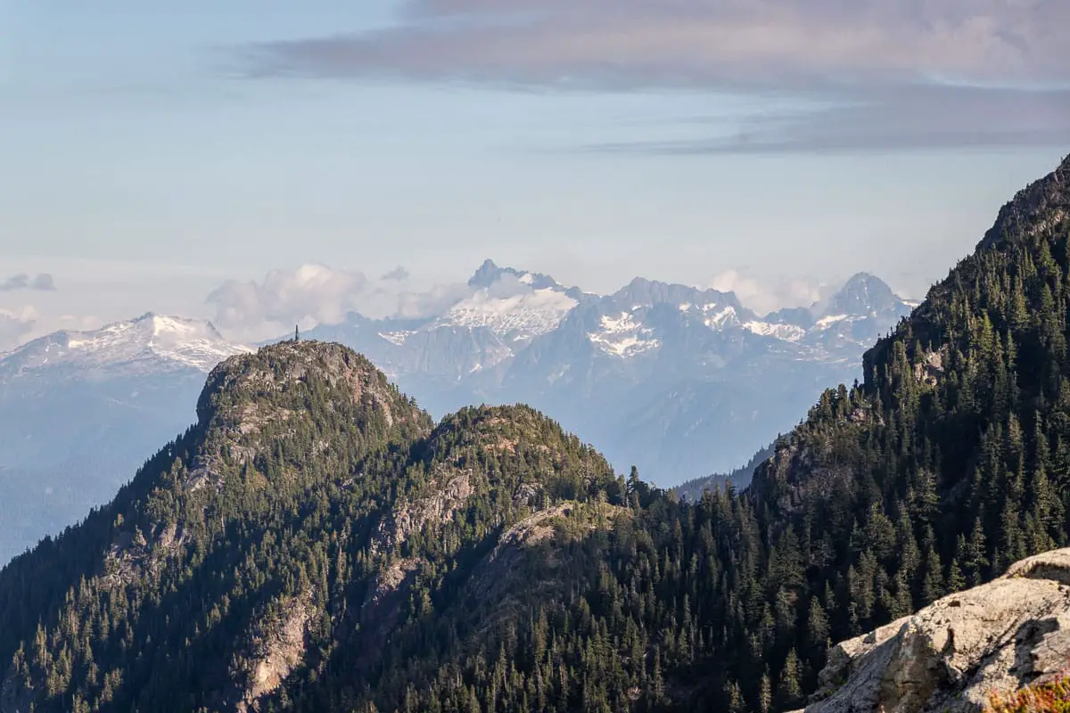
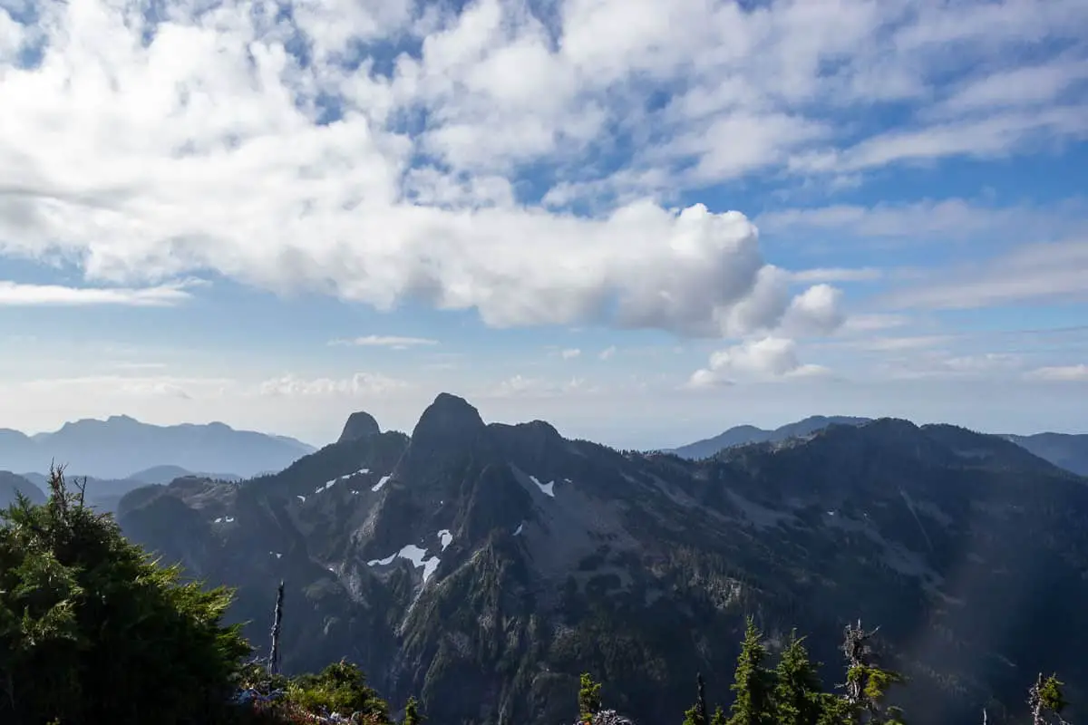
During the approach along the ridge, you’ll also see Harvey’s Pup to your left. During the right season, the ridge is coloured by beautiful wildflowers.
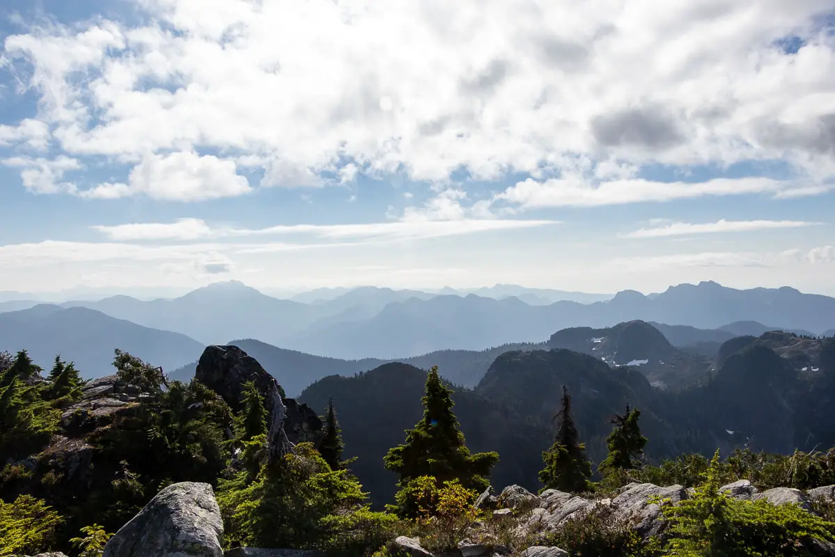
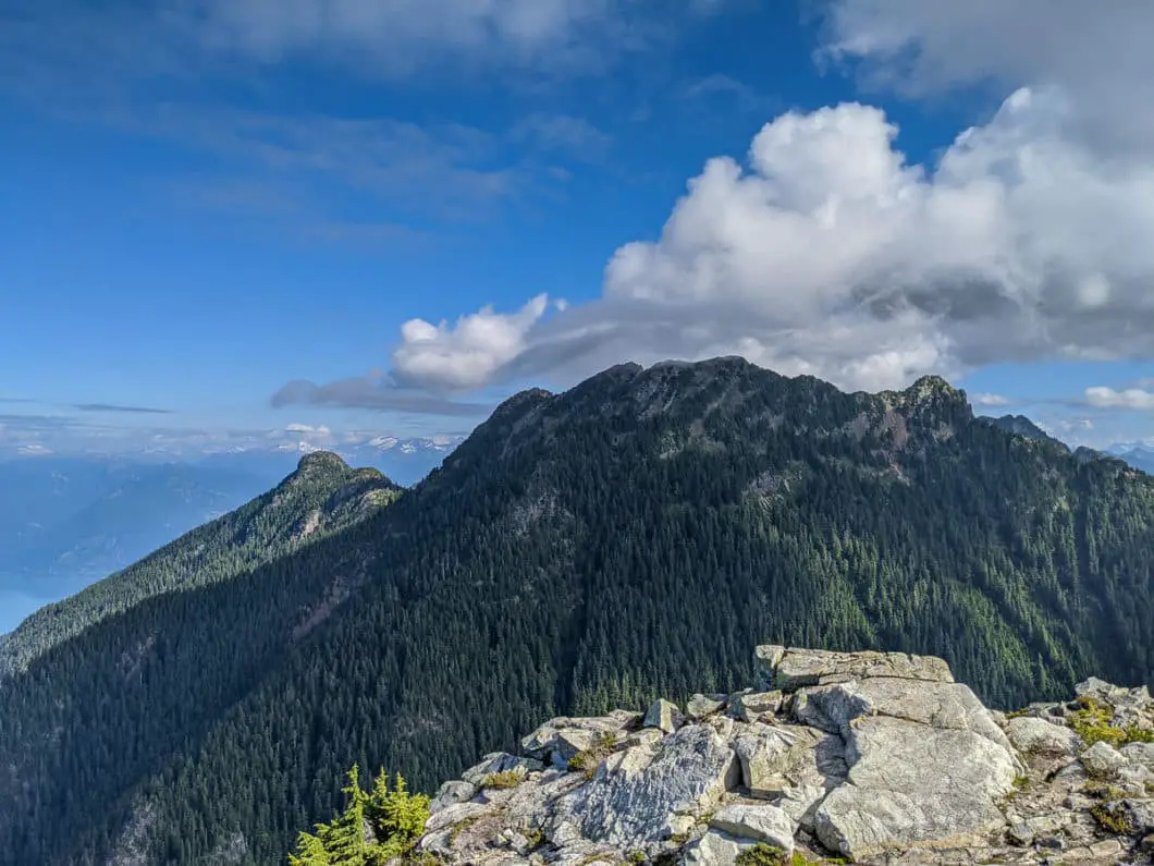
As you climb higher, you’ll start to get amazing views in all directions.
The last section of the hike is the most challenging. There is some light scrambling and you may have to use your hands to climb in a few spots. Pick your spots and go carefully.
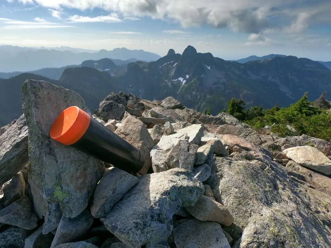
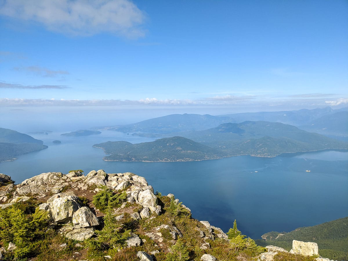
Your efforts will be rewarded as you reach the summit, obvious and marked by a cairn. Take caution walking around the summit as there are steep drop-offs. Enjoy the incredible views of Brunswick Mountain, The Lions, Howe Sound, Hat Mountain (with a communication tower), and countless mountains to the east. On a clear day, you can even spot Golden Ears and Mount Baker.
After enjoying the views, return to the parking area by retracing your steps.
Download the PDF version of this guide for offline use
Directions and Parking
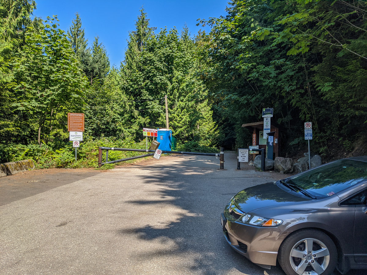
Take the Sea to Sky Highway (BC-99) north from Horseshoe Bay towards Lions Bay.
Take the Lions Bay Ave exit. Merge onto Oceanview Road and take a left onto Crosscreek Road. Take a right onto Center Road and a left onto Bayview Road. Follow Bayview Road all the way up to its end and turn left onto Sunset Drive. At the end of Sunset drive you will find a limited number (15) of pay-parking spots.
If parking is full, you’ll need to drive back down the road until you find a suitable parking spot east side of Mountain Drive or use the lower parking lot at the Lions Bay Elementary school.
Please refer to the Lions Bay website for the latest information on parking.
Google Map directions are here.
Other great hikes in this area
- Brunswick Mountain (difficult)
- The Lions (difficult)
- Tunnel Bluffs (moderate)
- View all hiking guides here


