Mt. MacFarlane & Pierce Lake – Table of Contents
- Hike Introduction
- Hike Statistics
- Mount MacFarlane Video
- Map and Elevation
- Hiking Route Description
- Directions and Parking
- Free PDF Download
- 360° Photosphere
Mt. MacFarlane Hike Intro
Mount MacFarlane is a difficult hike in the Cascade Mountains that offers spectacular scenery from start to finish. Mount MacFarlane sits beside Mount Pierce at the northern end of the Slesse divide in Chilliwack. The hike to the summit of Mt. MacFarlane follows the Pierce Lake Trail.
On the route to Mount MacFarlane, you pass by Lower Pierce Lake and Upper Pierce Lake, both of which are stunning. The MacFarlane summit has panoramic views of the Fraser Valley, Mount Slesse, the Cheam range, and more.
Backcountry camping is allowed at Upper and Lower Pierce Lakes. The lower lake is the more popular campsite. While the upper lake is more scenic, it is also more difficult to reach with backpacking gear. It is also exposed to wind and can be much colder. There is a tent pad at the upper lake, however, it was broken and unusable as of 2020.
The hike to the summit of Mount MacFarlane is steep, difficult and requires some scrambling. However, the hike can be shortened by stopping at Lower Pierce Lake or Upper Pierce Lake. Both lakes are worthwhile objectives of their own.
As the final stretch of climbing to the summit of Mount MacFarlane requires some scrambling, it is the safest if completed in dry conditions. Long and difficult, this hike is best left for experienced hikers.
Mt. MacFarlane Hike Stats
Rating: Difficult
Distance: 20 km
Net Elevation Change*: 1,780 m
Highest Point: 2,080 m
Time Needed: 10+ Hours
Type: Out-and-back
Season: July – September
Dogs Allowed: Yes, on leash
Est. Driving Time from Vancouver: 1.5 Hours
Trailhead Coordinates: 49.086052, -121.676886
*For a better understanding of the stats and difficulty rating, check out the Hiking Guides page for details. Always carry The Essentials and fill out a trip plan.
Mount MacFarlane / Pierce Lake Video
Here is a 6-minute video of our experience on this hike!
Mt. MacFarlane Hike Map and Elevation
Mount MacFarlane
Profile
Mount MacFarlane Hiking Route
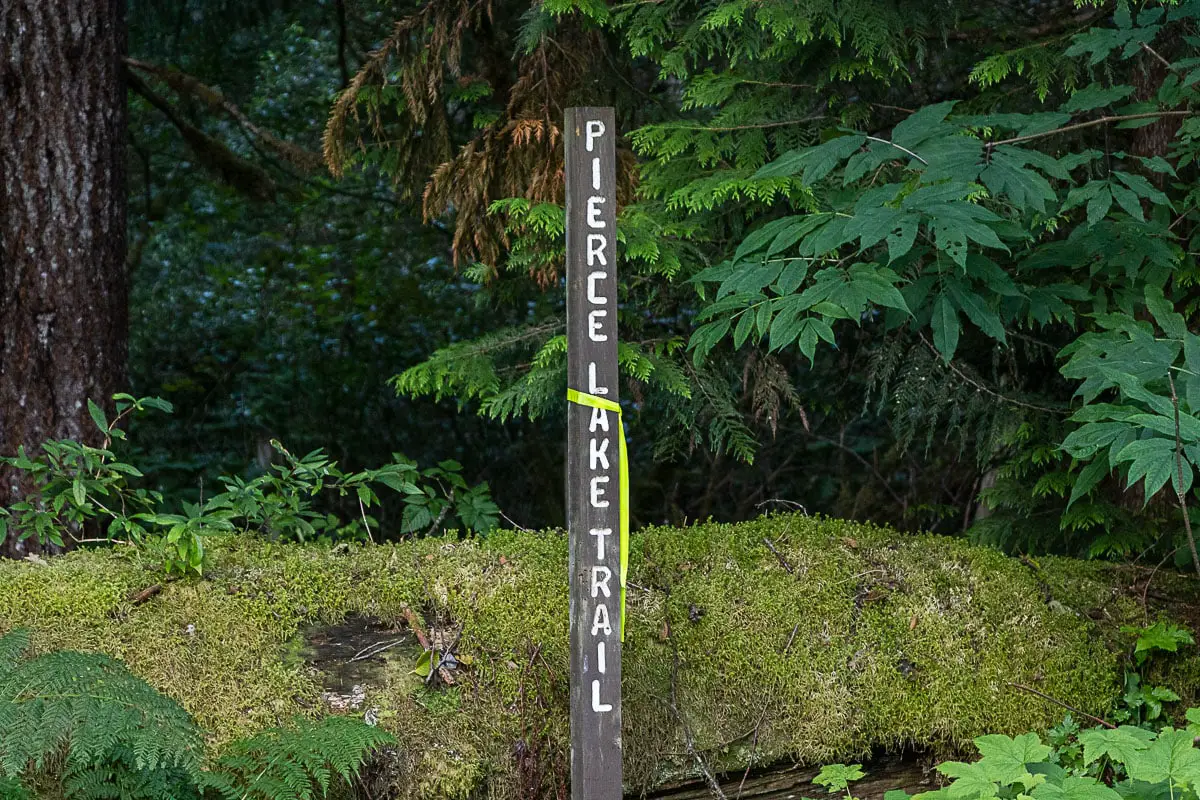
From the parking lot off the side of the Chilliwack Lake Road (directions), walk towards the gate and down the dirt road. On your right, after about a hundred meters, you’ll see a sign that marks the start of the Pierce Lake Trail.
Walk onto the flat, well-groomed trail. The trail is heavily forested, and there will be orange markers in the trees.
Soon, the trail narrows and will start climbing uphill sharply. The Pierce Lake Trail is easy to follow and there will continue to be orange markers in the trees.
After a few minutes of climbing, you’ll cross over a logging road. The trail picks up immediately on the other side.
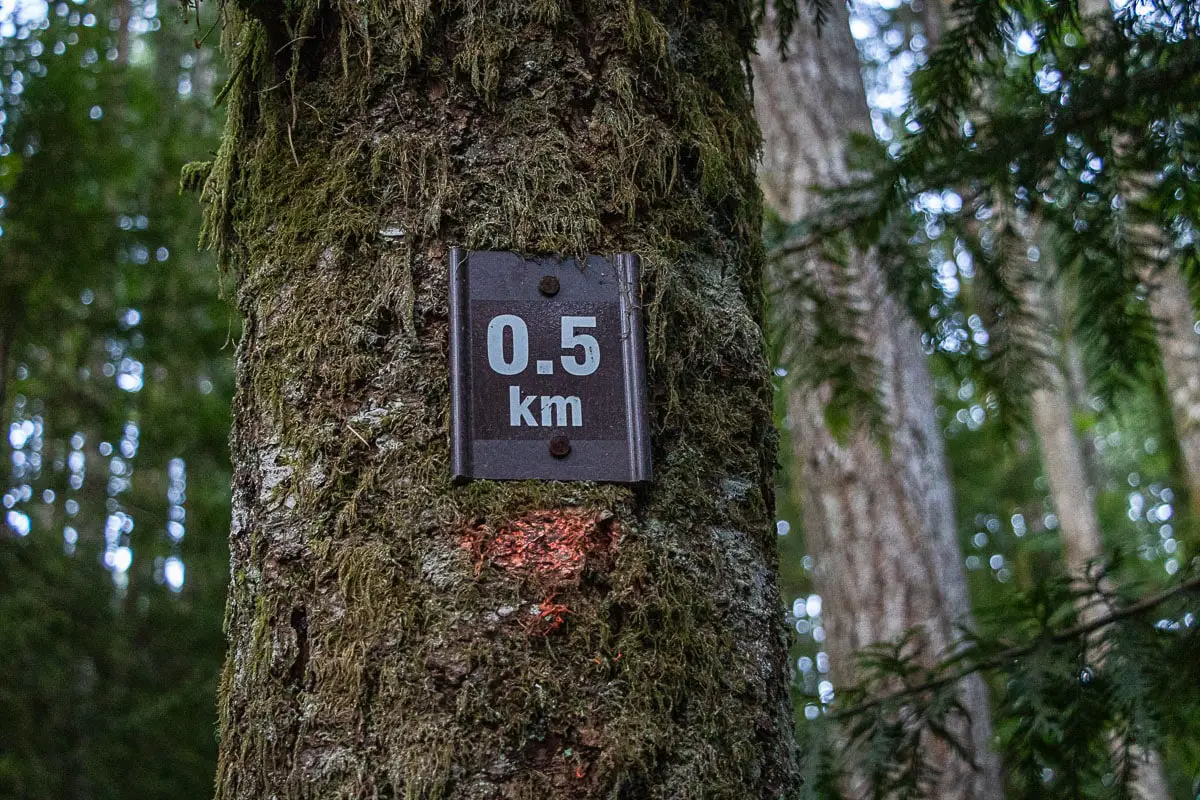
You will pass by a 0.5-kilometre marker in one of the trees as you walk up the trail.
As you continue to climb, you’ll begin to get partial views across the Chilliwack River Valley through the trees to your left.
After roughly an hour and a quarter, or nearly 3 kilometres, you’ll come to a small boulder field. Make your way across the large rocks. You will have views to the northeast and in the distance, you can catch a glimpse of Baby Munday Peak and Knight Peak. You’ll hear water rushing off ahead of you as well.
The trail will re-enter a dense section of forest and drop downhill towards Pierce Creek. You will reach Pierce Creek and cross over it.
After the creek, the trail will flatten for a while but then it will soon start climbing up sharply again. There will be a series of switchbacks here.
There will be a 3.5-kilometre marker in one of the trees as you continue to climb up the trail. Soon after, the trail will emerge into an area full of birch trees.
The trail will climb up sharply again and you’ll come to a partial clearing. Here you will have a view into the Fraser Valley to the west. You will pass by a second lookout on the side of the trail.
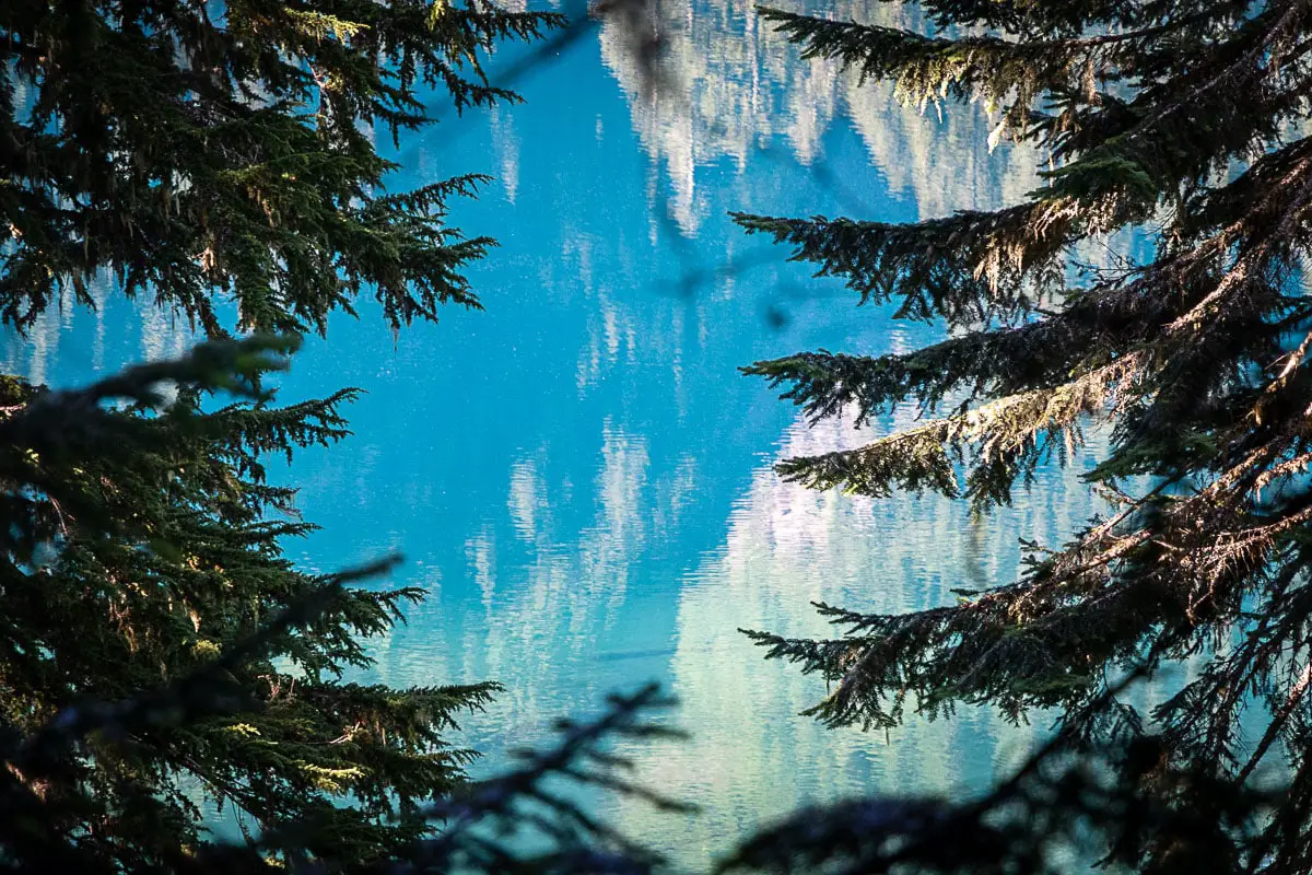
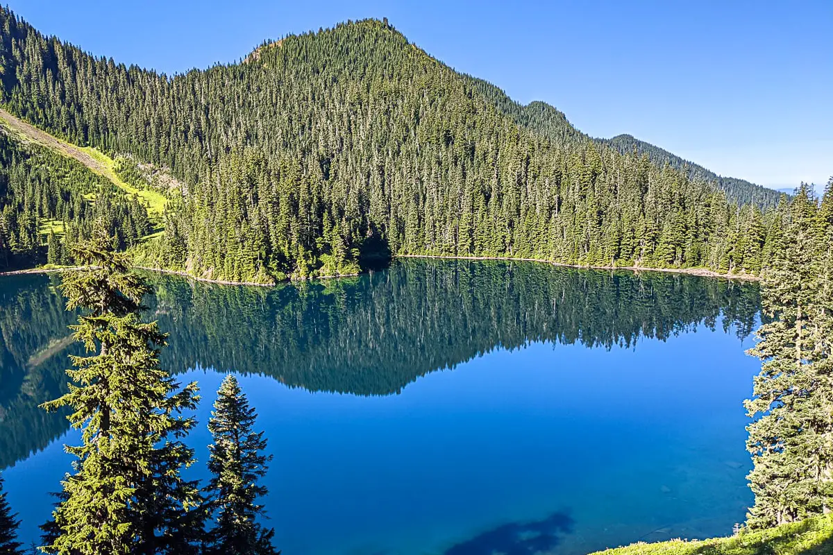
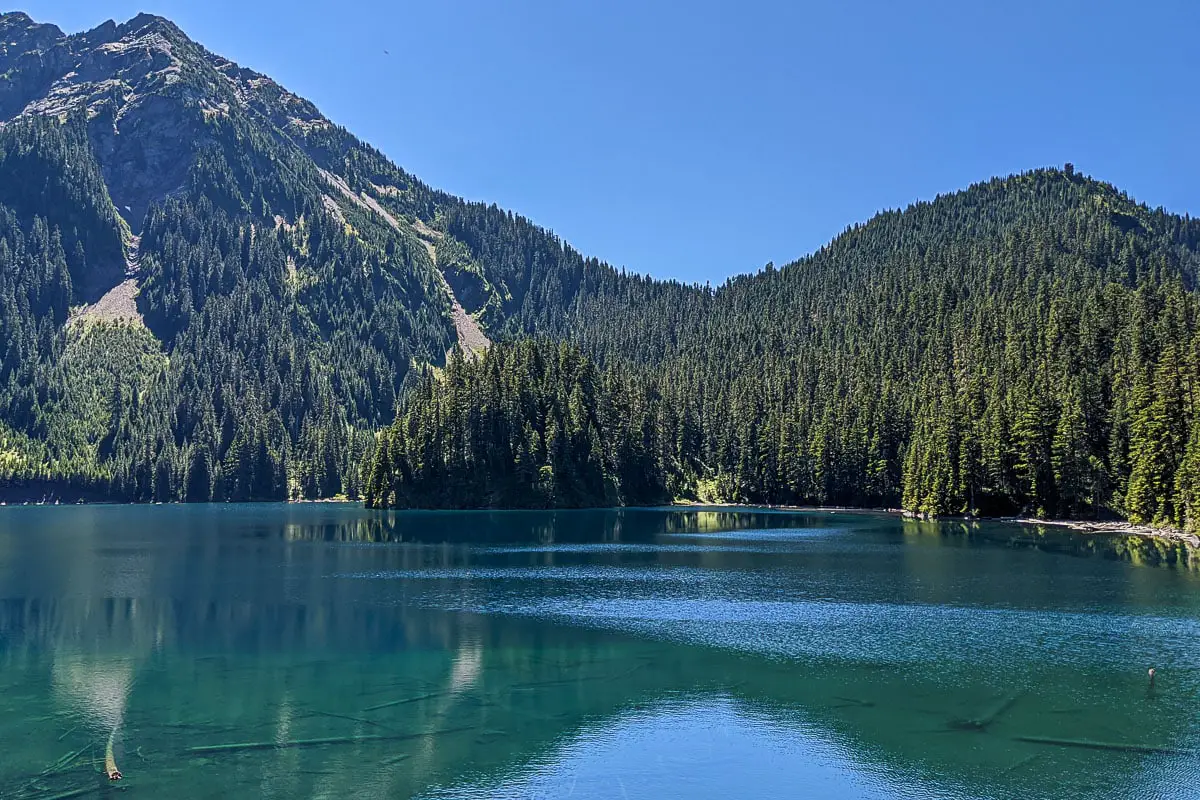
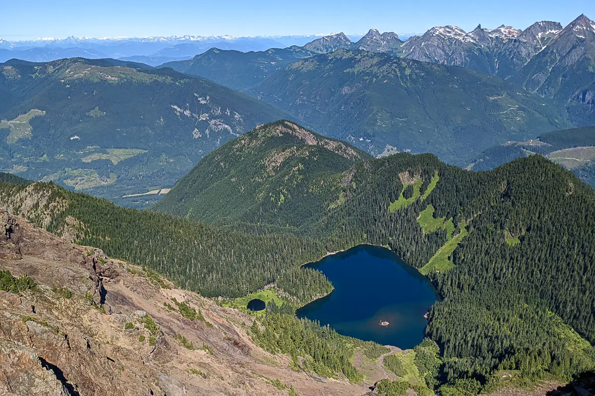
After about 2.5 hours, 5.7 kilometres, you’ll reach Lower Pierce Lake. Pierce Lake sits at 1,357 m and has a maximum depth of 34 metres (111 feet). The shoreline around the lake is rocky, but there is a small wooden dock you can walk onto to enjoy the view over the lake.
There are Rainbow Trout in the lake and fishing is possible.
If you want to go down to the lake, you can take the side trail to your right. Otherwise, follow the flagged trail which flanks the east side of the lake to continue onward.
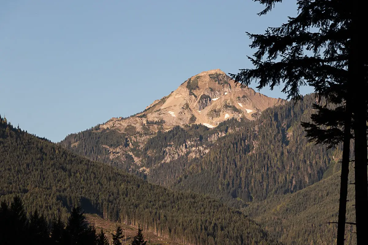
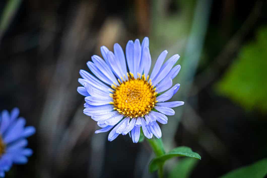
You will emerge from the trees with an incredible view of Mount MacFarlane above and the Lower Pierce Lake to your right. In the late summer, there will be wildflowers here. The trail crosses over a hillside that is full of brush and flowers.
Leaving the lake, you will cross over a stream and there will be some boardwalks. You’ll reach a small meadow and see a large waterfall up ahead which originates at Upper Pierce Lake.
Cross over the creek at the bottom of the waterfall. The trail climbs up a section of scree to the left of the waterfall. You’ll find some flagging where the trail goes into the trees to the left.
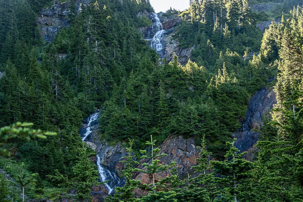
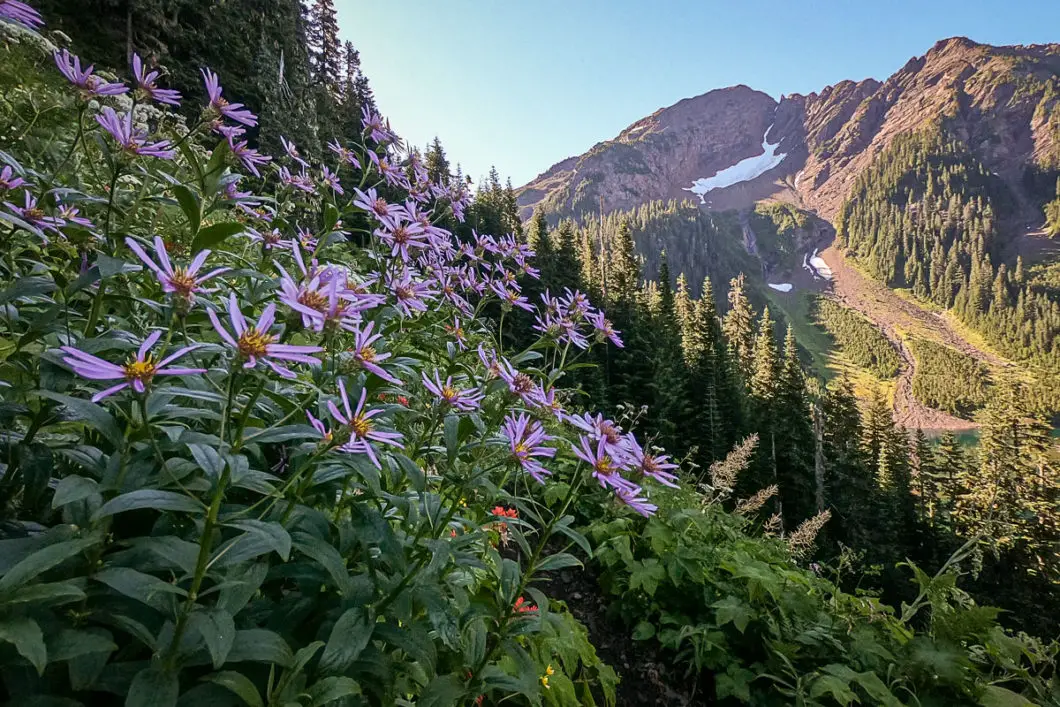
As you start climbing up the trail from the waterfall, it becomes very steep. You’ll have views of Lower Pierce Lake below as well as the surrounding mountains. You’ll pass some open areas and the trail switchbacks to the right at a large scree slope, bearing towards Mount MacFarlane. As you climb higher and higher, you get more views of the lake below.
You’ll come to a section with some light scrambling. There will be a rope there to help you climb up.
There’ll be a large scree slope ahead of you and the waterfall will be to your right. Initially, you’re going to walk towards the waterfall and then follow the path up which hugs the right-hand side of the boulder field.
You’ll see some cairns with orange flags which you’ll follow up on the right-hand side of the boulder field, with Pierce Creek to your right.
Finally, you’ll emerge into the alpine by the upper portion of Pierce Lake. This is a rocky section with no clear trail, but it’s still marked periodically.
There will be views of the Cheam range behind you, and you will still get glimpses of Lower Pierce Lake. Keep climbing up. It’s not too much further before you reach the upper lake.
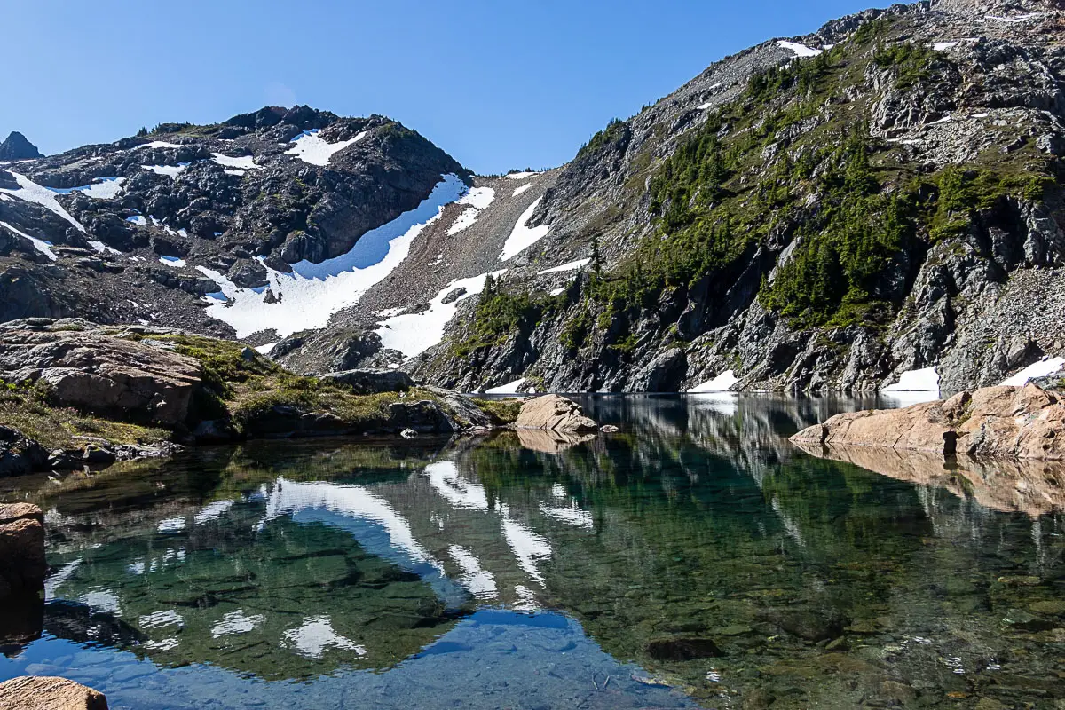
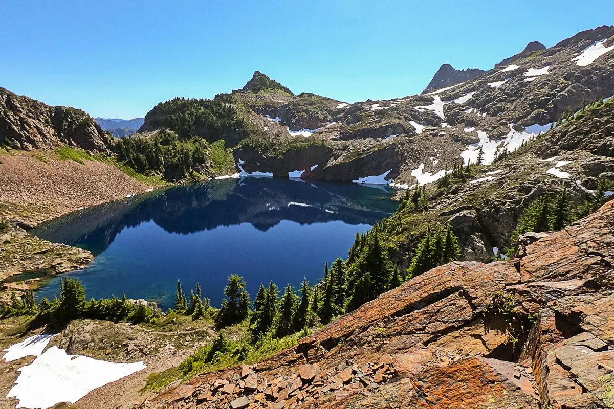
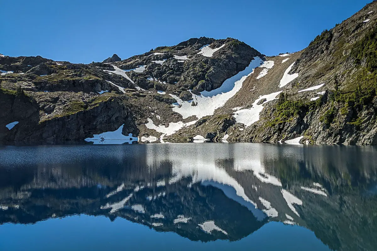
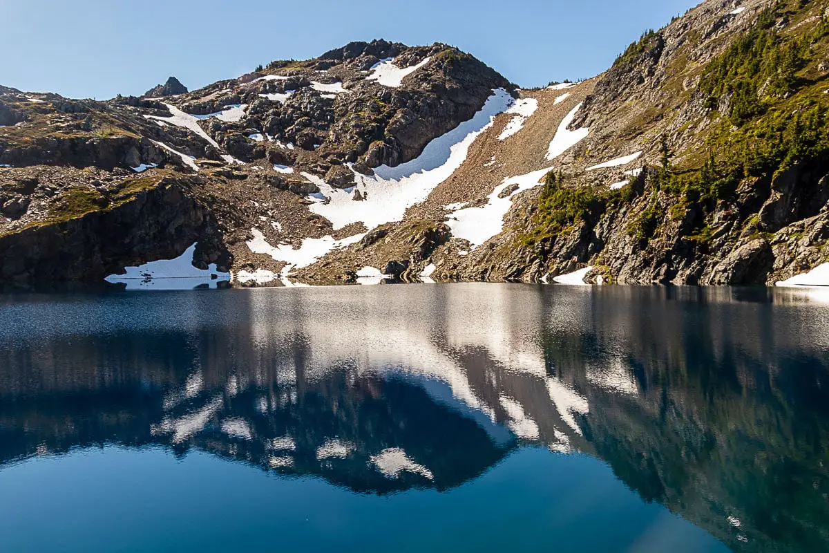
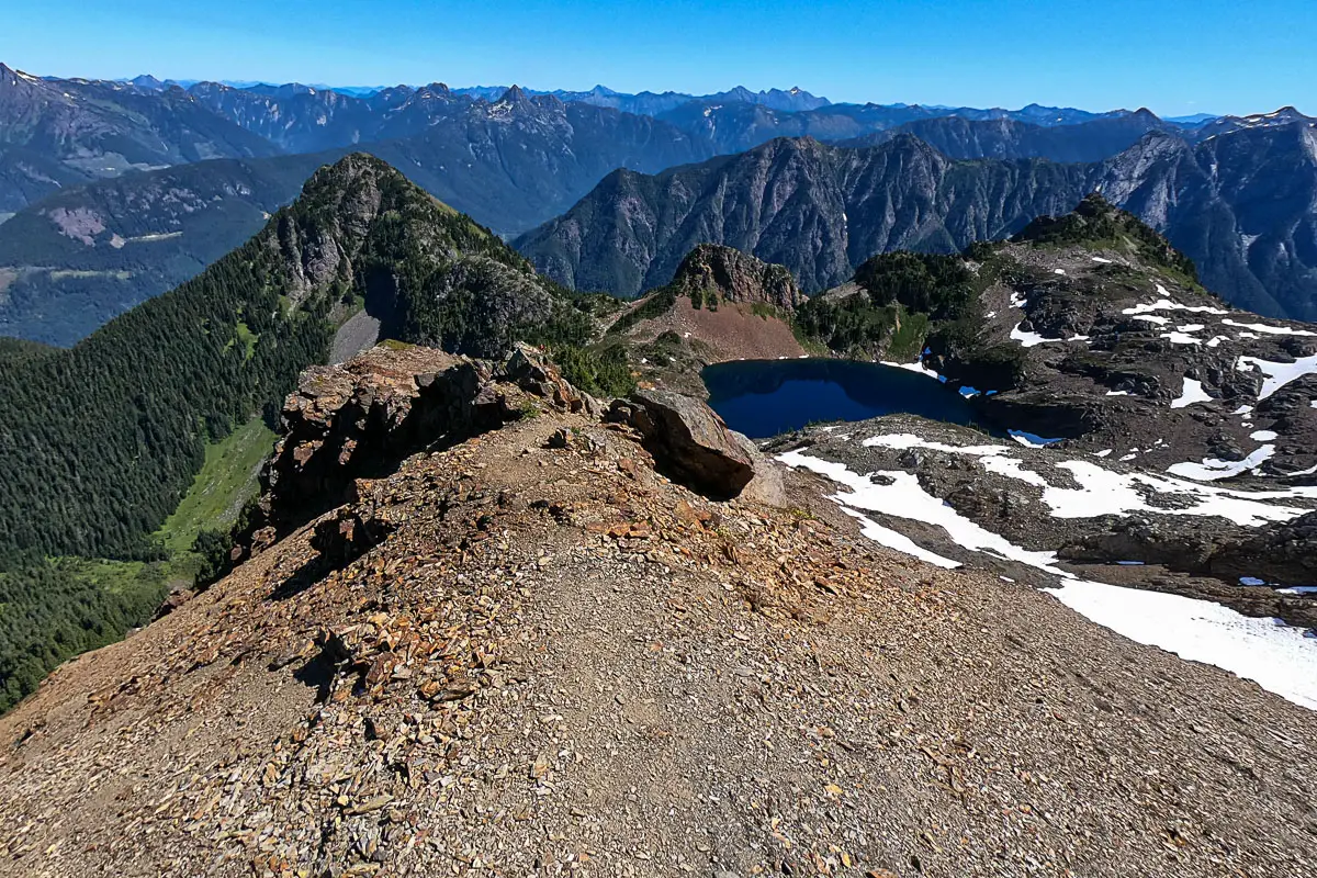
Upper Pierce Lake is incredibly scenic, sitting in a cirque between Mount Pierce and Mount MacFarlane. It is frozen most of the year, but in the later summer, its water is a brilliant deep blue. The Cheam Range can be seen from here, and for those not wanting to summit MacFarlane itself will be satisfied with reaching this point.
If you don’t want to continue to the summit of Mount MacFarlane, you can rest here and enjoy the view before returning. If you want to continue to the summit, you will need to budget about another hour to reach the top from this point. The ascent is steep and difficult. If you’re considering going or not, err on the side of caution.
The final section follows the ridge straight up from the lake. As you climb up Mount MacFarlane, the ridge will narrow and become more exposed. There’s a sheer drop off to your right.
As you climb, an incredible view of the blue Upper Pierce Lake will open behind you. Take your time on the most difficult sections of scrambling, and find the best route up to the summit. It is steep and you may need a few breaks, but the views make for a breathtaking distraction.
Cool fact: “The mountain was named to honor Royal Canadian Air Force First Lieutenant Ronald E. MacFarlane, from nearby Chilliwack, who was killed in action on December 16, 1943, at age 21”. [source]
At the summit, you can see both Lower Pierce Lake and Upper Pierce Lake. You’ll see Mount Pierce nearby on the other side of Upper Pierce Lake.
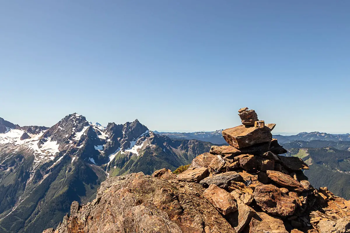
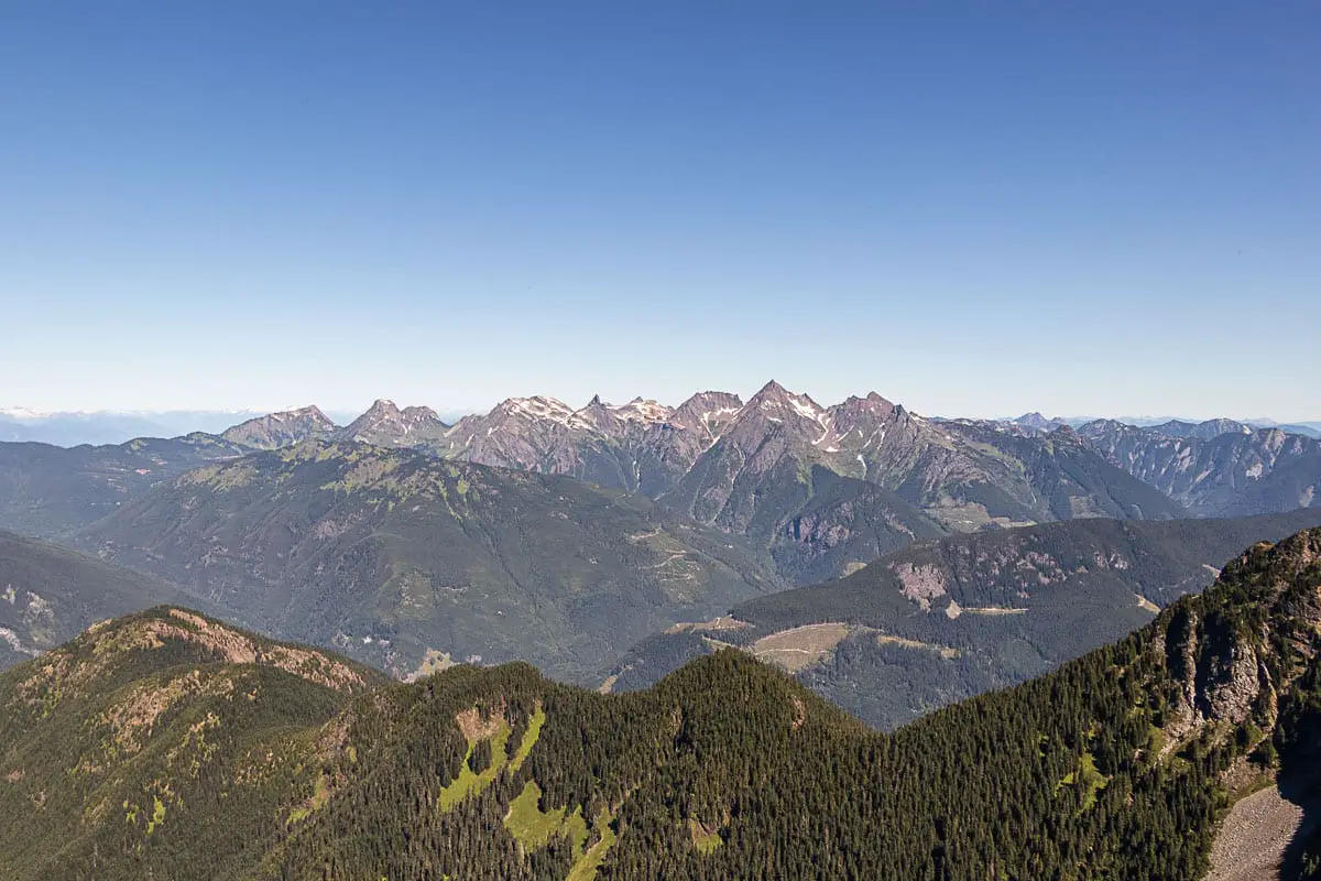
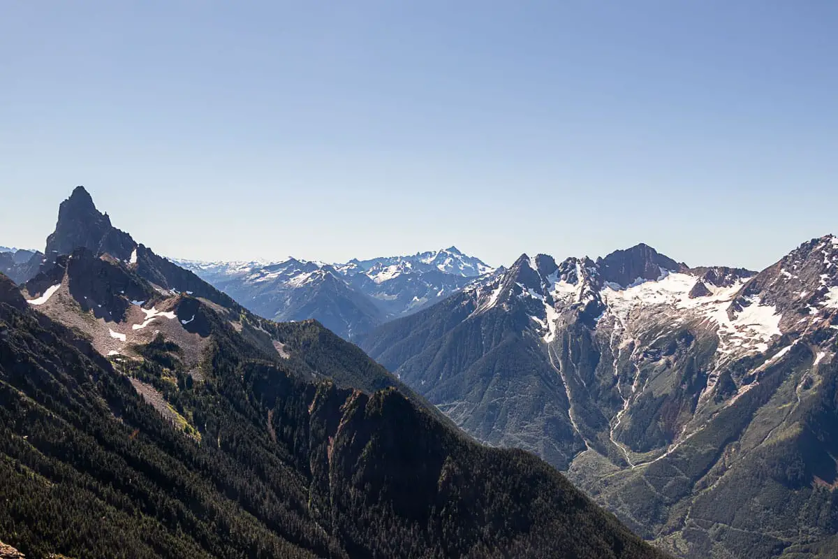
You have views into the Fraser Valley, Chilliwack River Valley, and the Cheam Range (Lady, Baby Mundy, Cheam, Welch, The Still peaks, and more).
The unmistakable Mount Slesse is seen prominently to the south. Crossover Peak, Mount Larrabee, American Border Peak, and the Canadian Border Peak can all be seen to the south also.
Mount Redoubt and Mount Outram can also be spotted, among a myriad of other mountains in all directions.
There is a cairn at the summit, with some space to walk around and check out the views from all sides. When ready, carefully make the descent back to Upper Pierce Lake, and retrace your steps back to the parking area.
Download the PDF version of this guide for offline use
Directions and Parking
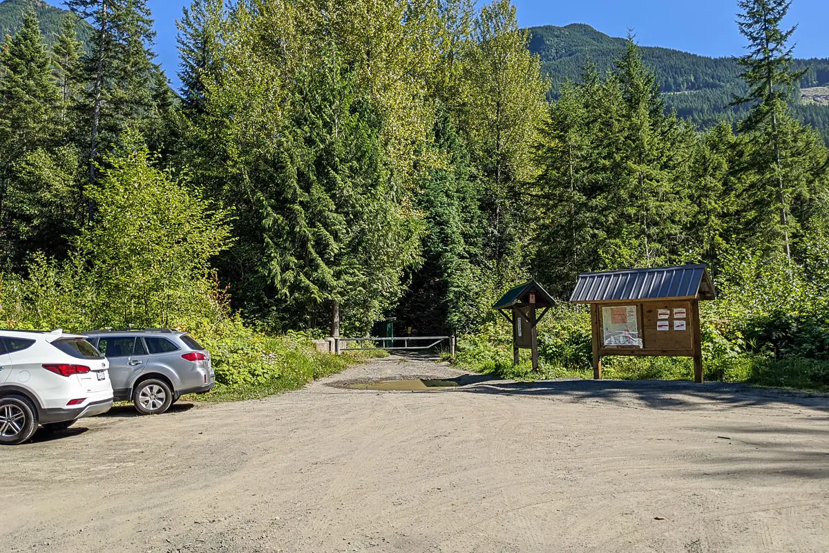
Take the Trans-Canada Hwy/BC-1 east from Vancouver. Exit #104 onto No. 3 Rd in Abbotsford towards Cultus Lake. Follow signs for Cultus Lake and take a left onto Yarrow Central Road. Yarrow Central Road will turn into Vedder Mountain Rd. Cross the bridge over the Chilliwack River and turn right onto Chilliwack Lake Rd.
Follow Chilliwack River road for 22.5 km (about 20 minutes) and the parking area will be on your right, just off the road.
Google Map directions are here.
Other great hikes in this area
- Lindeman Lake (moderate)
- Mount Thurston (moderate)
- Elk Mountain (moderate)
- View all hiking guides here


Eddy
Hey Karl, awesome video. We are planning this hike in couple days. How’s the road up to the trailhead. Do you need a high clearance vehicle?
Cheers!
Eddy
Karl W
Thanks Eddy. Nope the road is fine, pavement all the way to the parking area. The hike is a challenge though! Enjoy!
Karly B.
Hi Karl!
Can I ask what month you were hiking this trail shown in the photos? Second to that, have you ever hiked it in the winter/ spring- orrrr April per say?
Thanks!
Karly
Karl W
Hi Karly,
I hiked this in August. There will definitely still but lots of snow up there, and I would recommend waiting until July. It’s a high elevation hike so the snow will linger for quite a while, plus we’ve had a pretty cold spring so far.
It’s worth the wait!
Emma Harrington
For the campsites, are there many tent pads/are there tent pads?
Must they be reserved?
Thanks in advance,
Emma.
Karl W
Hi Emma, I wish I had taken better note of this when I was up there. From what I recall, there was one tent pad near Upper Pierce Lake, and they were in very bad shape.
Most people camp near Lower Pierce Lake, and there were a good number of spots, but I can’t recall if there were actual tent pads. I don’t think there were pads.
And it is first come first serve. There are no reservations.