Mount Thom – Table of Contents
- Hike Introduction
- Hike Statistics
- Mount Thom Video
- Map and Elevation
- Hiking Route Description
- Directions and Parking
- Free PDF Download
Mount Thom Hike Intro
Mount Thom summit is a popular hike in the Promontory neighborhood of Chilliwack.
The hike is relatively short but provides plenty of elevation gain and a good workout. This makes Mt. Thom a popular destination for locals who want to get into nature and work up a sweat, without doing a full-day hike.
Mount Thom is popular with trail runners, families, and locals who want to get a quick after-work hike during long summer evenings.
While there are more exciting hikes around, Mount Thom provides a peaceful outing. It has fantastic views of Chilliwack and the Fraser Valley from the summit.
Covering 70 hectares, there are many trails in Mount Thom Park so you can extend or shorten this hike from the route described here. The route described below starts at Sylvan Drive, follows the Thom Creek Trail and does a short loop at the summit before returning.
If you want to access the lookout without the effort of hiking up, you can park along Churchill Parkway near the top of the mountain. From there, there is a trail that connects to the Lookout Loop Trail near the top of Mount Thom. Hiking from this way makes for about a 45-minute outing.
Mount Thom Hike Stats
Rating: Moderate
Distance: 8 km
Net Elevation Change*: 290 m
Highest Point: 474 m
Time Needed: 2 .5 Hours
Type: Out-and-back
Season: Year-round
Dogs Allowed: Yes, on leash
Est. Driving Time from Vancouver: 90 Minutes
Trailhead Coordinates: 49.104485, -121.919623
*For a better understanding of the stats and difficulty rating, check out the Hiking Guides page for details. Always carry The Essentials and fill out a trip plan.
Mount Thom Video
Here is a 3-minute video of our experience on this hike!
Mount Thom Hike Map and Elevation
Mount Thom Hike
Profile
Mount Thom Hiking Route
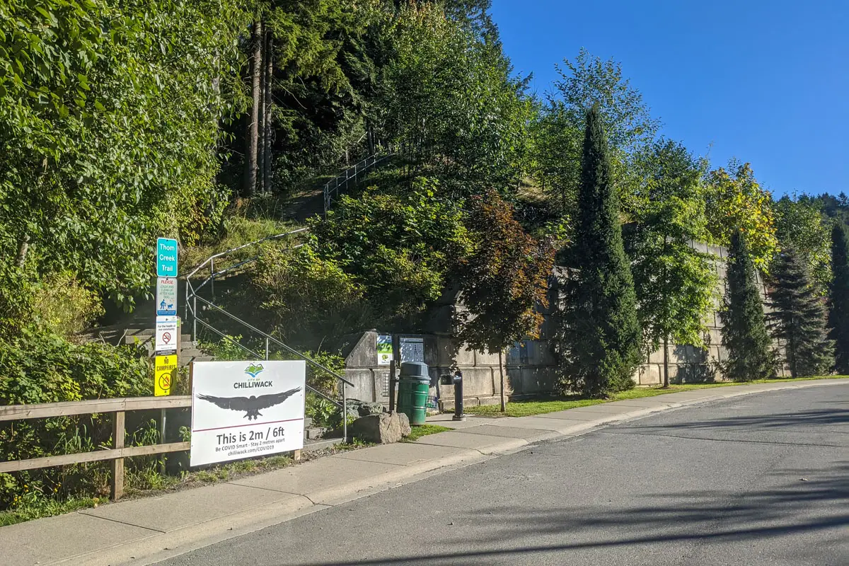
Start the hike parked at the trailhead at Sylvan Drive (directions). If you want to add more distance, you can start further down the trail at the bottom of Thom Creek Drive.
There is an outhouse and a trail map here with information about the park. Go up the set of stairs that begin next to the map to begin the Thom Creek Trail. There are 130 stairs (they are labeled every 10 steps). As you come to the top of the stairs, you will already begin to have some nice views into the Fraser Valley.
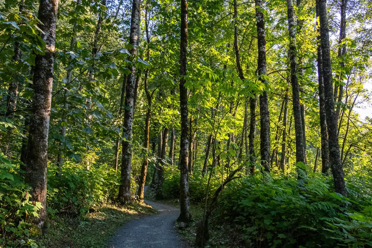
The trail at the top of the stairs is a gravel double-track path. From here, the path climbs uphill and there the residential area will be on your right.
You’ll come to a junction where it is marked for Mount Thom Summit to the left. It is marked for one kilometre (marked from further down the Thom Creek Trail, but we’ve only gone about 500 meters). Go left, and the trail continues climbing uphill.
There are many junctions and trails on this hike but most of them are well-marked.
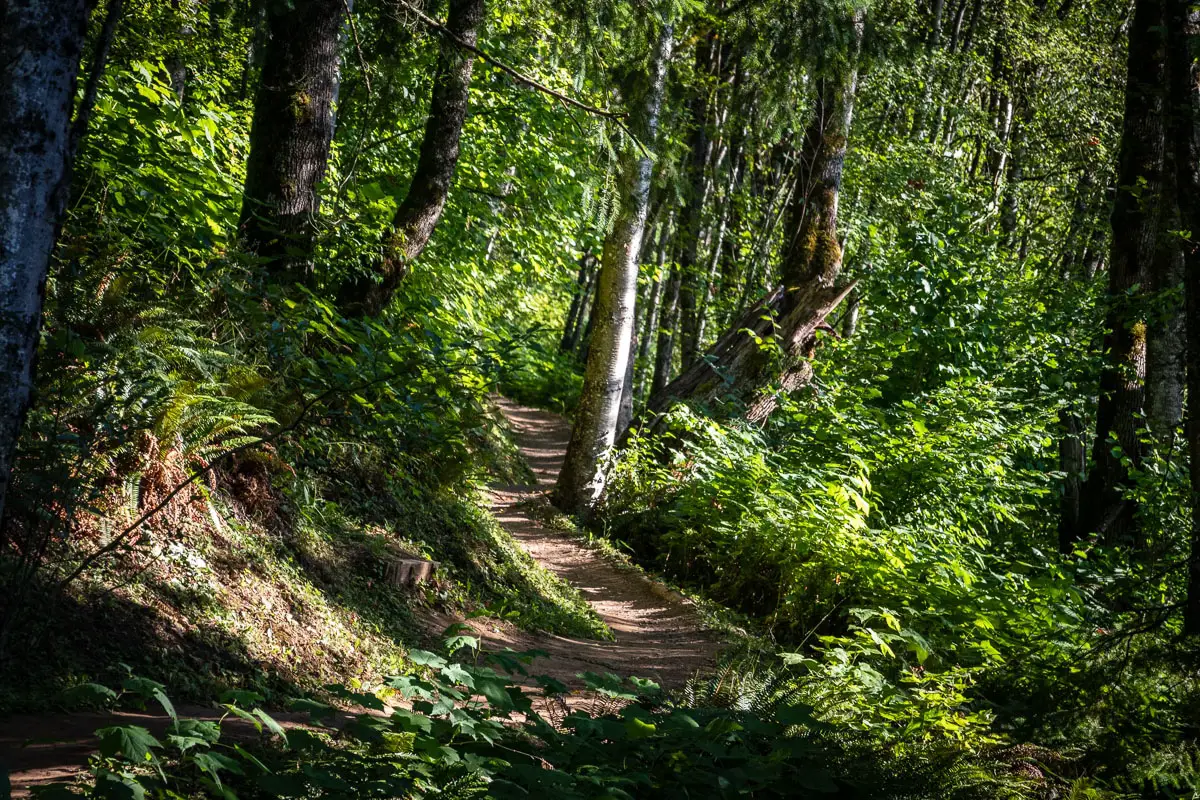
The trail levels out and begins rolling up and down. You’ll have partial views of the Fraser Valley through the trees on your left. The trail narrows, but remains free of tree roots and is easy to follow.
You’ll pass the two-kilometre marker before the trail starts to climb uphill more steeply once more. You will continue to have views into the valley to your left.
Shortly after the two-kilometre marker, you come to a junction marked for Thom Summit and also the Summit Bypass and Karvers Trails. Go right here, at the switchback.
After five to ten minutes of walking, you will come to another switchback.
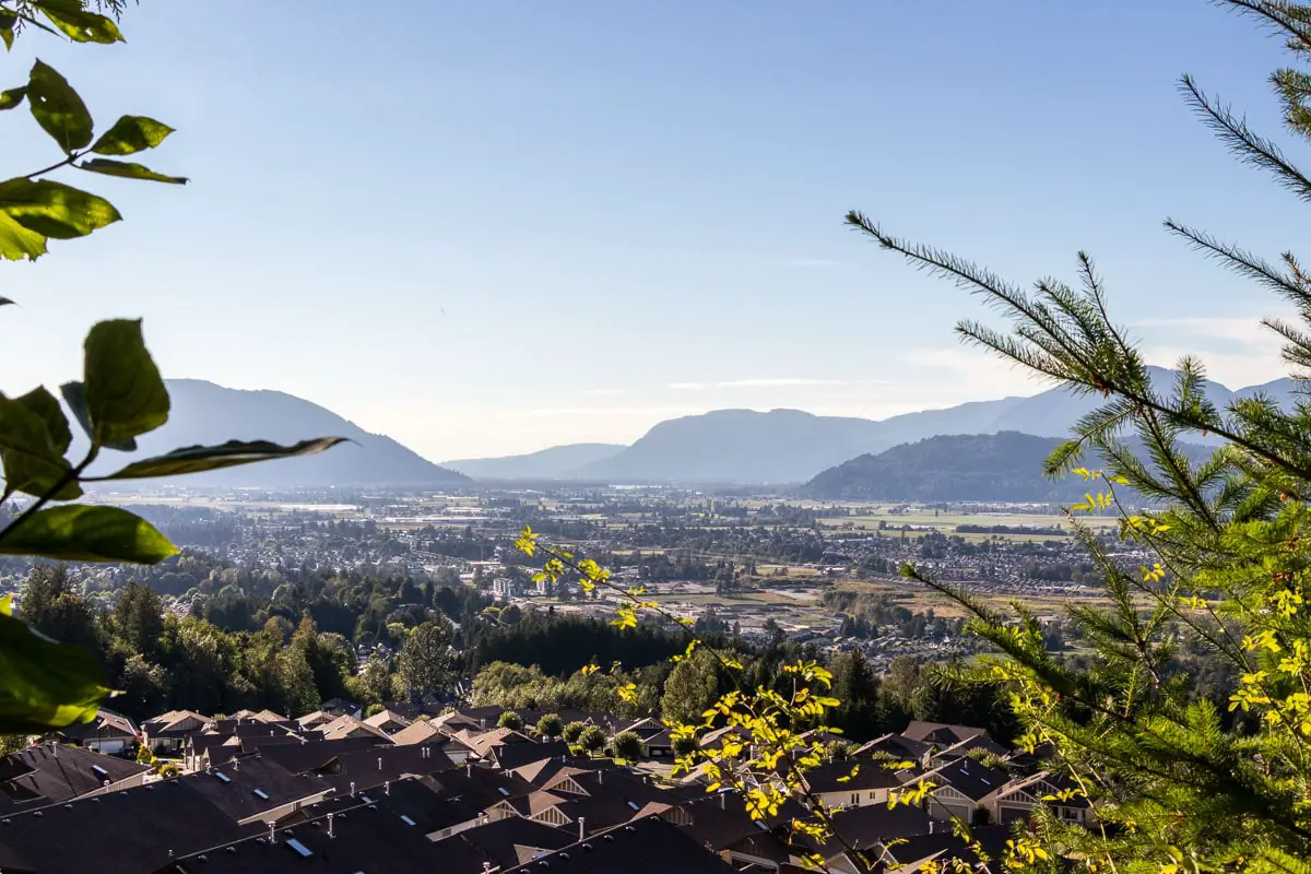
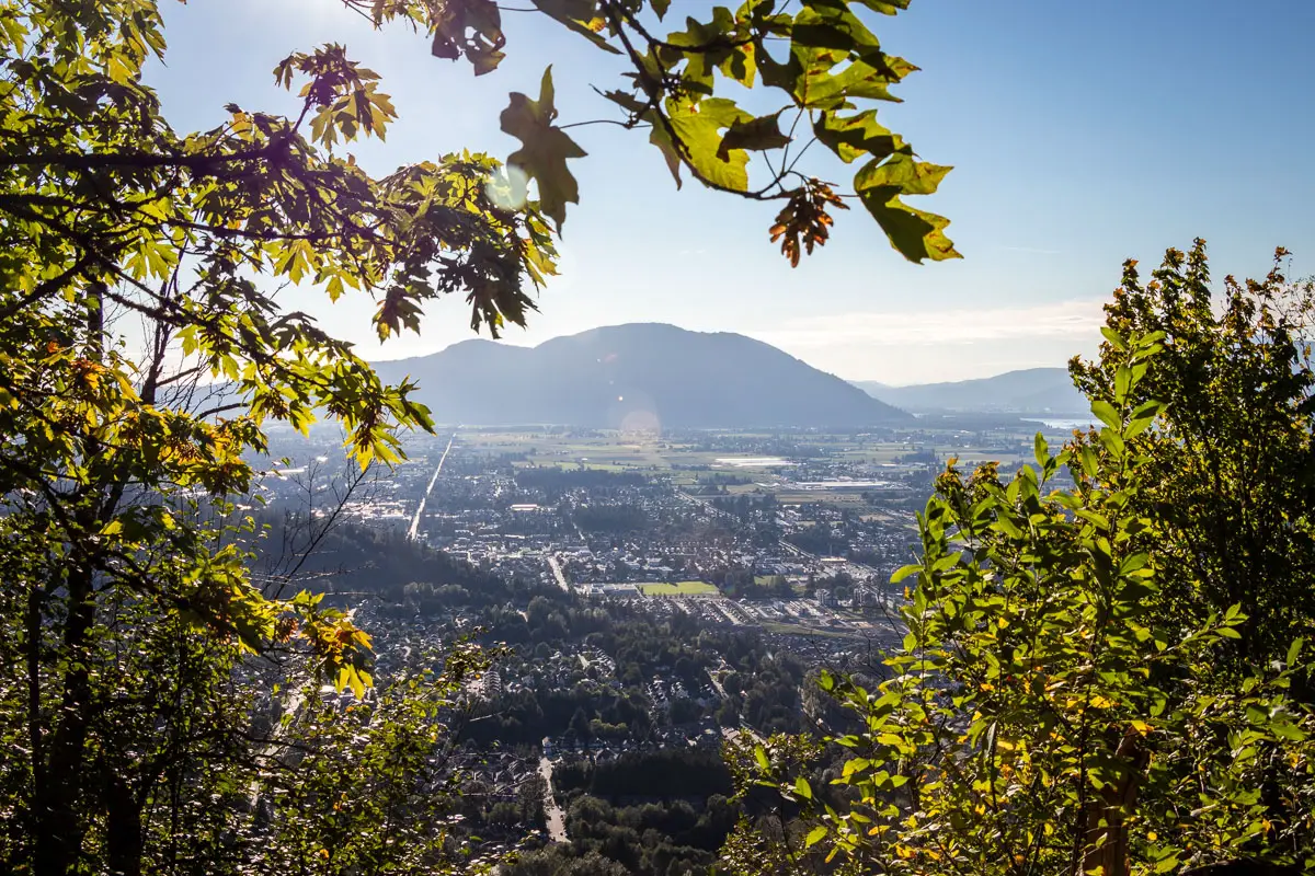
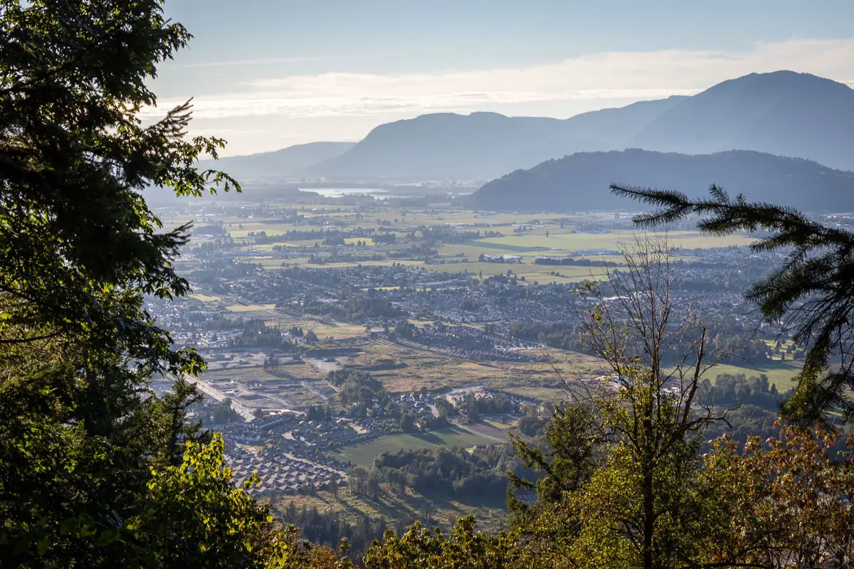
About 45 minutes into the hike, you’ll come to a crest on the trail with a nice view of the Fraser Valley and Chilliwack’s Promontory neighbourhood directly below.
After five more minutes, you will come to another junction. Go right, where it’s marked for Mount Thom Summit.
You’ll quickly come to yet another junction. The left is marked for Churchill Parkway and Forester Road. Go right, where it’s marked for the Mount Thom Summit.
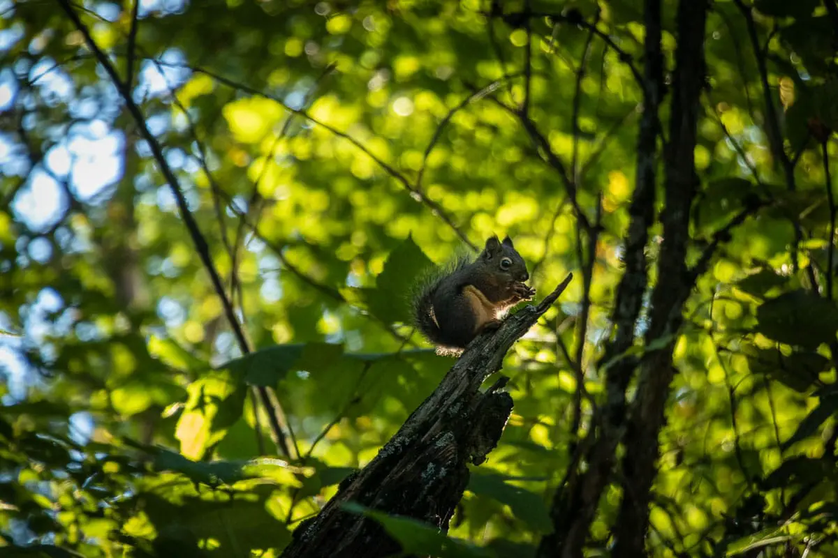
Next, you’ll come to a three-way split in the trail. Left is marked for Ridgeline Trail. Stay to the right, on the Lookout Loop Trail.
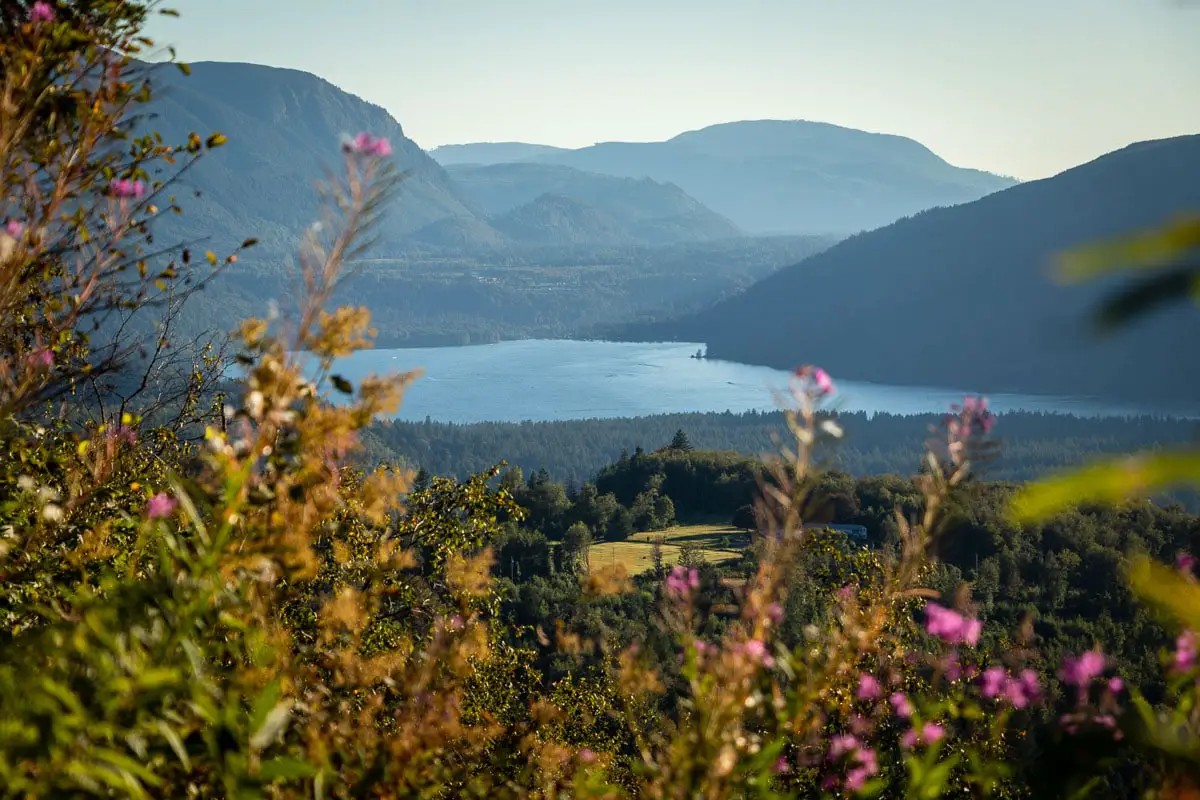
You will come to a lookout with a bench. Here, there is a nice view of the valley. You can also see Cultus Lake to the left. Enjoy the view, then follow the trail a little further up a hill to reach the final lookout.
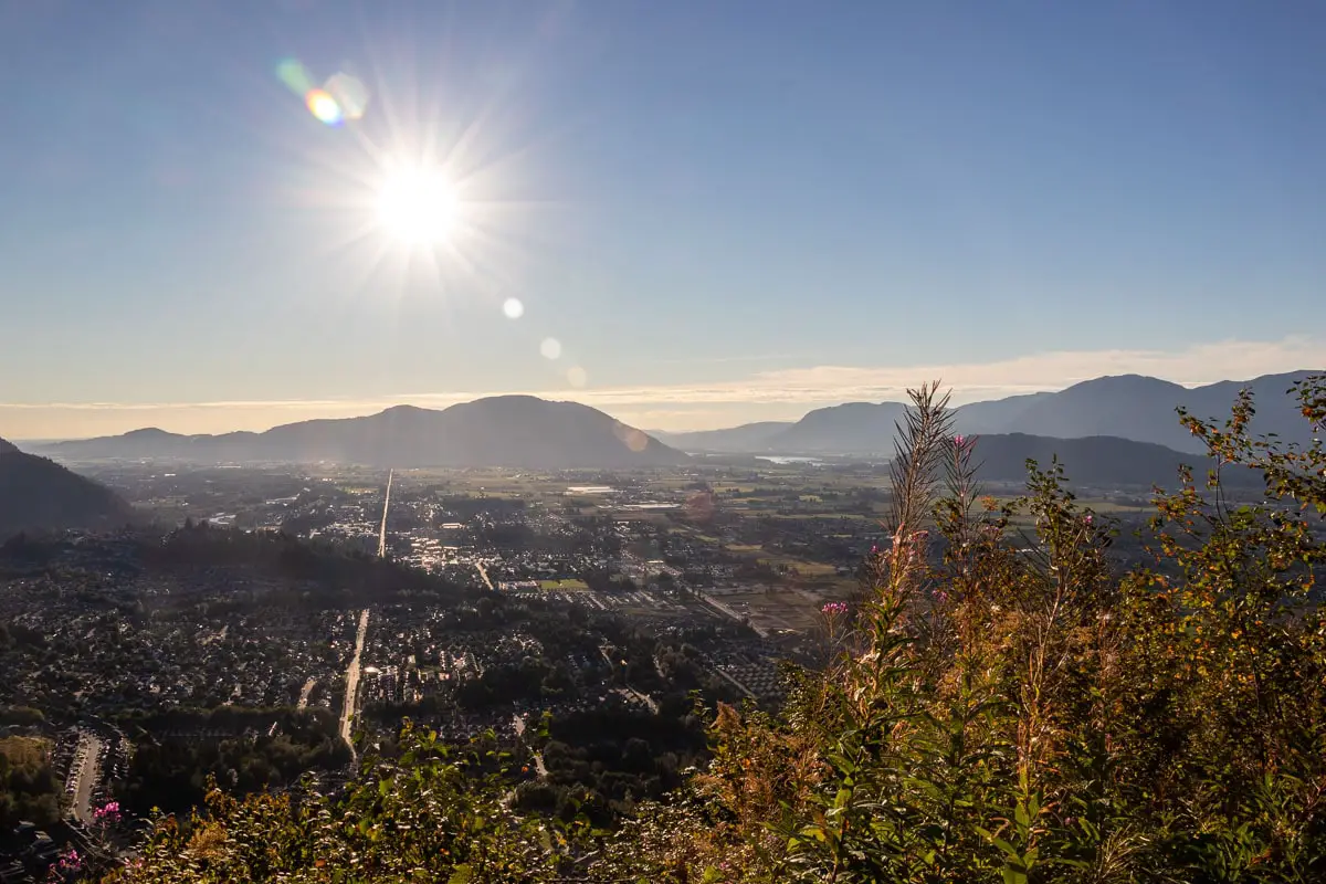
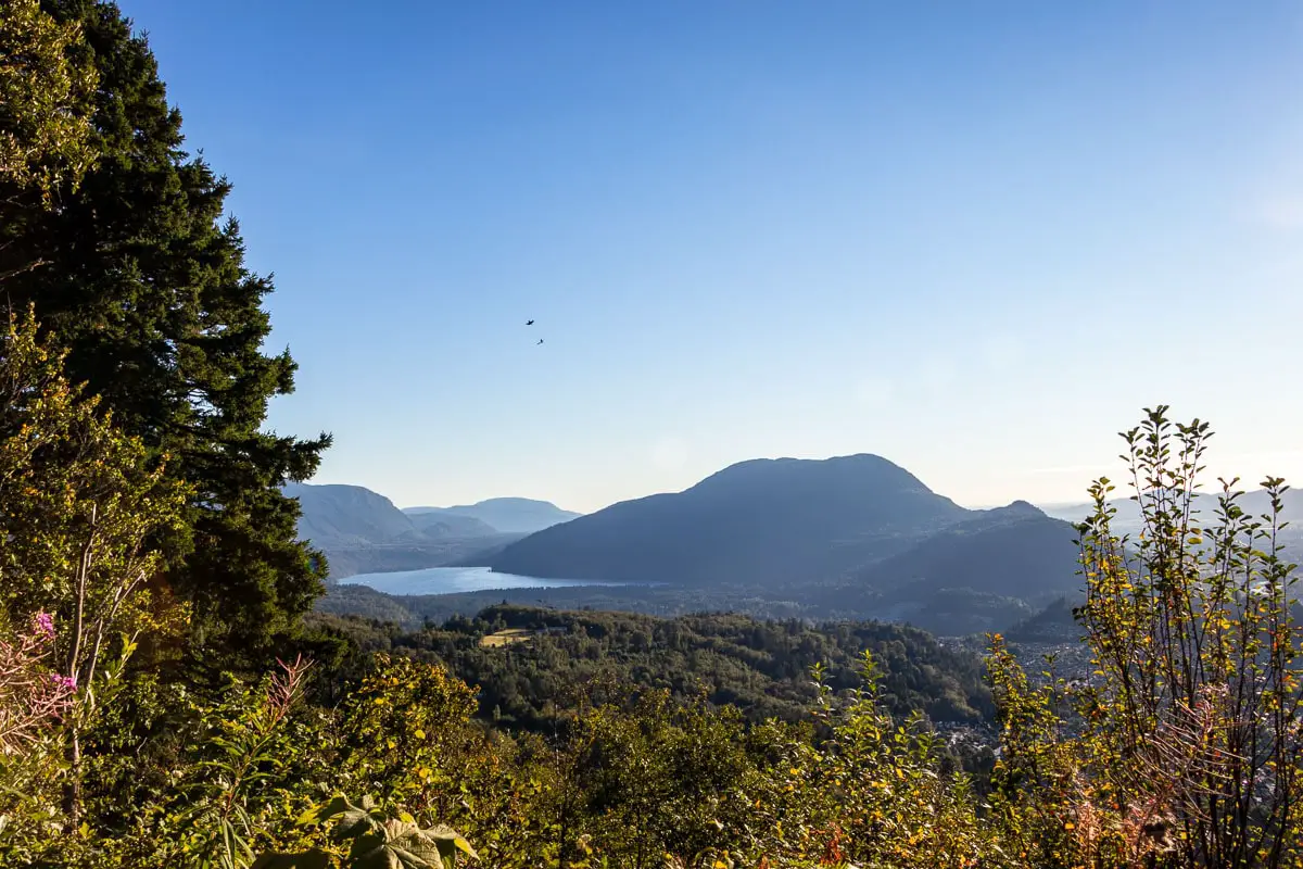
From here, you have an expansive view west. You’ll see Cultus Lake, Chilliwack (with its Promontory neighbourhood directly below), and much of the Fraser Valley. Soak up the view from the large lookout and rest up.
When you’re ready to return to the trailhead, follow the trail down as it continues, and you’ll come to a signboard. You can either return the same way you came, or, if you just want to change it up you can do a loop from here. To do a loop, go right, staying on the Lookout Loop Trail.
When you come to a junction that’s marked for Ridgeline, go left (or you can go right to stay on Lookout Loop Trail and make an even larger loop if you wish).
As you walk down the Ridgeline Trail, you will pass by a detour to a trail marked ‘viewpoint’. There isn’t much of a view there, so continue along Ridgeline. Soon, you will come to the three-way junction from earlier.
Go right. From here, it’s a matter of retracing your steps back to your car.
Download the PDF version of this guide for offline use
Directions and Parking
From Vancouver, take Trans-Canada Hwy/BC-1 E towards Chilliwack.
Take exit #123 onto Prest Road. Follow Prest straight through the roundabouts as it turns into Teskey Way. Turn left onto Jinkerson Road and make an immediate left to stay on Jinkerson Road. Turn right onto Thom Creek Drive, and at the T-intersection turn right onto Sylvan Dr. You can park here at an available space on the side of the road.
Google Map directions are here.
Other great hikes in this area
- Elk Mountain (moderate)
- Abby Grind (Moderate)
- Teapot Hill (moderate)
- View all hiking guides here


