Mount Thurston – Table of Contents
- Hike Introduction
- Hike Statistics
- Mount Thurston Video
- Map and Elevation
- Hiking Route Description
- Directions and Parking
- Free PDF Download
- 360° Photosphere
Mount Thurston Hike Intro
Mount Thurston is a worthy hike that extends from the popular Elk Mountain Lookout. If you have the time and energy after visiting Elk Mountain, Thurston is a nice hike and much less frequented than the Elk Lookout.
From Elk Mountain, the trail carries along the Elk-Thurston Ridge. The ridge reaches a false summit with an incredible view into the Chilliwack River Valley. The flowers along the ridge in the late summer are spectacular.
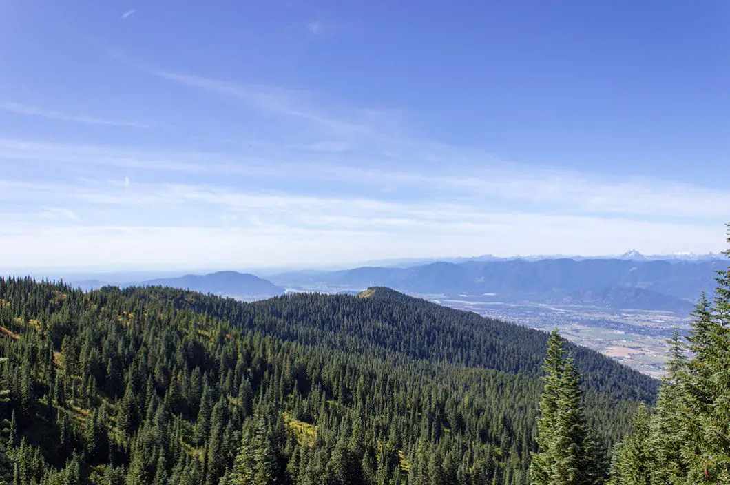
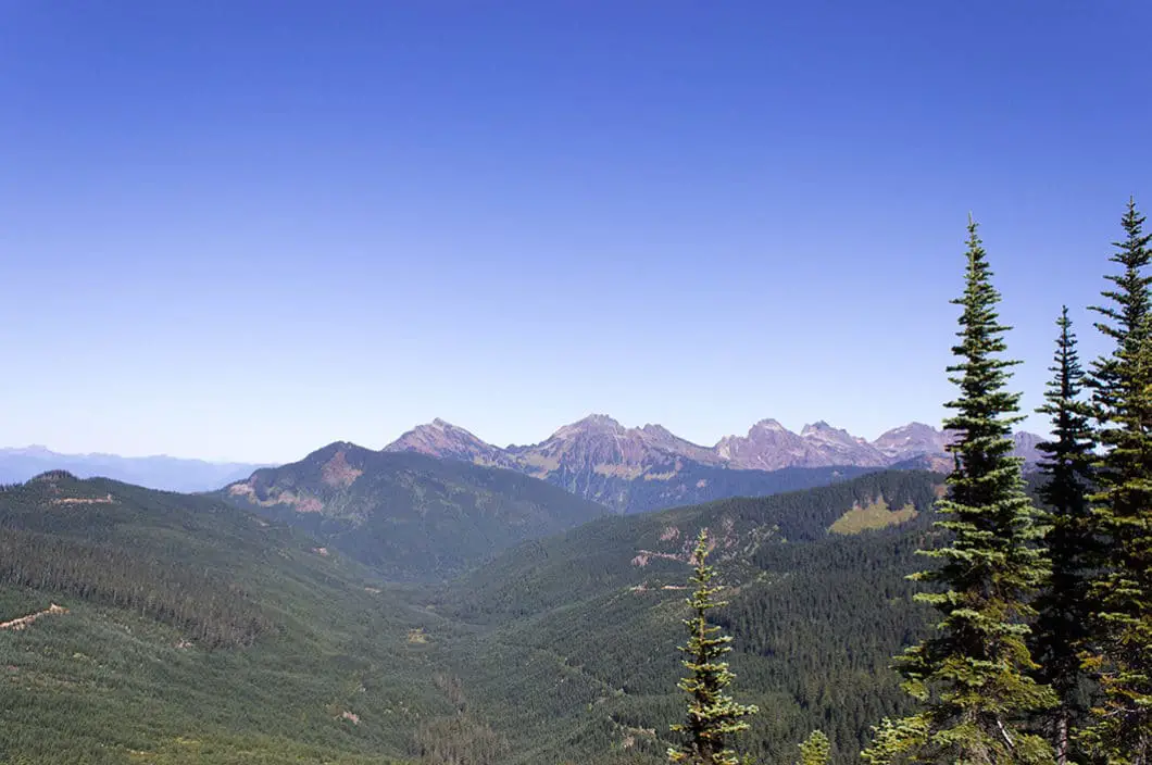
The summit of Mount Thurston is treed to the south, and the view is not as great as Elk Mountain. But, it provides a nice view of the Cheam Range.
From Elk Mountain, the Mount Thurston summit is about 4 km away but only a little more than 200 meters higher. Much of the route to Thurston is easy hiking, with great views along the ridge. You should add about 3 – 4 hours to your day if hiking beyond Elk Mountain to the summit of Mount Thurston.
Mount Thurston Hike Stats
Rating: Moderate
Distance: 15 km
Net Elevation Change*: 986 m
Highest Point: 1,626 m
Time Needed: 7 – 8 Hours
Type: Out-and-back
Season: June to October
Dogs Allowed:Yes, on leash
Est. Driving Time from Vancouver: 1 Hour 45 Minutes
Trailhead Coordinates: 49.104928, -121.820679
*For a better understanding of the stats and difficulty rating, check out the Hiking Guides page for details. Always carry The Essentials and fill out a trip plan.
Mount Thurston Video
Here is a 2-minute video of our experience on this hike!
Mount Thurston Hike Map and Elevation
Mount Thurston
Profile
Mount Thurston Hiking Route
The first 4 km of this hike follows the same route as the hike to Elk Mountain. Read our Elk Mountain guide for the detailed description of that portion of the trail, which we will summarize below.
From the parking area, find the trailhead marked by a large ‘Elk-Thurston Trail’ sign. Walk up the trail, by the outhouse. The trail is wide, well-groomed and easy to follow. There are orange markers in the trees which you will follow up to Elk Mountain.
About 1.5 kilometers, or 30 minutes into the hike, you will come out to a gravel road. The trail continues on the other side of the road.
After 2.5 km, or about an hour at an easy pace, the trail becomes steeper. About 3.4 km, (approx. 1 hour 20 minutes) into the hike, you’ll come to a big set of wooden stairs.
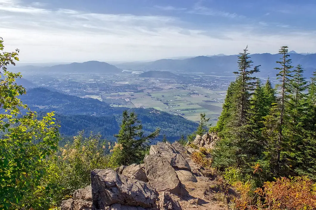
At the top of the stairs, you will emerge from the trees to amazing views. Climb up a little further and you’ll reach the rocky outcrop that serves as the Elk Mountain Lookout. From the lookout, you have a fantastic view south, down the Fraser Valley and over Cultus Lake, and the City of Chilliwack.
Keep climbing up the trail, taking caution in the next section. It is the steepest and most difficult section of the entire hike. The loose dirt can be troublesome.
You will climb up another set of stairs and emerge onto the Elk-Thurston Ridge.
As you walk along the ridge, you have incredible views to the south, looking towards the United States. You can see the Chilliwack River, Mount Baker, Mount Slesse, Mount MacFarlane, Tomyhoi Peak, and the American and Canadian Border Peaks.
Carry on along the Elk-Thurston Ridge. Most of the climbing is behind you and it becomes a flatter hike from here. As you carry along the ridge, you will continue to have views of the Chilliwack River and Valley down below, and the gorgeous mountain range to the south.
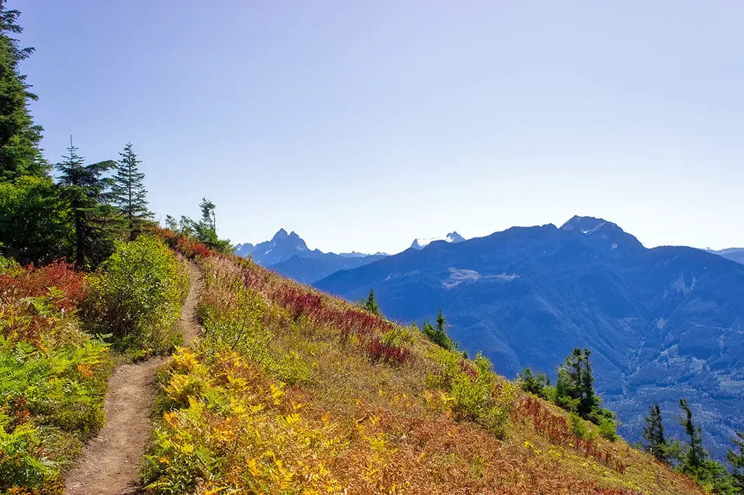
The trail will drop down and tuck in and out of the trees along the ridge. The trail becomes narrower than before but remains easy to follow and well-defined. If you pay attention, you may notice some distance markers in the trees. There is a 4.5km marker about 2 hours into the hike, with the elevation here at just over 1,400 meters.
The trail rolls up and down along the ridge, gaining net elevation slowly. The trail markers remain in the trees to ensure you’re on the correct route.
You’ll come out of the trees to a small, exposed area. You will have a nice view of the Chilliwack River cutting through the valley below.
Keep pushing on. Shortly after, you will come to a small summit with a large cairn. There is a great panoramic view of the area from this spot. This false summit of Thurston arguably has the best view of the entire hike. You can now see west along the ridge you’ve just walked from Elk Mountain. This is a nice place to rest. If your time is limited, or energy is fading, this would be a good point to return from, saving Thurston for another day.
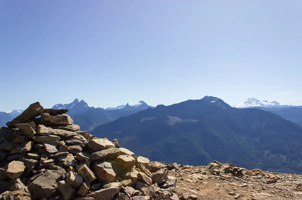
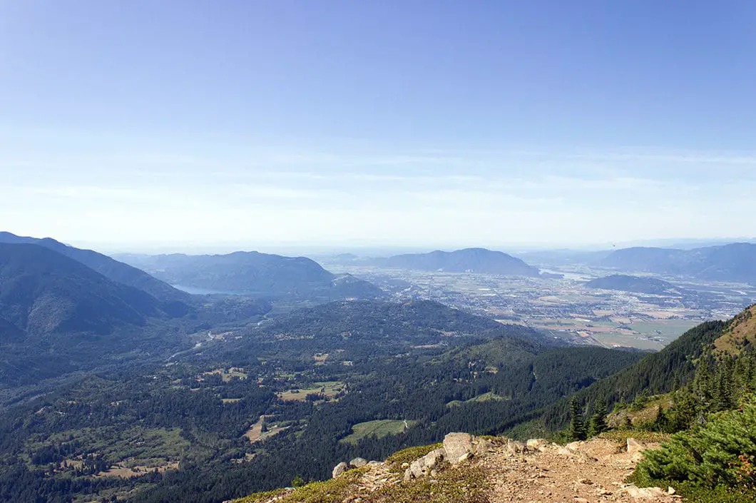
As you walk along the ridge, you have incredible views to the south, looking towards the United States. You can see the Chilliwack River, Mount Baker, Mount Slesse, Mount MacFarlane, Tomyhoi Peak, and the American and Canadian Border Peaks.
Carry on along the Elk-Thurston Ridge. Most of the climbing is behind you and it becomes a flatter hike from here. As you carry along the ridge, you will continue to have views of the Chilliwack River and Valley down below, and the gorgeous mountain range to the south.
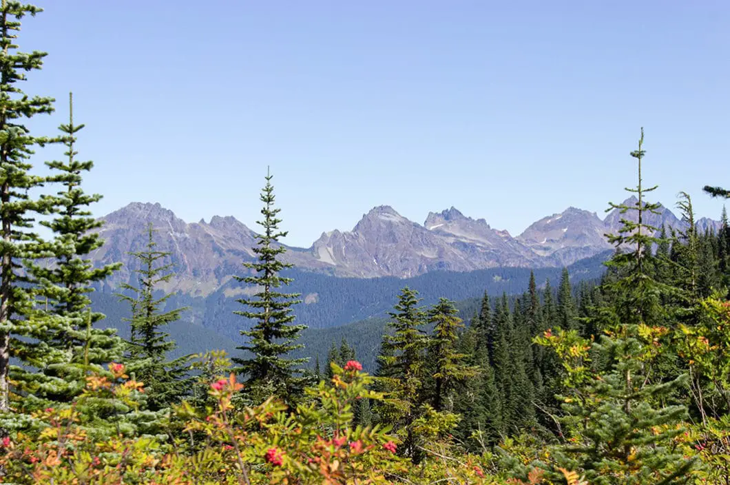
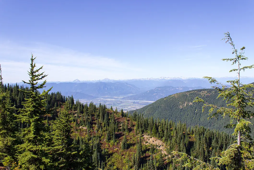
You’ll come to a clearing where the trail peters off. There is no 360-degree panorama from the lookout on Mount Thurston. Trees block your view to the south. But you now have a terrific, 180-degree view to the north, with the Cheam Range off in the distance northeast. The summit is a bit anti-climatic. But with the amazing views along most of the trail, you won’t feel disappointed.
Cool fact: “The western peaks in the range – Cheam, Lady, Baby Munday and Stewart, are known in areas of the Fraser Valley where they are visible, as the “Four Sisters”. The eastern peaks in the range are referred to as the Lucky Four Group because of their proximity to the abandoned Lucky Four Mine”. [source]
Beyond Mount Thurston, the trail continues towards Mount Mercer. However, the trail becomes less used and harder to follow. We’ll leave that for another trip.
When ready, retrace your steps all the way back to the parking lot.
Download the PDF version of this guide for offline use
Directions and Parking
Follow Trans-Canada Highway #1 east to Prest Rd in Chilliwack. Take exit 123. Take a left on Bailey Road and then fork right onto Elk View Road. Elk View Road will wind uphill for a long ways, and turn to gravel for the last kilometer. You will reach a gravel parking area at the trailhead.
Google Map directions are here.
Other great hikes in this area
- Lindeman Lake (moderate)
- Bridal Veil Falls (easy)
- Elk Mountain (moderate)
- Mount MacFarlane (difficult)
- View all hiking guides here
Download the PDF version of this guide for offline use
360° Photosphere (click and drag to look around)
View from the Elk-Thurston Ridge on the way to Mount Thurston:


Kelly
Went Almost to the top of Thurston on June 4. Weather turned, and I was alone, so I turned around.
Reached an elevation of 1325m. There were patches of snow just before I turned around. Snowshoes/spikes not needed, but be mindful of slippery spots.
The trail is marked well to Elk Mountain peak, but heading on towards Thurston, there were no signs until I got to my turnaround point.
This is a lovely hike! The longest first part is mostly through beautiful forest. Not many views to start. Try to go on a clear day, because once you reach Elk peak, it’s nice views for most of the rest of the way.
This hike took me 6.5 hours, with 17km on my pedometer. I am a moderately-slow hiker, and take lots of time for photos and rests.
Fraser Valley Conservancy
Watch for the detour route on a main road to the Elk Mountain/Mt. Thurston Trailhead in Chilliwack!
Starting any day now, and lasting a couple of weeks, there will be thousands of tiny toadlets migrating across Elk Road – the main road up to the Elk Mountain Trailhead. They’re almost impossible to see when you’re driving because of they’re no bigger than a dime!
Trail users can help make sure these little guys don’t get squished by using use the clearly marked detour route along Ryder Lake Road! This road still leads to the trailhead, and only adds an extra 400m to your drive.
Thank you for doing your part to save the Western Toads!
Thank you!
-The Fraser Valley Conservancy
Karl W
Thanks for the details, I didn’t realize there was a cairn at the summit-proper! I figured the true summit wouldn’t have a view beyond to the point where the trail leads.